EN
EN

Fernwanderweg
RheinBurgenWeg 13th Stage Remagen - Rolandsbogen (South-North)
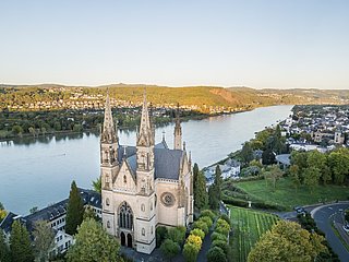
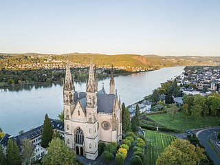
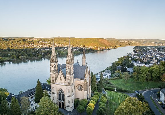
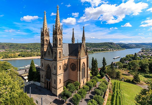
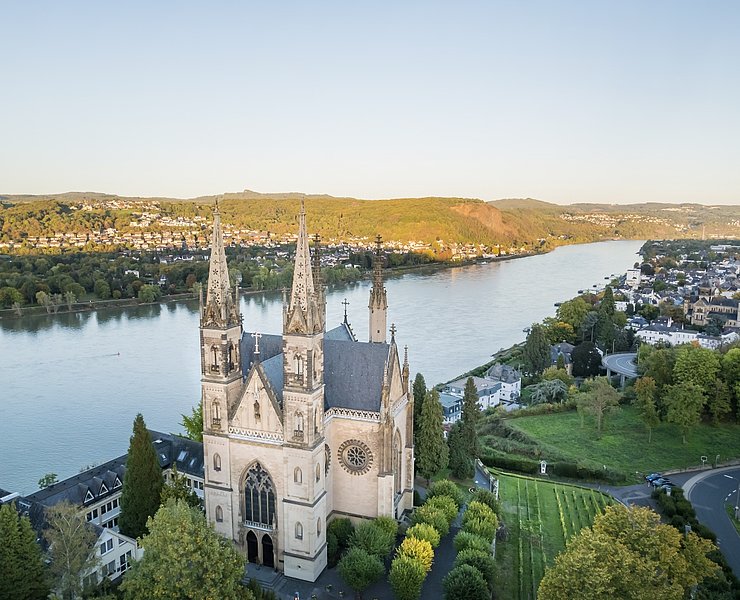
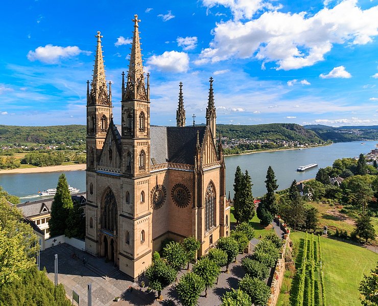
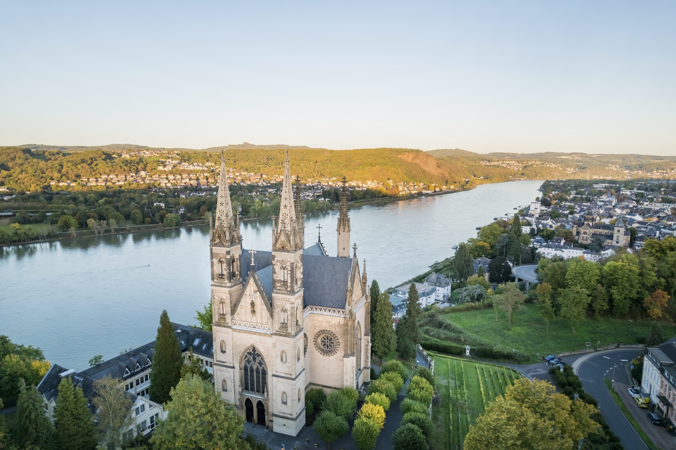
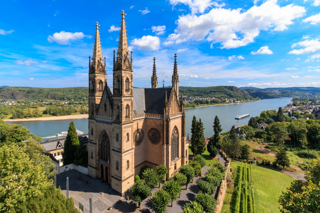
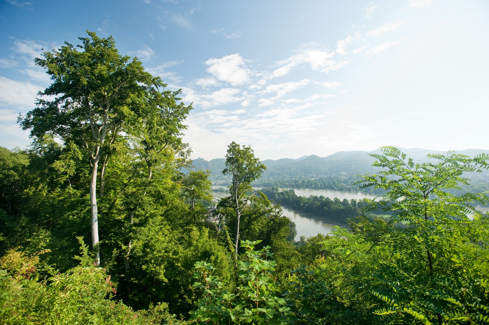
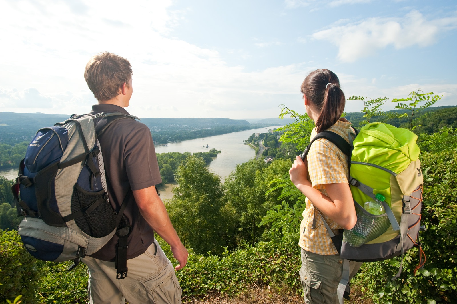
From Remagen, you ascend to the impressive Apollinariskirche and enjoy a great Rhine panorama. Then it continues varied with lots of ups and downs, sometimes through forest, sometimes over orchards or quiet valleys. Via Unkelbach and Oberwinter, you finally reach Rolandsbogen, where the Rheinburgenweg adventure ends after nearly 200 km.
Access path: From the city center and the Remagen train station, you reach the underpass of the B9 via an access path, where you meet the Rheinburgenweg (RBW) again.
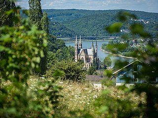
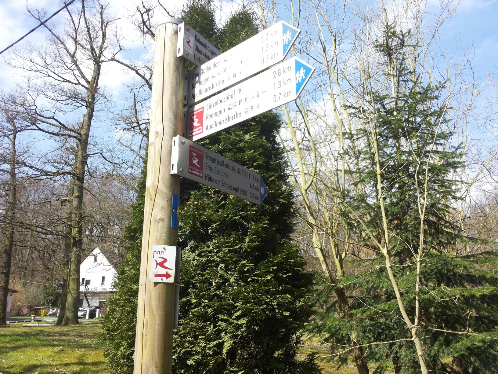
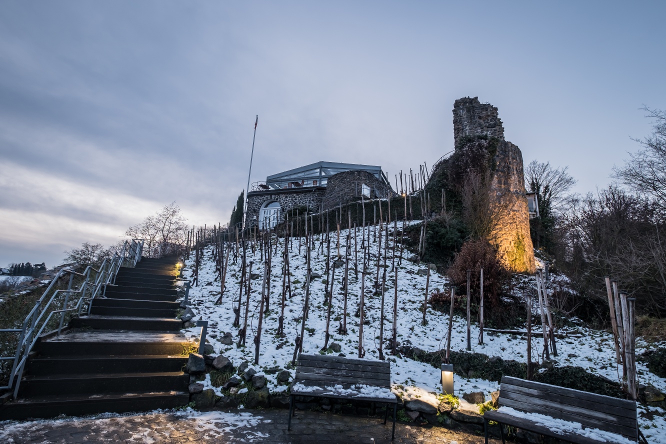
Over the Kreuzweg, you start the first ascent of the day, which leads to the impressive Apollinariskirche. From there, you use stairs and a path to reach the Franziskus statue, where you have a wonderful view of the church, town, and the Rhine. Then you continue steadily uphill, only flattening out at the junction to the nearby Scharfenberghütte. Shortly afterward, you walk briefly alongside the Waldschlösschen next to the road, then turn back into the forest. A dreamy passage follows around the idyllic forest pond, with benches on the shore inviting you to dream and rest. With some detours, the logos lead through the forest. Finally, the path descends significantly and arrives at a game enclosure in the quiet Calmuthtal. You follow the enclosure briefly, then the RBW sharply turns left and climbs steeply on a narrow path over a ridgeline. Once the hill is conquered, the RBW immediately descends again into the valley.
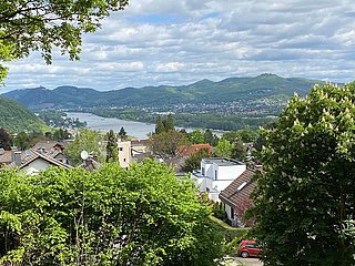
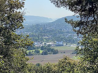
The path slowly flattens and leaves the forest. From a bench, the view extends over the valley floor of the Unkelbach and the town of the same name. The RBW reaches the first houses, crosses the Rheinstraße and shortly afterward also the stream. Then the town is left behind while the RBW leads right above the stream through loose forest towards Bandorf. A short, steep ascent overcomes a crest before descending to Bandorf. There, a great rest spot awaits at the Sümpborn.
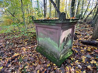
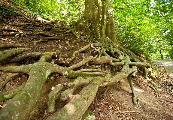
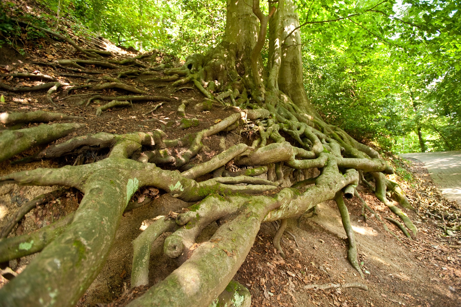
You should allow yourself the break, because the RBW now briefly follows the Bandorfer Bach but then demands good fitness on an extremely steep short ascent up to Oberwinter. After a visit to the town, the RBW runs parallel to the slope along the edge of the development, offering occasional nice views. At the end of this section, the RBW descends to the Oberwinter sports field and then turns right into a grove. After another ascent, you cross a meadow and enter the high forest. There, the ascent to Berschberg continues leisurely with some changes of direction. Forest clearings, moss-covered veteran trees, or evergreen, spiny holly bushes repeatedly provide variety.
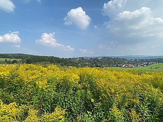
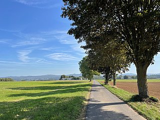
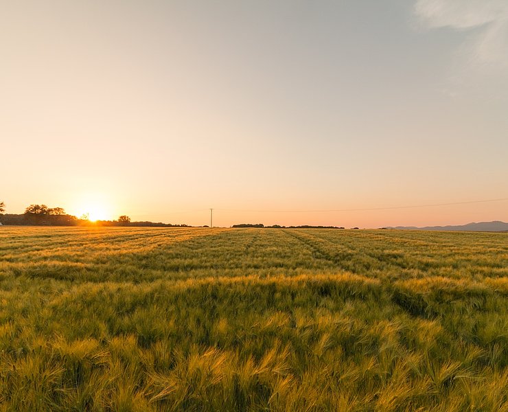
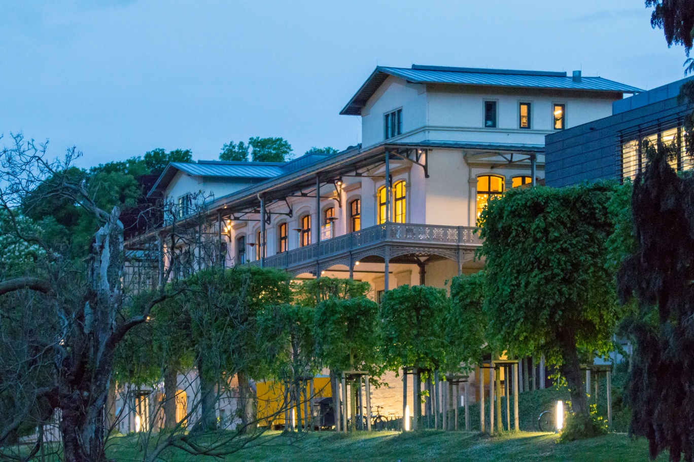
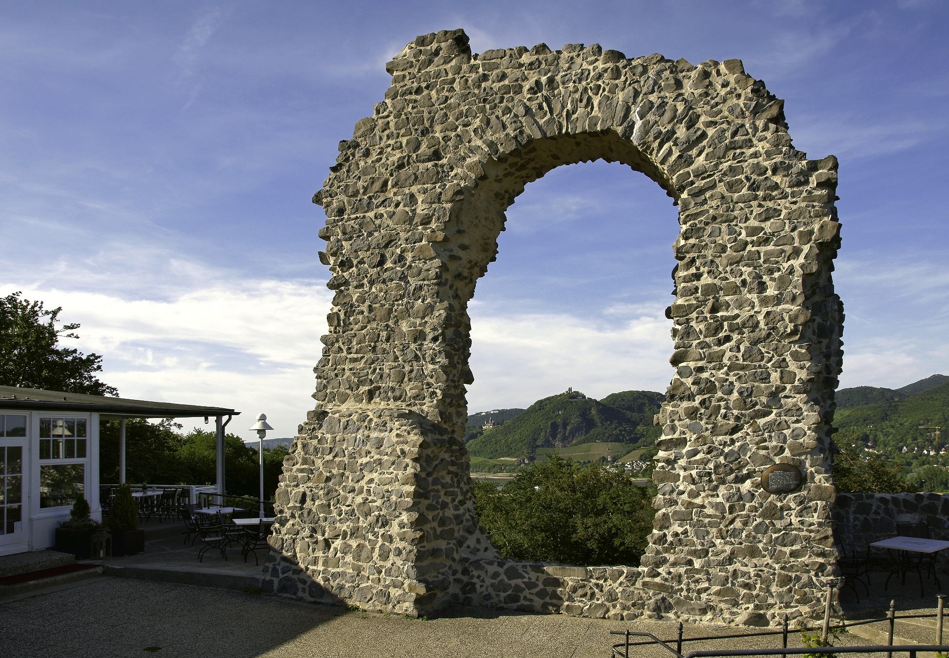
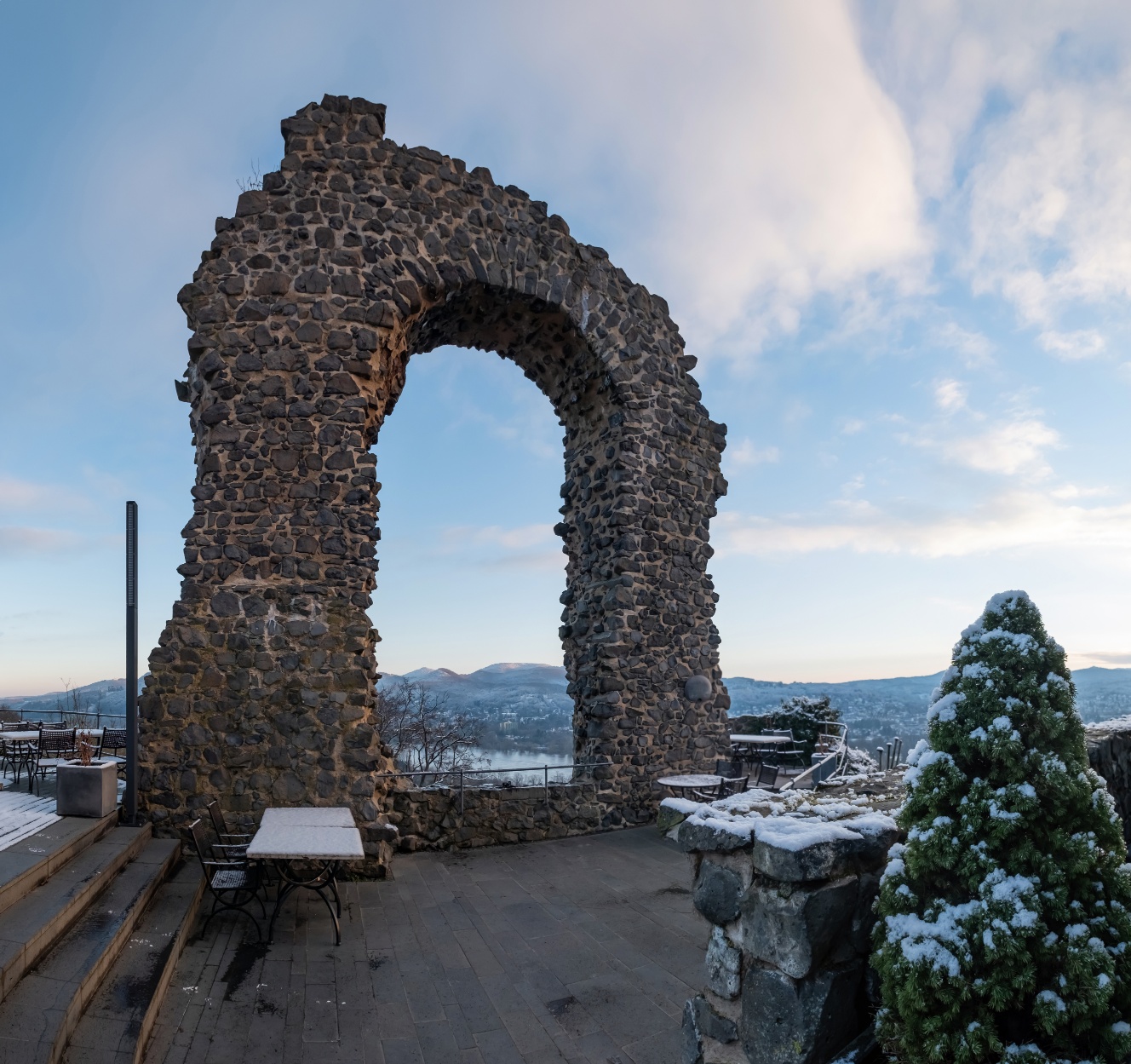
After passing the shelter on Berschberg, you may hike downhill and finally reach the junction to the Arp Museum about 700 m away and to the Rolandseck train station. The RBW continues to lose altitude, which only changes when it reaches the Rolandswerther Bach. After crossing it, the RBW climbs once more. Through a cozy mixed forest you walk uphill until the forest recedes and orchards flank the path. You follow the comfortable path across the plateau relaxed and then turn right downhill at the end. Now it’s not far to the junction to Rolandsbogen, where the Rheinburgenweg adventure ends with a glorious view of the Rhine and the Siebengebirge.
Access path: Those who want to go to the Rolandseck train station can follow the 1.2 km long access path. It leads past the Freiligrath monument down to the B9. There, it goes downstream to the parking lot, the train station, and the ferry.
- Route tour
- Long-distance hiking trail
- Hiking trail
- Hiking

source
Romantischer Rhein Tourismus GmbH
·
Author:
Joachim Fox