 EN
EN

Tour
easy
Oberwinter circular hiking route 3 - On the heights of Oberwinter
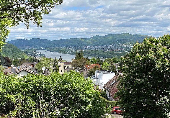
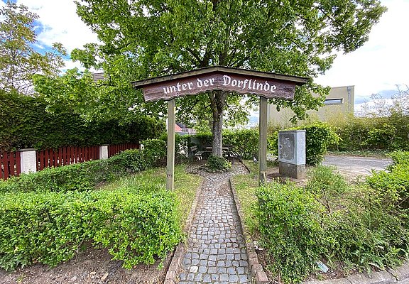
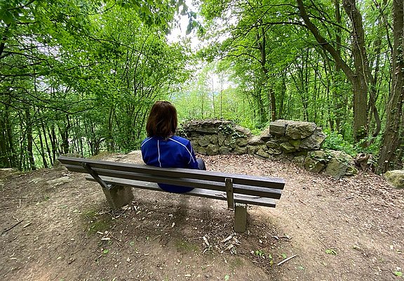
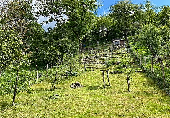
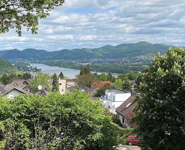
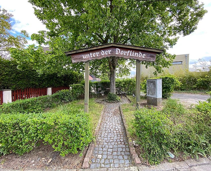
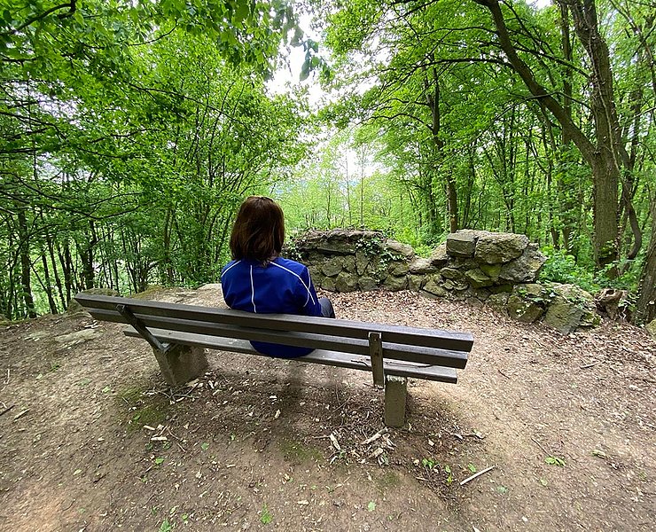
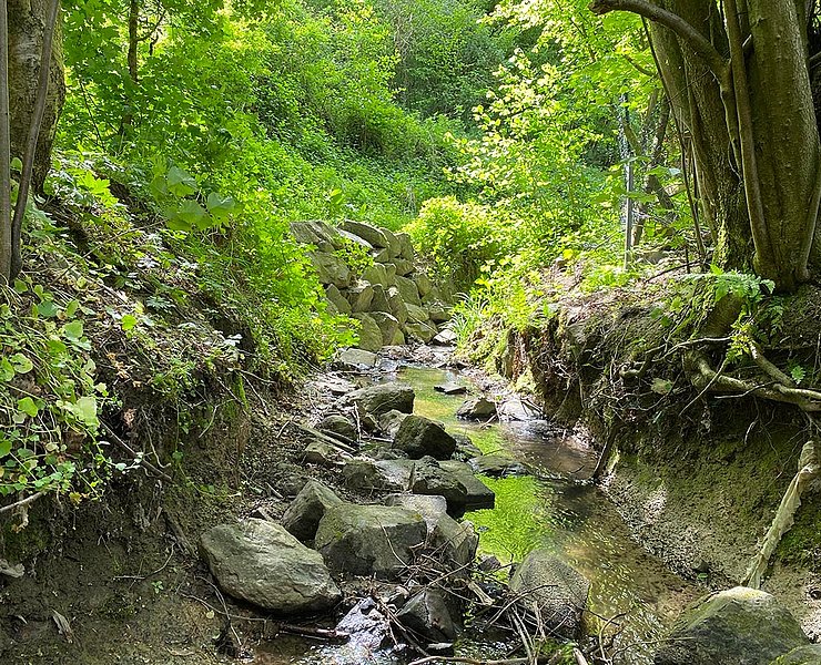
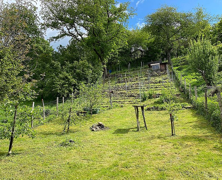
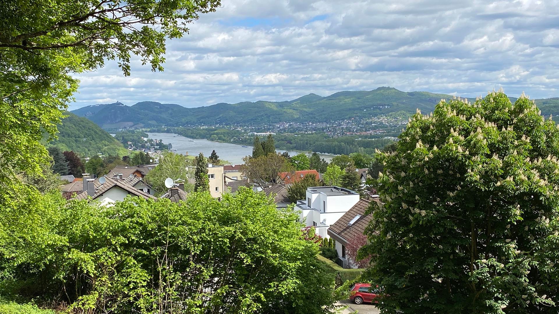
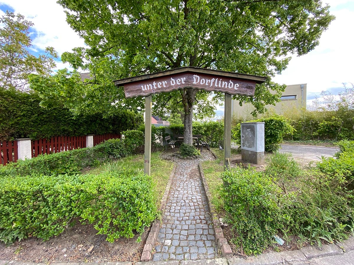
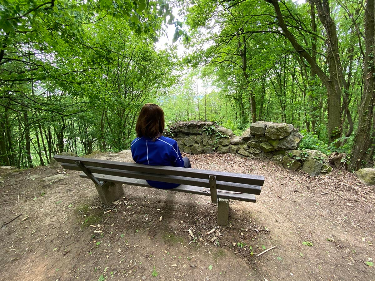
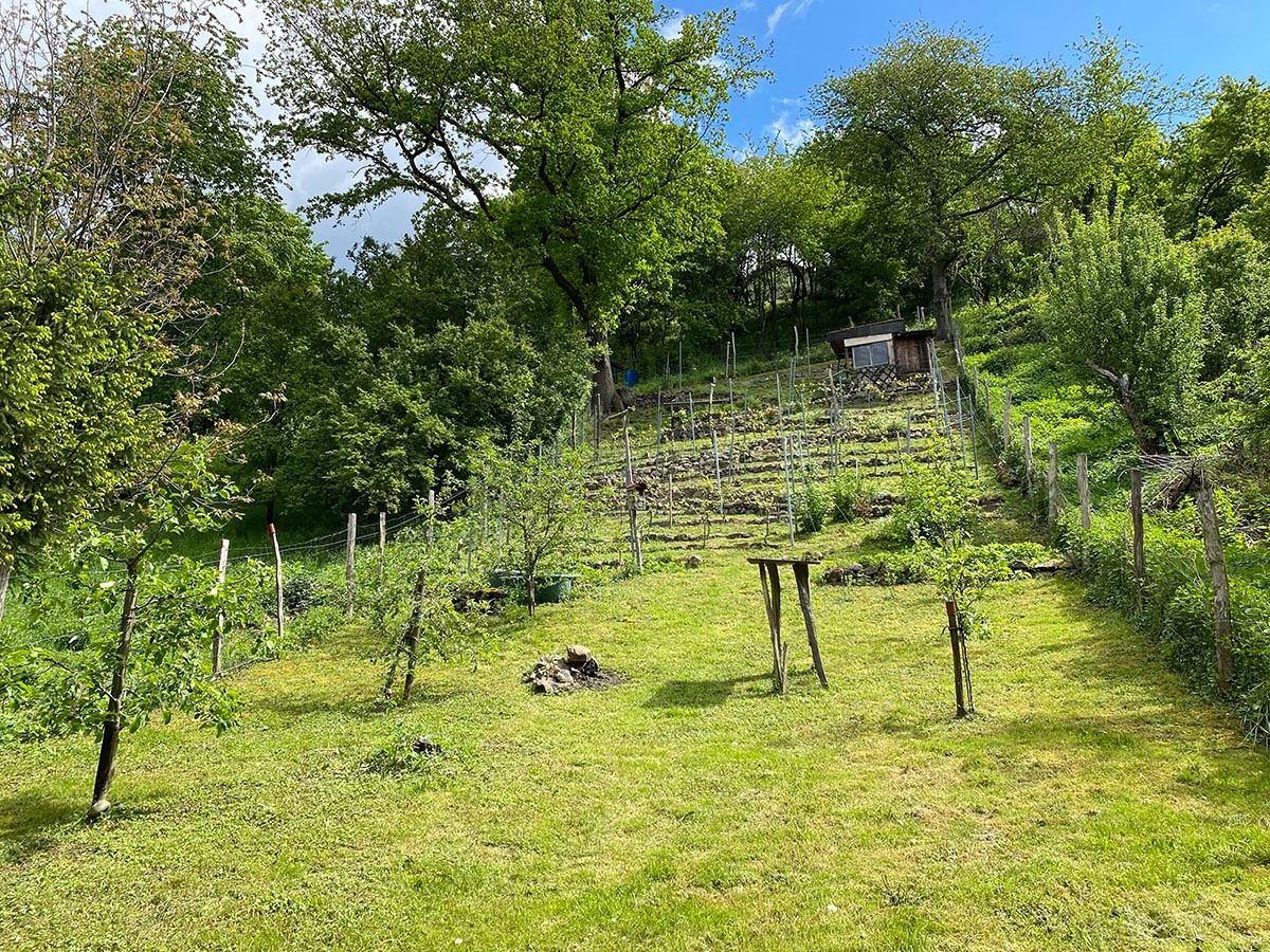
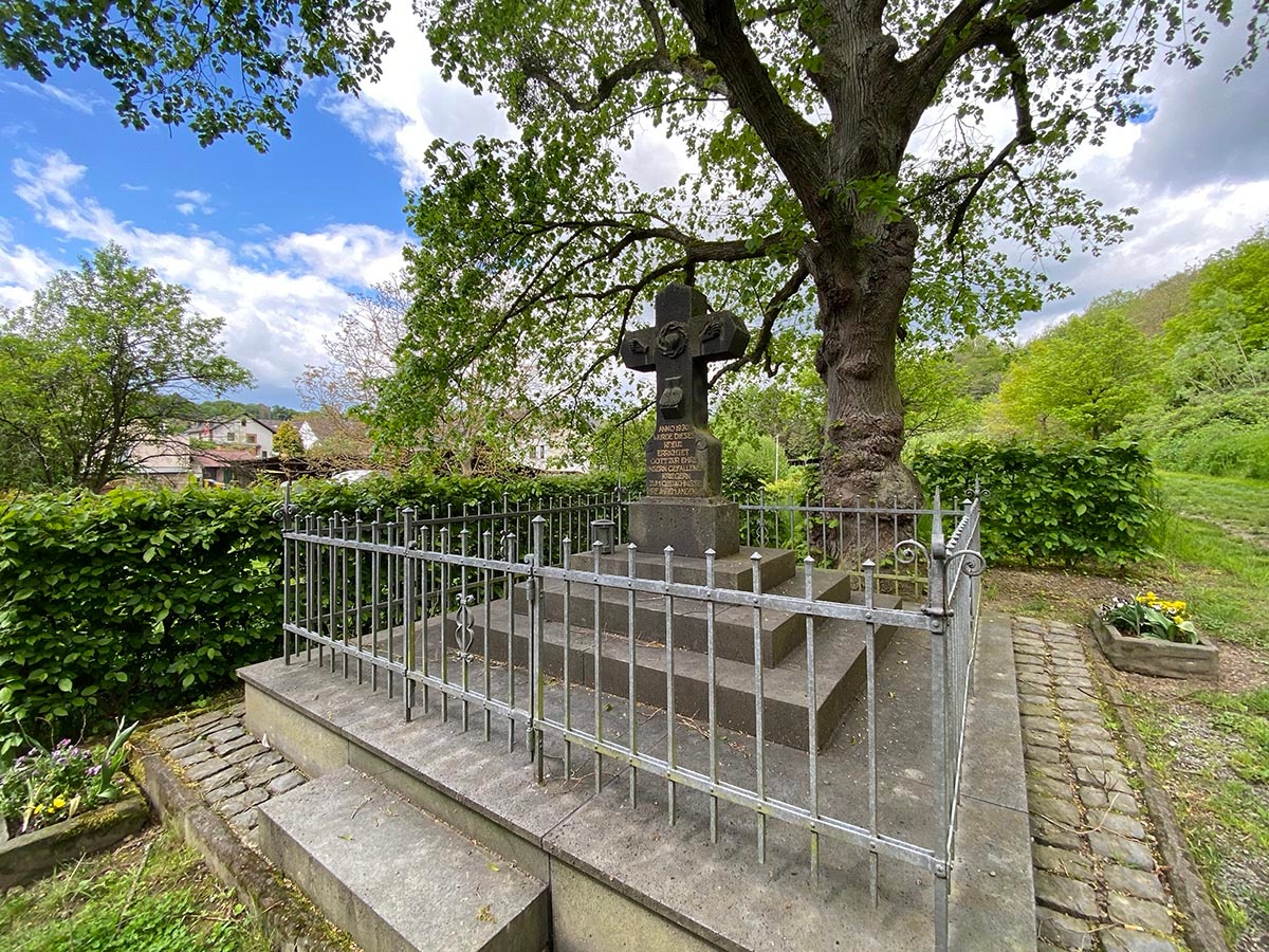
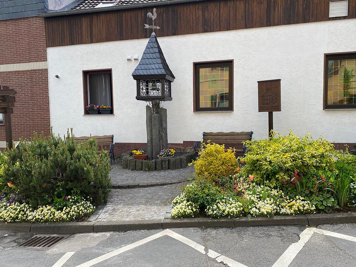
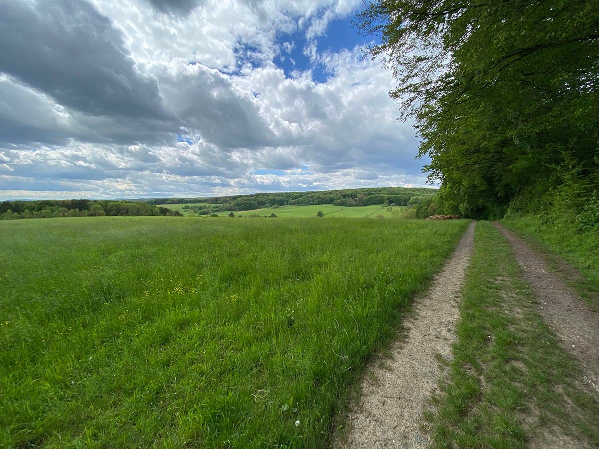
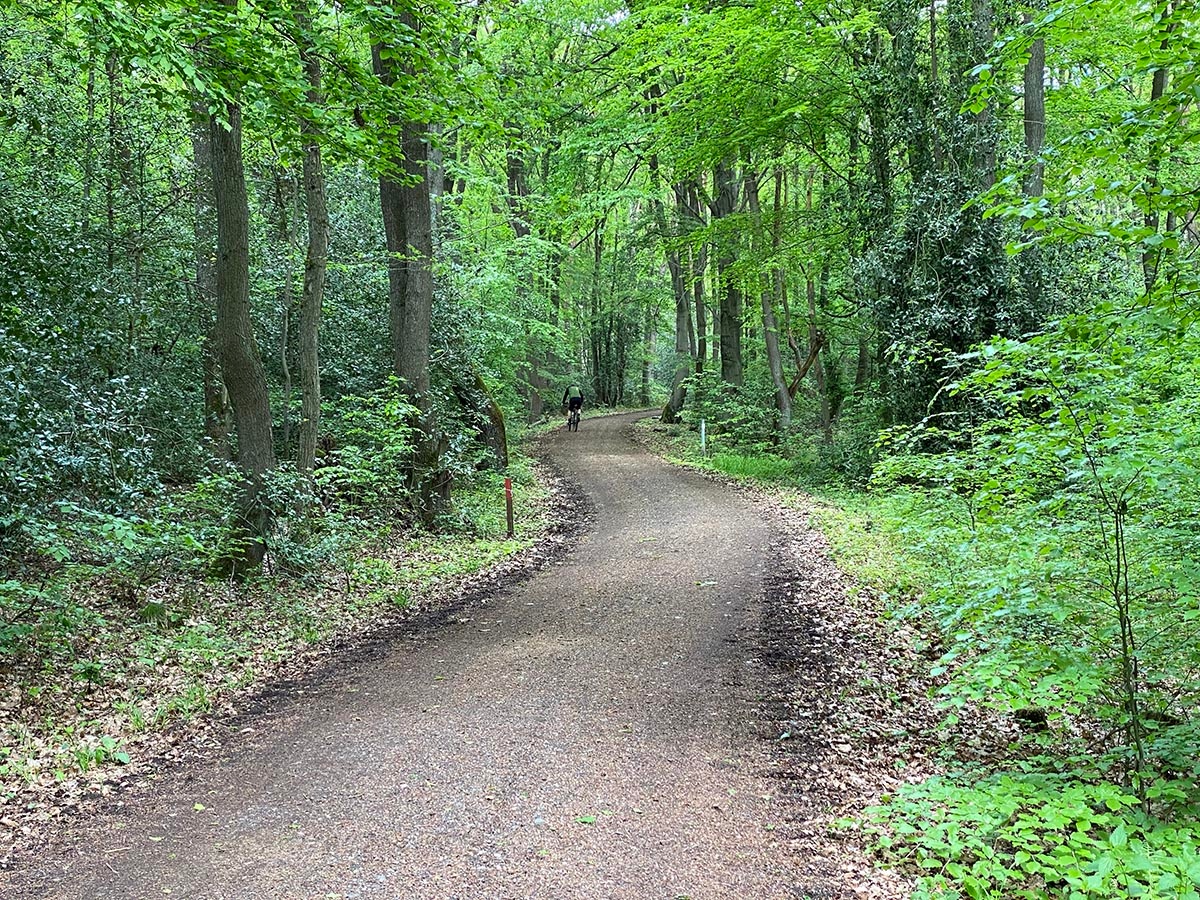
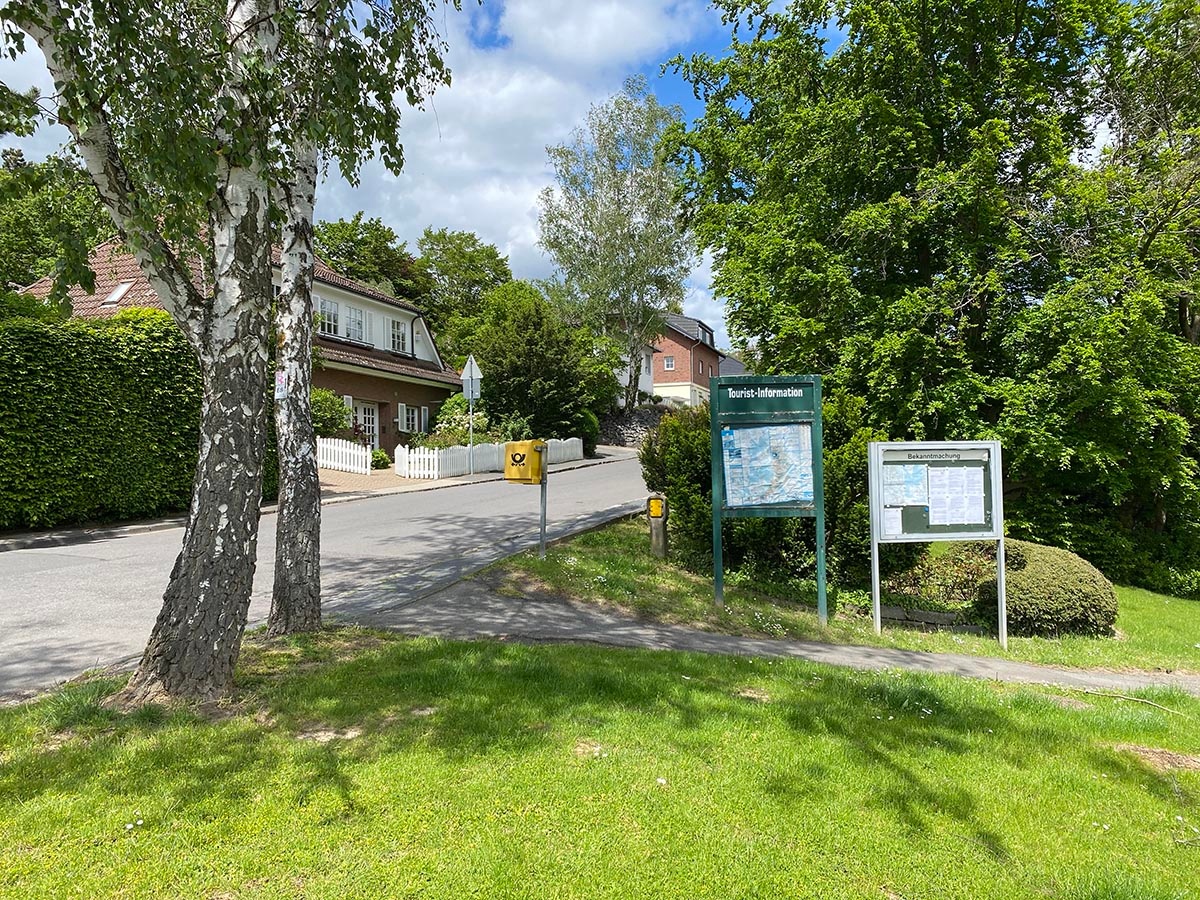
The hiking route is just under 8 kilometers long and quite varied. You can park well at the starting point and begin the route on the Rheinhöhe. On the way to Birgeler Kopf, you have a nice view toward the Rhine and Westerwald ("Westerwaldblick"). You pass through the small village of Bandorf, and the next part of the route goes partly through open countryside and meadows. The last part of the route leads back up the Rheinhöhe via beautiful forest paths. There are no refreshment options on the trail, but after the round you will find restaurants and cafes down in the historic town center of Oberwinter or at the harbor.
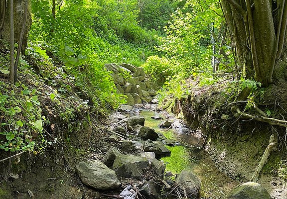
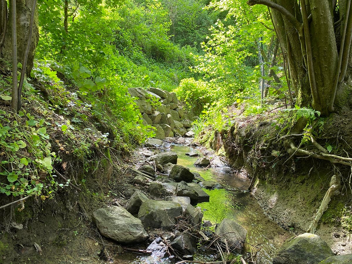
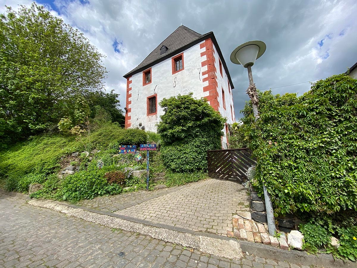
First along the Rheinhöhenweg to Birgeler Kopf, from there downhill to the right first along the Rheinhöhe, then down into the valley to Bandorf. There along the Bandorf stream to the old crossroads, left there through the small village, past the historic tithe tower. At the end of the village, turn right towards the north, after a stretch through open meadows and fields turn right uphill through the forest back up to the Rheinhöhe.
Streckenart
- Round trip
- Hiking trail
Urlaubsthemen
- ZG Vielseitig Aktive (L)
- ZG Aktive Naturgenießer (L)
- ZG Kultur- und Landschaftsliebhaber (L)
- ZG Nur Wanderer (L)
Touren
- Hiking

source
Mittelrhein
·
Author:
Tourist-Information Remagen
















