 EN
EN

Tour
Eisenweg
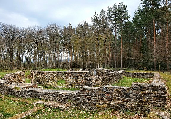
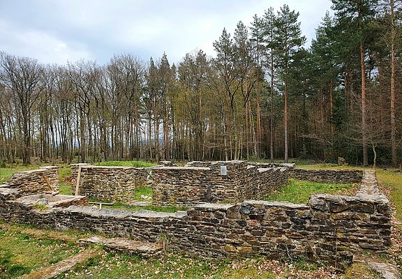
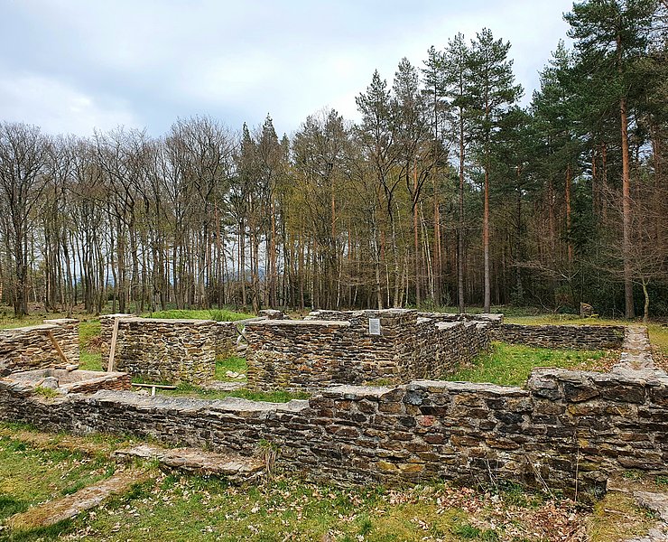
The circular route delights not only hiking enthusiasts who can discover rare plants and animals in pools in nature, but also history lovers get their money's worth. The path makes the hike through historically interesting places a unique educational excursion. On the hike, one encounters, for example, wall remains belonging to former grave fields of the Roman iron smelting. In addition, parts of the almost 2,000-year-old industrial settlement can be found here.
Information boards along the way provide insights into a long past time.
The circular trail not only delights hiking enthusiasts, who can discover rare plants and animals in ponds in nature, but history lovers will also get their money's worth. The trail turns a hike through places of historical interest into a unique educational excursion. On the hike, for example, you will come across the remains of walls belonging to former burial grounds of the Roman iron smelter. Parts of the almost 2000-year-old industrial settlement can also be found here.
Information boards along the way provide information about a bygone era.When in the 1950s forestry workers in the Ahrweiler city forest came across strange ground elevations, they suspected that something very special was hidden here. They reported their find, and shortly thereafter archaeologists from the University of Bonn began excavations. It soon became clear that in ancient times there had been a larger facility for processing iron ore at this site.
Since then, this site has been marked as "Roman settlement" or "grave field" on hiking maps. Hardly any hiker took notice of it. It was only more than fifty years later that the authorities of the Ahrweiler district and the Bad Neuenahr-Ahrweiler city administration remembered the historically significant treasure in the city forest.
Since early May 2001, there has officially been the "Eisenweg," which aims to combine history, ecology, and tourism business. For hikers eager for nature experiences, a remarkable step in the right direction.
We start our hike at the hiking car park "Alte Mauer" on Ramersbacher Straße between Ahrweiler and the small village of Ramersbach (Eifel-Ardennes Road). An information board provides valuable background knowledge. (Please note that the hiking car park is currently closed. You can alternatively start from the car park at "Waldwinkel" or from Ramersbach).
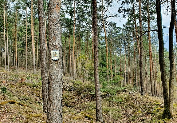
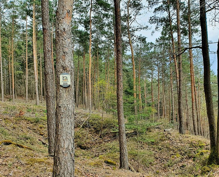
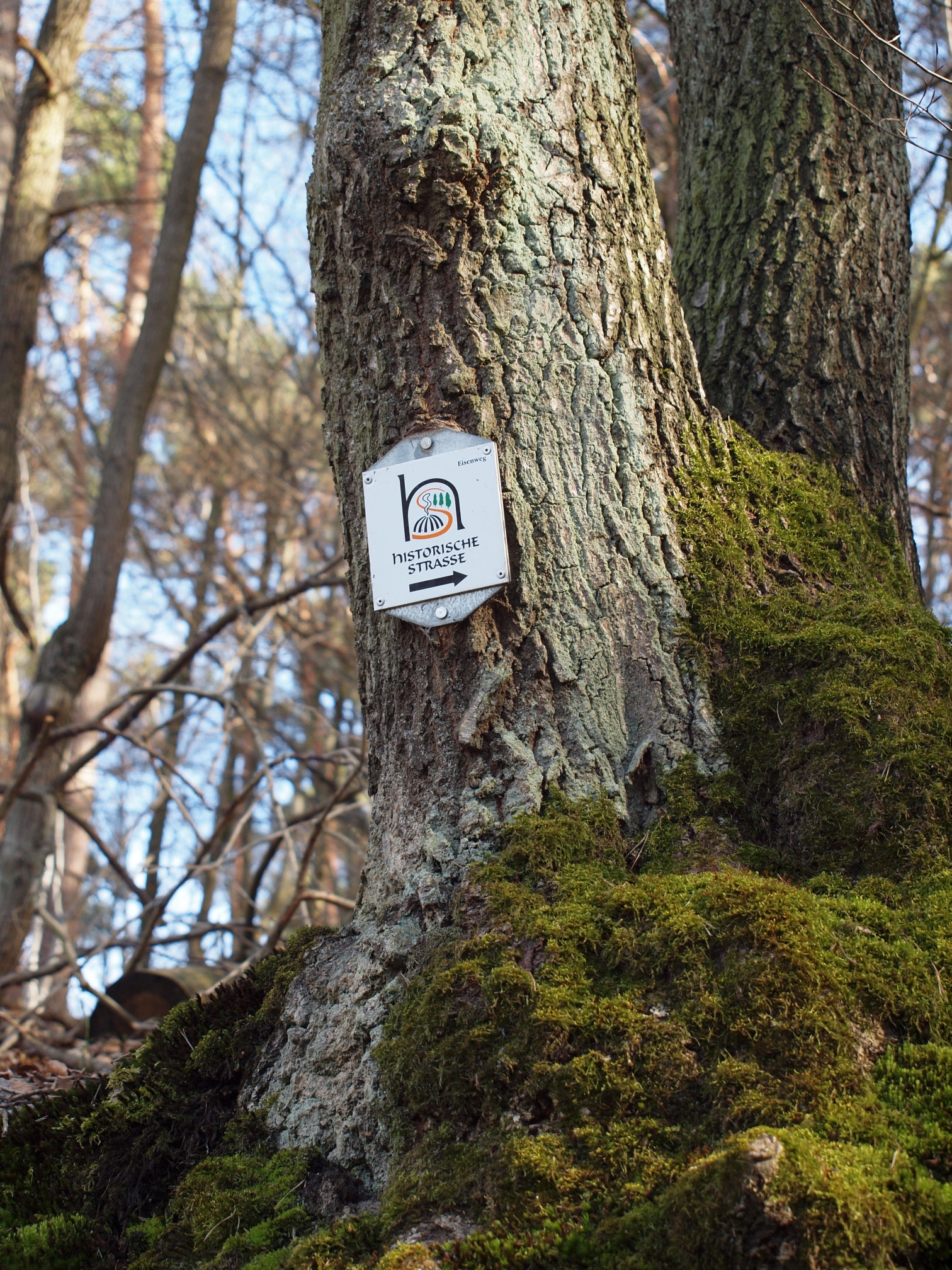
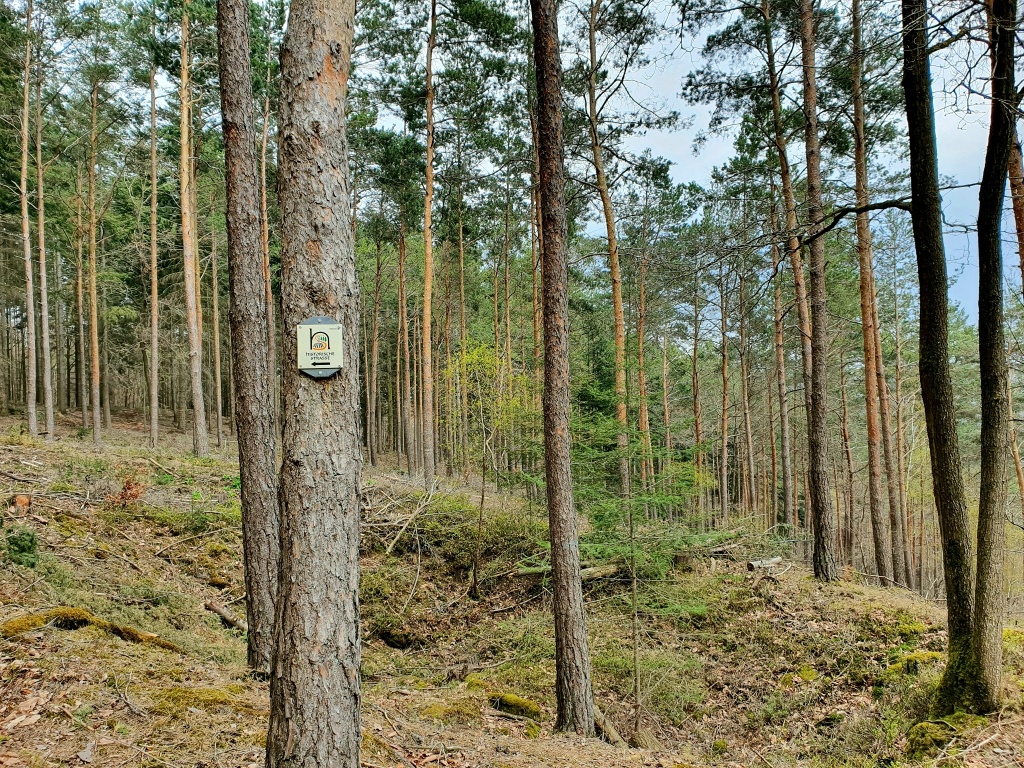
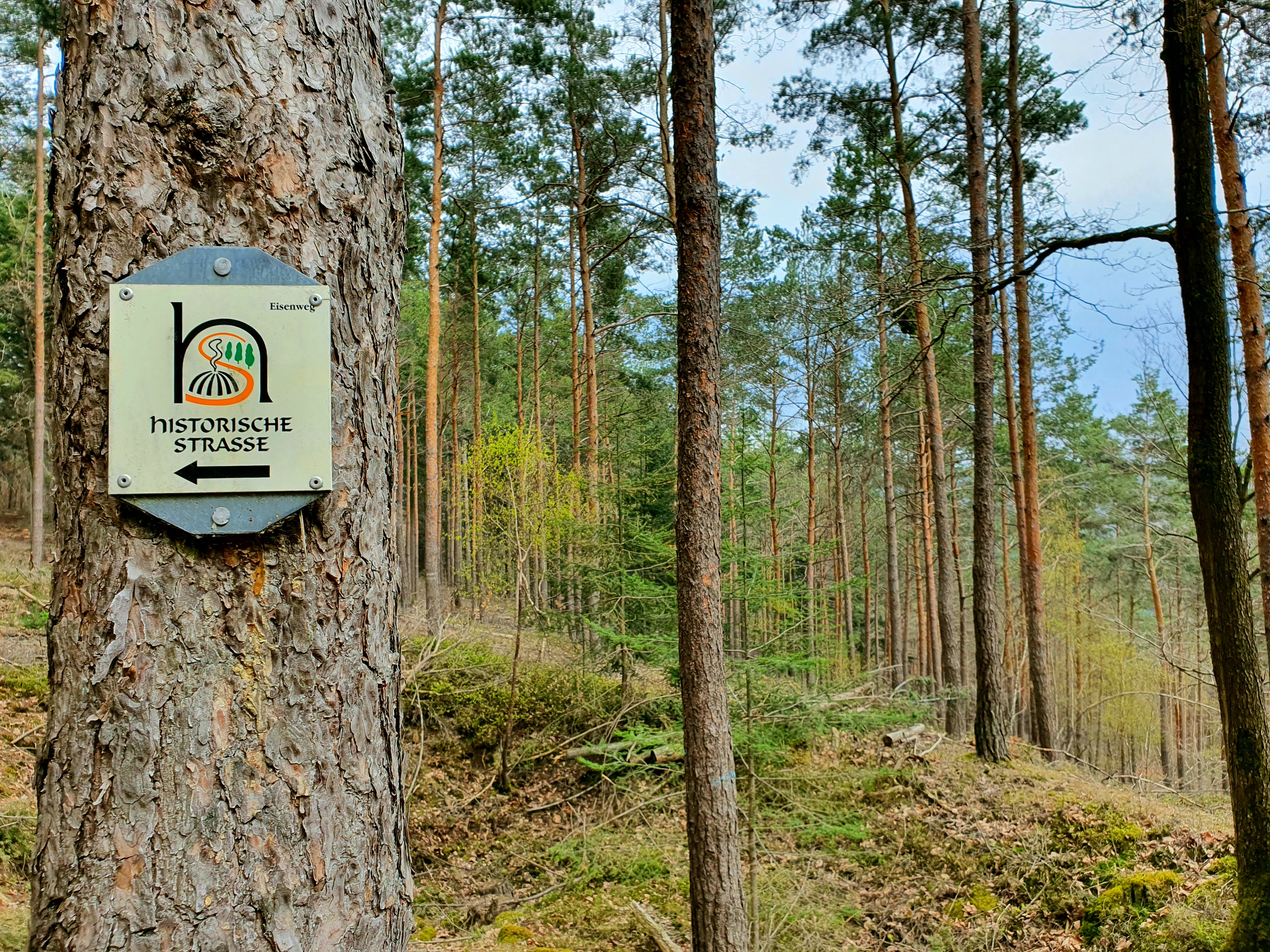
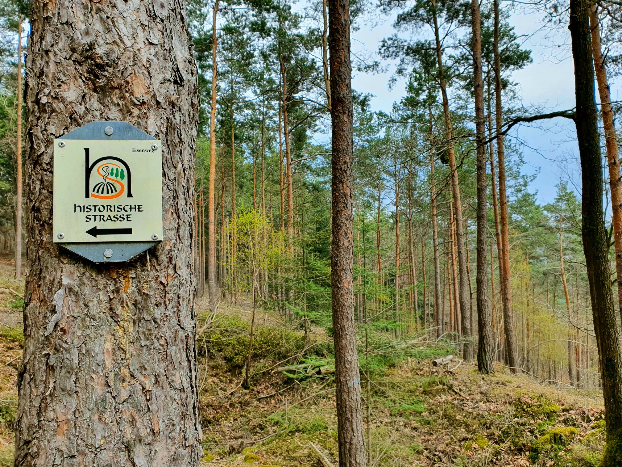
After about 300 meters, we follow the signposted route A7 to the left. Shortly after, a sign points us to the grave field of the Roman iron smelting to the left of the path. A few remains of rectangular foundations and brick shards prove that a long time ago, people buried their dead in various ways among pine trunks and blackberry bushes.
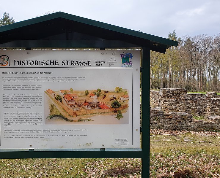
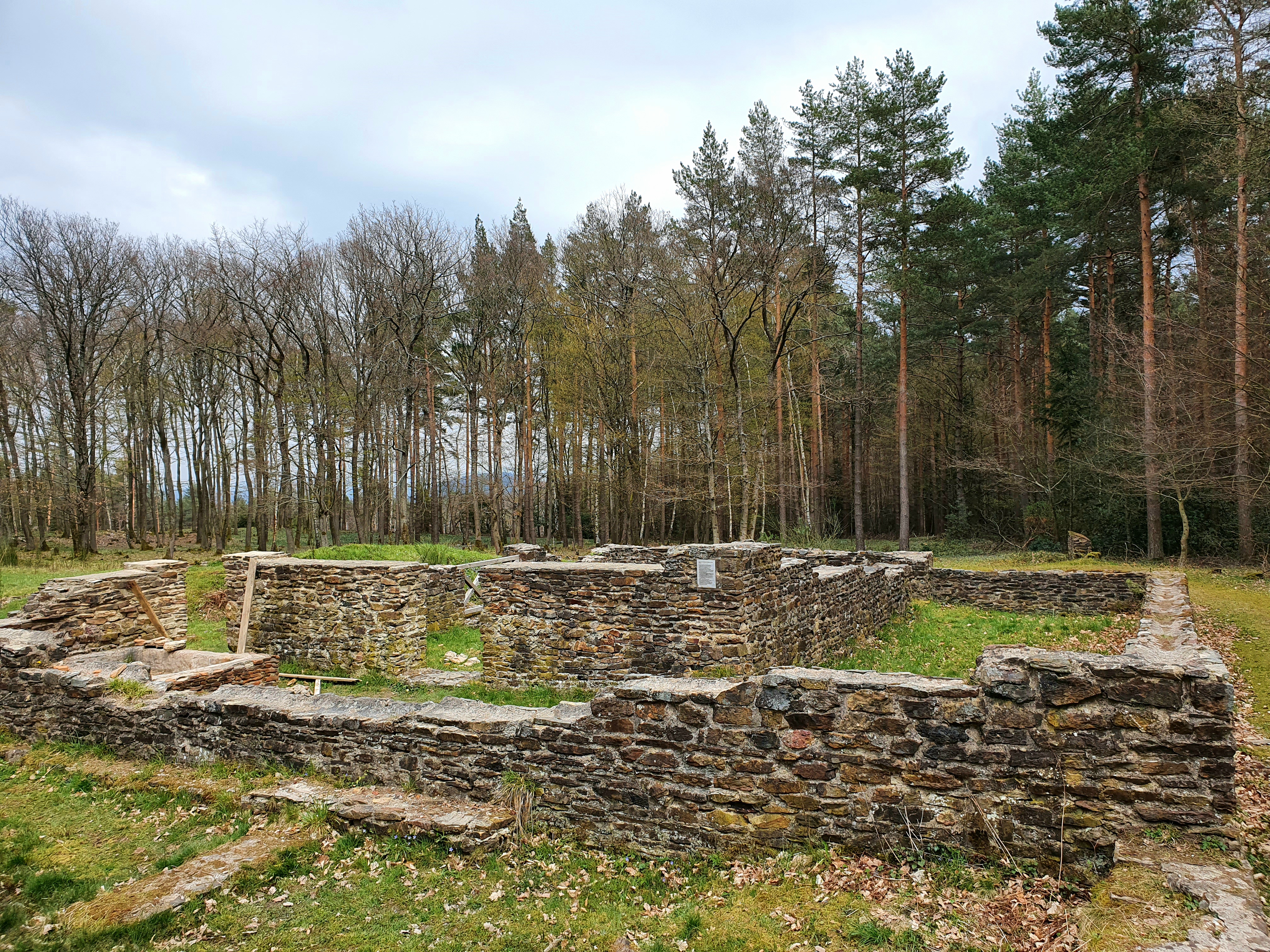
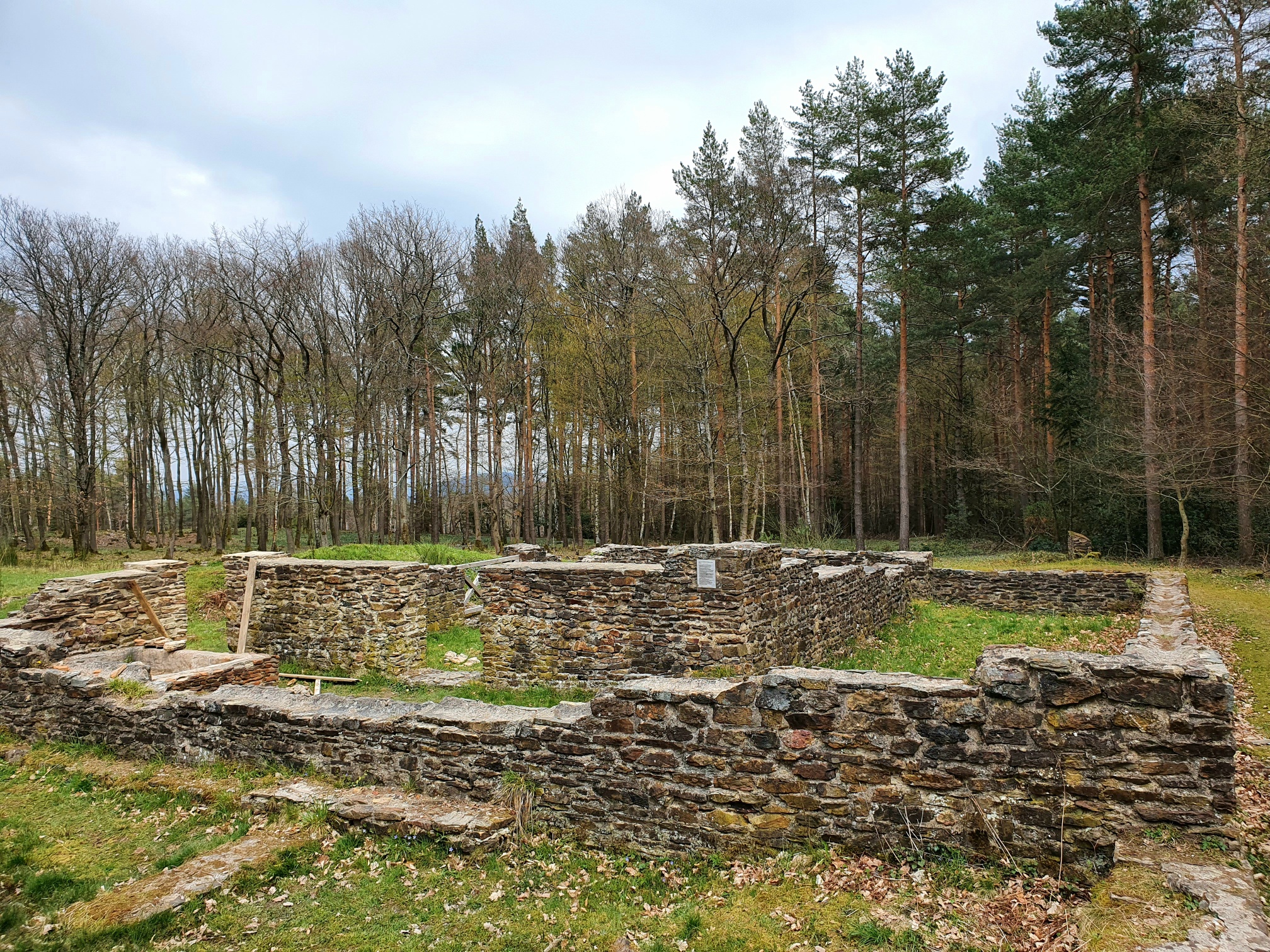
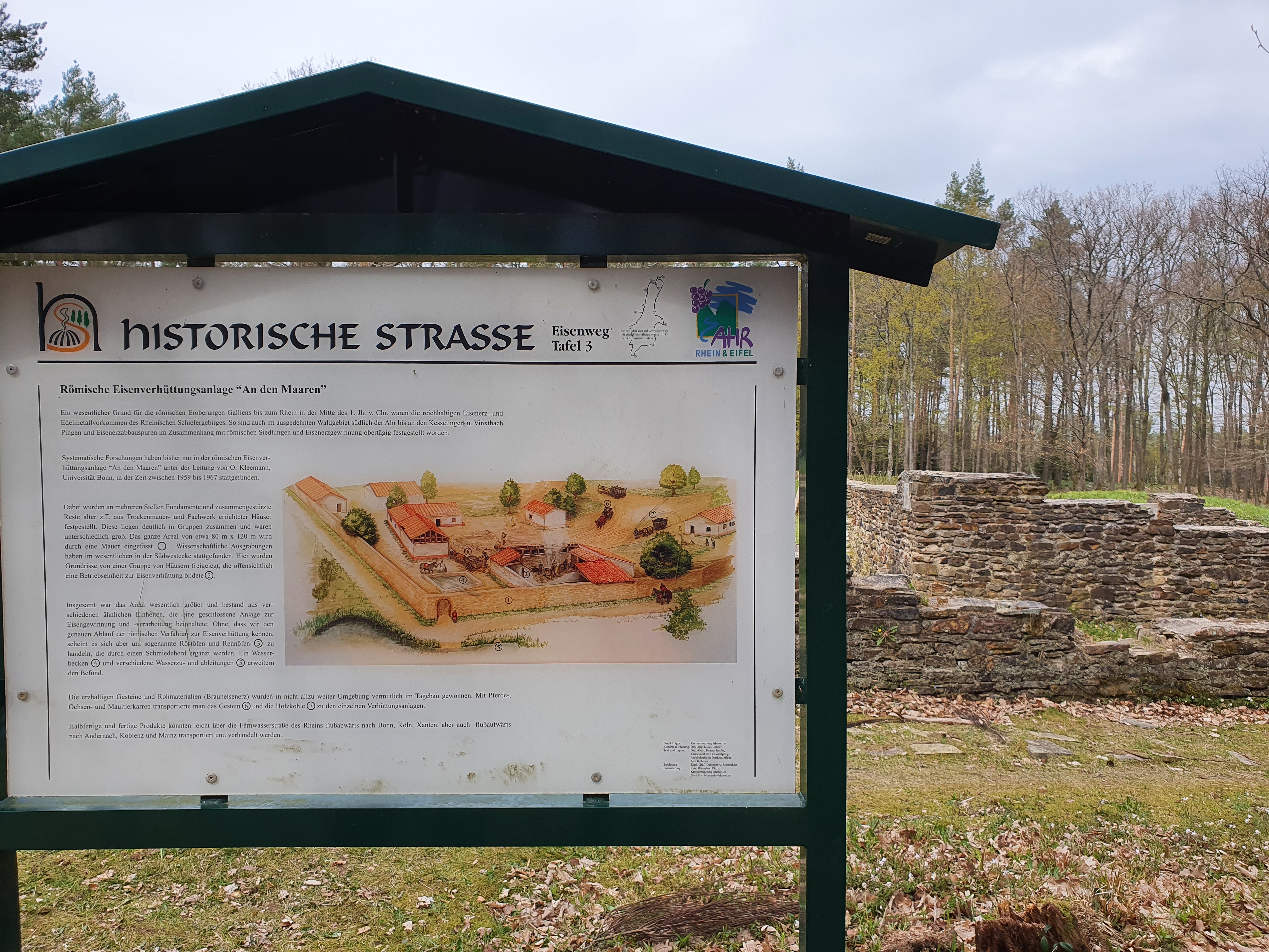
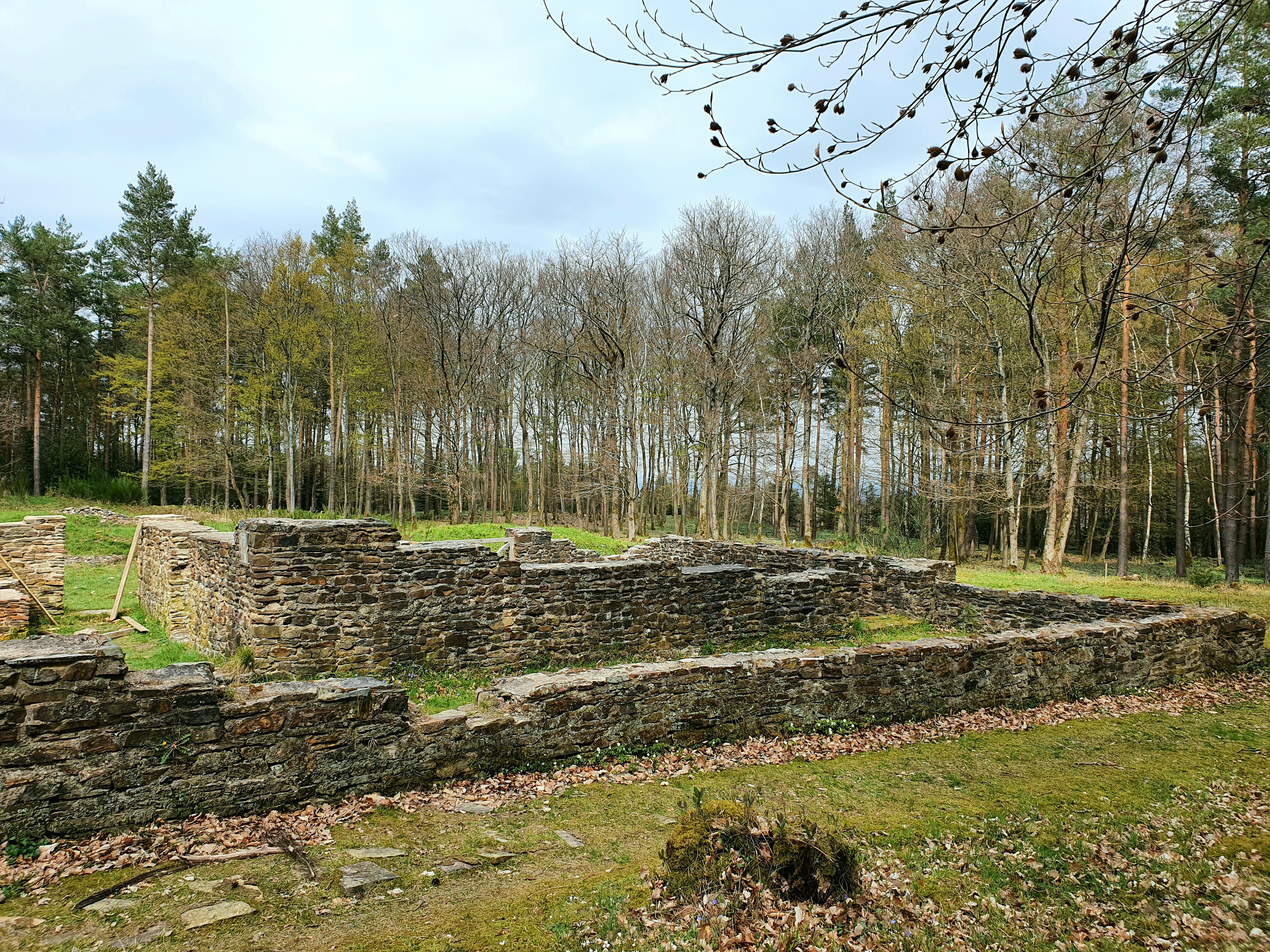
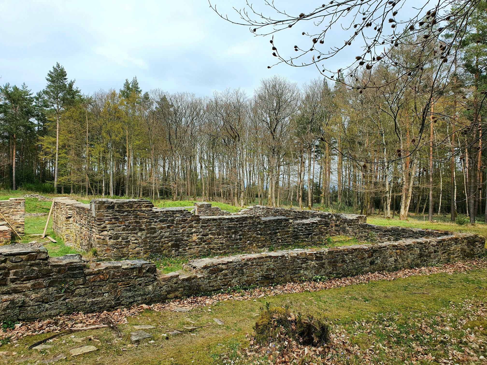
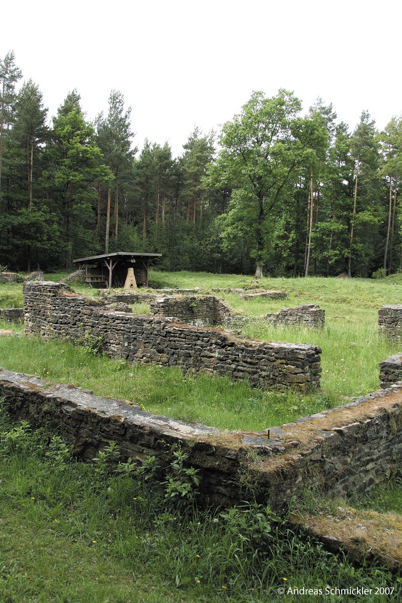
At the next crossroads, the trail marking A7 points right. After a few meters, the forest to our right clears, and the remains of an almost 2,000-year-old industrial settlement lie before us. An information board first explains the ecological significance of the excavation site: numerous amphibians such as frogs and newts, as well as rare plants and insects, find their habitat in the pools and in their shore area at the edge of the excavation field.
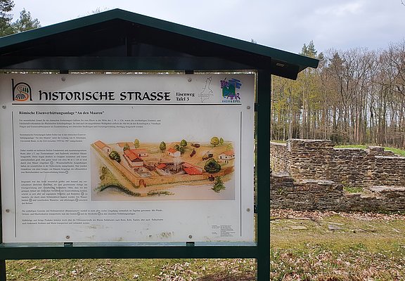
Another board shows us how to imagine the original environment of the wall remains. We learn that, among other things, it was the rich iron ore deposits that prompted the Romans to settle here in the 1st century B.C. The buildings erected here demonstrate advanced construction skills. Overall, the facility was probably larger in ancient times than the remains exposed today.
The iron ore processed here came from various spots in the surrounding area, where it was mined in open-cast mining. For further processing, it was placed in baskets and transported by horse or mule to the smelting site. The actual process of making iron bars was carried out using so-called blast furnaces.
After having thoroughly viewed the excavation site, we continue our hike. After a few meters, we turn left at the crossroads with the old basalt cross. Shortly after, we come across a wider cross path, which we follow to the left. From afar, the next information board on the forest clearing to the left of the path can be seen (Board 5 "Breiter Kopf"). In the soil exposure in the embankment, our youngest hikers in particular can act as "iron seekers."
The yellowish rock just below the topsoil of the forest floor is streaked with reddish to dark brown discolorations, sometimes as veins, sometimes as layers, clearly visible. We have discovered iron-rich rock (brown ironstone), which was formed over 250 million years ago. The board explains the geological events that led to this. We also now have an explanation for the numerous trenches, funnels (pits), and earth mounds in the forest along our path.
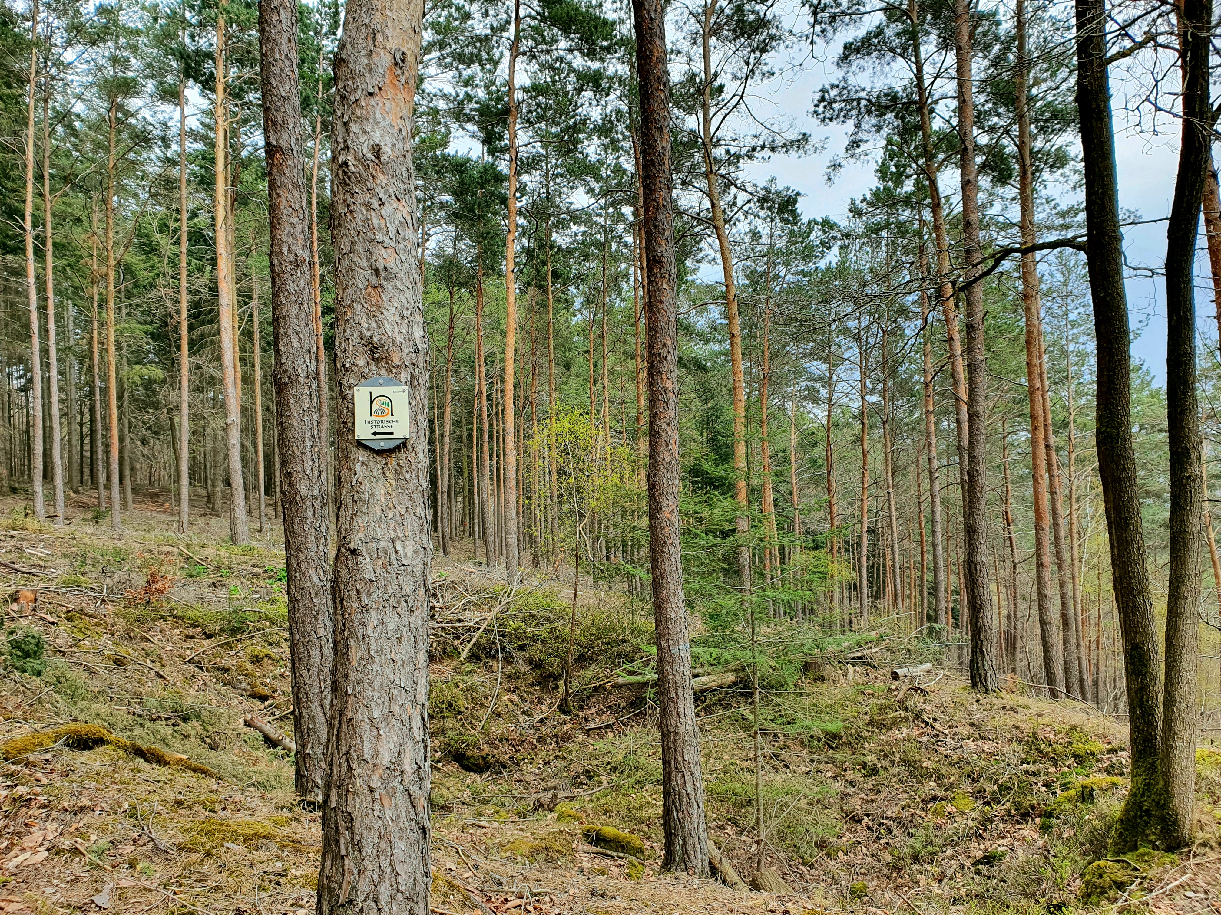
With a small rusty-red souvenir in our pocket, we continue on the historic Eisenweg shortly afterwards. Also interesting is the forest on both sides of our path, which obviously acts like a dam. On the left, we recognize by the typical sedges that rainwater can only poorly drain here (waterlogging). To the right of the path, the ground vegetation shows a completely different picture. Clematis and blackberry bushes thrive lavishly among the pine trunks.
At the next junction by the two boulders, the path continues straight uphill. Here, too, the traces of ancient miners are unmistakable. If we remove the trees and ground vegetation in our mind, we can imagine the once "moon landscape" that existed here at the time of the ore seekers. Environmental protection did not exist back then, and the demand for raw materials for the ironworks was enormous. Shortly after, we reach the shelter "Alte Mauer."
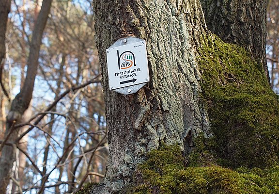
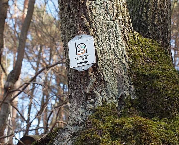
From here, we go downhill to the car park at "Waldwinkel." At the old stone cross, we follow the signposted "Historic Road" to the right. At the forester's house with the stag antlers on the gable, the path leads back into the forest. Shortly after, it goes left. The path leads us back onto open fields, and after we have passed the height before us, Ramersbach lies before us.
A quarter of an hour later, we reach the first houses. Then, at the height of a small chapel, we come to the Ramersbach - Ahrbrück road, which we follow to the left towards the village center. At the junction of this road with the main road, we turn right. Past the church and the small, tree-shaded village square and the "corner shop," we walk up to the old school, where we carefully cross the road and shortly after reach the courtyard of the guesthouse "Halfenhof" by following the signs along the forest road.
In the Middle Ages, farmers who had to pay half of their yield as rent to the local lord were called "Halfer." The quaint property makes an inviting impression. We enter the rustic Halfenstube. Numerous photos, complemented by models in glass display cases and various objects, document the daily work of the charcoal burners who produced charcoal in this area until the 20th century. After an excellent meal, rounded off with a classic Ahr red wine, we continue our hike. Following the signs, we leave the village towards the Florianshütte at the forest edge and then continue down to the right into the valley.
We follow the hiking trail to a prominent fork in the path. We follow the right path for a few meters to a widely visible information board. We learn that at this site during Roman times there was a stately manor. However, only a little remains. A few wall remains, broken pieces of bricks, nothing more. Back on the trail, we continue downstream until we reach the bed of the Bachemer Bach, which we cross.
On the opposite slope, we go half-right uphill to the road. We follow it a few meters to the left until the next trail marker directs us right onto a forest path. Along the way, we can collect rocks showing traces of red iron everywhere. Then the path forks. We keep left, following the markers, and shortly after, via the partly already known path, return to the starting point of our hike.
Source: General-Anzeiger Bonn
www.ga-bonn.de
When forest workers came across strange mounds in the Ahrweiler Stadtwald forest in the 1950s, they suspected that something very special was hidden here. They reported their discovery and a short time later, archaeologists from the University of Bonn began excavation work. It soon became apparent that there had been a large iron ore processing plant on this site in ancient times.
From then on, the hiking maps labelled this site as a "Roman settlement" or "burial ground". Hardly any hikers noticed. It was only more than fifty years later that those responsible at the Ahrweiler district administration and the Bad Neuenahr-Ahrweiler town council remembered the historical treasure in the town forest.The "Iron Trail", which aims to combine history, ecology and tourism, has officially been in existence since the beginning of May 2001. This is a remarkable step in the right direction for hikers who enjoy nature (experiences).
We start our hike at the "Alte Mauer" hikers' car park on Ramersbacher Straße between Ahrweiler and the village of Ramersbach (Eifel-Ardennen-Straße). An information board provides valuable background information. (Please note that the hikers' car park is currently closed. Alternatively, you can start from the hiking car park at "Waldwinkel" or from Ramersbach).
After around 300 metres, follow the signs for the A7 on the left. A short time later, a sign points out the burial ground of the Roman iron smelter to the left of the path. A few wall remains of rectangular foundations and brick fragments prove that people buried their dead in various ways between the pine trunks and brambles a long time ago.
At the next crossroads, the trail marker A7 points to the right. After a few metres, the forest to our right thins out and the remains of an almost 2000-year-old industrial settlement lie before us. A signpost explains the ecological significance of the excavation site: Numerous amphibians such as frogs and newts, as well as rare plants and insects, find their habitat in the ponds and their banks at the edge of the excavation site.
Another panel shows how we can imagine the original environment of the wall remains. We learn that it was the rich deposits of iron ore, among other things, that prompted the Romans to settle here in the 1st century BC. The buildings that were erected here are evidence of advanced architecture. Overall, the complex was probably larger in antiquity than the remains of the walls uncovered today.
The iron ore that was processed here came from various locations in the surrounding area, where it was extracted from open-cast mines. For further processing, it was filled into baskets and transported to the smelting plant on horseback or by mule. The actual process of producing iron ingots was carried out using so-called racing furnaces.
After taking a closer look at the excavation site, we continue our walk. After a few metres, we turn left at the crossroads with the old basalt cross. A short time later, we come to a wider crossroads, which we follow to the left. The next information board can be recognised from afar in the forest clearing to the left of the path (board 5 "Breiter Kopf"). In the soil outcrop in the embankment, our youngest fellow hikers in particular can try their hand at "iron hunting".
The yellowish rock just below the top layer of the forest floor is interspersed with reddish to black-brown discolourations, which are sometimes clearly visible as veins, sometimes as layers. We have discovered ferrous rock (brown ironstone). It was formed over 250 million years ago. The plaque explains the geological events that led to this. We now also have an explanation for the numerous ditches, sinkholes and mounds in the forest along our path.
With a small rust-red souvenir in our trouser pocket, we hike on along the historic iron trail a little later. The forest on either side of our path is also interesting, obviously acting like a dam. On the left, we can see from the typical sour grasses (sedges) that rainwater can only drain away poorly here (waterlogging). To the right of the path, the ground vegetation presents a completely different picture. Honeysuckle and blackberry bushes thrive lushly between the pine trunks.
At the next crossroads near the two boulders, the trail continues straight uphill. Here, too, the traces of the early miners are unmistakable. If we remove the trees and ground vegetation, we can imagine the "lunar landscape" that once existed here at the time of the ore miners. There was no environmental protection back then and the demand for raw materials for the ironworks was enormous. A short time later, we reach the "Alte Mauer" refuge.
From here, the trail descends to the car park at the "Waldwinkel". At the old stone cross, follow the "Historische Straße" signs to the right. At the forester's lodge with the stag's antlers on the gable, we enter the forest again. A short time later, we turn left. The path leads us back onto open fields and once we have crossed the height in front of us, Ramersbach lies ahead of us.
A quarter of an hour later, we reach the first houses. Then, at the height of a small chapel, we come to the Ramersbach - Ahrbrück road, which we follow to the left towards the centre of the village. At the junction of this road with the main road, we turn right. We walk past the church, the small village square shaded by trees and the "Tante Emma" shop until we reach the old school, where we carefully cross the road and follow the signs along the forest road to the courtyard of the "Halfenhof" inn.
In the Middle Ages, farmers who had to pay half of their earnings as rent to the lord of the manor were called "Halfen". The smart property makes a welcoming impression. We enter the rustic Halfenstube. Numerous photos, supplemented by models in glass cabinets and all kinds of objects, document the everyday working life of the charcoal burners who produced charcoal in this area until the 20th century. After a delicious meal, rounded off with a classic Ahr red wine, we continue our hike. Follow the signs out of the village to the Florianshütte hut on the edge of the forest and continue down to the right into the valley.
We follow the hiking trail to a prominent fork in the path. Follow the path on the right for a few metres until you reach the information board, which is clearly visible from afar. We learn that there was a stately manor house on this site in Roman times. However, very little remains. A few remains of walls, fragments of bricks, nothing more. Back on the hiking trail, we continue down the valley until we reach the bottom of the Bachem stream, which we cross.
On the opposite slope, the path continues half right up to the road. We follow this road just a few metres to the left until we reach the next signpost, which leads us to the right onto a forest path. At the edge of the path, we can collect boulders with traces of red iron everywhere. The path then forks. We keep to the left and, following the markings, return to the starting point of our hike a little later via the path we already know in places.
www.ga-bonn.de
- ZG Vielseitig Aktive (L)
- ZG Aktive Naturgenießer (L)
- ZG Kultur- und Landschaftsliebhaber (L)
- ZG Nur Wanderer (L)
- ZG Städte-Genießer (L)
- Round trip
- Family friendly
- Culture highlight
- Botanical highlights
- Geological highlights
- Refreshment stop
- Hiking
- Back for you

source
Ahrtal-Tourismus Bad Neuenahr-Ahrweiler e.V.
·
Author:
Elisabeth Prange















Contact us
Ahrtal-Tourismus Bad Neuenahr-Ahrweiler e.V.
Oberstr. 8
53474 Bad Neuenahr-Ahrweiler
Tel.: 02641 / 9171-0
info@ahrtal.de

