 EN
EN

Fernwanderweg
AhrSteig Stage 4: Insul - Kreuzberg (17.4 km)
Insul - Sierscheid - Dümpelhardt - Liers - Linder Höhe - Kreuzberg
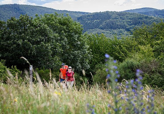
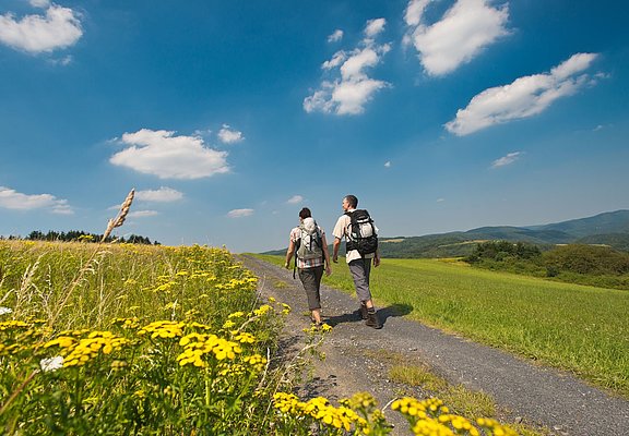
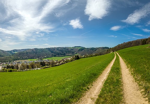
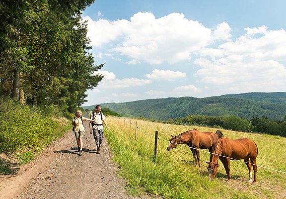
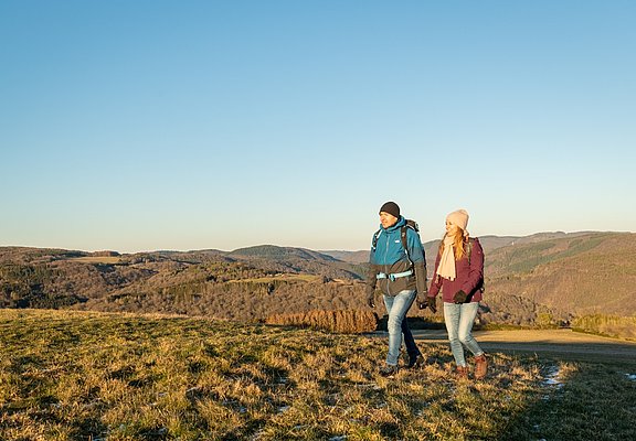
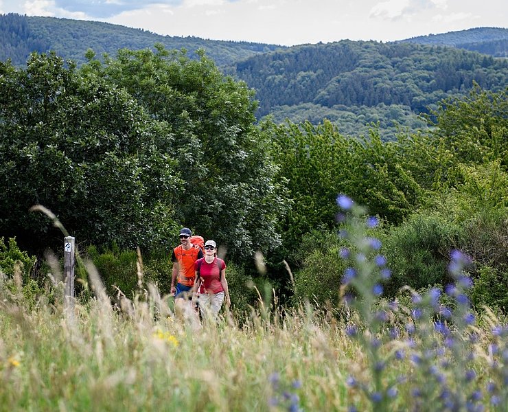
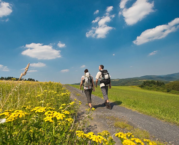
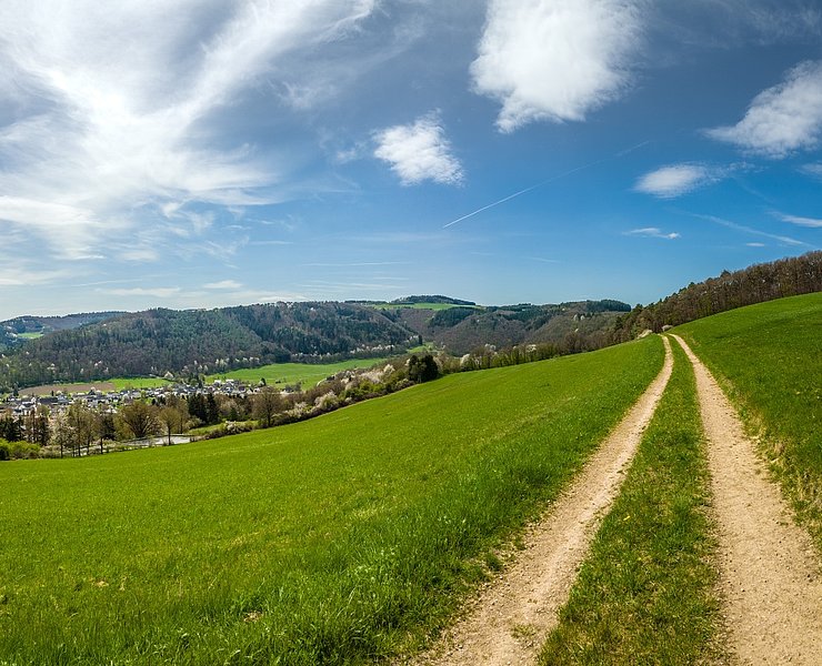
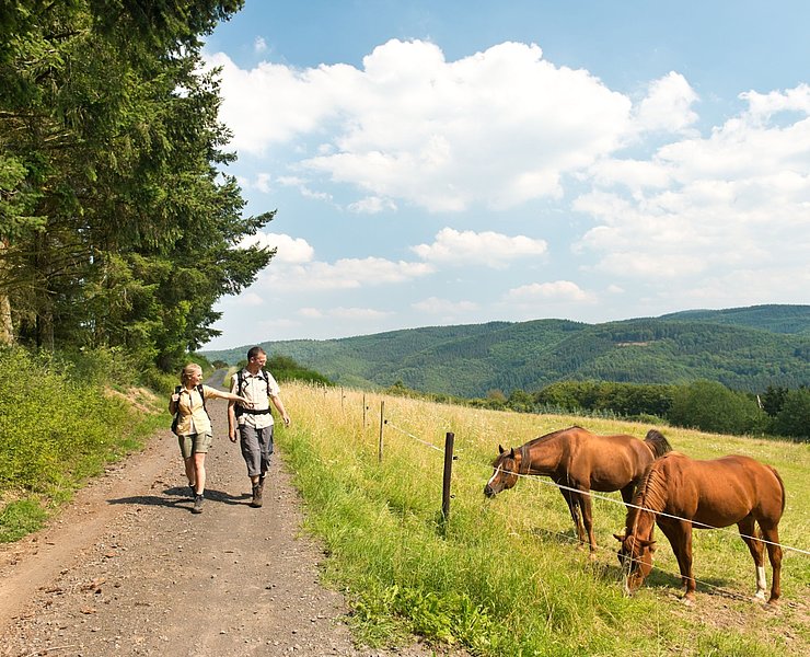
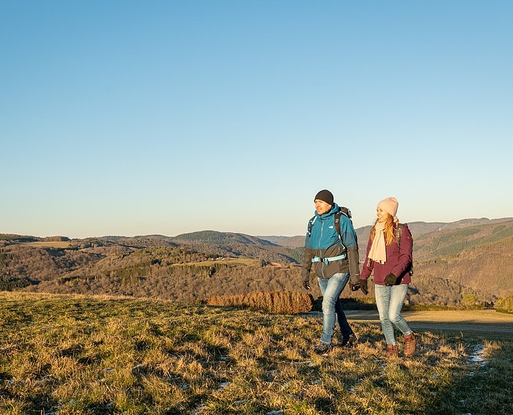
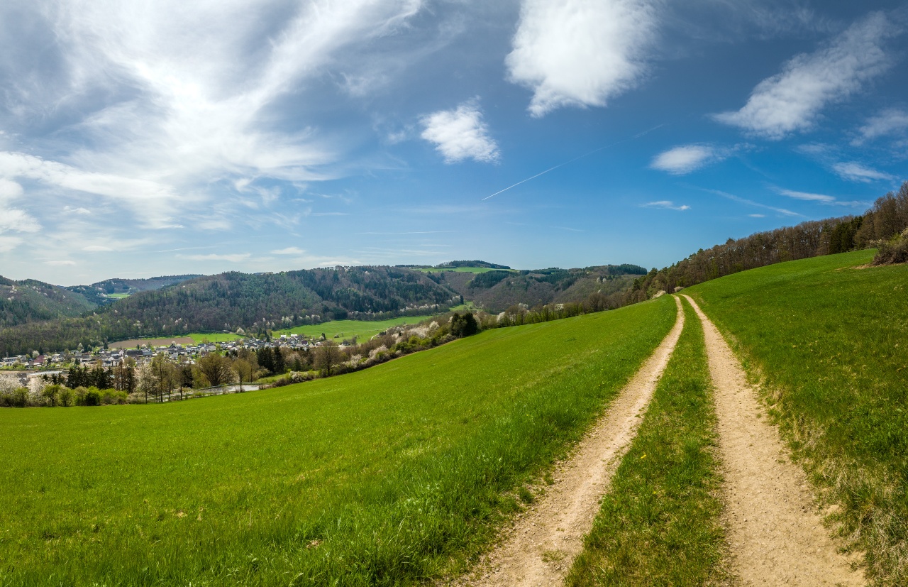
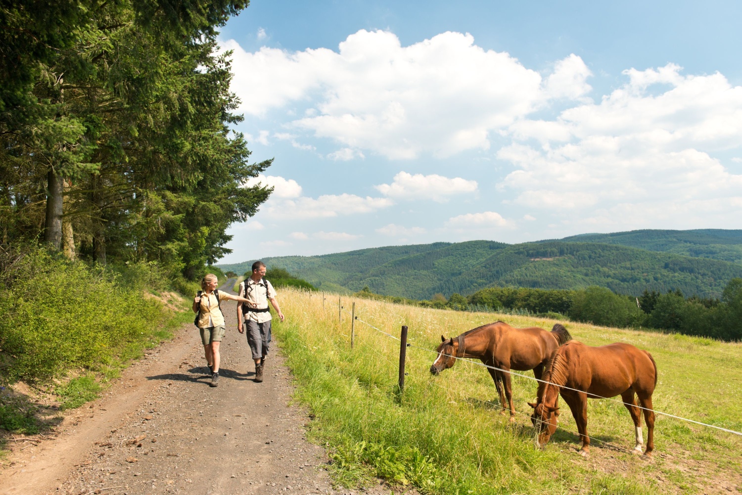
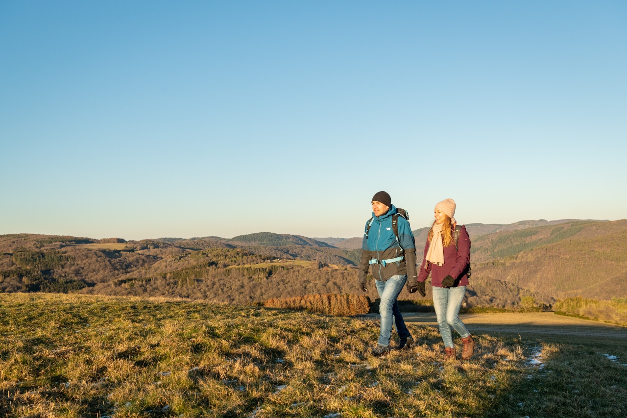
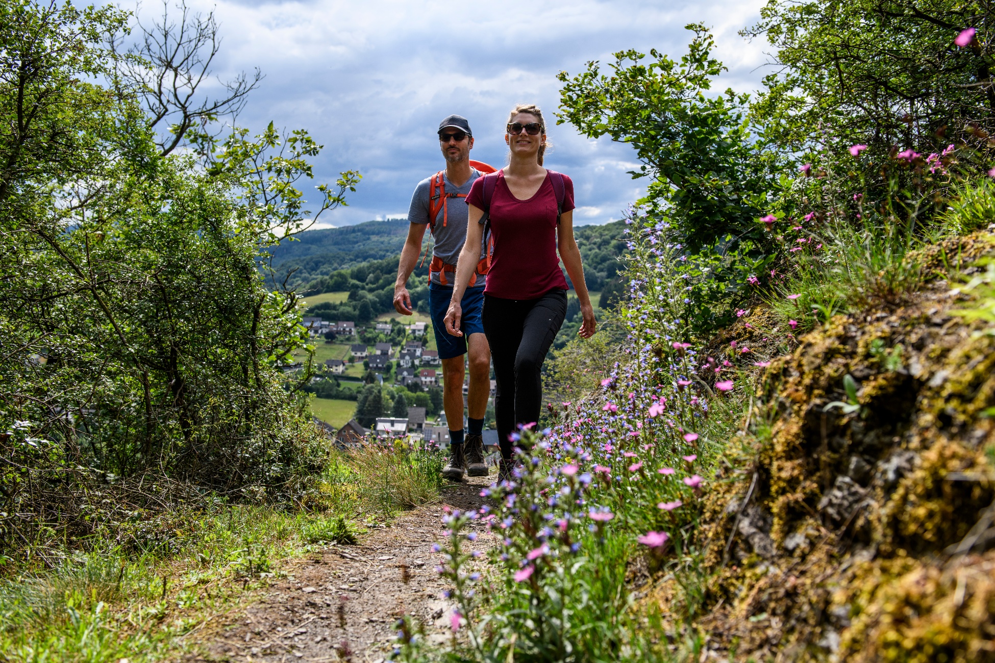
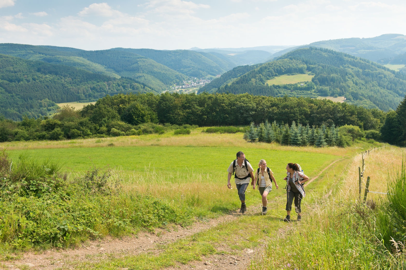
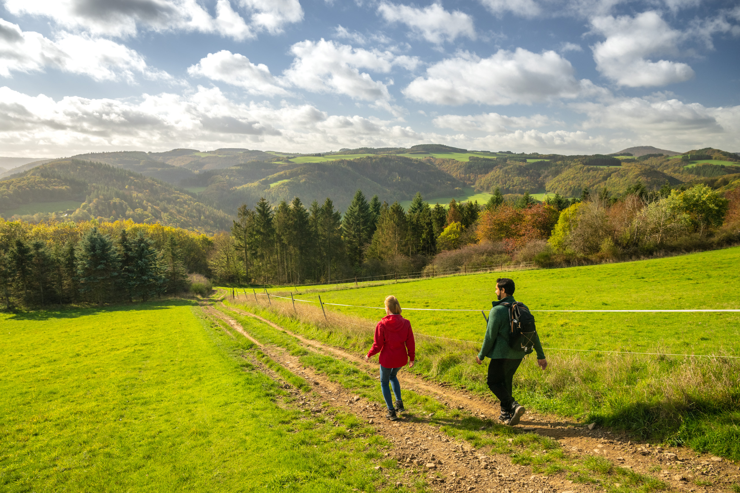
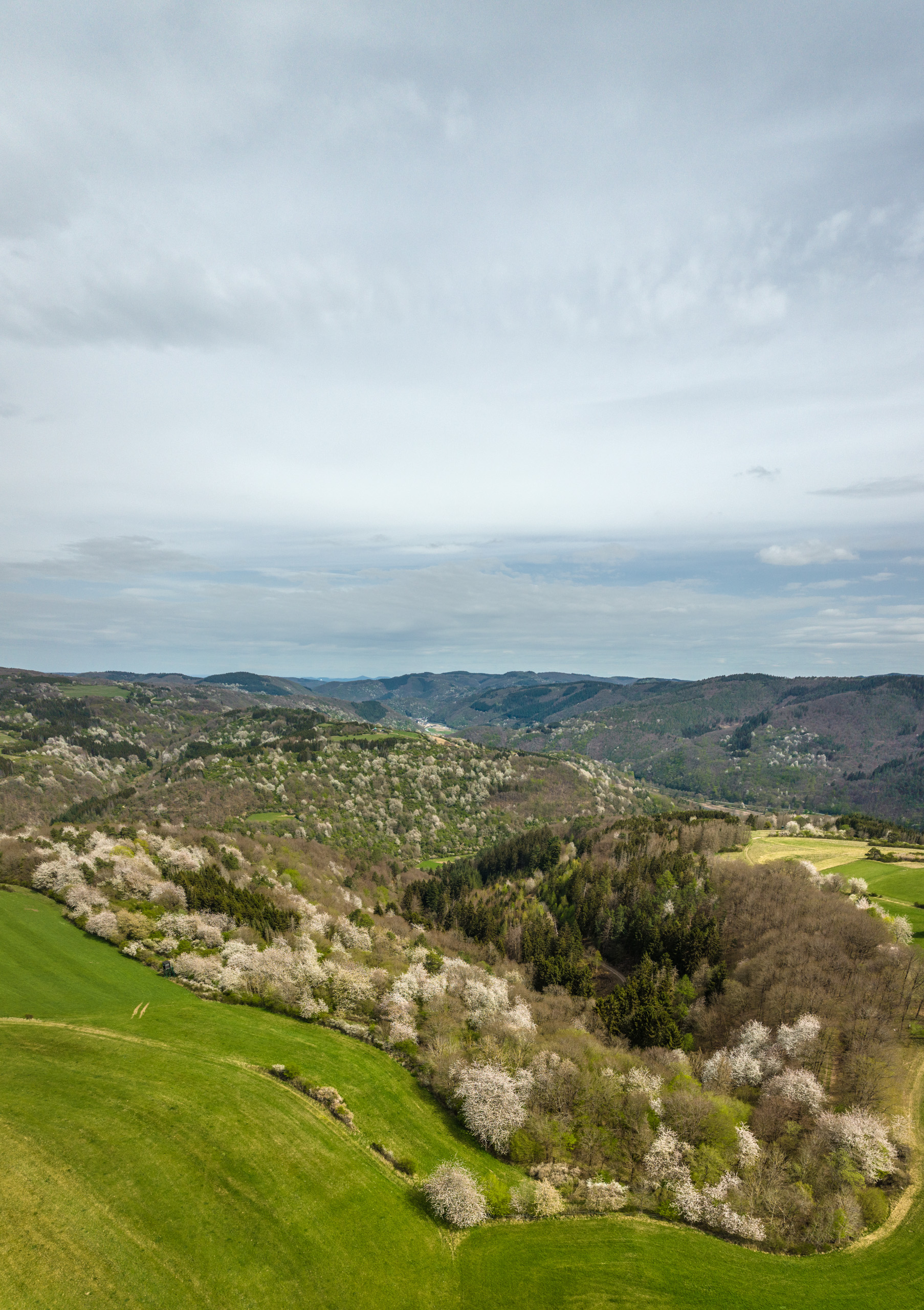
Through shady floodplain forests, you hike to Sierscheid. Up towards the Dümpelhardt you pass barren heath areas. The ridge offers fantastic views. Away from any development, it continues through meadows and forests into the Liersbach valley, steeply uphill to the Hönningen high plateau and through small woodland sections to the 487-meter-high Linder Höhe. The panoramic view compensates for the ups and downs. Slightly below the elevation is the impressive Krippenkapelle. Over moss-covered forest paths through open mixed forests, it goes down to the Ahr valley - here begins the Ahr wine-growing region. The stage ends at the station in the Kreuzberg district.
Insul - Sierscheid - Dümpelhardt - Liers - Linder Höhe - Kreuzberg
Through shady alluvial forests you hike to Sierscheid. Up to Dümpelhardt you pass barren heathland. The ridge offers fantastic views. Far away from any buildings, the route continues through meadows and forests into the Liersbach valley, steeply uphill to the Hönninger plateau and through small wooded areas to the 487-metre-high Linder Höhe. The panoramic view makes up for the ups and downs. Just below the hill is the impressive Crib Chapel. Over moss-covered forest paths through sparse mixed woodland, the route descends into the Ahr valley - this is where the Ahr wine-growing region begins. The stage ends at the railway station in the Kreuzberg district.
Insul - Hahnensteiner Mill - Sierscheid - Dümpelhardt - Liersbach valley - Linder Höhe - Krippenkapelle - Kreuzberg / Altenahr
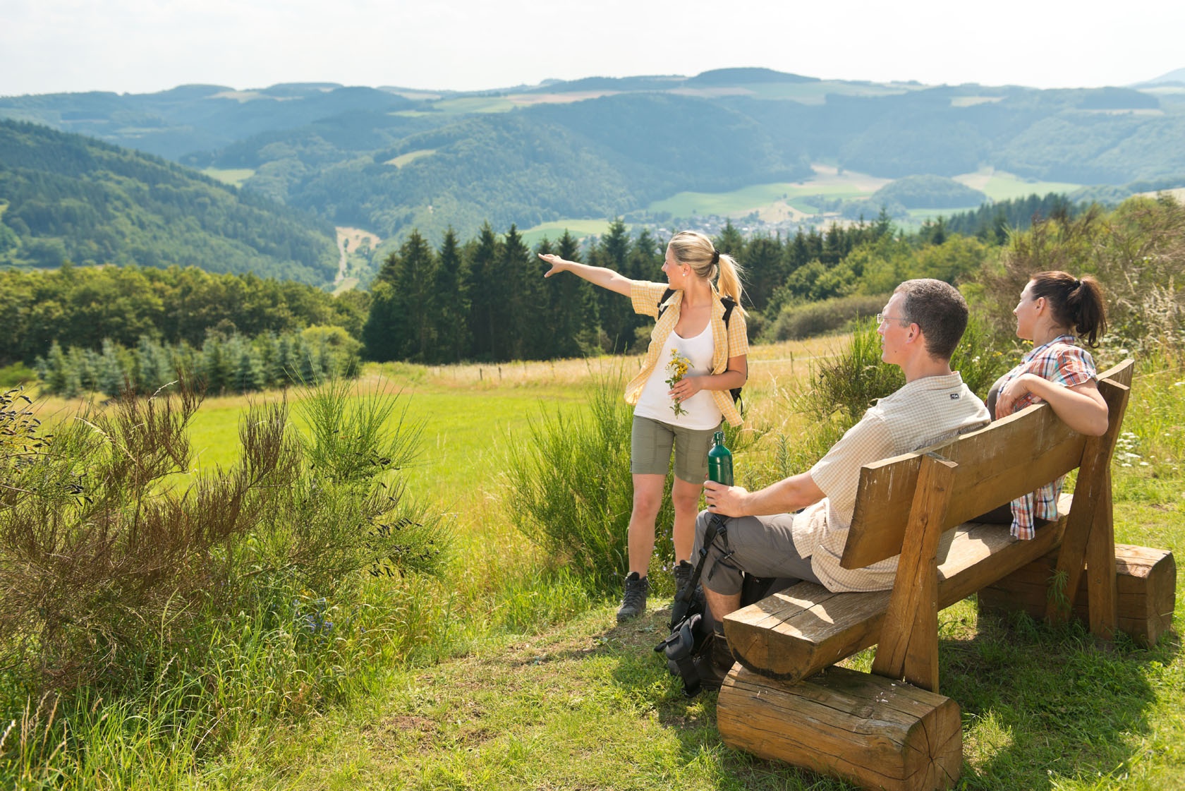
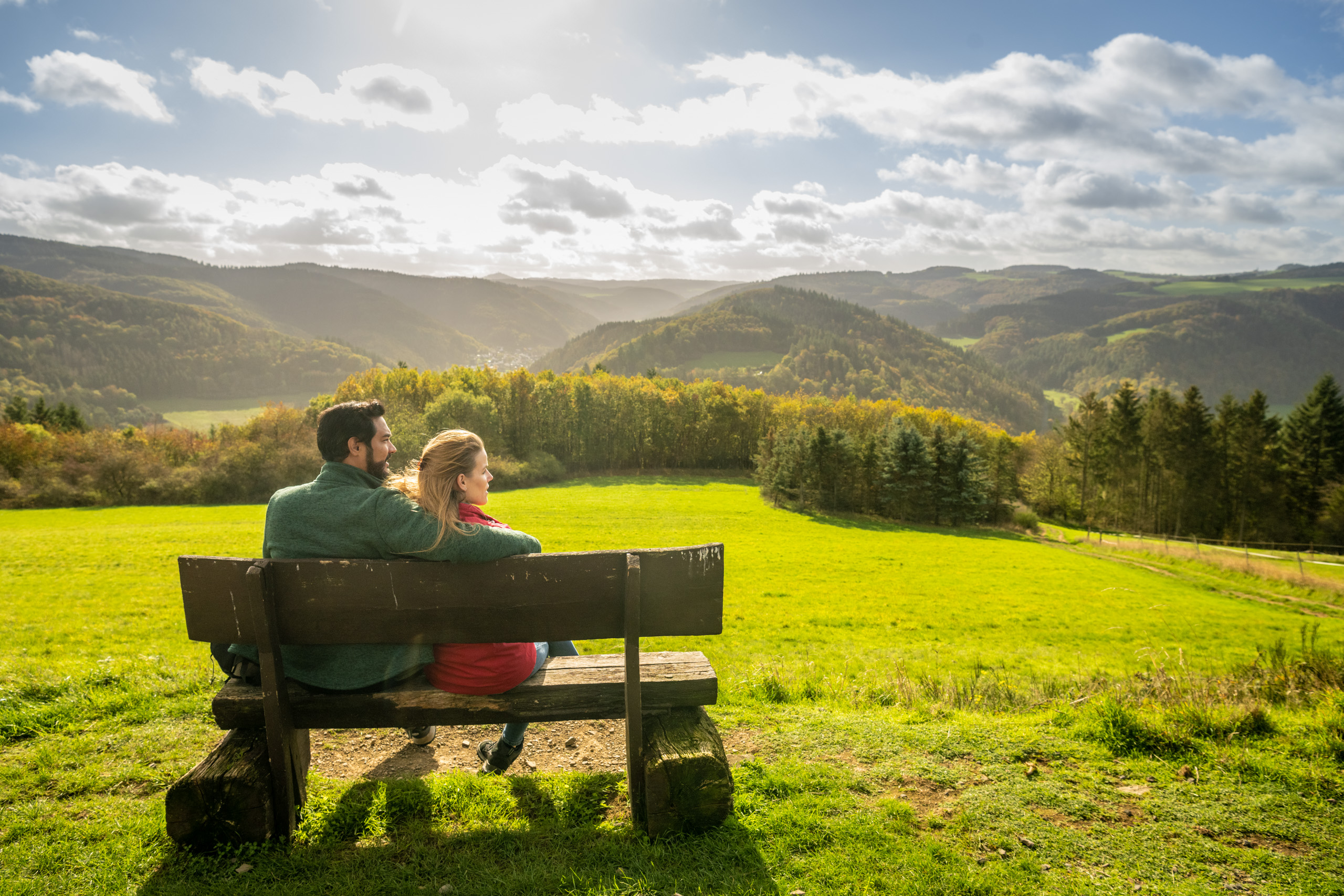
From Insul, it goes steadily uphill through shady forest to Sierscheid. Here we only briefly touch the edge of the village before the trail sign leads us out onto the open plateau of Dümpelhardt. The plateau is an Eldorado for model airplane builders who put their self-built gliders and motor planes through a tough test up here. Our hiking heart, however, is thrilled by the legendary panoramic view, one of the most spectacular on the entire AhrSteig. It is hard to tear ourselves away. Over meadows and forest paths, it goes down into the Liersbach valley. From here across the K 28 road and then in a long but not too steep ascent to the plateau „Ober Hockertskreuz“ in the Hönningen area. Past meadows and wooded areas, after another ascent, we reach the elevated village of Lind. Again, we are surprised by a panorama that reveals to us the entire beauty of the Ahr mountains. The view extends far beyond the Ahr heights. A little insider tip: Those who want to explore this panoramic view more extensively should take a closer look at the panorama circular route around Lind. Benches at the Krippenkapelle in Lind invite you to linger - a chance to enjoy the wide view in peace. At the descent, we briefly touch the connecting road to Ahrbrück. Immediately, it goes again in a slight ascent into the forest. Below the wooded summit of Kotzberg, a long descent leads over partly adventurous paths down to the friendly little village of Kreuzberg. Above the village towers Kreuzberg Castle on a rock spur, which is the only inhabited castle in the Ahr valley in private ownership.
The route is marked in both directions with the blue AhrSteig trail logo.
Insul - Hahnensteiner Mühle - Sierscheid - Dümpelhardt - Liersbachtal - Linder Höhe - Krippenkapelle - Kreuzberg / Altenahr
From Insul, the route climbs steadily through shady forest up to Sierscheid. Here we only briefly touch the edge of the village before the signpost leads us out onto the open plateau of Dümpelhardt. The plateau is an Eldorado for model aeroplane builders, who put their self-built gliders and motorised planes through their paces up here. Our hiker's heart, on the other hand, is thrilled by the fabulous panoramic view, one of the most spectacular on the entire Ahrsteig. We find it hard to tear ourselves away. We descend into the Liersbach valley along meadow and forest paths. Here we cross the K 28 and then make a long, but not too steep ascent to the "Ober Hockertskreuz" plateau in the district of Hönningen. Passing meadows and woodland, we reach the hilltop village of Lind after a further ascent. Once again, we are surprised by a panorama that reveals the full beauty of the Ahrgebirge. The view extends far beyond the Ahr heights. A little insider tip: if you would like to explore this panoramic view more extensively, you should take a closer look at the panoramic circular route from Lind. The benches at the Lind chapel invite you to linger and enjoy the panoramic view in peace. On the descent, we briefly touch the connecting road to Ahrbrück. However, the route then climbs gently into the forest again. Below the wooded hilltop of the Kotzberg, a long descent leads along sometimes adventurous paths down to the friendly village of Kreuzberg. Kreuzberg Castle, which is the only inhabited castle in the Ahr valley and is privately owned, towers above the village on a rocky spur.
The route is marked in both directions with the blue AhrSteig trail logo.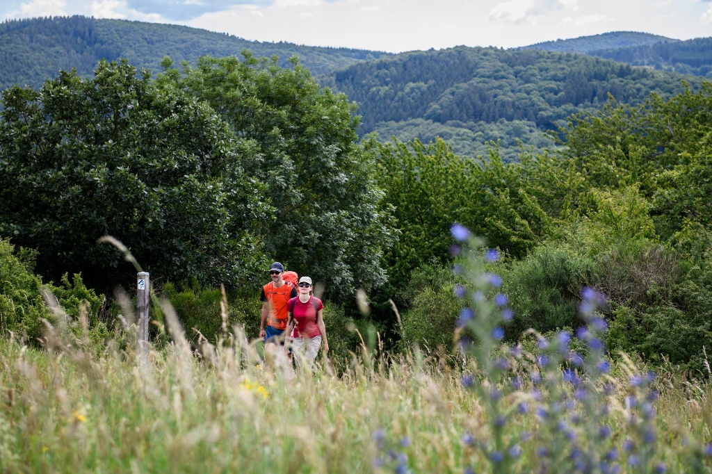
- ZG Vielseitig Aktive (L)
- ZG Aktive Naturgenießer (L)
- ZG Kultur- und Landschaftsliebhaber (L)
- ZG Nur Wanderer (L)
- ZG Städte-Genießer (L)
- Long-distance hiking trail
- Culture highlight
- Botanical highlights
- promising
- Hiking
- Back for you

source
Ahrtal-Tourismus Bad Neuenahr-Ahrweiler e.V.
·
Author:
Hans-Joachim Schneider















Contact us
Ahrtal-Tourismus Bad Neuenahr-Ahrweiler e.V.
Oberstr. 8
53474 Bad Neuenahr-Ahrweiler
Tel.: 02641 / 9171-0
info@ahrtal.de

