 EN
EN

Tour
Remagen - Geological Hike 3 (Ice)
The entire route of the third geological hike around Remagen is about 12 km. Along the way, there are several stops where we pause to enjoy the geological formations and the beauties of the Rhine Valley, the Eifel, and the Westerwald.
WARNING: The hiking trail is currently not yet signed! Please use the Outdooractive app to display the exact route.
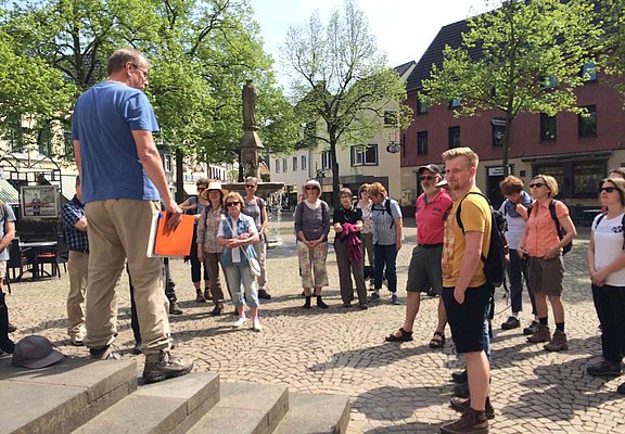
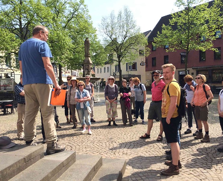
We start the hike in Remagen at the tourist information on the market square. Passing the Marienbrunnen, we go down Pintgasse to the Rhine and then upstream to the Remagen bridge. A few meters further, we view the Erpeler Ley from the ramp and discuss basic knowledge of the geology of the Earth.
Geology is the study of our Earth. Geologists are concerned, among other things, with the structure of the Earth, its history of development, and not least with the processes that shaped the Earth in the past and still do today.
According to current research, the age of the universe is 13.7 billion years, and that of the Earth is 4.6 billion years. The 4.6 billion years of Earth's history are divided using Greek terms into four geological eons: the first, the Hadean (Hades = underworld), lasting 1.2 billion years; the second, the Archean (archaic = ancient), lasting 1.3 billion years; the third, the Proterozoic (proteros = early), lasting about 2 billion years; and the youngest, now 540 million years old, the Phanerozoic (phanero = visible). The term “visible” indicates that humans today can only see geological evidence from this period on the Earth's surface.
When we look at the landscape forms around Remagen today—those of the Rhine Valley, the Eifel, and the Westerwald—we see shapes that were essentially formed within the last 2.6 million years, the current Quaternary Ice Age, and also with respect to volcanism from the past 40 million years. Because the Rhine and its tributaries have deeply incised into the Earth's surface and recently humans have blasted traffic routes into the mountain slopes or carried out mining, we also see rocks from much earlier times up to the Devonian period about 400 million years ago.
Now we go about 100 m up a road perpendicular to the Rhine and turn left in a southeast direction into Simrockstraße. We follow agricultural roads towards Kripp.
- Geological Highlight A
Along the way, we see several "Rhine terraces" at different elevation levels. About 1.7 million years ago, the uplift of the Rhenish Massif began, reaching about 250 m today, including 190 m of uplift in the last 700,000 years alone. The Rhine was able to cut deeply at this location due to a deep-reaching fault in the Earth's interior. The terraces in the Rhine Valley result from erosion and many minor ice ages. During thaw periods, large amounts of water flowed carrying gravel and rubble that both eroded the underlying rock and were deposited as terraces. The so-called main terrace, on which the Ur-Rhine flowed, lies about 150 m above today's Rhine. Especially in Remagen, the middle terraces, lower terraces, and river terraces beneath the main terrace are quite well developed, partly due to the wider Rhine Valley here. Areas flooded only in high water belong to the island terrace. Geologists disagree whether the 'Golden Mile' is the result of erosion by the Rhine and Ahr rivers or a collapse similar to the Neuwied Basin. In both cases, stresses and faults in the Earth's crust are the cause. The outlying slopes of Reisberg, such as Schwalbenberg, belong to the middle terrace, as does Apollinarisberg.
Continuing, we pass under the railway line and B9 at the level of the nearby Ahr River, which during the 2021 millennial flood also flowed through the underpasses and the adjacent commercial and residential area. Shortly thereafter, we leave the level of the Ahr and go about 20 m uphill to the next higher Ahr terrace.
- Geological Highlight B
The terraces at the Ahr are much less pronounced than those of the Rhine, the largest outflow in our region. Here, we stand on the upper edge of a young Ahr terrace from the last Ice Age, about 4 m high here. Its course is clearly visible, including the partly still existing water ditches that were dug to operate mills. We are at one such mill, the old Sinzig mill.
On the connecting road Sinzig-Remagen, we go through the railway underpass and immediately behind it turn left onto a railway-side path to the loess wall clearly visible on the right at the foot of the slope.
- Geological Highlight C
Looking at the entire Earth's history, warm periods with average annual temperatures of 20°C and above clearly prevail. Only in one or two tenths of Earth's history were the poles ice-covered. These times are called ice ages. Periodically, ice ages lasting up to 300 million years occurred throughout geological history. We have been in an ice age for 2.6 million years, the Quaternary period. Within the ice age, there are recurring warm and cold periods lasting 10,000 to 100,000 years. Since the last cold period (Würm/Weichsel Ice Age), during which about 32% of the Earth's surface was ice-covered and sea levels were 120 m lower, we have been in a warm period for about 10,000 years, during which only 10% of the Earth's surface is ice-covered. Geologically, this warm period should be ending unless humans, who influence the climate for the first time in Earth's history, cause unnatural warming.
Linked with climate fluctuations, there were times of very sparse vegetation during which wind erosion led to strong displacements of loose material. High loess deposits accumulated in front of and behind topographic elevations, such as here near Schwalbenberg. The loess wall over 10 m high at Schwalbenberg is unfortunately not accessible, so we must make do with this about 5 m high wall. At the lower edge, we find several adits that in earlier times were used either as hiding places or well-cooled storage chambers. The individual loess layers, deposited over many millennia, are quite visible. Deposits of larger flints can also be seen, indicating run-ups of the Ahr or major floods after heavy rain periods. Research on the high loess wall at Schwalbenberg has shown that the loess contains small shells dating to the ice age.
Arriving at Reisberg, we walk uphill on a narrow footpath in a right curve. Halfway up on the left, two clearings were cut one after the other, offering views of the Ahr estuary area, the Westerwald, and the Rhine Valley up to the Andernach gate.
- Geological Highlight D
During the Tertiary period, a long volcanic chain formed on the right bank of the Rhine in today's Westerwald about 26 million years ago. The basalt cover present is due to lava flows that cooled quickly at the surface.
Further uphill we reach the Reisberg plateau, the main terrace of the Rhine. Here, there is a bench for resting and, if hunger strikes, to eat packed lunches. Always maintaining the same elevation, we walk north on the plateau. Before the water reservoir at Kirres, we leave the plateau and walk downhill back to Remagen. At Remagen station, we pass under the railway line and end the hike, tired from walking and processing the many impressions, at one of the many places to eat in the town.
- Theme trail
- Hiking trail
- Hiking

source
Mittelrhein
·
Author:
Tourist-Information Remagen
















