 EN
EN


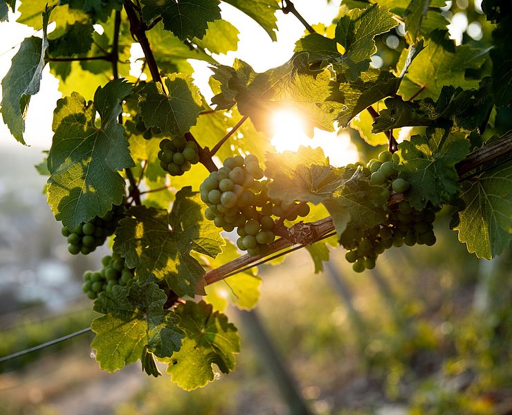
Wanderweg
Traubenpfad No. 3 - Through the vineyards of Bad Neuenahr
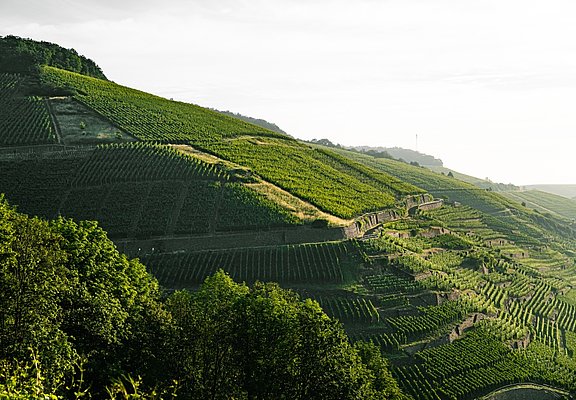
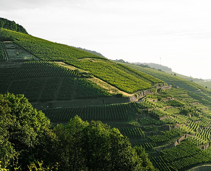
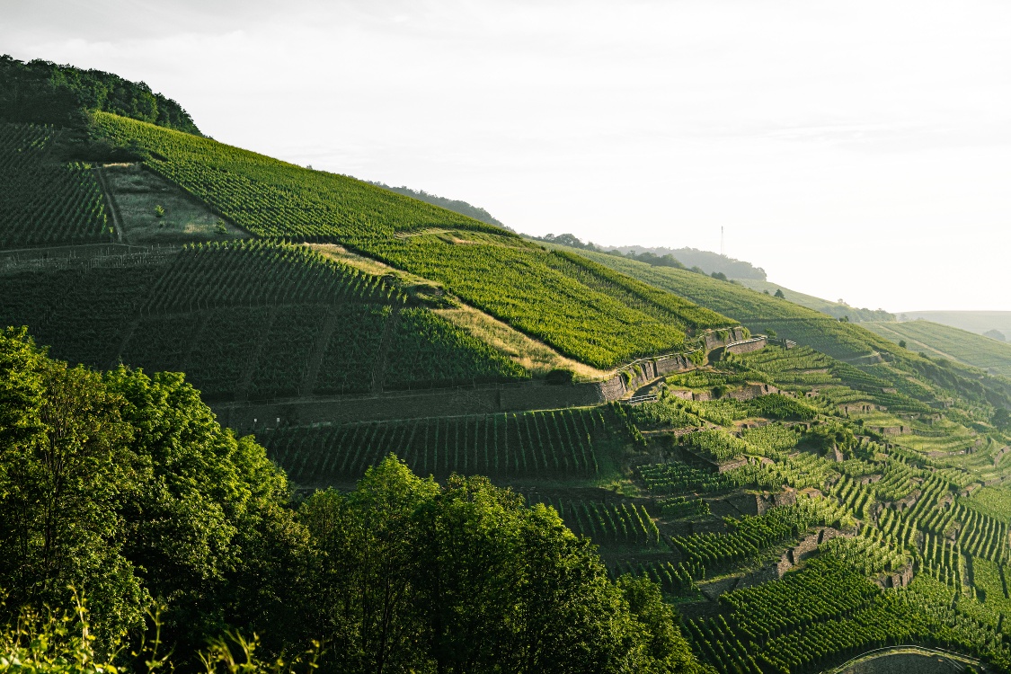
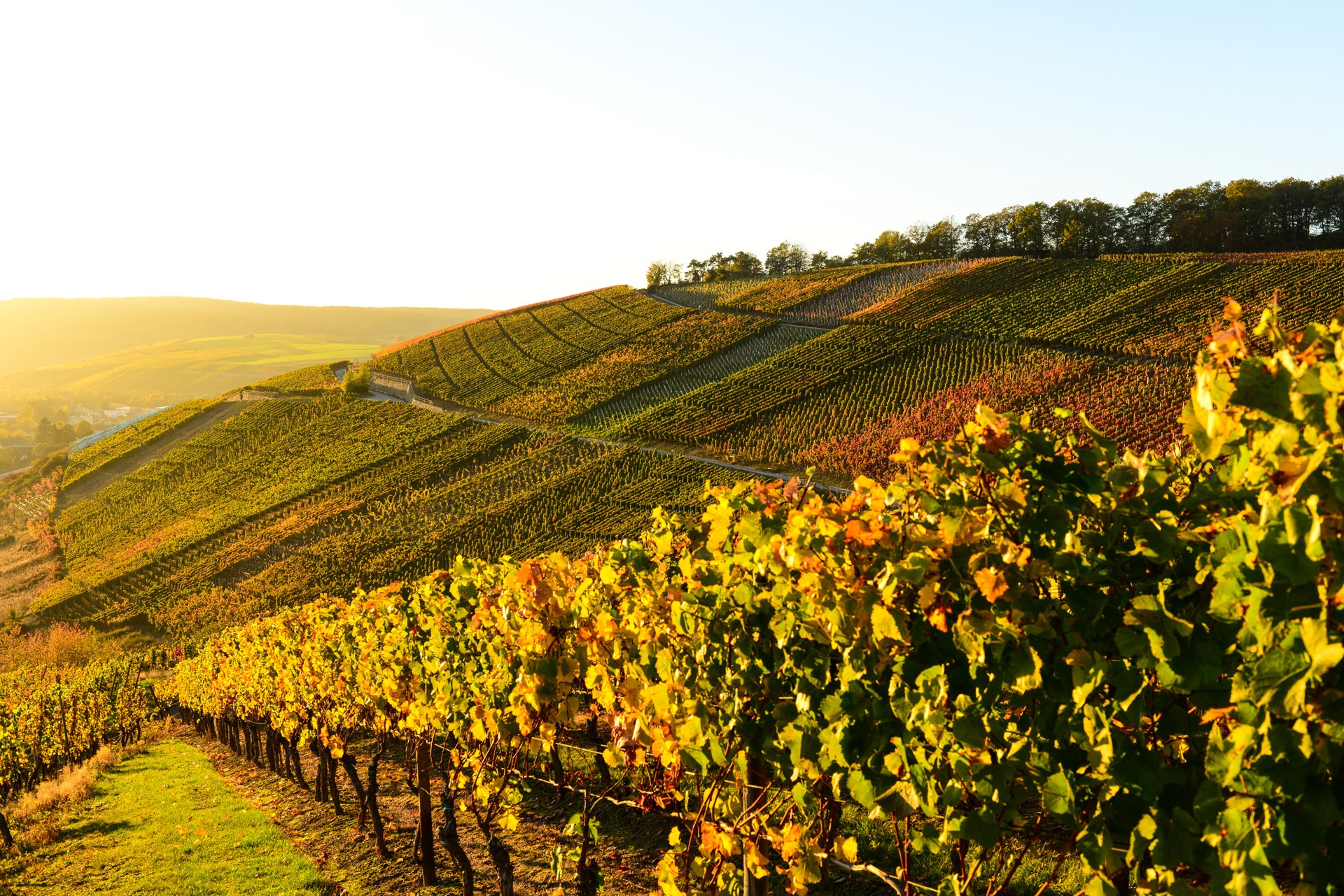
The Ahr valley, located just outside the gates of the Rhine cities of Cologne and Bonn, is one of the most beautiful hiking paradises in Germany. In the center of the Ahr valley lies the town with two faces: Bad Neuenahr-Ahrweiler. On one side a spa and health center (Bad Neuenahr), on the other shaped by the Roman period and viticulture (Ahrweiler). Around the town run 15 circular hiking trails, of which five are designated as Traubenpfade. The length of the trails varies between 3, 8, and 13 kilometers. The difficulty level ranges from easy to challenging, so there is a suitable hiking path for every condition and mood.
The hike starts at the parking lot below the Bengener Heide airfield. The path first leads downhill on the paved road, passing the shooting range and then turning left after about 500 m. For the first few kilometers, the path is identical with the route of Traubenpfad No. 4.
Shortly afterwards, the Traubenpfad leaves the road at the curve to the right, and you continue hiking on the "footpath to the Bad Neuenahr district." The picturesque path now curves downhill past bushes and trees. At a hairpin bend after about 100 m, you follow the path to the left.
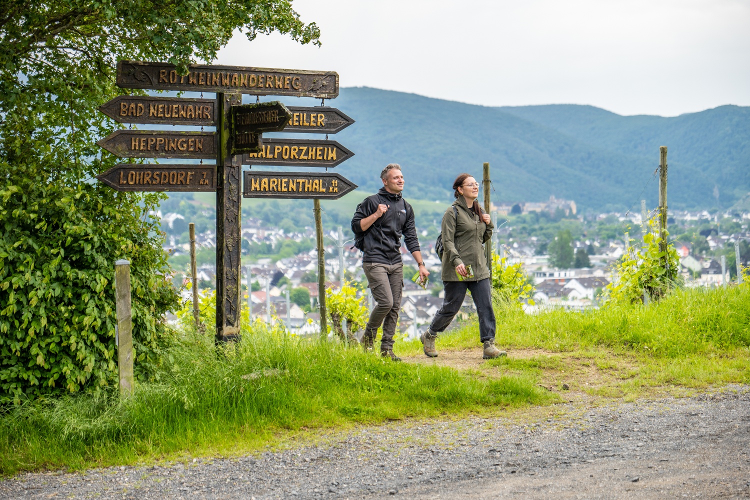
Soon you reach a grain field, where you continue to the right accompanied by grapevines. Shortly afterwards, you encounter the Rotweinwanderweg (red wine hiking trail). At this point, the path splits from Traubenpfad 4, and you turn right onto a paved path leading downhill.
After 200 meters, the path meets a bench where you follow the Rotweinwanderweg uphill. As a reward, another bench on the right invites you to take a short break after the small incline.
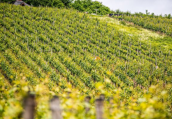
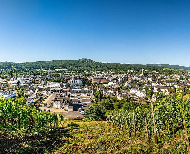
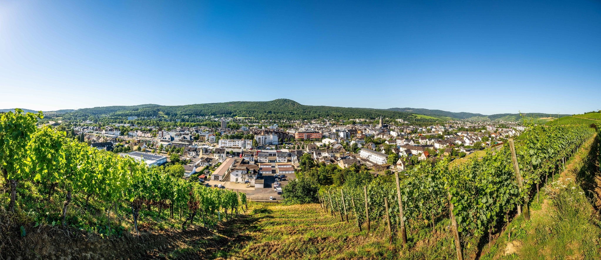
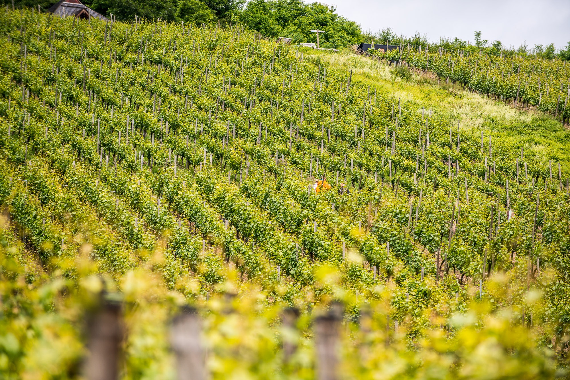
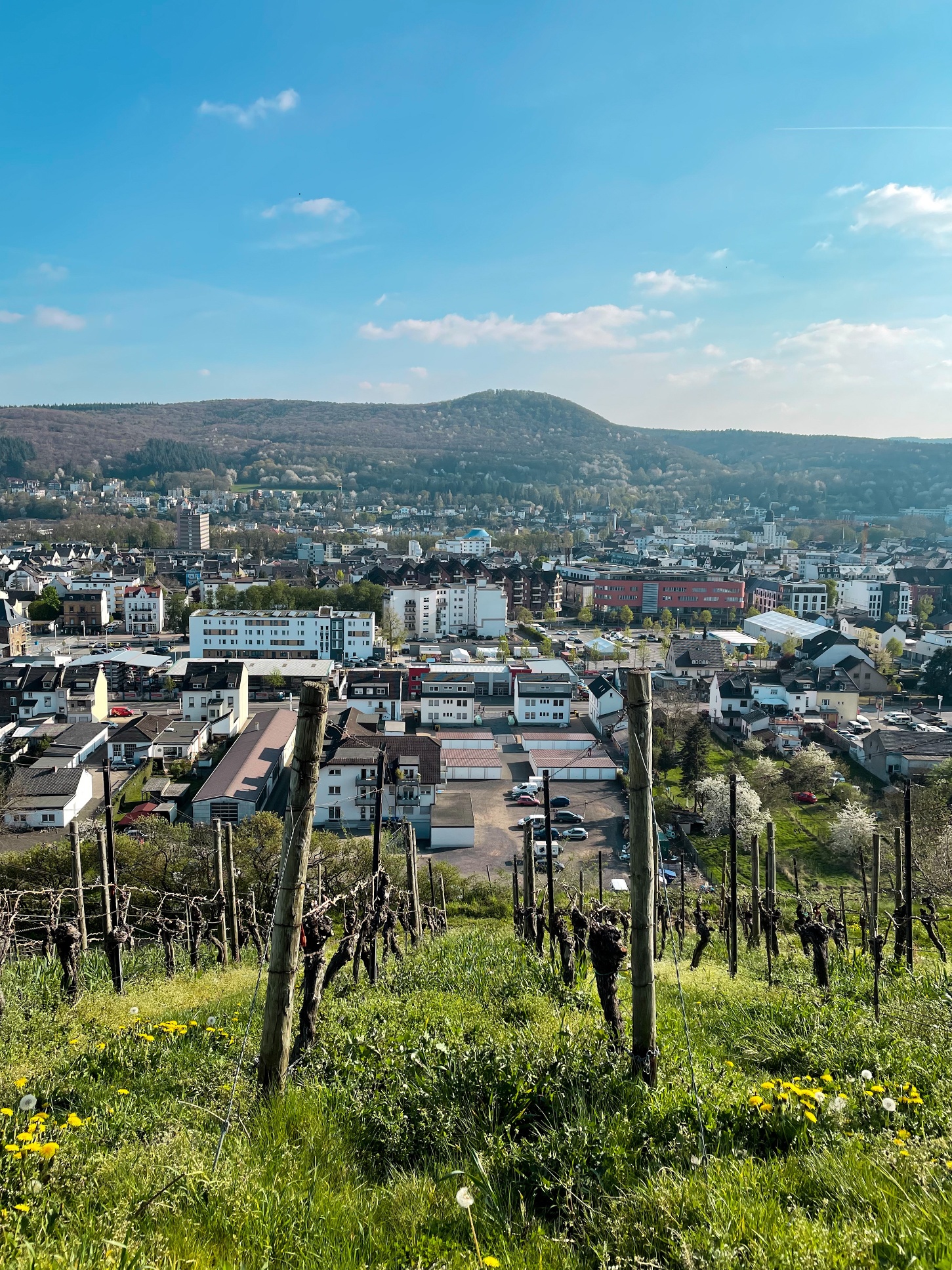
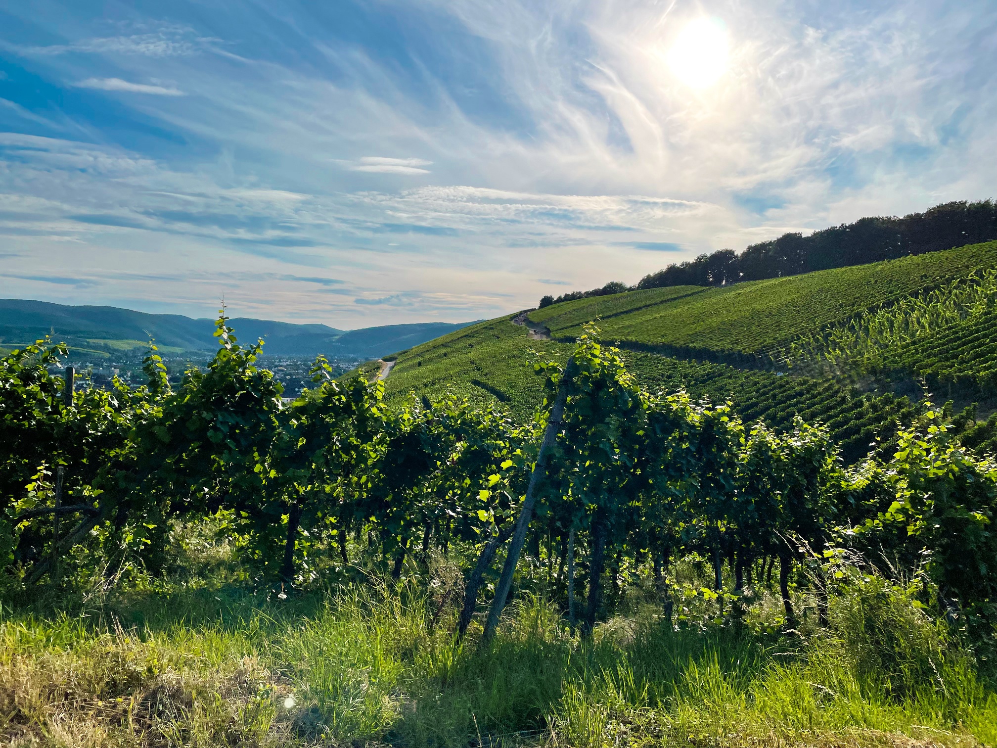
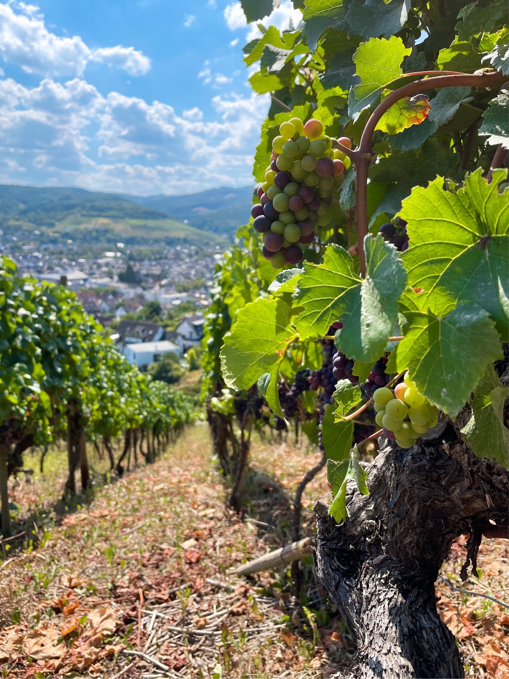
Here the Traubenpfad leaves the Rotweinwanderweg, turning left onto an unpaved path that winds through the vineyard and offers a great view of Bad Neuenahr. Shortly afterwards, you meet another paved path and continue left through the vineyard.
A sharp left leads to a street heading into the town. At this point, the Traubenpfad goes gently uphill, and after about 300 m, a bench stands at a fork in the path – just the right spot to enjoy the panoramic view of the valley.
From the bench, keep right and slightly uphill. You are still hiking through the vineyards. After about 100 m, the path encounters another fork, where it goes left downhill. Here, the path leaves the vineyards for a while and leads down into a small valley.
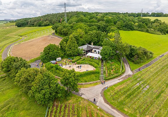
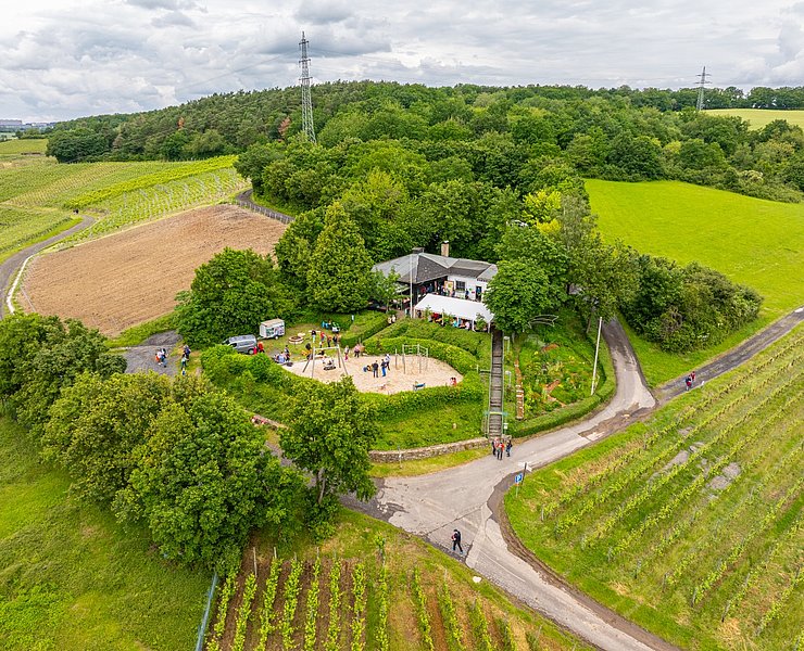
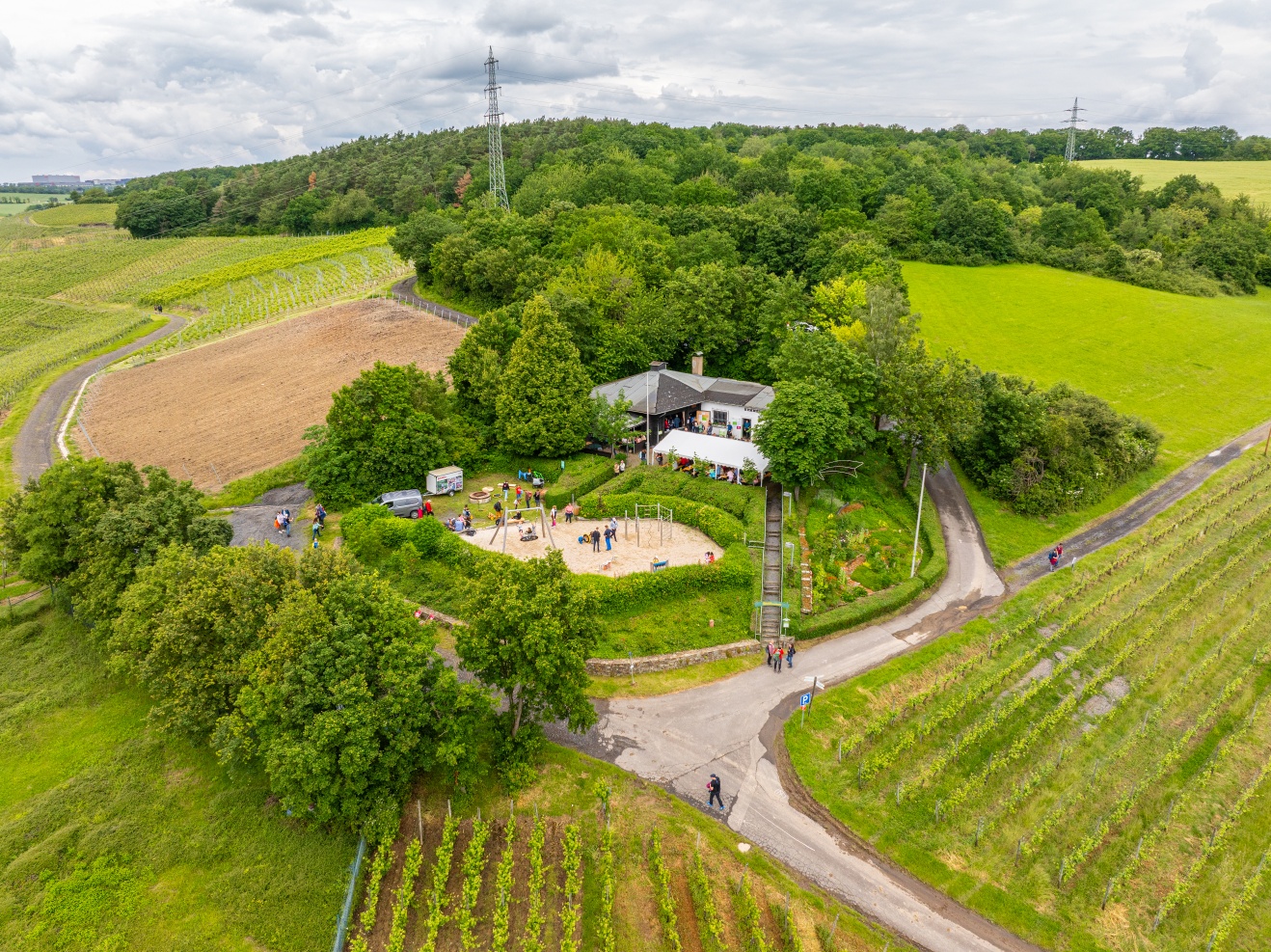
Soon, the first houses appear, and you pass the street "Am Dellmich," keeping right uphill towards the Hemmessener Hut. After 200 meters, a bench is located at a fork in the path. Via the access path to the Rotweinwanderweg, the path leads right up to the hut. The hut, built in 1979, is nicely situated and open for four months of the year.
You leave the hut to the right and hike straight ahead on the Rotweinwanderweg along a gravel path through the vineyards. After a short descent parallel to the motorway feeder, you reach a wider paved path where you keep right uphill on the Rotweinwanderweg.
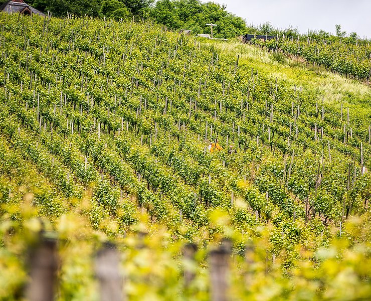
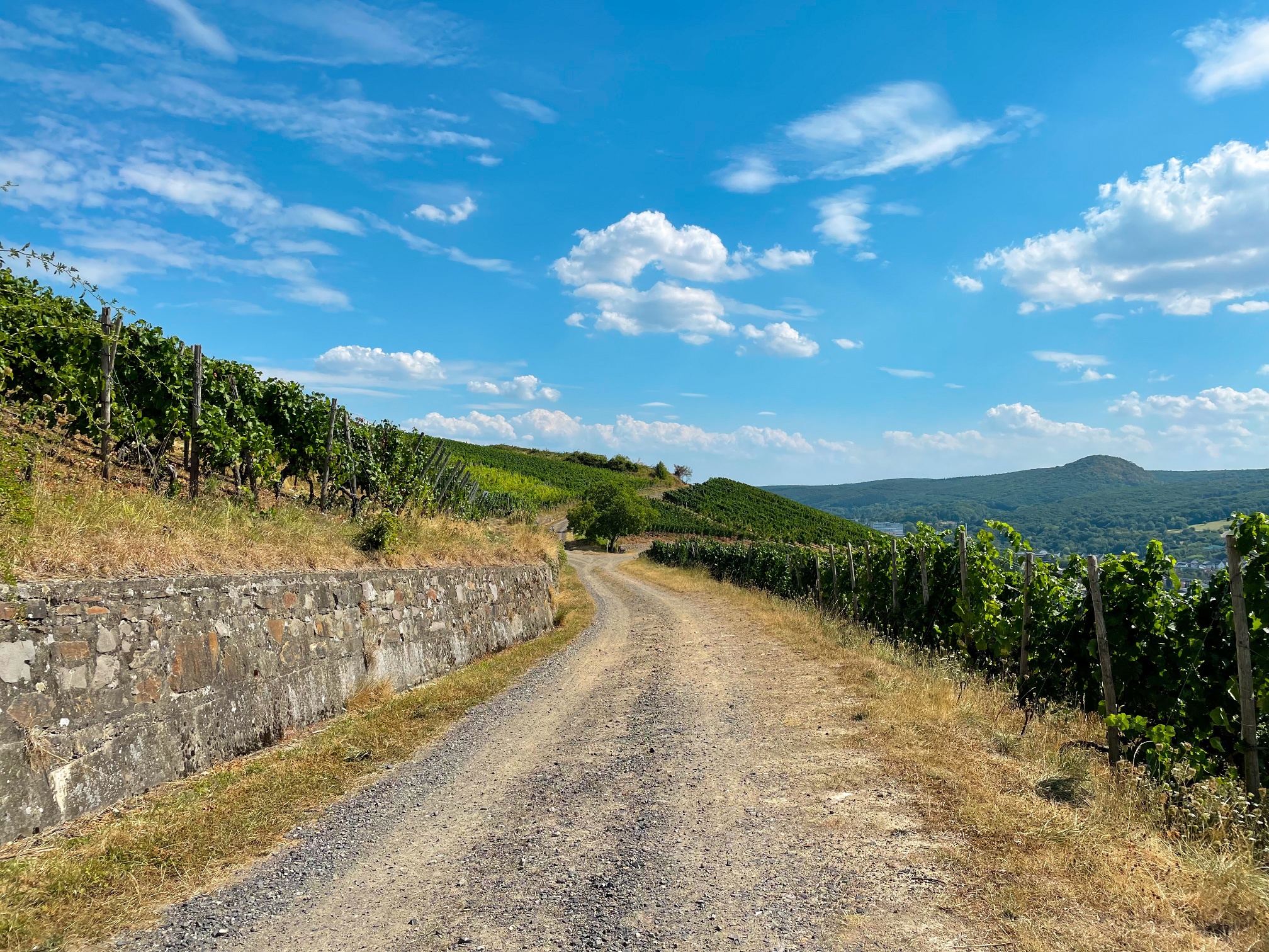
At a bench before a vineyard wall, you leave the Rotweinwanderweg as the path leads right uphill on a gravel path through the vineyard. The Rotweinwanderweg continues to the left. After about 200 m, a path joins from the right, and the Traubenpfad turns right onto it. With the vineyard to the right and the forest edge to the left, you continue on this idyllic path for about 250 m. The path slopes gently downhill and soon reaches a forest. After about 50 meters, the path in the forest turns right onto a very narrow trail going downhill in switchbacks. This trail ends after about 120 m at a bench inviting another rest. You follow the path left onto a wider path along the forest edge and after about 400 m reach the Professor Wagner shelter, located under a majestic oak tree. To the left of the shelter, you continue along the forest until after 300 m, vineyards on the right and an open field on the left dominate the view. Here, a beautiful view of Bad Neuenahr is offered.
At the crossroads, go straight ahead; you can already see the masts of the Bengener Heide on the left. After passing the farm, follow the path to the right onto a field path leading along a pasture fence. After 200 m, the path turns left onto the path between the vineyard and field leading to the airfield junction. Here, you follow the path uphill to the left and arrive back at the starting point.
The detailed route description with tips on dining options, beautiful views, and elevation profiles can be found in the hiking book: "Around Bad Neuenahr-Ahrweiler. The 15 most beautiful hiking trails" from J.P. Bachem Verlag (ISBN 978-3-7616-2844-7).
- ZG Vielseitig Aktive (L)
- ZG Aktive Naturgenießer (L)
- ZG Kultur- und Landschaftsliebhaber (L)
- ZG Nur Wanderer (L)
- ZG Städte-Genießer (L)
- Round trip
- Hiking trail
- promising
- Hiking
- Back for you

source
Ahrtal-Tourismus Bad Neuenahr-Ahrweiler e.V.
·
Author:
Simone Schmidt
















