 EN
EN


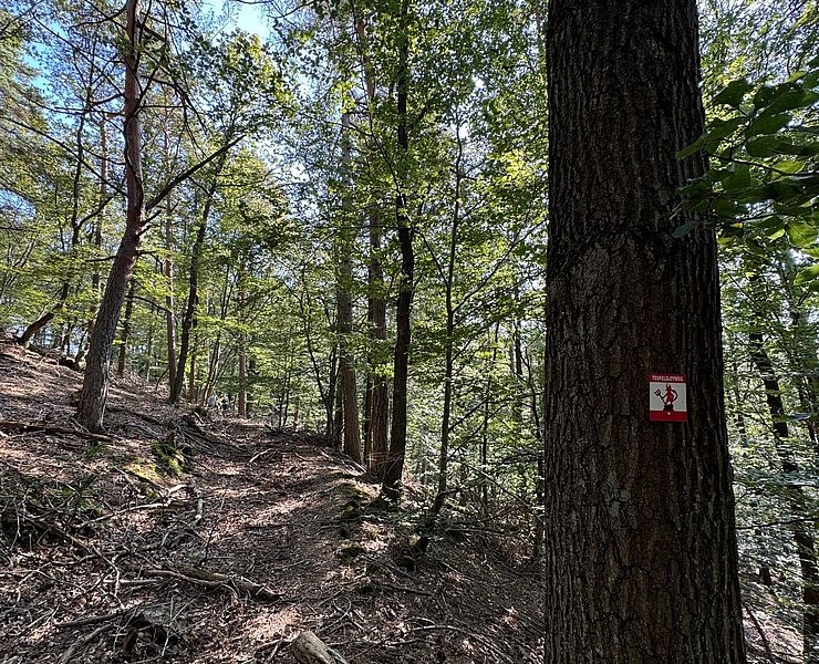
Wanderweg
Teufelsleyweg Hönningen
Circular hike from Hönningen to the Teufelsley
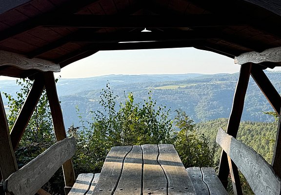
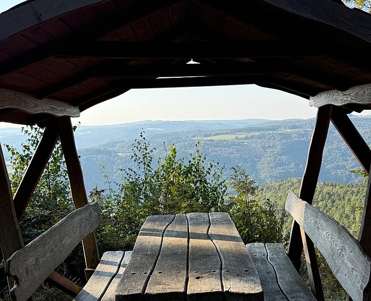
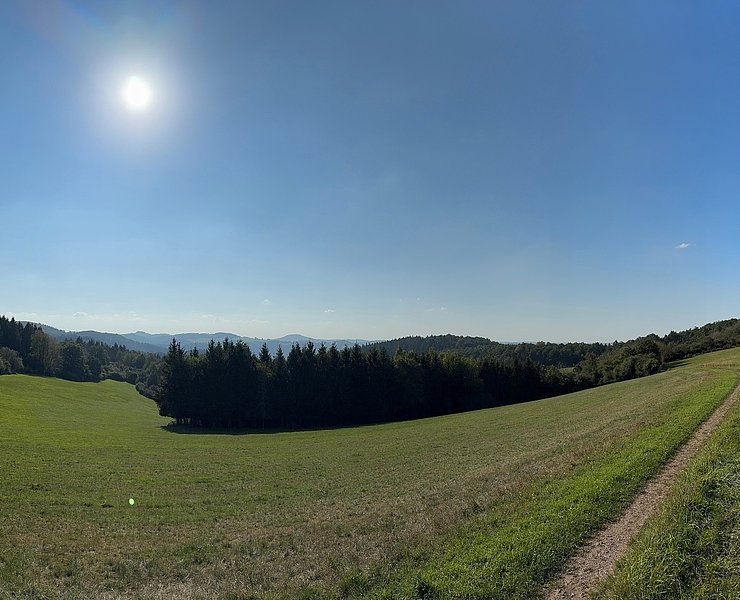
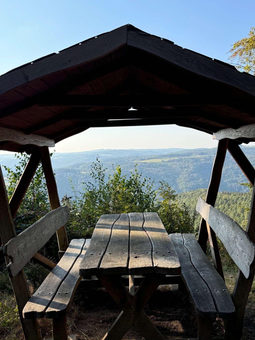
This eventful hiking route leads you up to the Teufelsley, the largest quartzite rock in Europe. First briefly steeply ascending over small paths, then again leisurely over forest trails, with magnificent views of Hönningen, you reach the ridge of the Teufelsley. At a clearing with a seating area, the view stretches far over the heights of the Ahr-Eifel. The path leads downhill to the viewpoint in the direction of Ahrbrück. Back in Hönningen, you walk through the narrow town center with the old school, village fountain, and church of St. Kunibert.
The short steep ascent at the beginning of the hike can also be comfortably bypassed:
Through the town center, turn before the Kaiserlinde into Teufelsleystraße and follow the forest road towards the Teufelsley there.
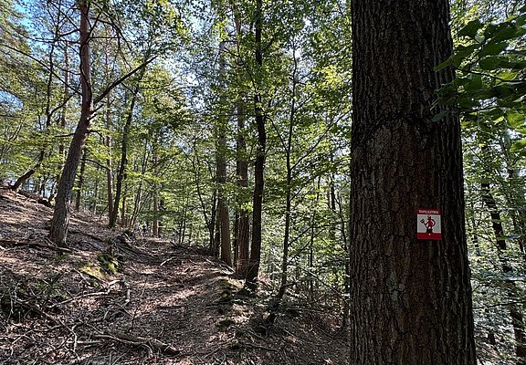
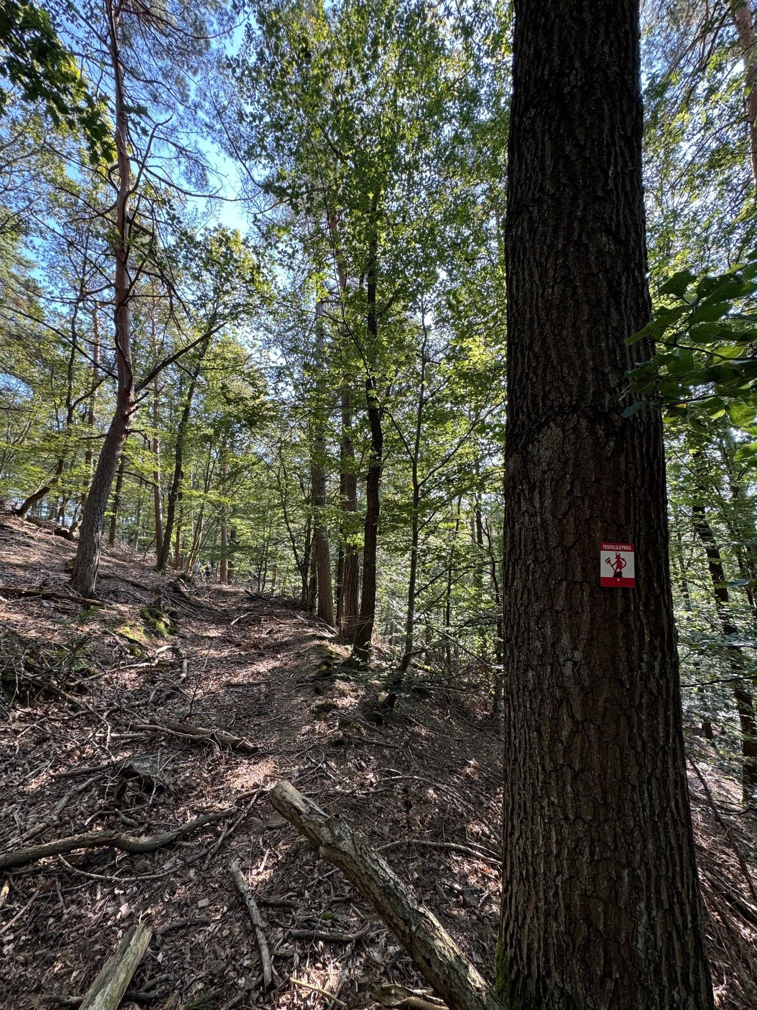
The hiking route is marked with the devil symbol.
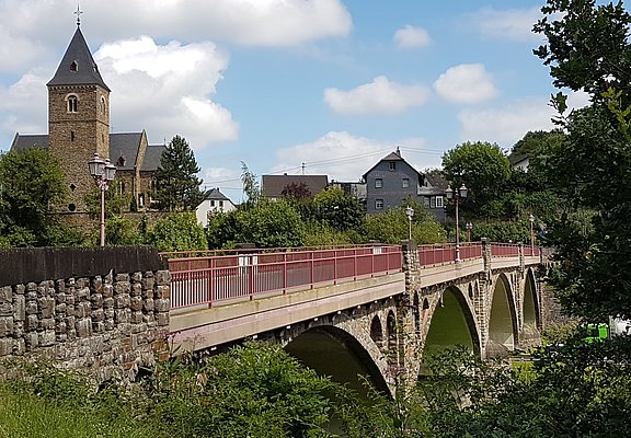
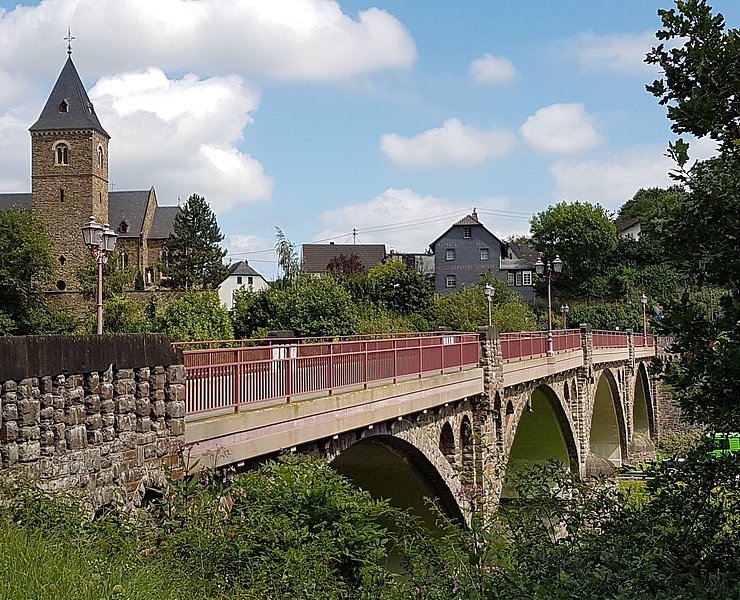
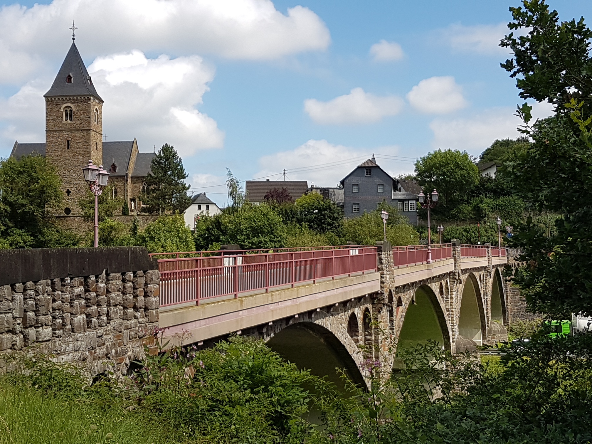
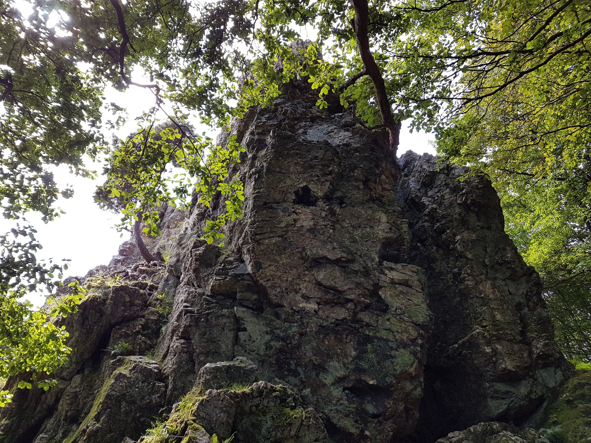
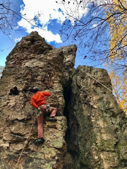
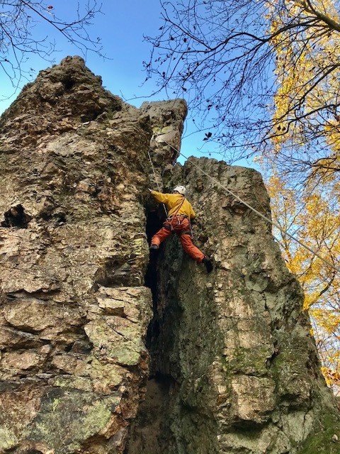
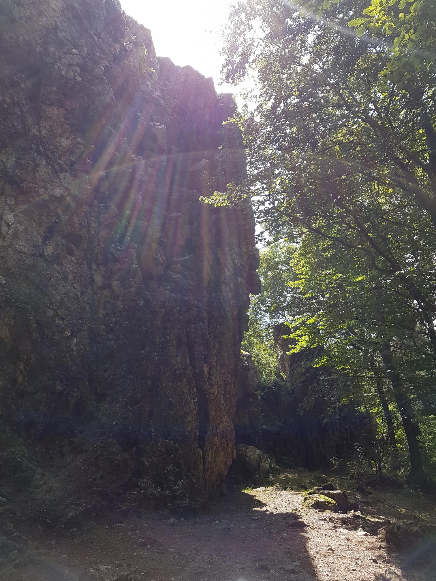
The varied circular hike starts at the Ahr bridge in Hönningen, the largest bridge over the Ahr with a span of 104.5 m. Over a small path opposite the church, the trail first leads steeply uphill, soon offering a view over the roofs of the densely built town center of Hönningen. After overcoming the first 80 meters of elevation, the path continues leisurely on a forest road through light deciduous and coniferous forest. On a mountain ridge we enjoy the view from the bench of the oldest part of Hönningen with the church, Ahr bridge, Hubertus chapel, and the silver-shining Ahr winding through the narrow valley, framed by steep rocks. The path serpentine winds further uphill over forest trails and paths until we reach the ridge of the Teufelsley at 495 m above sea level. The Teufelsley (Ley = rock), the largest contiguous quartzite rock in Europe, towers with a length of 80 meters and a height of 18 meters over the Ahr slate mountains. Already in 1926 the rock and the surrounding forest were placed under nature protection. On the impressive rock formation, which also attracts many climbers, algae, mosses, lichens, and rare types of striped fern grow.
According to legend, the devil wanted to build a castle here. But God sent clouds, thunder, and hail with lightning, so that it burst into a hellish blaze. It really seems that the black marks on the stone come from fire.
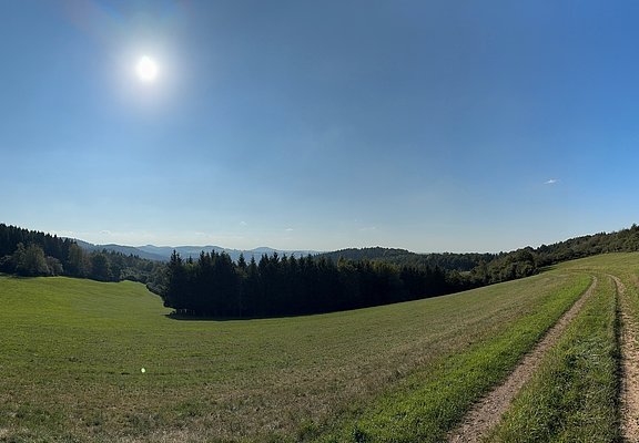
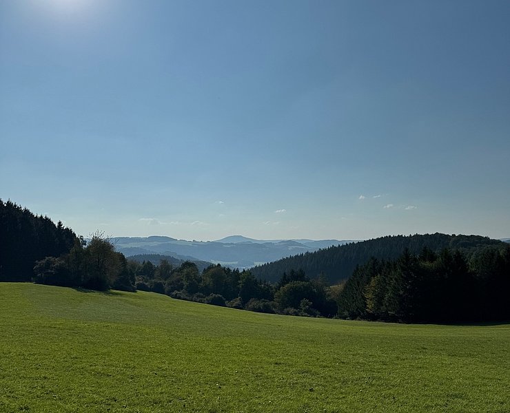
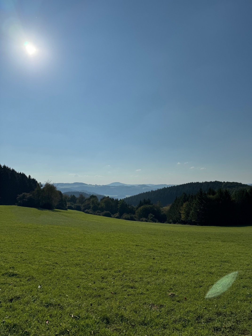
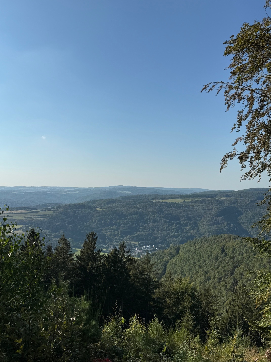
On the soon reached forest clearing with a resting area, the view roams over the heights of the Eifel. You can see the Michelsberg near Mahlberg, the far distant wind turbines near Nettersheim, and the small villages of the former municipality of Mutscheid. Over a small path leading downhill, we leave the ridge and reach the viewpoint with a view to Ahrbrück and the yellow shining Katharinen chapel. First flat, then downhill through a hollow way, over forest and meadow paths, we walk back downhill to Hönningen. A footpath leads to the village center with the old schoolhouse (now community center) and the village fountain. Past the church of St. Kunibert with its magnificent frescoes on columns and side pillars, the route ends at the Ahr bridge in Hönningen, the starting point of the hike.
- Round trip
- Hiking trail
- ZG Vielseitig Aktive (L)
- ZG Aktive Naturgenießer (L)
- ZG Kultur- und Landschaftsliebhaber (L)
- ZG Nur Wanderer (L)
- ZG Städte-Genießer (L)
- Culture highlight
- Botanical highlights
- Geological highlights
- Refreshment stop
- promising
- Hiking

source
Verbandsgemeinde Altenahr
·
Author:
Ulla Dismon
















