 EN
EN

Tour
Wirftbach-Schleife im Naturschutzgroßprojekt Obere Ahr-Hocheifel
The Wirftbach loop opens up the entire scenic diversity of the Eifel on a 14 km circular trail, which is accompanied by the babbling of the Wirftbach stream over long stretches.
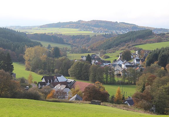
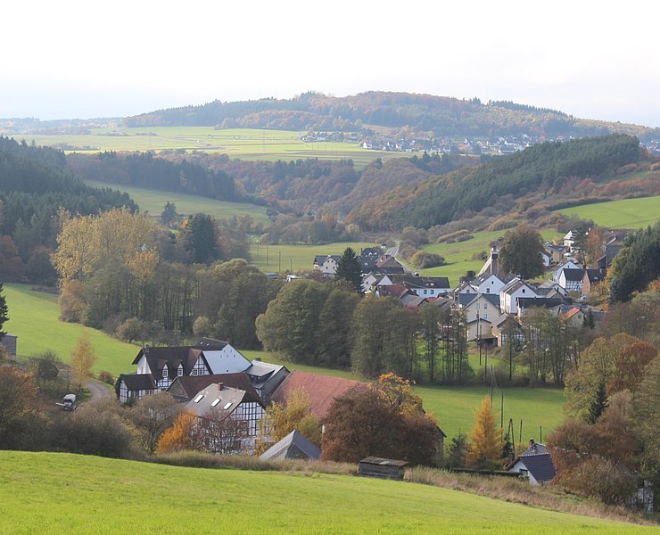
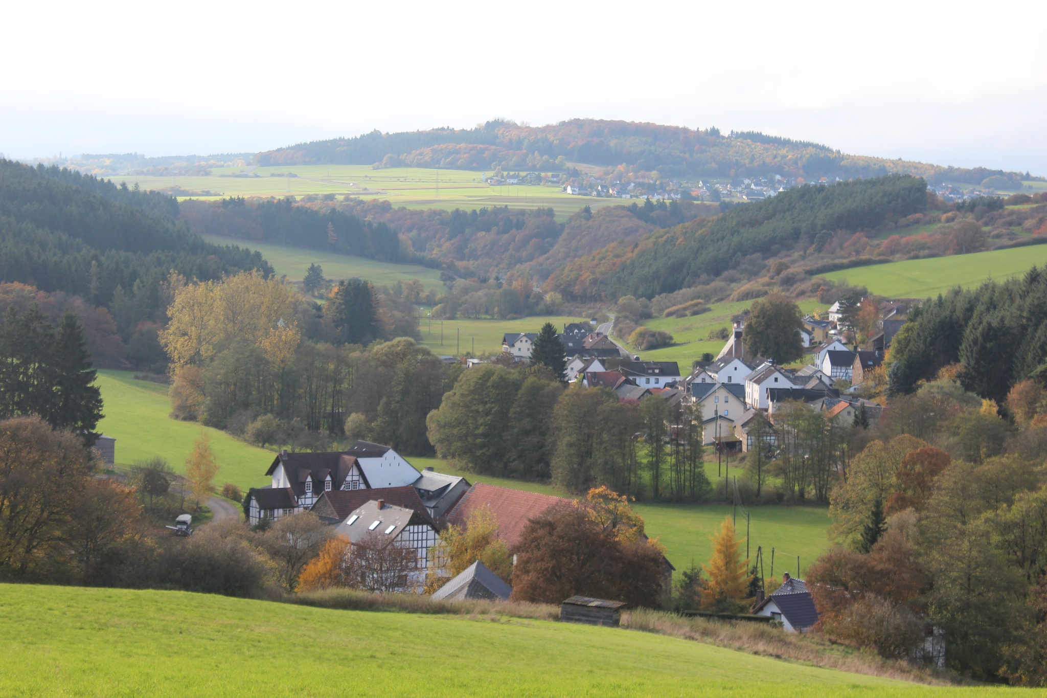
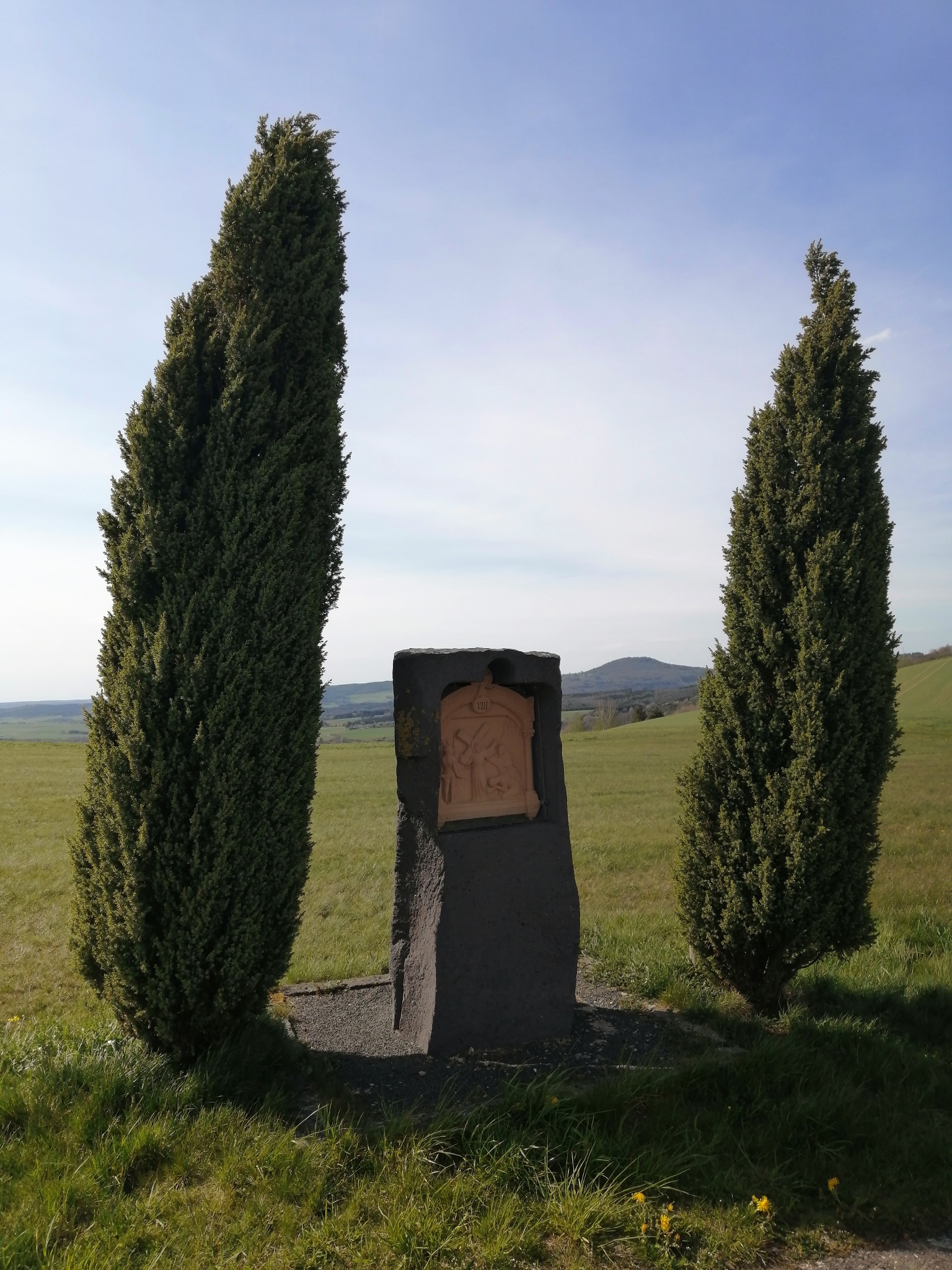
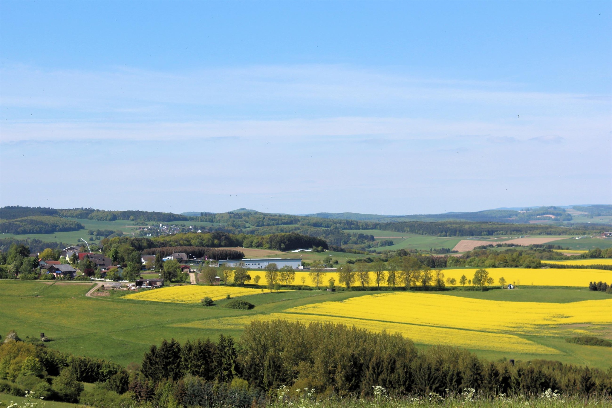
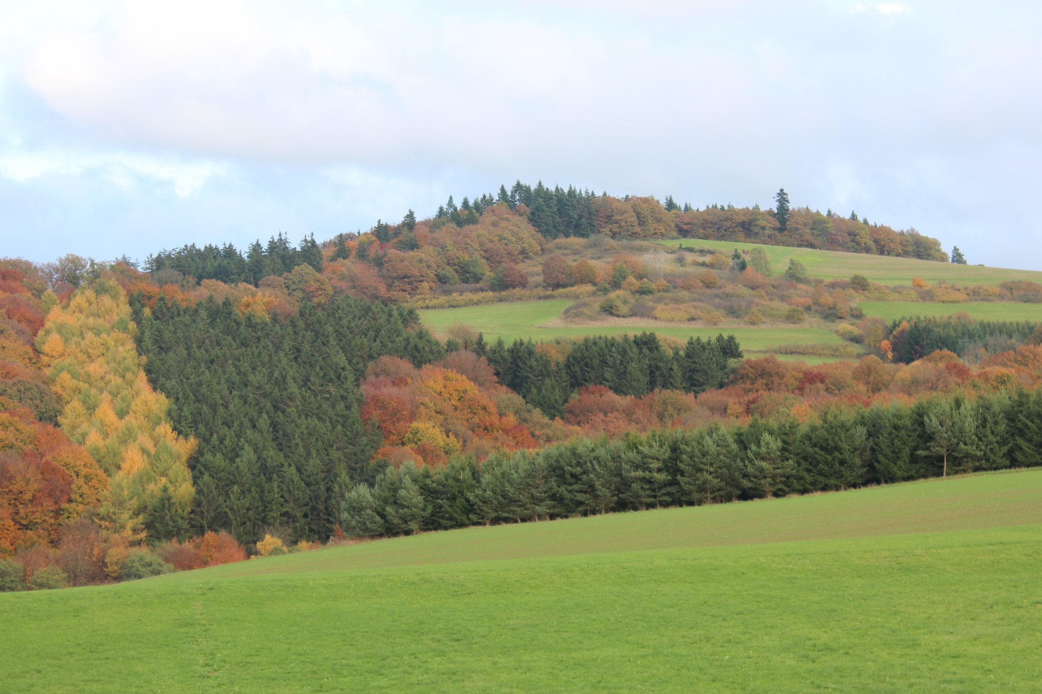
The route of the Wirftbach loop is extremely typical of the Eifel. Forest and meadow paths as well as some sections of path are part of the route, which runs upstream from the mouth of the Wirftbach stream into the Trierbach stream and repeatedly offers marvellous views of the Eifel landscape. Several vantage points with breathtaking views of the Daun Volcanic Eifel, the Schneifel and the upper Ahreifel invite you to pause and enjoy. A beautifully laid out station trail also lines the hiking trail.
To the tour planner
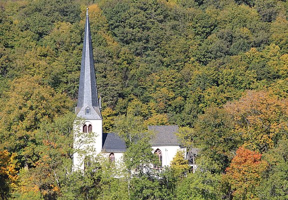
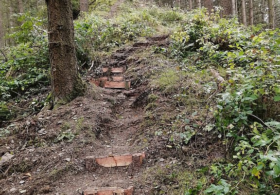
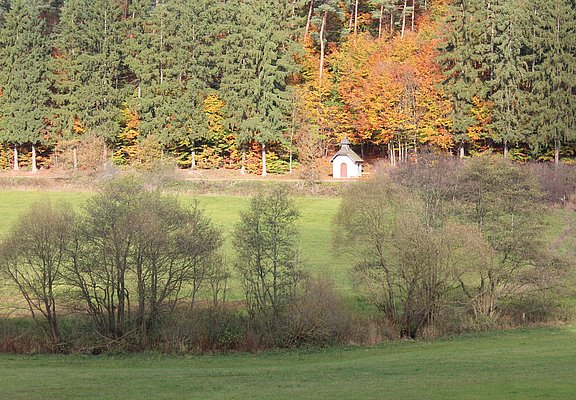
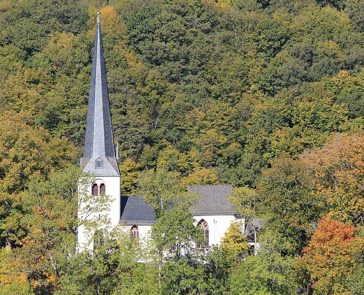
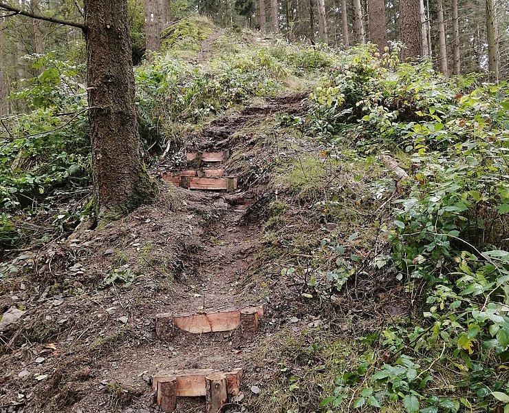
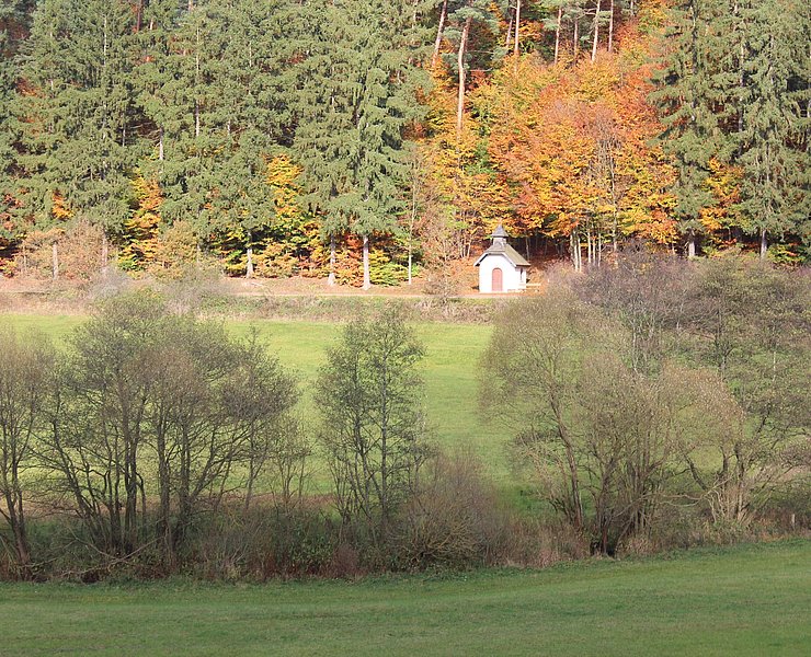
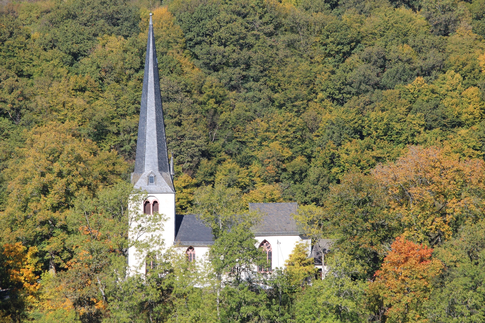
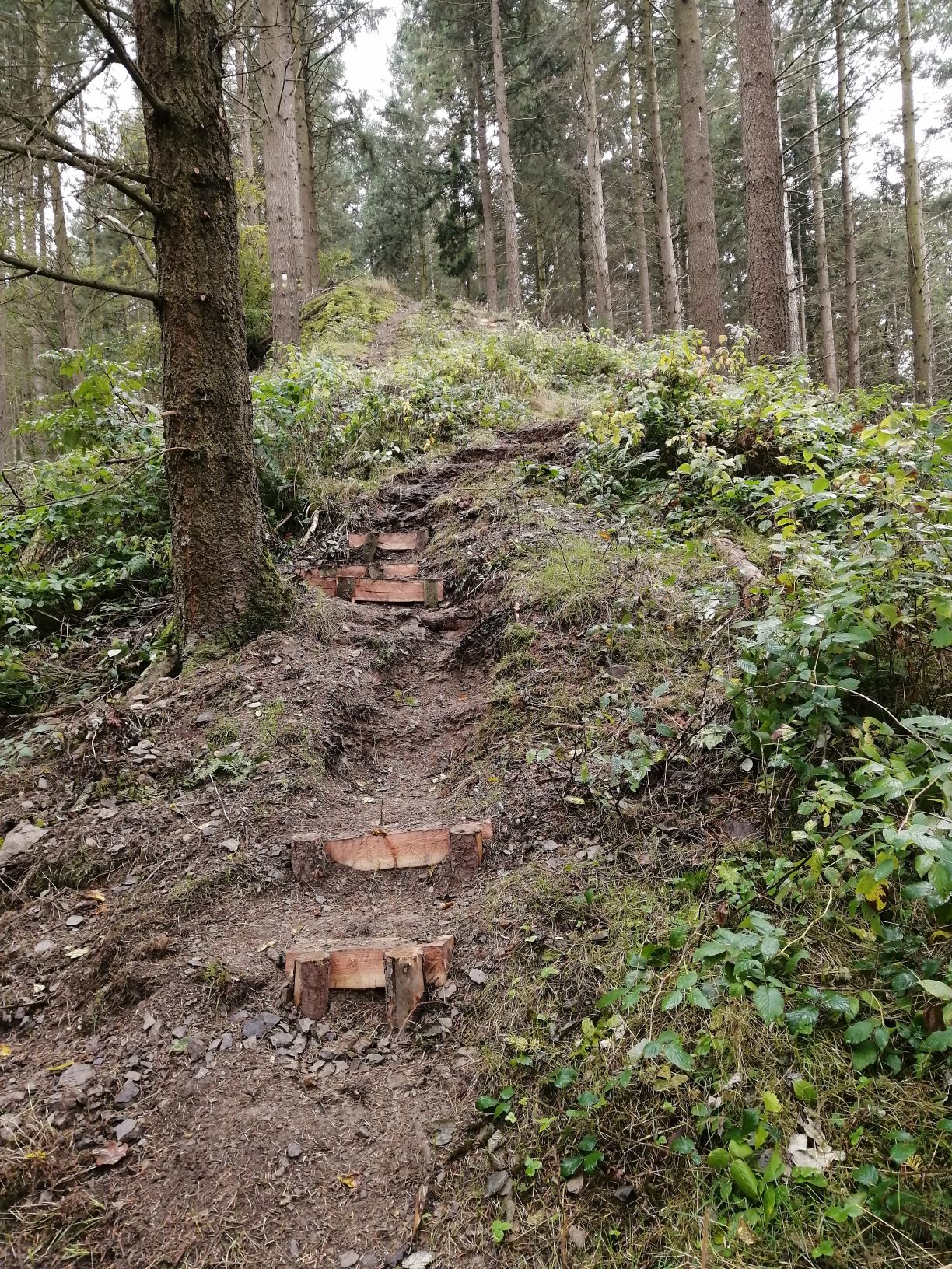
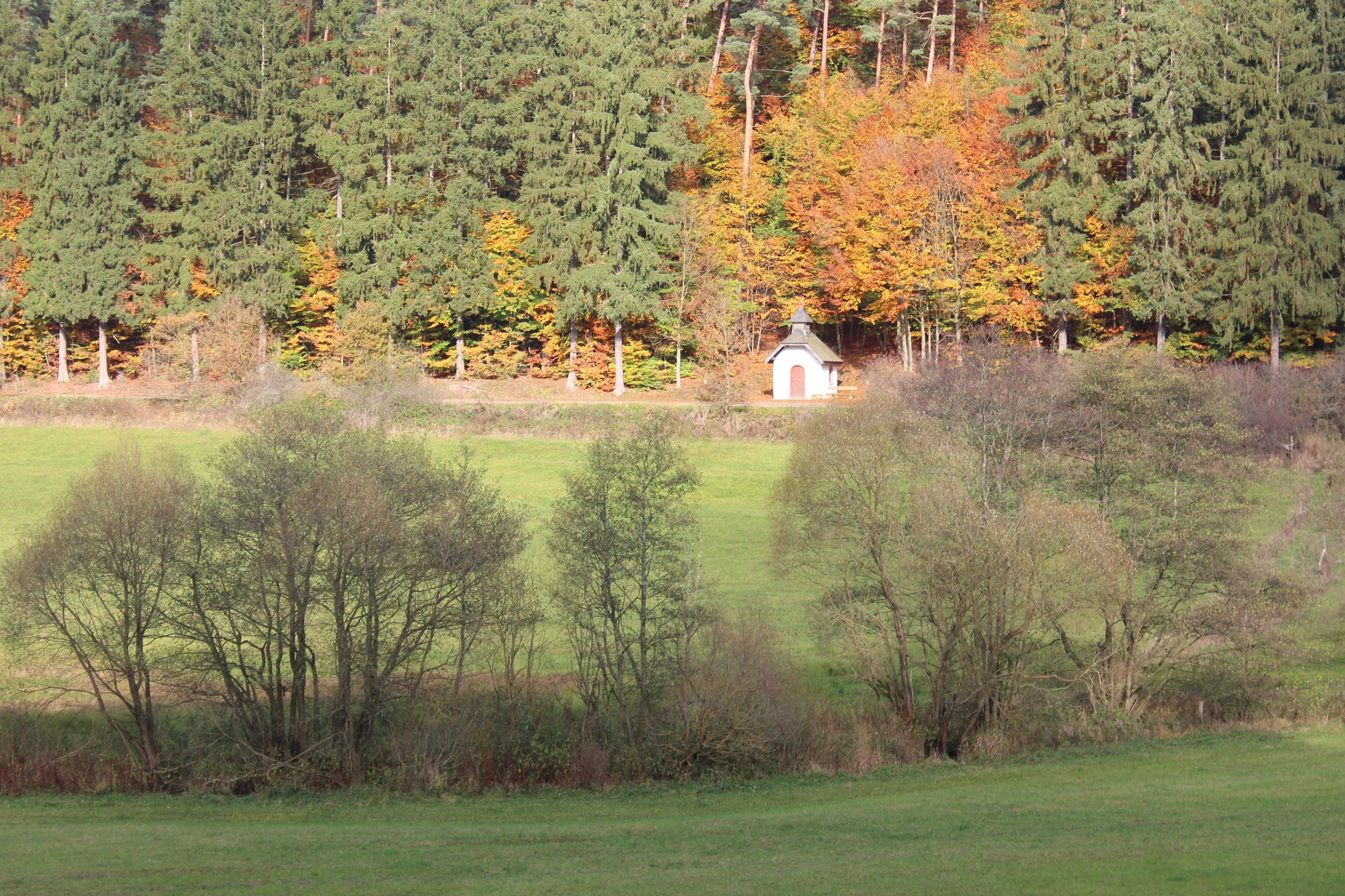
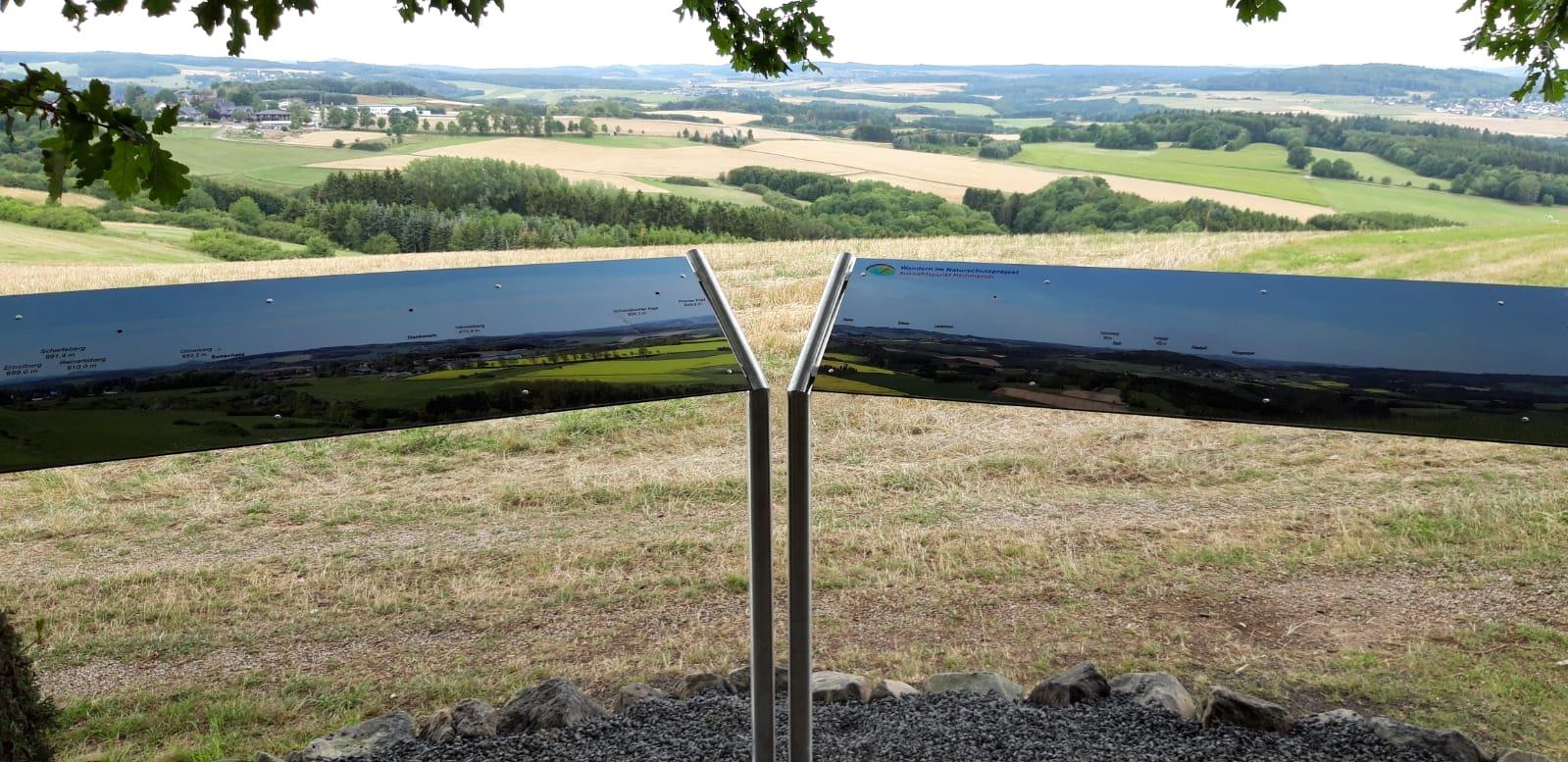
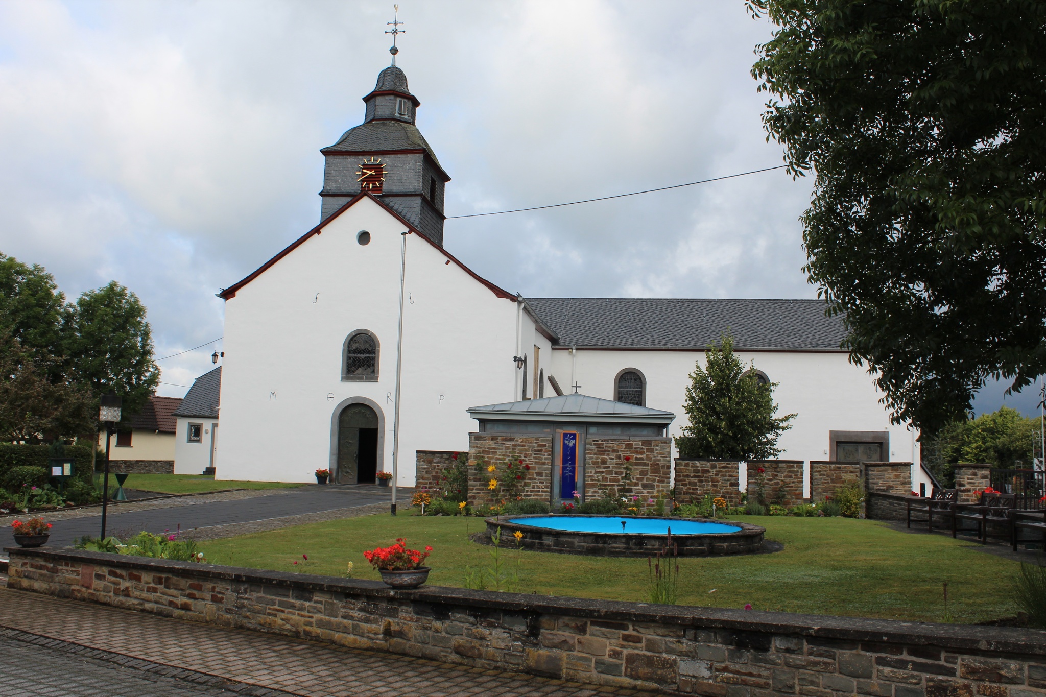
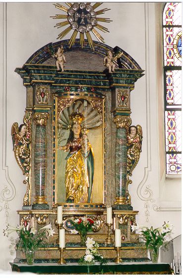
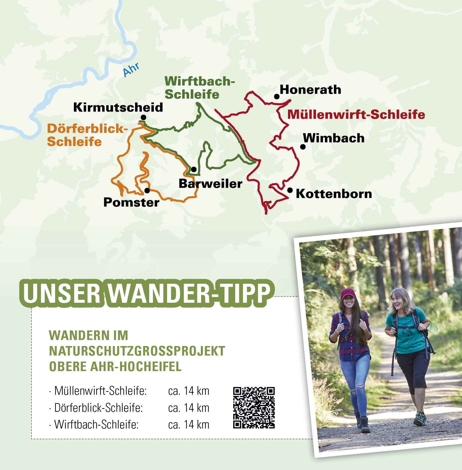
The Wirftbach stream accompanies hikers upstream to the outskirts of Wirft. Passing the Wirft refuge, the path leads uphill for a short distance before leaving the Wirftbach valley via a winding path near the Dreimüllerhof estate. This section of the trail, which climbs slightly, offers an impressive view of the valley, taking in the Dreimüllerhof, the village of Wirft in the valley and the hilltop village of Hoffeld. Once you reach the top, a steep path leads through the forest back down into the Wirftbach valley. (approx. 200 metres). Nature lovers can expect a valley floodplain with extensively farmed wet meadows. After a short time, the hiker reaches the Müllenwirft area of a former pilgrimage site "Zur Not Gottes" which was sold and demolished in 1823. This also included a farm with a mill. On the opposite side of the valley, a small chapel built in 1988 commemorates this once important place of pilgrimage. The trail continues along the Wirftbach stream to the Barweiler mill with fishing ponds. The path leads upstream along the fishing ponds to the road bridge that spans the Wirftbach. Here we leave the Wirftbach on an old pilgrims' path in the direction of the well-known pilgrimage site of Barweiler. Initially walking through a wooded area, we reach the first meadows and the outskirts of Barweiler. Passing the weather station, we follow a station trail to the "Hömmerich" viewpoint. This point is 496 metres above sea level and offers an unparalleled view of the Daun Volcanic Eifel, the Snow Eifel and the upper Ahreifel. Meaningful panoramic pictures mark the places and elevations and can be easily identified using the signs. From "Hömmerich", a forest path leads to a meadow path that leads through a hollow to Barweiler. Walking through the village, we reach the pilgrimage church of St. Gertrud in the centre of the village. The veneration of the Virgin Mary goes back to a miracle in 1726, after which the withered lily flowers on a statue of the Virgin Mary began to sprout new buds again in September. After the event was verified by the ecclesiastical authorities, this place of grace "To Our Lady with the Lily" became a place of pilgrimage for the people of the Eifel to this day. There are several places to stop for refreshments in Barweiler, after which the hiking trail leads to the edge of the village, where it joins an impressive avenue of ash trees. We now walk downhill until we see the entire "Kirmutscheid" ensemble in front of us. A bench invites you to take a final rest before the end of the hike.
Kirmutscheid - Barweiler Mühle (4.8 km) - Barweiler Mühle - Barweiler (5.5 km) - Barweiler - Kirmutscheid (3.7 km)
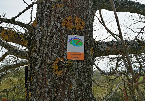
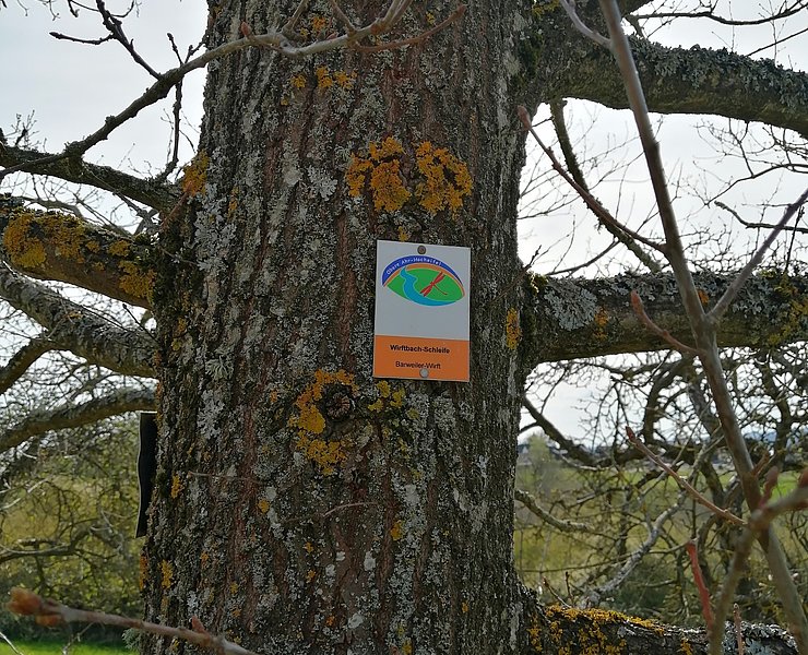
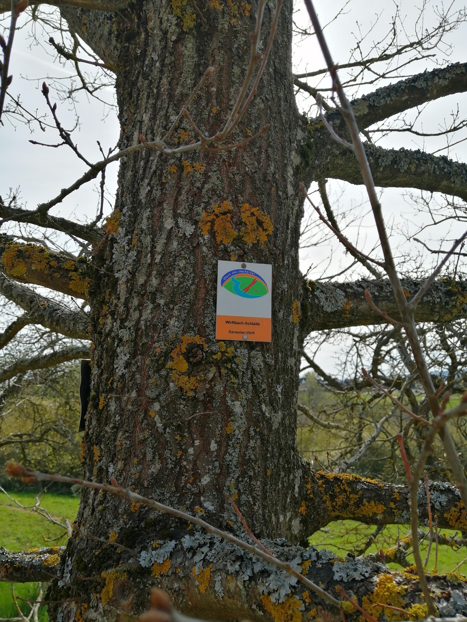
The circular route is signposted throughout with the trail logo.
- 14,0 km
- 4:00 h
- 274 m
- 275 m
- Round trip
- ZG Vielseitig Aktive (L)
- ZG Aktive Naturgenießer (L)
- ZG Kultur- und Landschaftsliebhaber (L)
- ZG Nur Wanderer (L)
- ZG Städte-Genießer (L)
- Refreshment stop
- promising
- Hiker friendly
- Hiking
- Back for you
















