 EN
EN

Tour
Red wine hiking trail from Altenahr to Bad Bodendorf
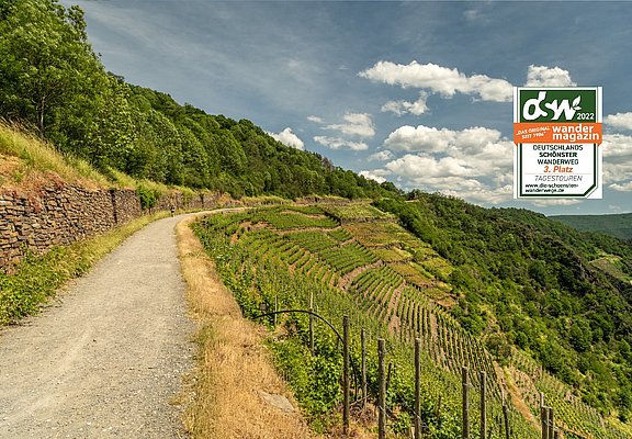
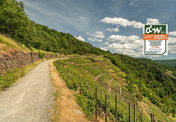
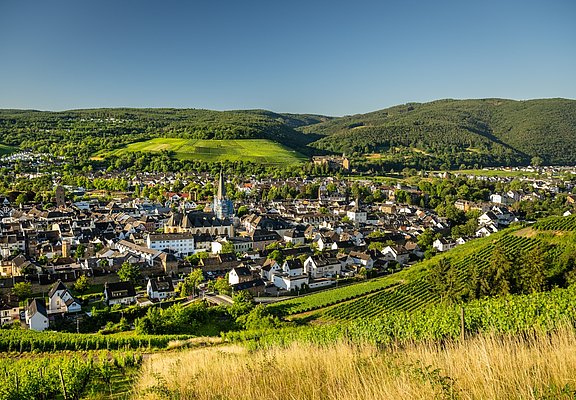
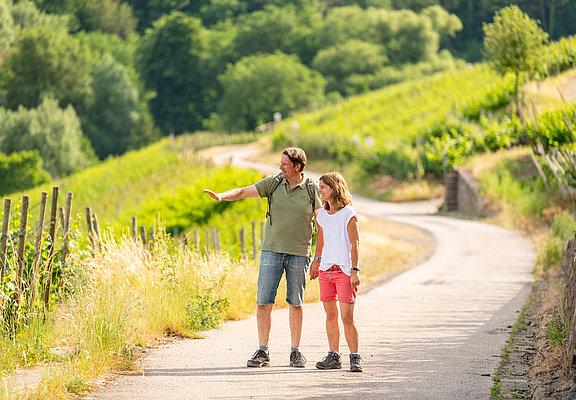
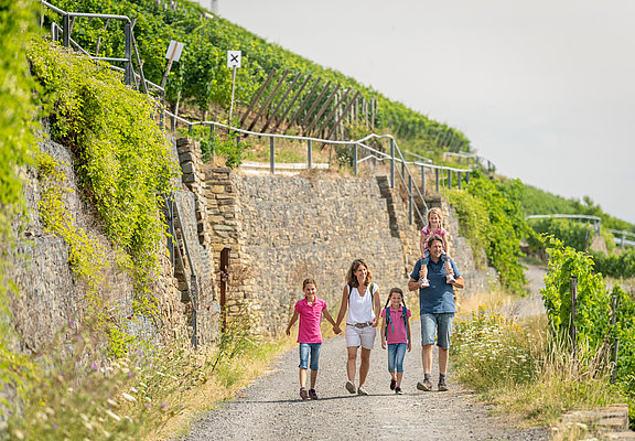
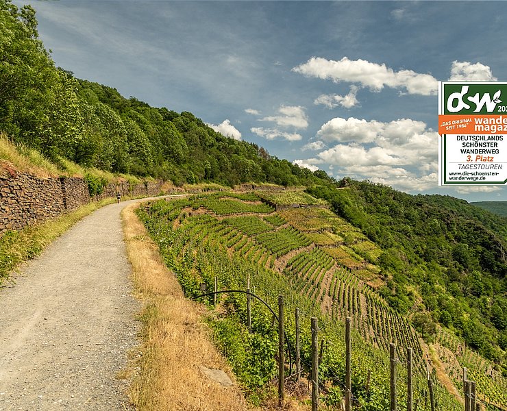
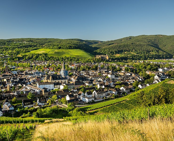
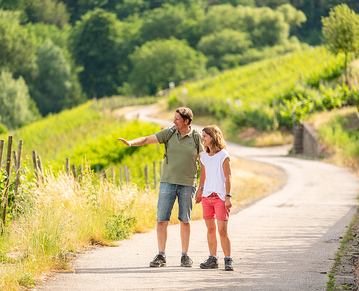
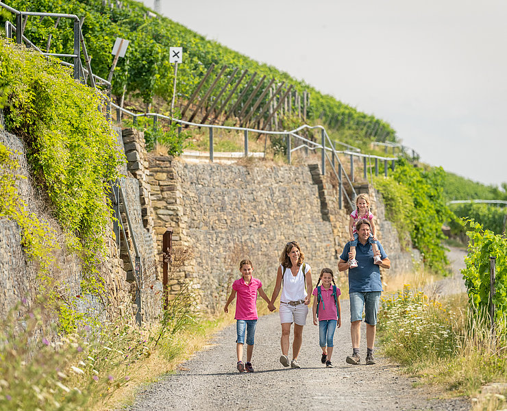
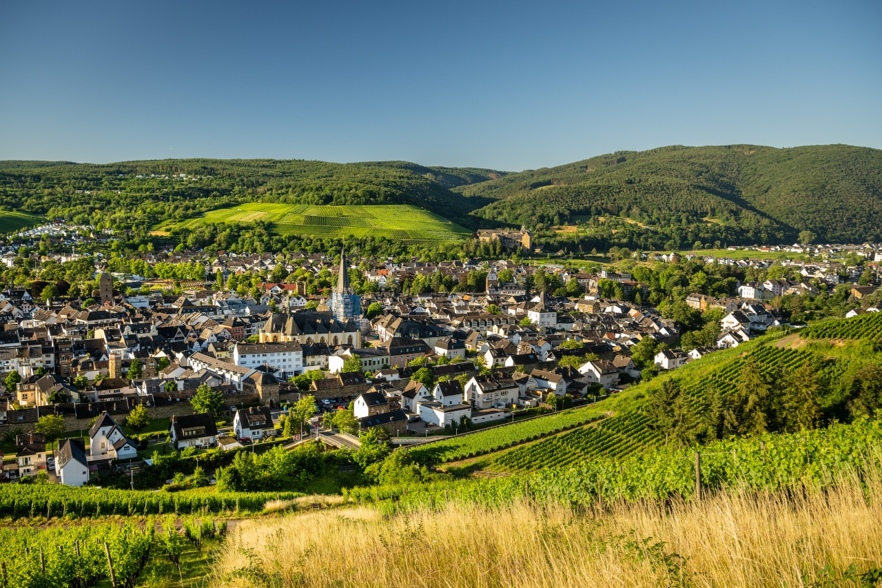
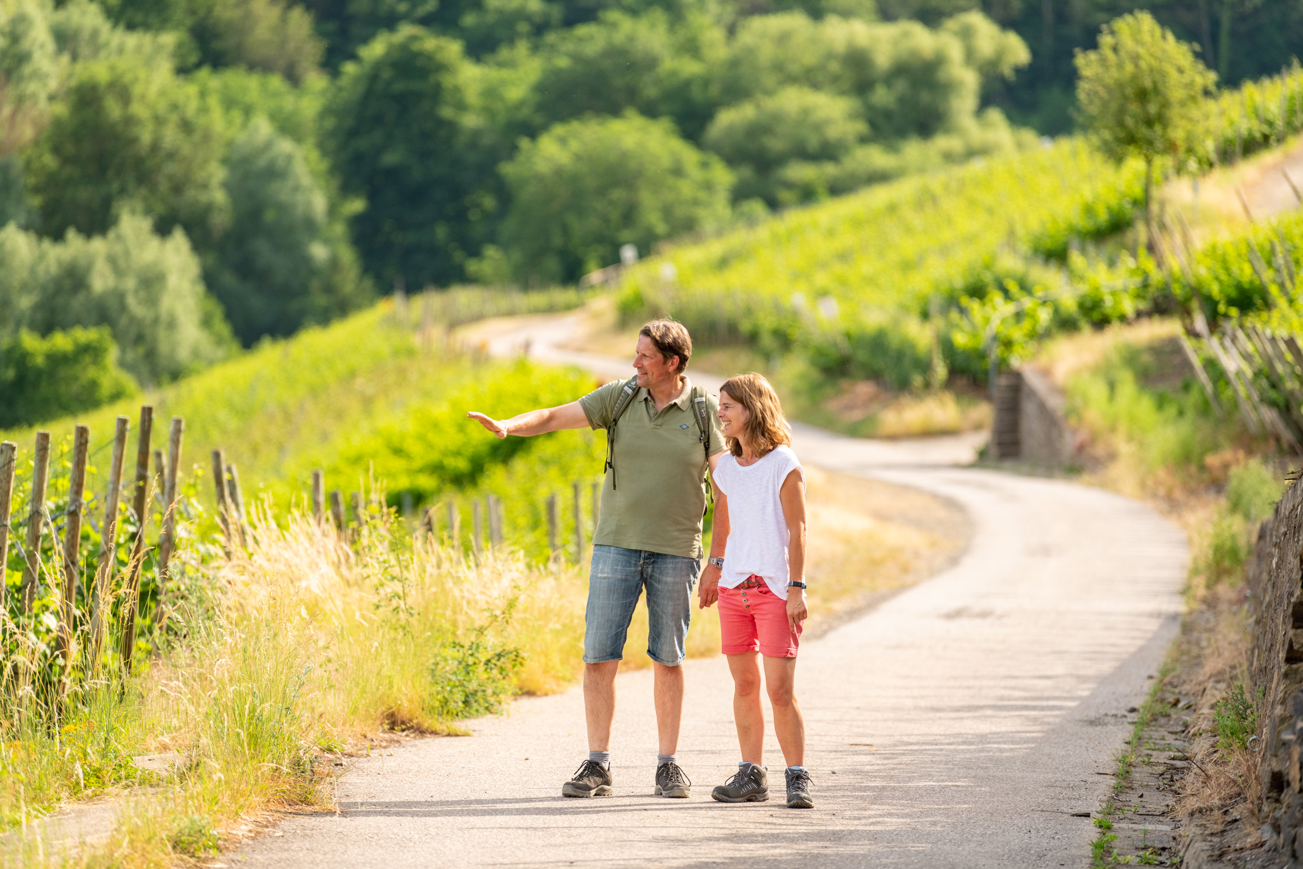
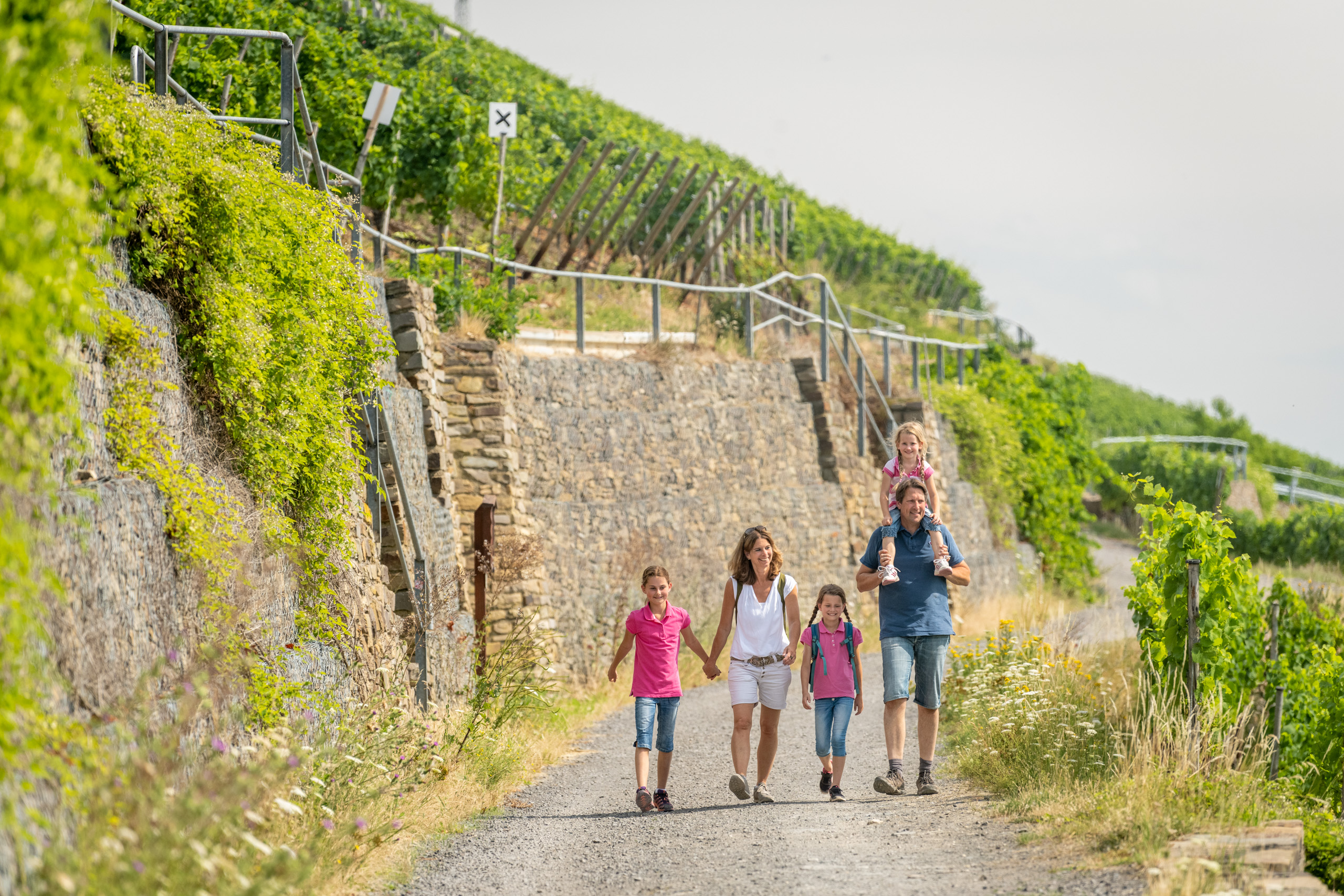
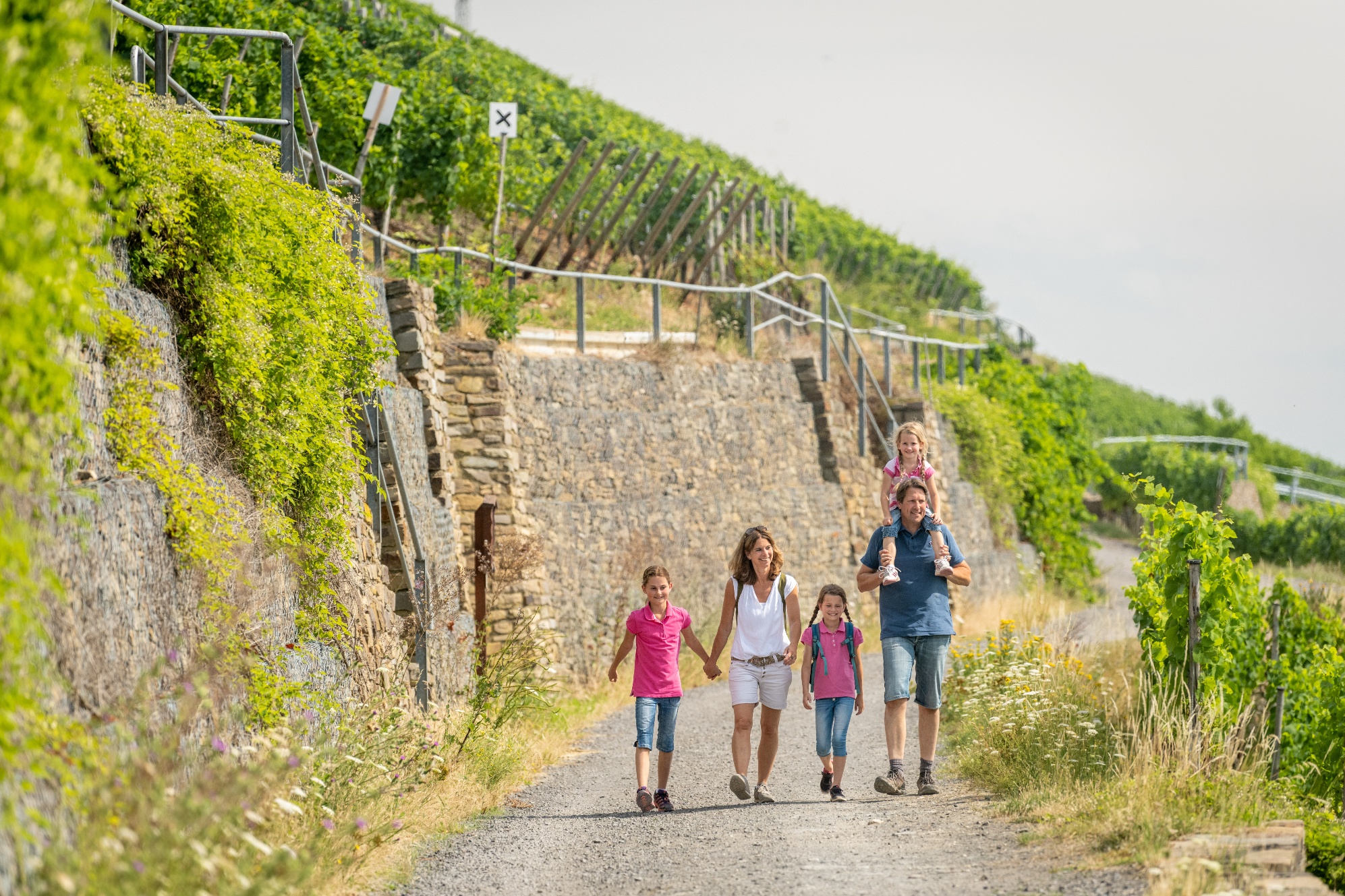
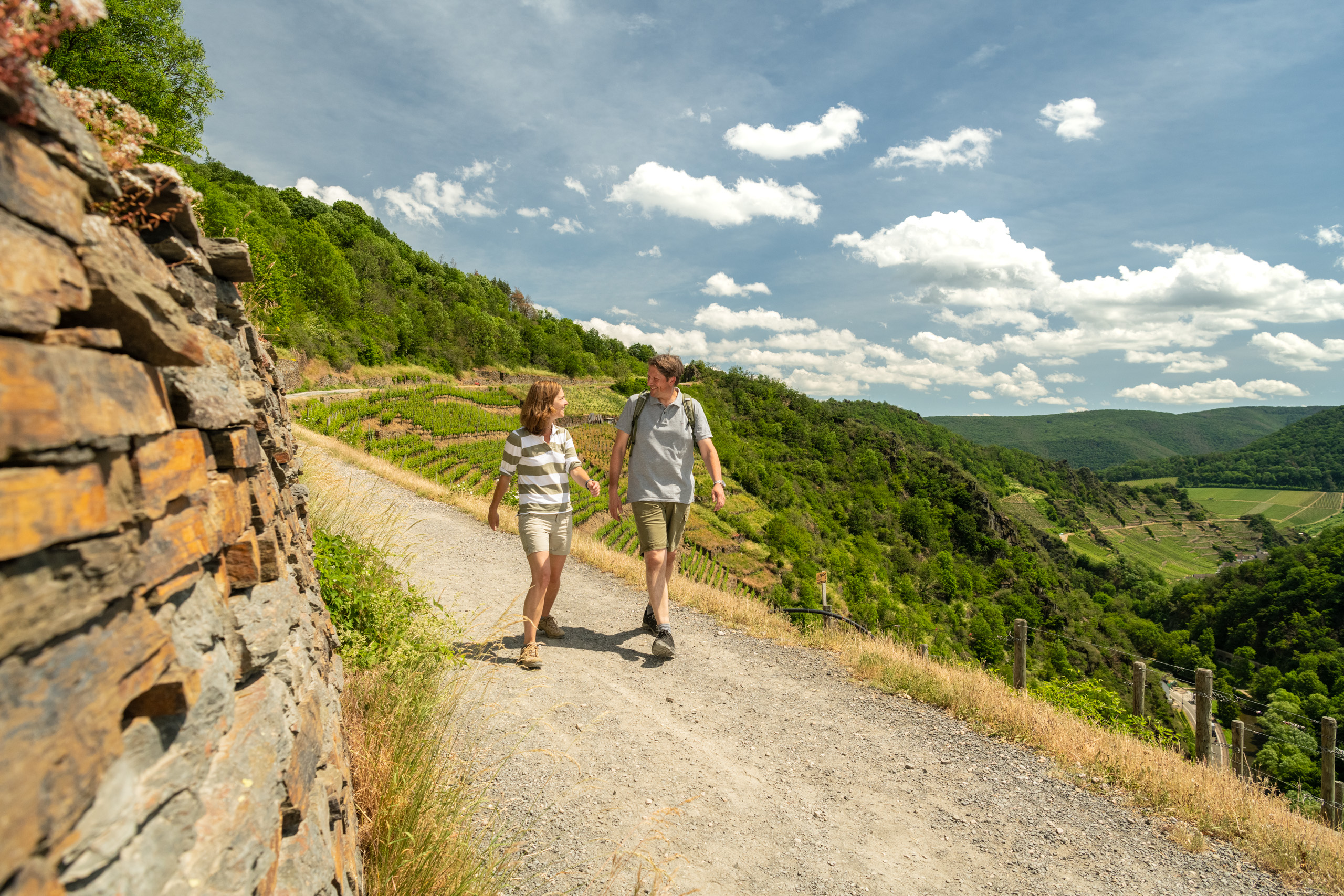
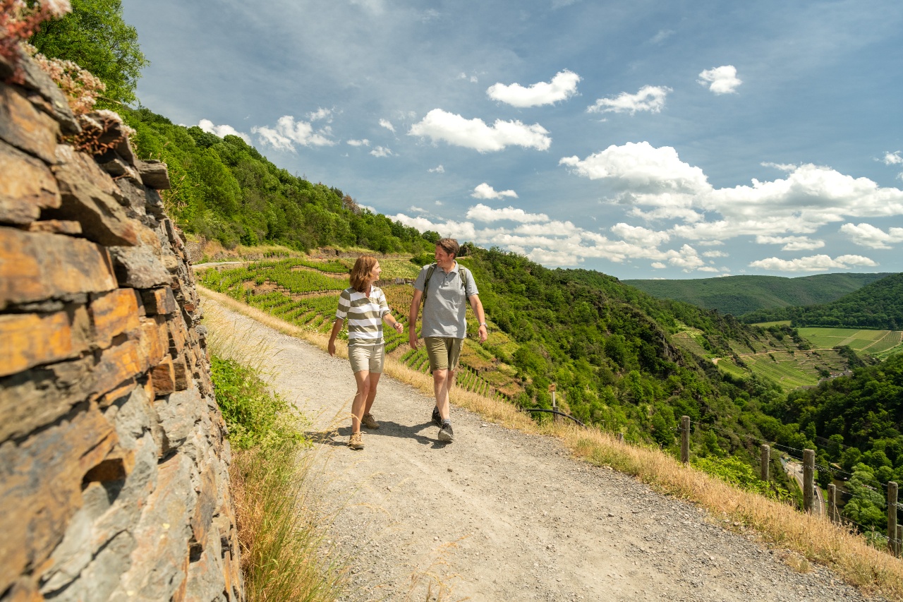
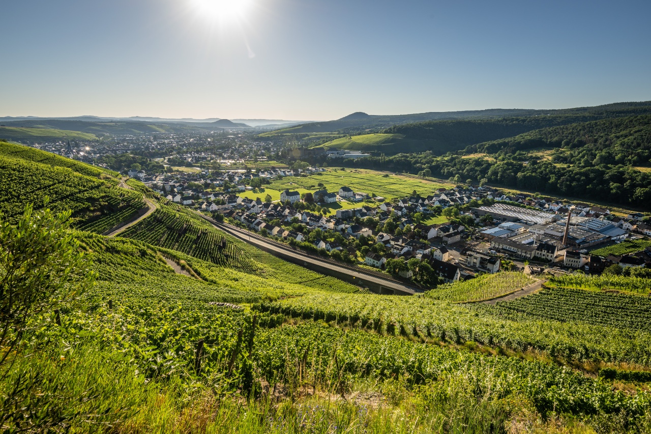
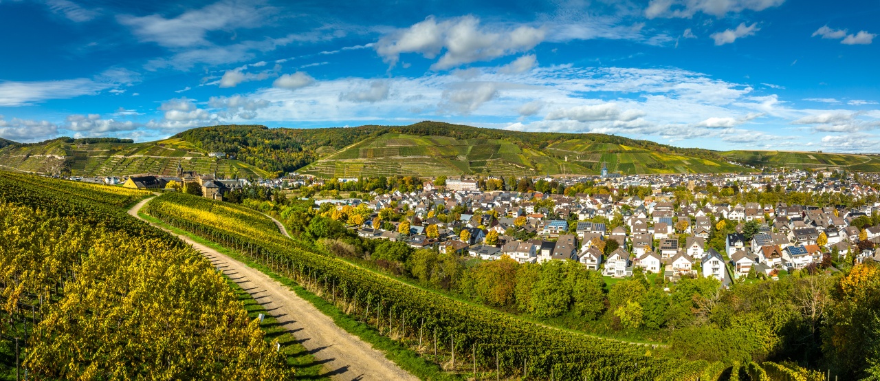
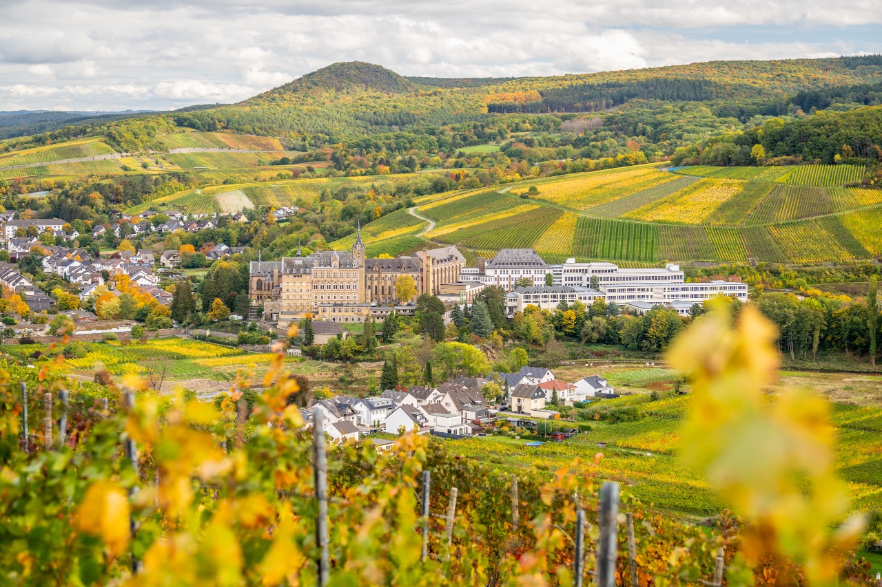
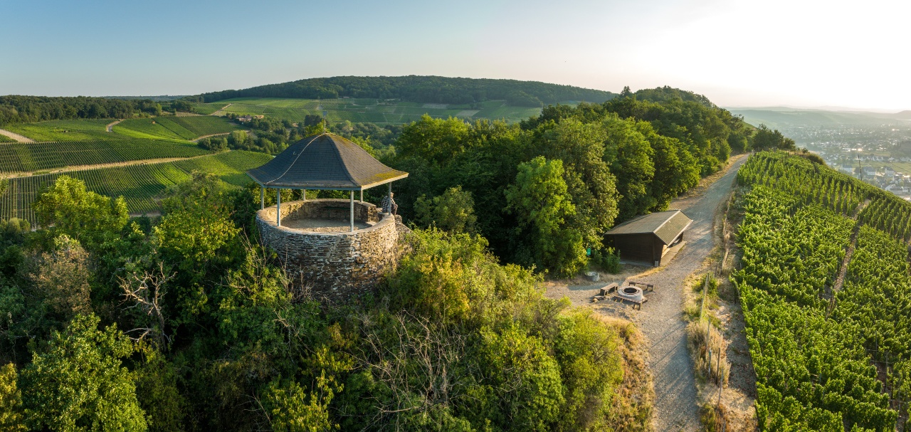
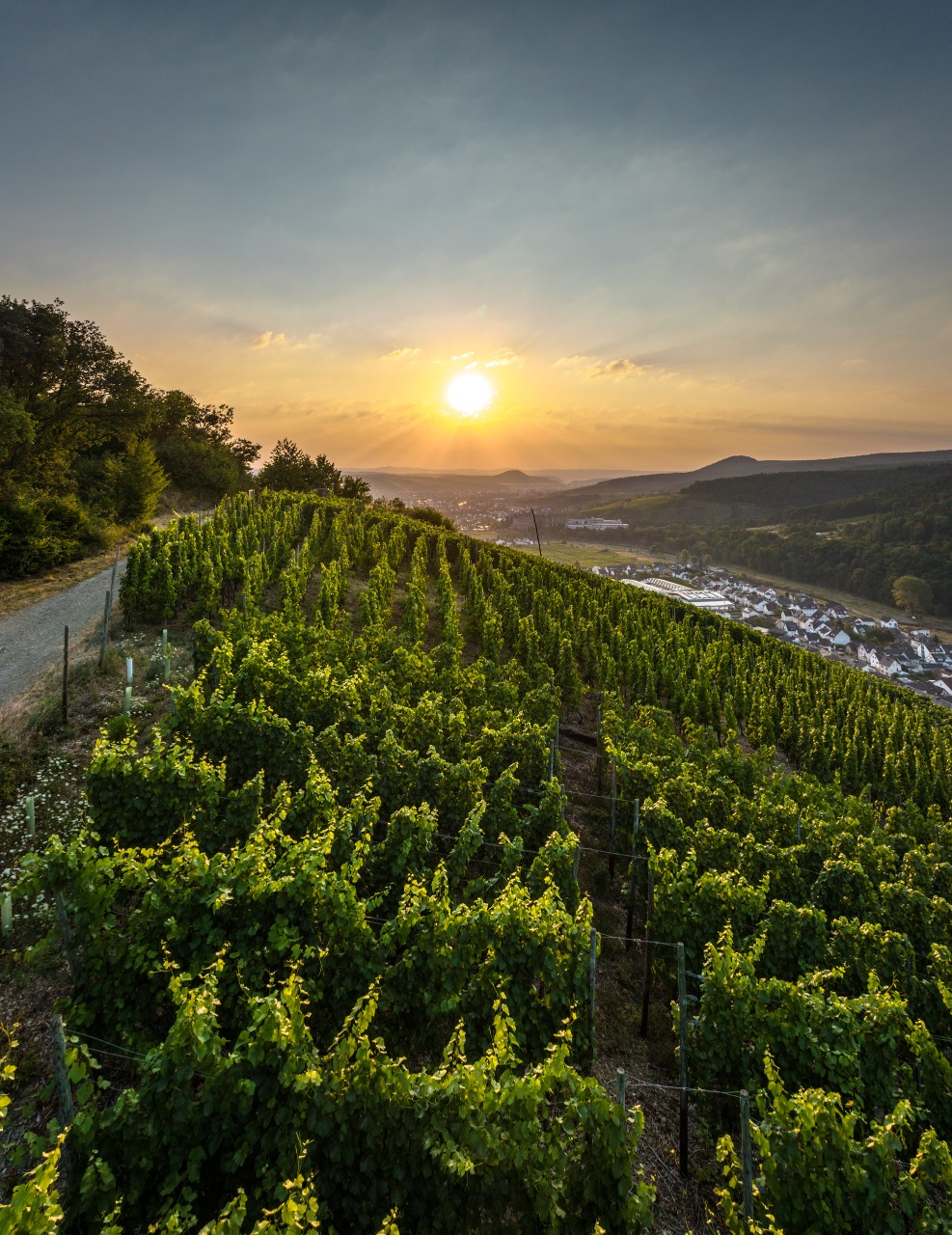
Here you can look over the winemaker's shoulder as he picks the grapes. Watch many hard-working hands at work. What you always wanted to know about the grape harvest...? Talking to the experts in the vineyard will give you the answers. The red wine hiking trail in the Ahr valley makes it possible. Wonderful tours through the vineyard terraces of the red wine paradise not only offer fantastic views. They also provide an insight into one of the most famous red wine-growing regions in Germany. The route through the "paradise of red grapes" is also a local information tour. The picturesque hiking trail leads from Altenahr to Bad Bodendorf, is 35,000 meters long and connects the wine villages above the romantic riverbed of the Ahr.
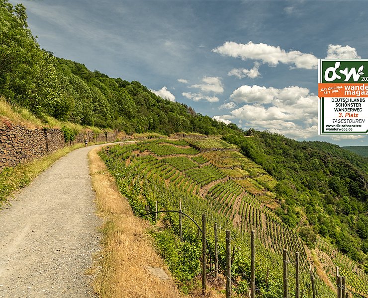
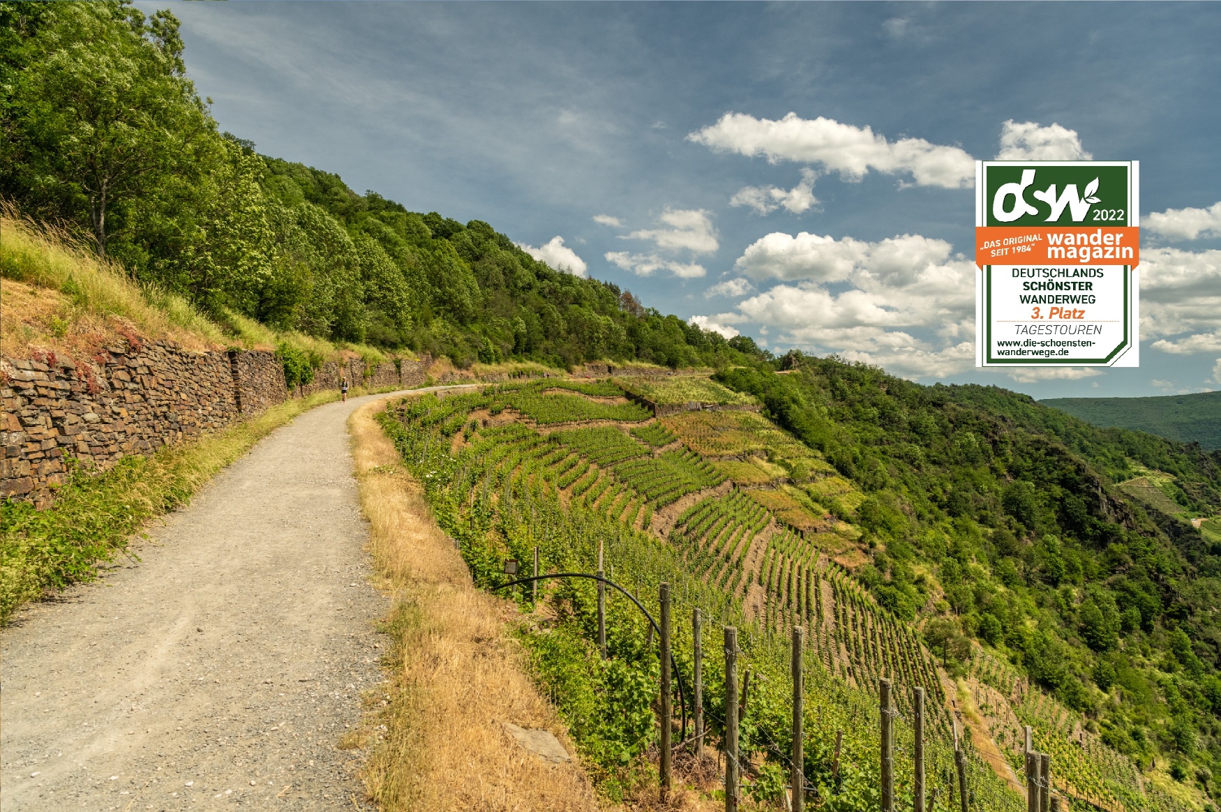
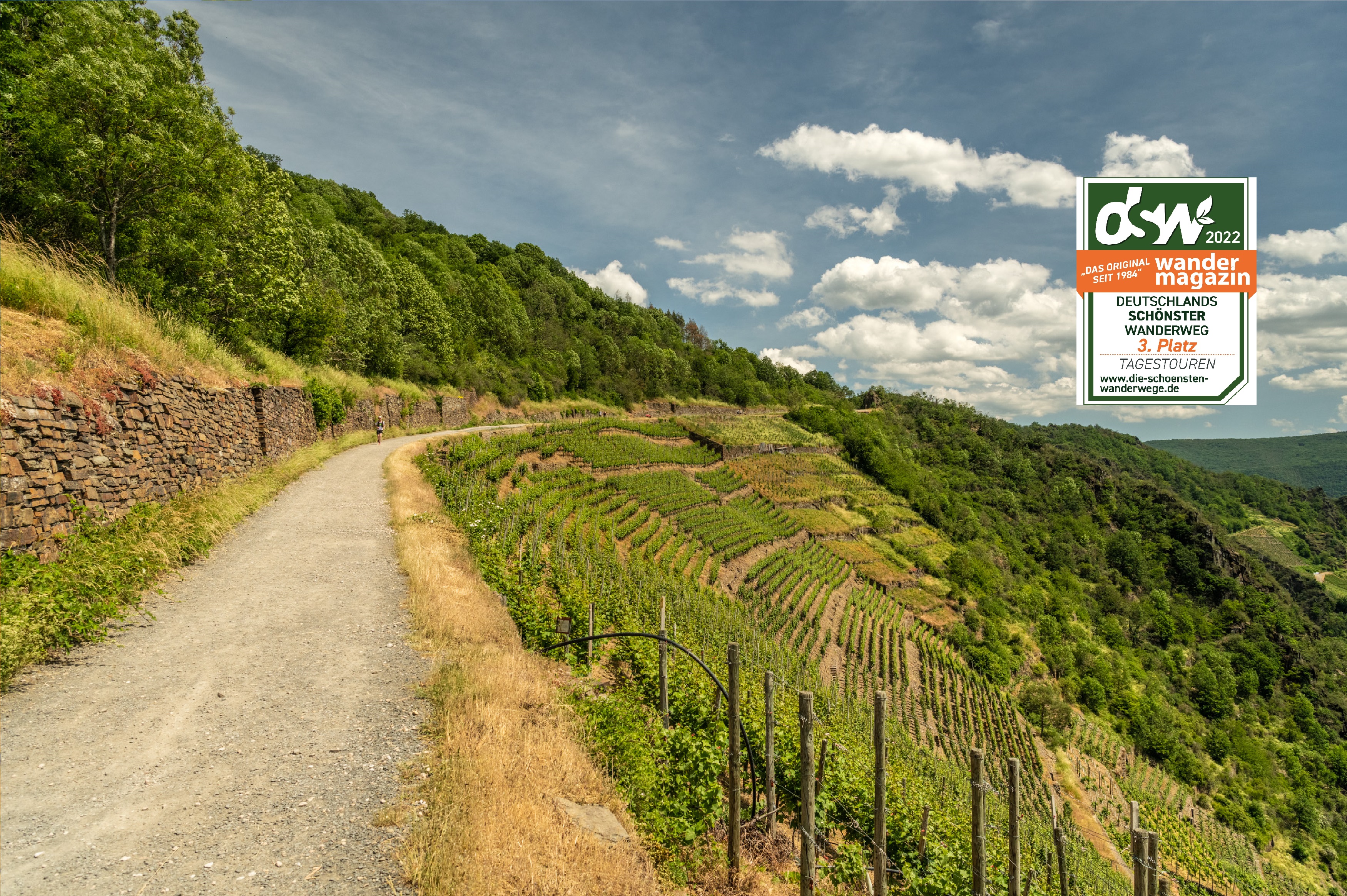
The red wine hiking trail came third in the "Germany's Most Beautiful Hiking Trail 2022" public vote by Wandermagazin in the day tour category!
Stages of the Red Wine Trail:
Altenahr - Mayschoß 4.4 km
Mayschoß - Rech 2.1 km
Rech - Dernau 1.8 km
Dernau - Marienthal 4.2 km
Marienthal - Walporzheim 3.0 km
Walporzheim - Ahrweiler 3.2 km
Ahrweiler - Bad Neuenahr 7.4 km
Bad Neuenahr - Heppingen 3.0 km
Heppingen - Heimersheim 1.2 km
Heimersheim - Lohrsdorf 1.3 km
Lohrsdorf - Bad Bodendorf 4.0 km
From the Altenahr-Mitte bus stop at Altenahr town hall, we follow the signpost to the red wine hiking trail. A red bunch of grapes will show us the way all the way to Bad Bodendorf.
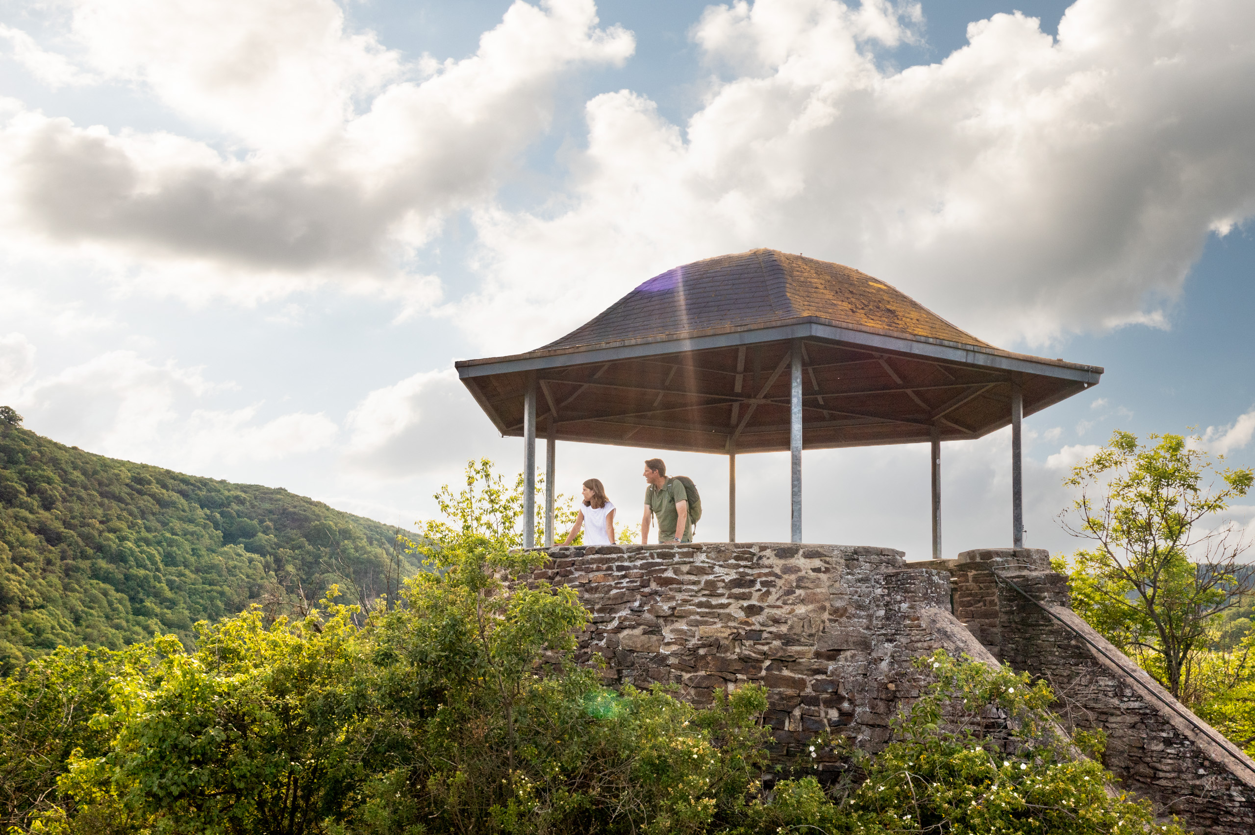
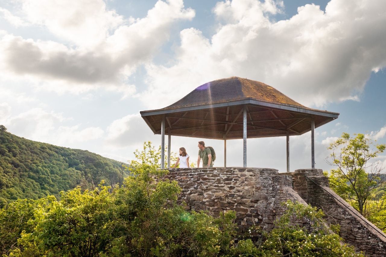
The route initially leads uphill until we find ourselves below Are Castle (1), whose mighty tower towers above the Ahr valley. If we turn right, we follow a winding path up to the ruins 113 m above the valley. From here we have a wonderful view of the river below us. Back on the marked path, we pass the "White Cross". We pass this on the left and follow the fairly wide path uphill. The small St. Michael's Chapel sits enthroned on a ledge high above Mayschoß. We continue parallel to the slope through the forest. At a small tributary of the Ahr, we turn right and follow the stream downhill into the vineyards, the traditional Mayschoß vineyards. Mayschoß is home to the oldest winegrowers' cooperative in the world. On the hill opposite, surrounded by vines, we can see the remains of Saffenburg Castle (2). We walk a little way between the vines until we see the monument to St. Roch, the patron saint of red wine growers, who watches over the vineyards. Continuing to follow the signs, you will pass through a rocky pass shortly before the Heinz-Korbach-Rast viewpoint. With a view of the Ahr loops, we follow the grape markings parallel to the slope through the vineyards. Above Dernau, we finally pass the Dr. Karl Näkel hut. We keep right at the next two forks and finally turn right at a wayside shrine. The winding path leads us over the country road and on through the vineyards until we finally reach the first houses of Dernau.
We continue to follow the waymarking, which leads us past the wine village above and over vineyards to Marienthal. In the north of Marienthal, we pass an old bunker. At the monastery ruins, we turn left uphill and climb the Trotzenberg via serpentines. Passing the farms "Försters Wein-Terrassen" and the Altenwegshof, it is worth making a detour to the "Bunte Kuh" observation tower.
At the "Hohenzollern" hotel, we finally reach the wine-growing nature trail (3), where 31 display boards provide information about wine-growing in the Ahr valley. We continue to follow the signs and pass the Roemervilla Museum (4) at the entrance to Ahrweiler. There you can marvel at the remains of an old Roman villa. Here we have covered about half of the total distance. Above Ahrweiler, we continue through the vineyards and along the Silberberg and pass the "Middle Rhine Rope Park". After a short detour, we reach a beautiful vineyard chapel.
Above the twin town of Bad Neuenahr-Ahrweiler, we follow the signs, cross the A573 highway on a bridge and continue eastwards along the slope. Shortly before the A61, we pass the Apollinaris fountain (5) at the company of the same name, from where the famous mineral water is distributed all over the world. We can now see the Landskrone ruins (6) on the basalt cone near Heppingen, visible from afar. The "Heppinger Brunnen" is located at the foot of the 270 m high mountain. Here, residents of the surrounding communities can help themselves to Apollinaris healing water free of charge.
Above Heimersheim, the route then continues via Lohrsdorf, mostly along the edge of the forest. We finally reach the train station in Bad Bodendorf on the Heerweg. The Red Wine Trail can of course also be hiked from here.
Stages of the red wine hiking trail:
- Altenahr - Mayschoß 4.4 km
- Mayschoß - Rech 2.1 km
- Rech - Dernau 1.8 km
- Dernau - Marienthal 4.2 km
- Marienthal - Walporzheim 3.0 km
- Walporzheim - Ahrweiler 3.2 km
- Ahrweiler - Bad Neuenahr 7.4 km
- Bad Neuenahr - Heppingen 3.0 km
- Heppingen - Heimersheim 1.2 km
- Heimersheim - Lohrsdorf 1.3 km
- Lohrsdorf - Bad Bodendorf 4.0 km
- ZG Vielseitig Aktive (L)
- ZG Aktive Naturgenießer (L)
- ZG Kultur- und Landschaftsliebhaber (L)
- ZG Nur Wanderer (L)
- ZG Städte-Genießer (L)
- Route tour
- Family friendly
- Culture highlight
- Refreshment stop
- promising
- Hiking
- Back for you

source
Ahrtal-Tourismus Bad Neuenahr-Ahrweiler e.V.
·
Author:
Michelle Harrichhausen
















