 EN
EN

Fernwanderweg
AhrSteig Stage 5: Kreuzberg to Walporzheim (15.3 km)
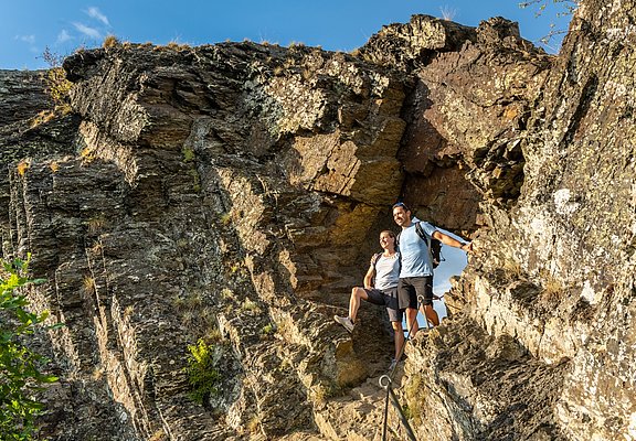
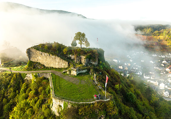
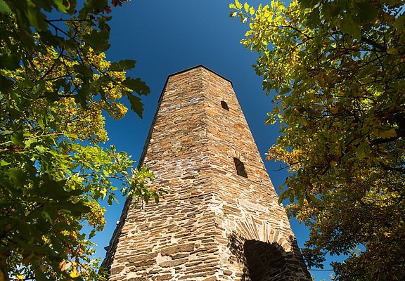
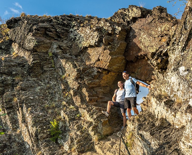
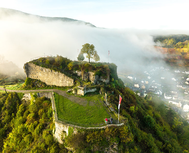
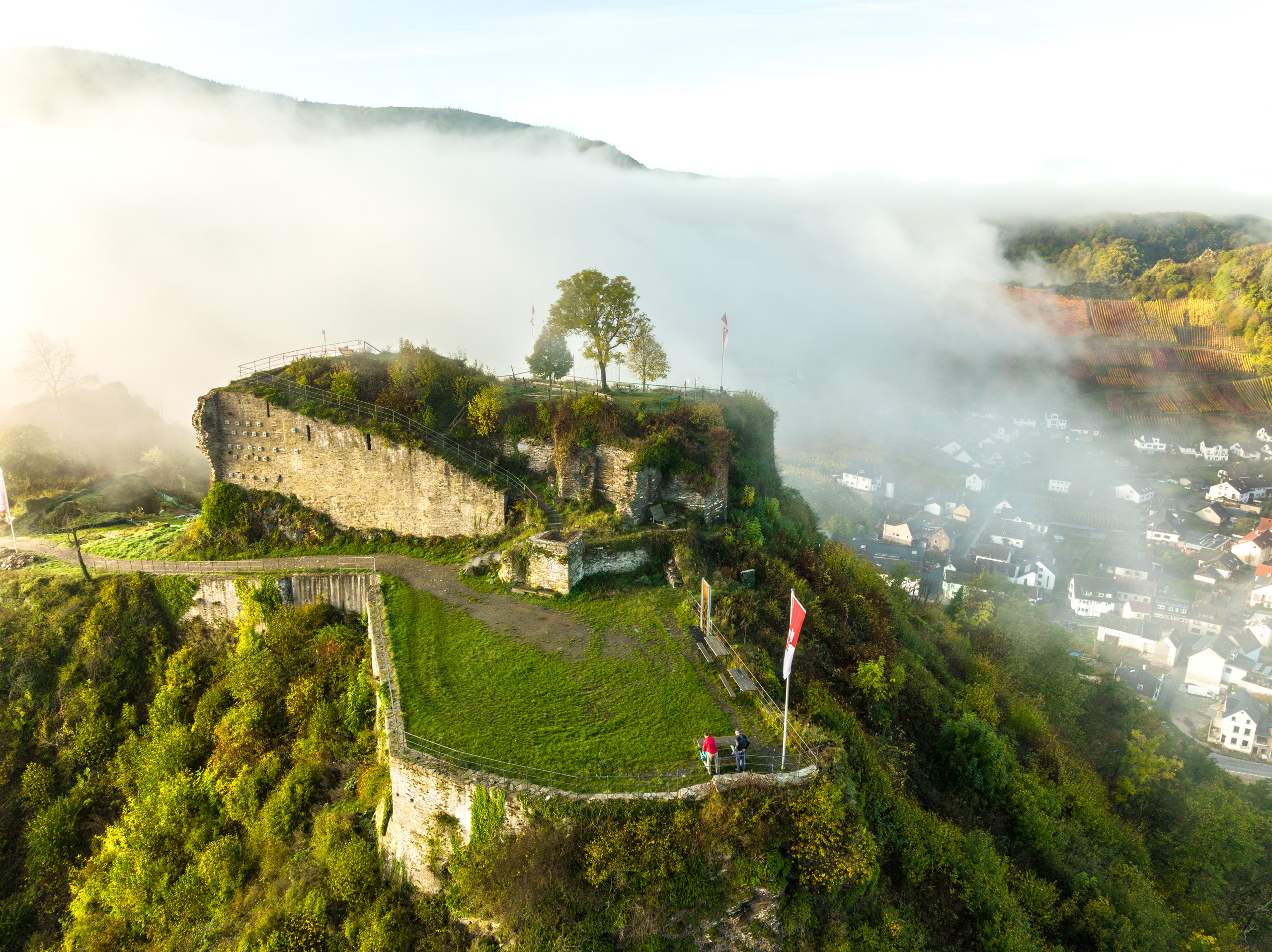
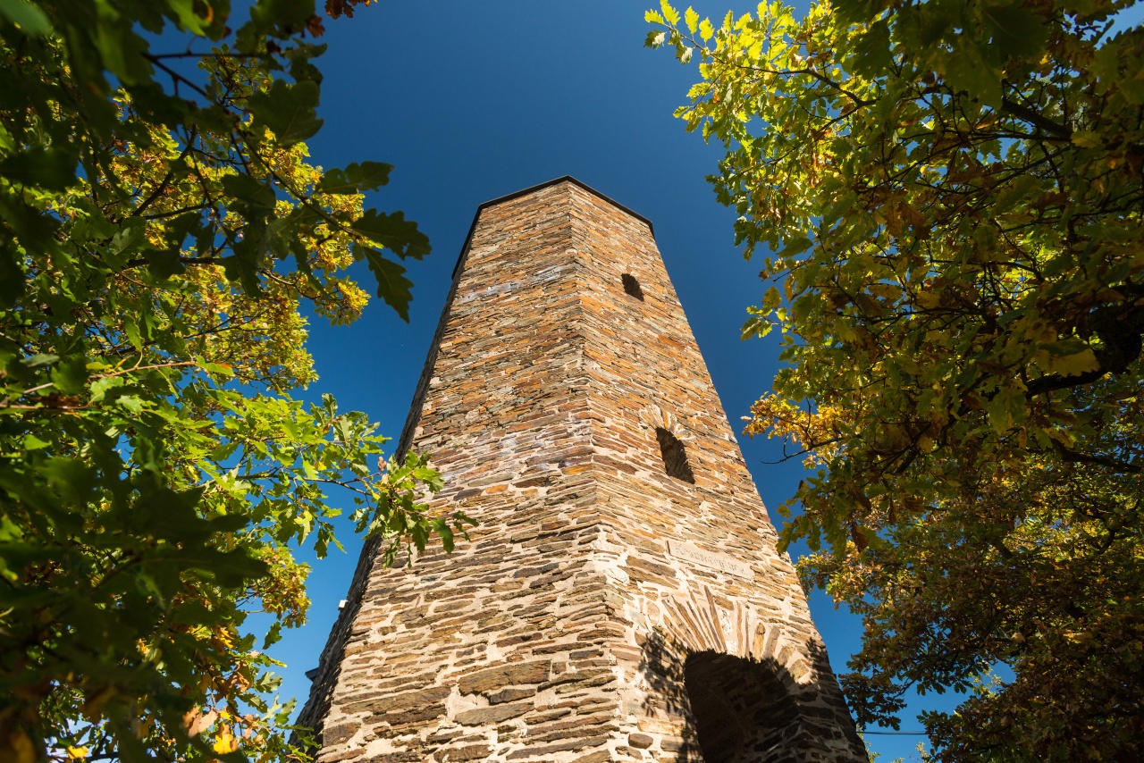
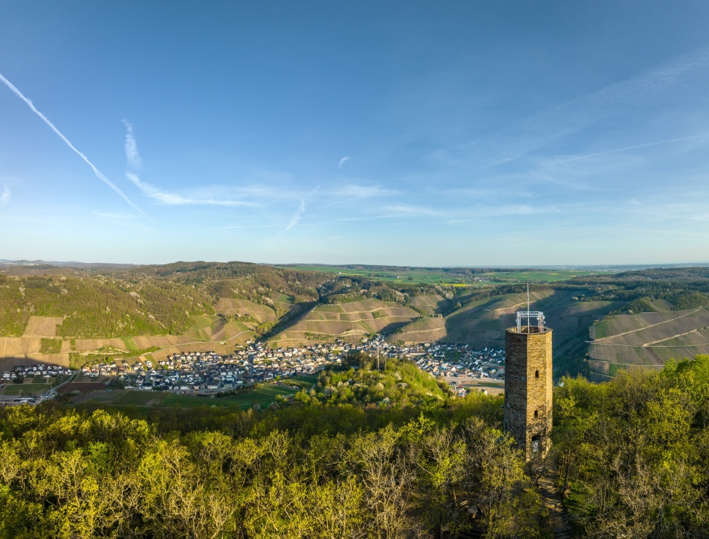
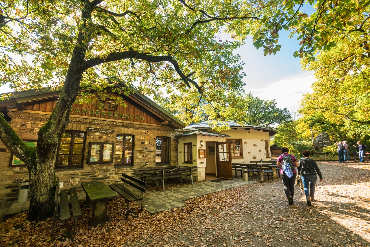
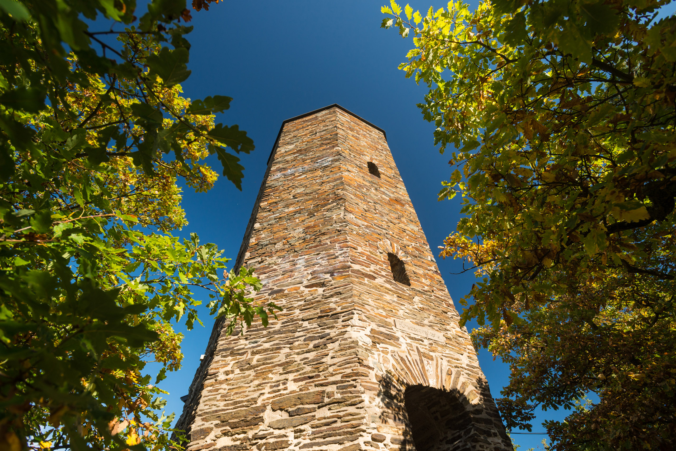
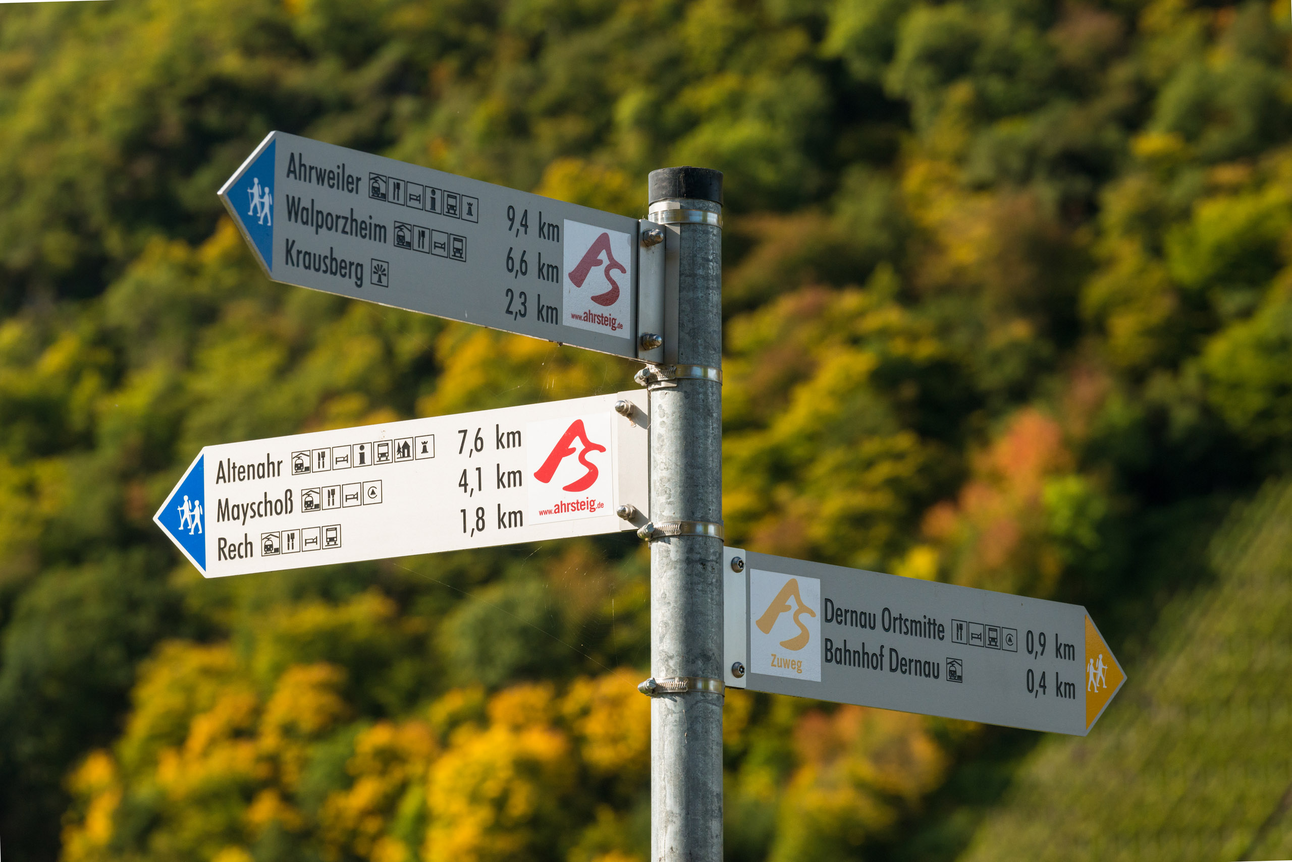
With a view of Kreuzberg Castle, the trail first leads uphill on a narrow path. The Devil's Hole and the village of Altenahr can be reached via the marked access path. The detour to the Devil's Hole is worthwhile. Surefootedness is required on the section through the adventurous rocky landscape around the Devil's Hole. Back on the AhrSteig, the path runs steadily uphill to the Schrock. A narrow path leads to the Schrock lookout point. With a view of Mayschoß, the trail runs between forest and vines past the Saffenburg ruins to Rech. The detour to the Saffenburg ruin is rewarded with a magnificent 360° panoramic view. In Rech, winegrowers' farms and wine taverns invite you to linger before the path first leads into the vineyards with their magnificent views, then continues along forest paths in the direction of Dernau. The landmark of Dernau, the Krausberg, is reached via a rocky path with an ascent. From the Krausberg tower you have a magnificent panoramic view far beyond the heights of the Ahr. Through mixed forest, over a serpentine path downhill, past the rocky outcrop "Bunte Kuh" on the opposite side, the stage destination Walporzheim is reached.
Between Altenahr and Mayschoß there is no access from the Ahr.
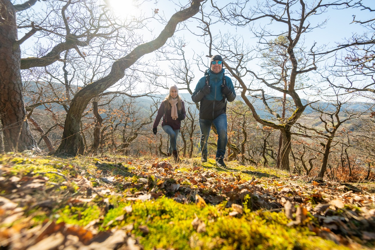
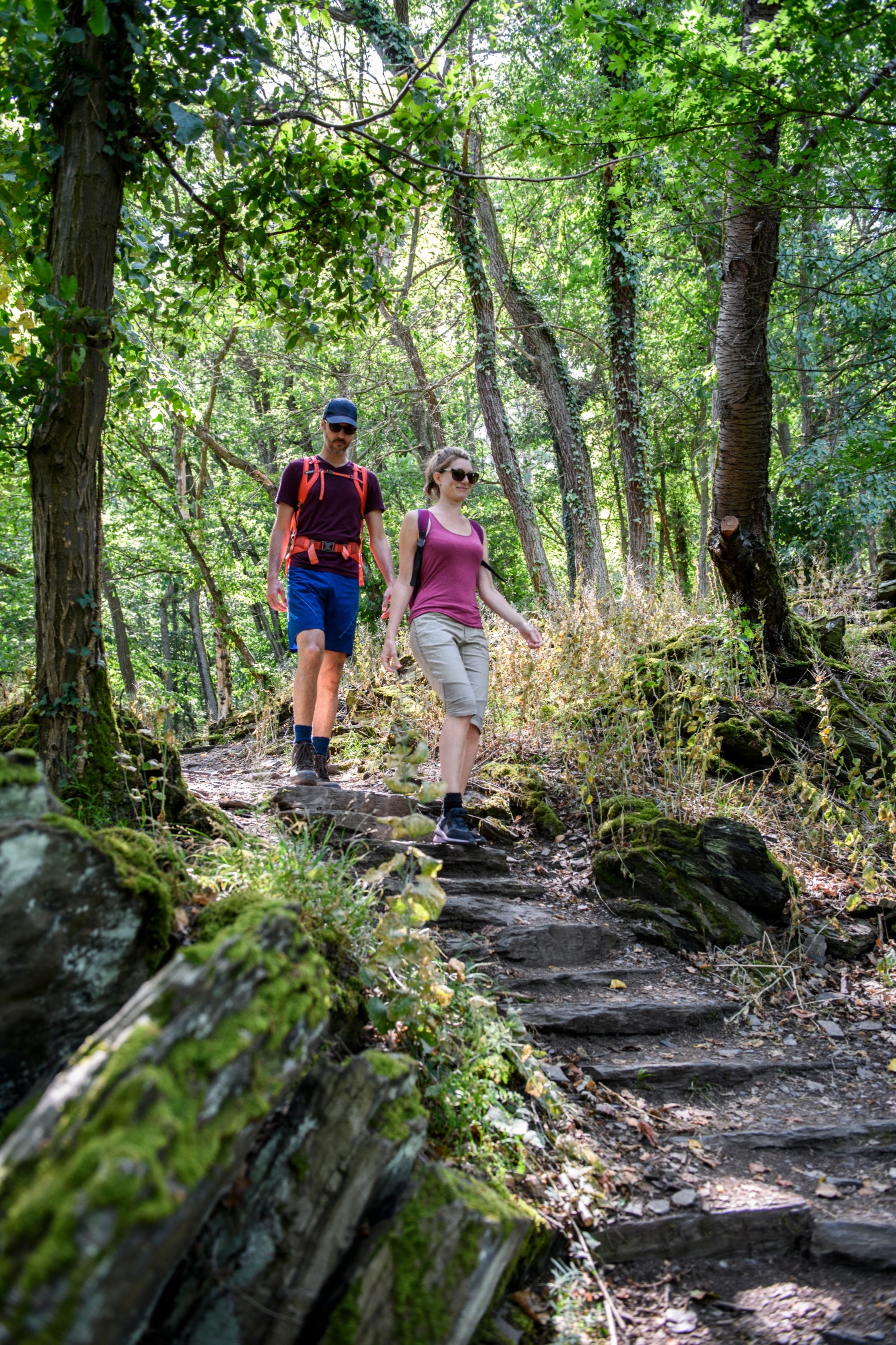
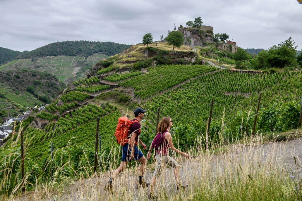
“Rocks, castles, water and wine” – this stage leads through one of the most beautiful areas of the middle Ahr valley and offers breathtaking views into the wine-growing Ahr valley and far beyond the Ahr Heights. With the Devil's Hole and Schrock, the Saffenburg and the Krausberg, the stage unites spectacular views around the Ahr mountains. Over natural trails the path partly has the character of a steep trail and therefore demands surefootedness and good fitness from the hiker.
Current route info:
Stage 5 & 6: Detour between Alfred Dahm Tower and Ahrweiler (Status 1/24)
In the Walporzheim area between Alfred Dahm Tower and Ahrweiler, the AhrSteig is detoured due to construction work and flood damage. Please follow the detour signs. The digital route course including the GPX data has been adjusted accordingly!
With a view of Kreuzberg Castle, you go over Bahnhofstraße and the Ahr bridge to 500 m immediately behind the former railway crossing, then right on a narrow forest path up to Lingenberg. The path leads through abandoned vineyards to a small roadside chapel – with a view of the left Ahr heights and the starting point at Kreuzberg station – then continues in a left curve below the Horn down to the outskirts of Altenburg.
On the top left, you can already see the next destination, the rock ridge with the Devil's Hole, and after a short climb, you reach the wayside cross above the Altenahr youth hostel. Here the path forks.
Tip: The Devil's Hole and Altenahr can be reached via a marked access path
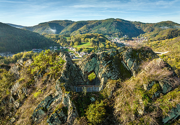
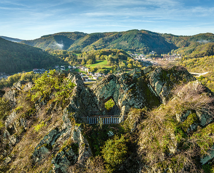
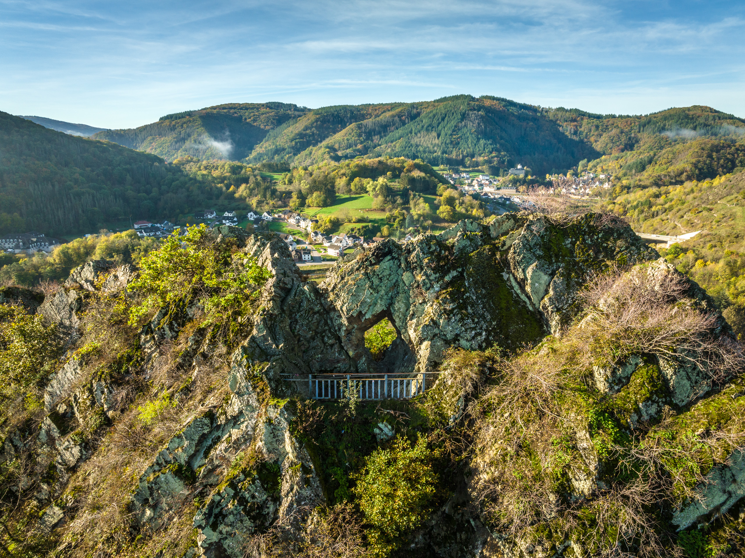
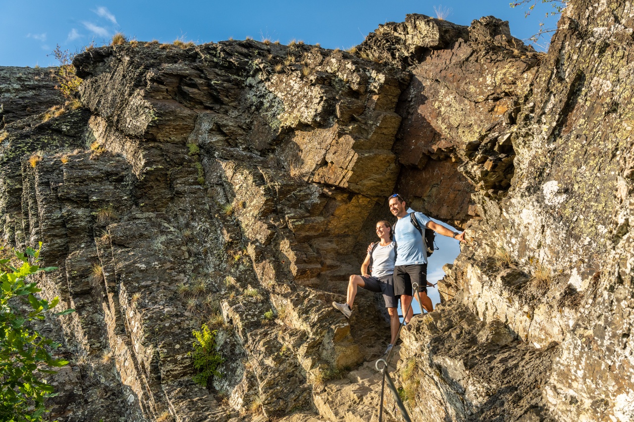
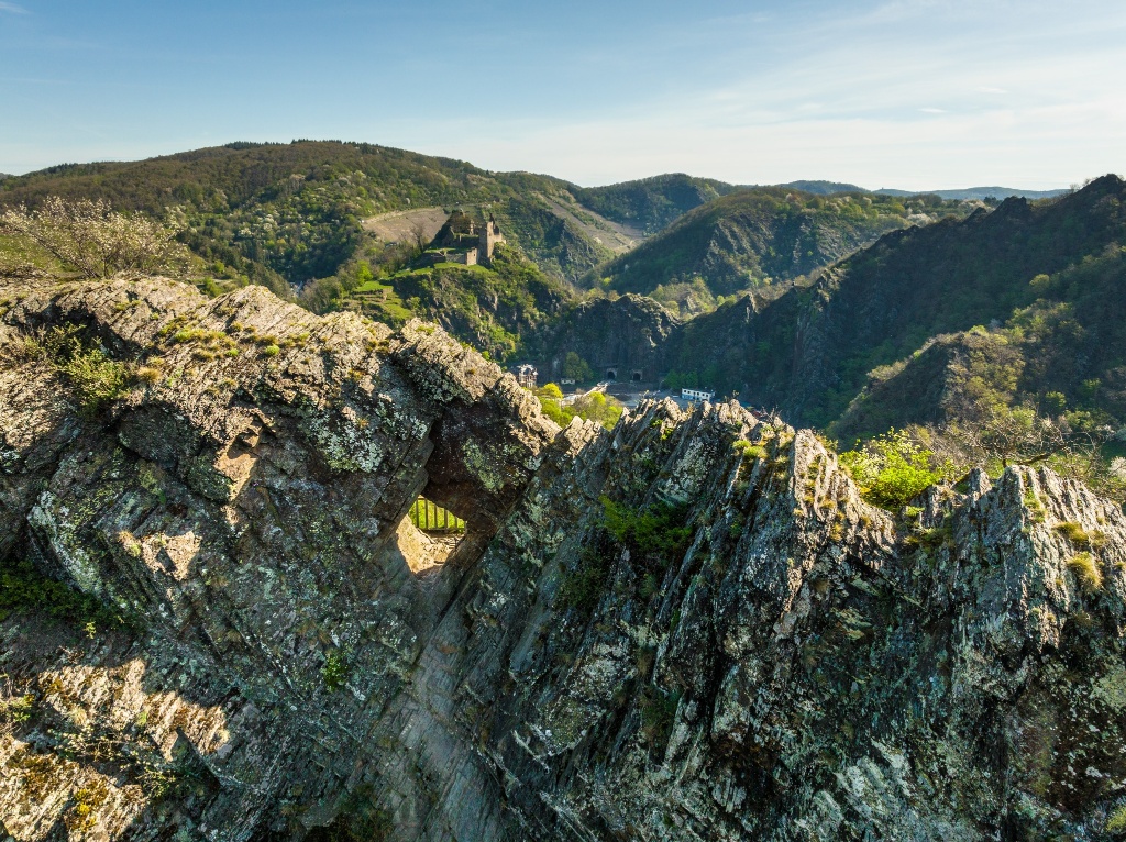
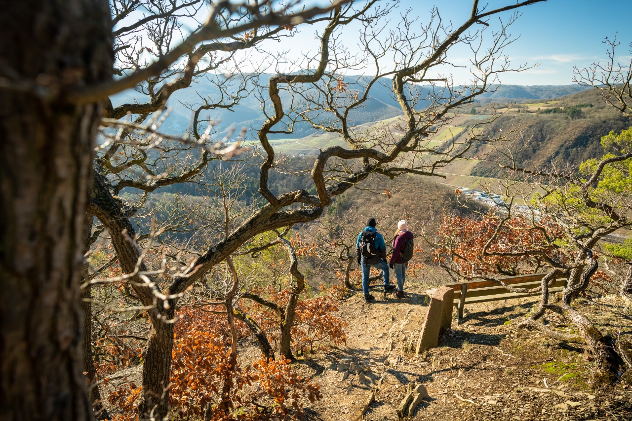
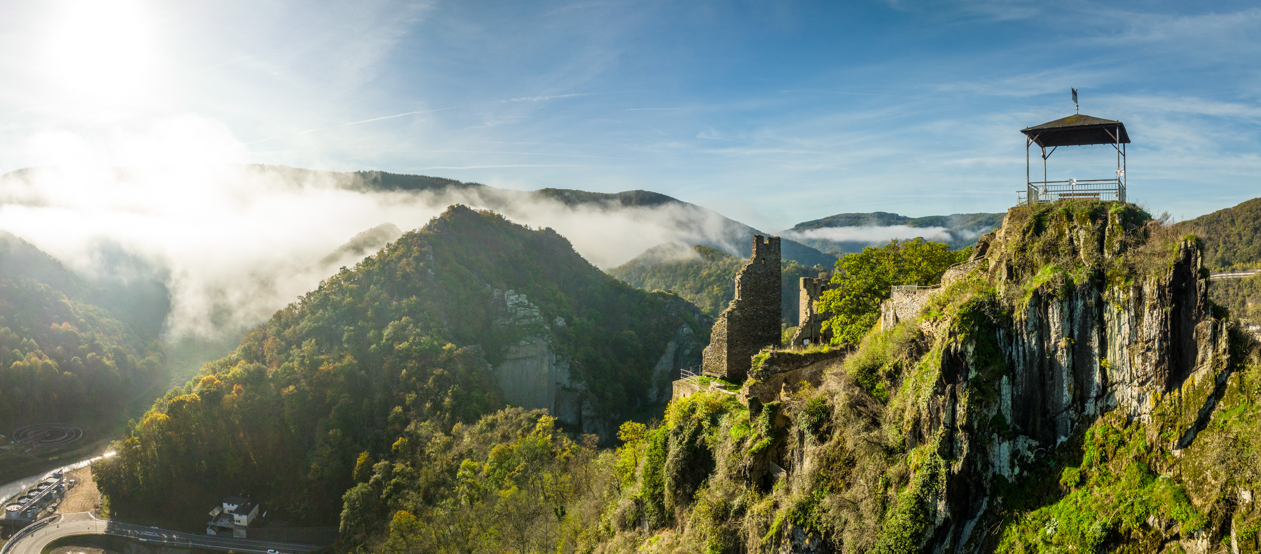
The detour to the Devil's Hole is worth it! On a narrow path, you continue left at the fork, first in several loops upwards, then along the rock ridge after a rock saddle. Wonderful views of Altenburg and Kreuzberg and the already walked area accompany the path. After 400 m, the turnoff to the Devil's Hole is reached. The detour to the Devil's Hole branches off right from the path, initially over irregular steps with a short climbing part, over a rock path through the rock hole. From the Devil's Hole, there is a breathtaking view of Altenahr, Are Castle, the Ahr loop with the Langfig valley, the opposite Engelsley, and in the distance behind it the Krausberg Tower.
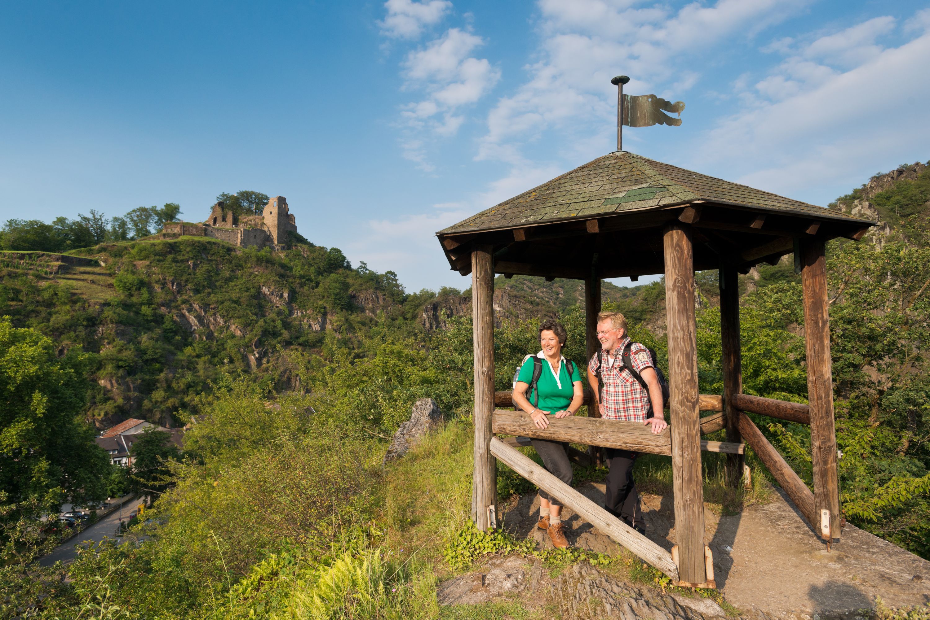
Back on the AhrSteig, the path steadily climbs until the turnoff to the Schrock viewpoint. The short detour to the viewpoint with a small shelter should definitely be planned.
The path continues towards Mayschoß. Through forest paths, the vineyards of Mayschoß are reached. Between forest and vines, the path passes the Saffenburg ruin on the way to Rech.
From the Saffenburg ruin, there is a magnificent panoramic view of Mayschoß, the Ahr river course, and the surrounding towns.
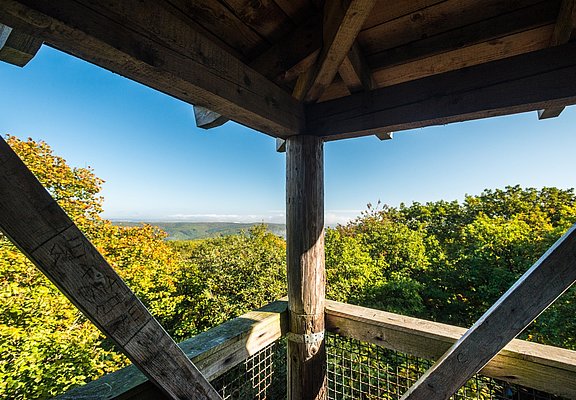
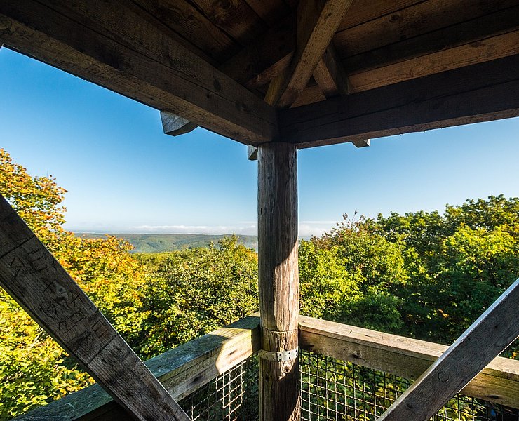
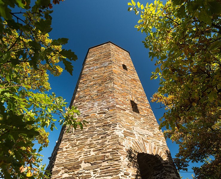
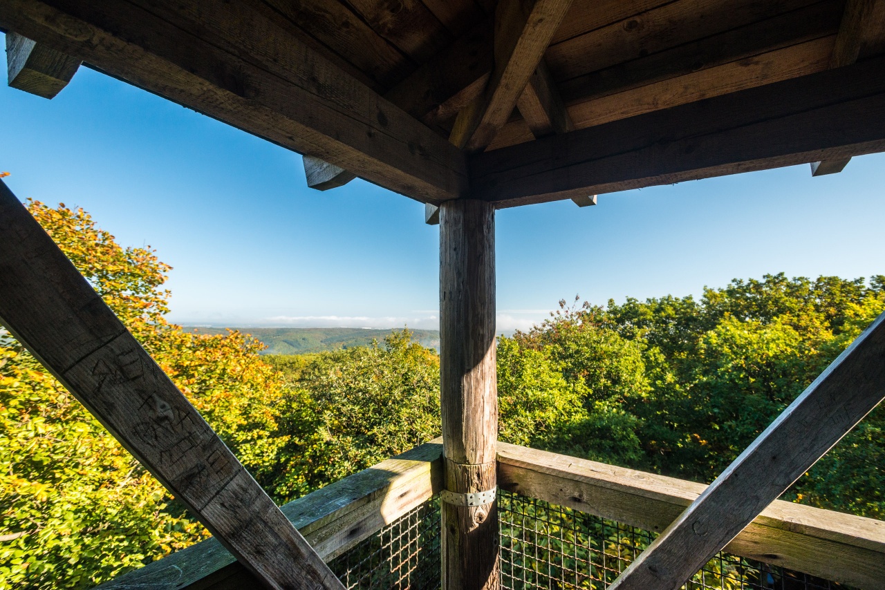
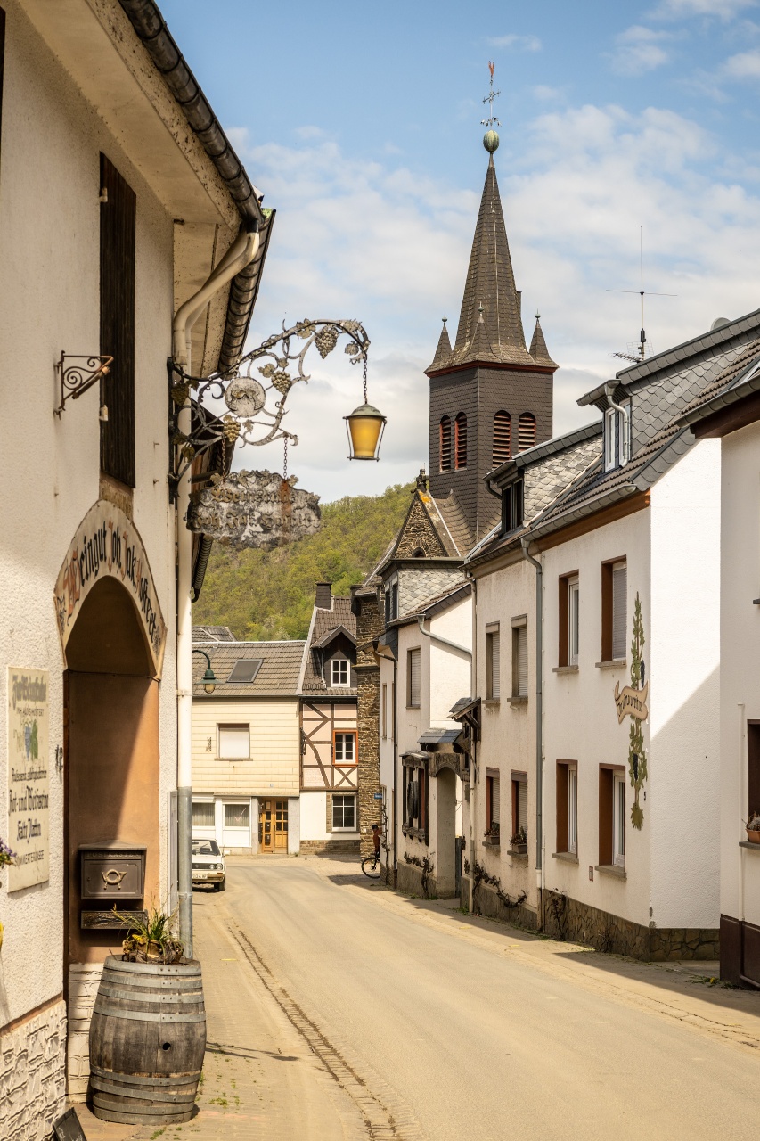
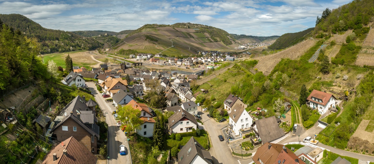
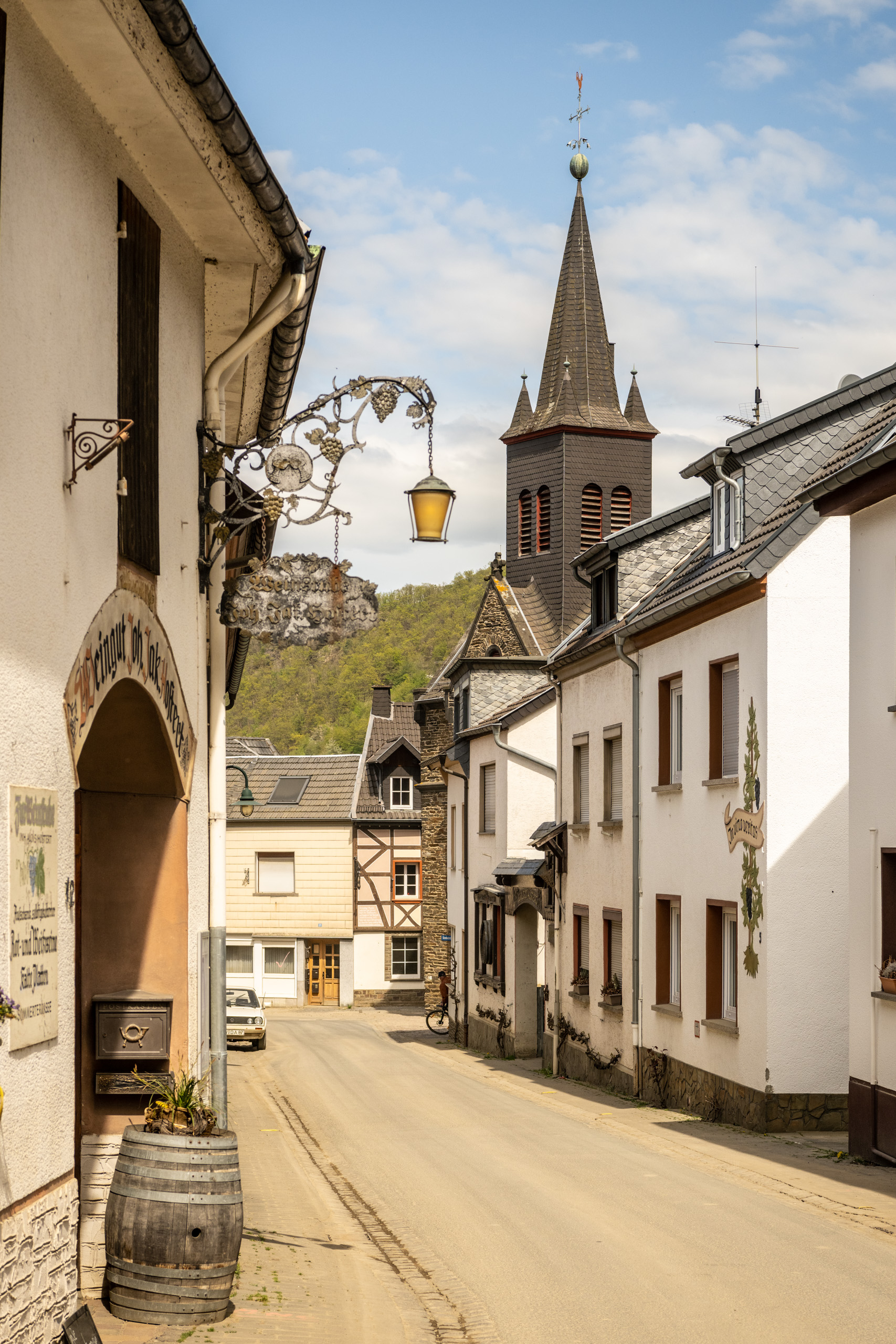
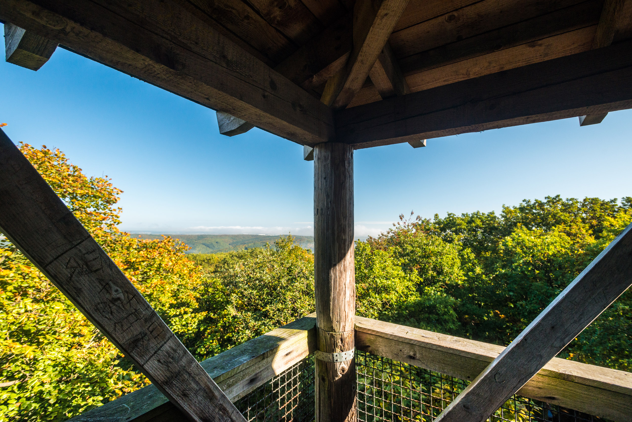
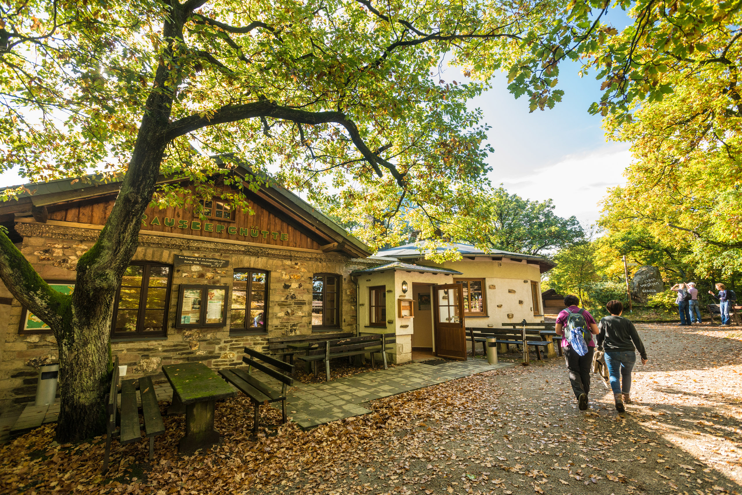
Upon arriving in Rech, the path leads left at the Bären fountain into the town center. Passing taverns and wineries, it soon turns right, through narrow, winding alleys and up stairs into the vineyards. The path passes by the well-known lettering with the name of the town. From the vineyards there is a wide view over the wine village of Rech. Through forest paths, the AhrSteig continues towards Dernau to the Krausberg. Along a trail that at the end leads briskly uphill through rocks – past a viewpoint – the Krausberg is reached. From the Krausberg Tower, there is a spectacular 360° panoramic view, with good visibility up to Cologne Cathedral.
The remaining 4 km section now leads through mixed forest to the Alfred Dahm Tower; from this tower, erected in 1929 in honor of the founder of the Eifelverein Ahrweiler, you look across to the Siebengebirge on the right bank of the Rhine. The path continues southwards towards the Heckenbach valley and meets at the Geusbach the 6th stage of the AhrSteig. Here, the descent through the Heckenbach valley towards the temporary bridge in Walporzheim is possible.
With a view of Kreuzberg Castle, the route crosses Bahnhofstraße and the Ahrbrücke bridge after 500 metres immediately behind the former railway crossing, turning right onto a narrow forest path up to Lingenberg. The path leads through abandoned vineyards to a small wayside chapel - with a view of the left-hand Ahr heights and the starting point at Kreuzberg railway station - then continues in a left-hand bend below the Horn down to the outskirts of Altenburg.
At the top left you can already see the next destination, the rocky ridge with the Teufelsloch (Devil's Hole), and after a short climb you reach the crossroads above the Altenahr youth hostel. The path forks here.
Tip: Teufelsloch and Altenahr can be reached via a marked access path
The detour to the Devil's Hole is well worth it! Continue along the narrow path to the left at the fork, first upwards in several loops, then along the rocky ridge after a rocky embrasure. The path is accompanied by marvellous views of Altenburg and Kreuzberg and the area you have already hiked through. After 400 metres, you reach the turn-off to the Teufelsloch. The detour to the Devil's Hole leads off to the right of the path, initially over irregular steps with a short climbing section, along a rocky path through the rocky hole. The Teufelsloch offers a breathtaking view of Altenahr, Are Castle, the Ahr loop with the Langfigtal valley, the Engelsley opposite and the Krausberg tower in the distance behind it.
Back on the AhrSteig trail, the path leads steadily uphill to the turn-off to the Schrock viewpoint. The short detour to the viewpoint with its small refuge should definitely be planned in.
The trail continues in the direction of Mayschoß. The vineyards of Mayschoß are reached via forest paths. Between forest and vineyards, the trail leads past the Saffenburg ruins to Rech.The Saffenburg ruins offer a magnificent panoramic view of Mayschoß, the course of the River Ahr and the surrounding villages.
On arrival in Rech, the path leads left at the Bären fountain into the centre of the village. Passing ostrich taverns and wineries, it soon turns right, through narrow, winding alleyways and up steps into the vineyards. The path runs past the well-known sign with the name of the village. From the vineyards, there is a wide view over the wine village of Rech. The AhrSteig runs along forest paths in the direction of Dernau to the Krausberg. The Krausberg is reached via a path that leads quickly uphill through rocks at the end - past a viewpoint. The Krausberg tower offers a spectacular 360° panoramic view, with good visibility as far as Cologne Cathedral.
The remaining 4 km section of the trail now leads through mixed forest to the Alfred Dahm Tower; from this tower, built in 1929 in honour of the founder of the Eifelverein Ahrweiler, you can look across to the Siebengebirge mountains on the right bank of the Rhine. The trail now continues south towards Heckenbachtal and meets the 6th stage of the AhrSteig at Geusbach. Here you can descend through the Heckenbachtal valley towards the temporary bridge in Walporzheim.
- ZG Vielseitig Aktive (L)
- ZG Aktive Naturgenießer (L)
- ZG Kultur- und Landschaftsliebhaber (L)
- ZG Nur Wanderer (L)
- ZG Städte-Genießer (L)
- Long-distance hiking trail
- Geological highlights
- Refreshment stop
- promising
- Hiking

source
Ahrtal-Tourismus Bad Neuenahr-Ahrweiler e.V.
·
Author:
Hans-Joachim Schneider
















