 EN
EN

Tour
Remagen circular hiking trail A2 - Auf Kirres
We start at the hiking parking lot "Monte Klamotte." At an information board of the Remagen Beautification Association, we can see the route of path A2 that we want to take. The hiking trail A2 is well signposted in both clockwise and counterclockwise directions.
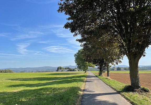
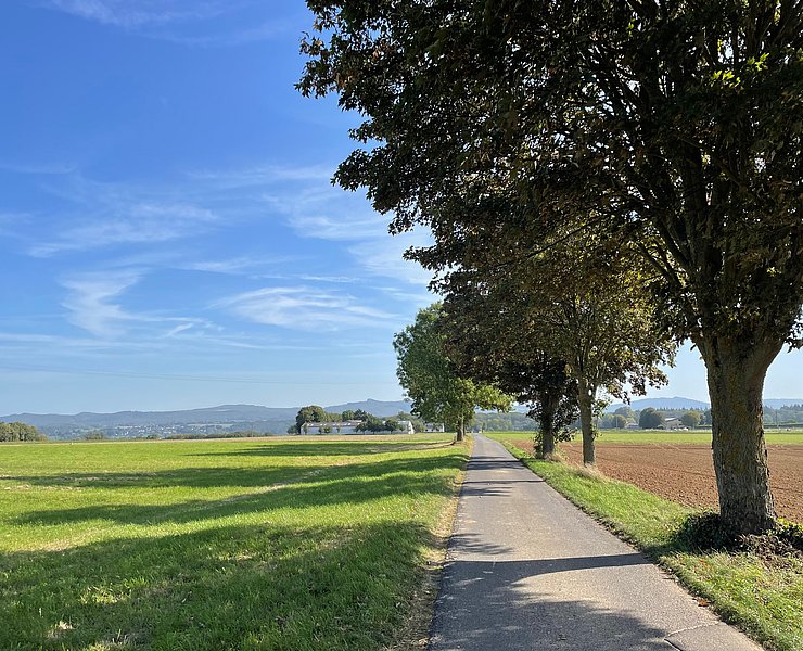
This description is given counterclockwise. We walk back from the parking lot to Waldburgstraße. We follow it to the left. Along the horse paddocks and agricultural fields, the path goes on an asphalt road. From Fronhof, we have a wonderful view northwards over the Rhine Valley to Rolandsbogen, Drachenburg, the castle ruins on Drachenfels, and the Siebengebirge. Further over the heights "Auf Kirres," it goes westwards until the signage leads us downhill to the left. At the second right curve, we leave the asphalt road to the left. Through mixed coniferous and deciduous forest, we go slightly uphill to a crossroads.
There, the signage leads us left up a short ascent. On the height of "Reisberg," it then passes a Jewish cemetery back to the starting point.
- Round trip
- Hiking trail
- Hiking

source
Mittelrhein
·
Author:
Tourist-Information Remagen
















