 EN
EN

Fernwanderweg
RheinBurgenWeg 01. Stage Rolandsbogen - Remagen (North-South)
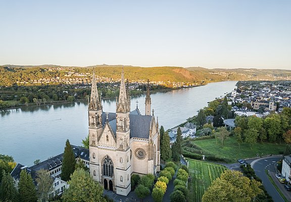
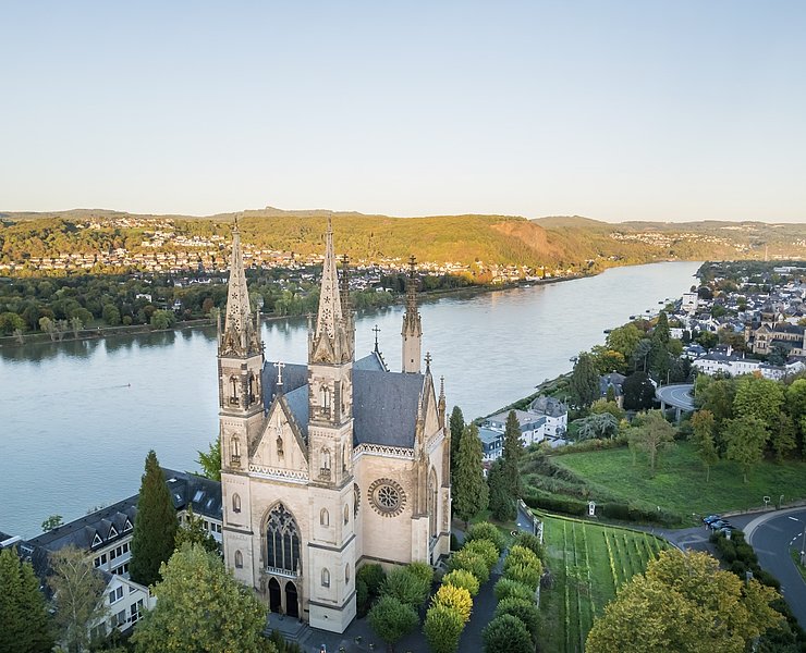
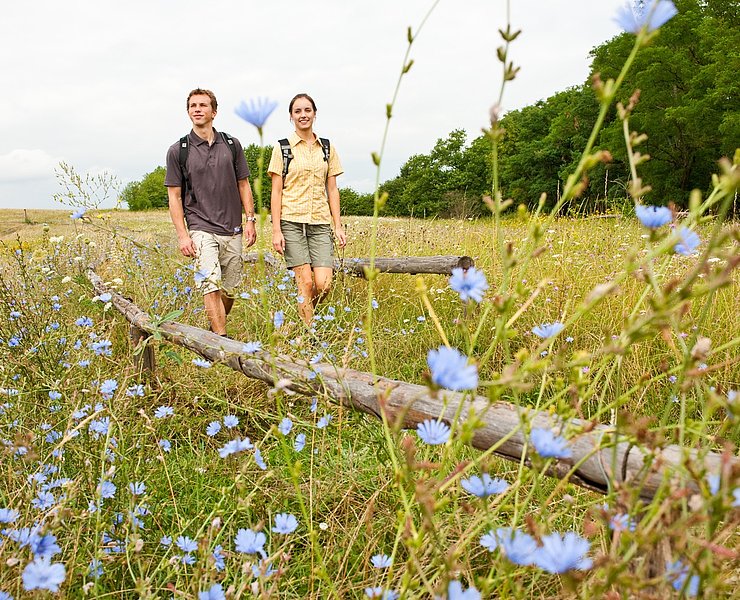
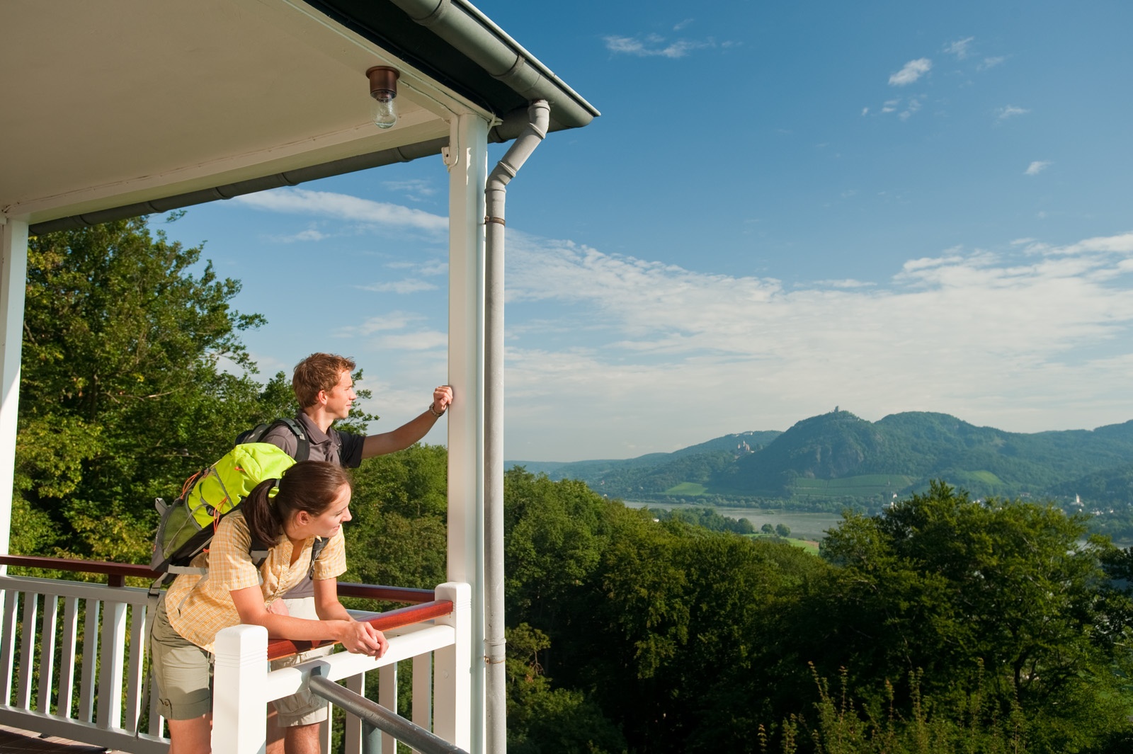
With a view of the Siebengebirge, the adventure Rheinburgenweg begins at Rolandsbogen. Orchard meadows and cozy forest sections characterize the first stage, which challenges stamina with some steep ascents and descents. At the end, you are rewarded with a magnificent view of the Apollinariskirche and Remagen.
Approach: From Rolandseck train station or its parking lot, you initially follow the approach path along the Rhine and the B9 upstream. Soon, a signpost directs hikers onto an asphalted footpath uphill towards Rolandsbogen. Passing the Freiligrath monument, the path climbs steeply with several bends in the shade of the trees. A good workout, as the Rheinburgenweg will challenge your stamina many times. After 1.2 km of approach path and about 100 meters of elevation gain, the start of the Rheinburgenweg is reached!
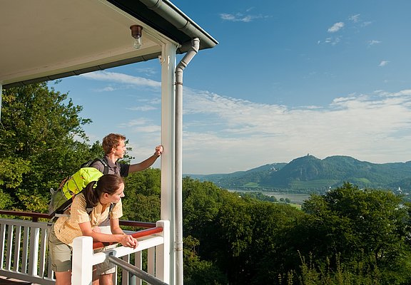
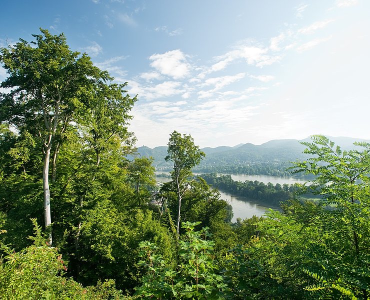
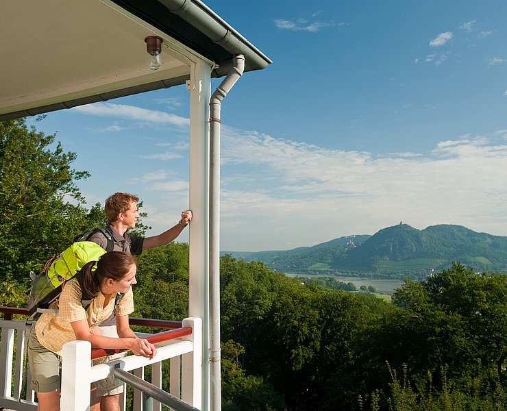
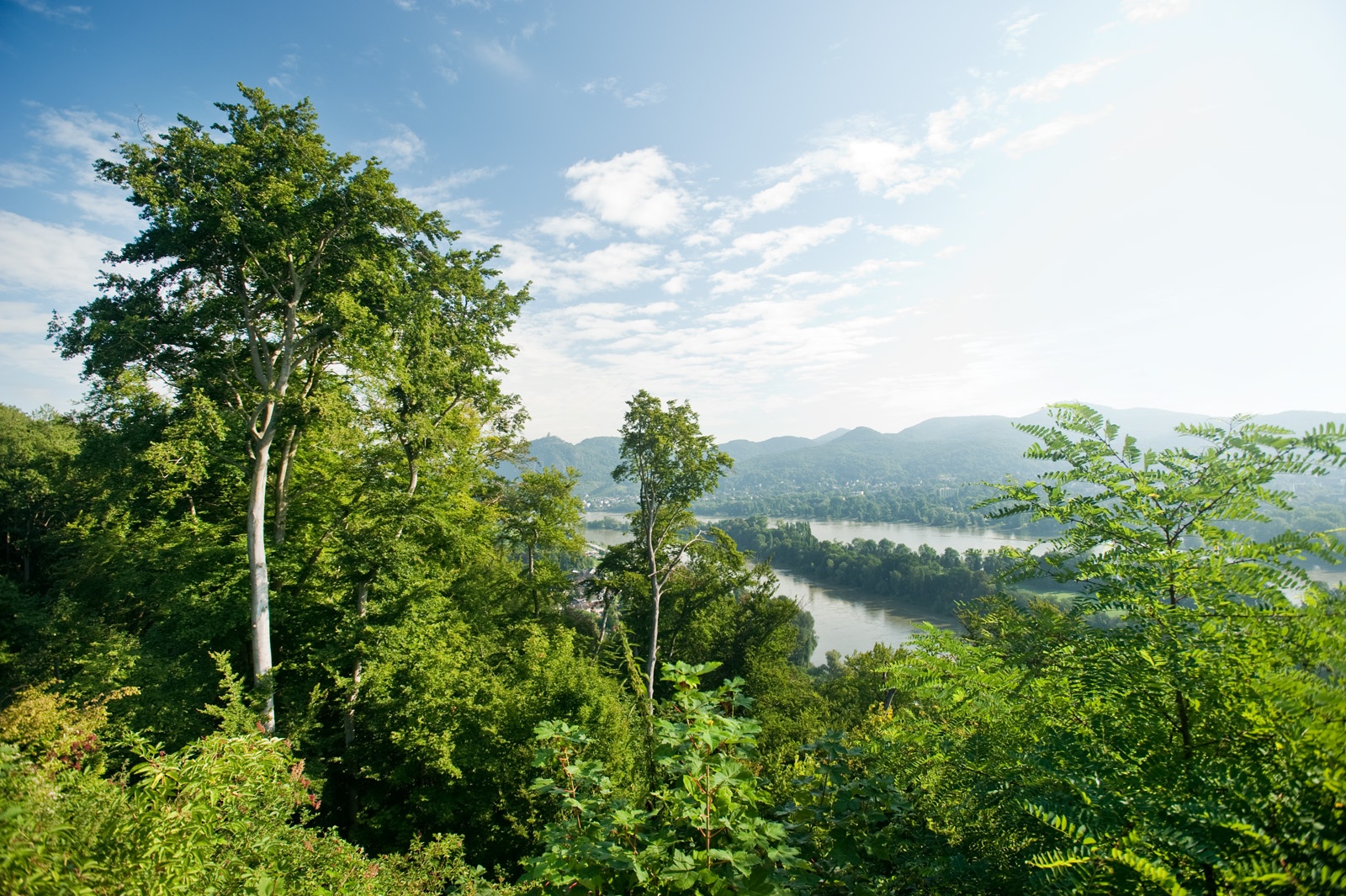
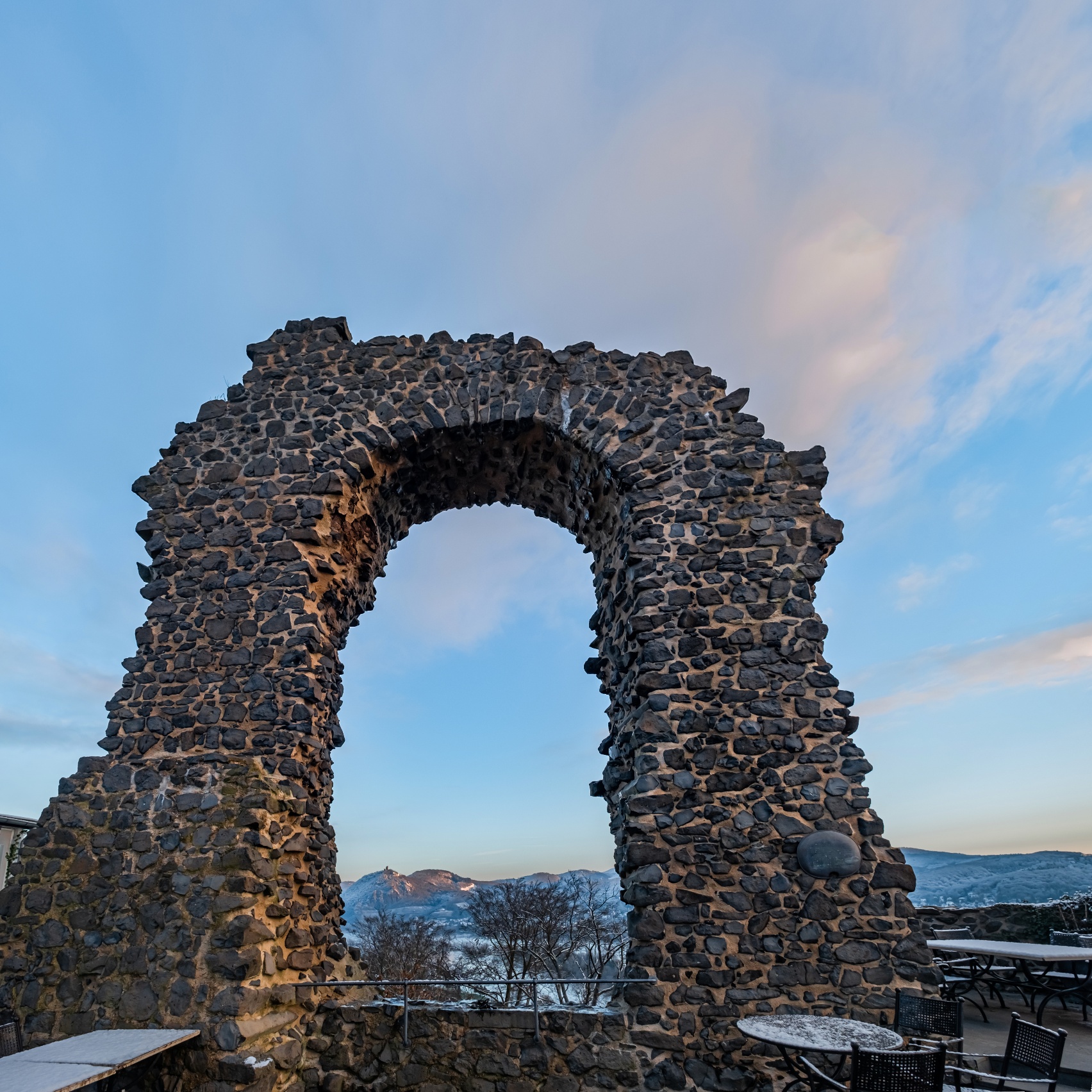
Where once the Rolandseck castle towered high above Father Rhine, today the Rolandsbogen frames the view to the Siebengebirge. At the same time, the Rheinburgenweg begins in its shadow, offering exciting hiking experiences along the nearly 200 km to Bingen.
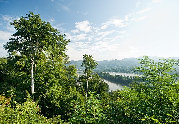
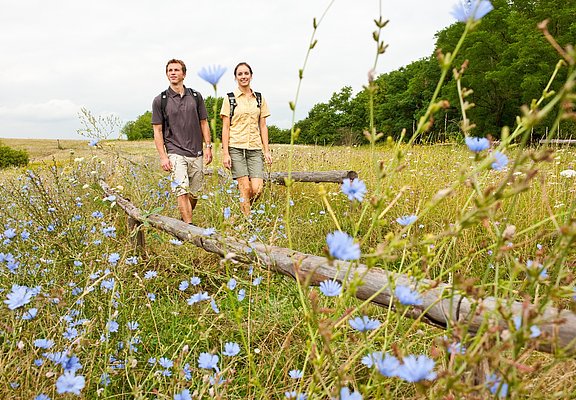
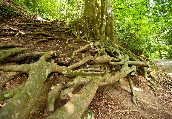
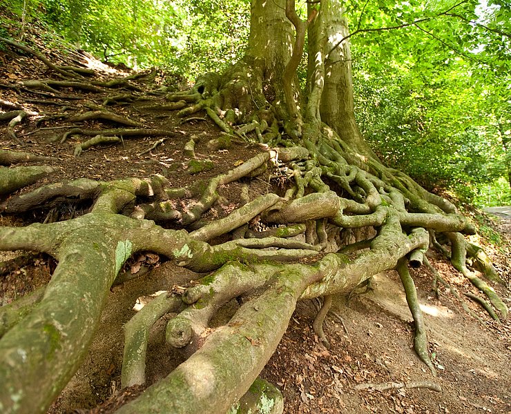
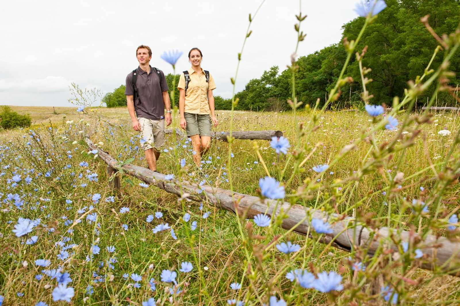
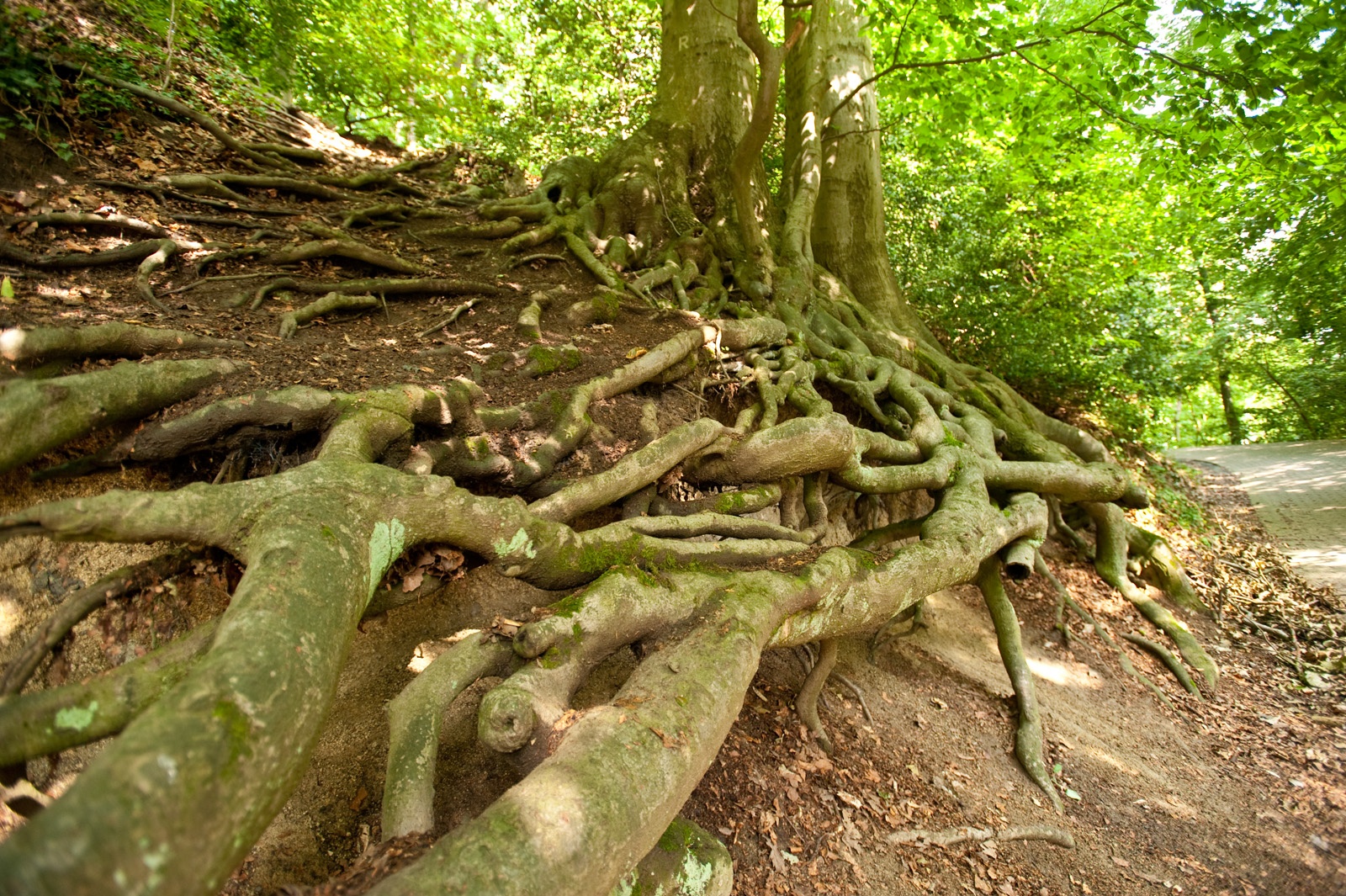
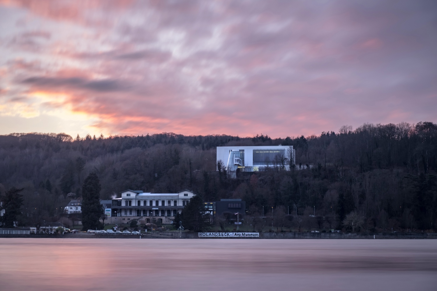
The hiking fun begins with the climb to the Rhine plateau. There, the forest retreats and orchard meadows flank the Rheinburgenweg, marked with a distinctive red logo. It does not take long before the route descends slightly and immerses into a cozy mixed forest. The first descent ends at the Rolandswerther Bach, but the Rheinburgenweg quickly climbs again. Passing the turnoff to the Arp Museum about 700 m away and the Rolandseck train station, you hike steadily uphill and pass the shelter at Berschberg. Forest clearings, mossy veteran trees, and evergreen, spiky holly bushes (Ilex) repeatedly provide variety.
Then the path environment changes: the RBW descends to the Oberwinter sports field, rises to the edge of the settlement and runs parallel to the slope. After a brief visit to the village, the path leads steeply down to Bandorf, where a great rest spot at Sümpborn invites you to take a break. Afterwards, you first hike along the edge of Unkelbach before passing directly through the village, and at a comfortable forest bench, the third major ascent of the day begins.
This time, a ridge must be conquered, from which the Rheinburgenweg immediately winds steeply downhill again. Over narrow paths, several hundred meters lower you reach the quiet Calmuthtal and a spacious wildlife enclosure. For a short while you may walk leisurely through the forest, but at the fork near the small forest pond, the next steep climb begins.
After turning your back definitively on the enclosure, the path flattens noticeably. With some detours, the logos, now sometimes together with the Apollinaris loop, lead to the next unexpected highlight: the idyllic pond at Waldschlösschen. Benches on the shore invite you to dream and rest.
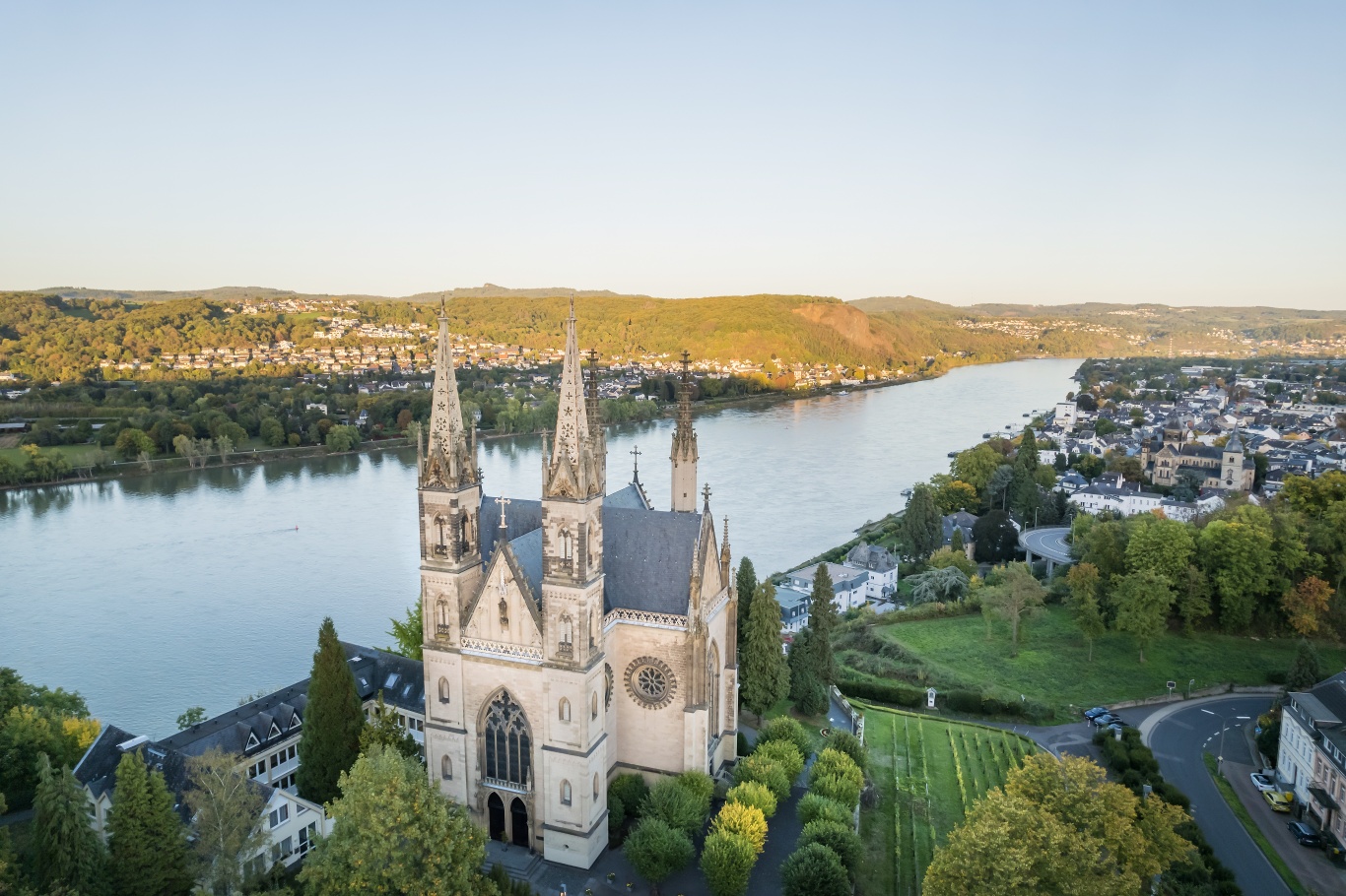
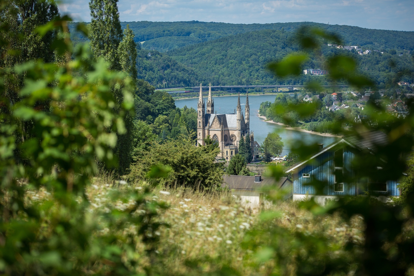
The final descent passes the Scharfenberghütte. The path noticeably goes downhill and suddenly opens up a magnificent view of the Apollinariskirche, Remagen, and the Rhine valley at the Franziskus statue. Shortly thereafter, you stand before the imposing pilgrimage church. Via the Stations of the Cross, you reach down to Remagen, where the first stage ends after 13.6 km at the B9 underpass. An approach path connects the train station and the town, where the especially attractive, car-free Rhine promenade invites you to linger.
- Route tour
- Long-distance hiking trail
- Hiking trail
- Hiking

source
Romantischer Rhein Tourismus GmbH
·
Author:
Joachim Fox
















