 EN
EN



Tour
RheinBurgenWeg 12th stage Bad Breisig - Remagen (South-North)
From Bad Breisig, the Rheinburgenweg leads past Celtic traces to the Mönchsheide. A cozy forest section leads to Sinzig, which scores culturally with a castle and basilica. After crossing the Ahr, the high plateau of the Ahr plateau inspires before Remagen is reached.
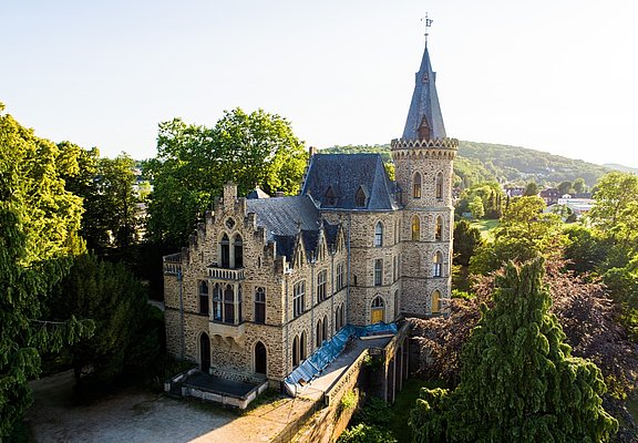
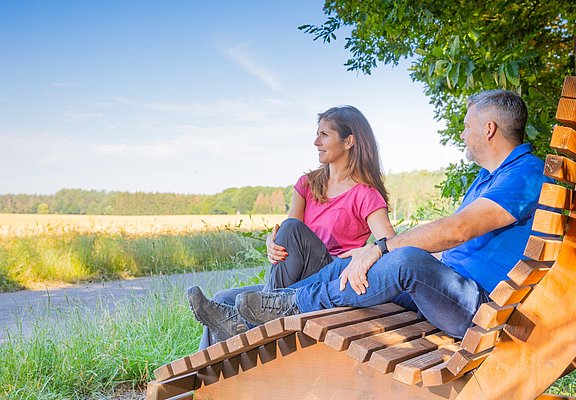
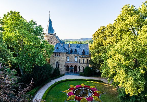
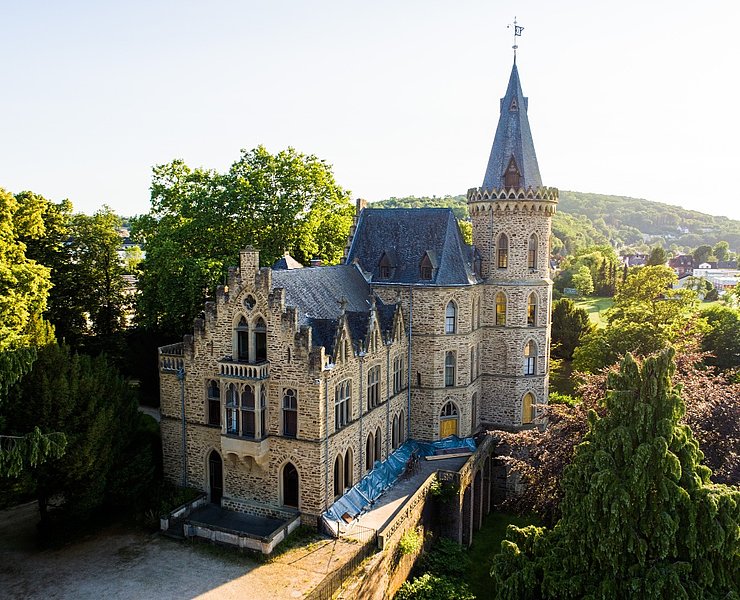
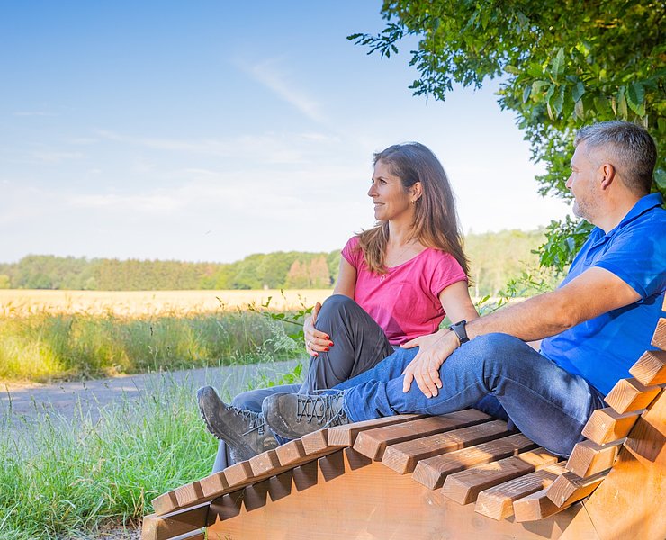
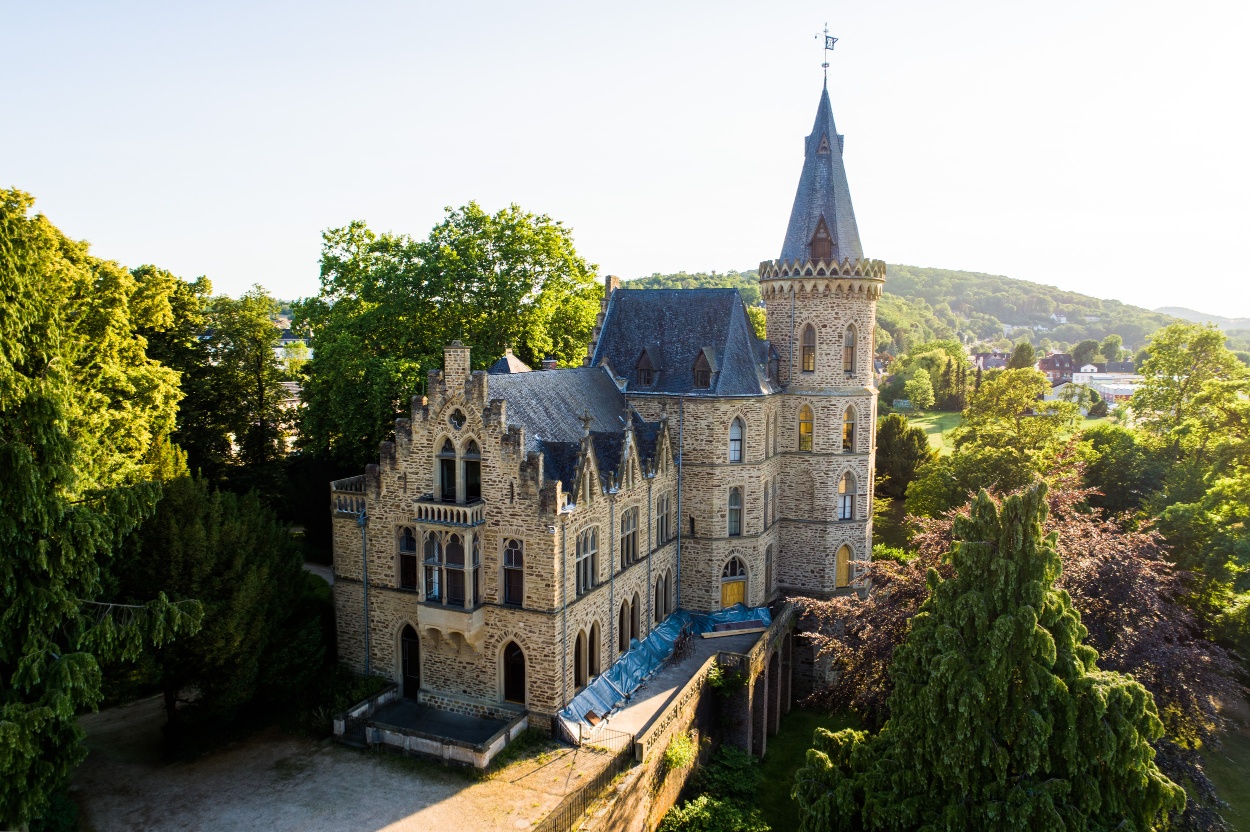
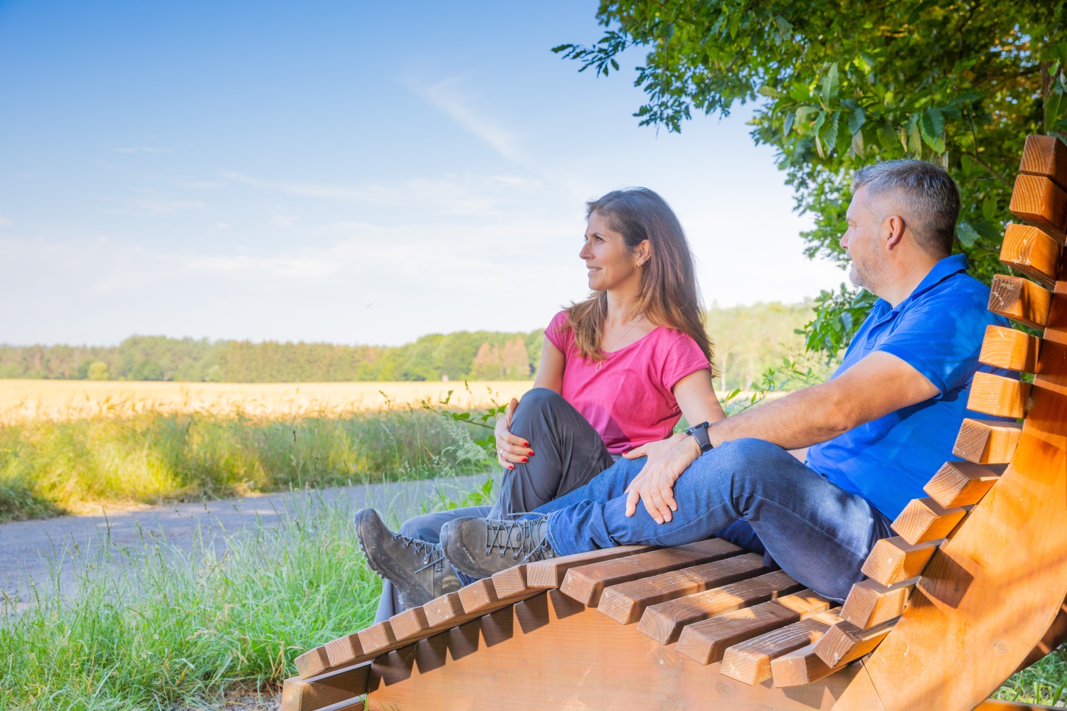
Close to the train station, the 12th stage of the Rheinburgenweg (RBW) begins. Through Brunnenstraße, it goes to the nearby Roman baths and continues through the town. Then the first ascent follows, winding several times through beautiful forest past great views of the "Hahn". Here, a swing bench with a premium view of Arenfels Castle awaits. Passing Celtic relics, it goes to the viewpoint at the Hahn shelter. The RBW continues through the forest, passing several stations of the yoga path and the fairy tale path, delighting with relaxed forest hiking. From Trotzenberg, it leads to the forest edge, where the Mönchsheide provides variety and the nearby manor invites you to stop for a break.
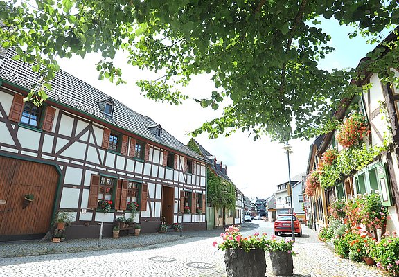
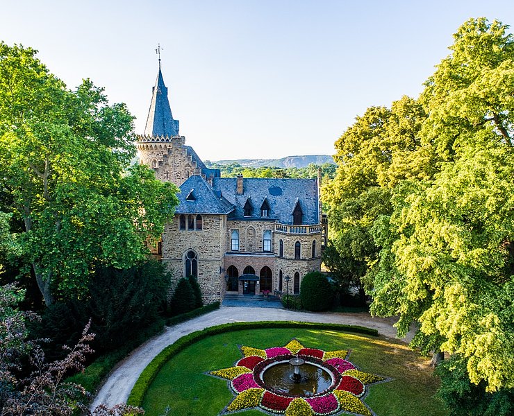
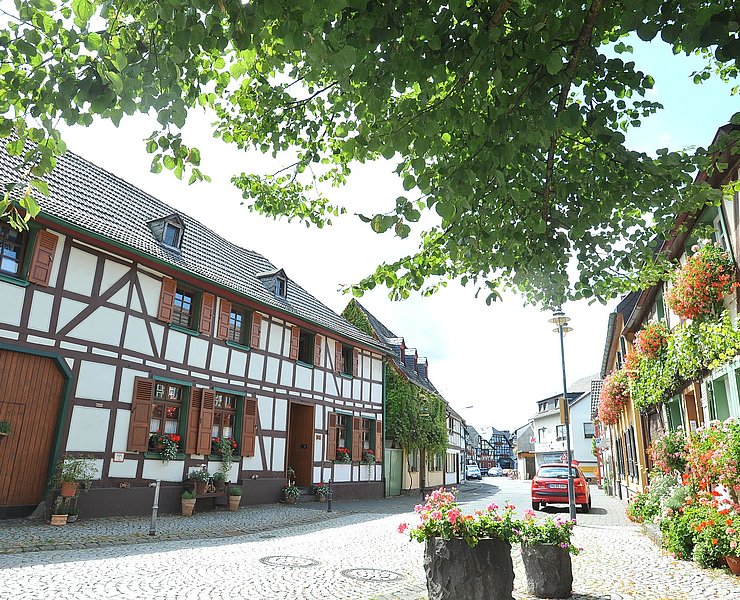
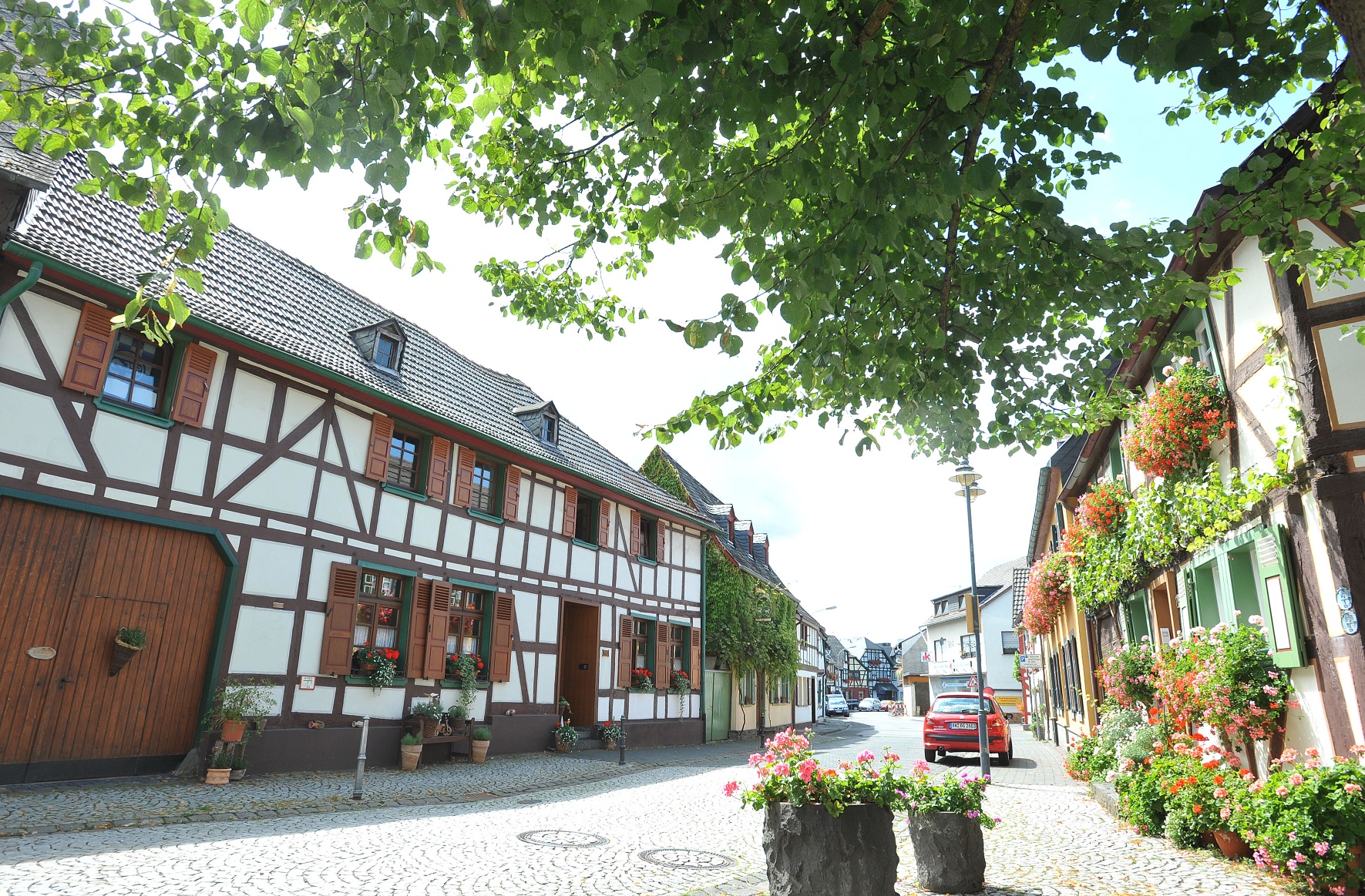
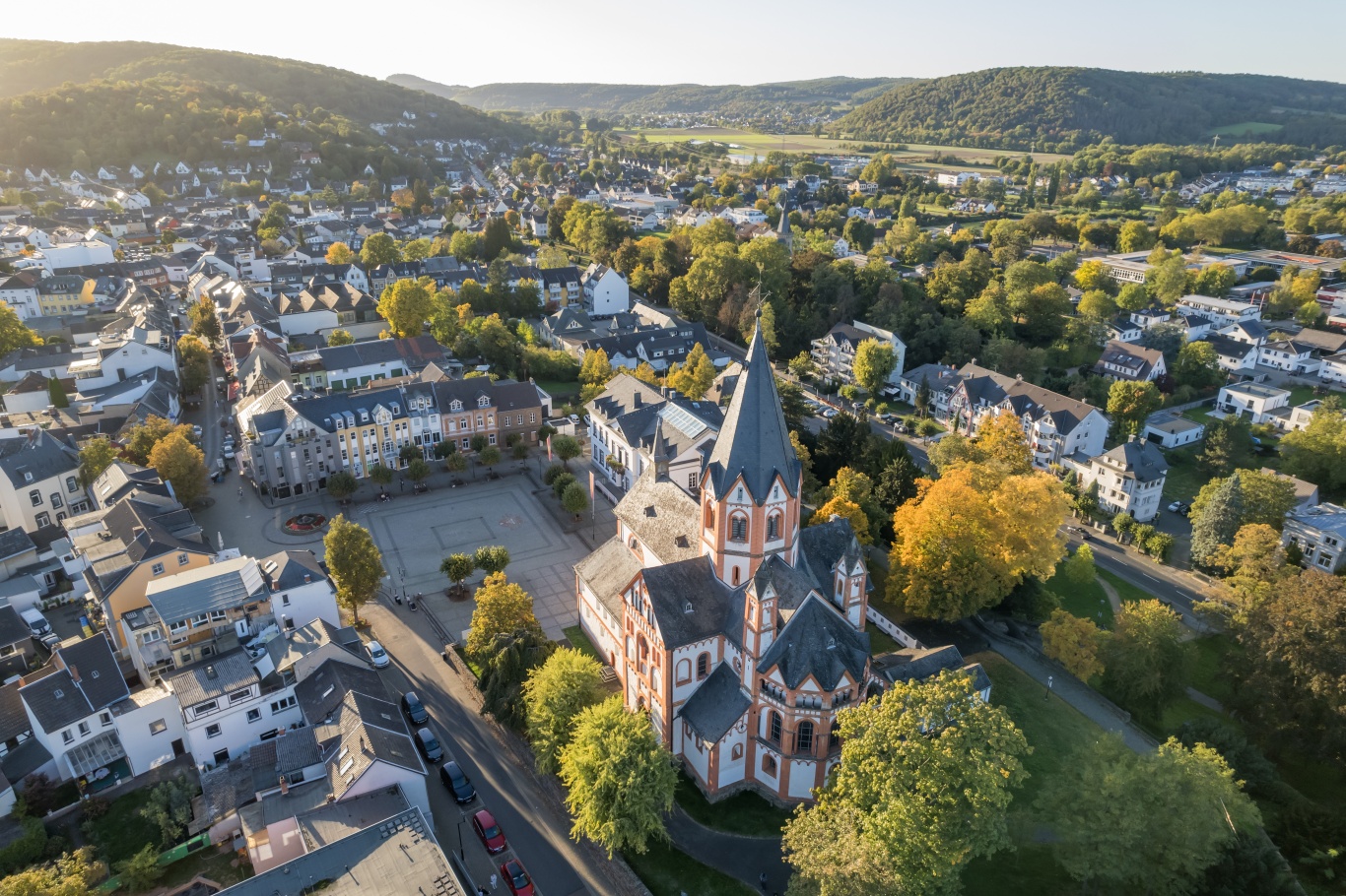
Unnoticeably, the descent to Sinzig begins. After changing to open countryside, it goes clearly downhill through orchards. Finally, a hollow path leads into the town, where remains of walls on Rheinstraße testify to the long history of the former imperial palace Sinzig. It continues through the park below the impressive basilica. Barbarossa Street then leads to the monument of Emperor Barbarossa before shortly after passing the castle and a small park and continuing to the roundabout. Here a detour begins because after the Ahr flood, the original route of the RBW is interrupted for an indefinite period.
Detour:
At the roundabout, walk straight into the street "Am Hellenberg". Together with the Ahrsteig, turn right into Mühlenbergweg and hike up to Hellenberg. Continue steadily uphill through the forest to a forest playground. Here change to the Ahrsteig access path, turn right with it and descend to Bad Bodendorf. Over Bäderstraße, walk to the Ahr bridge and further to the B 266. After crossing it, pass the Bad Bodendorf train station and turn right. Over Ahrweg and Schulstraße, reach the intersection with the main street, where you meet the old route of the RBW again.
From the main street, turn left into Zeisigweg and change at "Am Finkenstein" to a path leading uphill out of the town. After a clear ascent through orchards, you reach a cross path, which you follow to the left. Above houses and gardens, it goes through the slope flank, offering beautiful views into the Ahr valley. Once more the path descends and touches the town's edge again. But through Schützenstraße, the RBW quickly returns to nature and rises steadily. At a crossroads, the Apollinaris loop joins, and together you fully conquer the plateau. Past an idyllic, heath-like forest meadow, you reach the Jewish cemetery. Then the forest opens, and the RBW runs along the edge of the Ahr plateau to the namesake parking lot. After crossing the access road, the RBW winds path-like through dense undergrowth, passes the relics of the Waldburg, and leaves the forest. Over a meadow, you walk down to the first houses of Remagen and can enjoy a great view of the Rhine from a bench. In zigzags, the RBW leads downhill through the residential area to Bergstraße. Here, turn right and shortly after stand at the underpass of the B9. Here, an access path leads to the nearby Remagen train station and into the town center.


- Route tour
- Long-distance hiking trail
- Hiking trail
- Hiking

source
Romantischer Rhein Tourismus GmbH
·
Author:
Joachim Fox
















