EN
EN



Tour
Remagen - Geological route 1 (Fire)
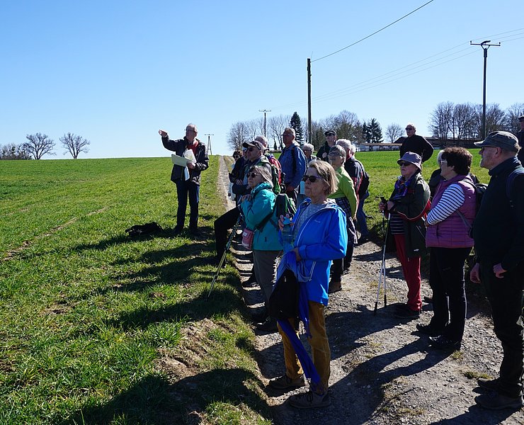
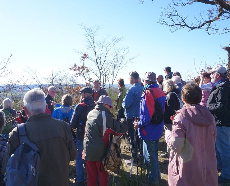
The entire route of the geological route 1 (Fire) is almost 10 km long. Along the way there are several stations where special geological formations can be discovered and the beauties of the Rhine valley, the Eifel and the Westerwald can be enjoyed.
ATTENTION: The hiking trail is currently not yet signposted! Please use the Outdooractive app to display the exact route of the trail.
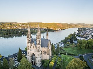
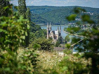
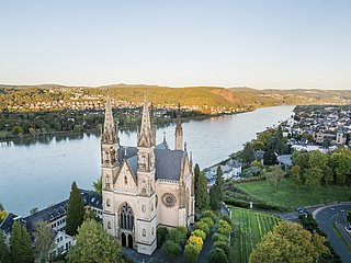
We start the hike in Remagen at the Apollinariskirche.
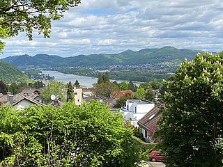
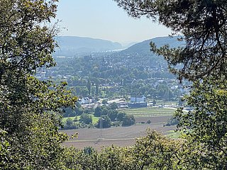
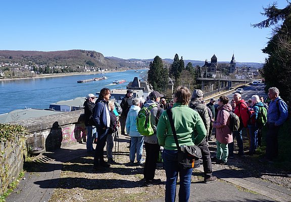
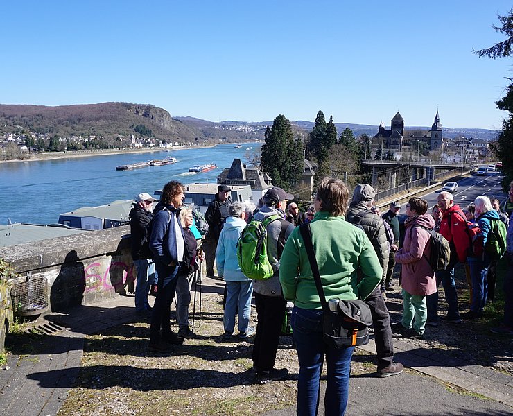
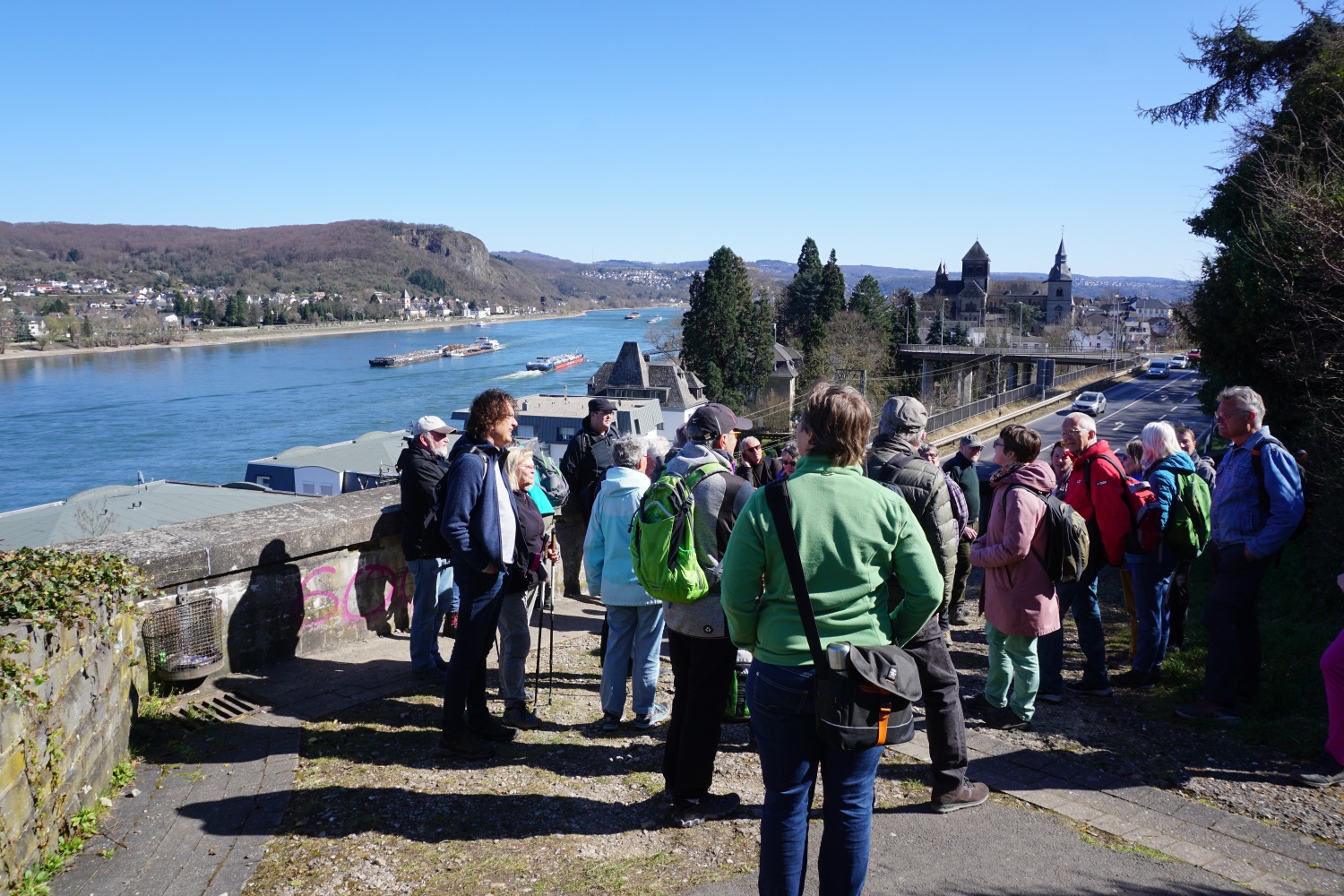
About 150m downhill on the cross path we have a very nice view of the Rhine valley.
- Geological highlight 1
Anyone who walks through our local environment with open eyes and some background knowledge of geology will discover many testimonies of recent earth history.
According to current research, the age of the universe is 13.7 billion years, that of the earth 4.6 billion years. The 4.6 billion years of earth history are divided into four geological eras (eons) using Greek terms: the first Hadean (Hades = underworld) lasting 1.2 billion years, the second Archean (archaic = very old) lasting 1.3 billion years, the third Proterozoic (proteros = early) lasting about 2 billion years, and the youngest, now 540 million years old Phanerozoic (phanero = visible). Visible already suggests that today we humans can only see geological evidence from this period on the earth's surface.
About 400 million years ago, on our part of the earth, which at that time was still south of the equator (continental drift), a shallow sea due to a depression of the terrain (Variscan geosyncline), the Variscan sea. In this shallow sea, over the course of millions of years, powerful sediment layers up to 10 km thick were deposited, which solidified under their own weight under high pressure into sedimentary rock. At that time, corals, mussels, snails, fish, and first insects were among the living organisms present. The average global temperature was quite high at 22°C compared to today's 12°C (Quaternary ice age). About 350 million years ago, the approximately 70 million years long Variscan mountain building began, during which the sedimentary rocks were folded. This mountain range (Variscans) was eroded down to the base and new sediment layers formed.
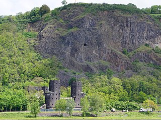
The rock formations along the cross path consist of such sedimentary rocks, which run conspicuously horizontally here. Up close, you can clearly see the individual sediment layers. At this point, they are not folded as we often see in the Rhine valley, as also on the visible rocks on the opposite Rhine side between Erpel and Unkel.
We now go back uphill past the Apollinariskirche, straight across the state road and continue fairly steeply uphill through Blankertshohl. We take the second left path for about 100 m, where we have a wonderful view of the Siebengebirge and the Rhine valley in front of it.
- Geological highlight 2
As already explained, the Variscan mountains were levelled down to the base by erosion (exogenous forces) over millions of years. About 45 million years ago, the Eurasian and African continental plates moved toward each other. The Alpine folding began, with the uplift of the Mittelgebirge (endogenous forces). This is how the Rhenish Slate Mountains were formed.
The Siebengebirge goes back to volcanic activity about 26 million years ago. It consists of more than 40 mountains, with the highest being the seven mountains starting from the west with Petersberg (331 m), Drachenfels (320 m), Nonnenstromberg (335 m), Wolkenburg (324 m), Oelberg (460 m), Löwenburg (455 m), and Lohrberg (435 m) right in front of us. The youngest volcano is the Petersberg, which formed about 5 million years ago.
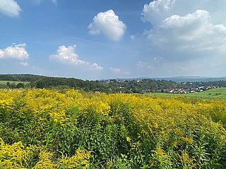
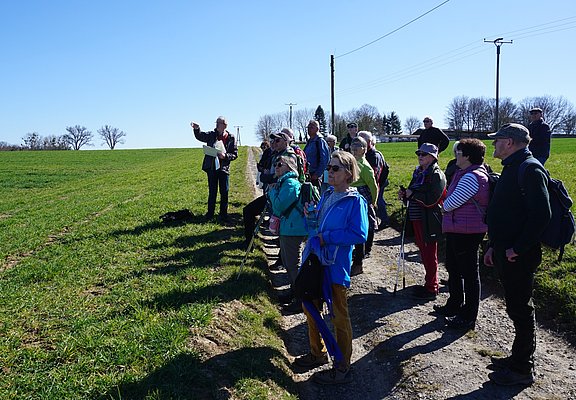
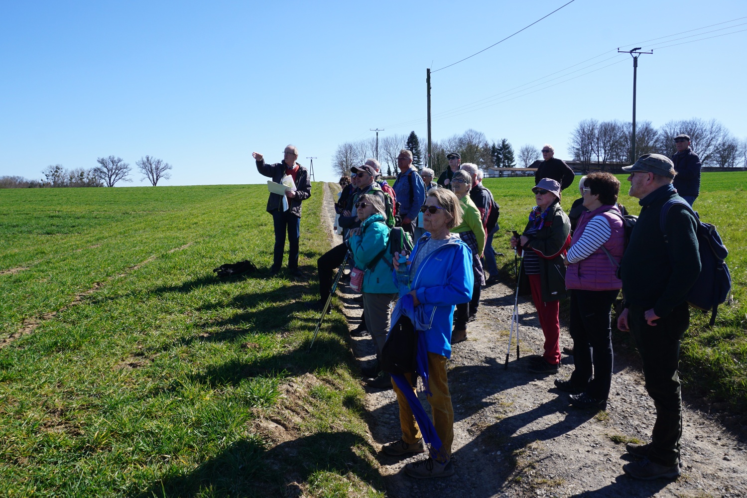
We go back to the hollow path and continue uphill up to an asphalted agricultural road. About 20 m on the left side, we have an excellent view eastward of the heights of the Westerwald.
- Geological highlight 3
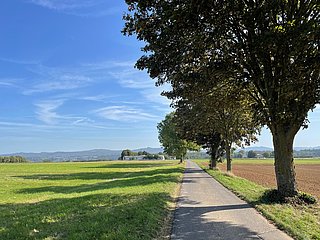
Parallel to the row of trees along the agricultural road we just walked, we see the 440 m high basalt peak of the Asberg at a distance of 8 km. Asberg is a single volcano belonging to the volcanic chain in the Westerwald that formed in the Tertiary period about 26 million years ago. To the right you see at 3 km distance in the foreground the plateau of the Erpeler Ley. This volcano was carved out by the ancient Rhine. On its height runs the trough valley of the ancient Rhine. It extends about 3 km to the Westerwald heights rising behind it, which consist of a basalt cover that flowed from the volcanoes. Further right lie three small localities on the slope and on the horizon at 353 m height the castle Alt Rennenberg. Again to the right is the largely quarried basalt peak of the Hummelsberg. Next follows, shifted further right, the transmitter Ginsterhahn and a bit further the well-recognizable buildings of the Linz hospital.
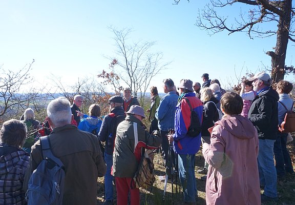
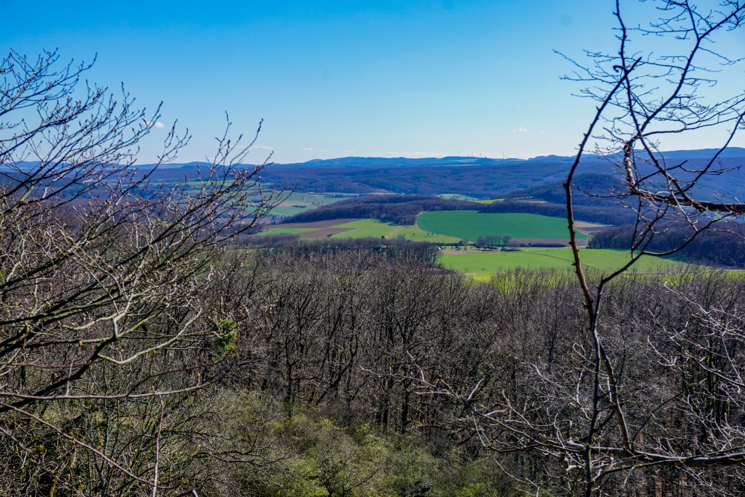
Now we follow the asphalted agricultural road westward. Passing the ostrich enclosure we cross the district road after a few minutes. We continue on forest paths until we reach the open fields. We turn right and see the next junction 100 m away and a shelter standing at the edge of the forest. The shelter is suitable for a short rest and of course for consuming packed lunch. Now follows the fairly steep climb of 70 meters in altitude to the Scheidskopf. Leaving the shelter we go left back to the aforementioned junction and turn left onto the wide, paved forest road. After about 30 m, we turn left again into a small, leafy forest path, which we now follow steeply uphill, also crossing a forest path. After about 200 m, a narrow track on an embankment coming from the right leads to the edge of the quarry. We cross this path and use the steep border ditch (border between Remagen and Bad Neuenahr-Ahrweiler) going left about 20 m further, which leads exactly to the summit of the Scheidskopf. Special care is needed here, as many loose basalt stones pose trip hazards and there are steep edges. The quarry is private property. After about 100 m, the border ditch ends at the edge of the basalt quarry just before the summit of the Scheidskopf. Turning right, the last altitude meters lead through a barbed wire enclosure to the highest point (280 m). There is a splendid view through the bushes to the Eifel landscape.
- Geological highlight 4
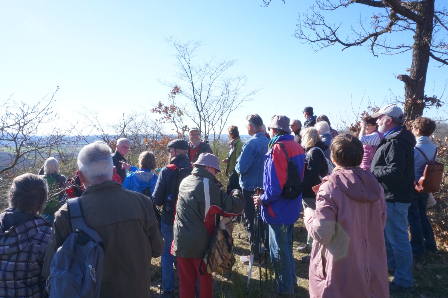
Almost exactly southward we see the outstanding volcanic mountains of the East Eifel volcanic field around the Laacher See. If you orient yourself using the transmitter Gänsehals (575 m) 20 km away, you see to the east nearby the about equally distant volcanoes Laacher Kopf (443 m), Veitskopf (428 m), Krufter Ofen (463 m), Heidekopf (428 m) and the easternmost Laacher See volcano over 400 m, the Hummerich (425 m). The Laacher See volcanism belongs, together with the volcanic field West Eifel near Gerolstein, to the youngest volcanism from about 600,000 years ago in the Quaternary period with approximately 350 eruption points.
Only 14 km away to the west beside Gänsehals we see the Burg Olbrück at 470 m height, standing prominently above the horizon. To the right in the foreground the Landskrone at almost 3 km distance and 272 m height, in the background at 18 km the 668 m high transmitter Schöneberg, and again in the foreground at nearly 6 km distance the 340 m high Neuenahrer Berg, all volcanic mountains from the Tertiary period. Directly above the Neuenahrer Berg you can make out far in the background at 24 km distance the 746 m high Hohe Acht. To the west, you see the A61 motorway between Ringen and Beller.
The Scheidskopf itself also belongs to the tertiary volcanoes. The magma did not reach the earth's surface here. It just uplifted the earth. The slowly cooling magma masses formed columnar basalt. The five- and six-sided columns are clearly visible in the quarry of the Scheidskopf.
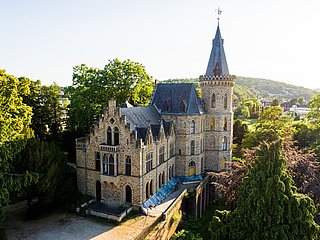
We now leave the Scheidskopf and go slowly downhill along the narrow track on the railway embankment to the base of the dam. We continue along and across fields to the state road L79. Always downhill we walk on a firm forest path to Calmuth Castle and then on the well-known Rhine Heights route back to the statue of Francis high above the Apollinariskirche. Here we reach the starting point of our hike.
And once arrived in Remagen, tired from hiking and processing the many impressions, you can visit Casa Antonio directly below the Apollinariskirche or one of the many restaurants in the town or on the Rhine.
- Theme trail
- Hiking trail
- Hiking

source
Mittelrhein
·
Author:
Tourist-Information Remagen