EN
EN

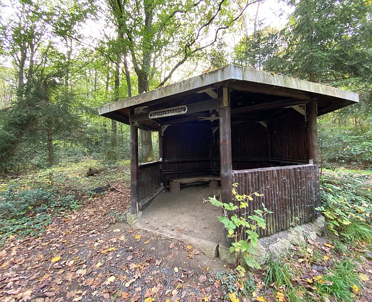
Tour
medium
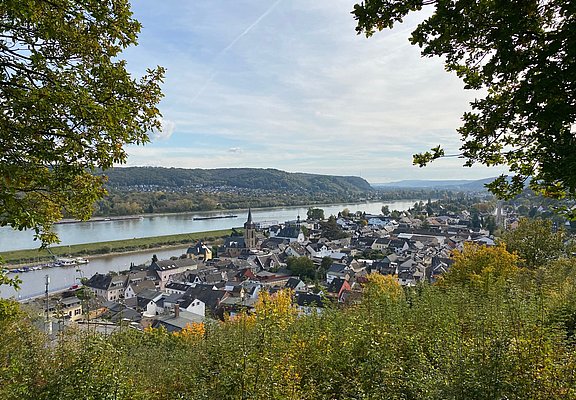
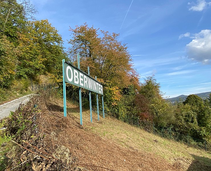
Oberwinter circular hiking trail 5 - from Oberwinter harbor to Rodderberg
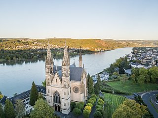
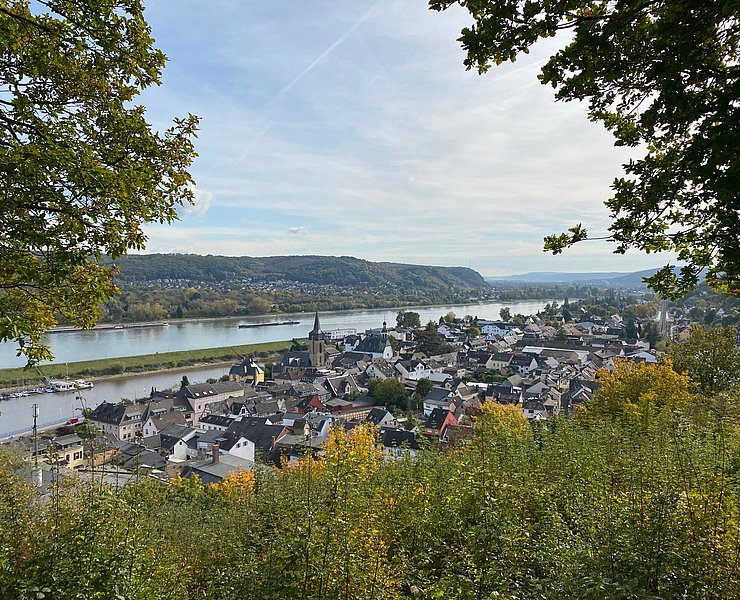
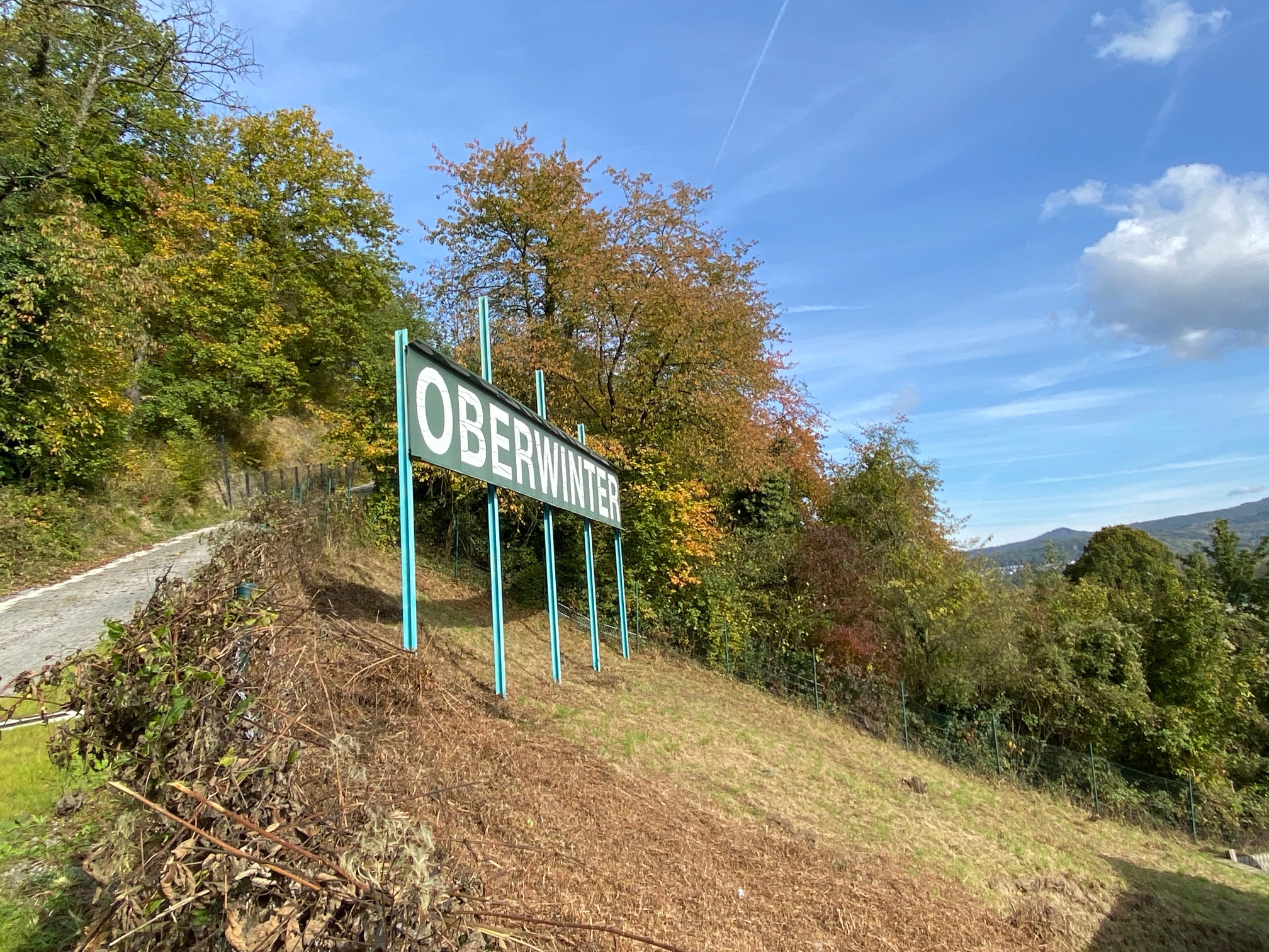
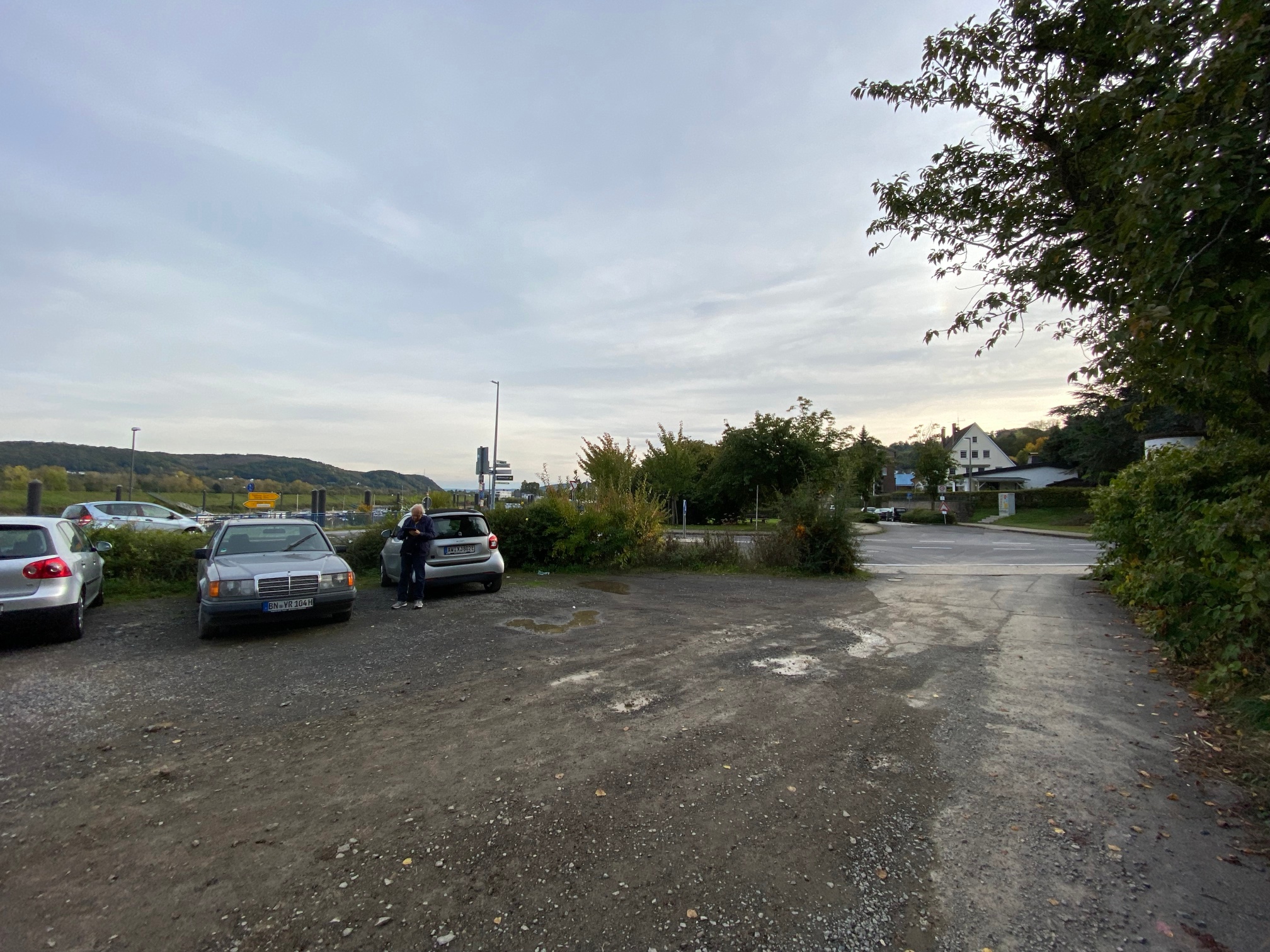
The circular route is just under 10 kilometers long and includes some climbs. Overall, about 280 meters of elevation gain must be managed. In return, it offers some nice views and is relatively varied. The start and end point of the route is a parking lot at the Oberwinter Rhine harbor, which is easily accessible by car. Parking there is free. Arrival by train is also possible; from Oberwinter station you cross the town of Oberwinter along the main street and reach the starting point at the end of the street. Near the start and end point, there is the possibility to stop for refreshments. There is a restaurant ("Pfannkuchenschiff") at the harbor, as well as other cafes and restaurants in town. There are no refreshment stops along the route.
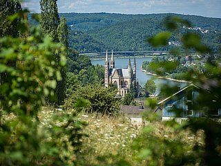
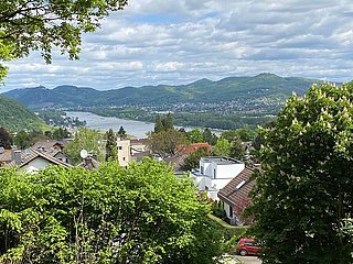
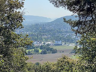
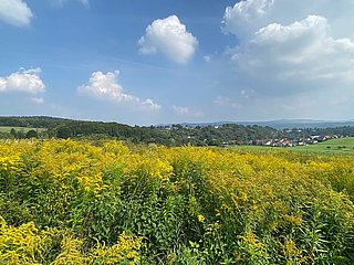
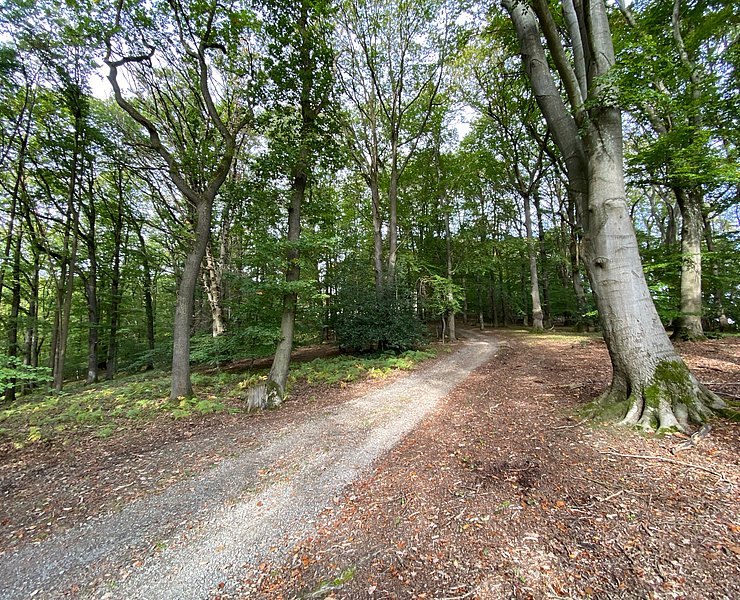
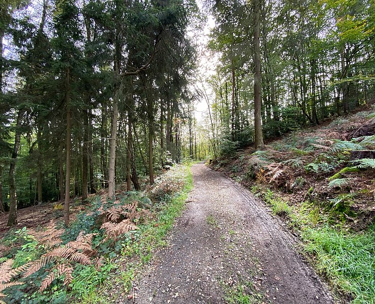
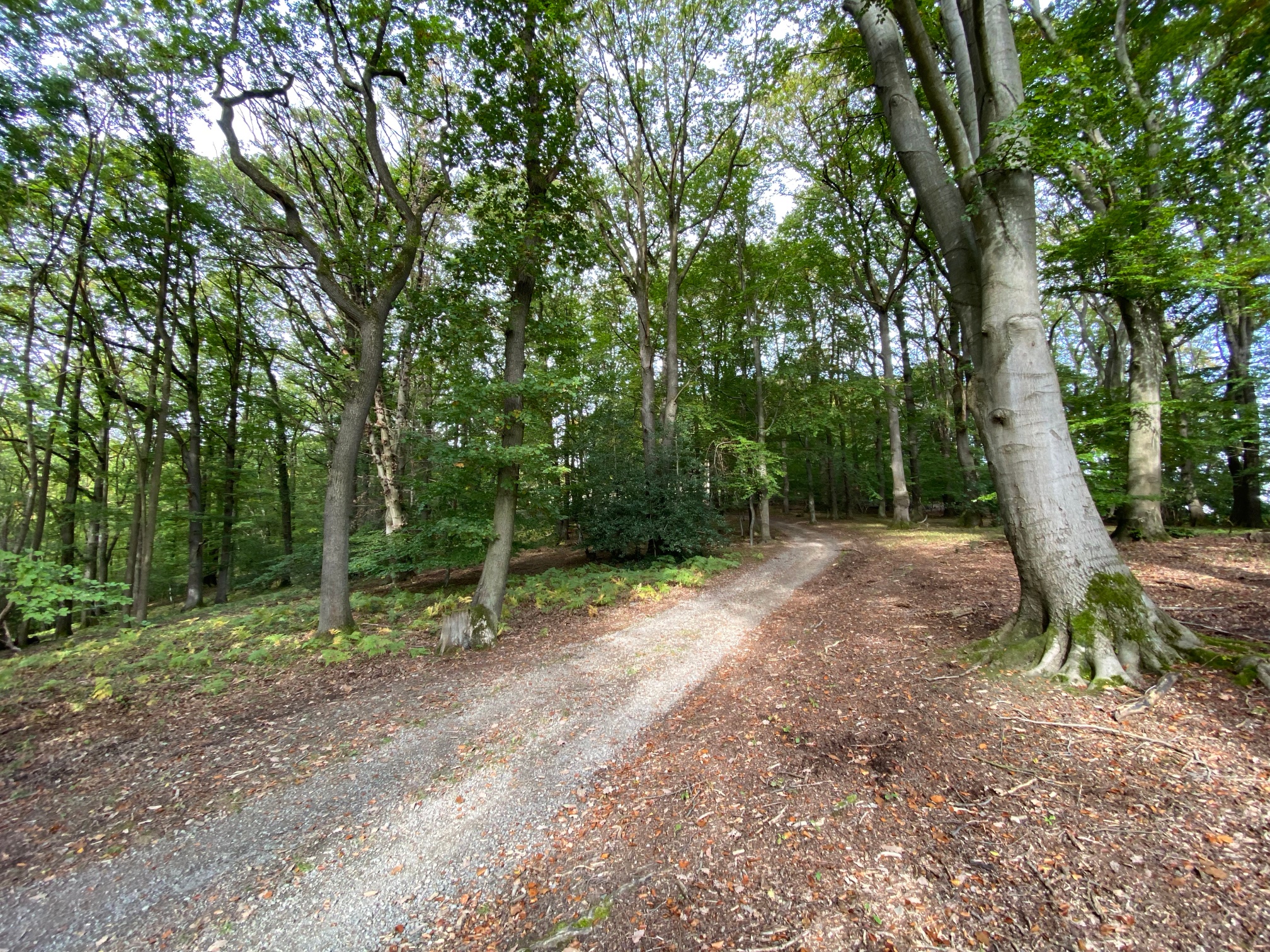
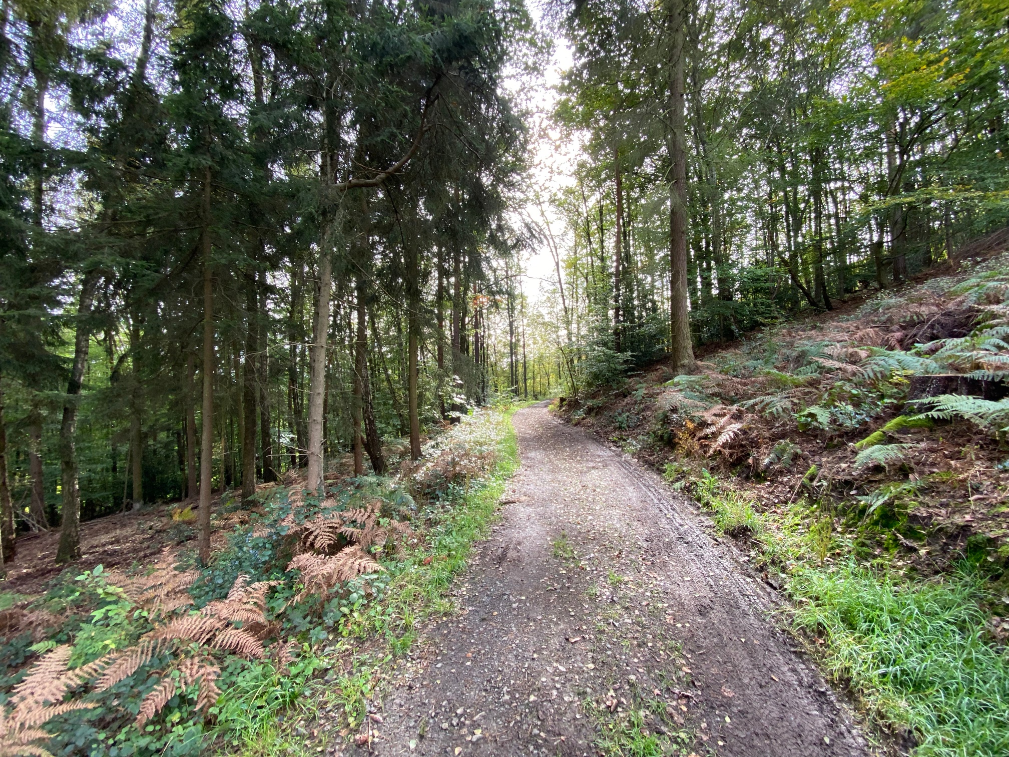
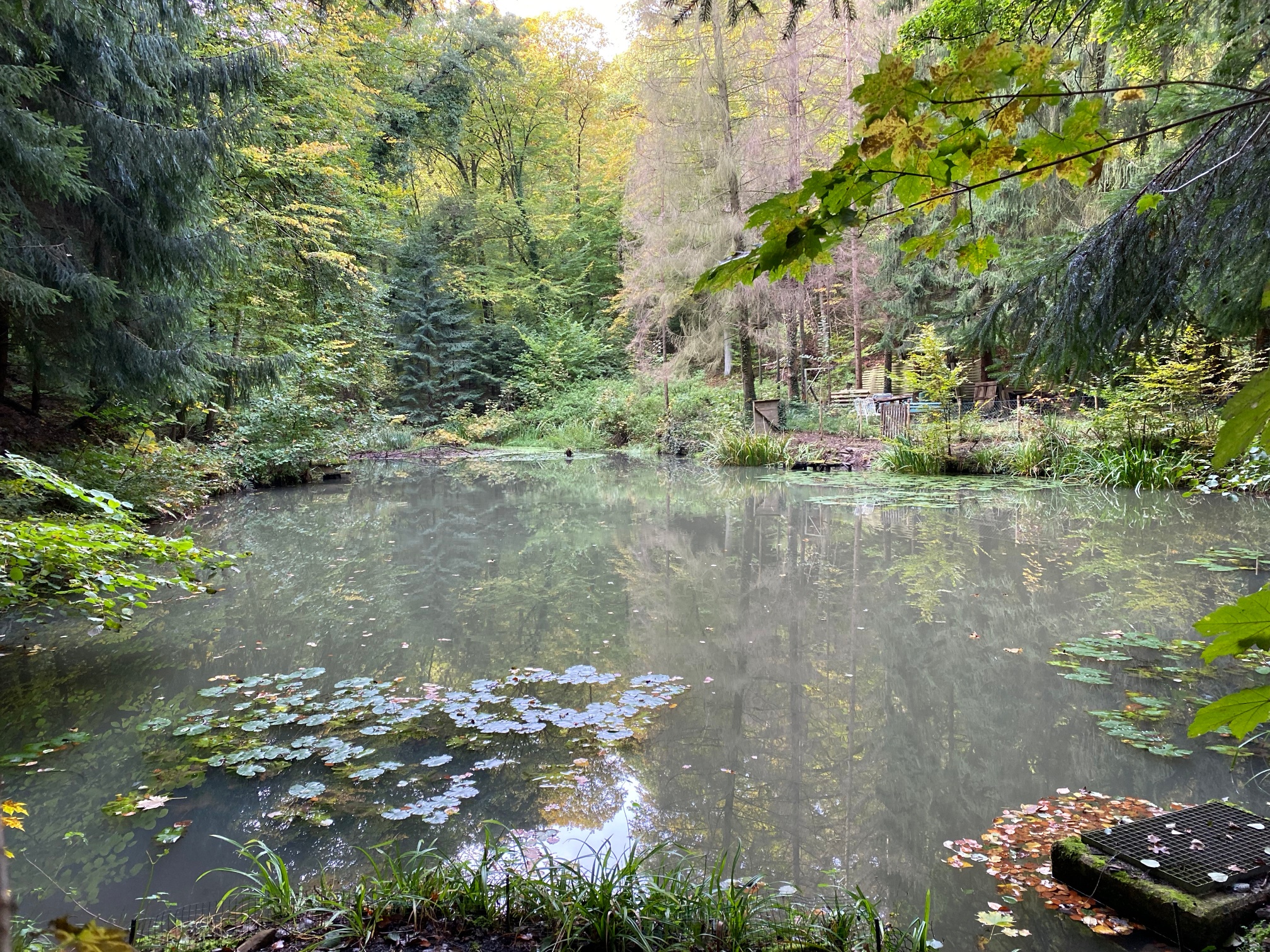
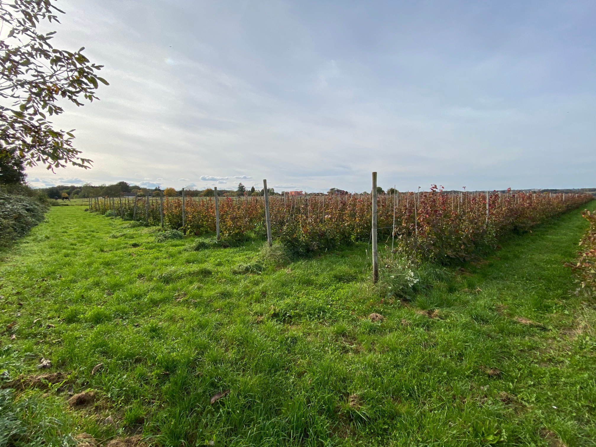
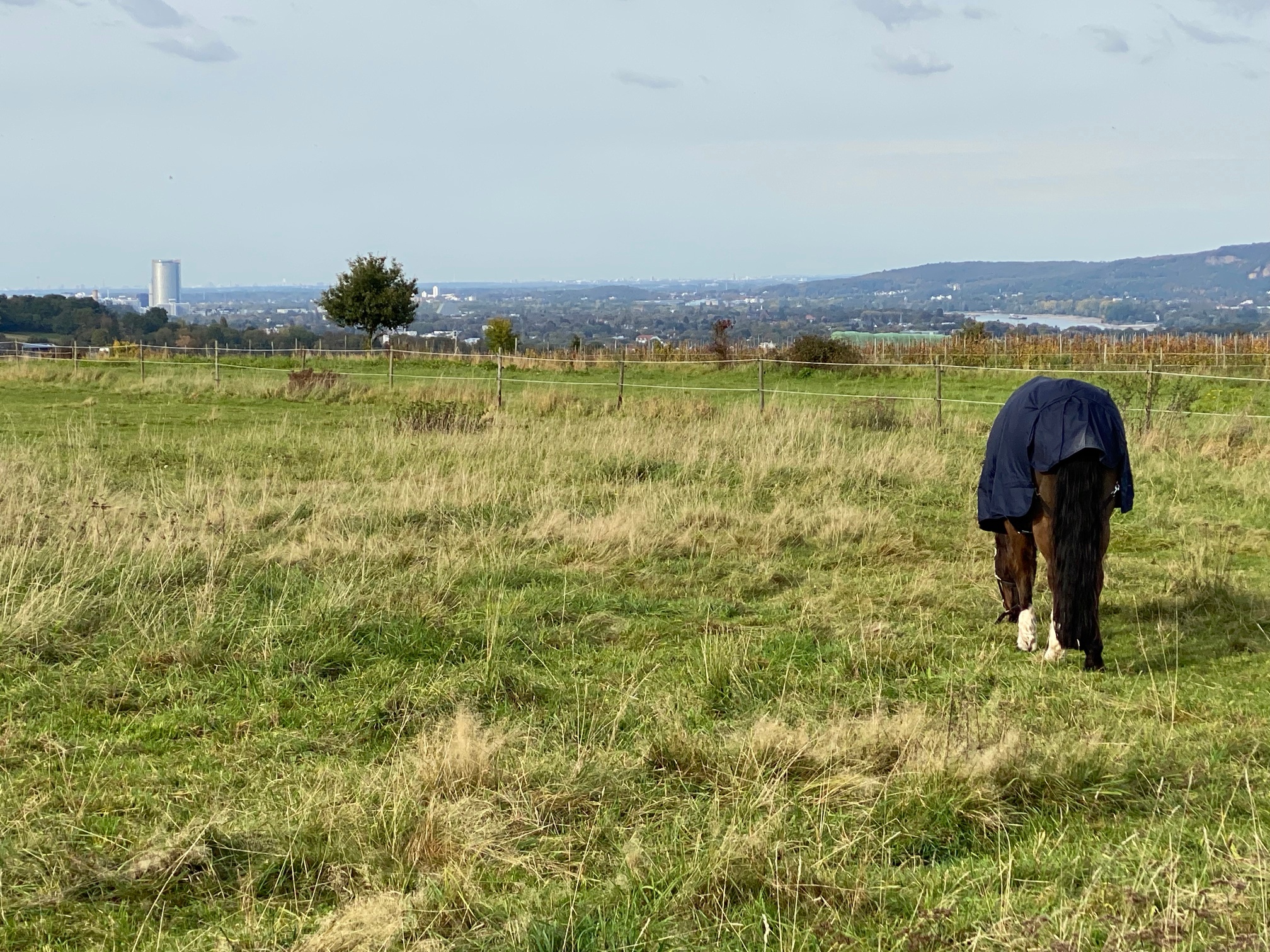
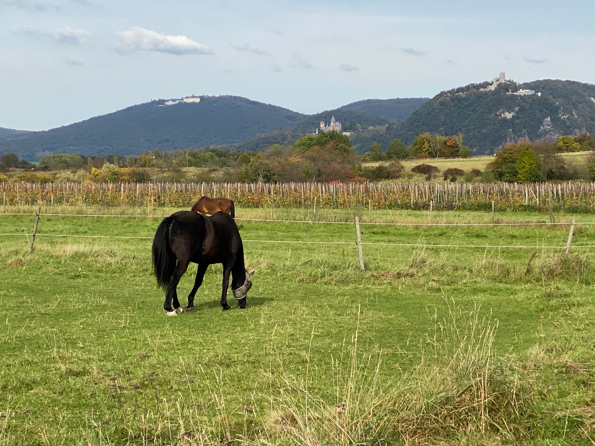
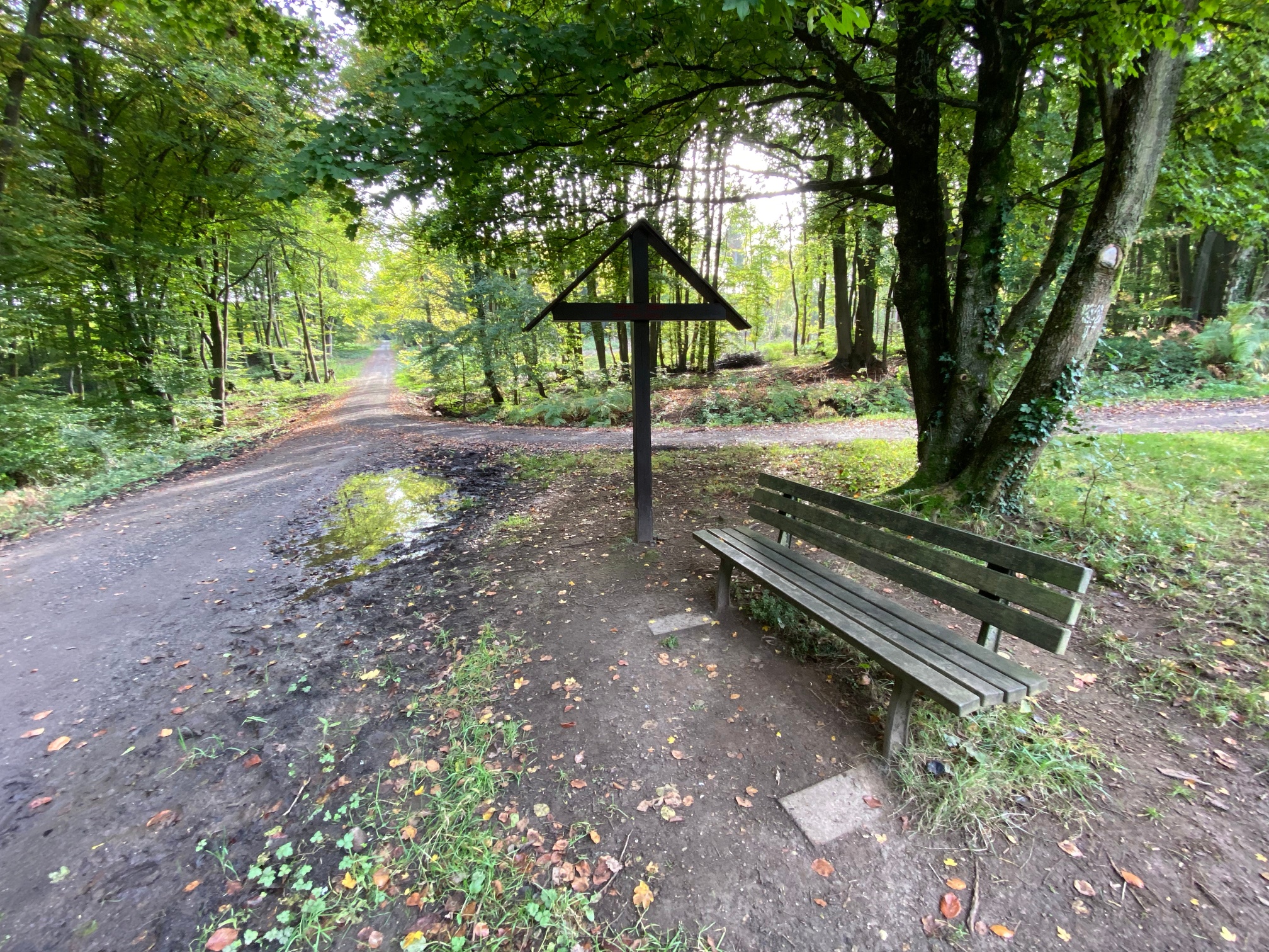
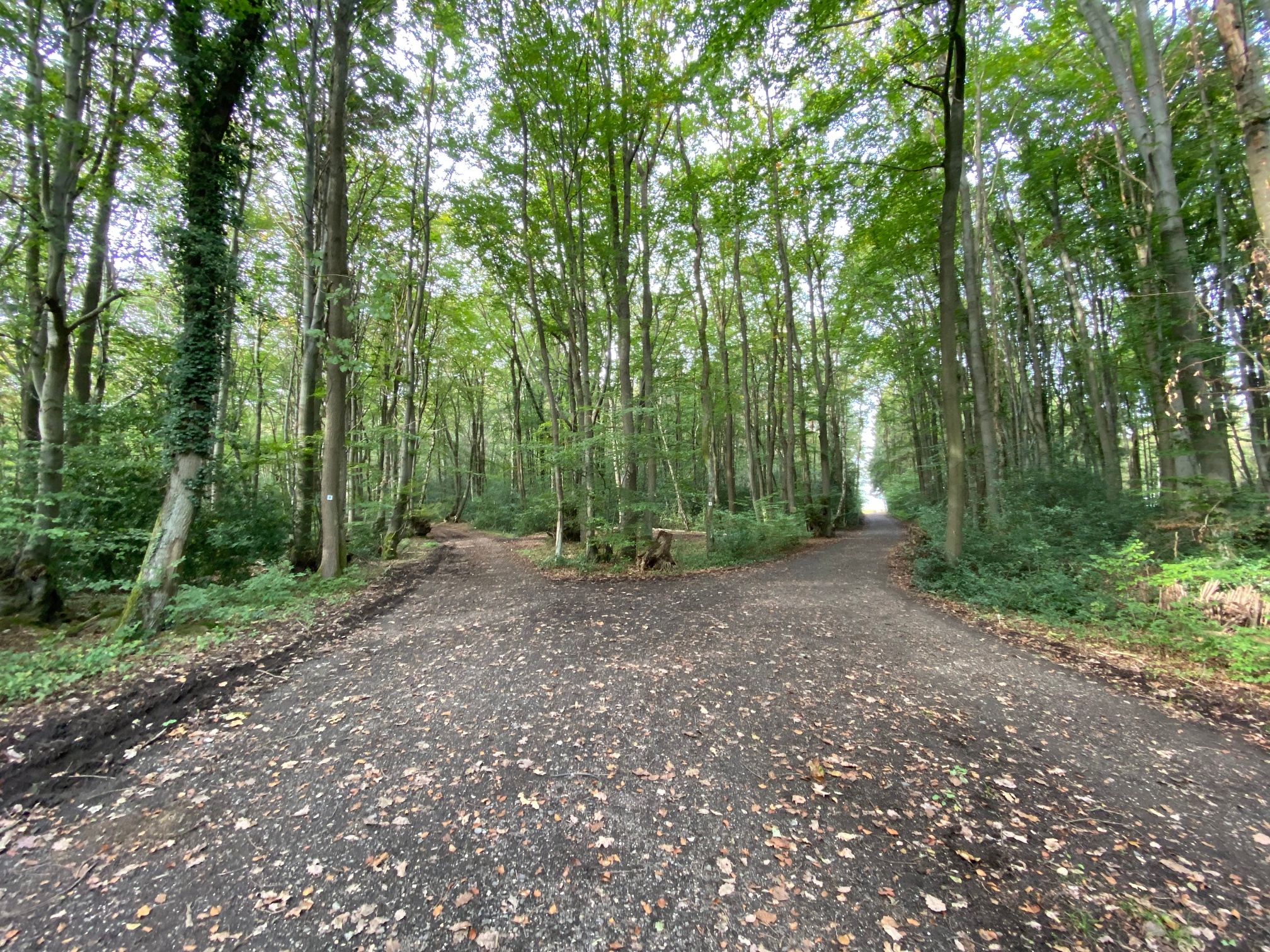
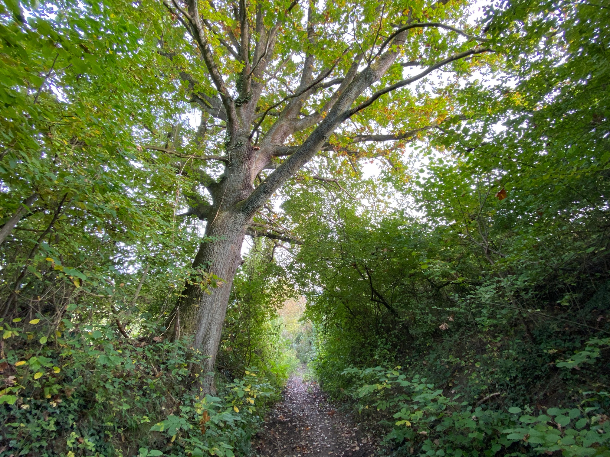
The route starts at the parking lot at the Oberwinter Rhine harbor and begins with a steep climb to the viewpoint at Friedrichsberg. From there, it continues uphill through the forest to the Rhine height. The route then continues over the Rodderberg, which offers variety with open terrain, horse pastures, and views. Then it goes back through the forest to the Oberwinter Rhine height and from there back to the Oberwinter harbor via a narrow hollow path.

Streckenart
- Round trip
- Hiking trail
Urlaubsthemen
- ZG Vielseitig Aktive (L)
- ZG Aktive Naturgenießer (L)
- ZG Kultur- und Landschaftsliebhaber (L)
- ZG Nur Wanderer (L)
Touren
- Hiking

source
Mittelrhein
·
Author:
Tourist-Information Remagen