EN
EN

Tour
Müllenwirft-Schleife im Naturschutzgroßprojekt Obere Ahr-Hocheifel
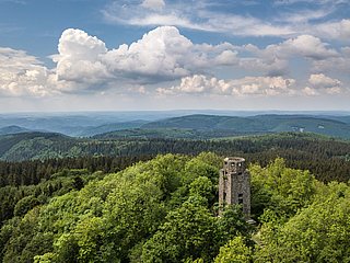
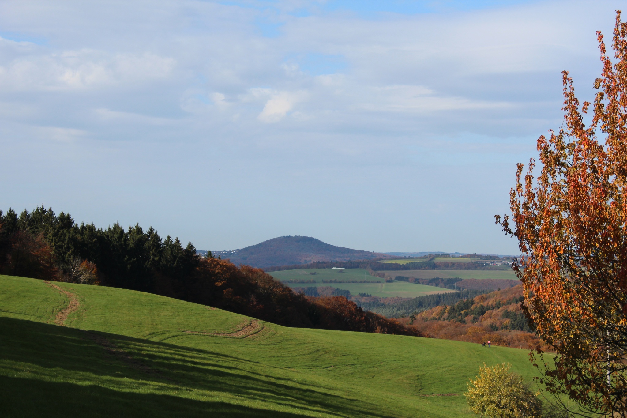
The circular hiking trail shows secluded valley meadows characterised by natural tranquillity and breathtaking panoramic views in a natural and cultural landscape characterised by meadows and forests within the Upper Ahr-High Eifel nature conservation project.
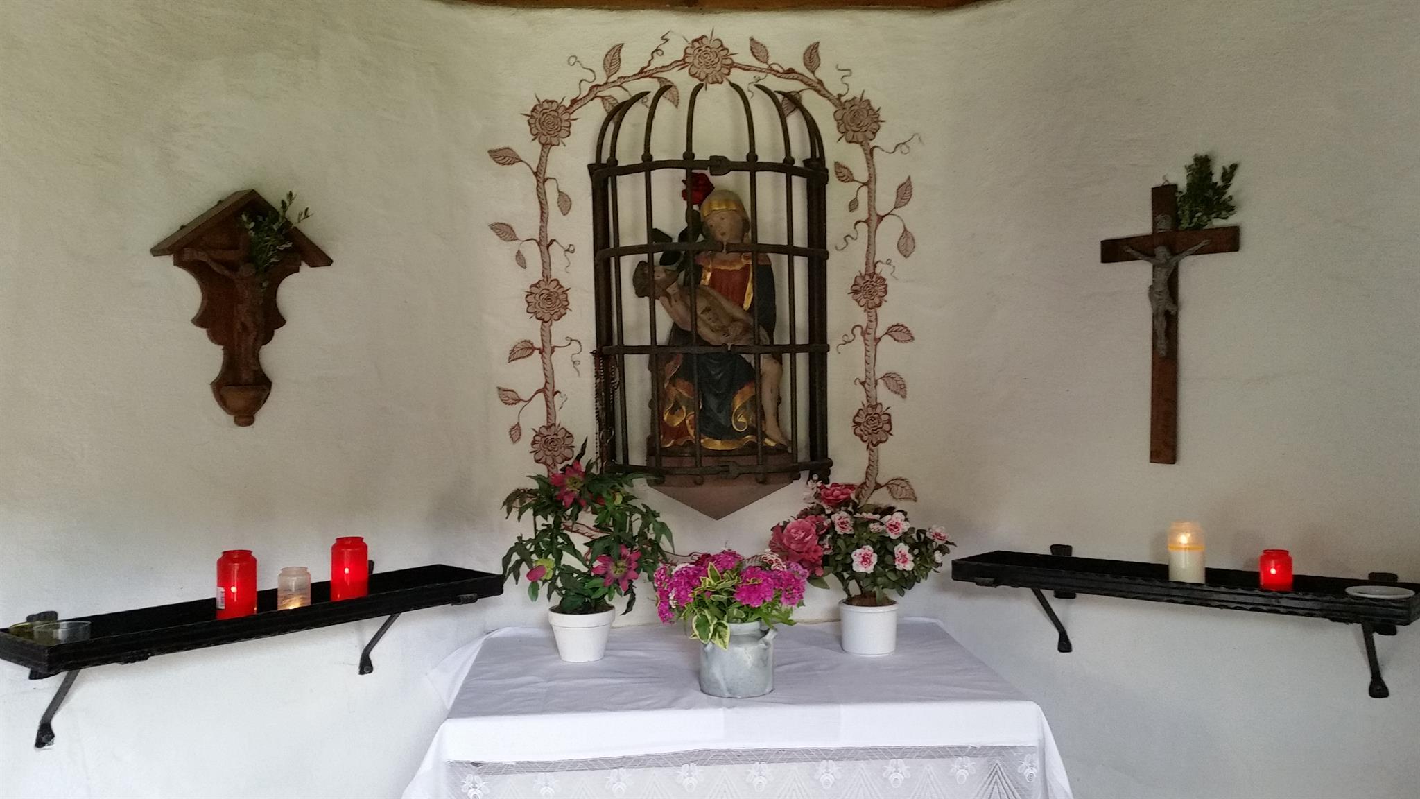
The name of the trail is reminiscent of the former supra-regional pilgrimage site "Müllenwirft. The pilgrimage site "Zur Not Gottes" soon came to a sad end when the French Revolutionary troops moved in in 1794.
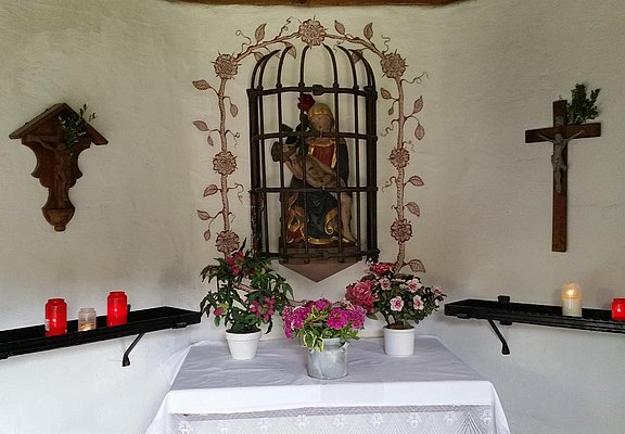
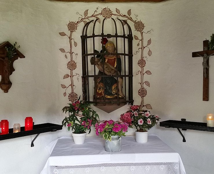
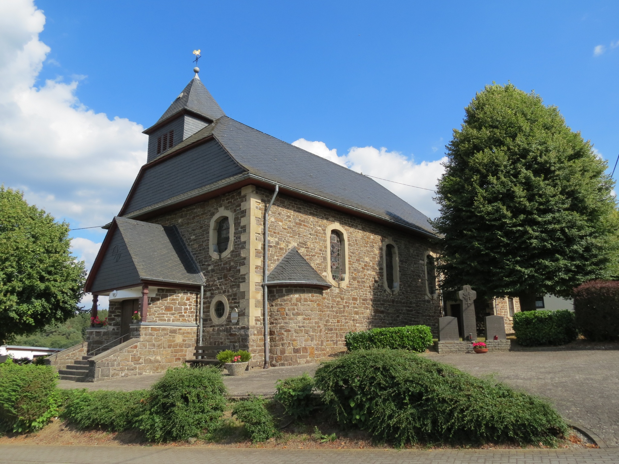
A memorial chapel was built in 1989 to commemorate this place, which also included a farmstead: The Müllenwirft Chapel.
The almost 15 km long circular trail encompasses all the scenic beauty of the Hocheifel:
Unique valley meadows characterised by natural tranquillity and breathtaking panoramic views in a natural and cultural landscape shaped by meadows and forests.
Highlights along the way:
- Müllenwirft Chapel
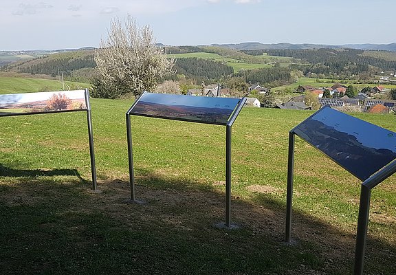
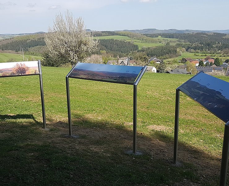
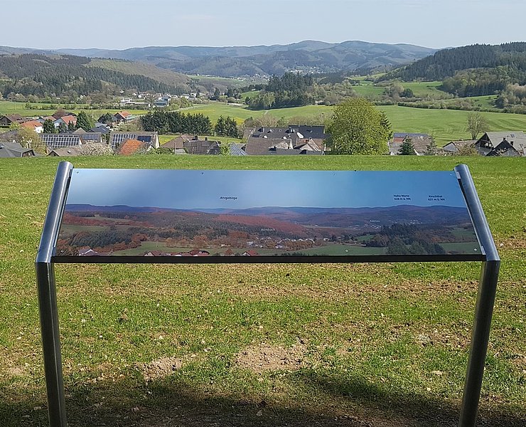
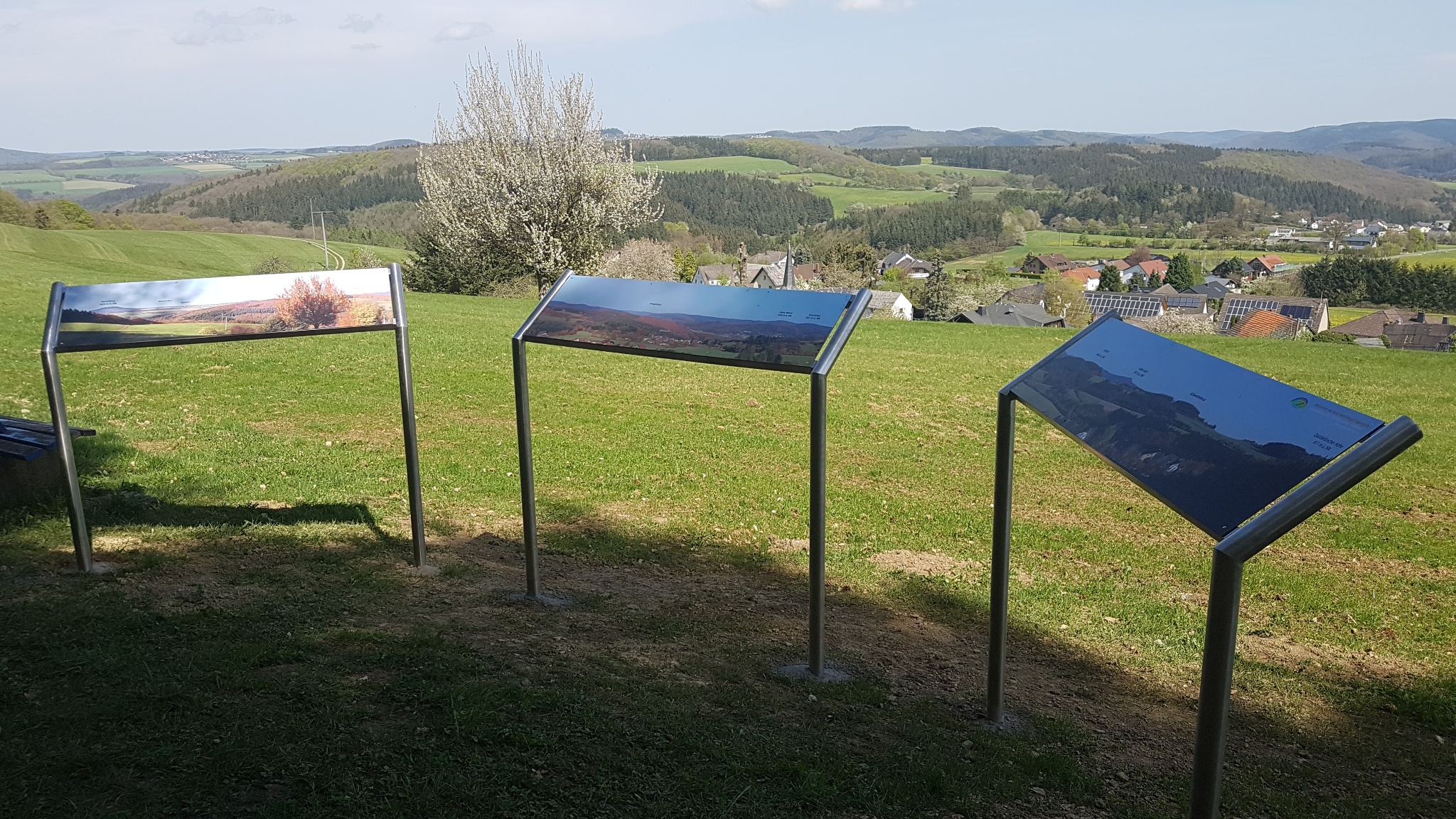
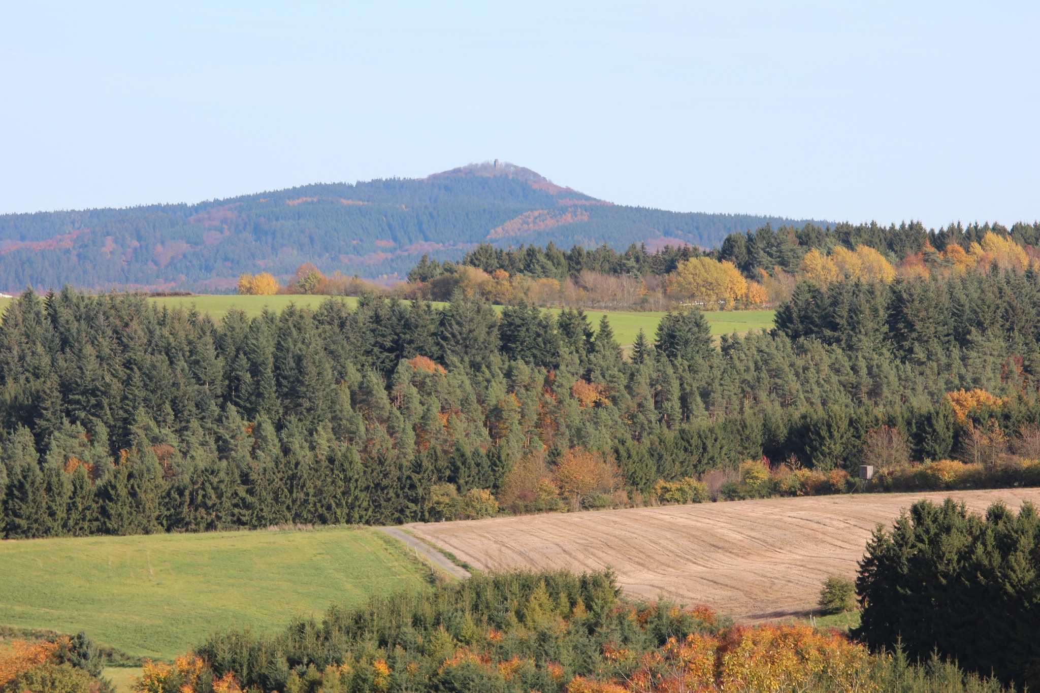
- Panoramic view of Kottenborn Switzerland
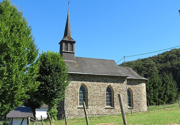
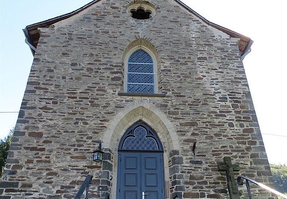
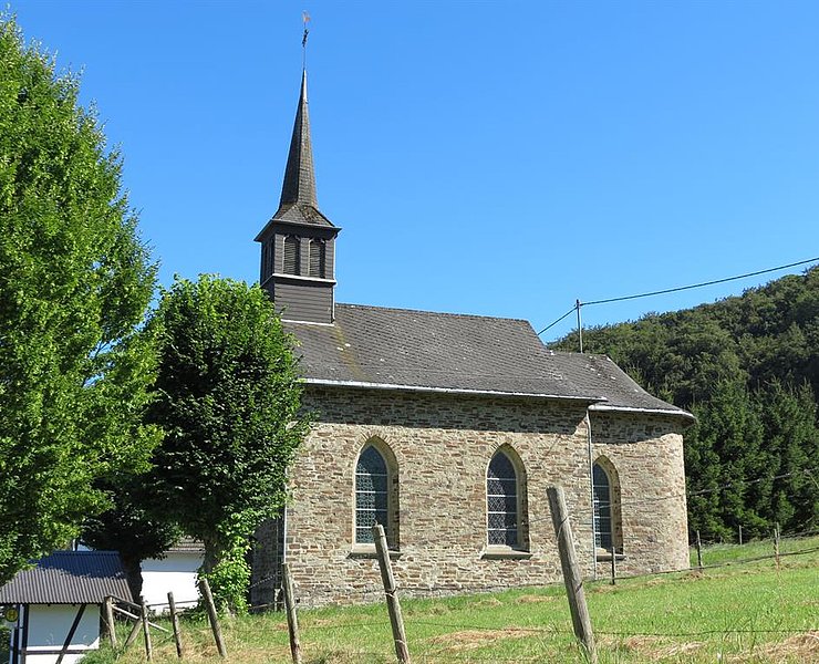
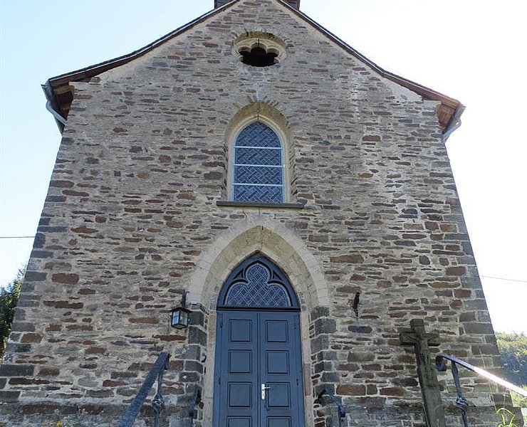
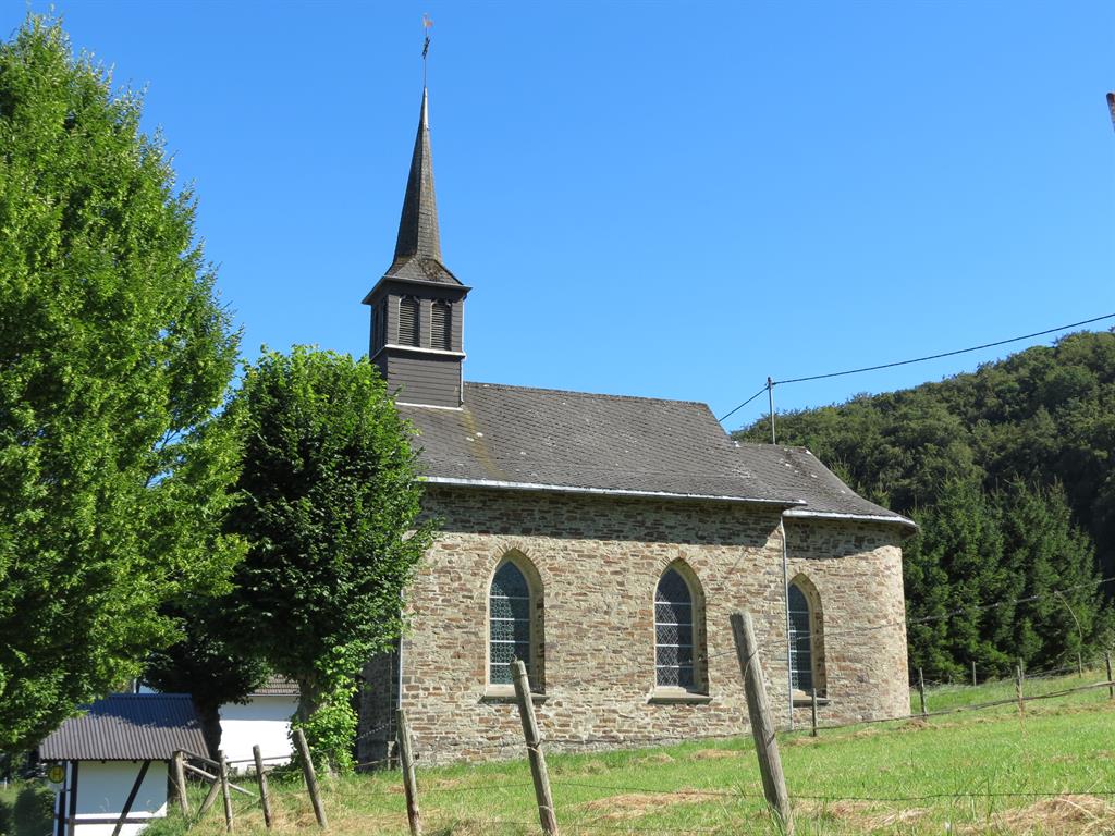
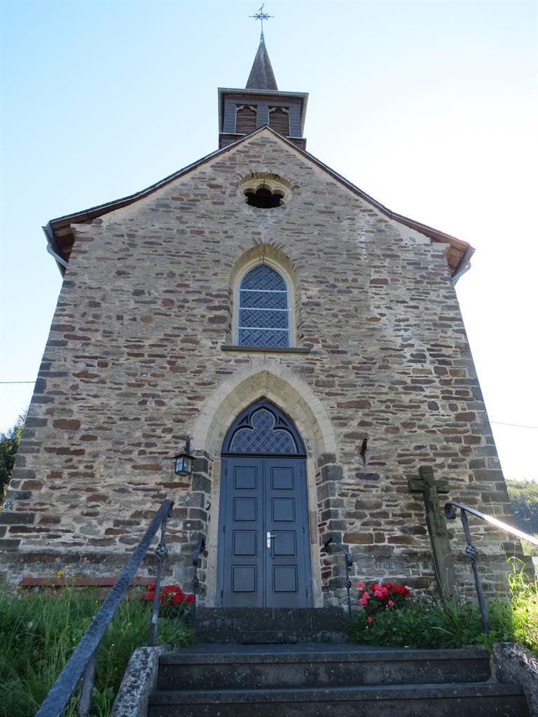
- St. Antonius Chapel Kottenborn
- . Antoniuskapelle Kottenborn
If you want to extend the loop to around 20 km, you can use the signposted access path (2.6 km) to the route from the corner of Wimbachstraße and Hauptstraße in Adenau and then stop off at one of the town's cosy cafés and restaurants.
To the tour planner
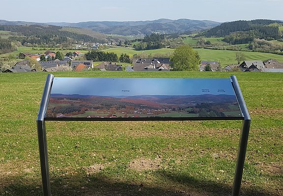
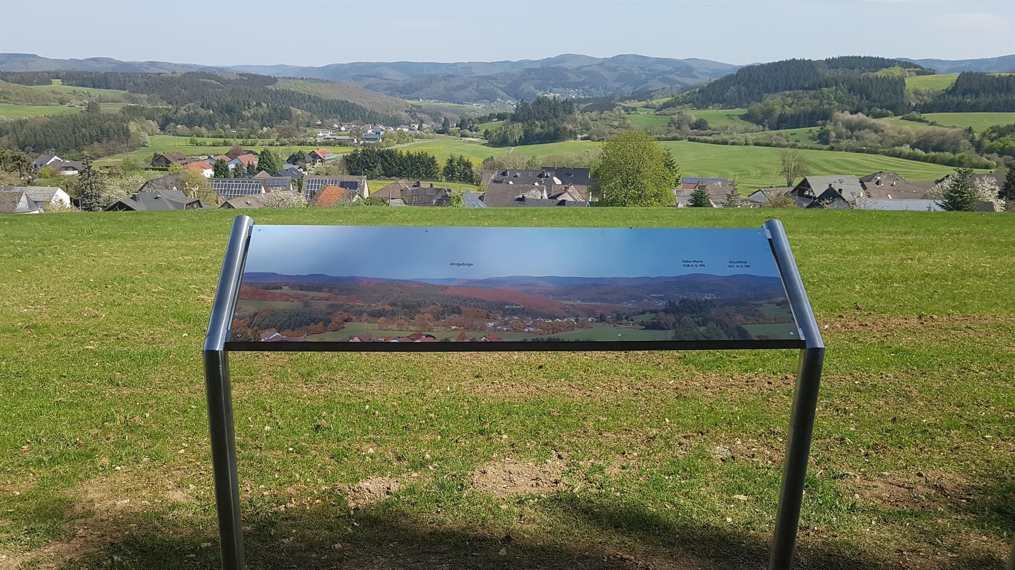
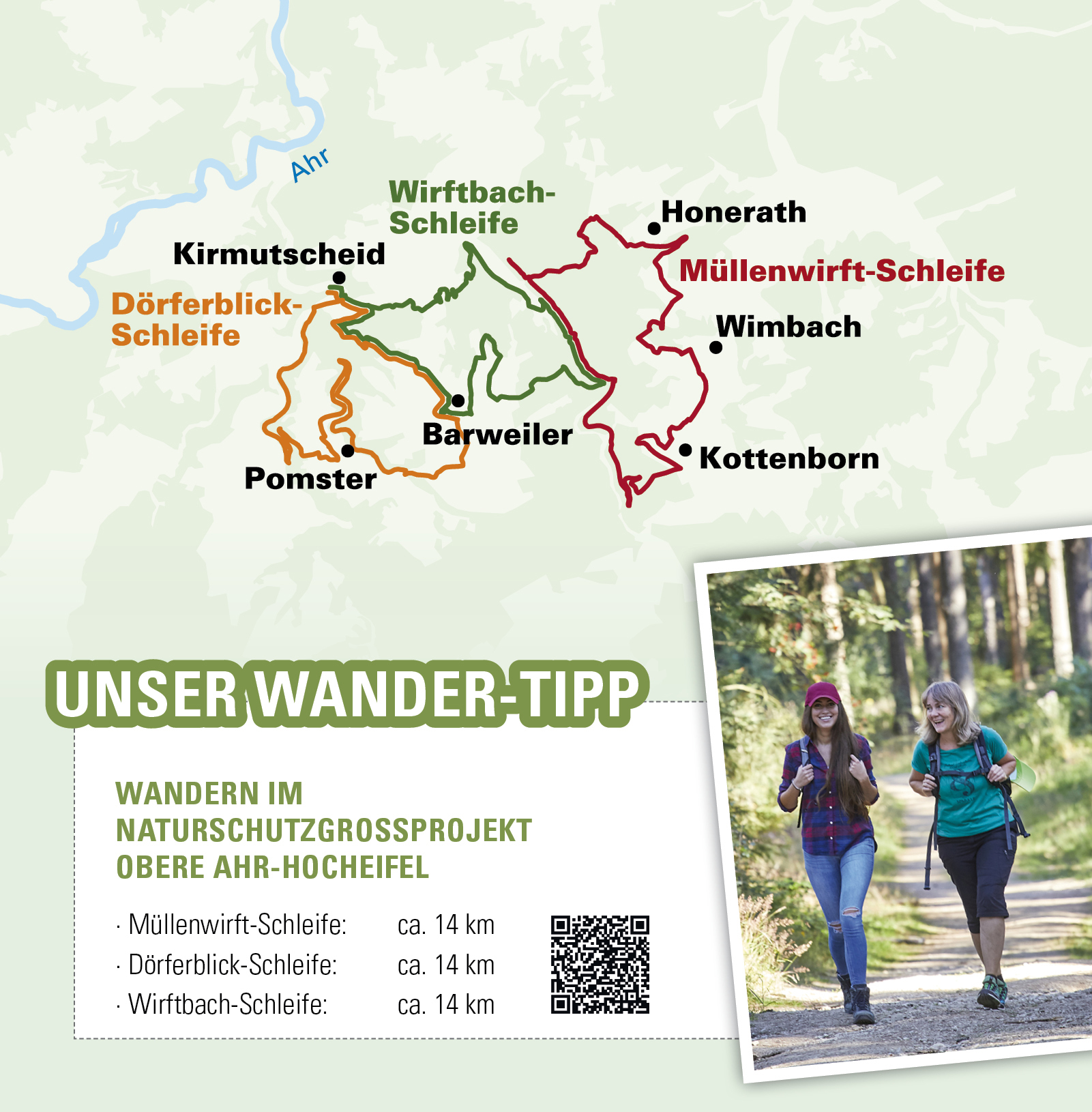
Starting from the Hubertushütte, situated above Wimbach, with a view of the Wimbach valley as far as the small town of Adenau and the Hohe Acht , the trail leads slightly uphill on the outskirts of Wimbach to the hilltop village of Kottenborn. Take a short break at St Anthony's Chapel above the village. This chapel was first mentioned in a document in 1403 and is one of the oldest sacred buildings in the High Eifel region. The trail continues into "Kottenborn Switzerland", where a panoramic view opens up on a ridge that is unique on this tour. Here it is time to pause and take a deep breath. The trail leads gently downhill through the Kottenborn forest into the Wirftbach valley. Coming from Wiesemscheid, a 1.6 km long access path joins the loop, accompanied by the babbling of the Wirftbach stream, the route descends for 4.2 km to the Kottenborn mill. Below the fishing ponds, the trail becomes a path and joins the K 3. The route continues past the site of an oil mill that no longer exists to the Barweiler mill.
The next stop is the "Müllenwirft" chapel. The route then goes back a short distance and then climbs slightly into the Selbach forest district in the direction of Honerath. Before Honerath, there is another extraordinary and marvellous view of the Adenauerbach valley and the Ahrgebirge mountains. The loop leads to the outskirts of Honerath and then continues slightly uphill through a deciduous forest to the ridge towards Wimbach. From here to the finish, the panoramic views change constantly and provide hikers with ever new, fascinating insights into the Hocheifel landscape.5em 0px; padding: 0px; border: 0px; font-variant-numeric: inherit; font-variant-east-asian: inherit; font-stretch: inherit; line-height: inherit; vertical-align: baseline; box-sizing: content-box;">Stages:
Wimbach/Schutzhütte - Kottenborn 1.8 km, Kottenborn - Barweiler Mühle 6.5 km, Barweiler Mühle - Honerath 3.5 km, Honerath - Wimbach/Schutzhütte 3.0 km
The route is signposted throughout with the trail logo.
- 14,8 km
- 3:30 h
- 298 m
- 296 m
- Round trip
- ZG Vielseitig Aktive (L)
- ZG Aktive Naturgenießer (L)
- ZG Kultur- und Landschaftsliebhaber (L)
- ZG Nur Wanderer (L)
- ZG Städte-Genießer (L)
- Family friendly
- Culture highlight
- Refreshment stop
- promising
- Hiker friendly
- Hiking
- Back for you