 EN
EN

Tour
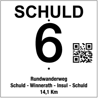
Circular Hiking Trail No. 6 (Schuld – Winnerath – Insul – Schuld)
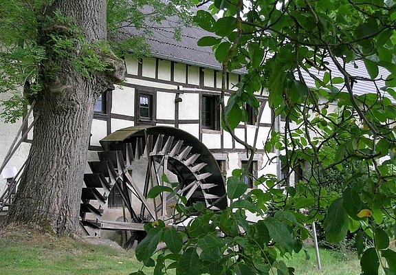
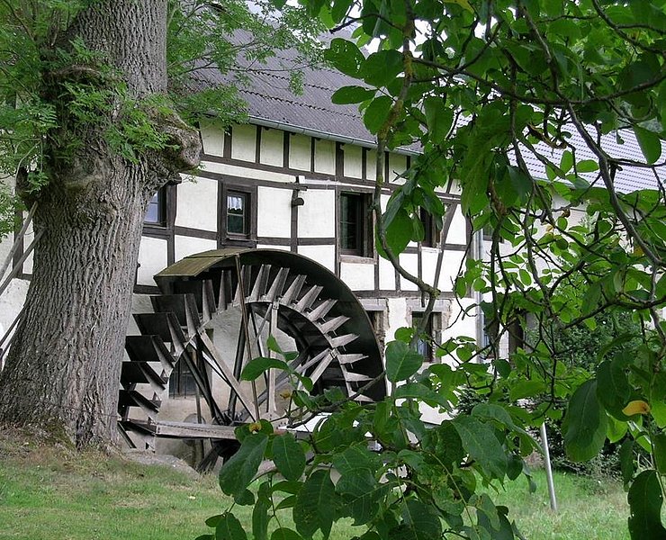
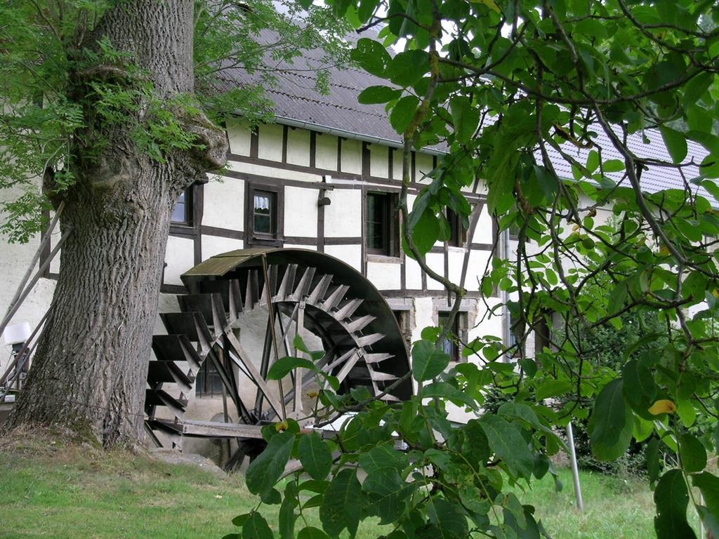
This is where the tour to the Schuld towers begins. The trail winds through the forest and across wide meadows with fascinating views all the way to the Siebengebirge mountains, passing through Winnerath on the way to Insul. At the mill pond there, we recommend a short detour to the “Hahnensteiner Mühle,” which dates back to 1556. Passing the mill weir, the trail leads over the Ahr Bridge to the AhrSteig. A detour to the “Goldloch” mining information center is well worth it : here you can discover information about copper mining and the local geology.
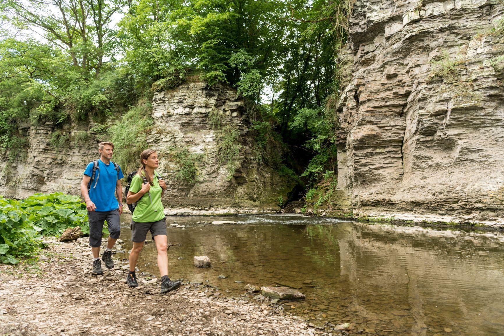
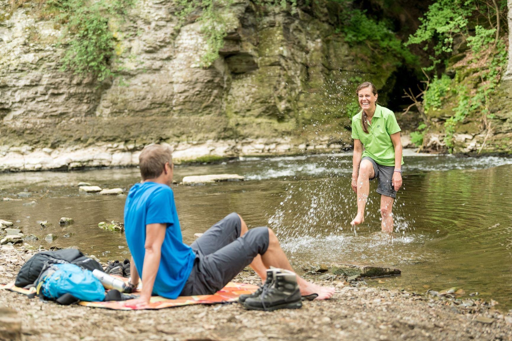
Another highlight of the tour awaits hikers a little further on: the “Prümer Tor” natural monument, an impressive rock crevice formed over millions of years by the force of water. It’s the perfect spot to take a break and enjoy a refreshing foot bath in the Ahr. If you continue along the AhrSteig, you’ll return to the starting point in Schuld.
Highlights along the way:
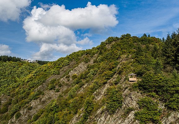
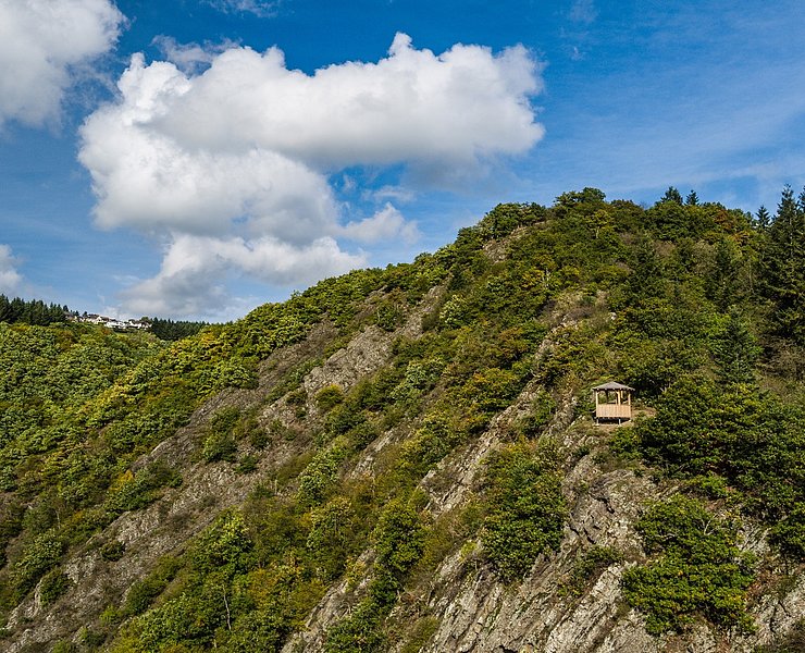
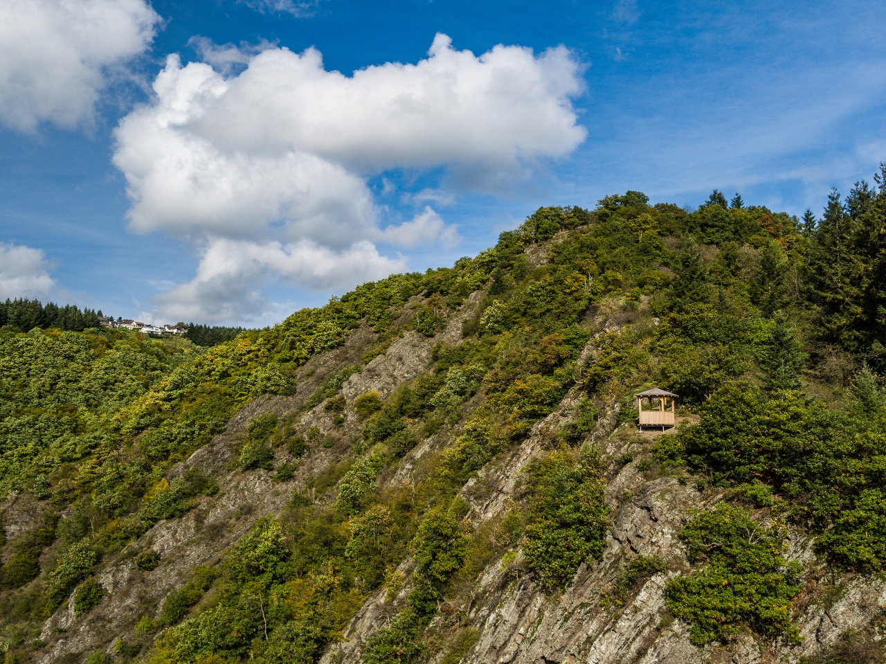
- Viewpoints: Schulder Türmchen
- Panoramic view of the Winnerath Game Reserve
- Panoramic view of Winnerath Heights
- Hahnensteiner Mill
- Goldloch Information Center
- Prümer Tor Natural Monument
Visit the restaurants in Schuld and Insul. Please check their opening hours in advance.
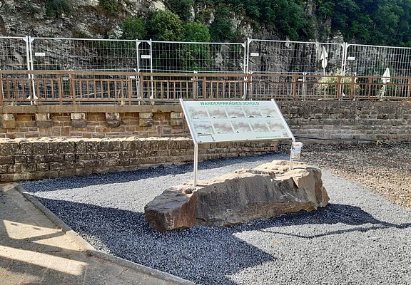
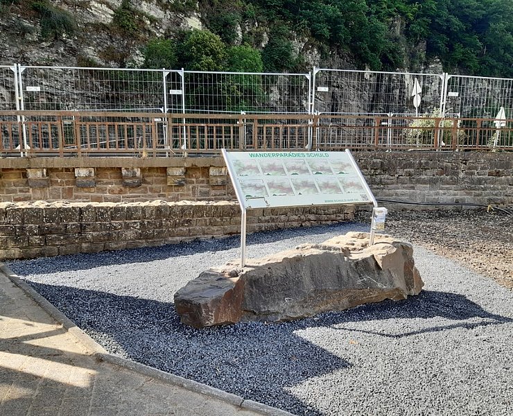
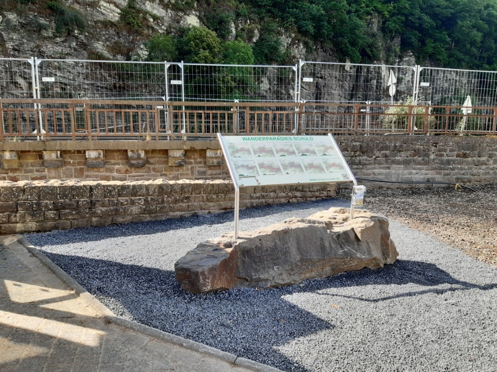
We begin our “Schuld-Winnerath-Insul-Schuld” hike in the town center, in front of the bridge at the “Wanderparadies Schuld” sign
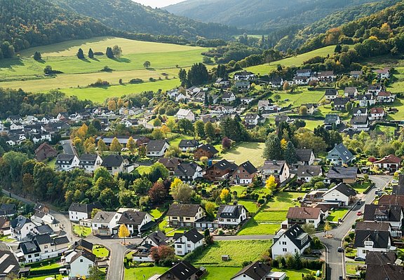
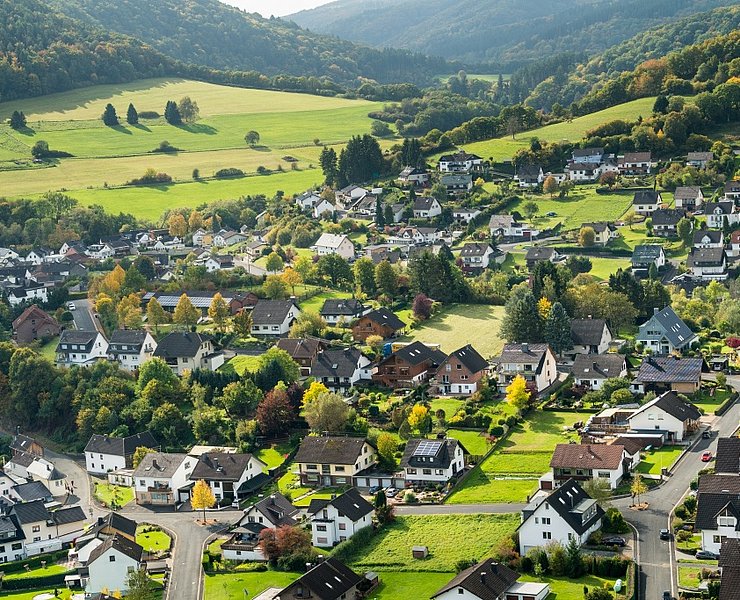
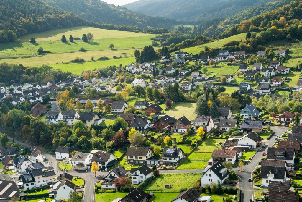
.First, we follow the sidewalk across the bridge toward the church; there, we cross the street and follow it a few meters uphill. Past a rest area with a wooden cross, we turn right onto a meadow path until we reach a small hiking parking lot . To the right of the parking lot, a hiking trail leads us uphill toward “Zu den Türmchen.” Along the way , we can enjoy the beautiful view of Schuld from two lookout points. From the second viewpoint, we continue following the trail up the hill until we reach a forest path. We follow this path to the right, always skirting the edge of the forest. After about 200 m, we come to a fork in the trail, where we turn left.
We
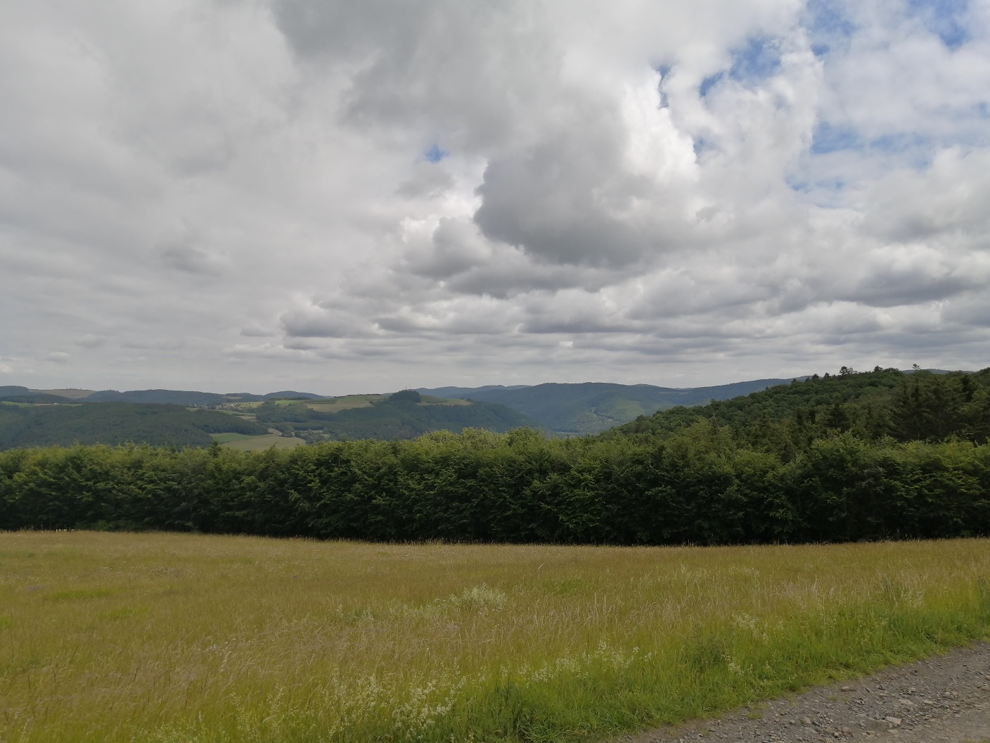
continue past a large meadow with a beautiful view over the surrounding Eifel landscape all the way to the “Hohe Acht.”
After crossing a short stretch of forest
,
we first head left and then right again
,
continuing along the edge of the forest. We stay on this path for a while. After a left turn, we leave the path and continue straight ahead, passing a hedge. At the end of the hedges, we keep to the right and walk in a left curve toward the edge of the forest, which we follow for a short distance. We take the next path to the left downhill toward Winnerath, pass a bush and a wayside shrine, and continue straight ahead along a paved farm road toward Winnerath. Before entering the village, we come to the K 16, which we follow to the right for about 50 meters, then turn left onto the paved village street and head uphill into the village. At the top, we come to a village fountain and first turn left onto Mittelstraße, then continue along Kapellenstraße out of the village. The village road turns into a paved farm road. After passing through a small valley, we reach an open plateau with meadows and fields. From up here, on a clear day, you have a fantastic view across the landscape all the way to the Siebengebirge. The path occasionally turns into a dirt road, which ends at a crossroads at the edge of the forest. We take the left forest path, which now leads slightly downhill, and stay on it until we reach another crossroads with a wayside shrine. Along the way, the forest offers a beautiful view of the valley and the village of Insul, which we’ll walk through later. We continue slightly to the left on the middle path until the next left-hand curve. We leave the trail and turn right onto a narrow path. This leads us first through the forest and later over a rocky ridge, continuing downhill. The final section of the path takes us down a few rocky steps. Sure-footedness is required here, and caution is advised when the ground is wet. At the end of the trail, we come to a meadow path, which we’ll now follow to the right. We’ll then rejoin a paved village road, which we’ll follow 150 m to the left. Here, we cross the country road and hike on the opposite side, passing the houses on the right until we reach the mill pond.
On the right, we see the “Hahnensteiner Mühle,” built in 1556. A short detour is recommended.
Our tour continues along the mill pond and past the mill weir until we reach the Ahr Bridge, which we cross. At the end, we turn left onto Überdorfstraße and follow it until we reach the bike path; we follow this to the left for about 200 meters and then turn left again to join the AhrSteig
.
Along the way, you’ll pass three former copper mines at the so-called “Goldloch.” It’s worth a visit.
The AhrSteig runs parallel to our route until just before Schuld, then turns right and heads uphill. We, however, follow the path straight ahead into the village, cross the “Domhof,” and turn left onto a steep path about 50 meters past the Ahr Bridge. At the top, we follow the road to the left and find ourselves between the “Arya Pizzeria” restaurant and the “Schäfer” hotel and restaurant. Now we just need to follow the main road to the right until we reach the starting point of our hike.
- Round trip
- Hiking trail
- Hiking

source
tourist-information-hocheifel-nuerburgring
·
Author:
Daniela Schmitz / Tourist-Information Hocheifel-Nürburgring
















