 EN
EN

Tour
Taster route on the AhrSteig with public transport connection (Laufenbacherhof - Insul)
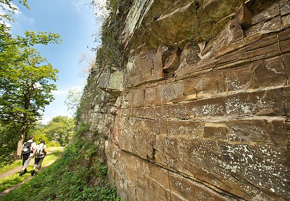
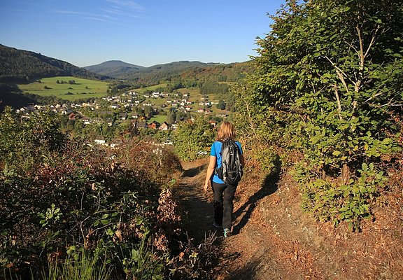
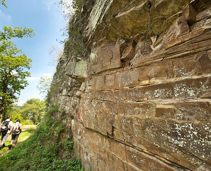
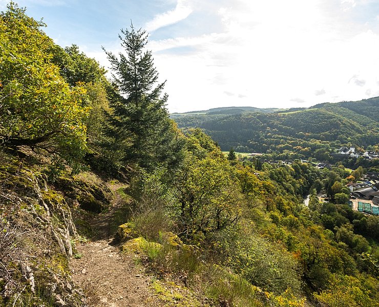
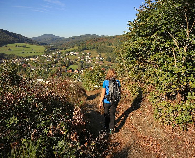
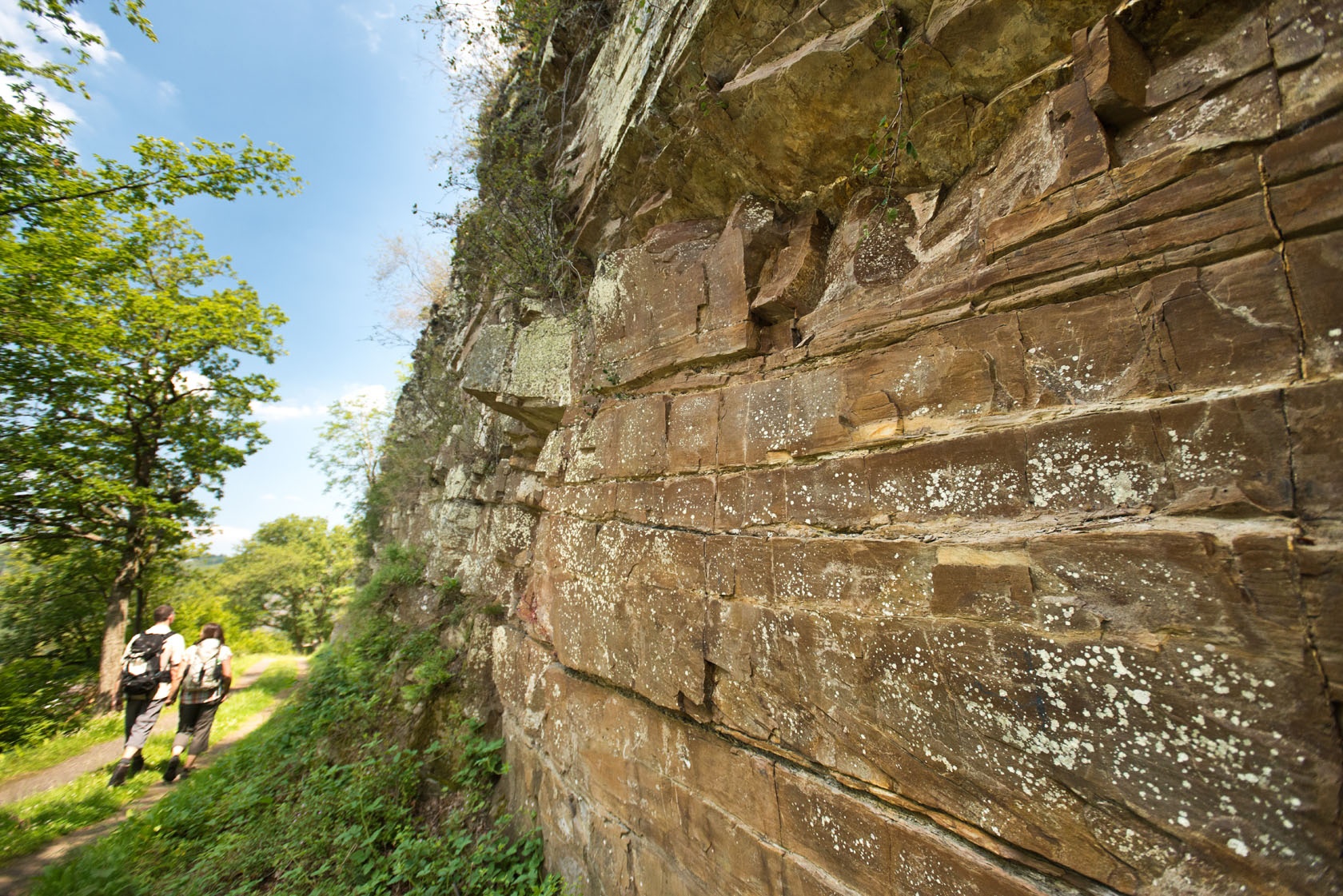
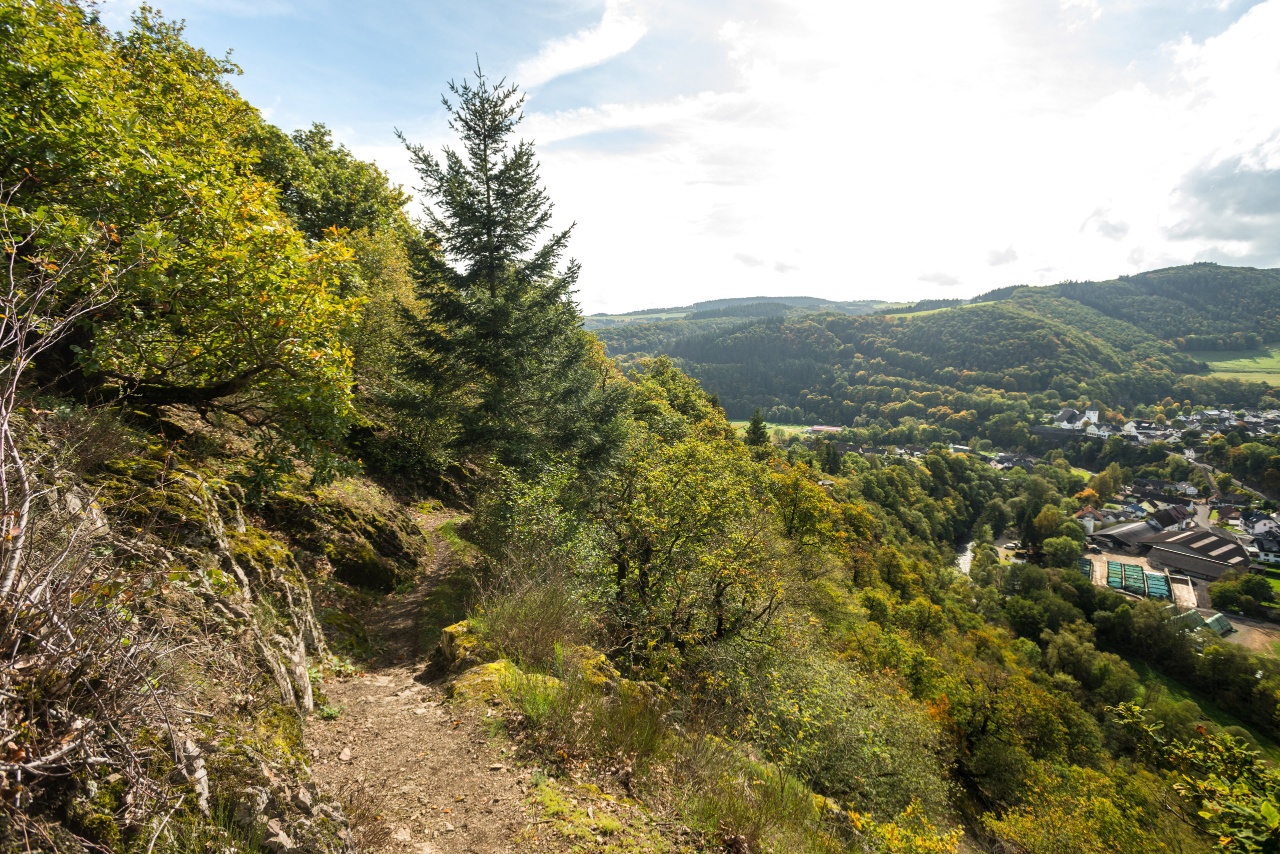
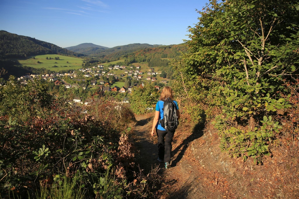
The starting point Laufenbacherhof is easily reachable by public transport. A soft forest path initially leads gently and soon more challengingly over the spectacular Jägerpfad towards Sandstone rocks, which have found their place rugged and angular. They emanate strength and steadfastness; they were already there before people found their paths in this region. A break for a picnic in Schuld is recommended after the first experiences.
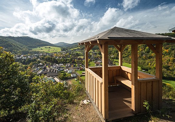
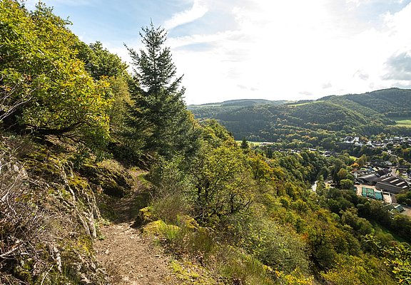
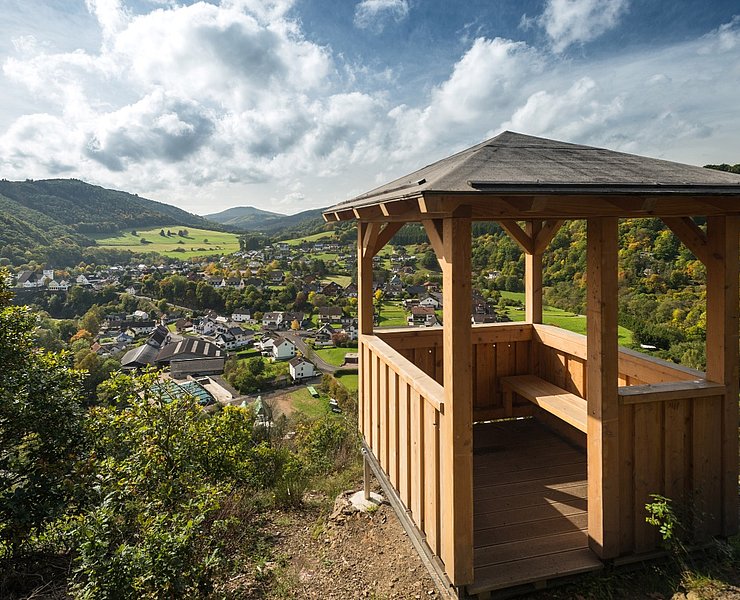
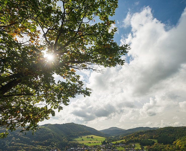
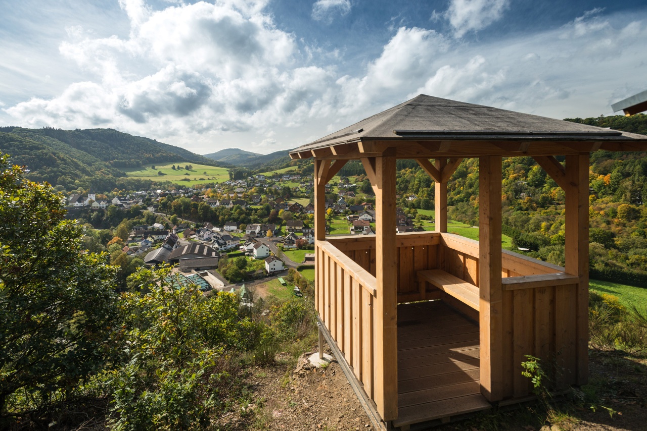
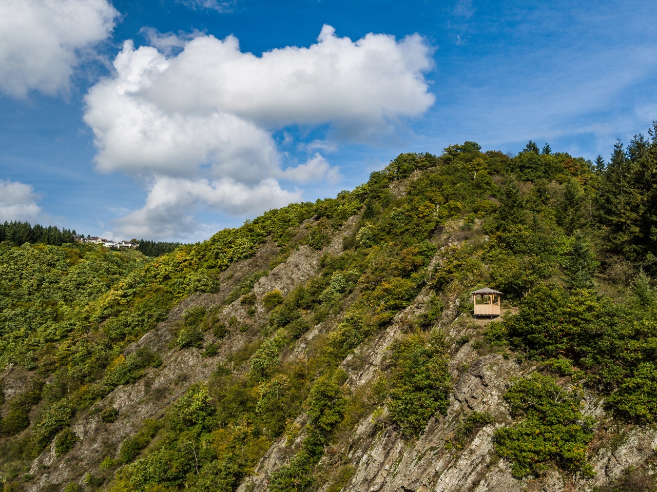
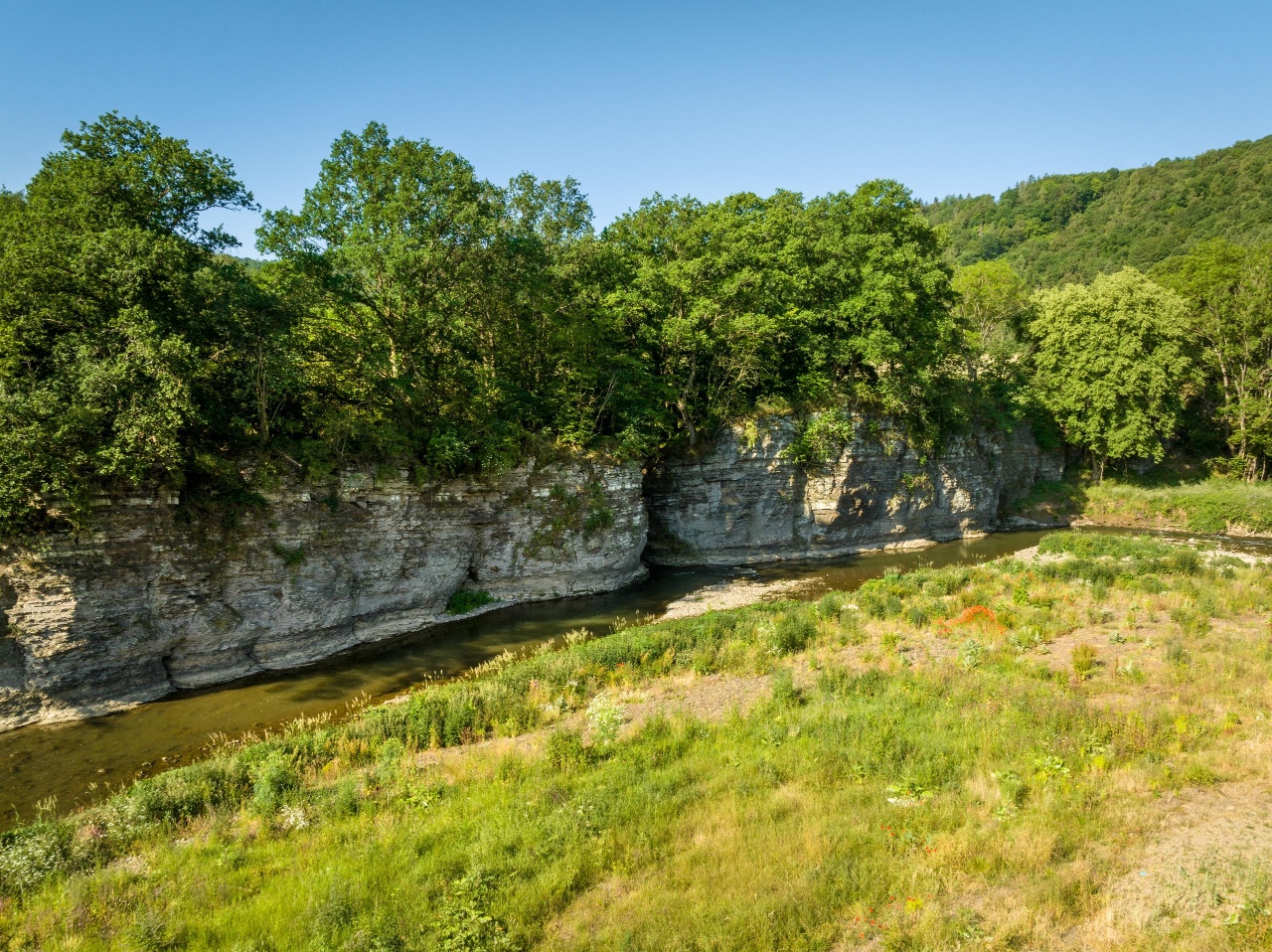
Refreshed, the hiking route continues to the Spicher Ley rock massif. On a narrow path, the trail winds ever higher until the small hut is reached in the middle of the rock. The view into the Ahr valley is breathtaking, magical and simply beautiful. How long did the elements take to form this landscape? The path then leads back down to the valley to the Ahr. Water shaped over millennia the Prümer Tor rock cut, through which vassals once carried their tithe by cart to the feudal lord. Insul is now almost reached and the desire to see more of the AhrSteig arises. Perhaps next time?
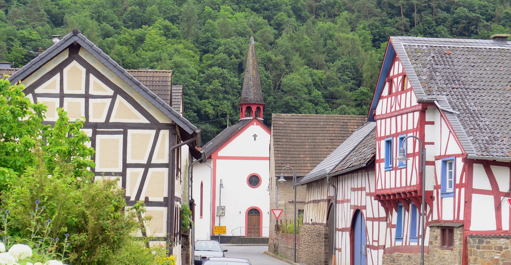
In Insul, a country inn and country hotel invite you to a relaxed break. Afterwards, it goes back to the starting point with bus lines 861, 865 or 899.
Timetable info and further boarding options at https://www.vrminfo.de/
Highlights along the way:
- Jägerpfad
- Sandstone rocks Schuld
- Spicher Ley rock massif
- Natural monument Prümer Tor
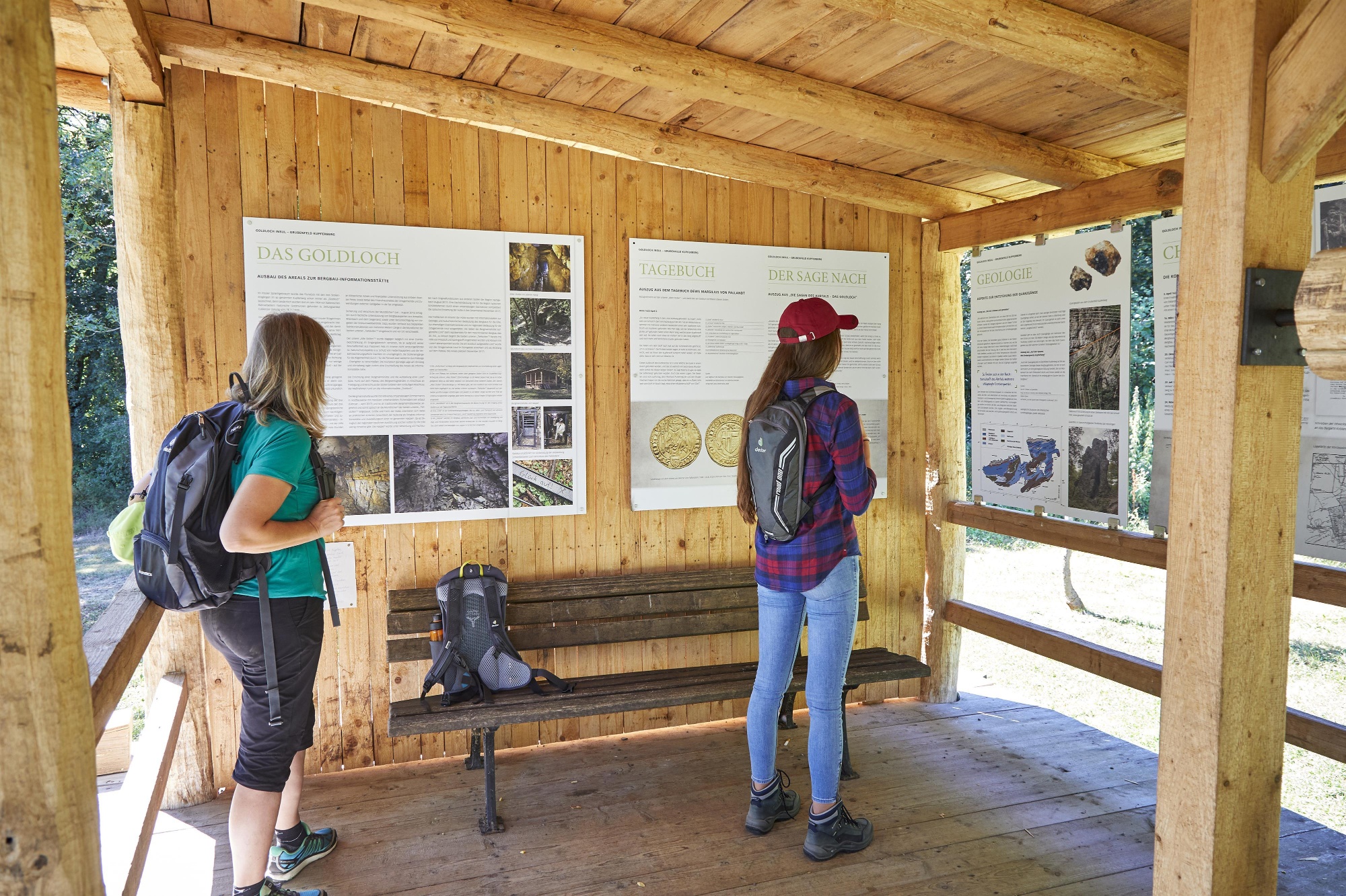
- Mining information center Goldloch
Route: Laufenbacherhof - Jägerpfad - Schuld - Spicher Ley - Prümer Tor - Insul
The route is continuously marked with the blue AhrSteig trail logo (in both directions).

- Route tour
- Long-distance hiking trail
- Hiking trail
- Hiking

source
Eifel Tourismus GmbH
·
Author:
Daniela Schmitz / Tourist-Information Hocheifel-Nürburgring
















