 EN
EN

Tour
Fürstin-Margaretha-Weg
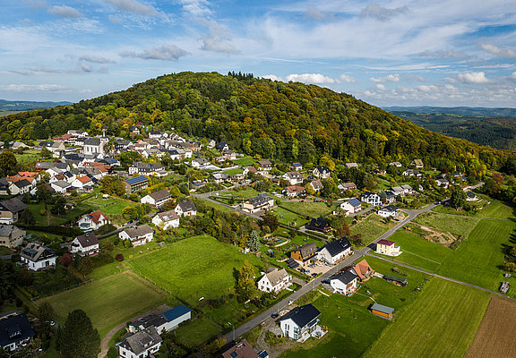
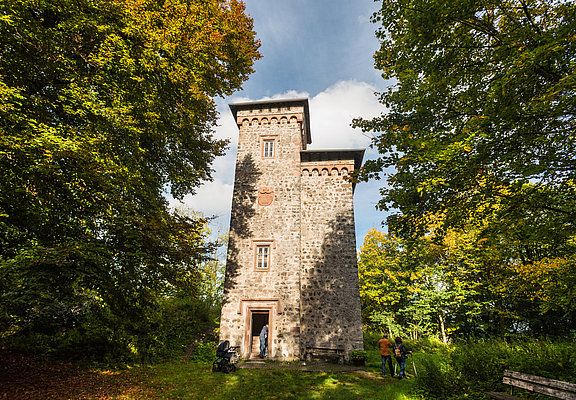
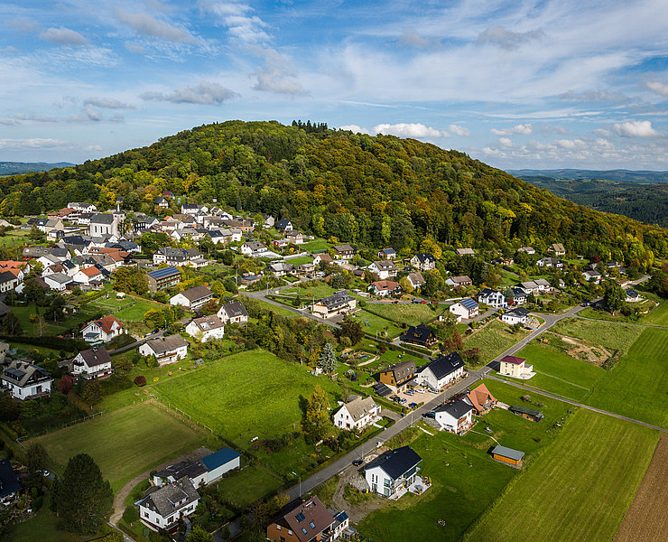
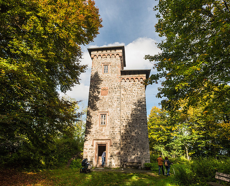
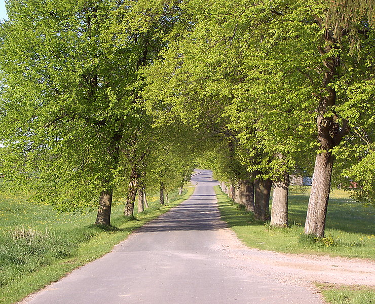
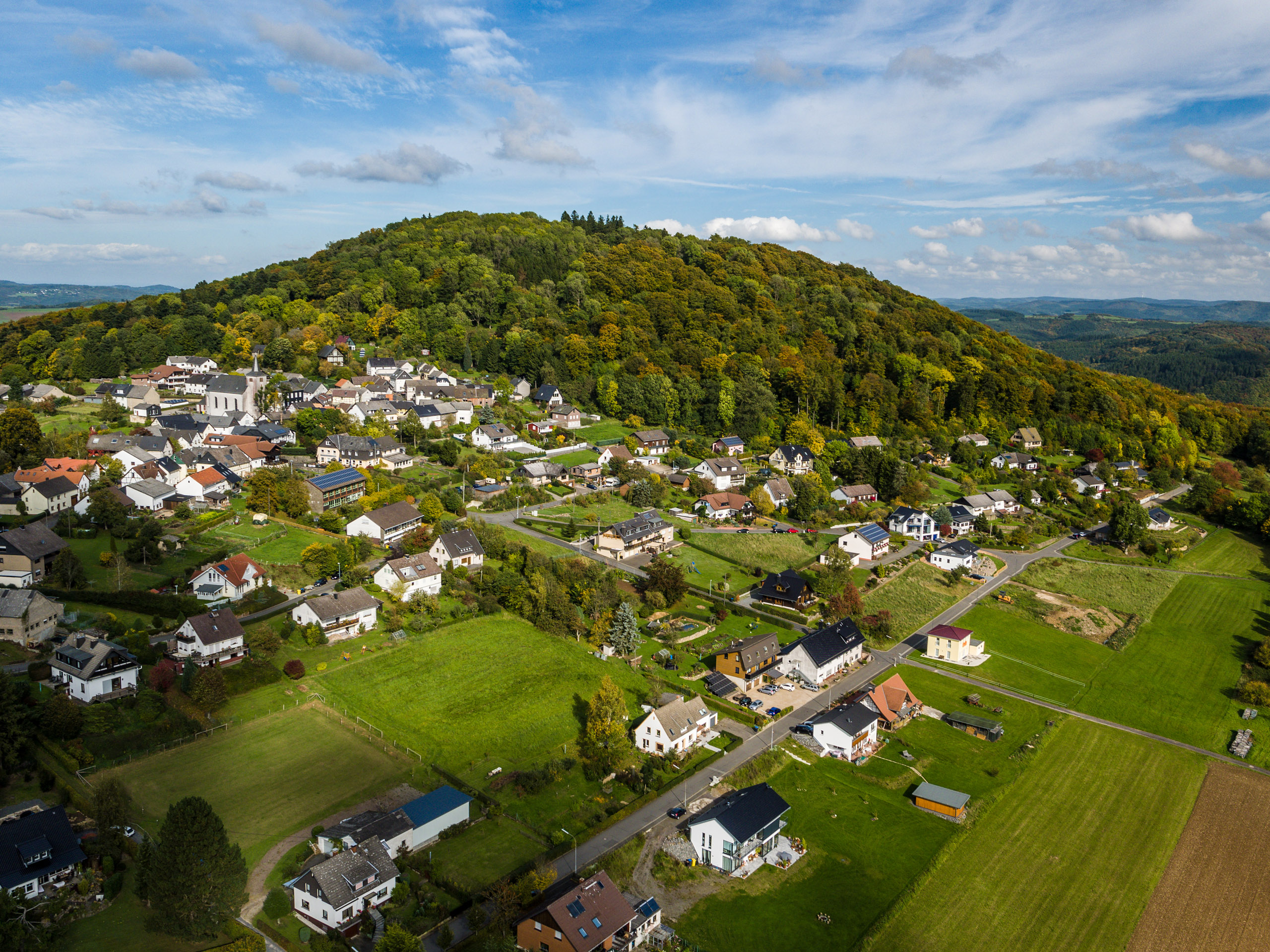
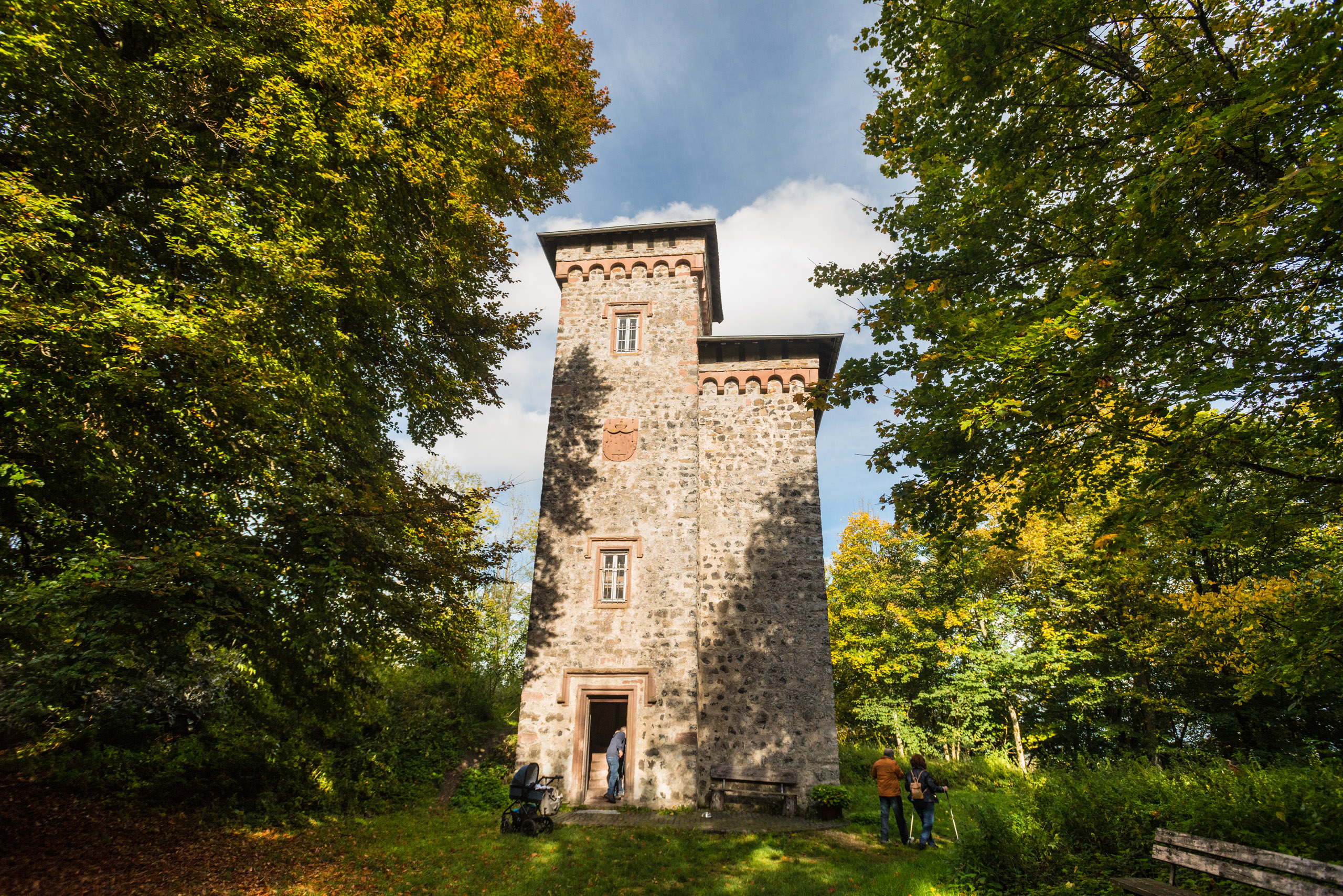
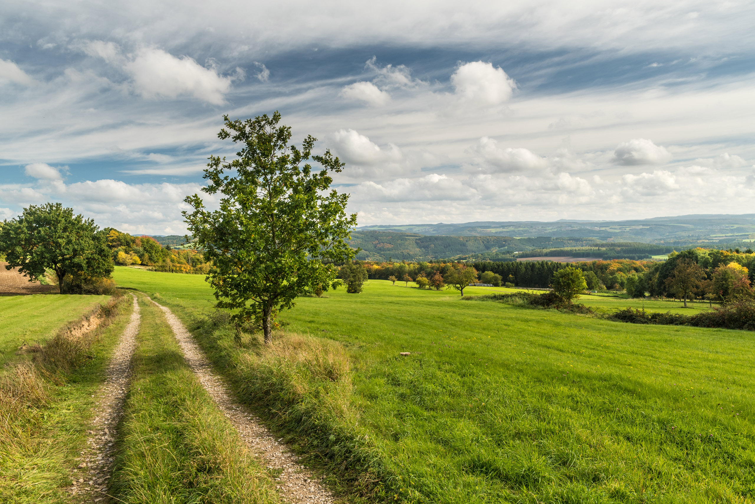
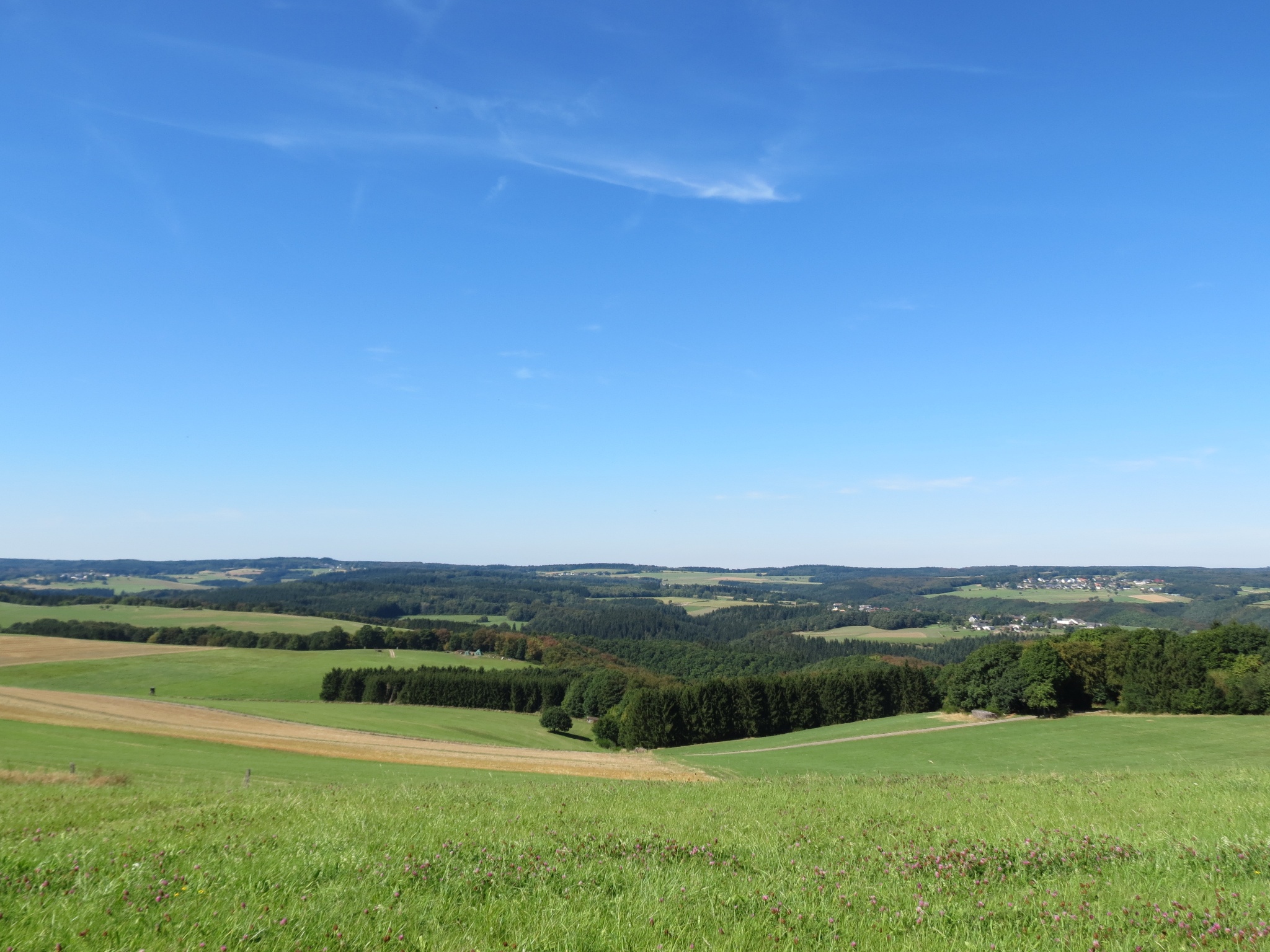
The circular hike "In the footsteps of Princess Margaretha" with wonderful views leads through almost untouched valleys and mountain ranges of the Eifel. From Wershofen you have a fantastic view of the unmistakable Aremberg. The tower of the once imposing fortifications, built around 1854 from the surrounding rubble and wall remains, rises up in Aremberg today.
The route can also be completed in two stages via a short connection.
To the tour planner
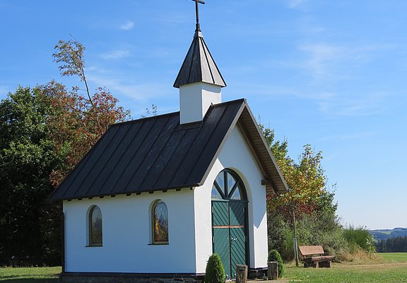
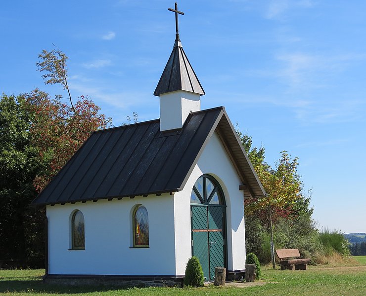
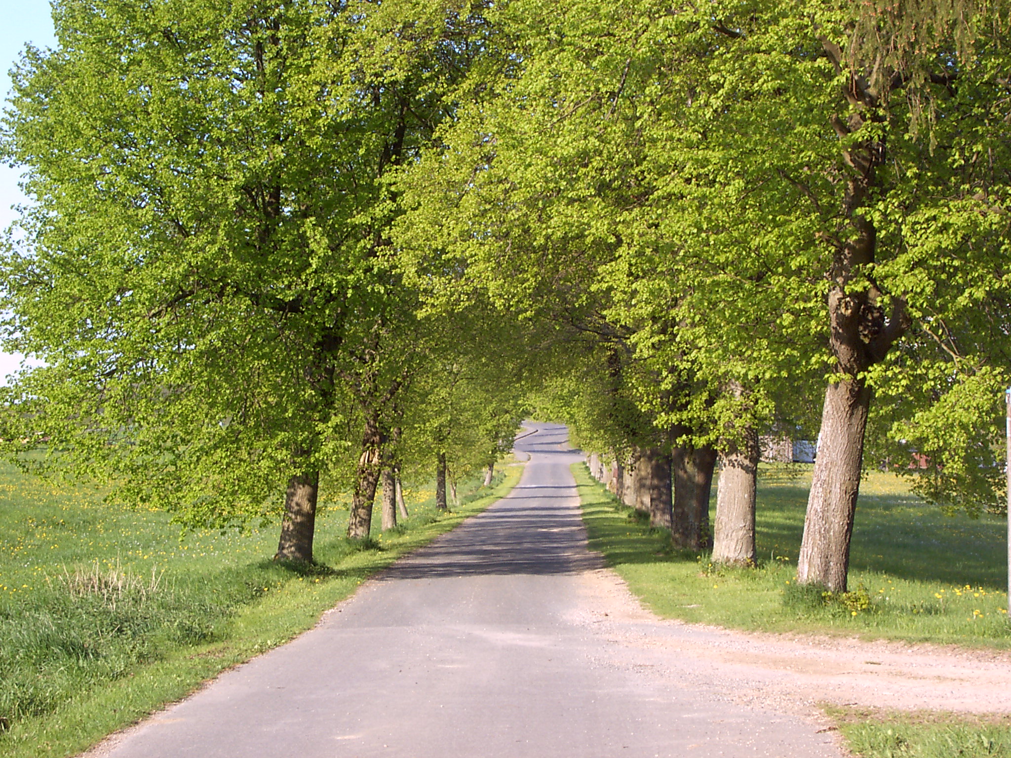
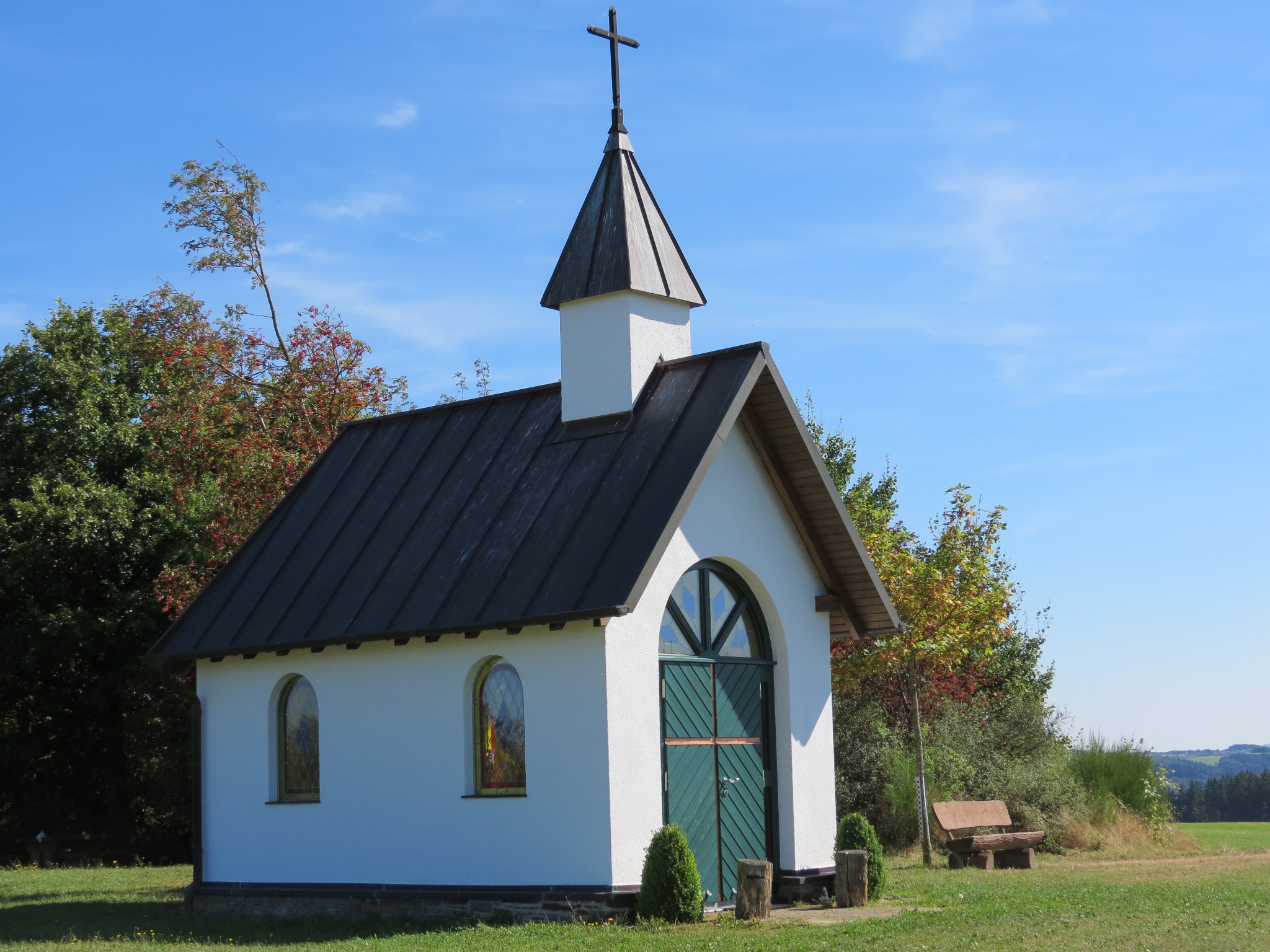
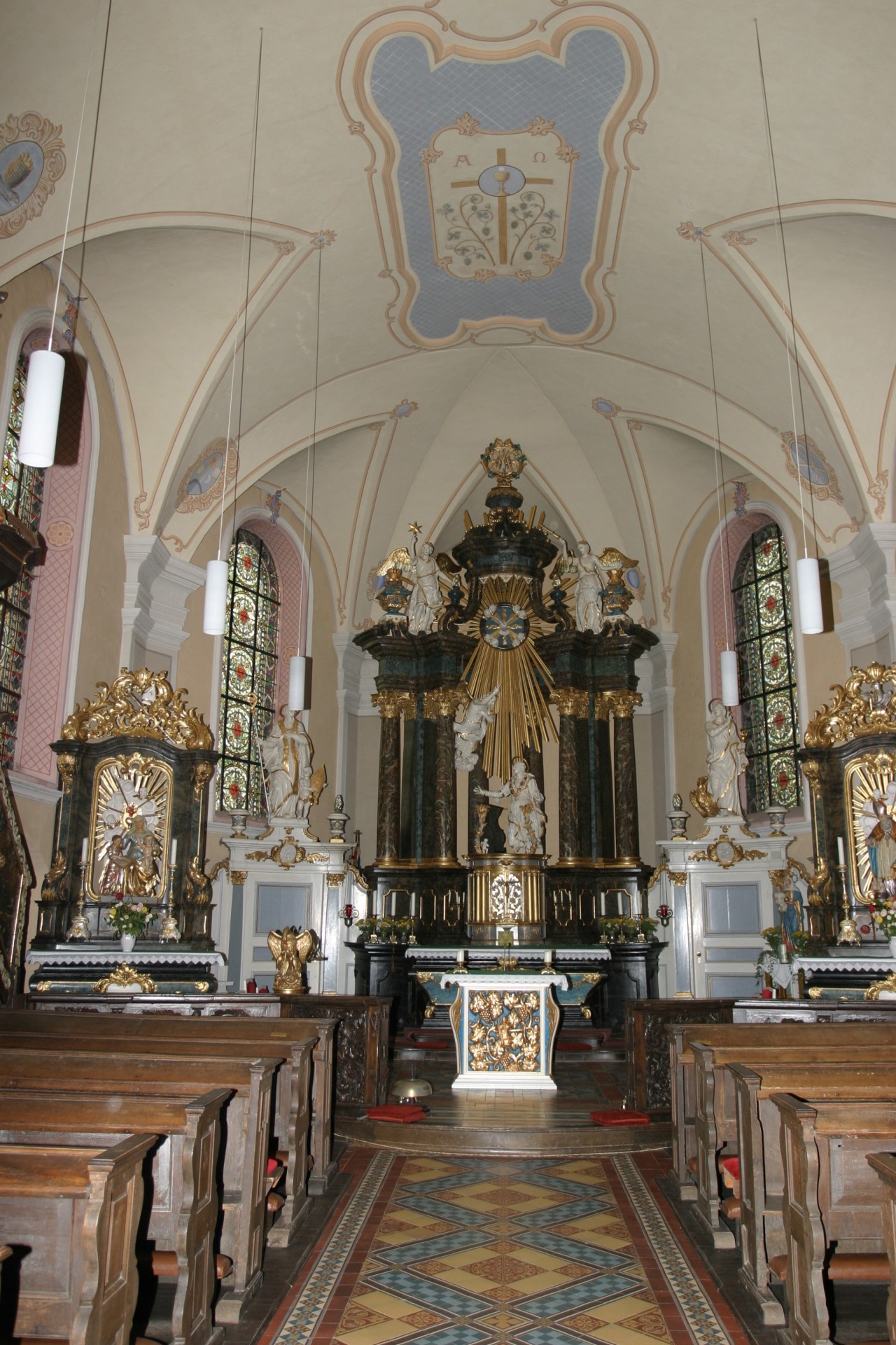
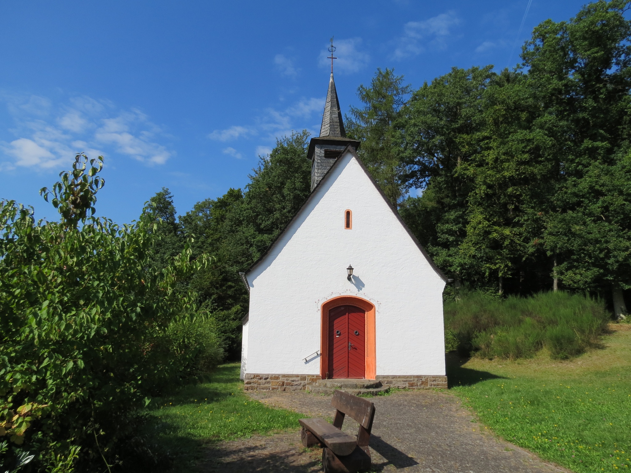
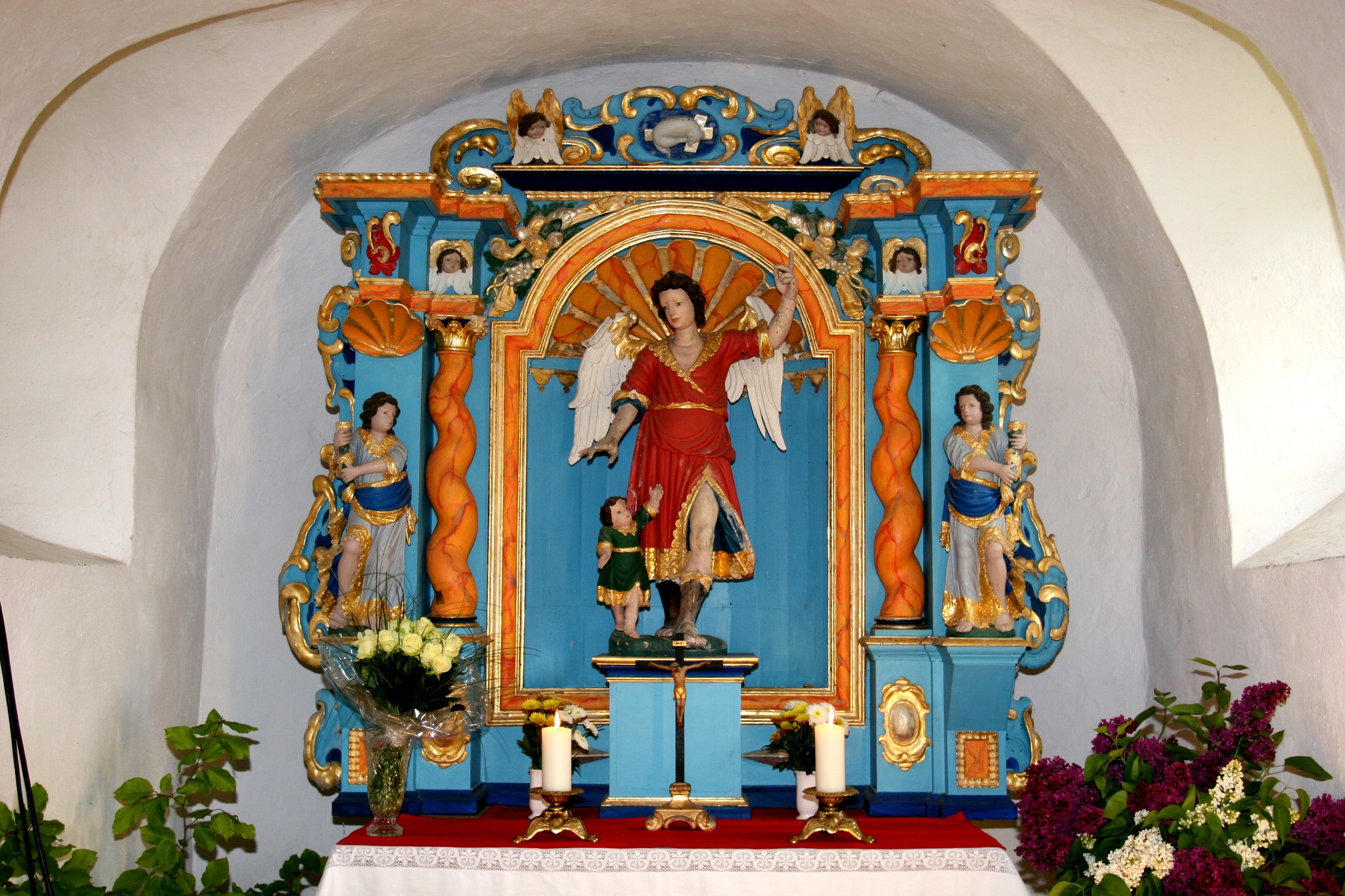
The hiking route leads from Aremberg via Kapellenstraße towards the state border of North Rhine-Westphalia, Lommersdorf. From Kapellenstraße, you have a beautiful view of the Nürburg and the Nürburgring. The path continues past the Schutzengelkapelle chapel. After the Second World War, bread from the neighbouring villages was blessed in the chapel once a year. At the state border with North Rhine-Westphalia, you walk up to the right along the district road K7 into the state forest. At the Gierscheid forester's lodge, the path goes left into the valley along the Gierscheidsseifen to the Dreisbach stream. At this junction there is a seating area where you can enjoy a picnic. The path leads along the Dreisbach stream to the right, past a beautiful pond. You then come to a crossroads, where you turn half left up towards Wershofen walk. Below the sports field, the path leads out of the forest to the L74 country road. Turn right and continue to Wershofen. In Wershofen, turn right into Nordstraße until you reach Hotel Kastenholz, where you can visit a large game reserve. Here the path crosses the L74 again. In the direction of Kottenbornerstraße to Kottenborner chapel. From here you have a very good all-round view. In fine weather as far as Cologne Cathedral. A seating area here also invites you to have a picnic. Past the chapel, the hiking trail leads downhill across meadows through the forest towards Laufenbacher Hof. At the bottom, the path crosses the L73 and the Dreisbach until just before the tunnel. From here it goes uphill to the right, on the left you can see the village of Fuchshofen can be seen. The path continues to the meadows of Eichenbach. You can see Wershofen and Ohlenhard on the right, and after a few hundred metres there is a beautiful open hiker's hut on the left. There are information boards on which the local animals from the region can be seen. After approx. 400 metres there is a chapel, from here you can already see Eichenbach. There is no mobile phone connection in the village, regardless of the network. If you want peace and quiet, this is the right place. Past the pubs, the path turns left into Meisenweg in the direction of Antweiler. Halfway up the path, you can see Reifferscheid and Winnerath on the left. Continue along Buchenallee downhill to Antweiler past the Fürstin-Margaretha-Schule school. After 100 metres, the path turns right uphill to the starting point of Aremberg. Halfway up, there is another beautiful view, up to the left past a chapel to Aremberg, where the castle tavern invites you to take a cosy break again.
Aremberg - 10,1 km Wershofen - 10,5 km Eichenbach - 4,3 km Antweiler 3,0 km Aremberg
All local catering establishments have been awarded the "Wanderbares Deutschland" seal of quality and thus guarantee a high level of quality.
The route is signposted throughout with the trail logo.
Shortcut:
In Wershofen, there is the option of shortening the route: after turning right from the main road into Südstraße in Wershofen, continue to the Dreißbachstraße junction. Here we first leave Fürstin-Margaretha-Weg and turn right into Dreißbachstraße onto the connecting path in the direction of Eichenbach. The connecting path is marked with a "V". We follow this signposting and reach the 14-Nothelfer chapel before Eichenbach after approx. 3 km. At the 14-Nothelfer chapel, we rejoin the main Fürstin-Margaretha-Weg trail, which we follow into the idyllic village of Eichenbach.
In Wershofen, you have the option of shortening the route: to do so, turn off the main road onto Dreißbachstraße in the centre of the village and follow the signs for the connecting path, which is marked with a "V". After approx. 3 km, you will reach the village of Eichenbach.
(Alternatively, you can also follow the route On the trail of old mills which runs parallel to the main hiking trail of the Eifelferein | Wasserfallweg after approx. the village of Eichenbach after just under 2 kilometres)
There is also a shortcut between Eichenbach and Aremberg via a connectionpath.
- 28,4 km
- 7:30 h
- 653 m
- 669 m
- ZG Vielseitig Aktive (L)
- ZG Aktive Naturgenießer (L)
- ZG Kultur- und Landschaftsliebhaber (L)
- ZG Nur Wanderer (L)
- ZG Städte-Genießer (L)
- Round trip
- Theme trail
- Culture highlight
- Refreshment stop
- promising
- Hiker friendly
- Back for you
- Hiking
















