EN
EN

Tour
Auf den Spuren der Ordensritter: Rundtour in 2 Etappen
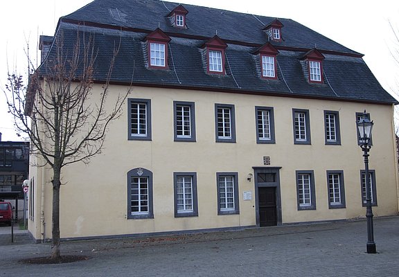
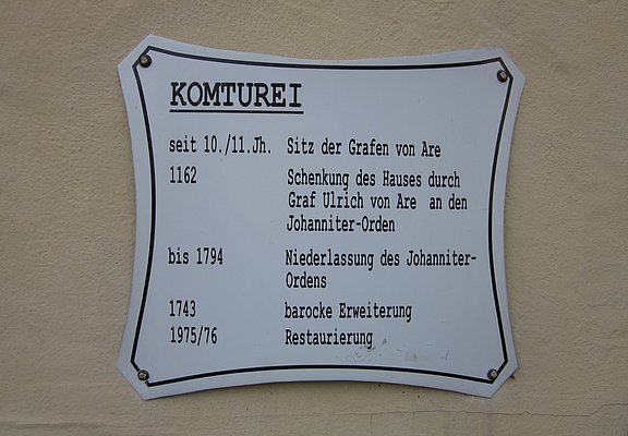
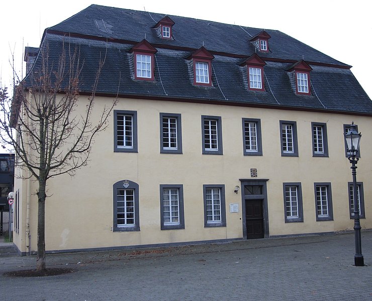
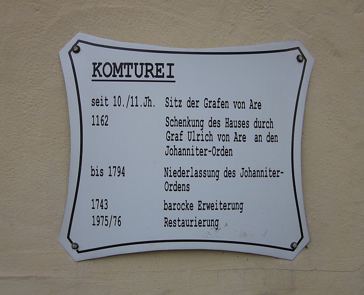
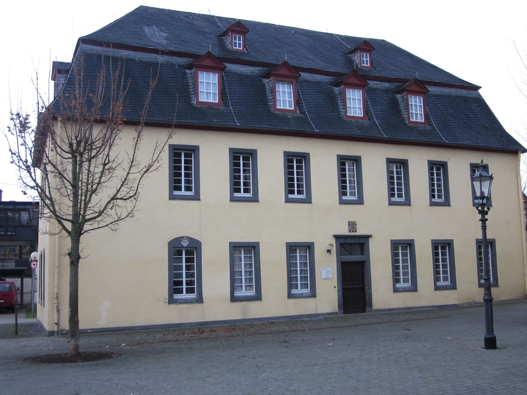
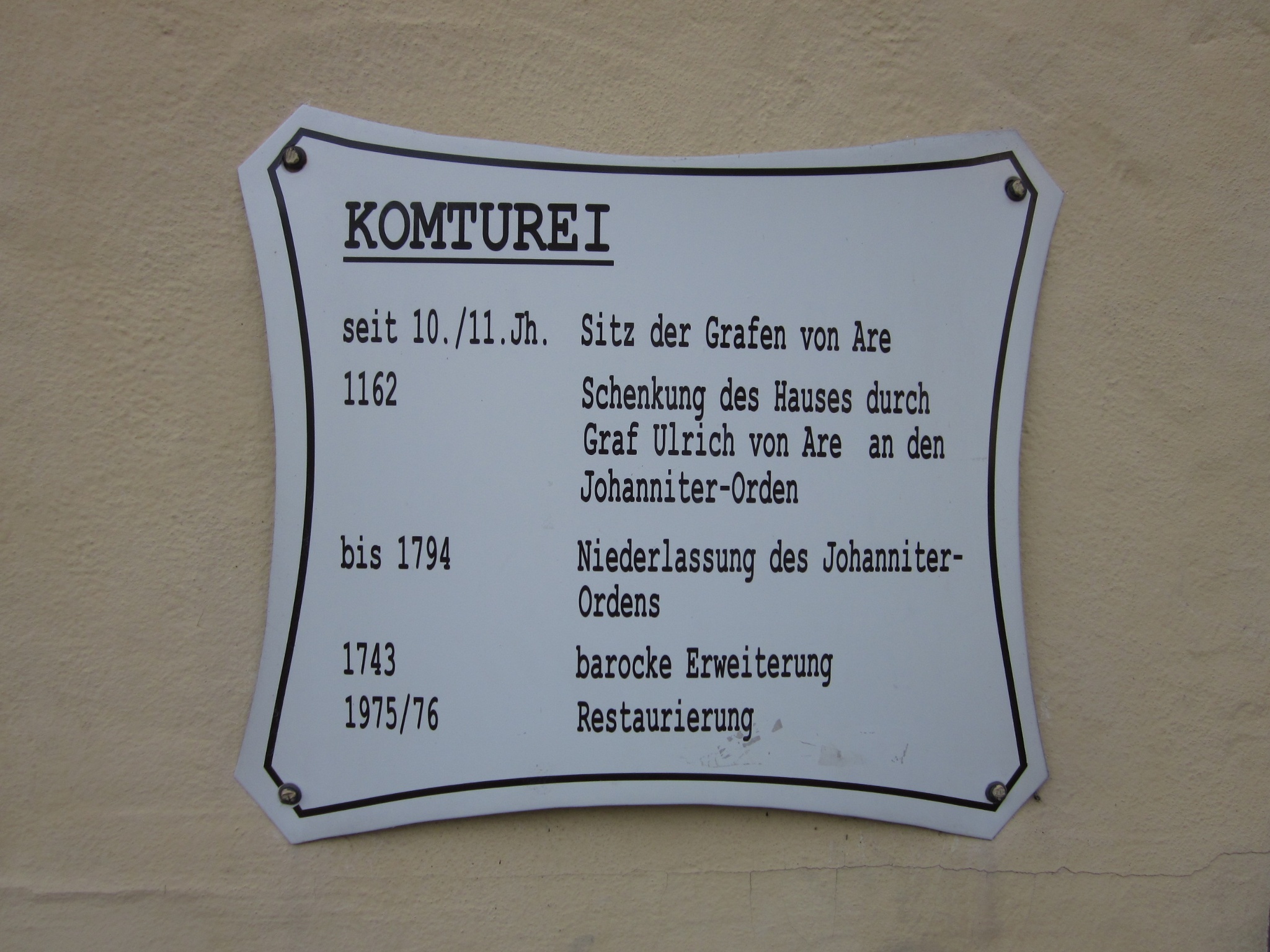
The best starting point for the two-day hiking tour is in Adenau at the Johanniter-Komturei, which is still a preserved part of the former manor of the Knights of St John, who settled in Adenau in 1162. From there, the route leads to the picturesque Müllenwirft Chapel, where the Adenau Commandery had owned an estate with a farm and mill since 1588. Via Wirft, you continue to Kirmutscheid to the Catholic parish church of St Wendelinus, where the Adenau Order of St John was already active in 1224. Continuing via the hilltop village of Barweiler, you soon reach the destination of the first day's hike, St Anthony's Chapel in Kottenborn.
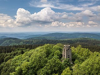
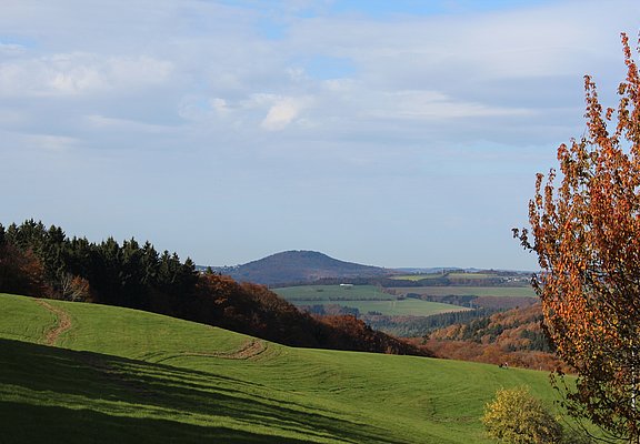
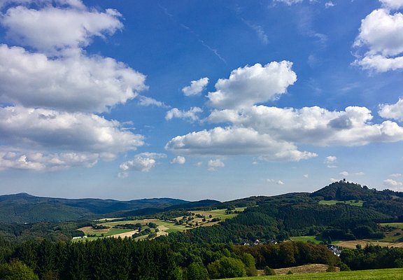
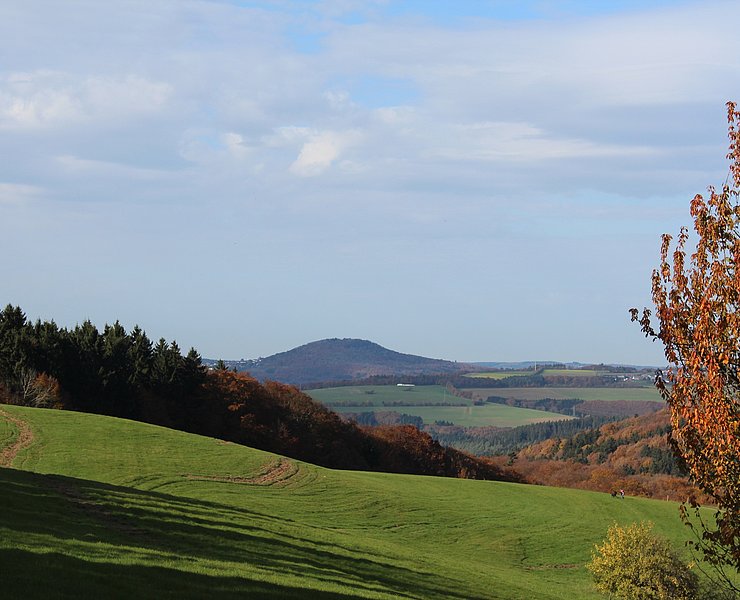
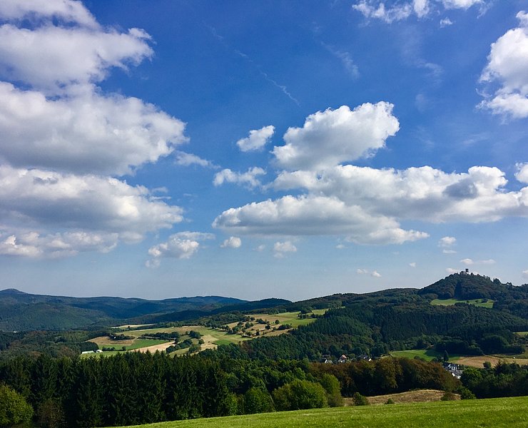
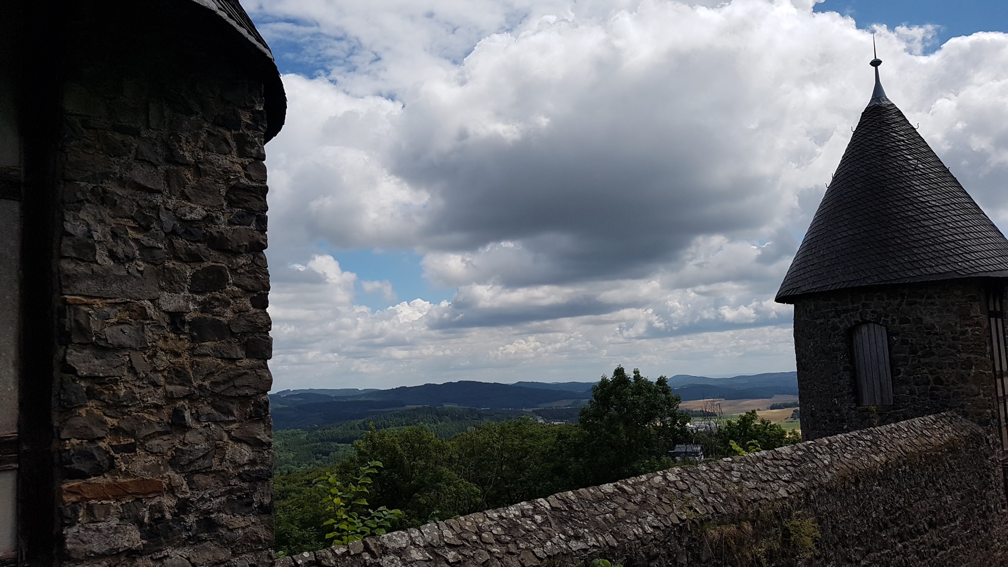
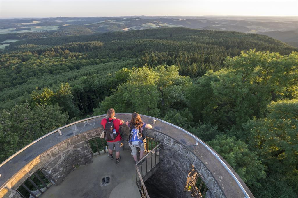
On the second day, the route leads a little way along the Nordschleife of the legendary Nürburgring. Visible from afar, the Nürburg castle complex in the village of the same name invites you to visit a short time later. On the summit of the Hohe Acht, the highest point in the Eifel at 747 metres above sea level, the Kaiser Wilhelm observation tower offers an exhilarating panoramic view of the Eifel landscape before heading back downhill to the starting point in Adenau.
To the tour planner
From Adenau, the route first leads steadily uphill to Wimbach and then downhill again to the Müllenwirft chapel, 5.5 km away. The route continues for 2.7 km in the direction of Wirft, before reaching Kirmutscheid with the parish church of St Wendelinus after 1.4 km. From Kirmutscheid, the hiking trail climbs steadily for 3.6 km to Barweiler. Around 145 metres in altitude are covered here. After a further 3 kilometres, which first lead down into the valley to Barweiler Mühle and then back up to Kottenborn, the first stage of the day is complete.
The second day of hiking begins with a route that leads past the "Schwedenkreuz" along the Nordschleife of the legendary Nürburgring. The hiker reaches the Nürburg castle complex in the village of the same name after around 6.3 kilometres. From the Nürburg, the hike continues for 8.5 kilometres to the highest point in the Eifel at 747 metres above sea level: the Hohe Acht. The descent from the Hohe Acht back to Adenau first leads to the "Müllers Kreuz", 2.8 kilometres away, and then brings hikers back to the starting point of the hike, the Adenauer Komturei, after another 4.4 kilometres.
The route is signposted throughout with the trail logo.
- 42,3 km
- 11:55 h
- 1.039 m
- 1.019 m

- ZG Vielseitig Aktive (L)
- ZG Aktive Naturgenießer (L)
- ZG Kultur- und Landschaftsliebhaber (L)
- ZG Nur Wanderer (L)
- ZG Städte-Genießer (L)
- Round trip
- Culture highlight
- Refreshment stop
- promising
- Hiker friendly
- Hiking
- Back for you