 EN
EN

Tour
Stage hike: Hocheifel-Panorama-Weg (Insul - Adenau)
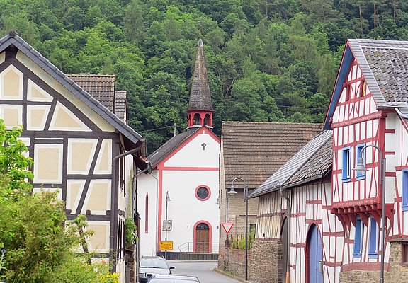
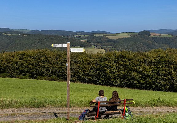
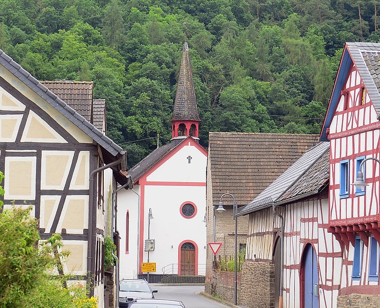
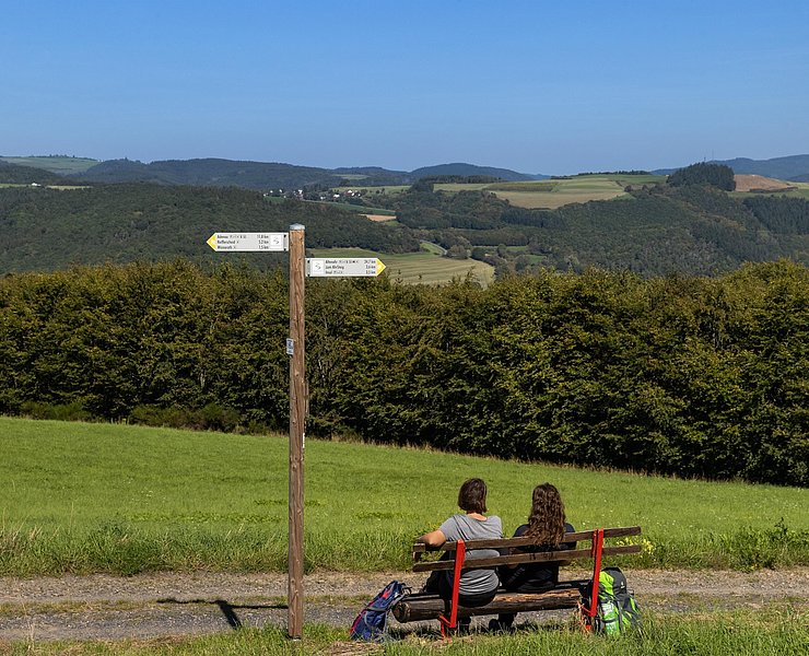
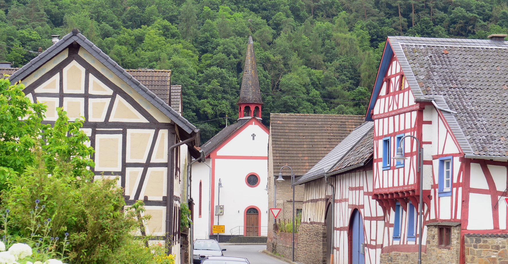
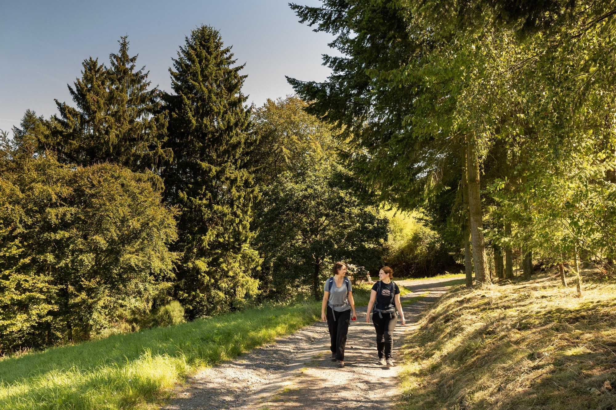
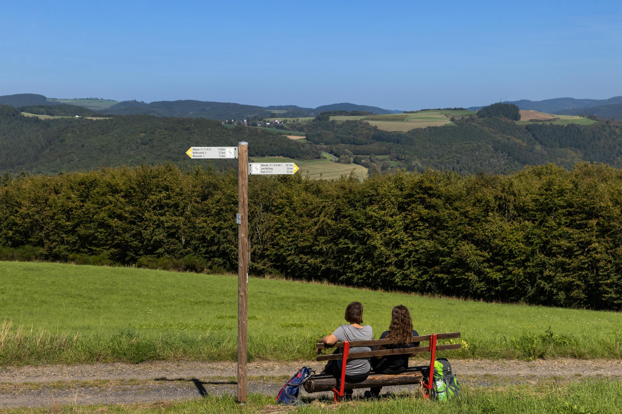
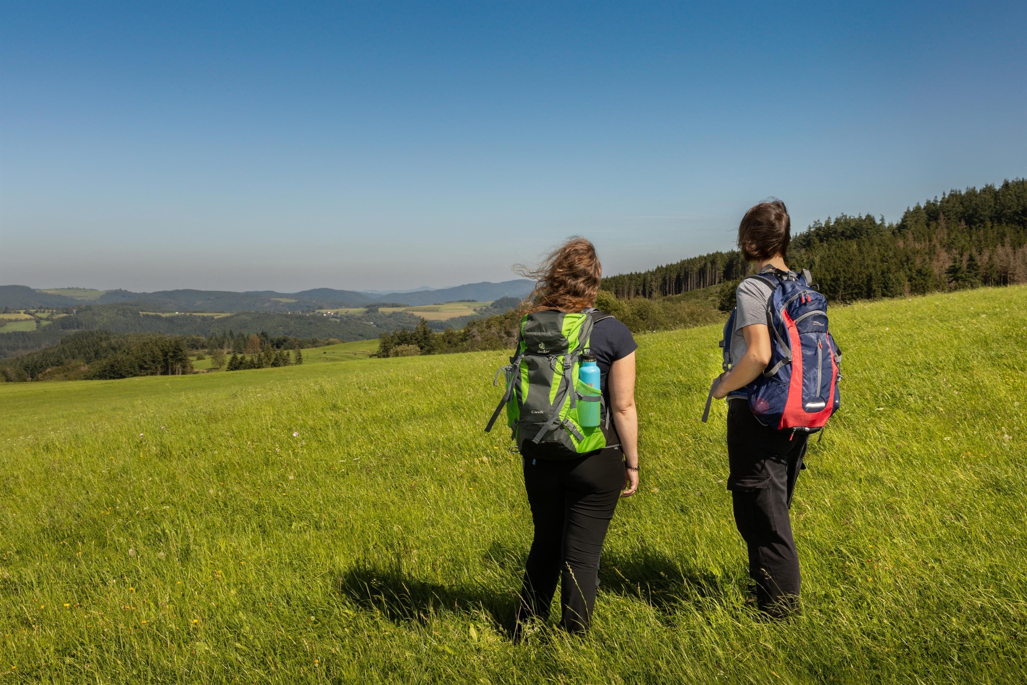
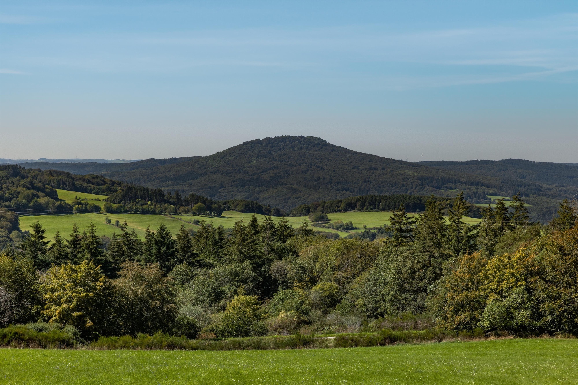
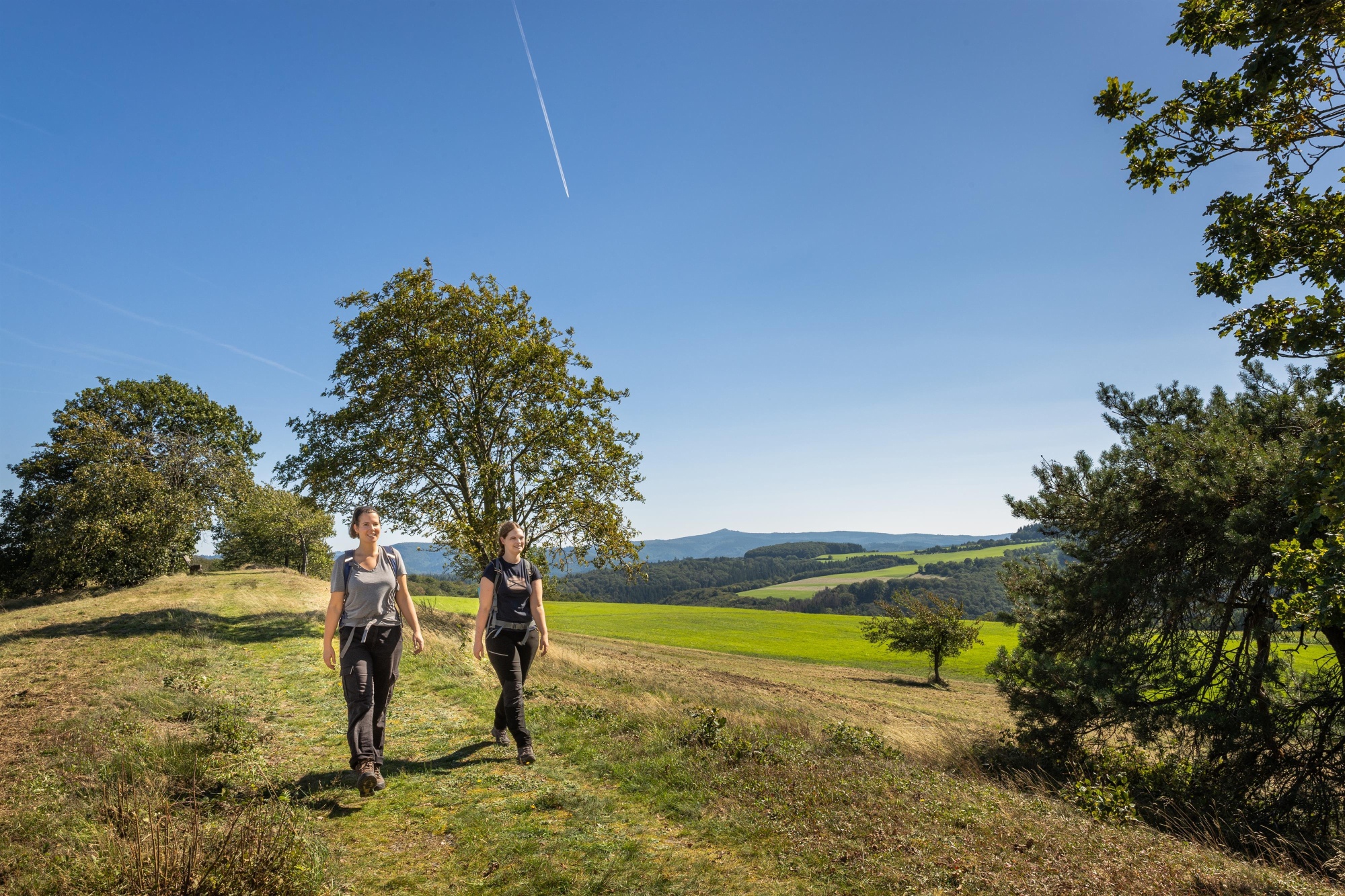
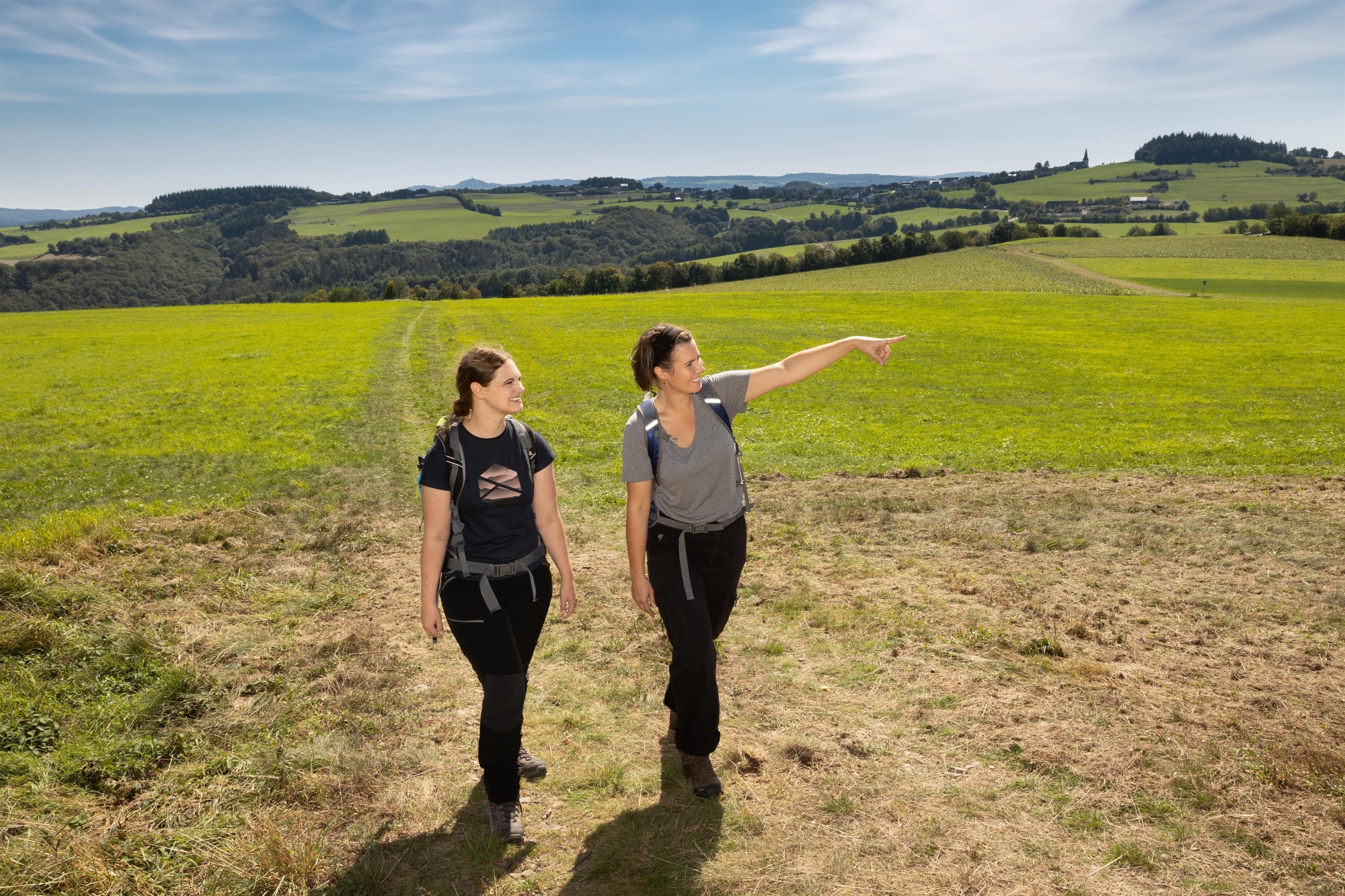
From the chapel in the tranquil Eifel village of Insul, the route leads through dense deciduous forest onto the high ridges of the Hocheifel. Dreamlike panoramic views from the Winnerather Höhe to the Siebengebirge promise an impressive hike.
Shortly before the elevated village of Winnerath, small and large sika deer graze peacefully and can be admired in the wildlife enclosure. Soon the imposing Aremberg comes into the hiker’s view: a mighty witness of volcanic history from the tertiary period.
In the Hürstnück nature reserve with its rare heath and dry grassland areas, the Hohe Acht and the Nürburg castle ruins appear prominently on the horizon and shape the image of the wild romantic Hocheifel landscape.
Between fields and meadows over the ridge of Reifferscheid, the path slowly leads back through dense forest into the idyllic valley to the picturesque town of Adenau.
Highlights along the way:
We leave the chapel in Insul heading towards Kapellenweg and turn right after about 100 m. After another 350 meters, the route turns left towards the forest edge. We follow the forest path steadily uphill to the Winnerather Höhe platform. Here the route goes straight ahead to the elevated village of Winnerath. Passing the wildlife enclosure, it continues straight ahead through Kapellenstraße, at the end of which it briefly turns sharply left and then directly right uphill into Martinsnück. At the edge of the village, it goes about 850 m straight on a field path until shortly before the Hürstnück hilltop. Here turn right and immediately the next left, the path continues up to the Hürstnück height. From there, it goes straight downhill on a meadow path heading towards Reifferscheid until we meet an asphalt path. Here we turn right, follow a sharp left curve after about 200 m, then meet the asphalted road again shortly before Reifferscheid, where we turn right.
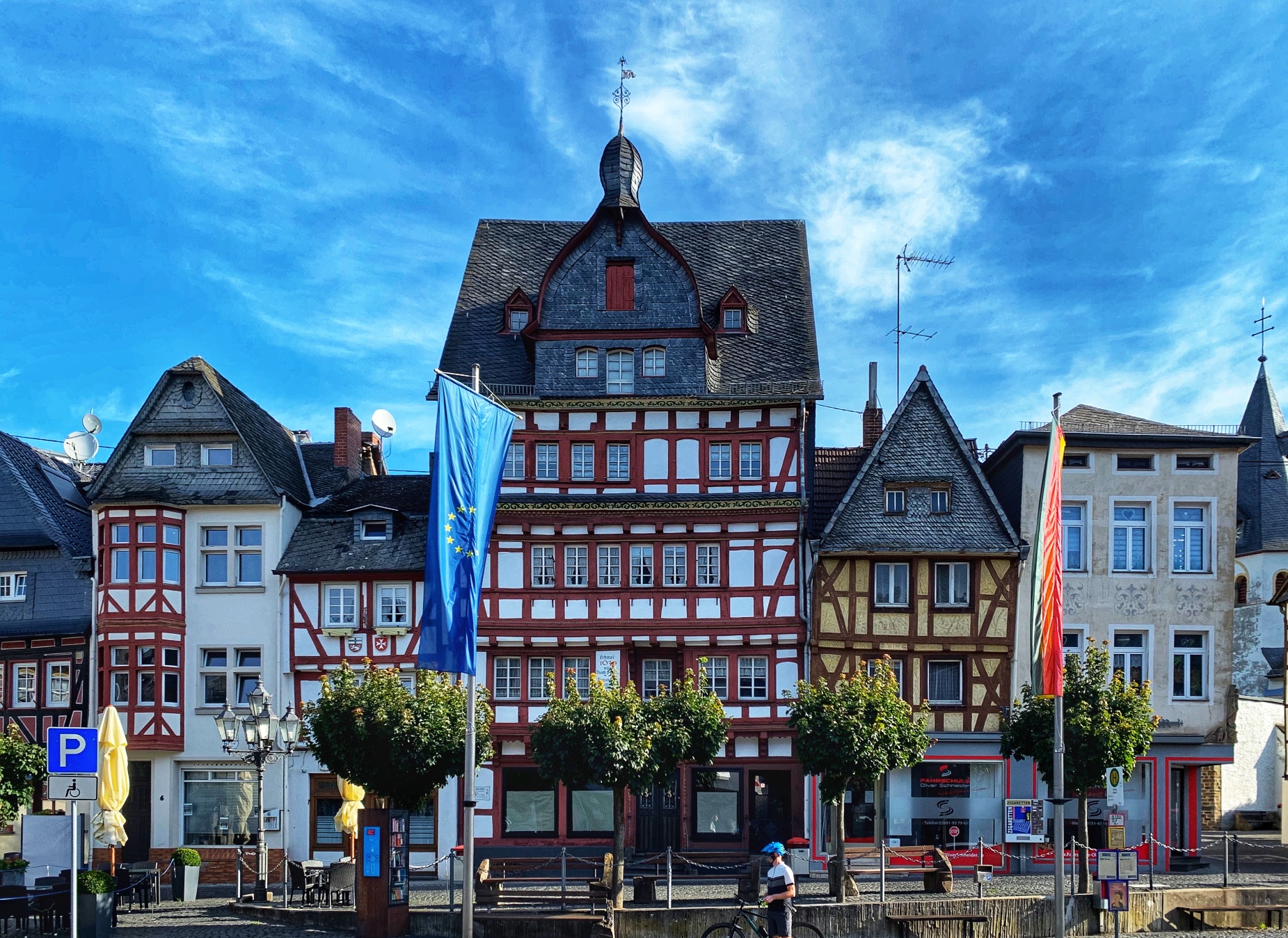
At the next fork, we turn left into Euskirchener Straße, then immediately left again into Ellerstraße. At the next fork, we follow Ellerstraße to the right and turn left at the end of the street onto the path Am Knopp. The next chance is right again into Waldstraße. After the sharp left curve, it continues downhill. We follow the forest path first for about 850 m then turn left. Here it goes steeply downhill for about 400 m until we turn right to cross a small bridge. After 750 m, it goes briefly left again and then the next chance right. We follow this path and pass the Leimbach transfer station on the right side up to the small shrine on the left. Here we turn sharply right onto the asphalted path, cross another small bridge, take the next chance to turn left and walk about 100 m between the fishing ponds. Then directly right and after another 50 m sharply left again about 80 m up a steep path. Once at the top, turn left again onto a wider forest path. We follow this again for 300 m and turn left at the next fork. After about 200 m, there is a right curve and then about 600 m straight ahead to the Hüstert hiking car park. Here we cross the L10 road with care to traffic and follow Blankenheimer Straße 350 m down to the roundabout in Adenau. We stay on the right side of the main road and use the pedestrian crossing after about 400 m to reach Adenau market square on the opposite side. Here there is a connection to the Eifelleiter.
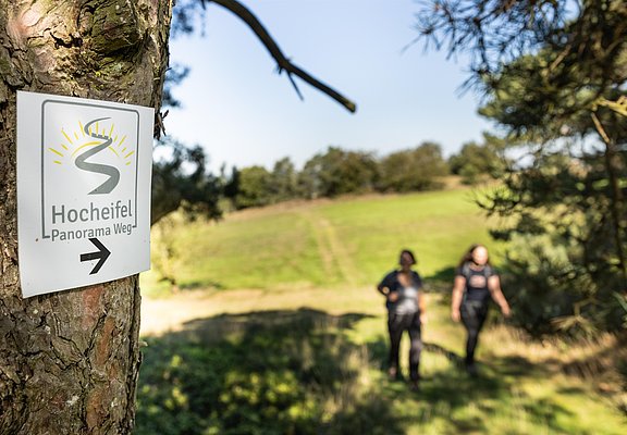
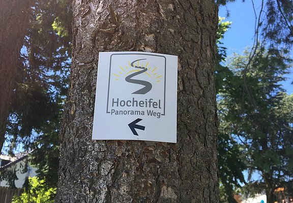
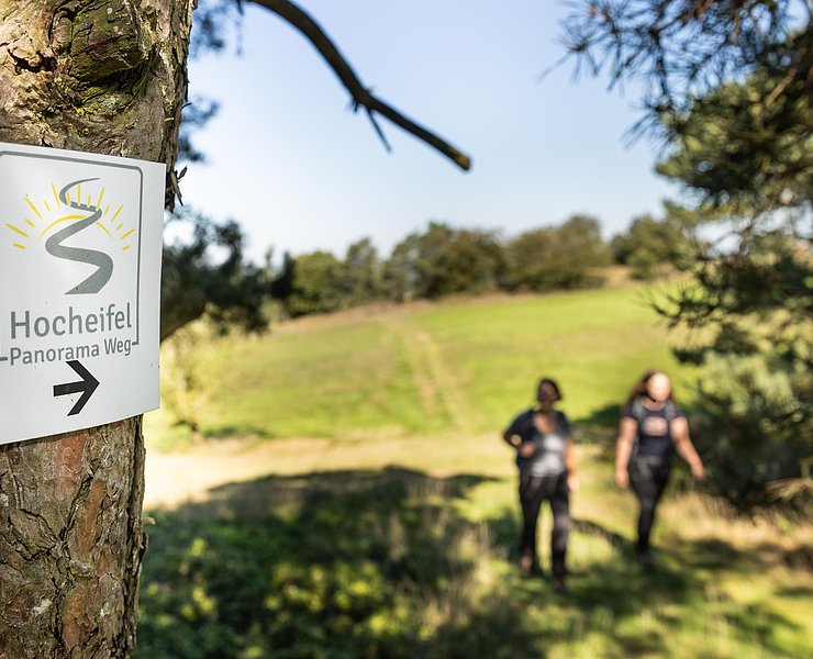
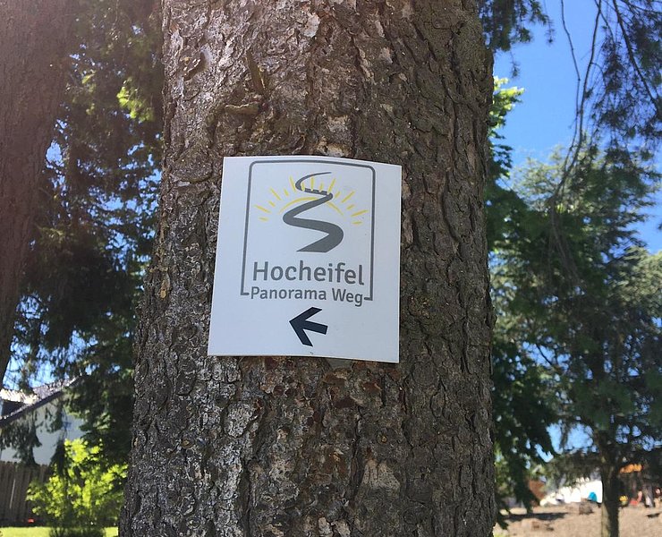
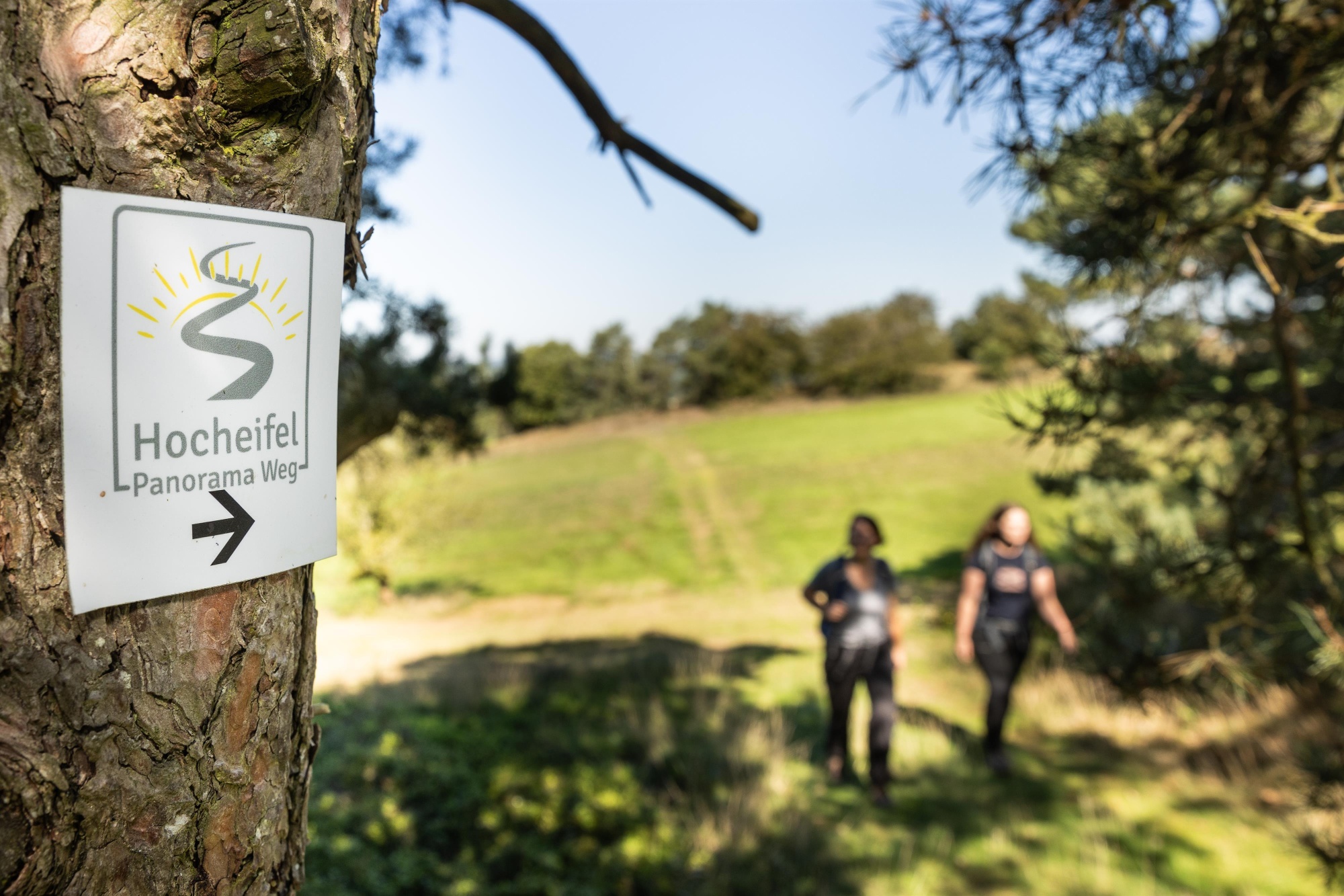
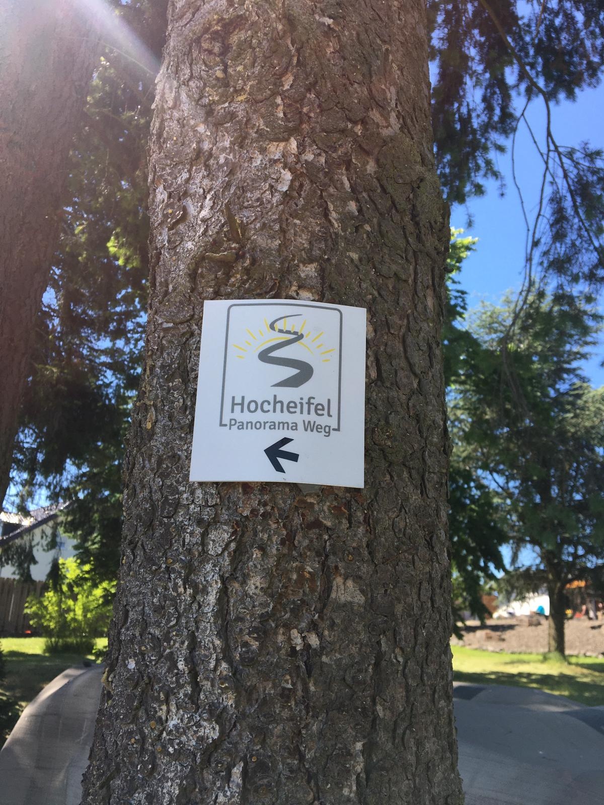
The route is continuously signposted in both directions with the trail logo of the Hocheifel-Panorama-Weg.
- ZG Vielseitig Aktive (L)
- ZG Aktive Naturgenießer (L)
- ZG Kultur- und Landschaftsliebhaber (L)
- ZG Nur Wanderer (L)
- Route tour
- Hiking trail
- Hiking

source
tourist-information-hocheifel-nuerburgring
·
Author:
Daniela Schmitz / Tourist-Information Hocheifel-Nürburgring
















