 EN
EN

Wanderweg
Circular route Bad Neuenahr No. 1 - From Steinthalskopf into Wingsbachtal
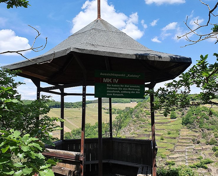
The path up to Steinthalskopf is wooded and far from any hustle and bustle. A nice start to this hike, which is full of surprises. The view from the pavilion on the Katzley rock down into the Ahr valley is spectacular and forms a highlight of the route. At the end awaits an enchanted path that leads back to the destination through a picturesque valley and over eleven small bridges.
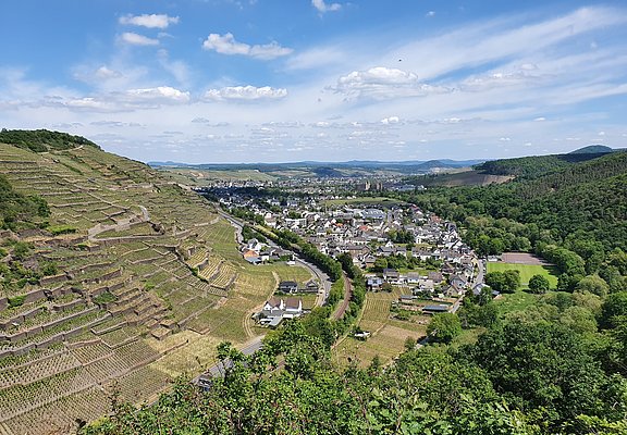
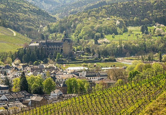
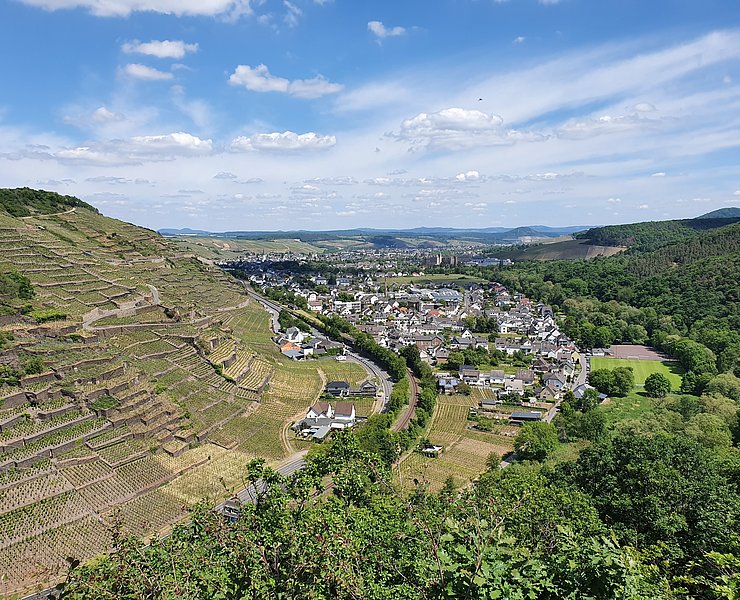
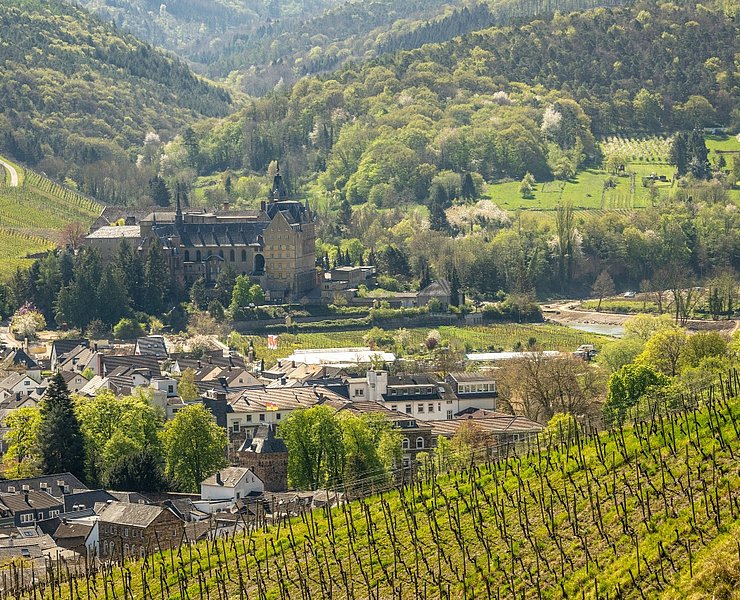
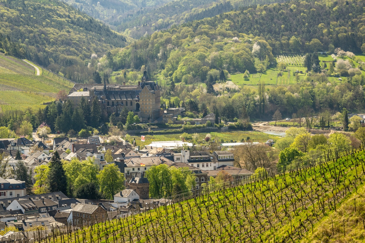
From the hiking parking lot above the Calvarienberg monastery, the route initially climbs towards Steinthalskopf, the first stage destination of this route. The path there leads into Wingsbachtal. The Wingsbach gently meanders through the still quite wide valley here and through lush meadows and pastures. However, the route quickly leaves the valley and turns onto a forest path that offers wonderful views of the Calvarienberg monastery and the vineyards of Walporzheim. You hike slightly uphill through the forest. Gradually you gain height and can repeatedly enjoy the view of the vineyards. Shortly after a shelter, you reach the observation tower on the 417-meter-high Steinthalskopf. From the tower, you can enjoy a fantastic 360-degree panorama of the Ahr valley and the lush surrounding forests of the Ahr mountains stretching all the way to the Siebengebirge mountains across the Rhine.
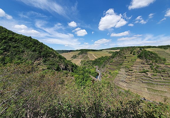
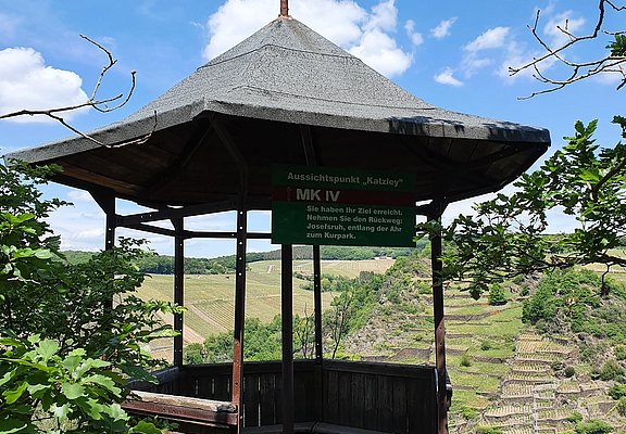
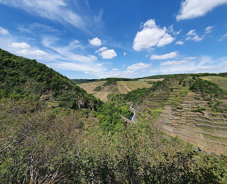
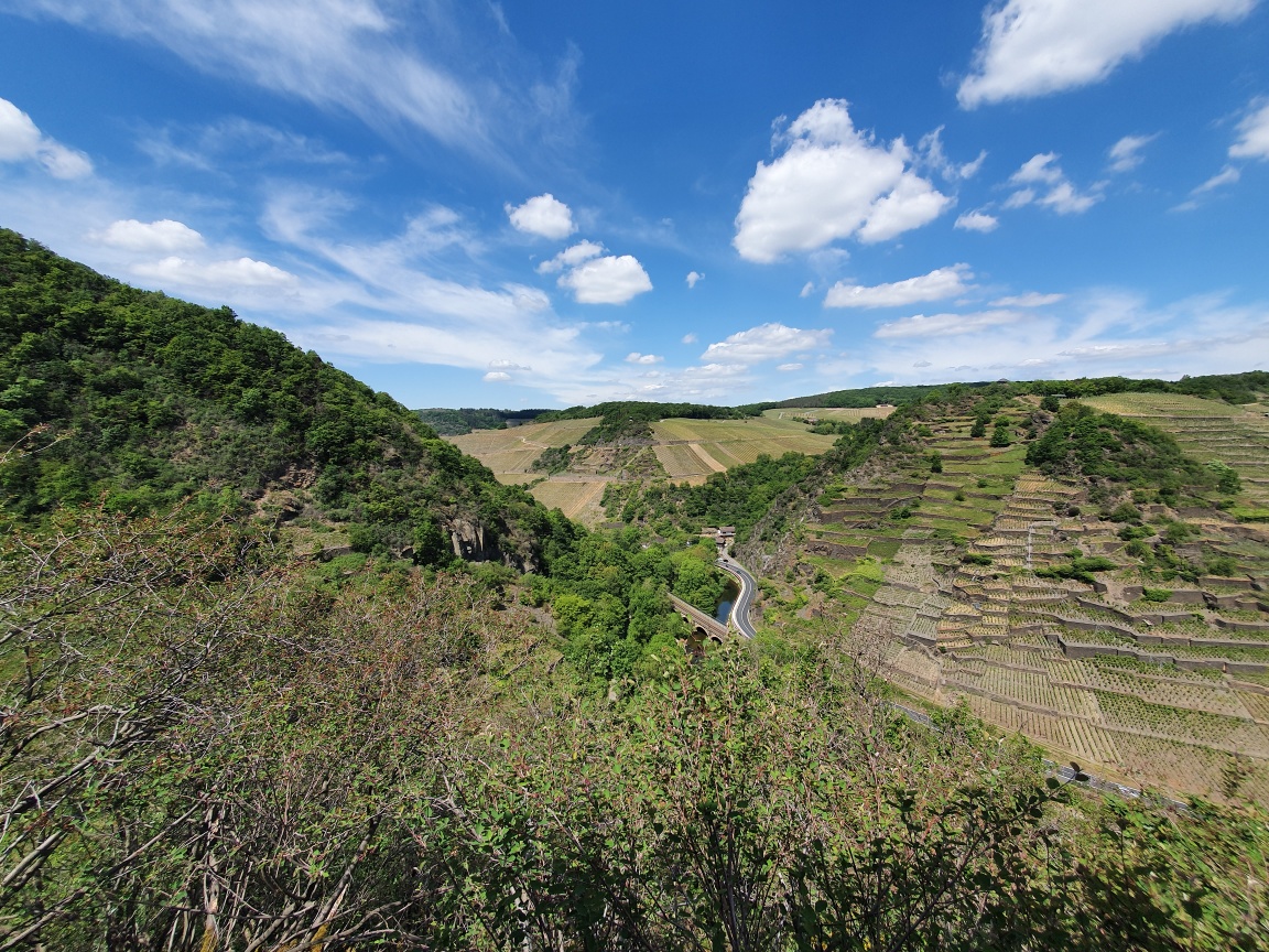
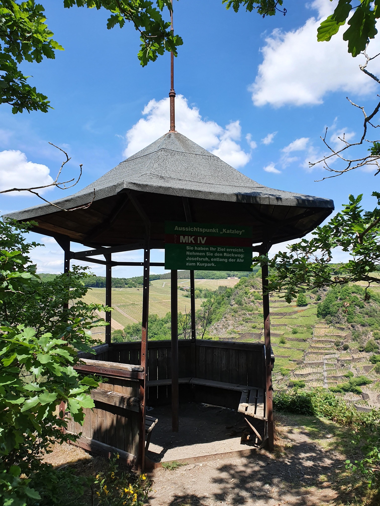
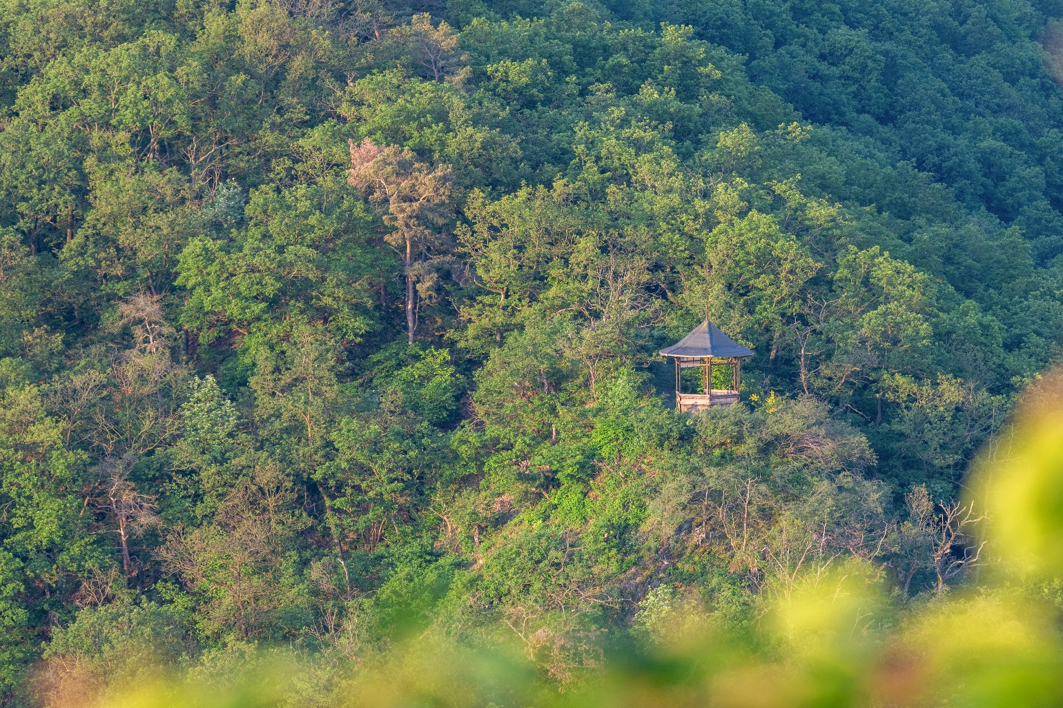
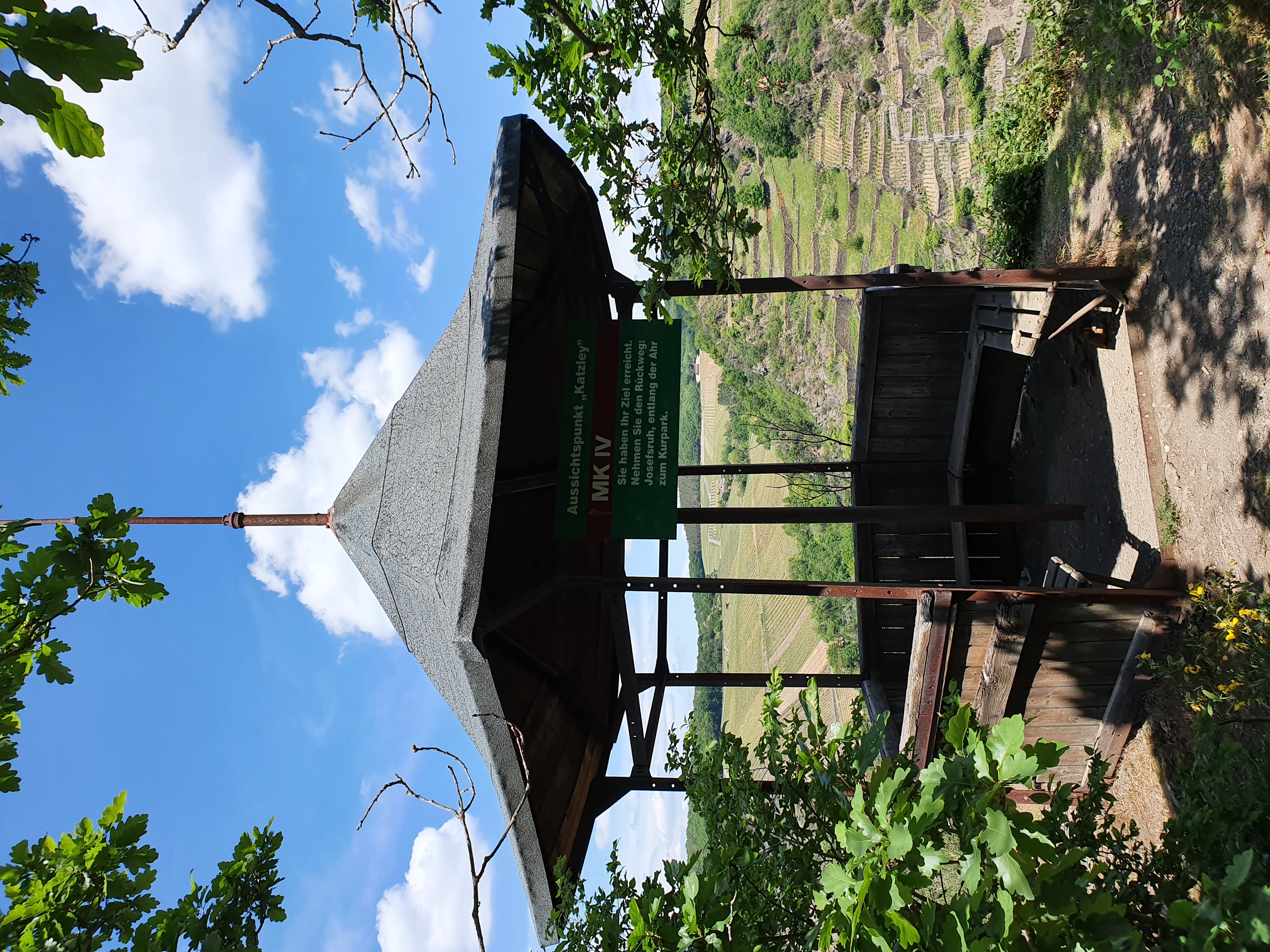
With few exceptions, it goes only gently downhill from now on. You enter the forest again. The next stage destination and highlight of the route is the Katzley with its viewing pavilion. The climb to the bizarre rock spur is somewhat adventurous and requires a minimum level of sure-footedness. The effort is rewarded with a magnificent view of the narrow valley, the Ahr, Walporzheim, and the opposite rock nose “Bunte Kuh,” around which steep vineyard terraces climb.
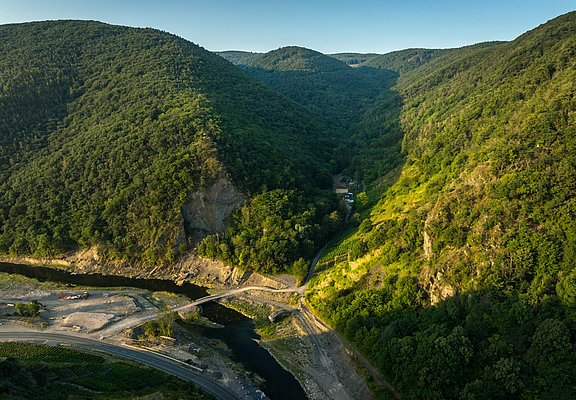
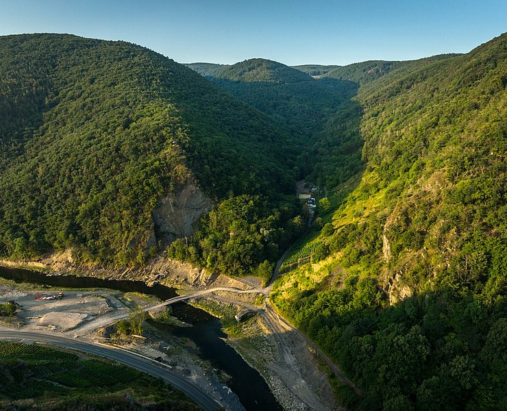
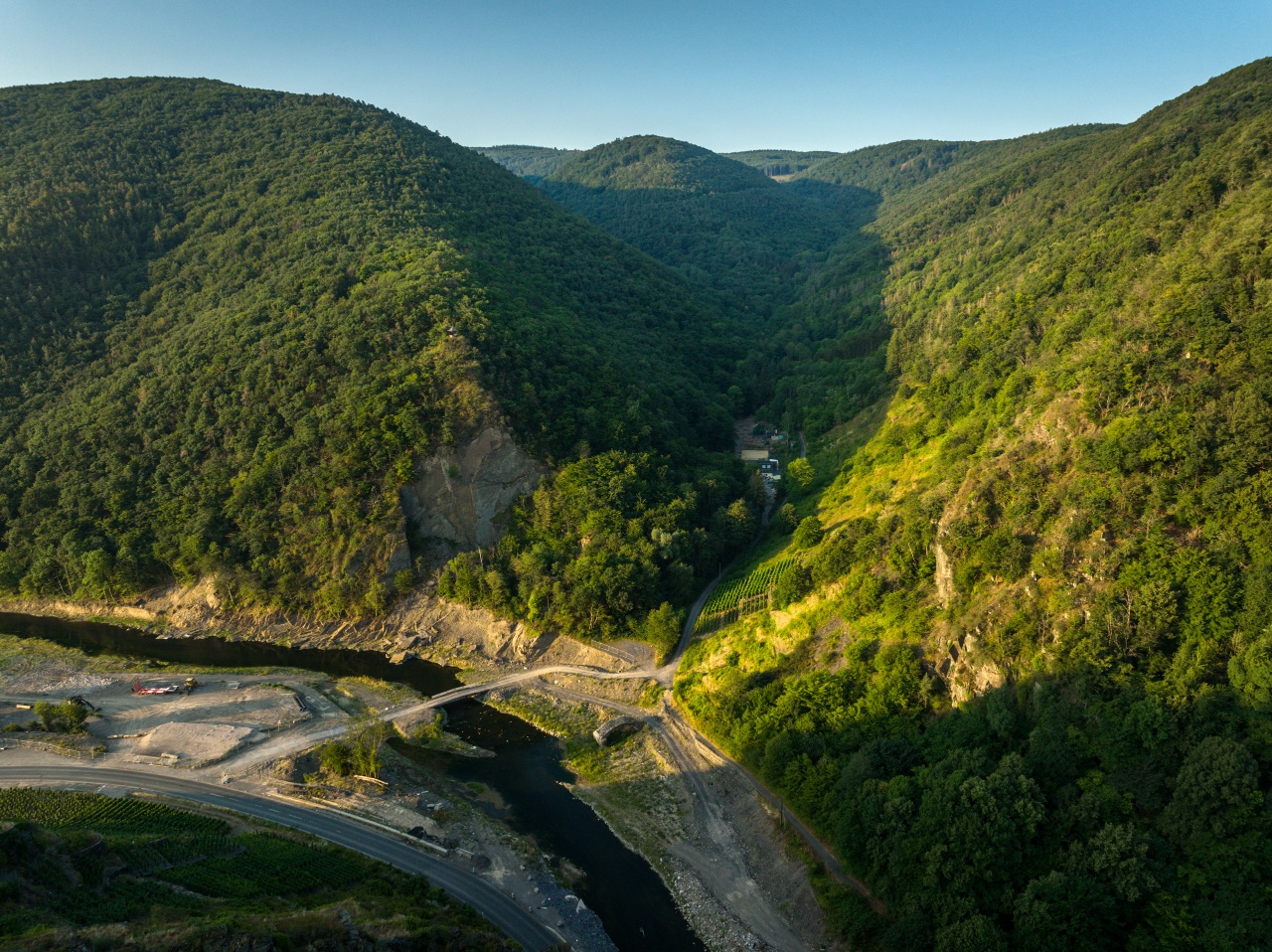
On the return journey to the starting point, you hike downhill from the wooded heights into the valley, first along the Ahr, then again on a magical path through the picturesque Wingsbachtal. The return route is currently unfortunately not passable due to the flood in July 2021. To get back to the starting point, you first return to the main hiking trail. From here, follow the AhrSteig markings back to the parking lot.
The detailed route description with information on places to eat, beautiful views, and elevation profiles can be found in the hiking book: "Around Bad Neuenahr-Ahrweiler. The 15 most beautiful hiking routes" from J.P. Bachem Verlag (ISBN 978-3-7616-2844-7).
With a few minor exceptions, the descent is gentle from now on. Once again you are immersed in the forest. The next stage destination and highlight of the tour: the Katzley with its lookout pavilion. The climb to the bizarre rock spur is somewhat adventurous and requires a minimum of surefootedness. The effort is rewarded with a magnificent view of the narrow valley, the Ahr, Walporzheim and the "Bunte Kuh" rock outcrop opposite, around which steep vineyard terraces entwine.
On the way back to the starting point, you hike from the wooded heights down into the valley, first along the Ahr, then again on an enchanting path through the picturesque Wingsbach valley. Unfortunately, the return path is currently not passable due to the flood in July 2021. To get back to the starting point, you first return to the main hiking trail. From here, follow the AhrSteig markings back to the hikers' car park.
The detailed route description with information on places to stop for refreshments, beautiful views and altitude profiles can be found in the hiking book: "Rund um Bad Neuenahr-Ahrweiler. Die 15 schönsten Wanderwege" by J.P. Bachem Verlag (ISBN 978-3-7616-2844-7).


- ZG Vielseitig Aktive (L)
- ZG Aktive Naturgenießer (L)
- ZG Kultur- und Landschaftsliebhaber (L)
- ZG Nur Wanderer (L)
- ZG Städte-Genießer (L)
- Round trip
- Hiking trail
- Refreshment stop
- Hiking

source
Ahrtal-Tourismus Bad Neuenahr-Ahrweiler e.V.
·
Author:
Carolin Gemein
















