 EN
EN

Pilgerweg
Aachen-Frankfurter-Heerstrasse - Grafschaft section
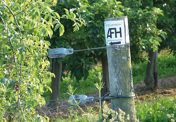
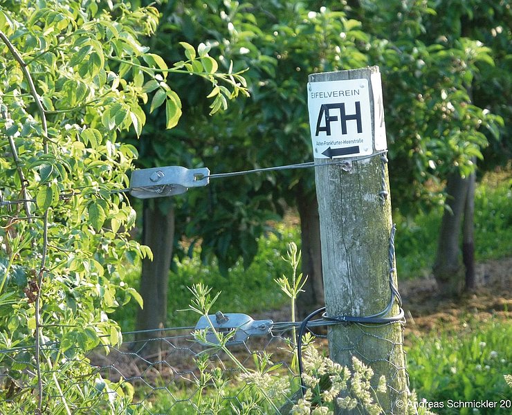
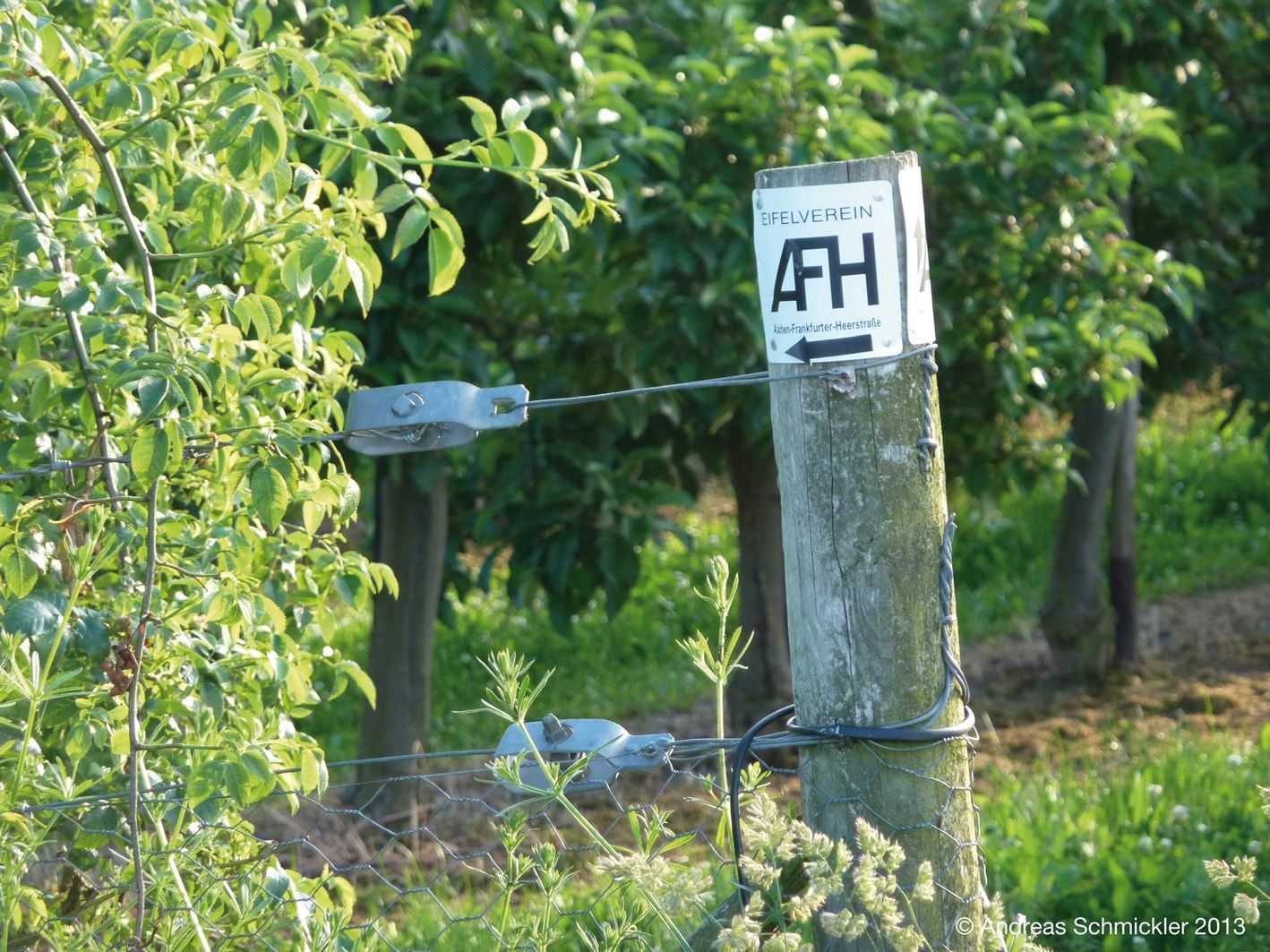
The first part of the trail begins at an information board at the eastern end of the village to the right of the road to Fritzdorf.
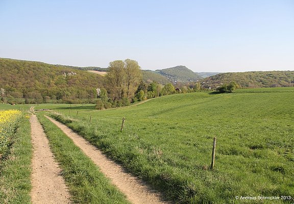
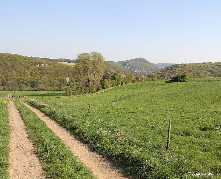
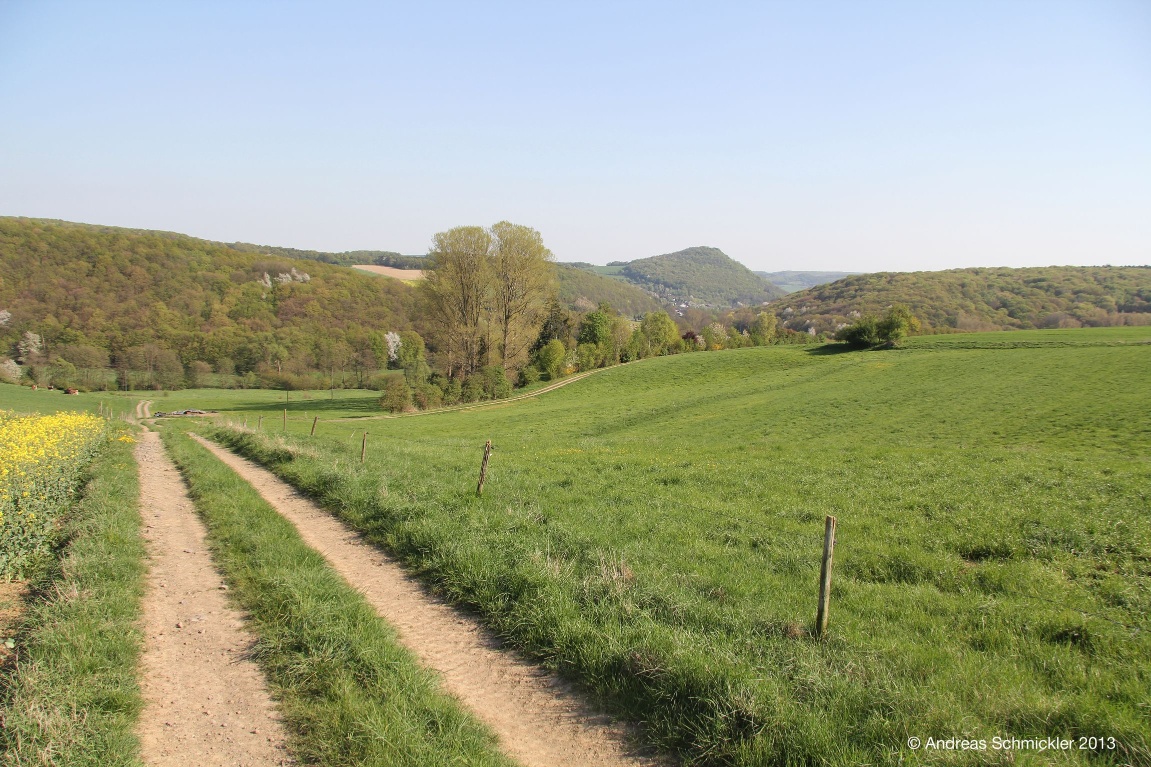
Following in the footsteps of kings such as Friedrich Barbarossa, traders, pilgrims and armies, the trail leads up the hill in a south-easterly direction, past orchards and an old wayside cross, through a former hollow path that was made passable again a few years ago.
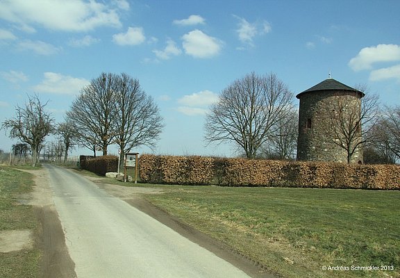
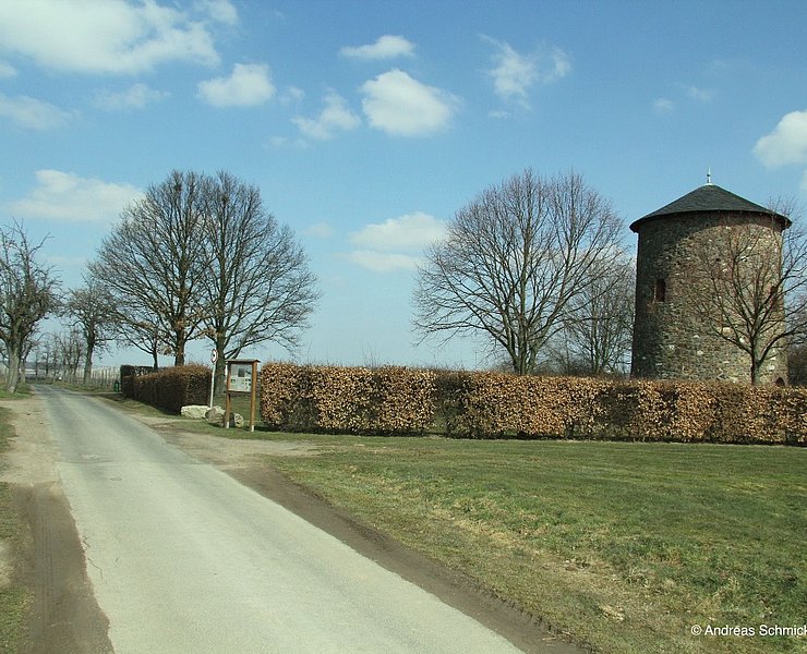
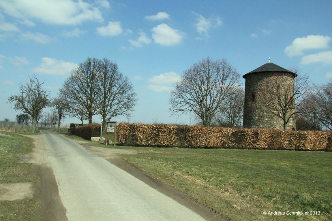
After approx. 3 km through the fields, you reach the Fritzdorfer Höhe (260 m), the highest point of the route. The tower of a former windmill stands here and another information board provides information about the location.
The route now descends along the old route, crossing the L79, leaving the villages of Oeverich and Niederich on the left, behind which you can see the Wachtberger Höhe and the Siebengebirge mountains. On the right, the view sweeps over the Ahrgebirge and the heights of the Eifel.
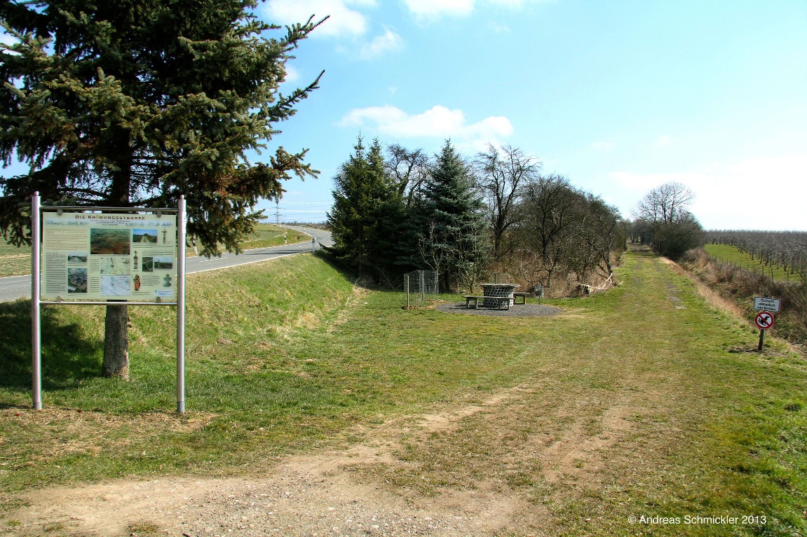
Along fields and plantations, you reach the so-called "Hochkreuz" on the heights of Leimersdorf. A large pasture, a cross with a bench and another information board invite you to linger.
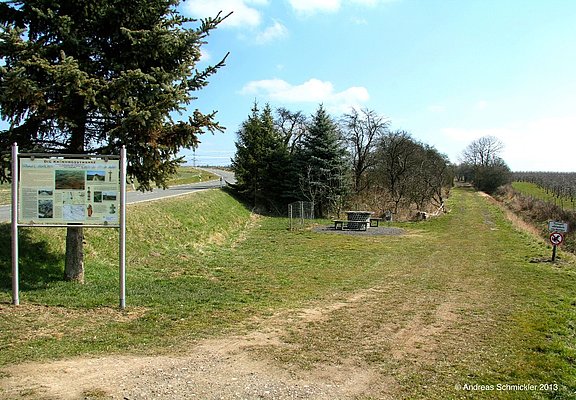
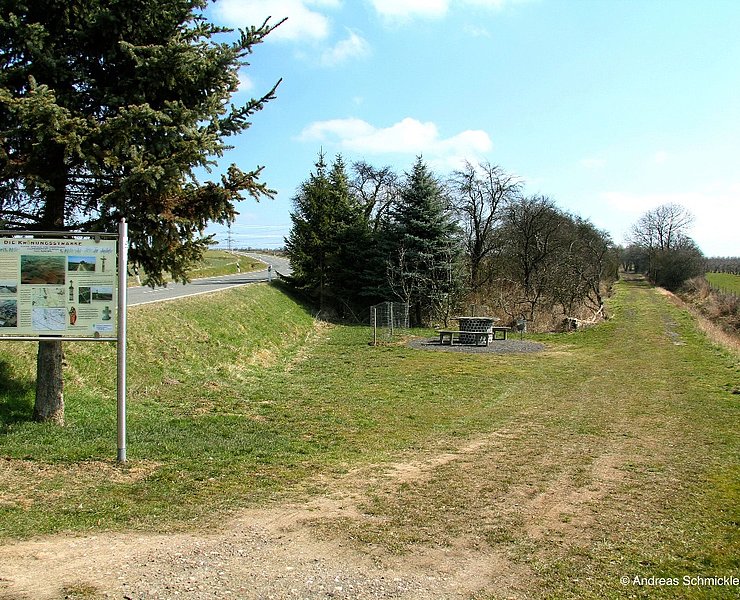
The route continues zigzagging around the fields, where a bump reveals the course of the old original route, which you finally follow to a striking edge of the terrain with a meadow orchard. This is a well-preserved section of the former hollow way. The dimensions of the original military road become clear here. A few hundred meters further on, you come across an old railroad embankment. Here too, a plaque provides information about the historical circumstances.
The view opens up over Nierendorf with the small basalt head Americh behind it. The Landskrone comes ever closer into view. One of the road's protective castles stood on this mountain. Here the hiking trail runs directly alongside the former country road until it suddenly descends somewhat more steeply towards the L 80 and the Rischmühle mill. A deep bump can be seen on the right-hand side, indicating the old course of the road. Once in the valley, you have to follow the L 80 southwards for a short distance and cross the Leimersdorfer Bach stream to reach the stage finish at the "Deutsches Eck", the crossroads between the villages of Nierendorf, Kirchdaun, Bengen and Gimmigen. Here, too, an information board provides information about the course of the road. A new saint's house is a reminder of the old field name "Am Heiligenhäuschen". A bus shelter bears the more recent name "Am Deutschen Eck".
Grafschaft-Eckendorf - Fitzdorf (windmill) - Grafschaft-Leimersdorf (high cross) - Grafschaft-Nierendorf ("Deutsches Eck")
The first part of the trail begins at an information board at the eastern end of the village to the right of the road to Fritzdorf.
Following in the footsteps of kings such as Friedrich Barbarossa, traders, pilgrims and armies, the trail leads up the hill in a south-easterly direction through a former hollow path, which was made passable again a few years ago, past orchards and an old wayside cross.
After approx. 3 km through the fields, you reach the Fritzdorfer Höhe (260 m), the highest point of the route. The tower of a former windmill stands here and another information board provides information about the location.
The route now descends along the old route, crossing the L79, leaving the villages of Oeverich and Niederich on the left, behind which you can see the Wachtberger Höhe and the Siebengebirge mountains. On the right, the view sweeps over the Ahrgebirge and the heights of the Eifel.
Along fields and plantations, you reach the so-called "Hochkreuz" on the heights of Leimersdorf. A large pasture, a cross with a bench and another information board invite you to linger.
The route continues zigzagging around the fields, where a bump reveals the course of the old original route, which you finally follow to a striking edge of the terrain with a meadow orchard. This is a well-preserved section of the former hollow way. The dimensions of the original military road become clear here. A few hundred meters further on, you come across an old railroad embankment. Here too, a plaque provides information about the historical circumstances.
The view opens up over Nierendorf with the small basalt head Americh behind it. The Landskrone comes ever closer into view. One of the road's protective castles stood on this mountain. Here the hiking trail runs directly alongside the former country road until it suddenly descends somewhat more steeply towards the L 80 and the Rischmühle mill. A deep bump can be seen on the right-hand side, indicating the old course of the road. Once in the valley, you have to follow the L 80 southwards for a short distance and cross the Leimersdorfer Bach stream to reach the stage finish at the "Deutsches Eck", the crossroads between the villages of Nierendorf, Kirchdaun, Bengen and Gimmigen. Here, too, an information board provides information about the course of the road. A new saint's house is a reminder of the old field name "Am Heiligenhäuschen". A bus shelter bears the more recent name "Am Deutschen Eck".
- ZG Vielseitig Aktive (L)
- ZG Aktive Naturgenießer (L)
- ZG Kultur- und Landschaftsliebhaber (L)
- ZG Nur Wanderer (L)
- ZG Städte-Genießer (L)
- Route tour
- Pilgrimage route
- Family friendly
- Culture highlight
- promising
- Hiking

source
Gemeinde Grafschaft
·
Author:
Andreas Schmickler, Nadine Taglieri (Gemeinde Grafschaft)
















