EN
EN



Tour
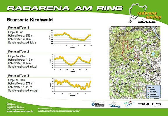
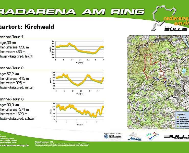
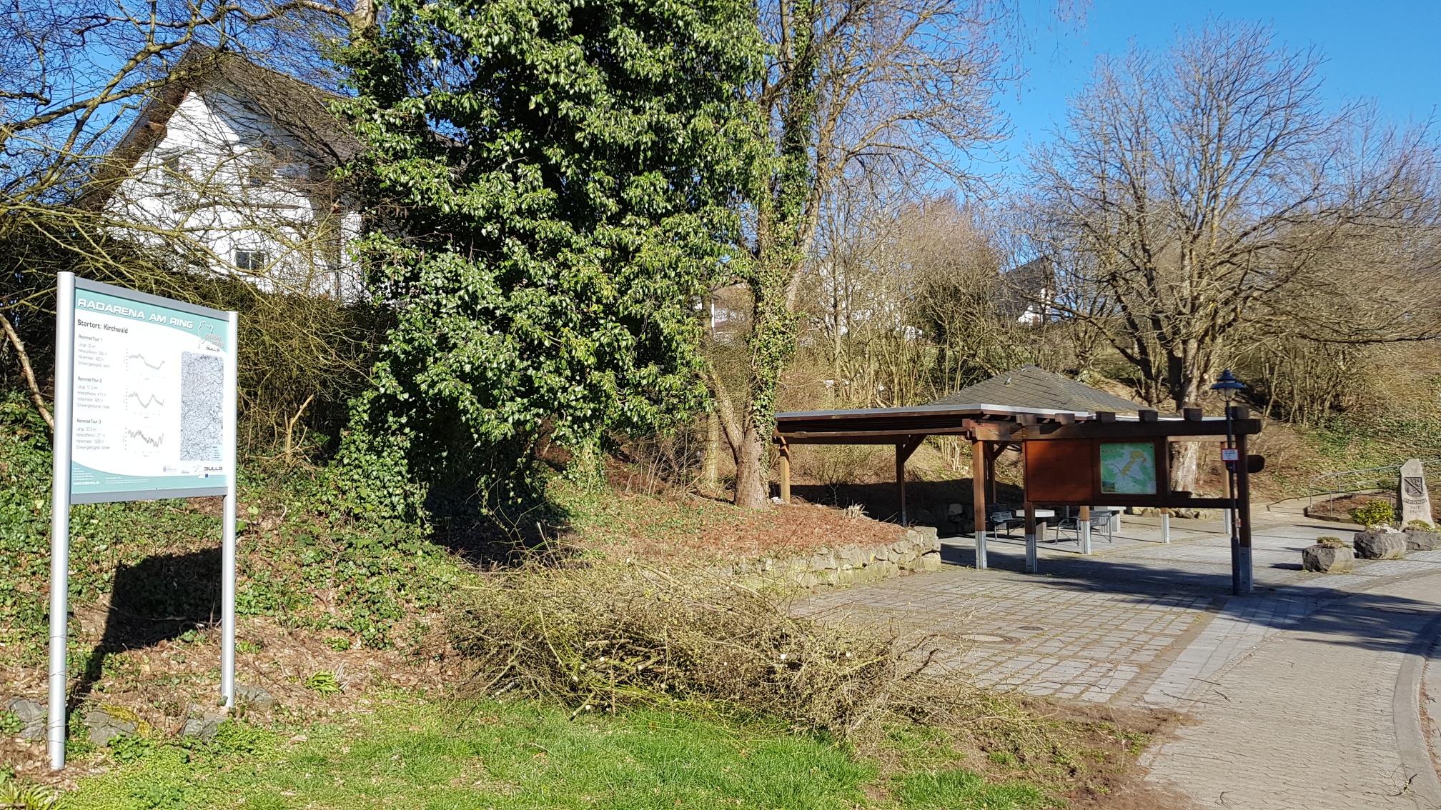
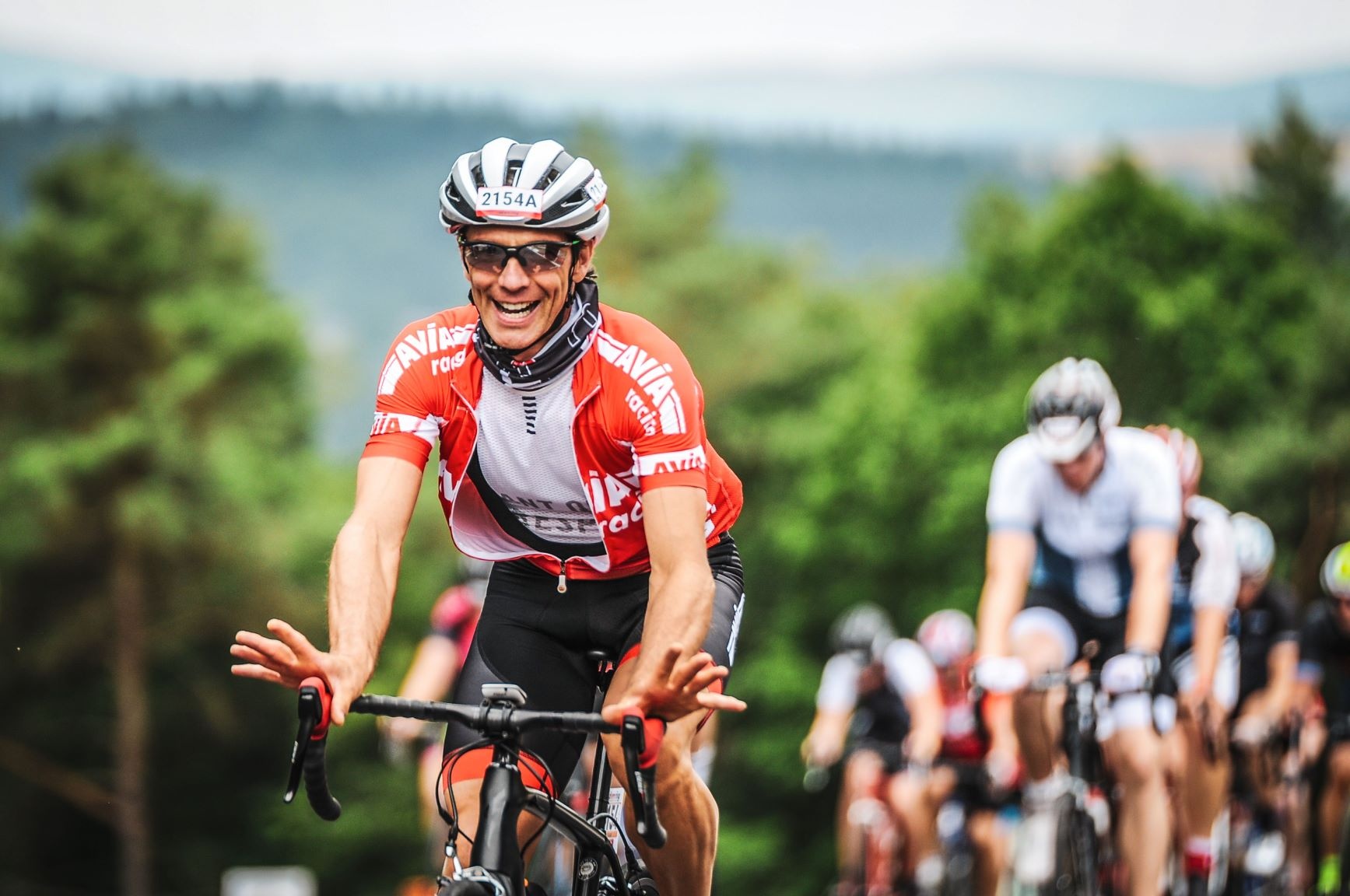
Radarena at the Ring: Start in Kirchwald, Road bike route 1
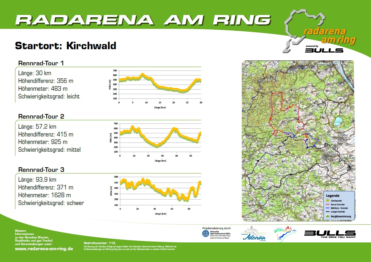
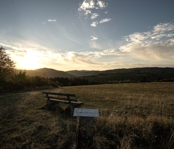
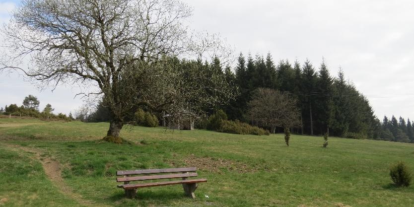
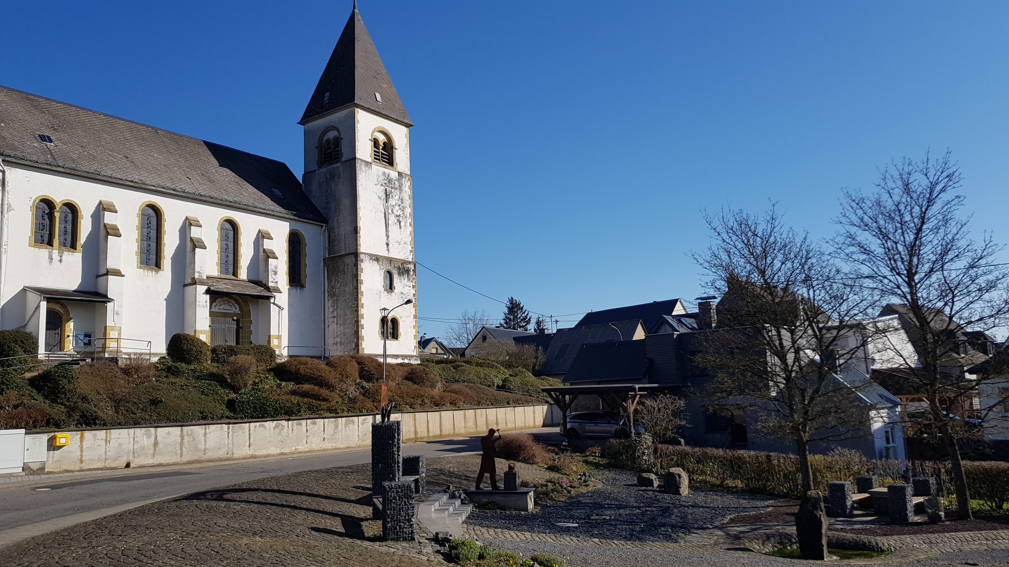
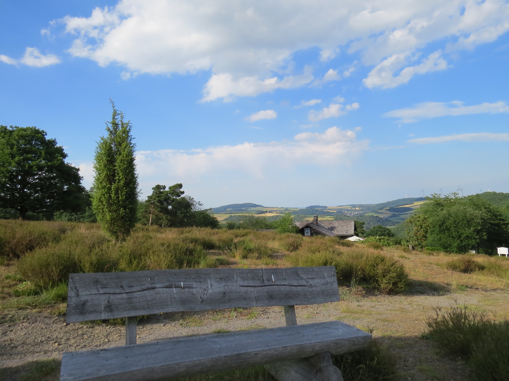
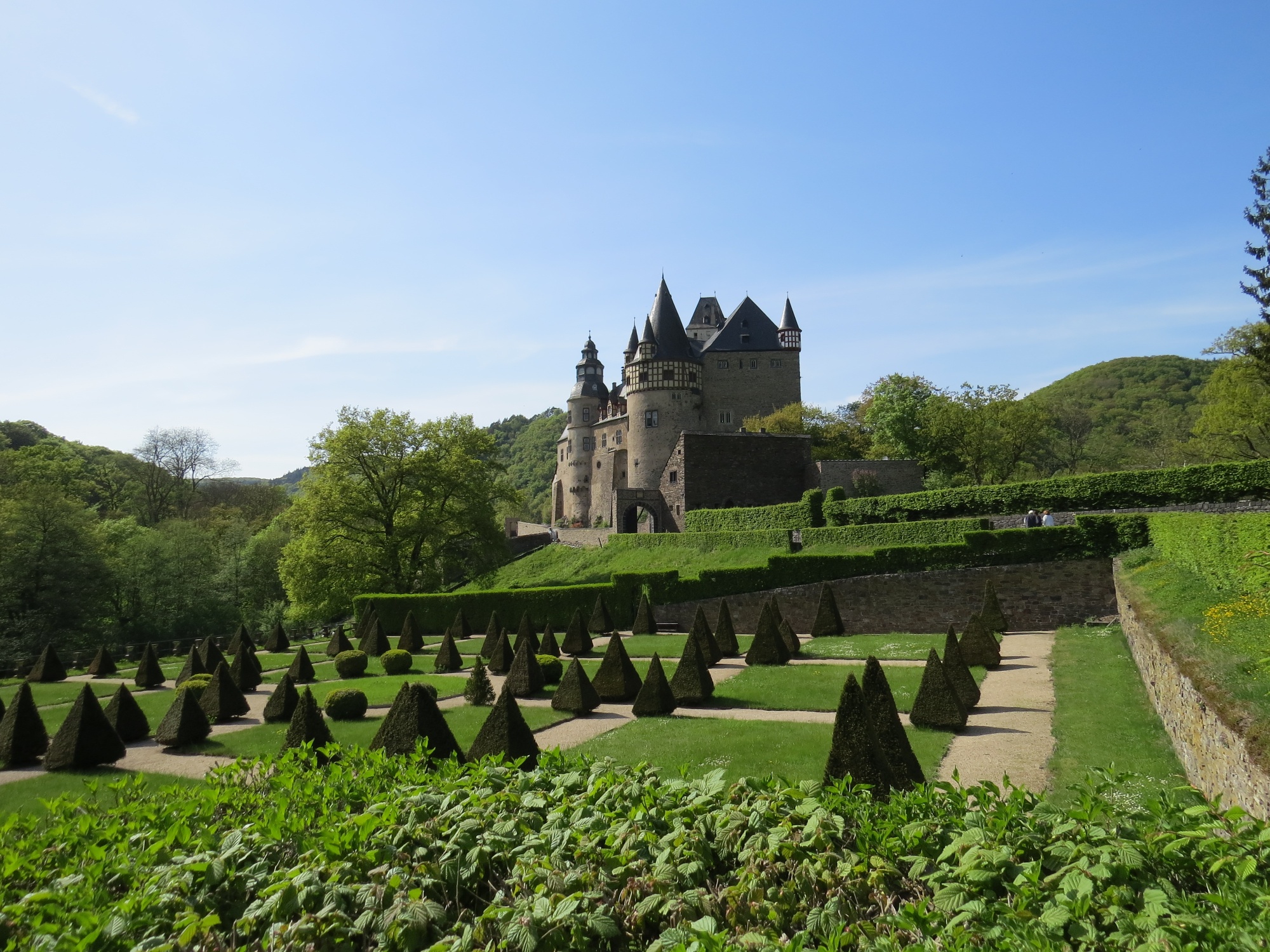
From the starting point in Kirchwald, the route steadily ascends slightly through the municipality of Langenfeld, passing the parish church of St. Quirinus, continuing to the Eifel village of Arft. This is crossed and at the "Raßberg" parking lot, above the winter sports area and simultaneously the highest point of the route (673 m), the path turns sharply right and leads through the unique juniper heath areas on the Wabelsberg to Langscheid. From here, the route then descends steeply down into the "Nettetal", past Riedener Mühlen and Bürresheim Castle. Here, from the lowest point of the route, the path runs parallel to the Nitzbach stream to the outskirts of the municipality of Nitztal and from there climbs steeply up to the "Steinbüchel" before continuing on level ground back to Kirchwald.
From the starting point in Kirchwald, further routes are possible in the Radarena:
Road bike route 2: Length 57.2 km / Difficulty level medium
Road bike route 3: Length 93.9 km / Difficulty level hard
Route: Kirchwald – Langenfeld – Arft – Langscheid – Riedener Mühlen – Bürresheim Castle – Nitztal – Kirchwald
Start (and finish): km 0.0 Kirchwald, Hauptstraße 44 straight ahead into Hauptstraße/L10 towards Langenfeld, km 5.6 Langenfeld village entrance straight ahead into Mayener Straße/L10 towards Arft, km 6.3 Langenfeld village center straight ahead into Adenau Straße/L10 towards Arft, km 8.6 turn-off to agricultural path (winter sports area) right onto agricultural path towards Langscheid, km 10.0 turn-off agricultural path straight ahead into agricultural path/cycle path towards Langscheid, km 12.2 Langscheid right into Hohlweg, then right into K14 towards Langenfeld, km 12.9 junction K15 turn left into K15 towards Rieden, km 14.7 junction L83 turn right into L83 towards Rieden, km 16.8 turn-off K18 straight ahead into L83 towards Ettringen, km 17.0 Riedener Mühlen straight ahead into L83 towards Ettringen, km 20.9 turn-off K20 straight ahead towards Ettringen (remain on L83), km 23.3 turn-off L10 (Bürresheim) right into L10 towards Kirchwald, then left into K92 towards Nitztal, km 25.3 Nitztal village entrance right into Sankt-Johanner-Straße, km 25.9 Nitztal village exit right into agricultural path towards Kirchwald, km 27.8 junction agricultural path left into agricultural path towards Kirchwald, km 28.9 Kirchwald right into Hauptstraße, km 30.0 End of route: Kirchwald, Hauptstraße 44

- Racing bike
- Cycling

source
Eifel Tourismus GmbH
·
Author:
Svenja Schulze-Entrup/ Touristik-Büro Vordereifel