EN
EN



Tour
Circular Hiking Trail No. 7: Schuld – Insul – Schuld
Ahr Valley: Popular Circular Hiking Trail
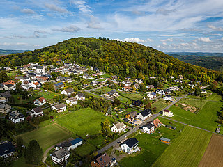
An easy loop trail from Schuld to the neighboring village of Insul and back.
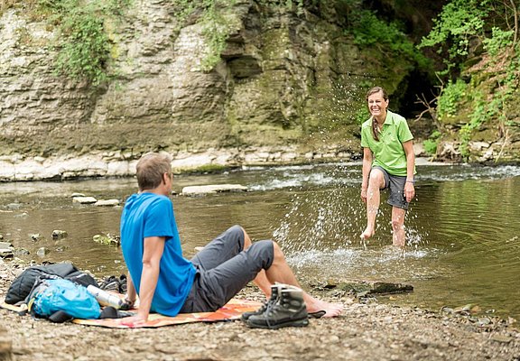
Circular Hiking Trail No. 7 first leads uphill to the famous pilgrimage site, the Schorn Chapel. From there, the trail continues past the open-air stage to the neighboring village of Insul. Shortly before reaching Insul, you’ll come across the Prümer Tor, an imposing rock formation with an interesting history. Passing the Goldloch—a mining field with three abandoned tunnels from a former copper mine—you’ll take a leisurely hike back to Schuld.
Highlights along the way:
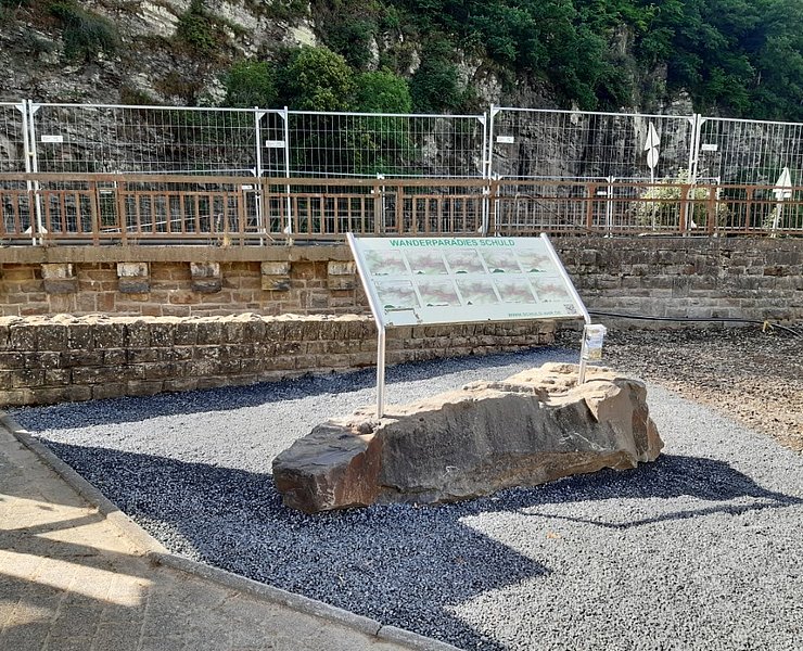
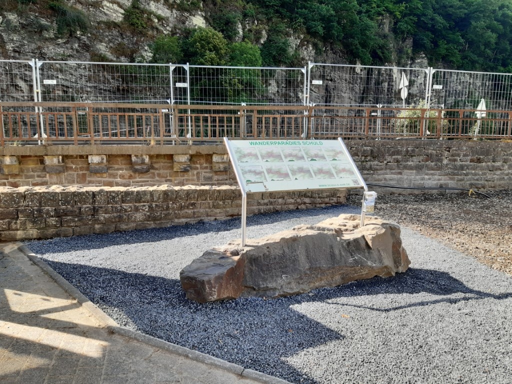
We begin our hike in the town center, in front of the bridge at the sign that reads “Wanderparadies Schuld.”
First, we follow the sidewalk across the bridge toward the church; there, we cross the street and follow it a few meters uphill. Behind a rest area with a wooden cross, we turn right onto a meadow path until we reach a small hiking parking lot.
To the left of the parking lot, our route first takes us along a pilgrimage path toward the Schorn Chapel. After about 300 m, we leave the forest path and follow the road uphill until we see the Schorn Chapel on the left. The pilgrimage church “auf Schorren,” known as the Schorn Chapel for short, was founded by the Schorn family. It was built before the 18th century as a vow made by a farmer after he was saved from the Ahr floodwaters below the chapel. (More information can be found at “Schuld.de”). Right behind the chapel is a magnificent open-air stage that’s also worth a quick visit. It was built in 1948 and has since served every year as a stage and backdrop for many theatrical performances as well as musical events. The path now leads us further downhill until we reach a larger clearing. After the curve, we do not take the left path but instead follow the right trail down the valley on the other side of the stream. At the end, we keep to the right and continue above the country road between Insul and Schuld. At the next fork in the trail, we keep to the left and eventually reach the L73 below, which we now cross. We are now atthe so-called“Prümer Tor.” Through the “Prümer Tor,” the vassals of Prüm in the Ahrgau region once transported their tithes and taxes on two-wheeled carts through the shallow ford of the Ahr riverbed, passing through Mutscheid on their way to Münstereifel. From the rock, you have a beautiful view of the Ahr. We now continue for about 30 meters on the left-hand side toward Insul. (Please be careful not to walk on the road, but only on the shoulder.) Here, we follow the paved farm road to the left along the Ahr until we reach the village of Insul.
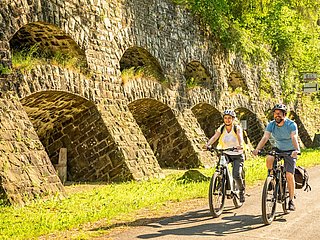
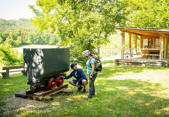
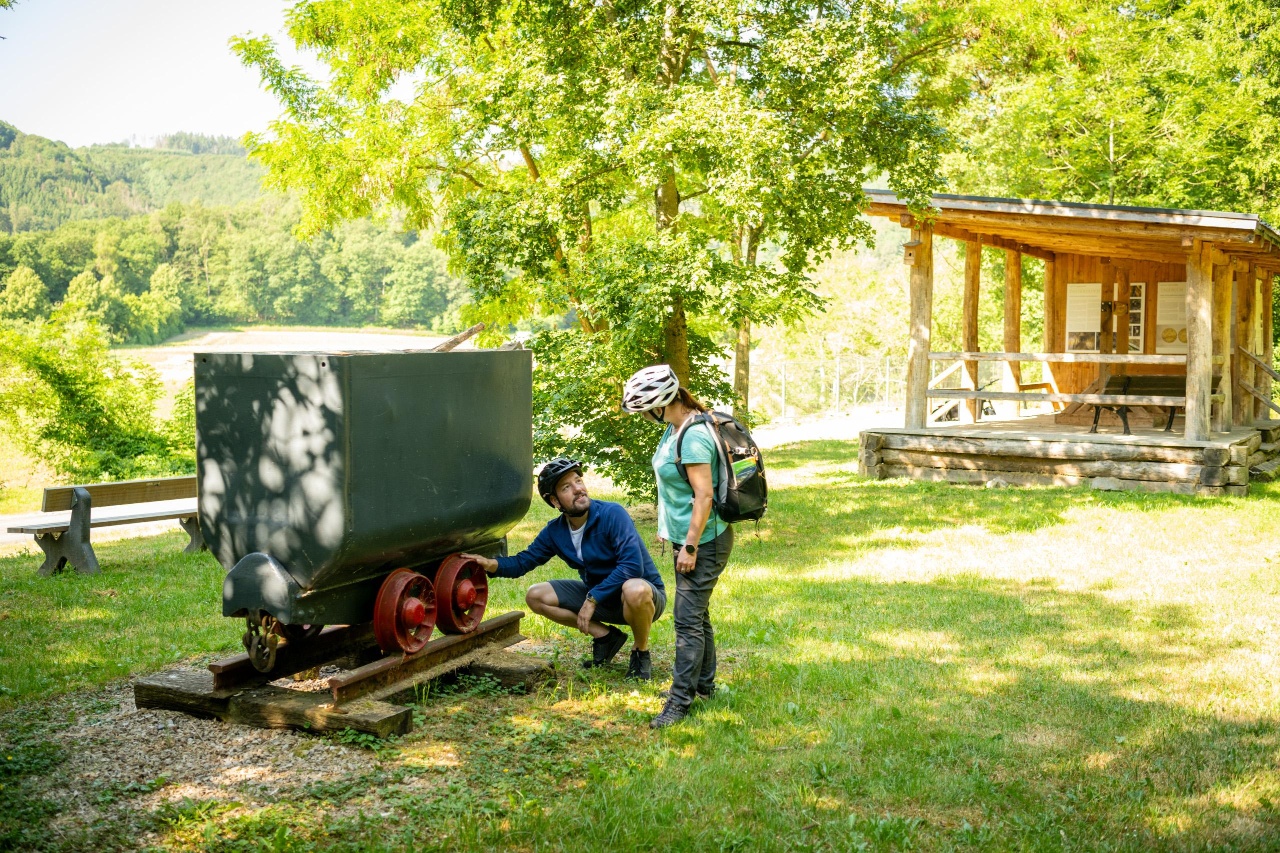
We continue along Ahrstraße until we reach the Ahr Bridge, which we now cross. At the end, we turn left onto Überdorfstraße and follow it for about 200 m. At the end, we come to the bike path and follow it to the left until just before Schuld. After 150 m, we see the so-called “Goldloch” on the right. It is a mining area with three disused tunnels from a copper mine and still bears witness to mining in the Ahr Valley, which came to a halt in the early 1930s. We continue along the bike path, which runs along a disused railroad right-of-way. After another 200 m, we pass through a former railroad tunnel.
Please note:
In Schuld, shortly after crossing the bridge, the route changes for a short stretch due to flood damage. Please pay attention to the relevant signs and follow Circular Trail No. 6 to the left.
- Round trip
- Hiking trail
- Hiking

source
tourist-information-hocheifel-nuerburgring
·
Author:
Daniela Schmitz / Tourist-Information Hocheifel-Nürburgring