 EN
EN

Wanderweg
Barbarossa Loop Sinzig green
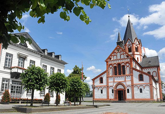
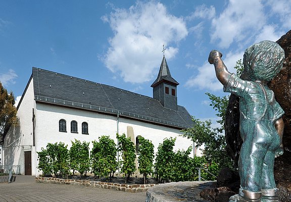
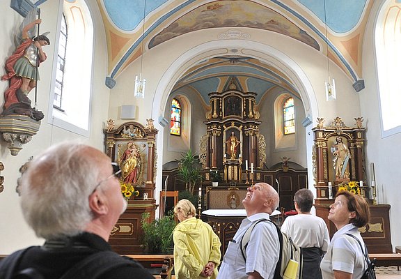
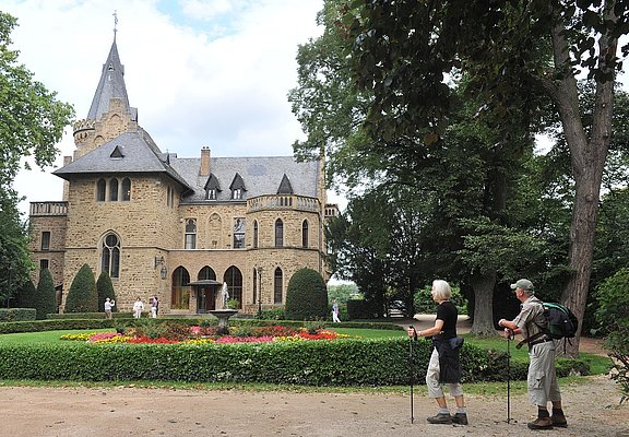
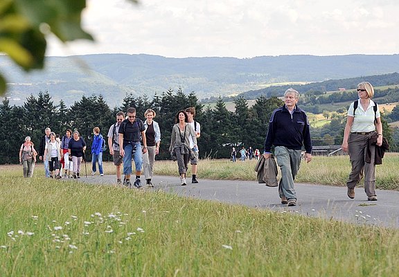
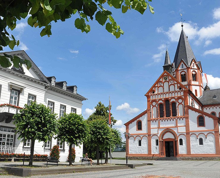
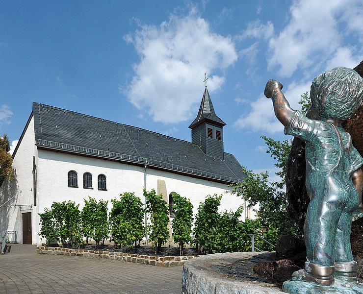
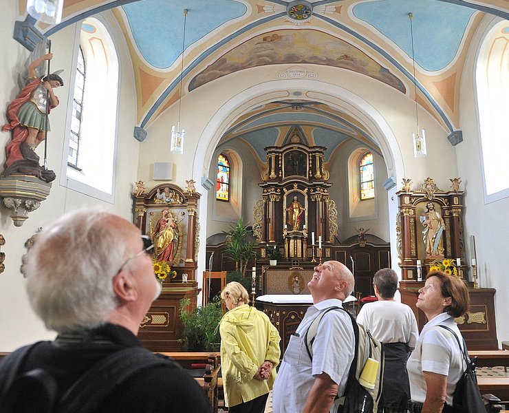
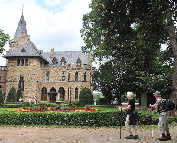
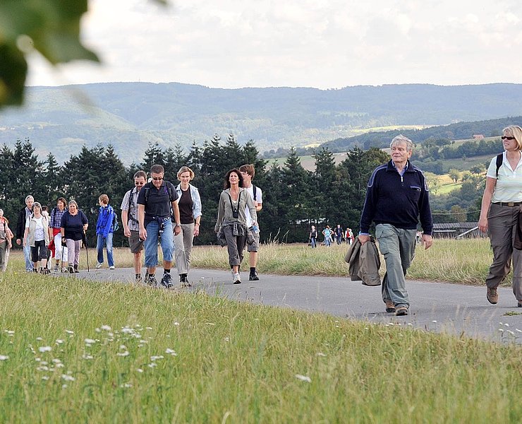
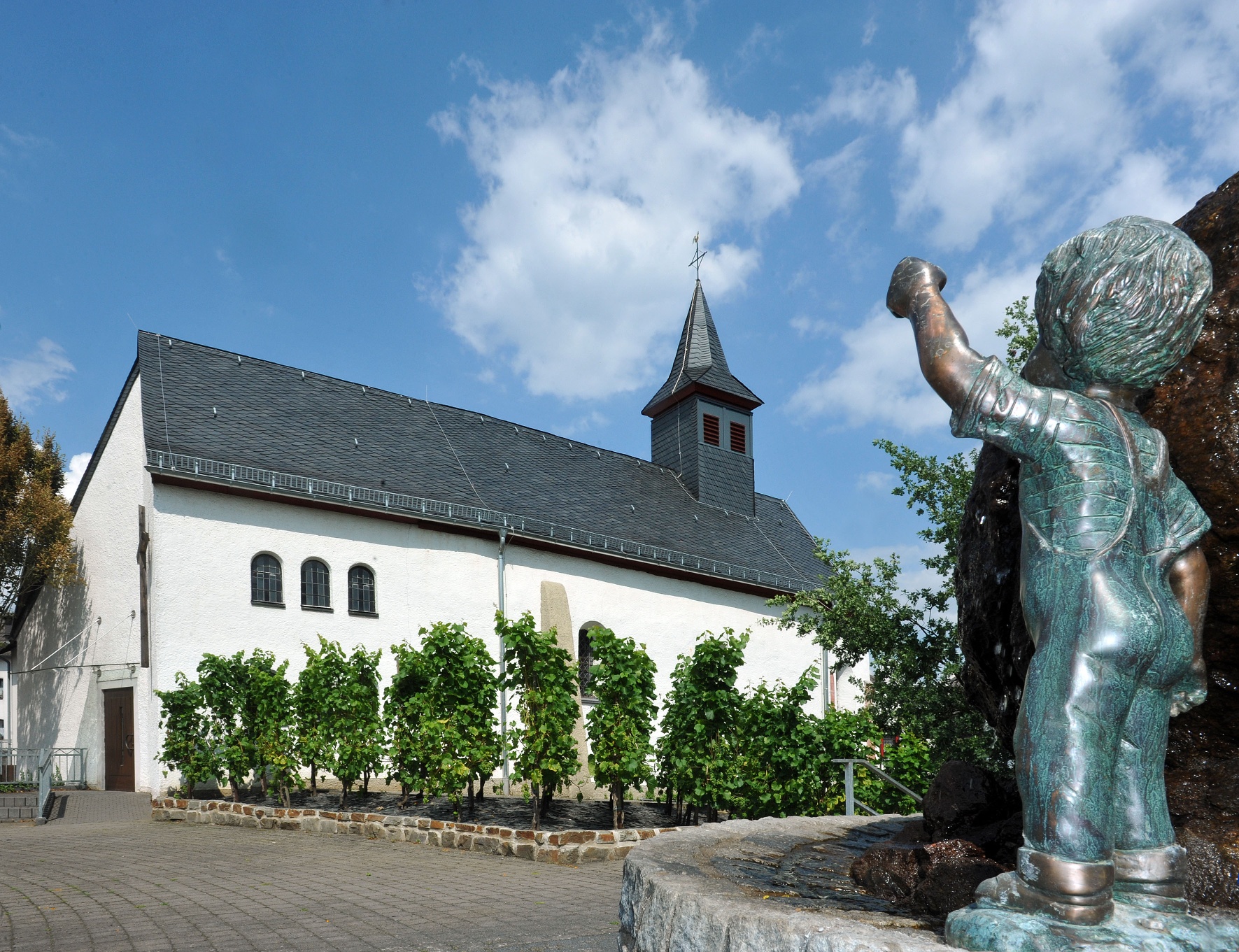
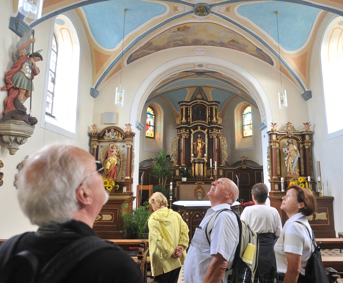
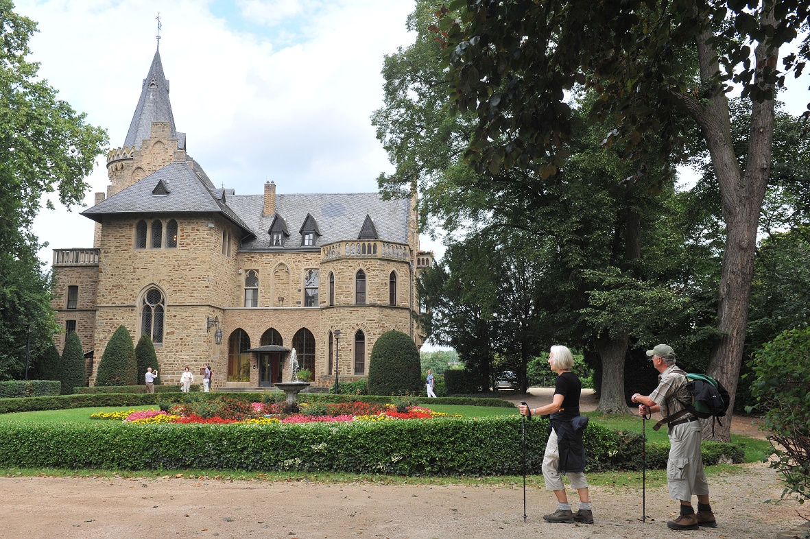
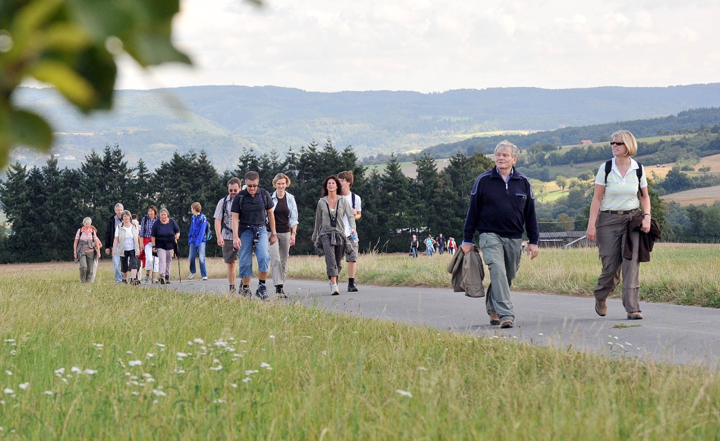
Entlang der „Barbarossa-Schleife“ können sich heute Wanderer auf zwei Rundwegen von der Attraktivität der Landschaft um die Barbarossastadt Sinzig und seiner Stadtteile überzeugen. Die grüne Schleife mit einer Länge von 15 km verläuft, ausgehend vom Sinziger Schloss, zunächst über den Rheinburgenweg zum Segelfluggelände Mönchsheide und weiter auf die Höhen des Ortsteils Franken. Hier lohnt sich ein Blick in die Pfarrkirche St. Michael, bevor es wieder bergab in Richtung Schloss Ahrental geht. Im nächsten Höhenort, Koisdorf angelangt, bieten sich dem Wanderer bereits die nächsten tollen Fernsichten in das Rheintal und die Eifel. Vorbei an der Wendelinuskapelle und der Skulptur des „Koisdorfer Käskömpche“ geht es zurück Richtung Sinzig. Ambitionierte Wanderer können beide Routen auch zu einer Schleife verbinden. Die Wege sind leicht zu gehen. Es sind auf der blauen Schleife ca. 230 Höhenmeter und auf der grünen Schleife ca. 200 Höhenmeter zu überwinden.
Along the "Barbarossa Loop," hikers today can explore two circular routes and experience the attractiveness of the landscape around the Barbarossa town of Sinzig and its districts. The green loop, 15 km in length, starts from Sinzig Castle, initially following the Rhine Castles Trail to the Mönchsheide gliding airfield and then up to the heights of the Franken district. Here, a visit to the parish church of St. Michael is worthwhile before descending again towards Ahrental Castle. Upon reaching the next elevated village, Koisdorf, hikers are rewarded with wonderful panoramic views of the Rhine Valley and the Eifel region. Passing the Wendelinus Chapel and the sculpture of the "Koisdorfer Käskömpche," the route leads back towards Sinzig. Ambitious hikers can also combine both routes into one loop. The paths are easy to walk. The blue loop involves about 230 meters of elevation gain, and the green loop about 200 meters to overcome.
The green loop, 15 km in length, starts from Sinzig Castle, initially following the Rhine Castles Trail to the Mönchsheide gliding airfield and then up to the heights of the Franken district. Here, a visit to the parish church of St. Michael is worthwhile before descending again towards Ahrental Castle. Upon reaching the next elevated village, Koisdorf, hikers are rewarded with wonderful panoramic views of the Rhine Valley and the Eifel region. Passing the Wendelinus Chapel and the sculpture of the "Koisdorfer Käskömpche," the route leads back towards Sinzig.
The green loop is 15 kilometres long and starts at Sinzig Castle, initially via the Rheinburgenweg trail to the Mönchsheide gliding site and on to the heights of the Franken district. Here it is worth taking a look at the parish church of St Michael before heading back downhill towards Ahrental Castle. Once you reach the next high-altitude village, Koisdorf, the next great views of the Rhine Valley and the Eifel await the hiker. Past the Wendelinus Chapel and the "Koisdorfer Käskömpche" sculpture, the route heads back towards Sinzig.
- Round trip
- Hiking trail
- ZG Vielseitig Aktive (L)
- ZG Aktive Naturgenießer (L)
- ZG Kultur- und Landschaftsliebhaber (L)
- ZG Nur Wanderer (L)
- ZG Städte-Genießer (L)
- Hiking
- Back for you

source
Stadt Sinzig
·
Author:
Maike Gausmann-Vollrath
















