EN
EN

Wanderweg
Wonderful Sahrbachtal hiking area | over the Ahr heights from/to Altenahr
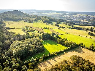
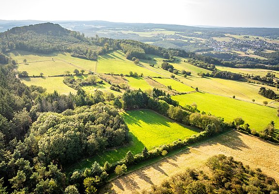
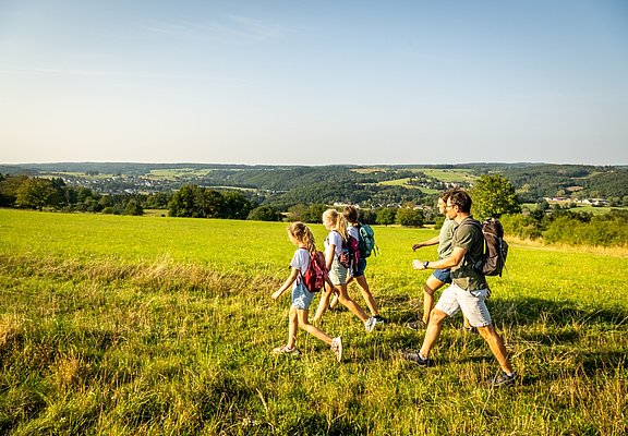
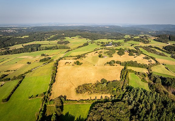
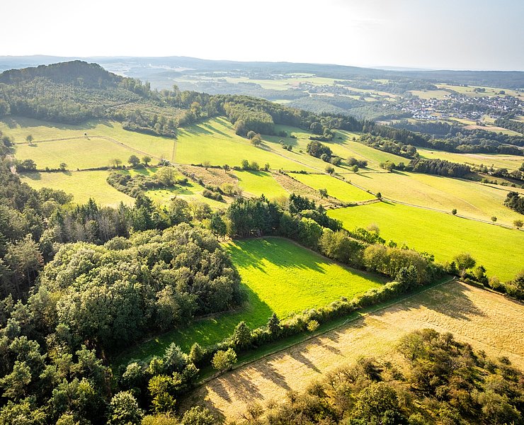
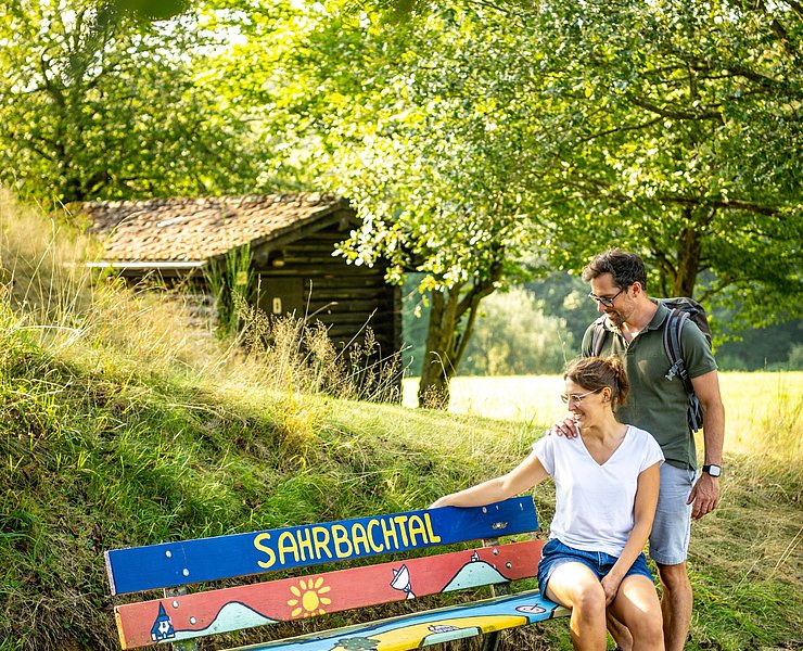
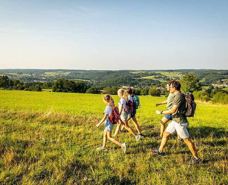
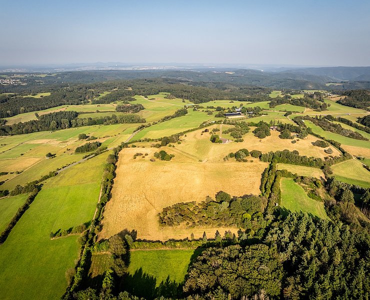
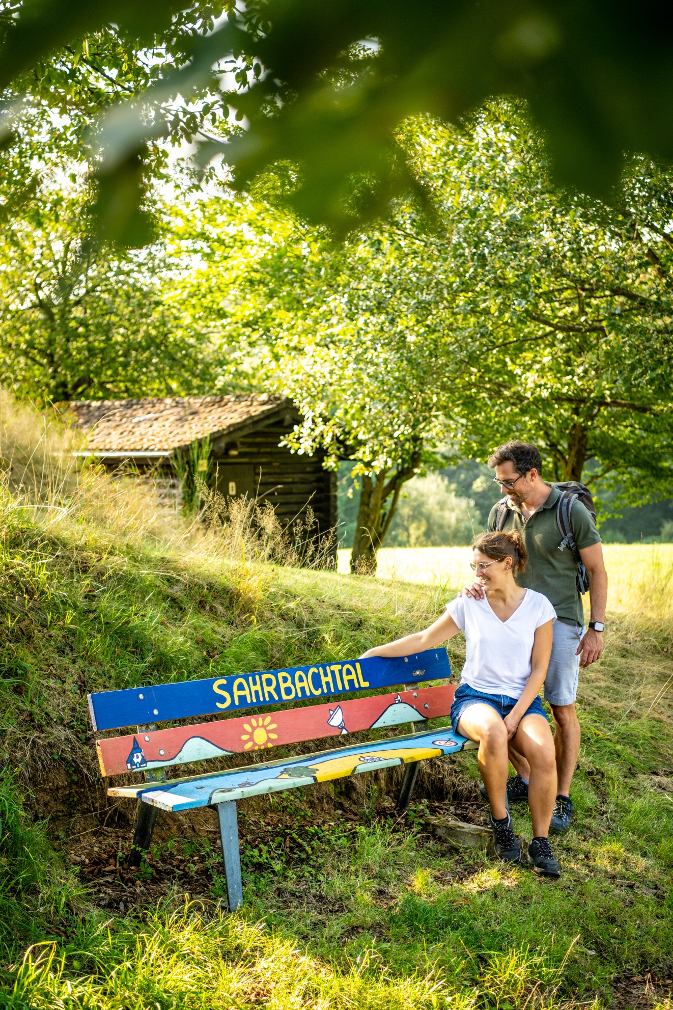
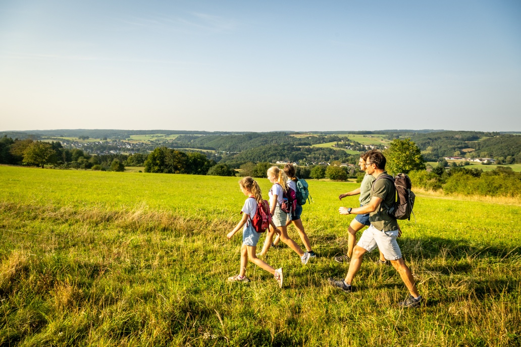
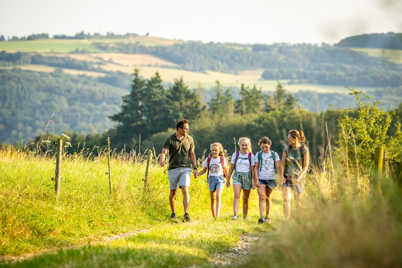
The Ahr heights and side valleys of the Ahr Valley are uniquely natural. The hike to the summit of the "Hasenberg" leads through the "Sahrbachtal hiking paradise". Along the way, well-signposted, quiet paths offer varied views and unexpected insights into nature.
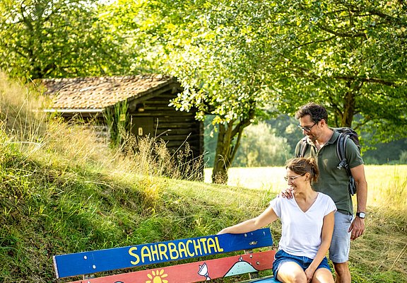
"Hiking paradise Sahrbachtal"
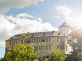
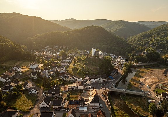
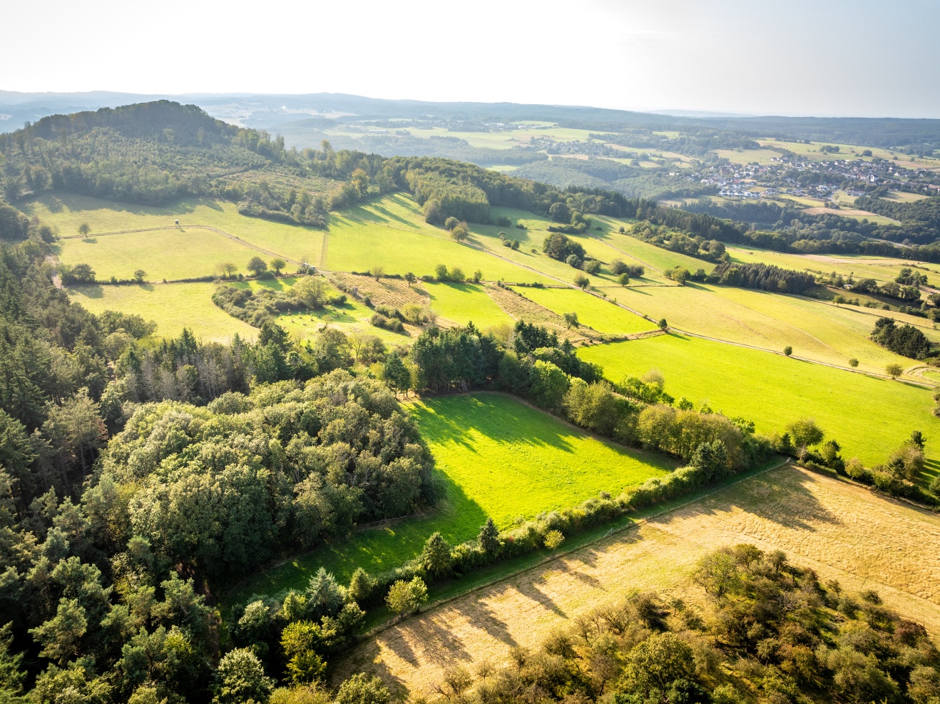
Kreuzberg Castle points the way to the Sahrbach Valley. With a network of around 80 kilometres of trails, the small side valley of the Ahr Valley is an insider tip for hikers and nature explorers.
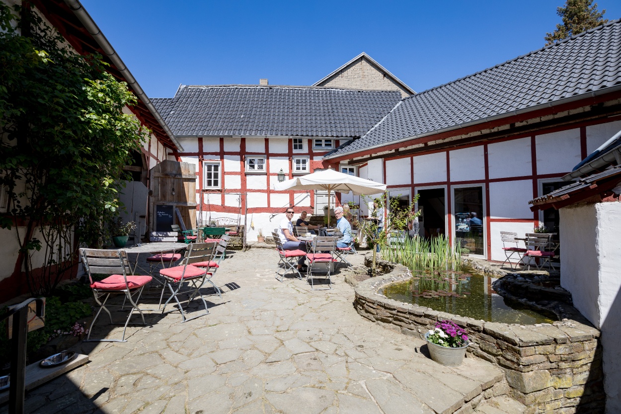
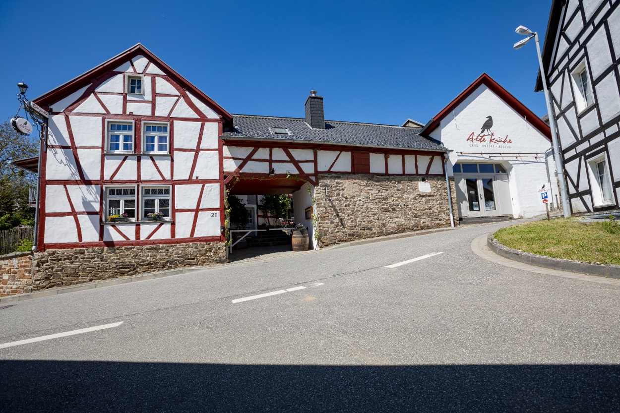
Cultural café "Alte Krähe", Krälingen - where hikers become couch potatoes
In the centre of the tranquil high-altitude village of Krälingen (400 m), visitors can escape from everyday life and experience a piece of home.
A farmstead that is more than 200 years old now caters for hikers, cyclists and connoisseurs.
In sunny weather, the romantic courtyard invites you to linger; in cooler temperatures, the crackling open fire in the parlour creates a cosy atmosphere.
The Ahr heights and side valleys of the Ahr valley present themselves uniquely natural. The hike to the summit on the "Hasenberg" leads through the "wonderful Sahrbachtal hiking area." On well-marked, quiet paths, varied distant views and unexpected insights into nature are offered.
"Wonderful Sahrbachtal hiking area"
Kreuzberg Castle points the way into the Sahrbachtal. With the network of paths spanning about 80 km, the small side valley of the Ahr valley is considered a hidden gem for hikers and nature explorers.
Cultural Café "Alte Krähe", Krählingen - where hikers become homebodies.
In the middle of the quaint high-altitude village of Krählingen (400 m), visitors can escape everyday life and experience a piece of home.
In a farmhouse complex over 200 years old, today hikers, cyclists, and connoisseurs are served.
In sunshine, the romantic courtyard invites you to linger; in cooler temperatures, the crackling fireplace in the lounge provides a cozy atmosphere.
The hike starts at the railway station in Altenahr
.Altenahr-Kreuzberg-Sahrbachtal
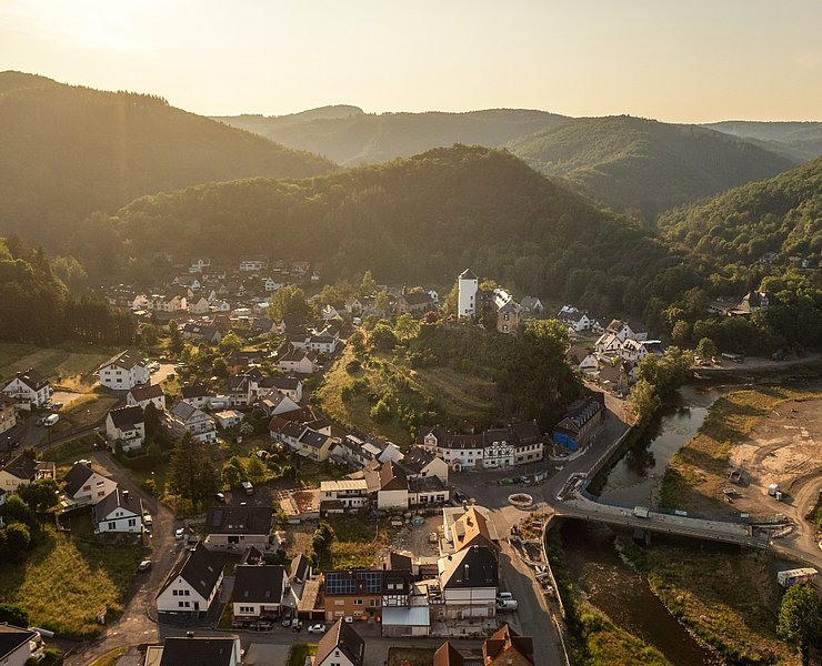
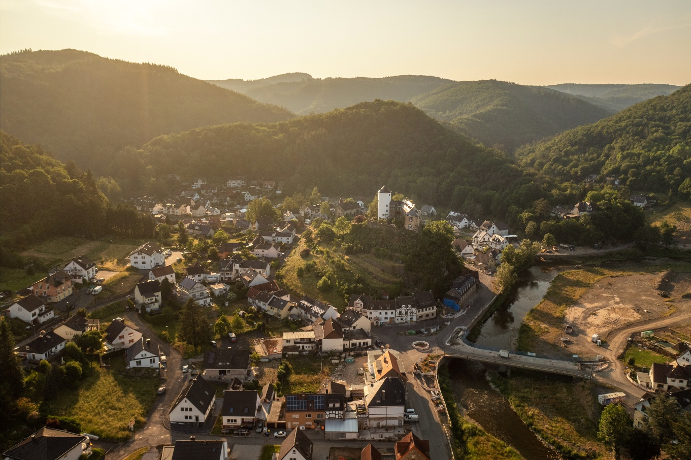
From the train station, the trail initially leads left for a few hundred metres along Altenburger Straße to the Altenburg district. Cross the Ahr bridge opposite the Maternus Chapel to reach the Ahr cycle path. Following the Ahr cycle path to the left, you soon have a view of Kreuzberg Castle and the village of the same name. Once you arrive in Kreuzberg, where the Sahrbach flows into the Ahr, you leave the course of the Ahr on the right via the road "In Dangeln". After crossing Münstereifler Straße below the rocks of Kreuzberg Castle, you will find the entrance to the Wanderparadies Sahrbachtal via the Sahrbachweg. The Sahrbachweg forms the main axis of the 80-kilometre "Sahrbachtal hiking paradise". The tour leads along the babbling brook, initially flat, then uphill into the idyllic Sahrbach Valley. After around 2.5 kilometres, you change sides of the stream after a descent into the valley. After crossing the country road, you pass flowering meadows and pastures along the stream and reach the Roisterbuscher Weg junction after around 4.5 km.
Ascent: Sahrbachtal-Häselingen- Hasenberg-Krälingen
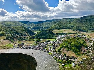
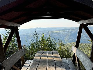
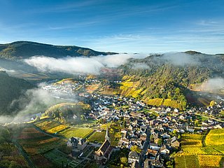
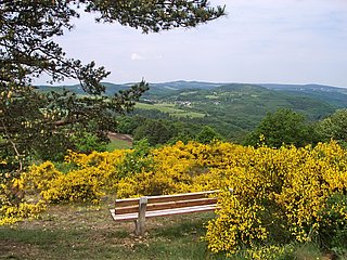
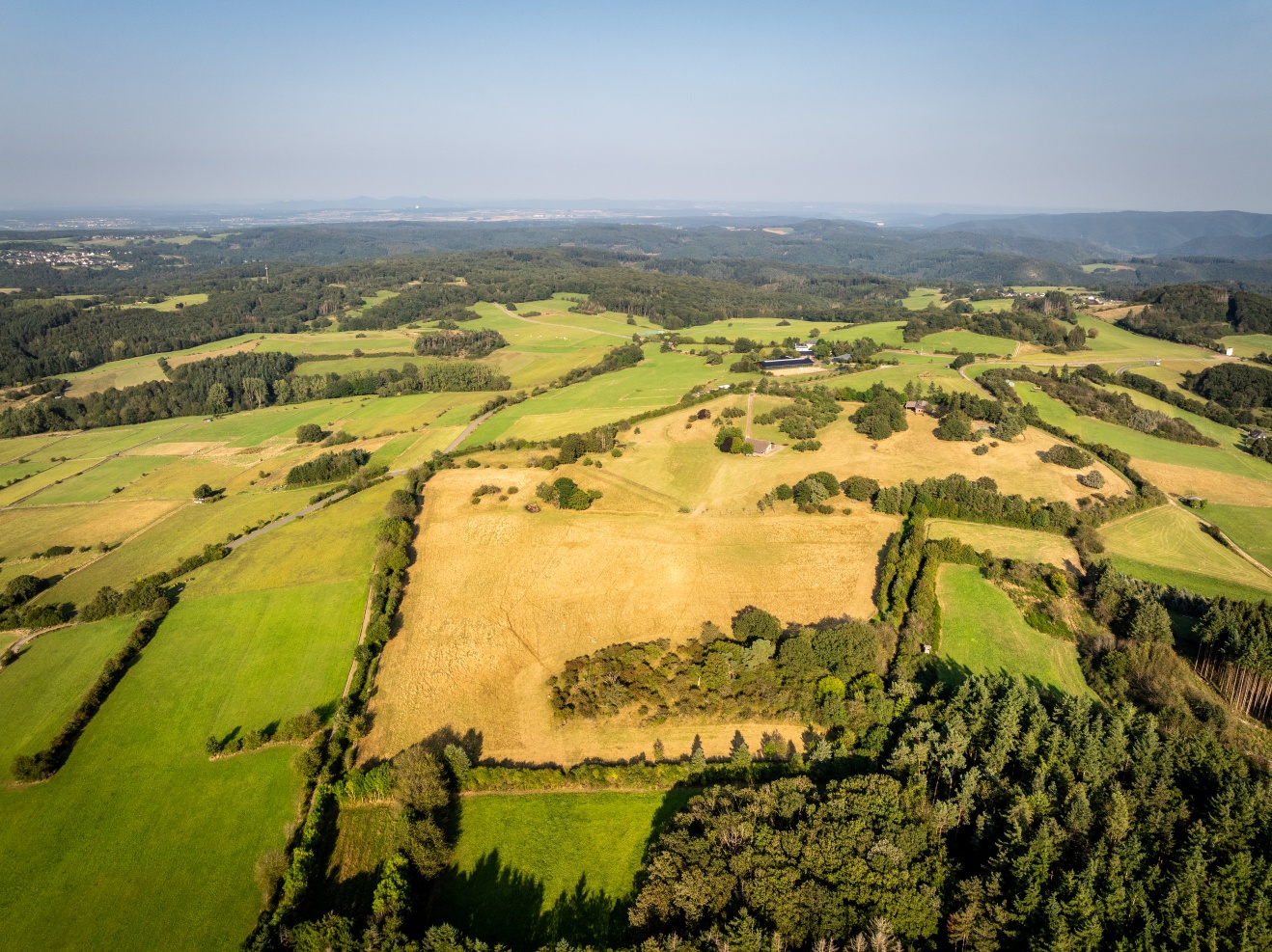
2.8 km uphill through cosy forests past meadows and fields to the Ahr heights on the outskirts of Häselingen. In the middle of the small Eifel village, you reach the K 31, follow it for around 100 metres and turn left onto the Hasenweg (section: Ahr-Venn-Weg, EV 11). The Hasenweg now leads around the mountain of the same name. After about 500 metres, the Hasenberg (471 m) offers climbers a magnificent panorama over the expanses of the Ahr valley and Eifel, as far as the Rhine and Siebengebirge with Petersberg and Drachenfels. Following the Hasenweg downhill, the village of Krälingen lies before a magnificent view. After around 11 kilometres, you will reach your refreshment stop here: the "Alte Krähe" in Krälingen.
Krälingen-Kreuzberg-Altenahr
After a break in a cosy and homely atmosphere, the hike continues: Firstly, follow the signs for Hasenweg to the end of the village and continue to Gottfried-Kinkel-Weg. Follow the Gottfried-Kinkel-Weg to the left for 200 metres along the K31. The route now leads along forest paths and further downhill along narrow paths. After 3 kilometres, you reach the Vischeltal valley in Kreuzberg. A small footbridge leads over the Vischelbach. Keep right and you will soon reach the first houses on the outskirts of Kreuzberg. Where the Vischelbach and the Sahrbach join the Ahr, follow the path to the left downstream. The familiar route along the cycle path takes you to Altenahr, the starting point of the hike.
The start of the hike is at the Altenahr train station.
Altenahr-Kreuzberg-Sahrbachtal
From the station, the path initially leads left for a few hundred meters along Altenburger Straße to the district of Altenburg. Crossing the Ahr bridge opposite the Maternus Chapel, the Ahr bike path is reached. Following the Ahr bike path to the left, you soon get a view of Kreuzberg Castle and the village of the same name. Arriving at Kreuzberg, where the Sahrbach flows into the Ahr, the course of the Ahr is left to the right via the street "In Dangeln." After crossing Münstereifler Straße below the rocks of Kreuzberg Castle, the entrance to the wonderful Sahrbachtal hiking area is reached via the Sahrbachweg. The Sahrbachweg forms the main axis in the 80 km extensive "wonderful Sahrbachtal hiking area." The route runs along the babbling brook, initially flat, then with an ascent into the idyllic Sahrbachtal. After about 2.5 km, following a descent into the valley, the side of the brook is changed. After crossing the country road, passing blooming flower meadows and pastures, the junction of the Roisterbuscher Weg is reached after about 4.5 km.
Ascent: Sahrbachtal-Häselingen- Hasenberg-Krählingen
For 2.8 km, the path ascends through shady forests past meadows and fields to the Ahr heights, to the outskirts of Häselingen. Through the small Eifel village, K 31 is reached; follow it for about 100 meters and then turn left onto Hasenweg (section: Ahr-Venn-Weg, EV 11). The Hasenweg now leads around the mountain of the same name. After about 500 meters, the summit conqueror of Hasenberg (471 m) is rewarded with a magnificent panorama over the expanses of Ahr valley and Eifel, as far as the Rhine and the Siebengebirge with Petersberg and Drachenfels. Going downhill along Hasenweg, the village of Krählingen lies before a grand view. After about 11 km, the destination for refreshment is reached here: the "Alte Krähe" in Krählingen.
Krählingen-Kreuzberg-Altenahr
After the rest in a cozy and very comfortable atmosphere, the hike continues: initially follow the signs for Hasenweg to the village exit and further to the Gottfried-Kinkel-Weg. Follow Gottfried-Kinkel-Weg to the left for about 200 meters along K31. The route now continues over forest paths and later on narrow trails downhill. After 3 km, the Vischeltal in Kreuzberg is reached. A small footbridge leads over the Vischelbach. Then keep right; soon the first houses on the outskirts of Kreuzberg are reached. Where the Vischelbach and Sahrbach flow into the Ahr, follow the path left downstream. Altenahr is reached via the already known route along the bike path, the starting point of the hike.





- ZG Vielseitig Aktive (L)
- ZG Aktive Naturgenießer (L)
- ZG Kultur- und Landschaftsliebhaber (L)
- ZG Nur Wanderer (L)
- ZG Städte-Genießer (L)
- Round trip
- Hiking trail
- Insider tip
- Culture highlight
- Refreshment stop
- promising
- Back for you
- Hiking

source
Verbandsgemeinde Altenahr
·
Author:
Ulla Dismon