 EN
EN



Wanderweg
Rocks, castles, game, and wine | to/from Altenahr train station
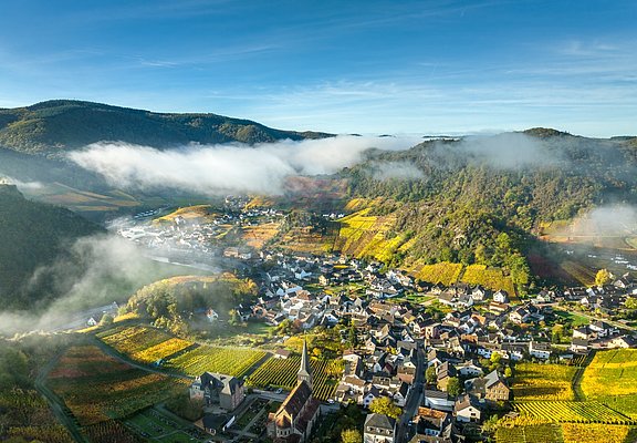
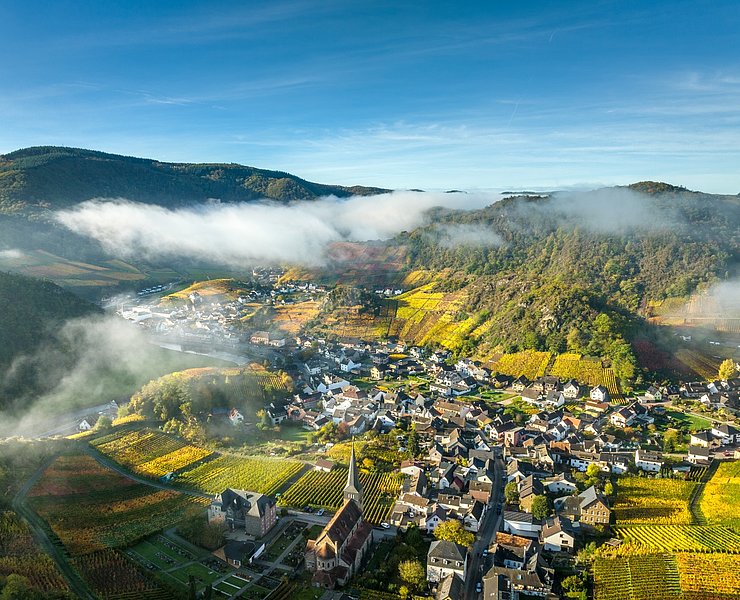
The trail leads from the valley through the wildlife reserve and through the Ahr hills back to the vineyards over the Middle Ahr.
With a bit of luck, you can observe wild animals of the Eifel during a quiet walk through the Weisserath reserve.
>The trail leads from the valley through a game reserve and over the Ahr hills back to the vineyards on the Middle Ahr.
With a little luck, you can observe Eifel game in the wild during a quiet walk through the Weisserath game reserve.
Altenahr - Weisserath-Kalenborn game reserve
.The hike starts at the railway station in Altenahr. Via the Ahrbrücke on the right, we reach the parish church of Altenahr. To the left of the church, the Weinbergstrasse leads up into the vineyards of Altenahr. Continue along the path, passing the fire brigade's replacement site on the left, and a bridge leads over the town bypass.
At the next fork, we change to trail no. 10. The signs lead past the Rangshof to the Weisserath game reserve. During the walk through the game reserve, with a bit of luck you can observe Eifel game in the wild.
After about 2.5 km we leave the game reserve and reach the village of Kalenborn.
The path leads through the village to the L492, which we follow briefly and then cross the B 257 on the "Kalenborner Höhe"
.The path continues straight ahead past a residential house. From here you have a magnificent view as far as Bonn and the Siebengebirge.
Kalenborn-Dernau
Slightly downhill we follow the path through sunny fields and short forest sections for about 3 kilometres.
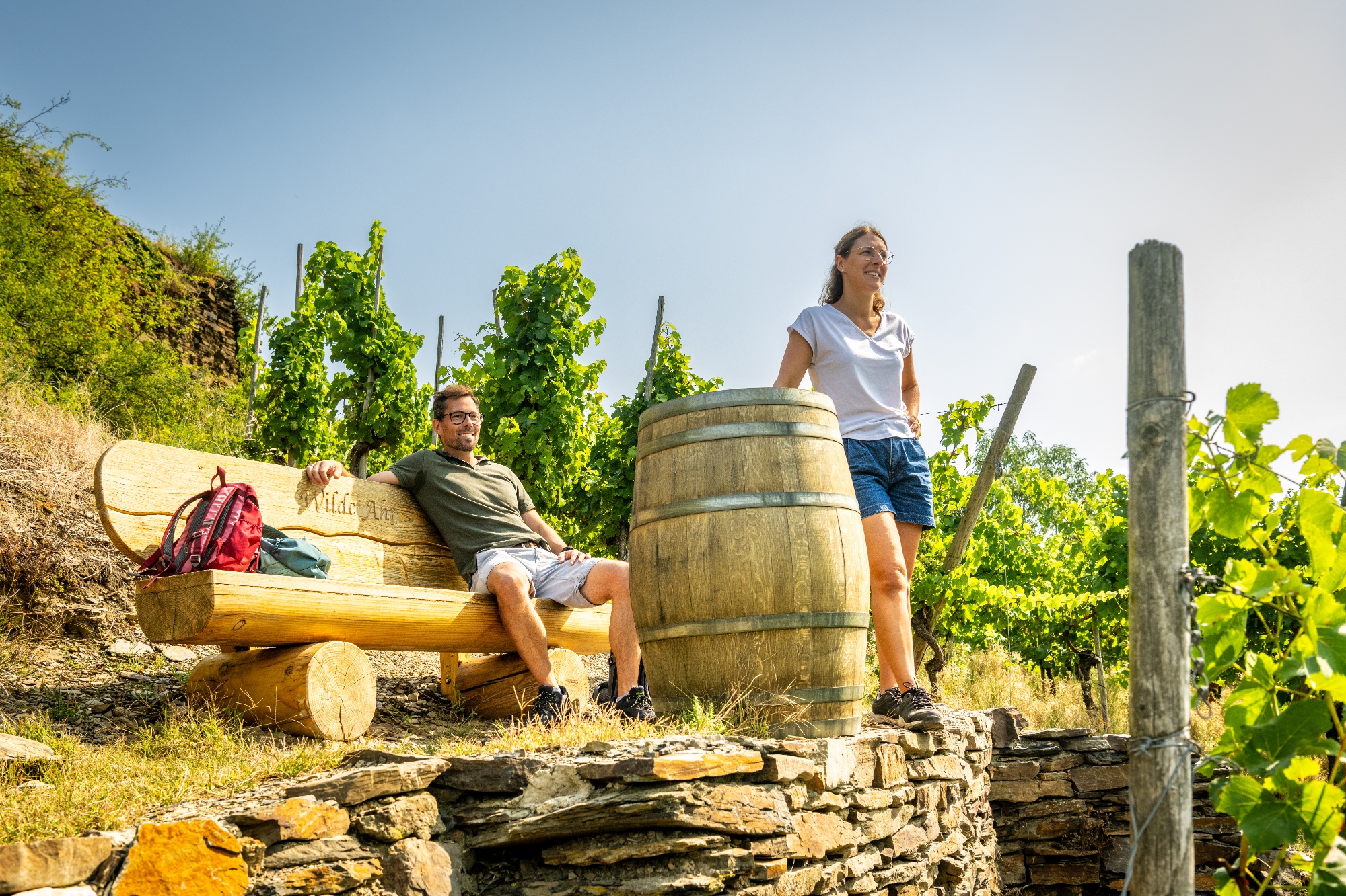
With a view of the village of Esch, a narrow path leads to the right at a hikers' car park to the "Josef Marner Ruh". The rest area is signposted from the path.
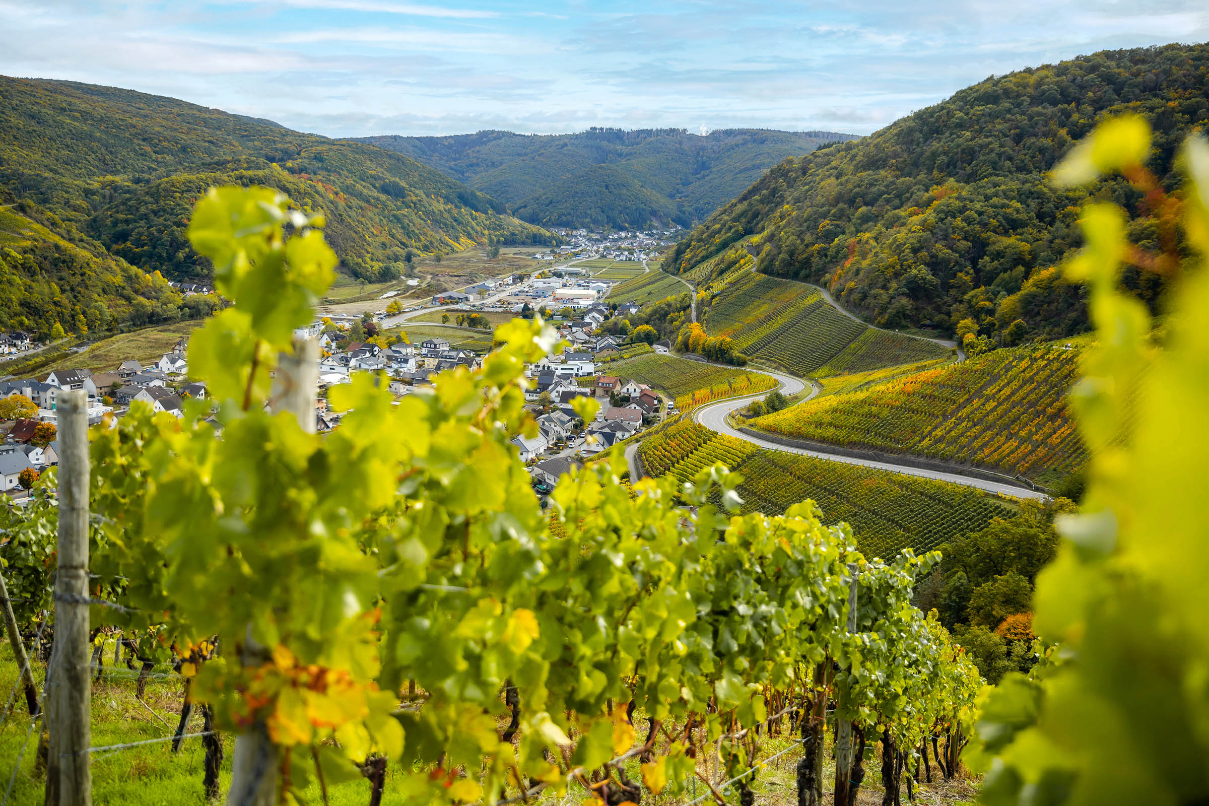
The rest area is reached after only 30 metres. From here you have a first view of the vineyards around Dernau and Rech.
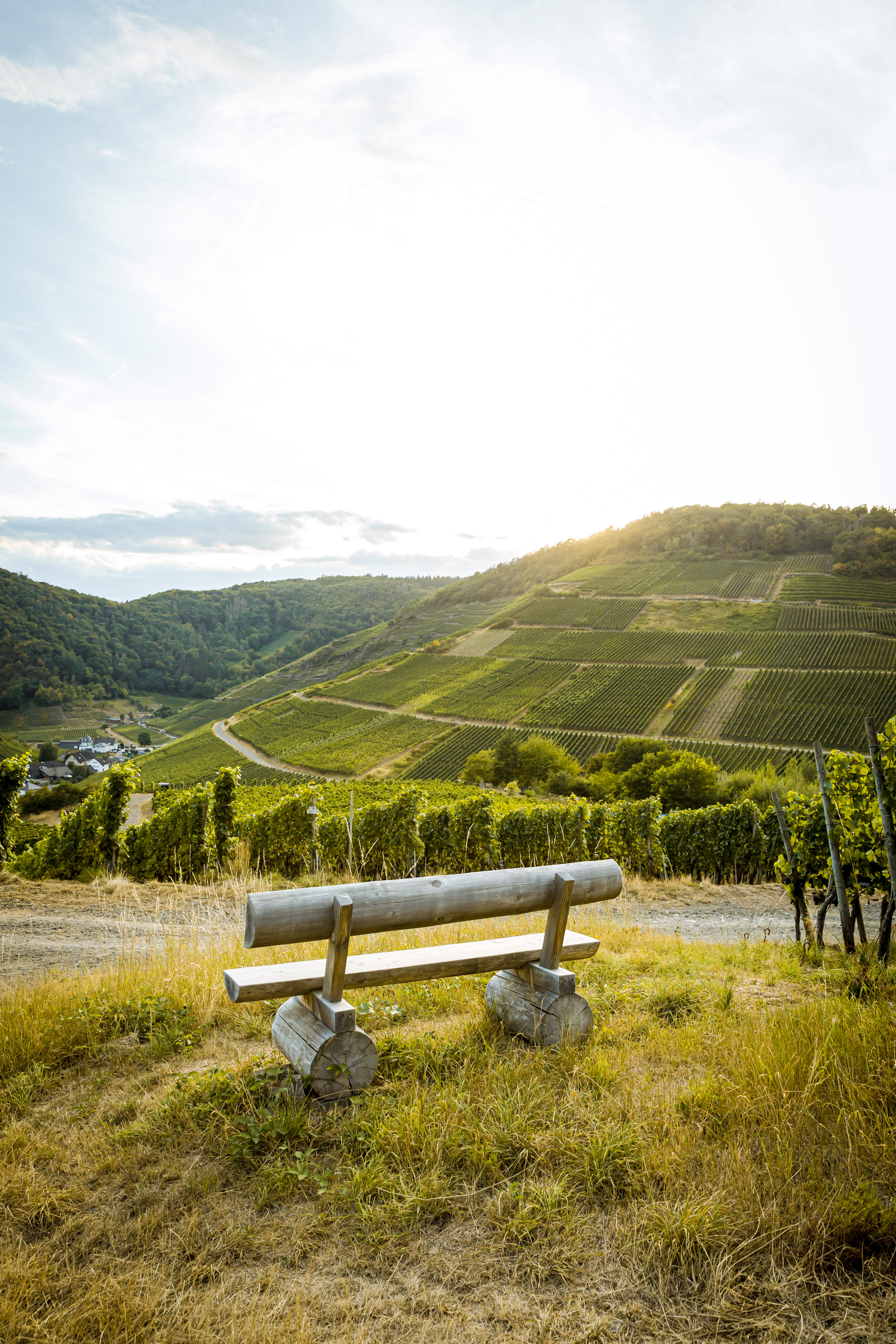
From the resting place you have a view of the vineyards around Dernau and Rech.
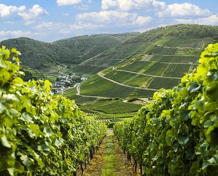
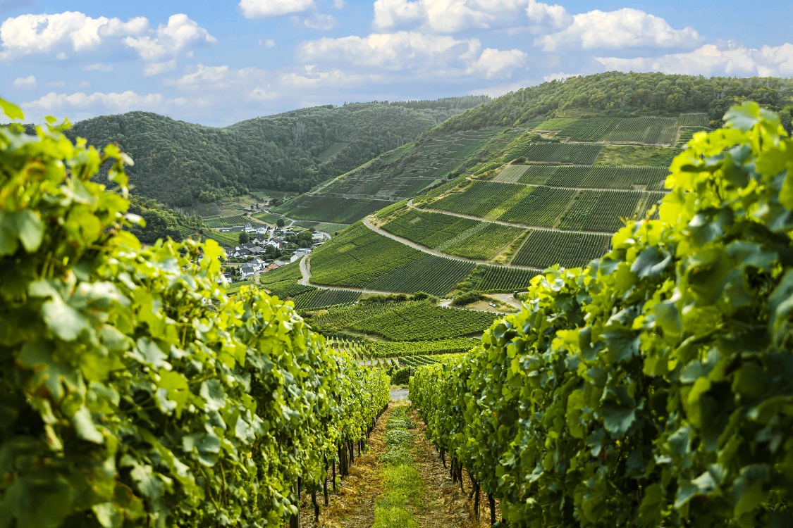
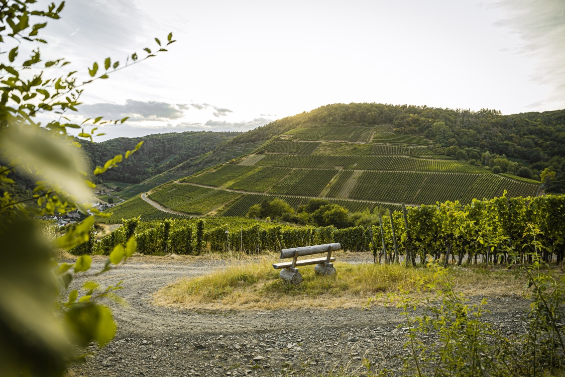
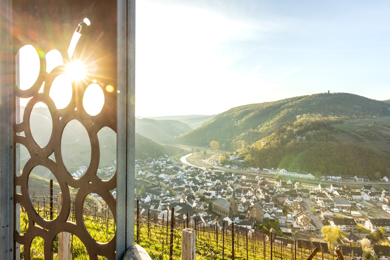
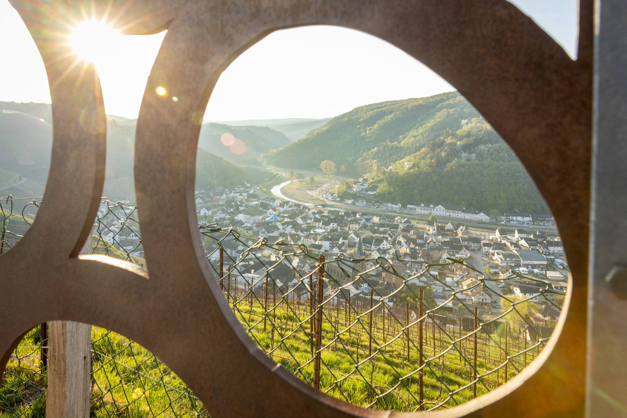
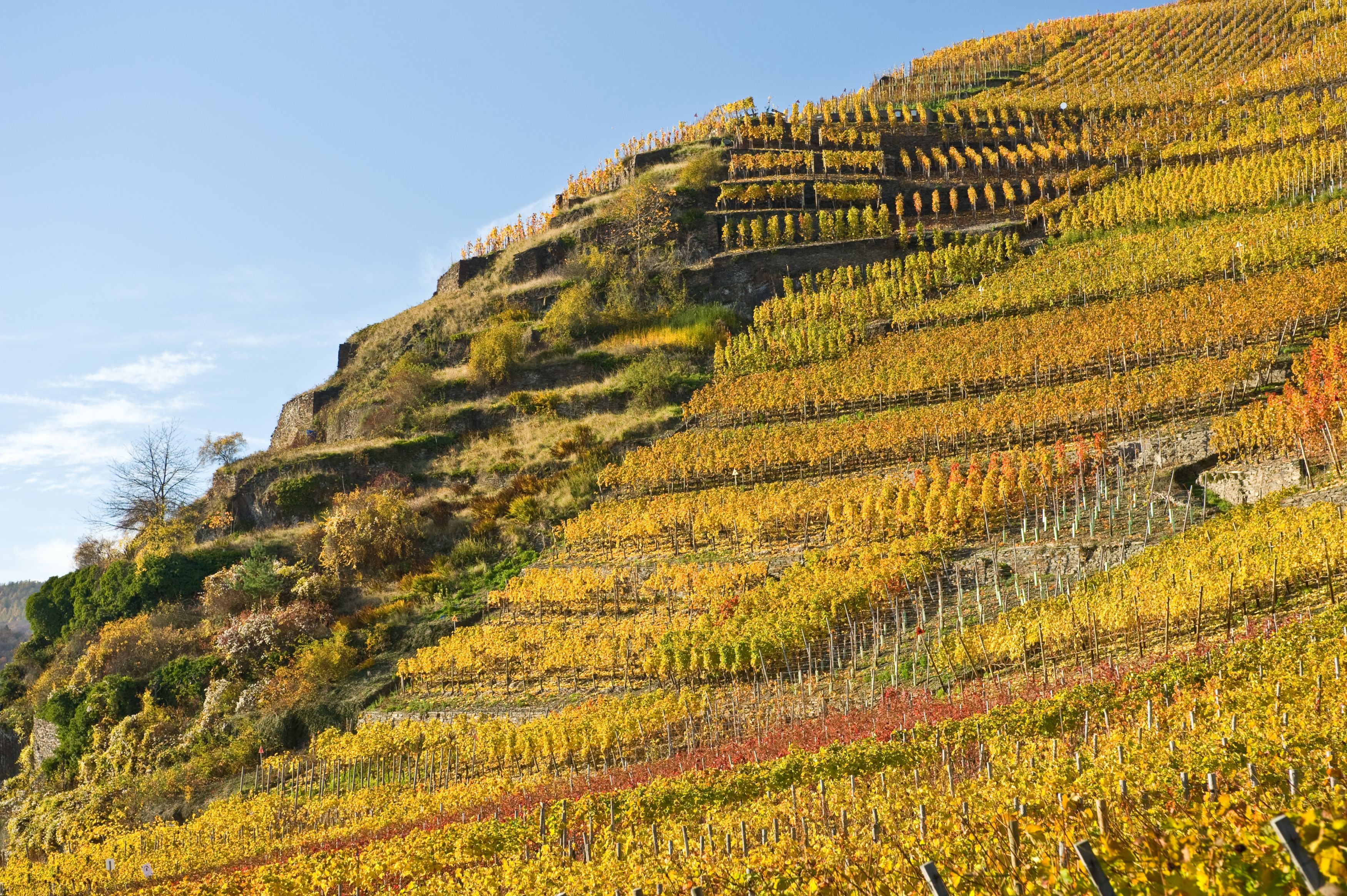
From the rest area, steps lead down to an economic path into the vineyards. Follow the vineyard path to the right and you will reach the "Schönste Weinsicht" above Dernau directly on the K 35. The view from here of the village and the surrounding vineyards is sensational. A steele points to this: the view was awarded the title of "Schönste Weinsicht" ("Most beautiful wine view") on the Ahr in 2016.
Dernau-Rech
We follow the K35 briefly downhill. Before the left-hand bend, there is a Jewish cemetery on the right-hand side of the road.
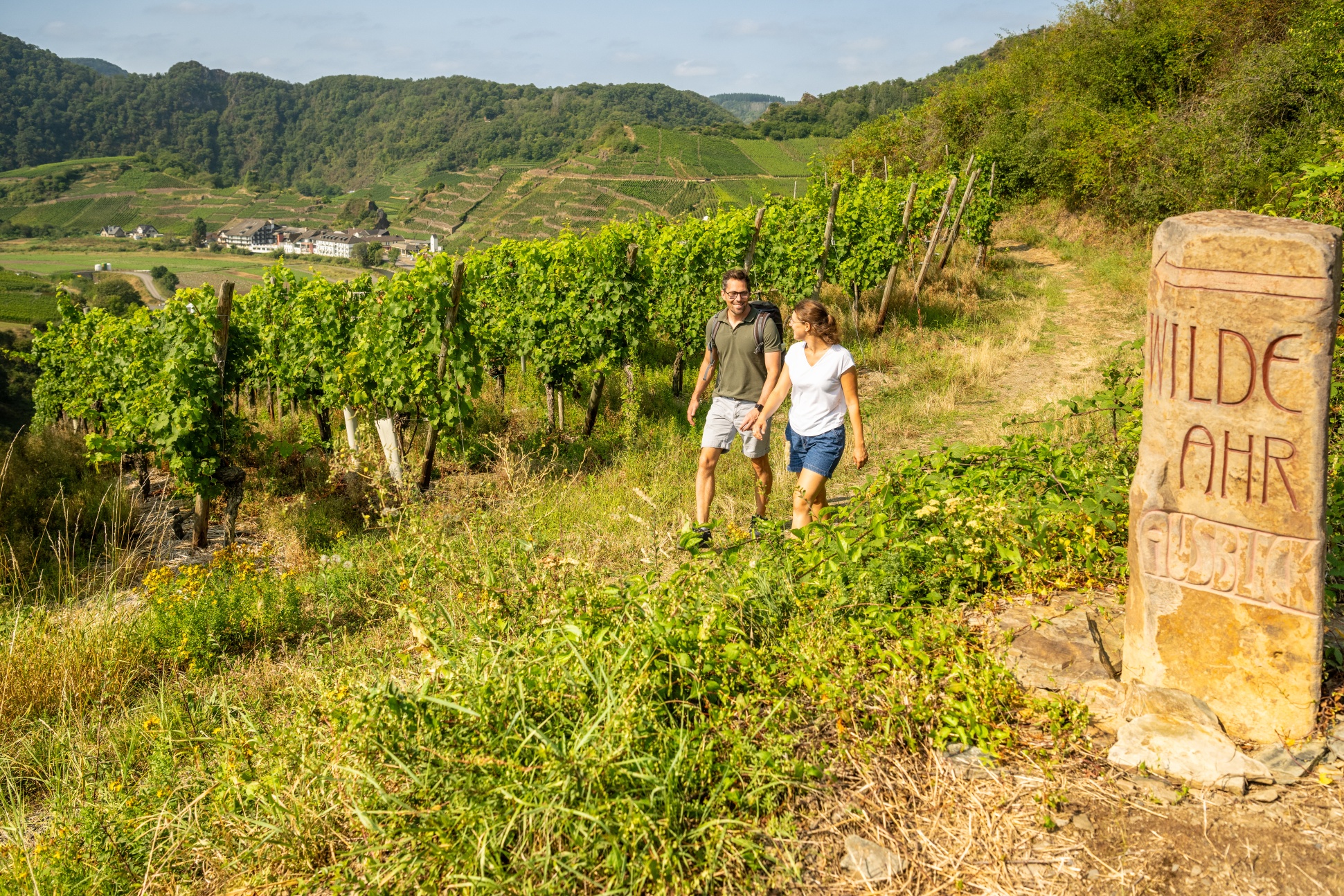
After the left-hand bend, we turn right onto the Rotweinwanderweg (red wine trail) towards Altenahr. After about 200 metres on the Rotweinwanderweg, the path forks at a wayside shrine. Here we leave the Rotweinwanderweg and turn at the same height into a farm track towards Rech.
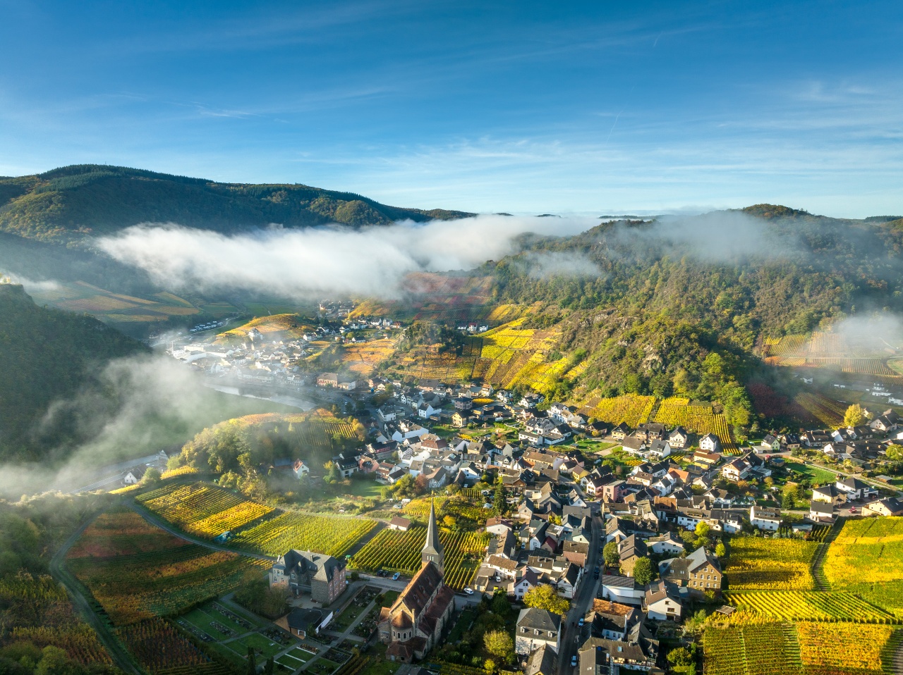
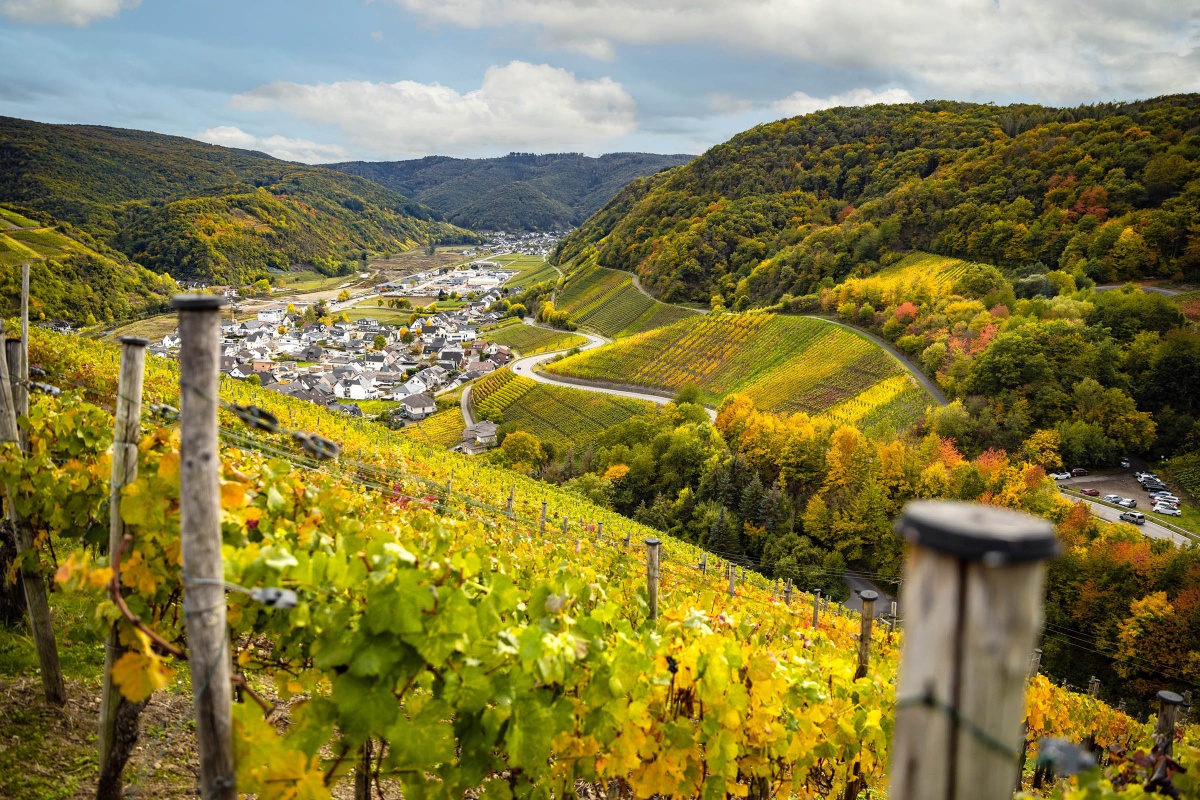
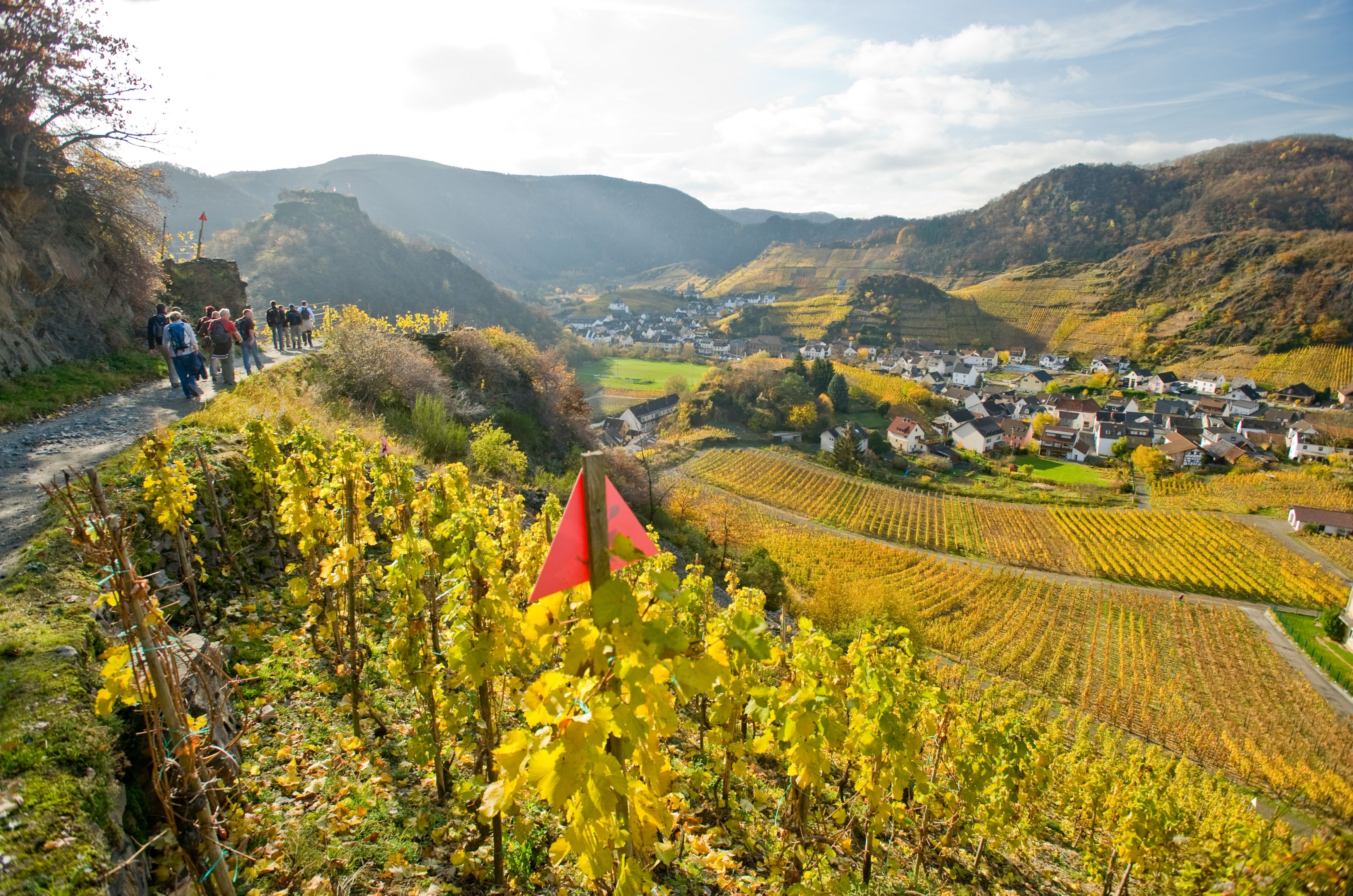
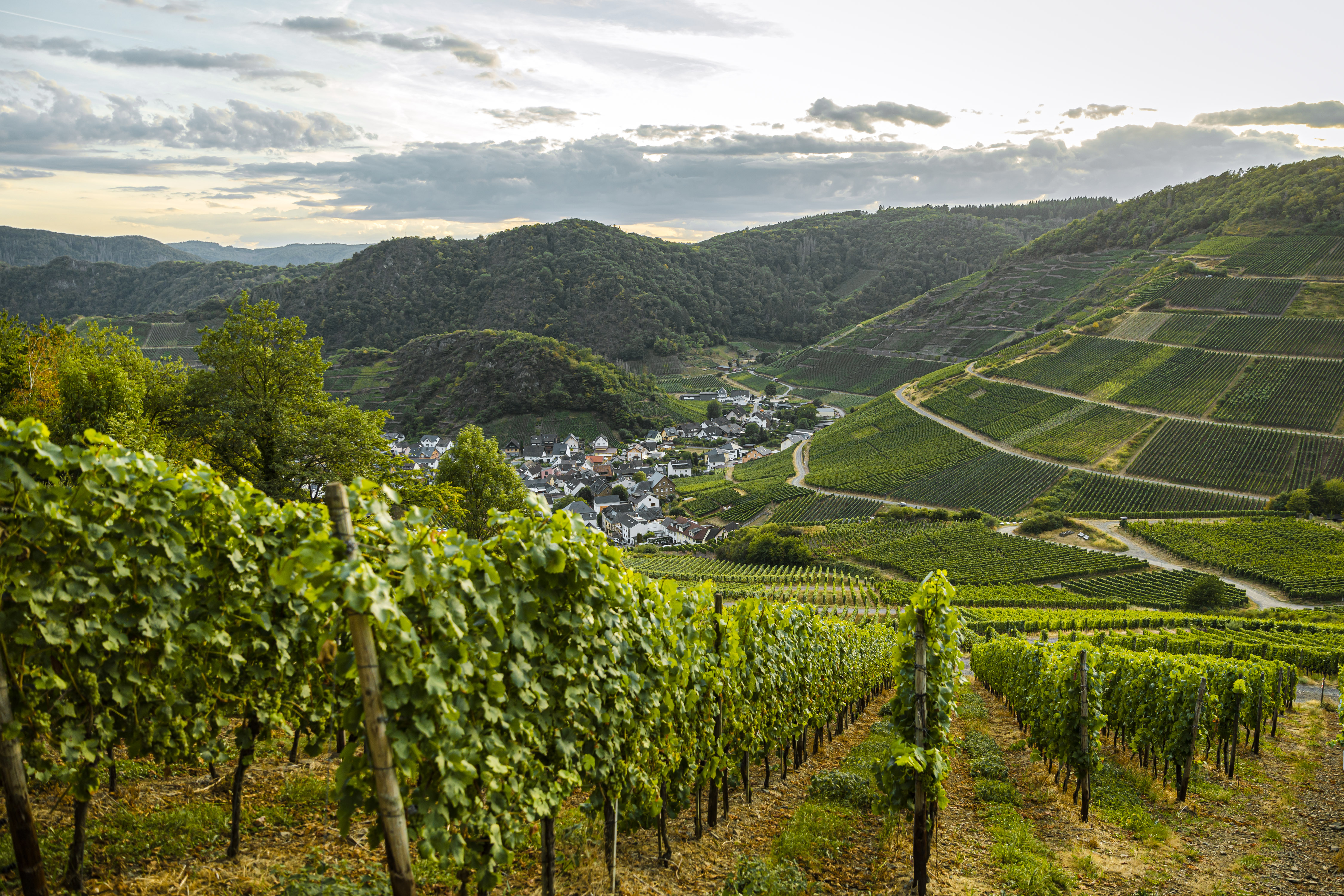
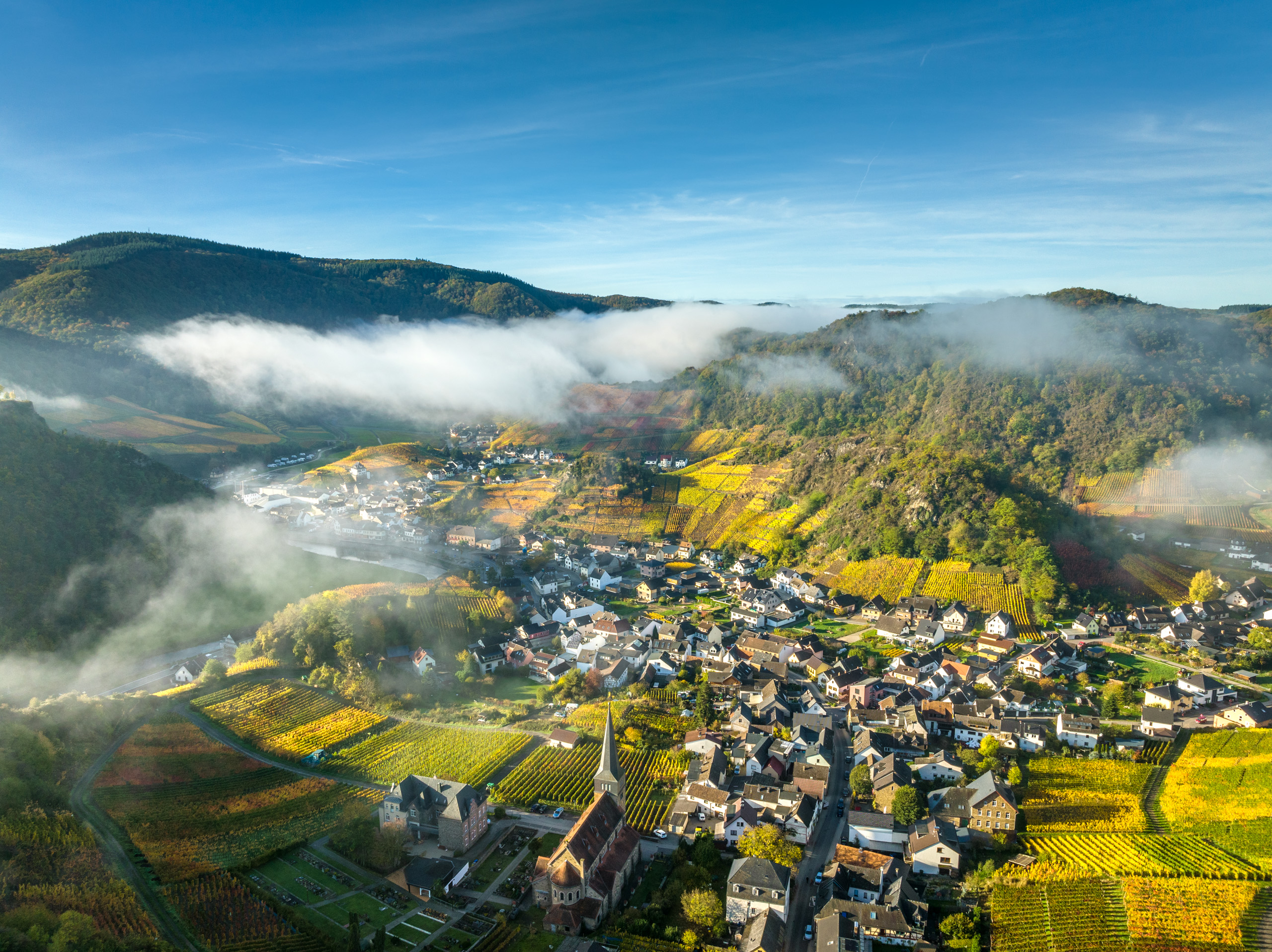
Wonderful views of the valley, the vineyards and the Saffenburg near Mayschoss accompany the approximately 3 km long trail, which first leads along the hill above Rech and then downhill back onto the red wine trail.#
Rech-Mayschoß on the Red Wine Trail
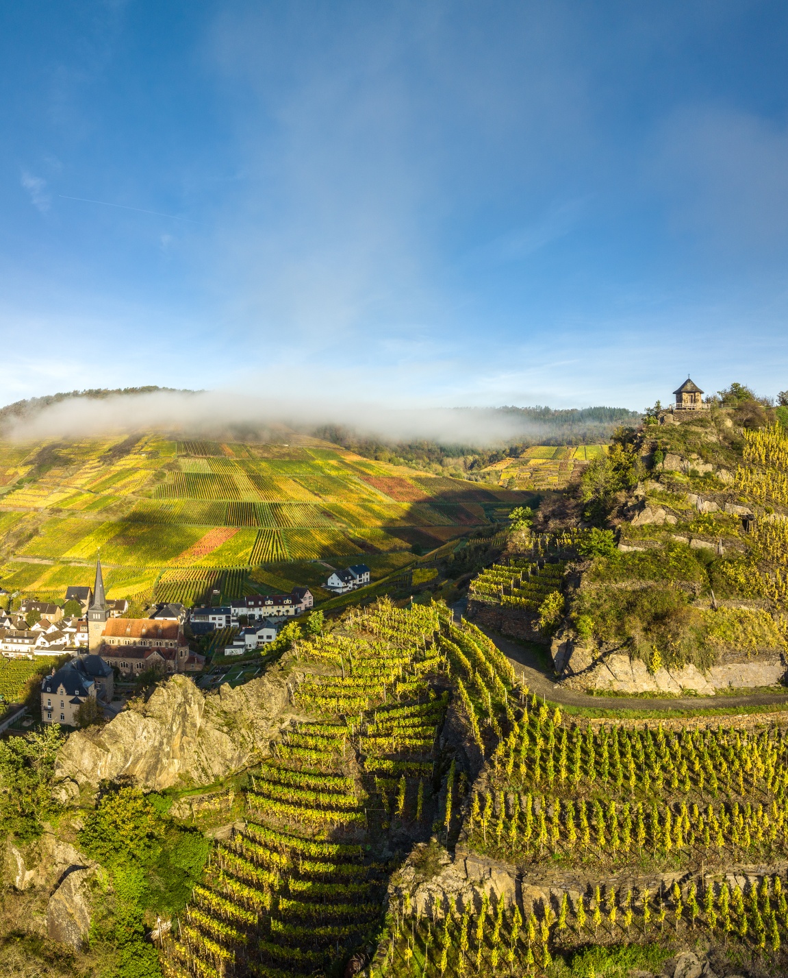
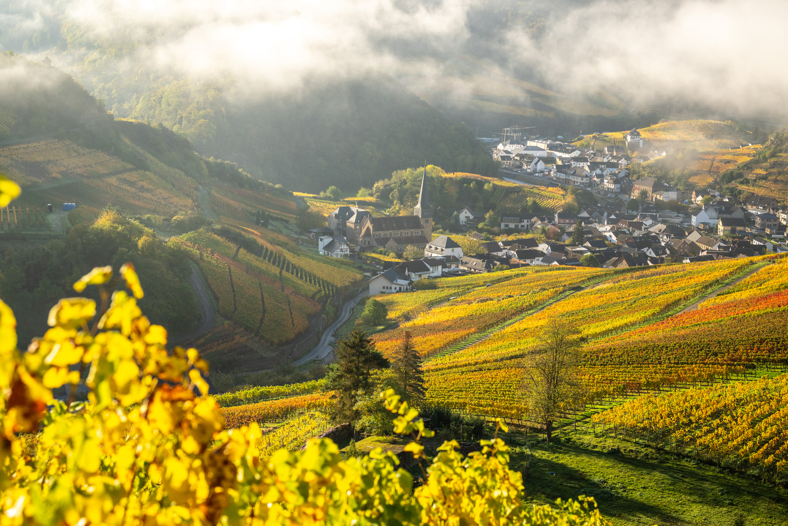
.Back on the Red Wine Trail, we follow the signs to the right in the direction of Mayschoß. The Red Wine Trail leads along one of its most beautiful sections around Mayschoß. The views of the valley, the Saffenburg and the surrounding villages are a delight!
A crisp climb up to the Ümerich
.In Mayschoß we leave the red wine hiking trail and descend into the village. Passing a campsite, the trail continues uphill to the right and back into the vineyards. From the "Laacher Berg" vineyard, the valley once again presents itself from its most beautiful side. At the next fork in the road, follow the signs to the right to "Ümerich". The crisp climb of around 1 kilometre is rewarded with new great views. On the way to the Ümerich, there is a short detour to the left to the "Mohrenkopf". There is a signpost along the way. Once you have reached the top of the hill, turn right at the fork in the road and take the detour to the "Ümerich" lookout point. Surefootedness is required for the short footpath over rocky sections.
Back to Altenahr
.The rest of the way leads back to the red wine hiking trail in the direction of Altenahr.
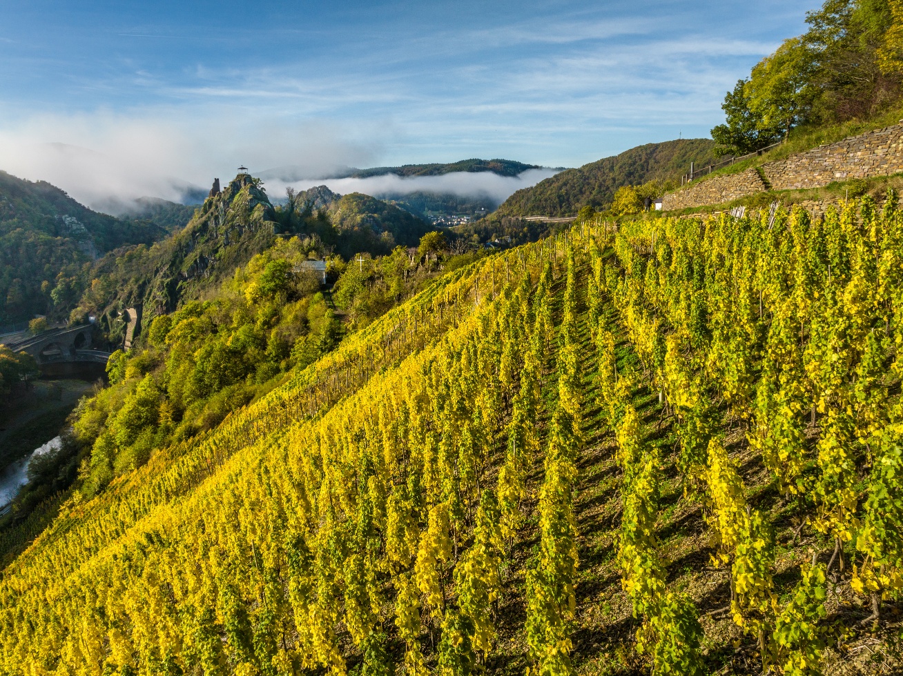
At the vineyard site "Altenahrer Eck", also awarded the "Schönster Weinsicht" by the German Wine Institute, the descent to Altenahr begins.
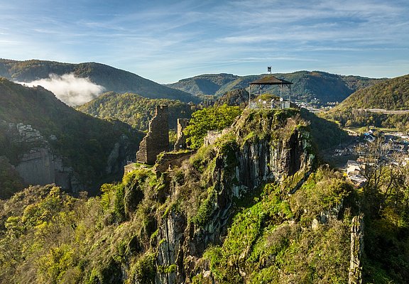
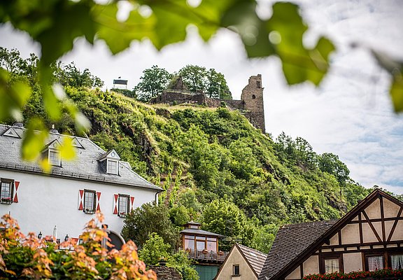
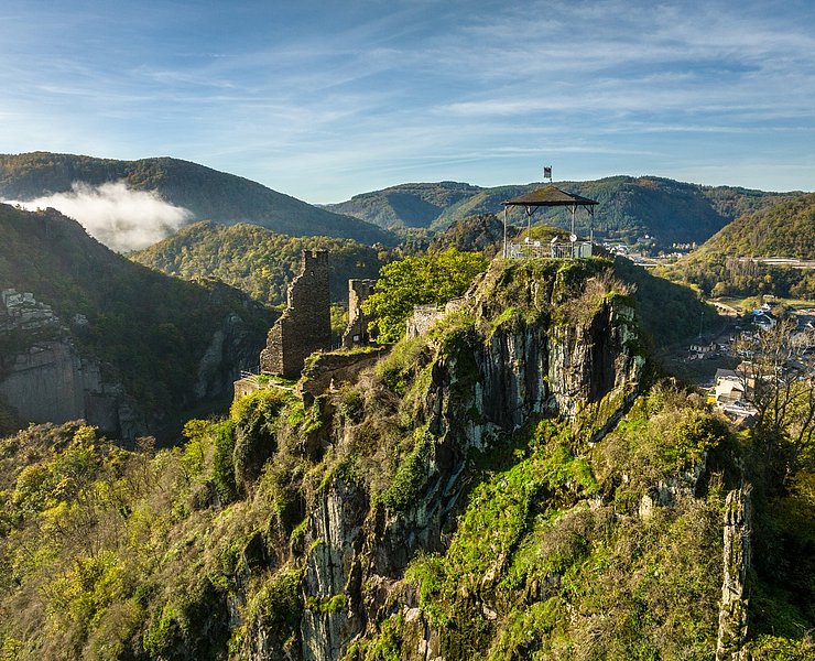
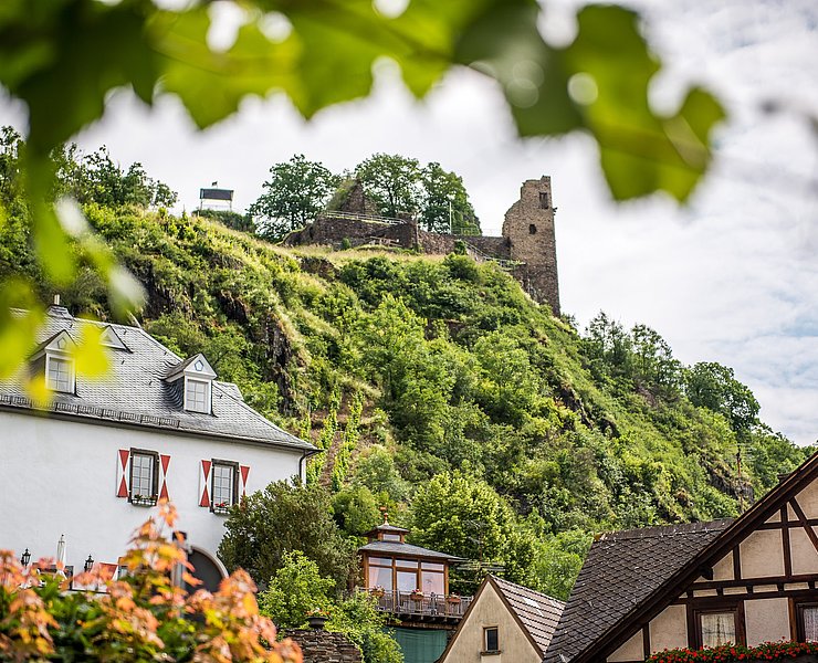
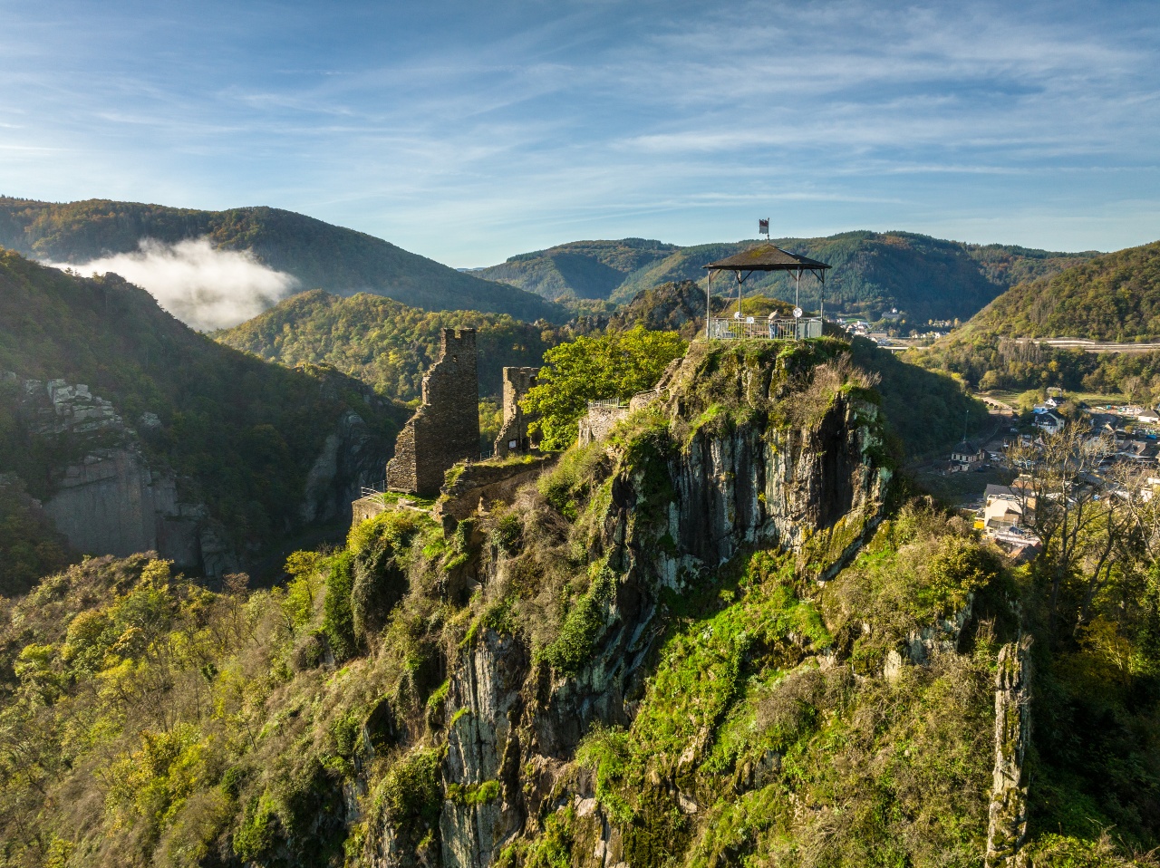
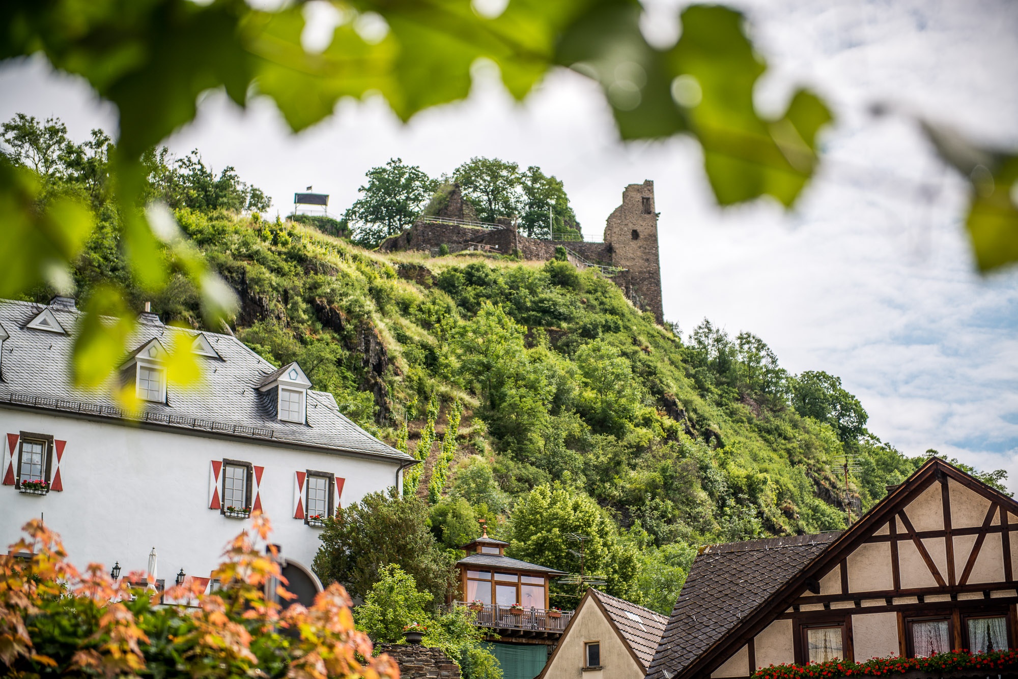
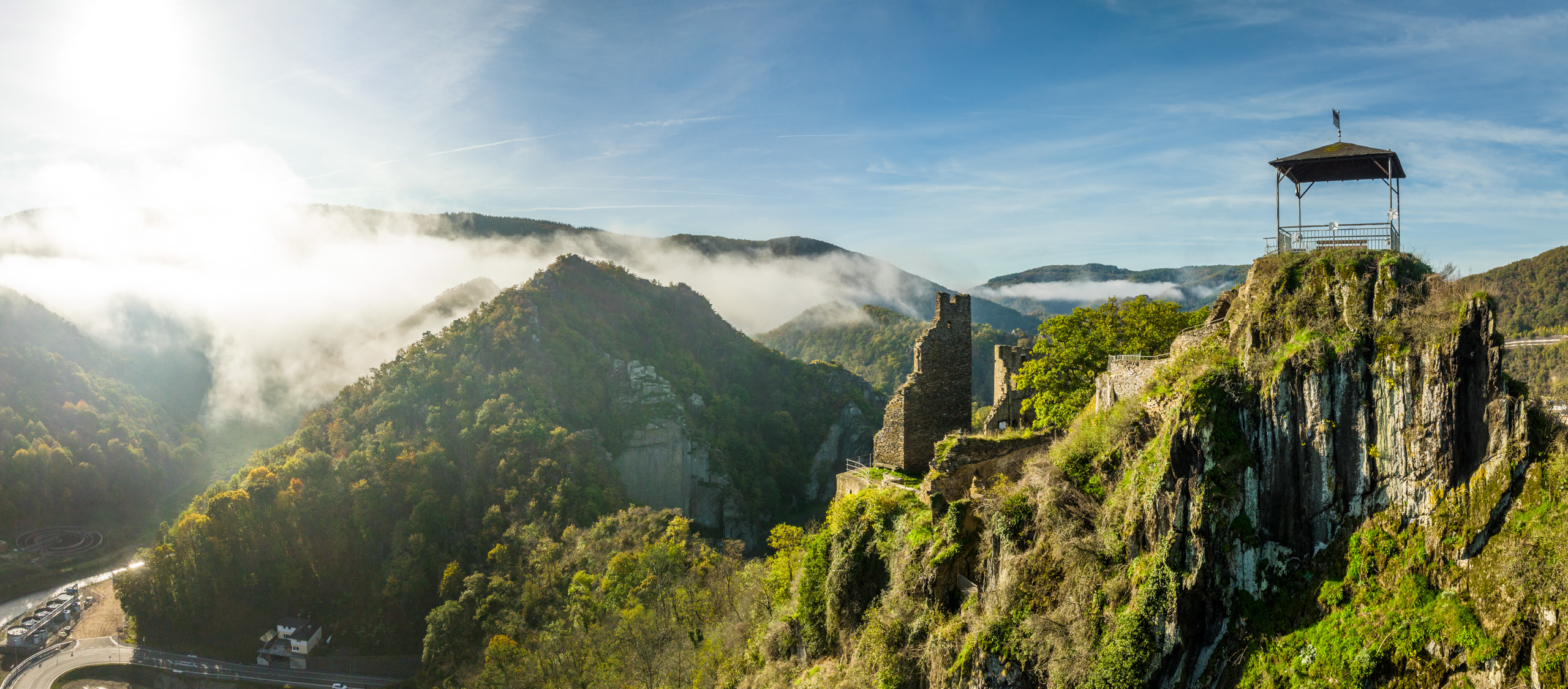
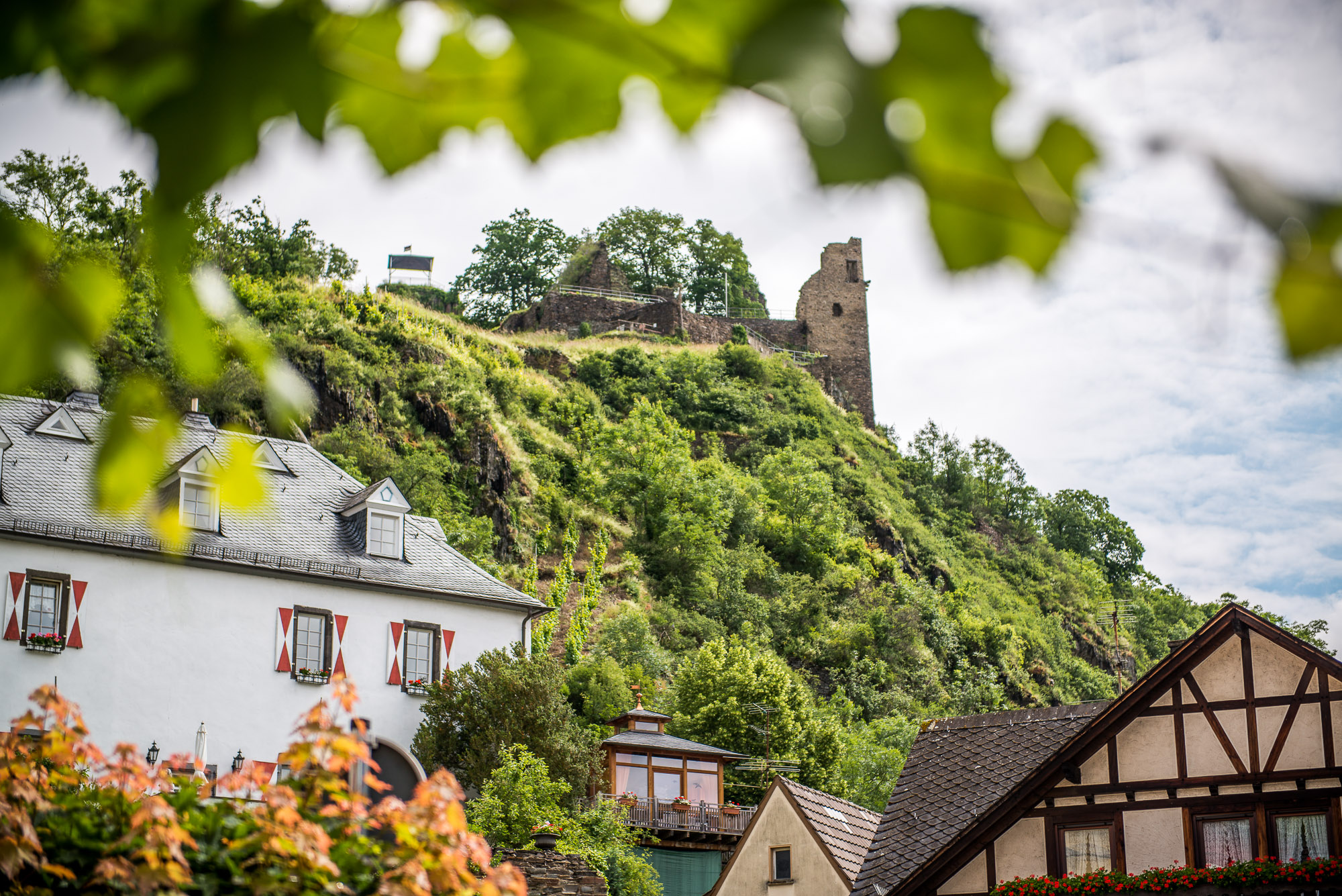
On the way, you can also plan to visit the ruins of Are Castle.
After around 24 kilometres, the starting point of the hike is reached at the railway station in Altenahr.
Altenahr - Weisserath-Kalenborn Nature Reserve
.The hike starts at the Altenahr train station. Across the Ahrbrücke on the right side, you reach the parish church in Altenahr. To the left of the church, Weinbergstrasse leads to the Altenahr vineyards. Continue along the path, passing the fire brigade exchange site on the left, and the bridge leads over the town bypass.
At the next fork, change to trail no. 10. Signs lead past Rangshof to the Weisserath wildlife reserve. During the walk through the reserve, with a bit of luck, you can observe wild animals of the Eifel.
After about 2.5 km, we leave the reserve and arrive at the village of Kalenborn.
The path leads through the village to road L492, which we follow briefly, then cross B257 at the "Kalenborner Höhe".
The path continues straight past a residential house. From here, there is a wonderful view of Bonn and Siebengebirge.
>Kalenborn-Dernau
We gently descend following the path through sunny fields and short forest sections for about 3 kilometers.
With a view of the village Esch, a narrow path leads right to the pedestrian parking area at the "Josef Marner Ruh". The rest area is signposted from the path.
The rest area is reached after only 30 meters. From here, the first view of the vineyards around Dernau and Rech opens up.
The rest area offers a view of the vineyards around Dernau and Rech.
From the rest area, stairs lead down to an agricultural path heading to the vineyards. Follow the vineyard path to the right, and you reach the "Schönste Weinsicht" above Dernau directly on K 35. The view from this spot of the village and surrounding vineyards is superb. This is highlighted by the fact that in 2016 the view was awarded the title "Schönste Weinsicht" ("Most Beautiful Wine View") on the Ahr.
.
Dernau-Rech
>We briefly follow road K35 downhill. Before a left turn, on the right side of the road is a Jewish cemetery.
After the left turn, we turn right onto the Rotweinwanderweg (Red Wine Trail) towards Altenahr. After about 200 meters on the Rotweinwanderweg, the path forks by a roadside chapel. Here we leave the Rotweinwanderweg and at the same height turn onto a farm road towards Rech.
Magnificent views of the valley, vineyards, and Saffenburg near Mayschoß accompany the approximately 3-kilometer route, which first leads along the hill above Rech and then downhill again back to the Red Wine Trail.
Rech-Mayschoß on the Red Wine Trail
.Returning to the Red Wine Trail, we follow the signs to the right towards Mayschoß. The Red Wine Trail runs along one of its most beautiful sections around Mayschoß. The views of the valley, Saffenburg, and surrounding villages are stunning!
Quick climb to Ümerich
.In Mayschoß, we leave the Red Wine hiking trail and descend into the village. Passing the campground, the trail continues uphill to the right and back to the vineyards. From the "Laacher Berg" vineyard, the valley once again presents itself from its most beautiful side. At the next fork, follow the signs to the right to "Ümerich". The steep climb of about 1 kilometer is rewarded with new wonderful views. On the way to Ümerich is a short detour left to "Mohrenkopf". There is a signpost along the way. After reaching the hilltop, turn right at the fork and take the detour to the "Ümerich" viewpoint. A short trail through rocky sections requires surefootedness.
Return to Altenahr
.The remaining part of the route leads back to the Red Wine Trail towards Altenahr.
At the "Altenahrer Eck" vineyard, also awarded "Schönster Weinsicht" by the German Wine Institute, the descent to Altenahr begins.
Along the way, a visit to the ruins of Are Castle can also be planned.
After about 24 kilometers, the starting point of the hike is at the Altenahr train station.

- ZG Vielseitig Aktive (L)
- ZG Aktive Naturgenießer (L)
- ZG Kultur- und Landschaftsliebhaber (L)
- ZG Nur Wanderer (L)
- ZG Städte-Genießer (L)
- Round trip
- Hiking trail
- Geological highlights
- Refreshment stop
- promising
- Hiking

source
Verbandsgemeinde Altenahr
·
Author:
Ulla Dismon
















