 EN
EN


Wanderweg
Altenahr summit trail 3 summits-1 path
3 summit-1 trail
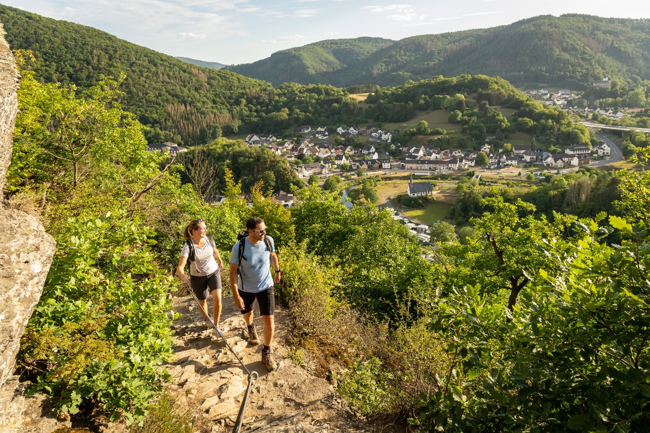
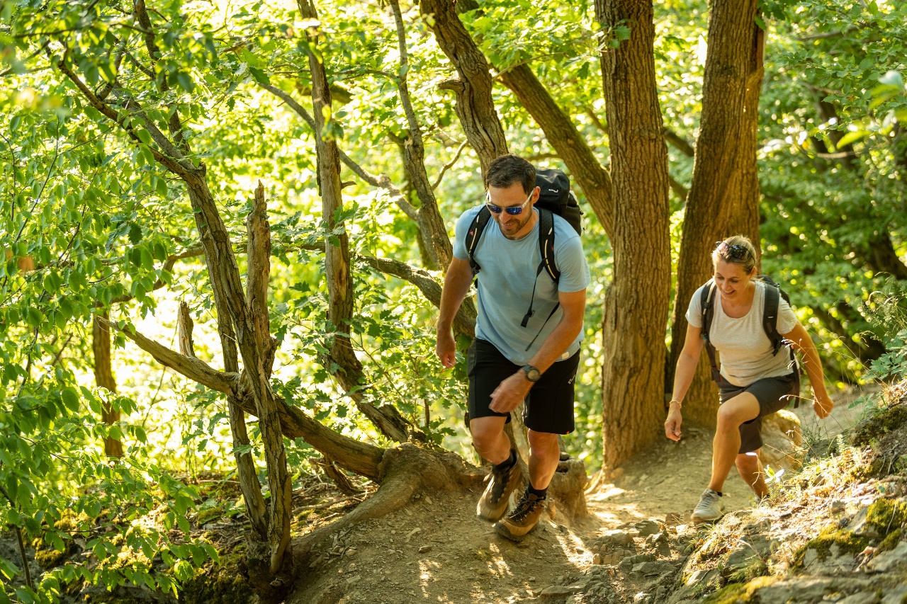
The Altenahr summit trail above Altenahr shows the scenic diversity of the Ahr Valley and Eifel on this 14-kilometre circular trail. From the spectacular rugged rock formations of the Mittelahr, to densely overgrown forest stages and steppe-like juniper groves towards the Kesselinger Valley
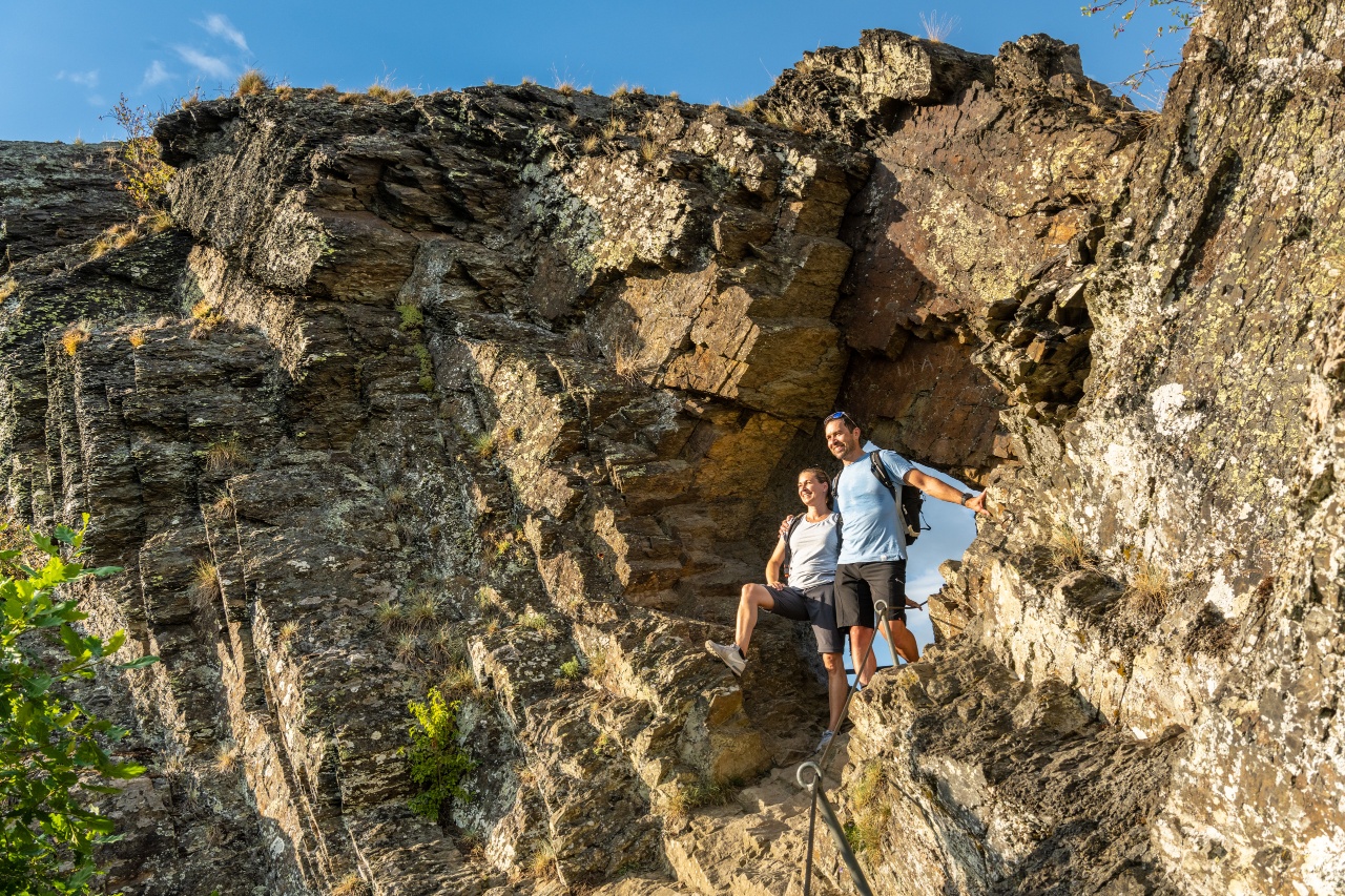
The Teufelsloch is one of the top sights in Altenahr. As spectacular as the Devil's Hole characterises the landscape, the many mystical stories of its origins are just as spectacular. The route continues following the signposts towards Altenburg. There the ascent begins along rocky paths and narrow forest trails to the highest point of the tour over the Schrock to the Steinerberg.
3 summits-1 path
The Altenahr summit trail above Altenahr shows the landscape diversity of the Ahr valley and Eifel on a total 14 km circular route. From spectacular rugged rock formations of the Mittelahr, through densely wooded forest stages, to steppe-like juniper heaths towards the Kesselinger valley.
The Devil’s Hole is one of the top sights in Altenahr. Just as spectacular as the Devil’s Hole shapes the landscape, so spectacular are the many mystical origin stories. Continue following the signs towards Altenburg. There, the ascent begins over rocky paths and narrow forest trails to the highest point of the tour over the Schrock to Steinerberg.
Der Gipfelwanderweg in Altenahr – Ausdauer gefragt, spektakuläre Aussichten garantiert!
Start/Ziel: Kirche Altenahr
Wegbeschreibung: Die Tour startet an der Römisch-katholischen Pfarrkirche Mariä Verkündigung vor der Friedenseiche, Pützgasse 2 in Altenahr. Mit der Burg Are im Rücken verläuft der Weg entlang der Bundesstraße 267, vorbei am Bahnhof, in Richtung der ehemaligen Seilbahnstation zum Friedhof, um von dort zur Bundesstraße 267 zurückzukehren. Nach der Querung der Bahntrasse führt ein schmaler Pfad links der Bundesstraße 267 den Berg hinauf. Begleitet von in die Bäume geschnitzten und gemalten Waldgeistern erreicht man eine Wegkreuzung. Hier biegt man nach links ab und folgt dem Weg ca. 300 m geradeaus, bevor man wieder nach links auf einen kurzen Felsenweg (50 m) zum ersten Gipfelhighlight, dem Schwarzen Kreuz, abbiegt.
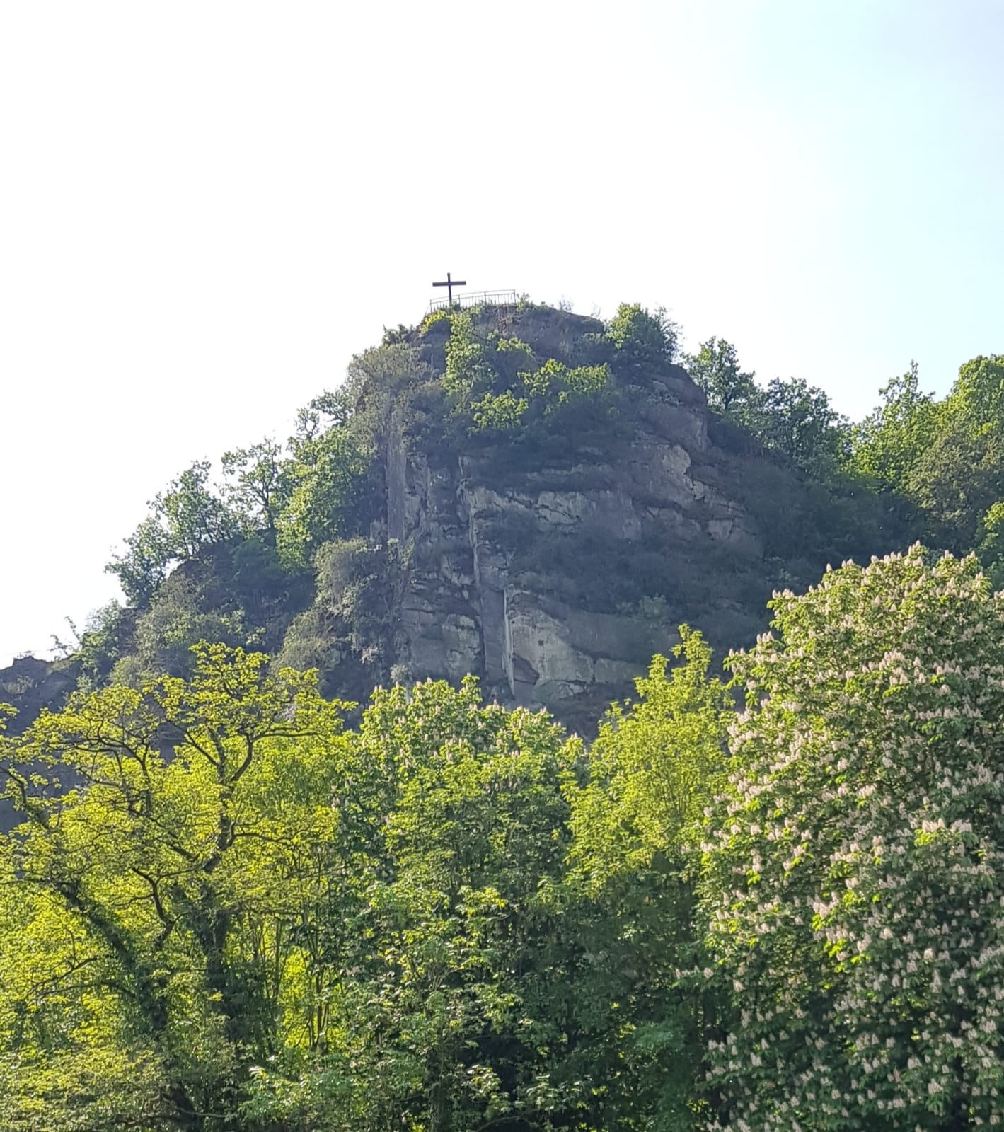
Das etwa vier Meter hohe hölzerne Schwarze Kreuz steht auf einer Anhöhe, 210 Meter über dem Meeresspiegel, über Altenahr. Es befindet sich nur knapp einen Kilometer Luftlinie entfernt von seinem mythenumwobenen Pendant, dem Weißen Kreuz am Reimerzhovener Kirchweg, auf dem beliebten Rotweinwanderweg im Ahrtal. Laut lokaler Überlieferung wurde das ursprüngliche Kreuz bereits 1859 als Dank für die Rettung eines Kindes vor dem Ertrinkungstod in der Ahr errichtet. Von hier oben bietet sich ein herrlicher Ausblick über das Tal, den Ort Altenahr und die denkmalgeschützte Burg Are.
Vom Schwarzen Kreuz geht es die 300 m wieder zurück zur Wegkreuzung, und nun führt der Weg Richtung Süden, teilweise über Feststufen, steil den Bergrücken hinauf. Auf der rechten Seite ergeben sich erste großartige Aussichten in Richtung des Ortsteils Altenburg mit der St. Maternus-Kapelle. Über einen Felsenweg (teilweise mit Stufen) erreicht man das nächste Gipfelhighlight: das Teufelsloch, ein markantes Felsenloch. So beeindruckend das Teufelsloch die Landschaft prägt, so spektakulär ist auch die Legende um seine Entstehung. Einer Sage nach entstand es, als der Teufel seine Großmutter in die Hölle schleuderte. Von hier oben bietet sich ein atemberaubender Blick auf die Burg Are, die Ahrschleife mit dem Langfigtal und die gegenüberliegende Engelsley.
Vom Teufelsloch führt ein kurzer Rückweg auf den Felsenweg, bevor man nach links Richtung Süden einem schmalen Pfad folgt, der auf einer Kreuzung in einen breiteren Forstweg mündet. Der Forstweg steigt leicht den Berg hinauf, bis eine rote Bank in einer Spitzkehre zu einer kurzen Pause einlädt. Nach ca. 200 m geht es links auf einen schmalen Pfad, der steil den Berg hinauf führt. Über Felsen und Wurzeln erreicht man das nächste Gipfelhighlight, den Schrock. Eine kleine Böschung muss überwunden werden, bevor man den Aussichtspunkt Schrock (400 m) erreicht, auf dem eine kleine Hütte steht, die auch bei schlechtem Wetter Schutz bietet. Von hier hat man einen weiten Blick über das Ahrtal mit seinen vielen engen Flussschleifen. Richtung Norden lassen sich die Erhebungen des Siebengebirges hinter dem Rhein erkennen. Bei sehr klarer Luft kann man sogar in etwa 50 km Entfernung den Kölner Dom sehen.
Vom Schrock führt der Weg weiter Richtung Süden den Berg steil hinauf. Auf einem Forstweg angekommen, führt der Weg nach links mit wenig Höhenunterschied etwa 1 km durch den Wald, sodass sich die Beine erholen können. Das letzte Stück des Weges wird noch einmal schmaler und endet am Steinerberghaus, einem der höchsten Gipfel der Mittelahr auf 531 m. Von hier ergibt sich ein herrlicher Panoramablick auf die Hohe Acht, den Aremberg, den Rheinbacher Stadtwald und Grafschaft. Die bewirtschaftete Hütte lädt zu einer längeren Rast ein.
Vom Gipfel führt ein schmaler Pfad den Berg hinunter Richtung Norden und quert eine Asphaltstraße. An einem Wegkreuz geht es nach links über einen breiten Forstweg, vorbei an Wäldern und einer größeren Wiese. An der nächsten Kreuzung biegt der Weg erst nach links ab, bevor es kurz danach nach rechts über einen schmalen und felsigen Pfad weitergeht. Rechts vom Weg fällt das Gelände spektakulär nach unten ab, bis man das nächste Gipfelhighlight, den Hornberg (395 m), erreicht. Von hier bietet sich die beste Aussicht über den Ortsteil Altenburg.
Ab hier geht es steil über einen schmalen Pfad in Serpentinen den Berg hinunter. An der ersten Wegkreuzung gelangt man nach links auf einen breiteren Weg weiter Richtung Norden, der am Heiligenhäuschen vorbeiführt. 50 m hinter dem Heiligenhäuschen geht es wieder nach links auf einen schmaleren Weg. Hier ergibt sich der Blick Richtung Kreuzberg mit seiner gut erhaltenen Burg. Seit 1820 ist die Burg Wohnsitz der Familie von Boeselager und damit die einzige bewohnte Burg im Ahrtal. Der Weg führt in steilen Serpentinen hinunter, quert die Landstraße L76 und die Bahntrasse und führt durch den Ort Kreuzberg, wobei die Burg vollständig umrundet wird. Nach der Überquerung des Saarbaches geht es in das Vischelbachtal. Der Weg biegt nun auf einen schmaleren Pfad ab und führt hinauf zur Statue des barmherzigen Jesu aus Buntsandstein. Von hier bietet sich die letzte große Aussicht über die Ortsteile Altenahr, Altenburg und Kreuzberg. Der Weg führt dann hinab nach Altenburg und folgt der Bundesstraße zurück zur Kirche in Altenahr.
The summit hiking trail in Altenahr – endurance required, spectacular views guaranteed!
Start/Finish: Church Altenahr
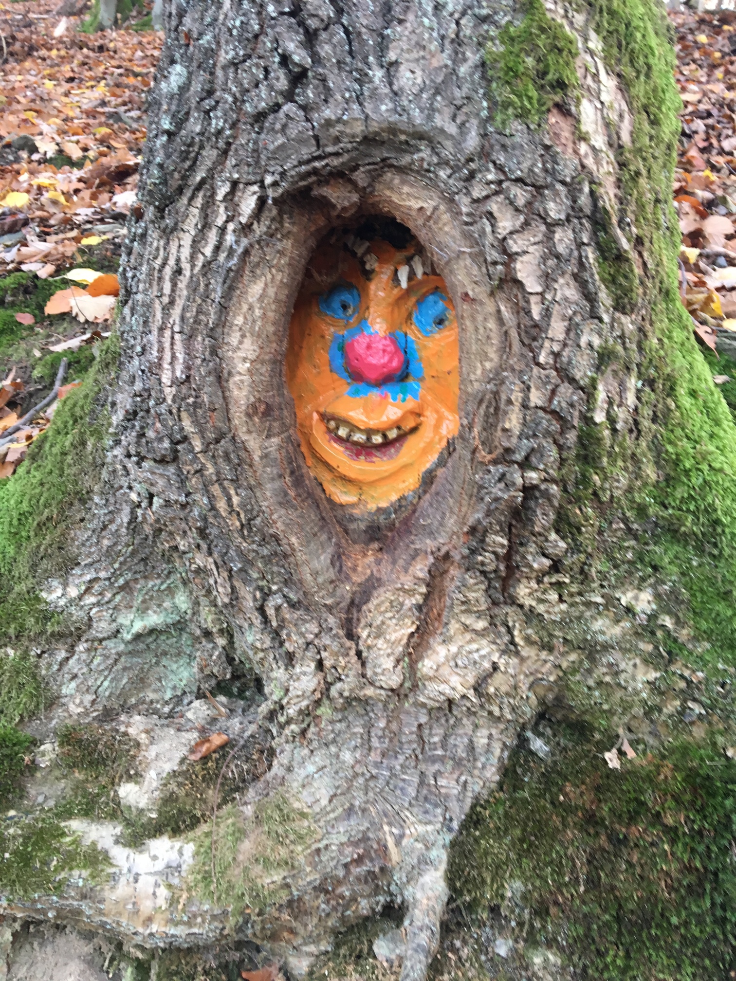
Route description: The route starts at the Roman Catholic parish church Mariä Verkündigung in front of the Friedenseiche, Pützgasse 2 in Altenahr. With Burg Are at your back, the path runs along the federal road 267, passing the train station, towards the former cable car station to the cemetery, from where it returns to the federal road 267. After crossing the railway line, a narrow path to the left of federal road 267 leads up the mountain. Accompanied by forest spirits carved and painted into the trees, you reach a crossroads. Here you turn left and follow the path straight ahead for about 300 m before turning left again onto a short rock path (50 m) to the first summit highlight, the Black Cross.
The approximately four-meter-high wooden Black Cross stands on a hill, 210 meters above sea level, above Altenahr. It is located less than one kilometer in a straight line from its myth-shrouded counterpart, the White Cross on the Reimerzhoven Kirchweg, on the popular Red Wine Hiking Trail in the Ahr valley. According to local tradition, the original cross was erected as early as 1859 as thanks for saving a child from drowning in the Ahr. From up here there is a magnificent view over the valley, the town of Altenahr, and the listed Burg Are.
From the Black Cross, you go back 300 m to the crossroads, and now the path leads south, partly over fixed steps, steeply up the ridge. On the right side, great views open towards the Altenburg district with the St. Maternus Chapel. Over a rock path (partly with steps), you reach the next summit highlight: the Devil’s Hole, a striking rock hole. Just as impressive as the Devil’s Hole shapes the landscape, so spectacular is the legend of its origin. According to legend, it was created when the devil threw his grandmother into hell. From up here you have a breathtaking view of Burg Are, the Ahr loop with the Langfig valley, and the opposite Engelsley.
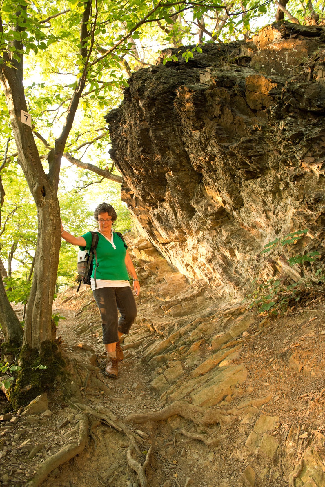
From the Devil’s Hole, a short return leads back to the rock path, before you turn left heading south onto a narrow path that leads to a junction with a wider forest path. The forest path gently climbs the mountain until a red bench in a hairpin invites you for a short break. After about 200 m, turn left onto a narrow path that climbs steeply up the mountain. Over rocks and roots you reach the next summit highlight, the Schrock. A small slope must be overcome before you reach the Schrock viewpoint (400 m), where a small hut stands that also offers shelter in bad weather. From here you have a wide view over the Ahr valley with its many tight river loops. To the north, the hills of the Siebengebirge behind the Rhine can be seen. On very clear days, you can even see Cologne Cathedral about 50 km away.
From the Schrock, the path continues steeply uphill towards the south. Reaching a forest path, the route leads left with little altitude change for about 1 km through the forest, allowing your legs to recover. The last section of the path becomes narrower again and ends at the Steinerberghaus, one of the highest summits of the Mittelahr at 531 m. From here there is a wonderful panoramic view of the Hohe Acht, the Aremberg, the Rheinbach city forest, and the Grafschaft. The managed hut invites you to stay longer.
From the summit, a narrow path leads down the mountain to the north and crosses an asphalt road. At a crossroads, turn left over a wide forest path, passing forests and a large meadow. At the next junction, the path first turns left before shortly after turning right again over a narrow and rocky path. To the right of the path, the terrain drops spectacularly down until you reach the next summit highlight, the Hornberg (395 m). From here you get the best view over the Altenburg district.
From here, descend steeply in switchbacks over a narrow path. At the first crossroads, turn left onto a wider path continuing north, passing the holy shrine. 50 m behind the shrine, turn left again onto a narrower path. Here you get the view towards Kreuzberg and its well-preserved castle. Since 1820, the castle has been the residence of the von Boeselager family and is thus the only inhabited castle in the Ahr valley. The path leads down steep switchbacks, crosses the L76 country road and the railway line, and leads through the town of Kreuzberg, fully circling the castle. After crossing the Saarbach, you enter the Vischelbachtal. The path now turns onto a narrower path and leads up to the statue of the merciful Jesus made of colored sandstone. From here you have the last great view over the districts Altenahr, Altenburg, and Kreuzberg. The path then descends to Altenburg and follows the federal road back to the church in Altenahr.

- ZG Vielseitig Aktive (L)
- ZG Aktive Naturgenießer (L)
- ZG Kultur- und Landschaftsliebhaber (L)
- ZG Nur Wanderer (L)
- ZG Städte-Genießer (L)
- Round trip
- Hiking trail
- Botanical highlights
- Geological highlights
- Refreshment stop
- promising
- Hiking
- Back for you

source
Verbandsgemeinde Altenahr
·
Author:
Eva Flügge















Contact us
Ahrtal-Tourismus Bad Neuenahr-Ahrweiler e.V.
Oberstr. 8
53474 Bad Neuenahr-Ahrweiler
Tel.: 02641 / 9171-0
info@ahrtal.de

