 EN
EN




Wanderweg
Sahrbachtal Hiking Paradise | from/to Altenahr
Experience, discover, awaken the senses
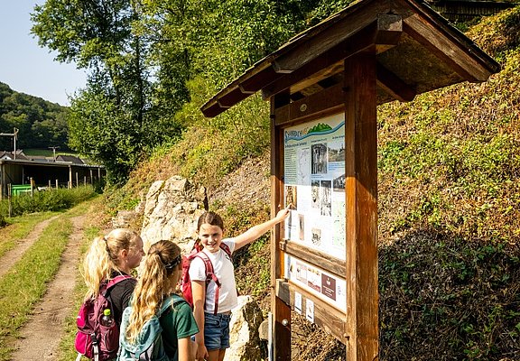
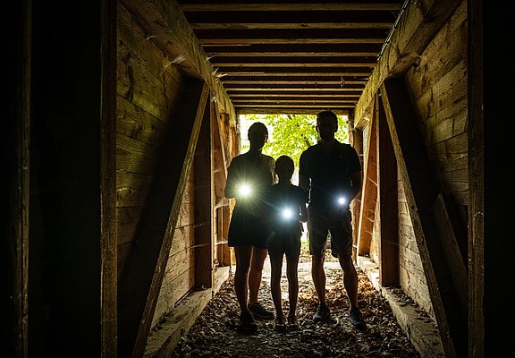
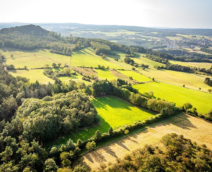
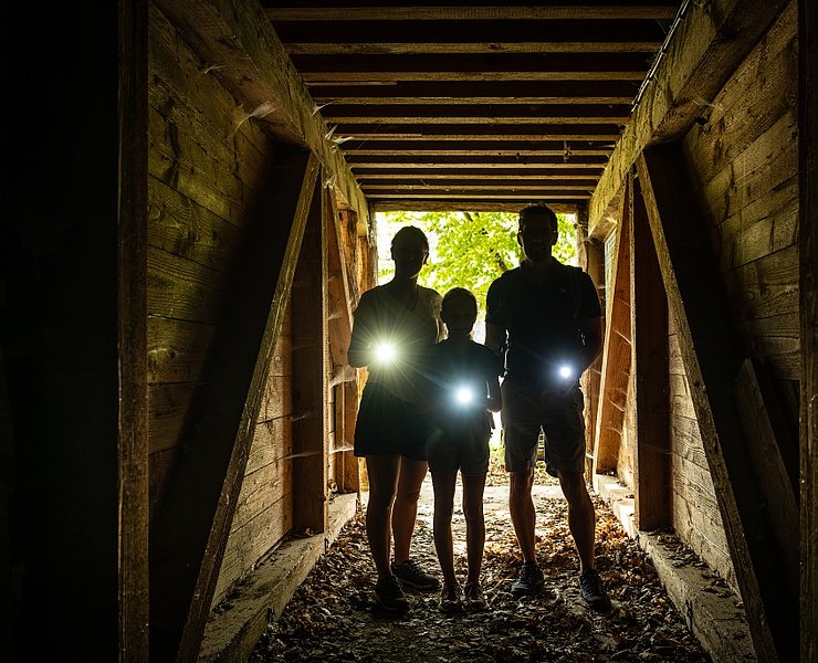
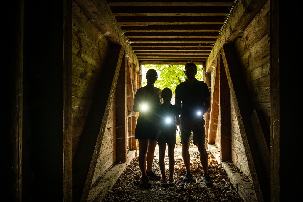
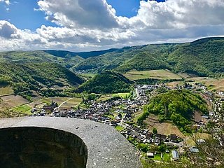
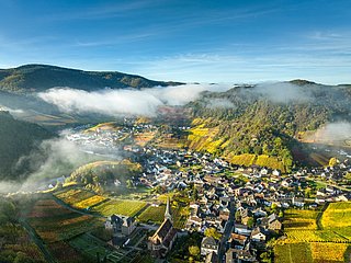
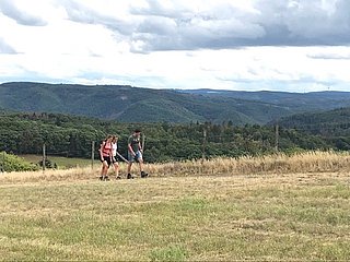
The Sahrbachtal hiking paradise covers a network of paths totaling around 80 km. The Sahrbachweg, with a length of 8.6 km, forms the main axis. Besides the beautiful landscape, the valley holds historical and cultural treasures pointed out along the trail: Celts and Romans, lords and servants, farmers, miners, and charcoal burners have shaped the landscape. Highlights along the Sahrbachweg include the protected wet meadow, the charcoal burner trail, the walkable Old Tunnel (bring a flashlight), and the Gretelstollen.
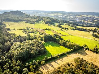
On the Ahr heights, the Gottfried-Kinkel-Weg and the Hasenweg near Krälingen offer varied panoramic views and unexpected insights into nature.
Experience, discover, awaken the senses
The Hiking Paradise Sahrbach Valley comprises a network of around 80 kilometres of trails. The Sahrbachweg with a length of 8.6 km forms the main axis. In addition to the magnificent landscape, the valley harbours historical and cultural treasures that are signposted along the way: Celts and Romans, lords and servants, farmers, miners and charcoal burners have all left their mark on the landscape. Highlights along the Sahrbach Trail include the protected wet meadow, the Köhler-Steig, the accessible Alte Stollen (bring a torch) and the Gretelstollen.
En route on the Ahr heights, the Gottfried-Kinkel-Weg and the Hasenweg near Krälingen offer varied views and unexpected insights into nature.
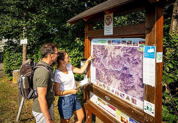
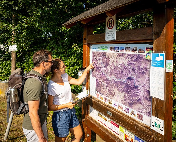
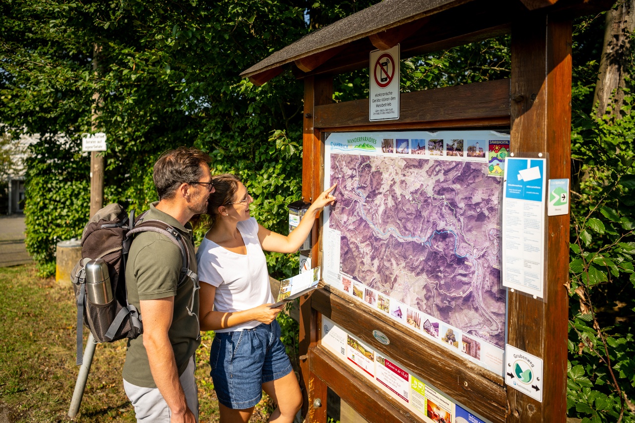
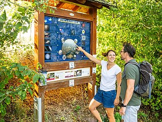
From the railway station in Altenahr, start in the direction of Kreuzberg, initially along the former railway line. After around 1 kilometre along the Ahr, you will reach Kreuzberg. With a view of Kreuzberg Castle, turn left 50 metres along "Münstereifeler Straße" and then turn right into Burgstraße. Burgstraße joins the road "Am Sahrbach" and the information board for Wanderparadies Sahrbachtal. This is where the Sahrbachweg begins. Follow the Sahrbachweg for 8.6 km to Kirchsahr. The path initially leads along a flat section past the babbling Sahrbach stream to a hill with a view of "Camping Am Sahrbach". Shortly downhill, you reach the country road in the Sahrbach valley. Directly opposite, a small bridge leads back to the Sahrbachweg. Following the Sahrbachweg, you reach the small village of Burgsahr. Between the villages of Burgsahr and Binzenbach, the Sahrbachweg leads past former mining tunnels.
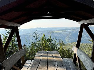
In Kirchsahr, the Römersteig trail leads up to Hochthürmer Berg (500m). From the Ahr heights, you can enjoy unimaginable views far beyond the Ahrgebirge mountains. The Römersteig leads into the Gottfried Kinkel Trail. Follow this to the Hasenweg junction, at the K31 turn left.
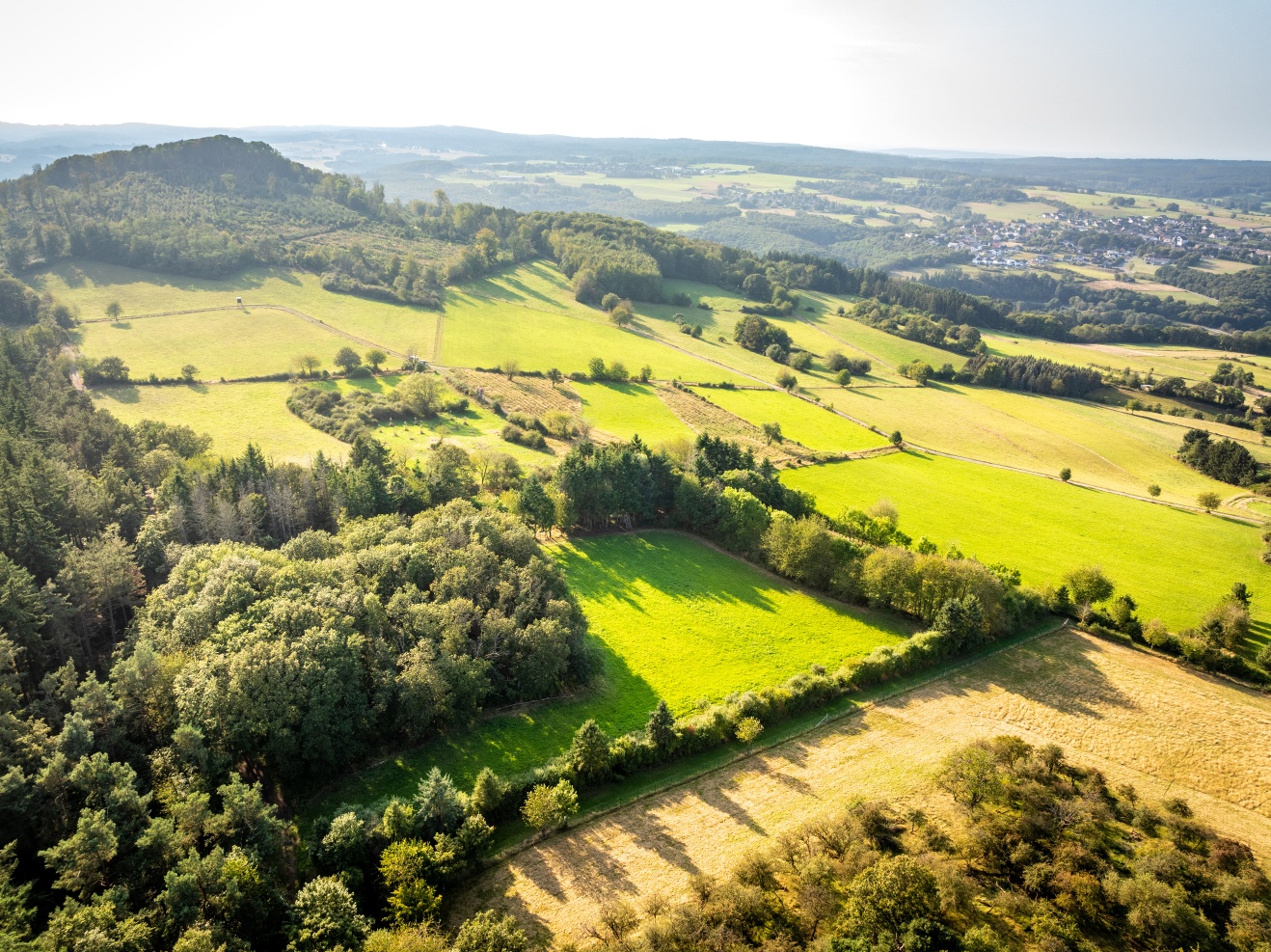
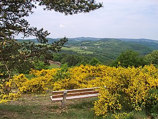
Just before the small hilltop village of Krälingen, the Hasenweg leads around the mountain of the same name. The Hasenberg (471.6 m) offers magnificent views far across the Ahr heights to the Siebengebirge, the Nürburg and the Hohe Acht. Once you arrive in Krälingen, follow the signs for Hasenweg. At the K 31, the Hasenweg meets the Gottfried-Kinkel-Weg again. Following the Gottfried-Kinkel-Weg, the route leads briefly along the K 31 to the Schildkopf. The Vischeltal valley is reached via a downhill path. After crossing the stream, follow the path to the right towards Kreuzberg. At the entrance to the village, path no. 4 leads off to the left, past meadows and later over rocky sections back to the Ahr cycle path and the starting point of the hike in Altenahr.
From the Altenahr train station, start towards Kreuzberg initially via the former railway track. Along the Ahr, after about 1 km, Kreuzberg is reached. With a view of Kreuzberg Castle, turn left 50 meters onto "Münstereifeler Straße" then turn right into Burgstraße. Burgstraße leads into the street "Am Sahrbach" and to the information board about the Sahrbachtal hiking paradise. Here begins the Sahrbachweg. Follow the Sahrbachweg for 8.6 km to Kirchsahr. The path first leads flat past the babbling Sahrbach to a hill with a view of "Camping Am Sahrbach." Shortly downhill, the country road in the Sahrbachtal is reached. Directly opposite, a small bridge leads back to the Sahrbachweg. Following the Sahrbachweg, the small village Burgsahr is reached. Between the villages of Burgsahr and Binzenbach, the Sahrbachweg passes former mining tunnels.
In Kirchsahr, the Römersteig leads up to the Hochthürmer Berg (500m). From the Ahr heights, there are unexpected panoramic views far beyond the Ahr mountains. The Römersteig leads into the Gottfried-Kinkel-Weg. Follow it to the junction with Hasenweg at the K31, then turn left.
Just before the small hill village of Krälingen, the Hasenweg circles the mountain of the same name. From the Hasenberg (471.6 m), there are magnificent views far across the Ahr heights to the Siebengebirge, Nürburg, and the Hohe Acht. Upon arriving at Krälingen, follow the Hasenweg signs. At K31 the Hasenweg meets the Gottfried-Kinkel-Weg again. Following the Gottfried-Kinkel-Weg, the route briefly runs along K31 to Schildkopf. A path downhill leads to the Vischeltal. After crossing the creek, take the path to the right towards Kreuzberg. At the village entrance, path no. 4 turns left, past meadows and later over rocky sections back to the Ahr cycle path and the starting point of the hike in Altenahr.



- ZG Vielseitig Aktive (L)
- ZG Aktive Naturgenießer (L)
- ZG Kultur- und Landschaftsliebhaber (L)
- ZG Nur Wanderer (L)
- ZG Städte-Genießer (L)
- Round trip
- Hiking trail
- Family friendly
- Insider tip
- Culture highlight
- Refreshment stop
- promising
- Hiking
- Back for you

source
Verbandsgemeinde Altenahr
·
Author:
Ulla Dismon



Contact us
Ahrtal-Tourismus Bad Neuenahr-Ahrweiler e.V.
Oberstr. 8
53474 Bad Neuenahr-Ahrweiler
Tel.: 02641 / 9171-0
info@ahrtal.de

