EN
EN

Wanderweg
Altenahr Castle Trail, Altenahr - Place of the Three Castles
Experience history
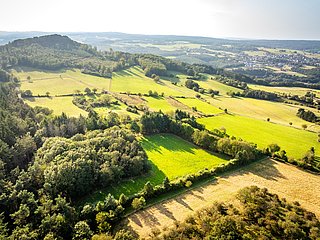
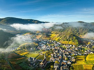
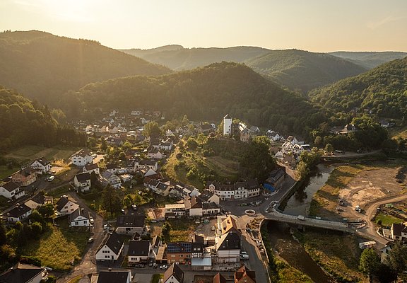
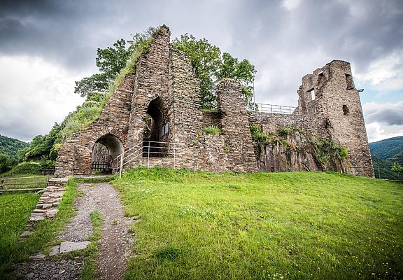
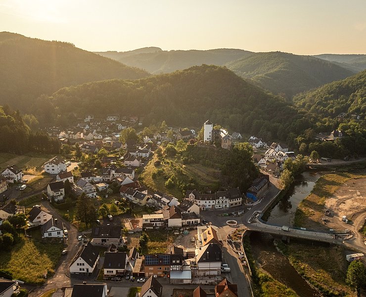
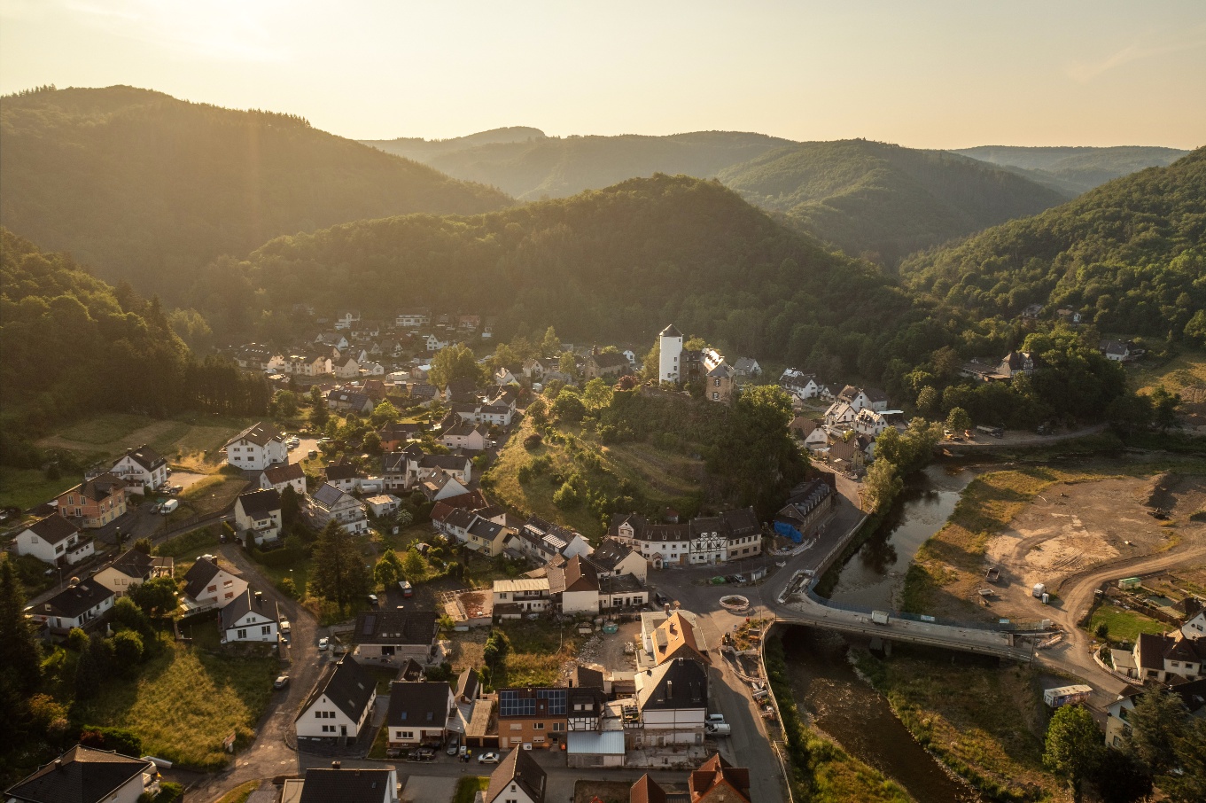
The castle trail covers about 9.5 km in length, with 320 meters of elevation gain and an estimated duration of about 3 hours. It showcases the landscape diversity of the Ahr valley and the special features of the Middle Ahr valley. Above all, it connects the three castles of Altenahr: the ruin of Burg Are, which towers high above the center of Altenahr, Burg Kreuzberg in the Kreuzberg district, and the remains of Reffinessburg in the Altenburg district.
The path is marked with a unique trail sign: a red stylized castle on a light background.
The castle trail is approx. 9.5 km long, with 320 meters of elevation gain and an estimated duration of approx. 3 hours, and shows the scenic diversity of the Ahr Valley and the special features of the Middle Ahr. Above all, it connects the three castles of Altenahr: the ruins of Are Castle, which towers high above the town center of Altenahr, Kreuzberg Castle in the Kreuzberg district and the remains of the walls of Reffinessburg Castle in the Altenburg district.
The trail is signposted with its own signpost: a red stylized castle on a light background.
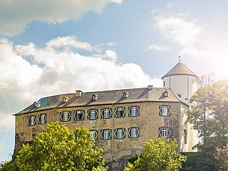
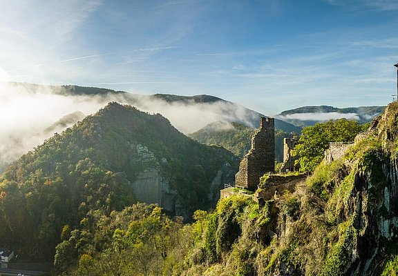
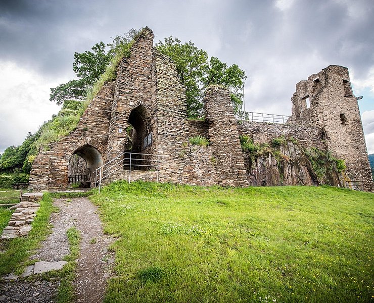
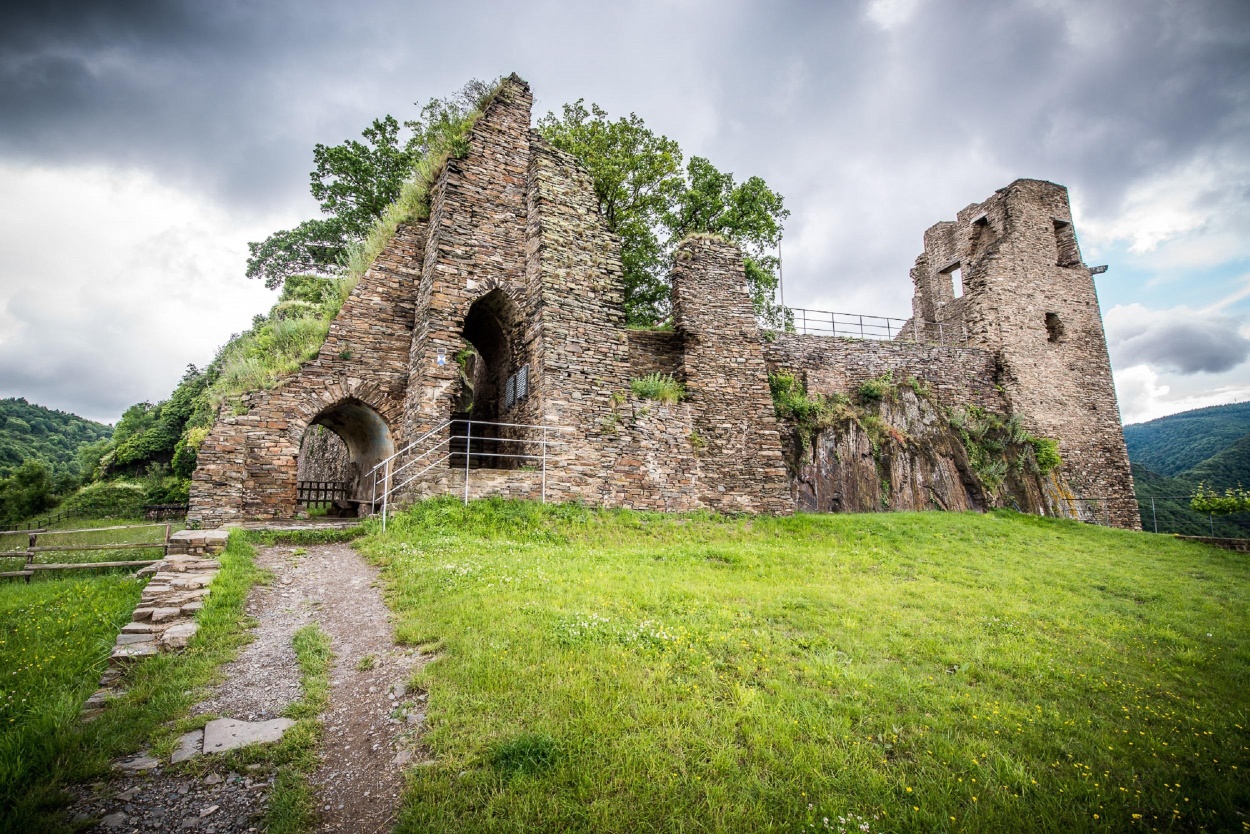
Are Castle is the listed ruin of a hilltop castle at an altitude of 240 meters above the municipality of Altenahr. It was built between 1095 and 1105 by Count Dietrich I von Are. From 1997 to 1999, the ruins were secured at great expense and placed under a preservation order. Since then, it has been open to the public again. From here, there is a magnificent view in all four directions as well as of Altenahr.
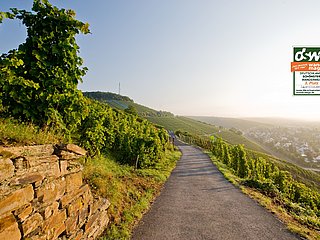
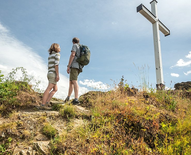
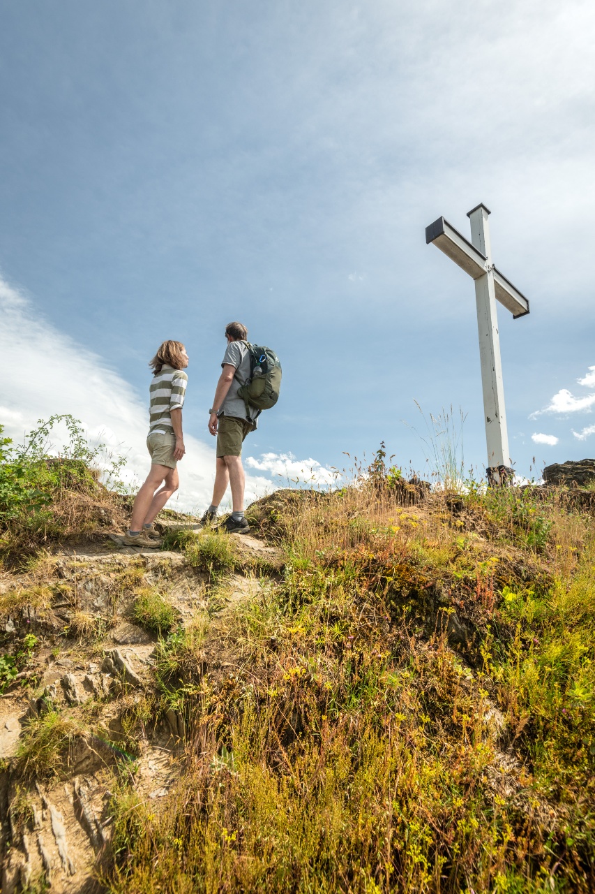
From the castle, head back to the Gymnischer Porz, but now in the other direction (north). Passing a former restaurant, you reach the White Cross, an oak cross about four meters high on a rock below the Altenahrer Eck. The background to its construction and the history of the cross are unclear, and there are several myths and legends surrounding it. The White Cross marks a popular vantage point and is a well-known hiking and excursion destination. The motto here is: enjoy. Ecka Castle once stood on the site of the former inn and was destroyed in 1249 on the orders of Archbishop Konrad von Hochstaden, as it allegedly posed a threat to the neighboring Are Castle.Next to the cross, some rocky steps lead a short way up the mountain along the vineyards and end at Altenahrer Eck. This vantage point was voted the most beautiful wine view of the Ahr by the German Wine Institute in 2012 and invites you to take a longer break. From here, you have a fantastic view over the vineyards towards Are Castle and the Ahr loop behind it in the Langfigtal valley, which you walk through later.
The wider path leads down the hill from the viewpoint and ends at the “Roßberg” road. On the other side of the road, the trail continues uphill into the street “Am Lützenbohr” to the end of a development area. Here the road turns right and crosses the B 257 federal highway over a yellow bridge. Entelnburg Castle is said to have stood at this point. The presumed castle site, to which several field names refer, is located 500 meters northwest of the center of Altenahr on the Rattenberg. The last mention of Entelnburg Castle can be found in the church register of Altenahr in 1795.
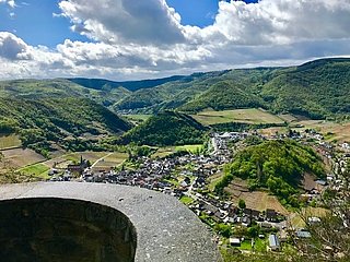
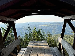
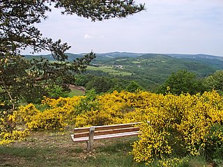
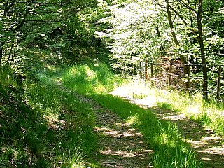
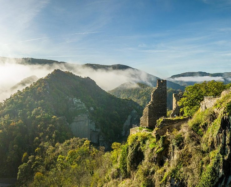
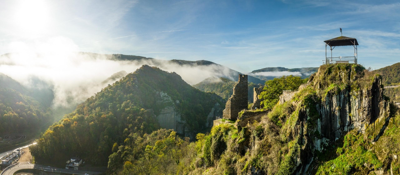
At the end of the meadows, the path turns left and leads slightly uphill through an enchanting wooded area, where rays of sunlight fall through the dense canopy of leaves. Again and again there are wonderful views of the Ahr valley. At a crossroads, the trail turns right and climbs steeply uphill. This section should only be tackled after you have enjoyed the view from a small bench. High above Altenahr, there is an impressive view over the Ahr to the village of Altenburg. In the middle of the village rises the castle hill of Altenburg, where, according to legend, the oldest ancestral castle of the Counts of Are is said to have stood. The flattened top of the rock could have supported the keep. It is also possible that this is the “Riefenesburch”, which was mentioned in an exchange of goods between Prüm Abbey and Sigebod between 948 and 970.
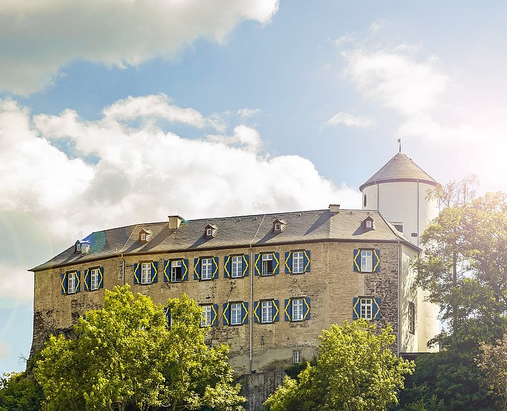
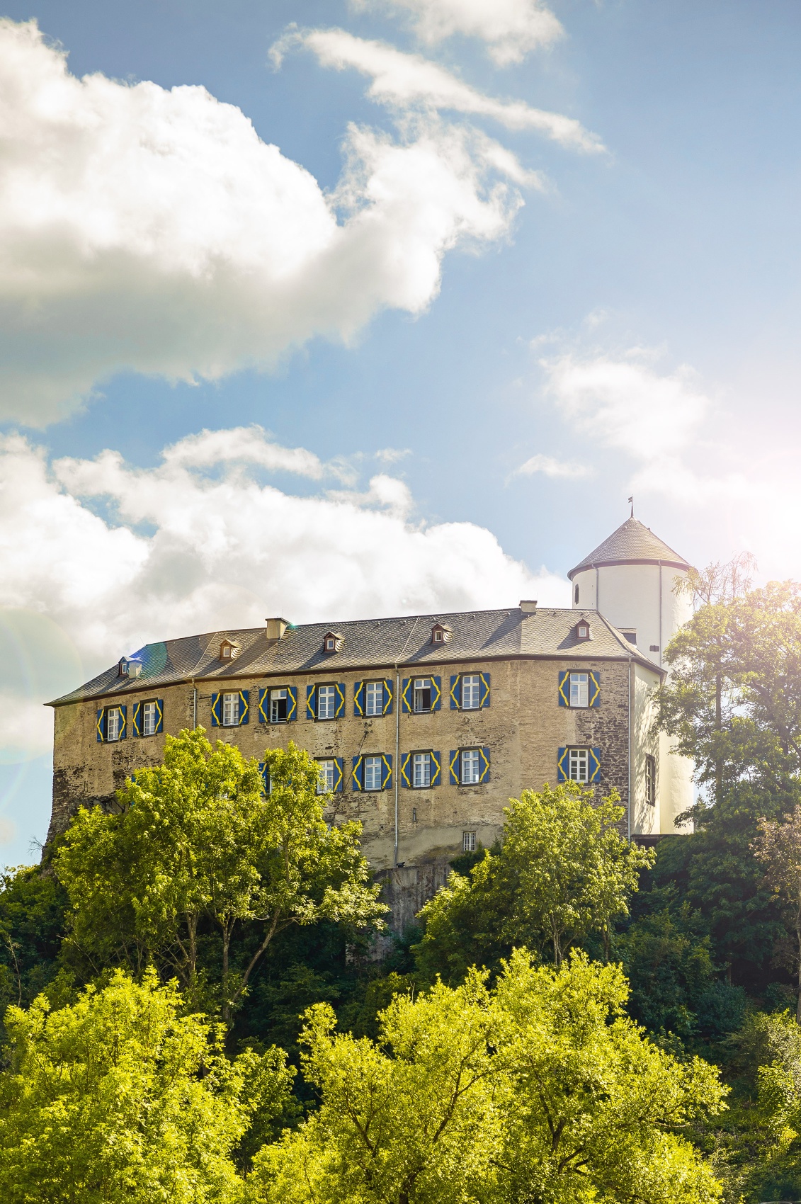
Pass the former cable car station and turn left over the 351-metre-high Ditschhardtberg in the direction of the Kreuzberg district. The path winds down the mountain until it reaches a large meadow in the Vischeltal valley. Here the path follows a small stream downhill towards the entrance to the village and the Ahr. At the “In Dangeln” road, turn right and then left at the next junction to cross the L76 country road. Kreuzberg Castle is always visible, perched on a small rocky cone above the Altenahr district of Kreuzberg. The castle is located on a triangular rocky plateau that slopes steeply down to the Ahr on one side, making it a type of hilltop castle. The castle has been the residence of the von Boeselager family since 1820 and is the only inhabited castle in the Ahr valley. Burgstraße takes you into the center of Kreuzberg and then over the Ahr bridge towards Altenburg.
After crossing the railroad tracks, which are currently being rebuilt, the route follows a narrow path up the hill via steep hairpin bends. This ends at a wider road in open terrain, which you follow uphill to the right. After about 200 meters, the path turns left back into the forest and leads downhill.
Once you arrive at the Ahrtalschule sports ground, you face one last steep climb. At the top, the path forks. Take the steps down to the Ahr, where the Langfigtal begins. The valley through which the Ahr flows, surrounded by striking mountain ranges below Altenahr, is one of the few sections of the river that is only accessible to hikers and cyclists. The Langfigtal has been a designated nature reserve since 1983 and is considered a true natural paradise. There are 475 butterfly species here, 91 of which are protected and 47 are on the Red List. 20 butterfly species have their northernmost distribution point in the Langfigtal. Ornithologists have counted 83 bird species here, including gray herons, kingfishers, black woodpeckers and dippers.
The trail leads past the youth hostel and crosses the Ahr through a ford. From there, it continues uphill along the Ahr until you finally reach Altenahr and the church.
The castle trail in Altenahr: experience history up close.
The route starts at the Roman Catholic Parish Church of the Annunciation in front of the Peace Oak, Pützgasse 2 in Altenahr. From there, it goes along Brückenstraße towards Burg Are, which towers high above the rock and is visible from here. At the intersection, turn left into Rossberg street and follow the path uphill. At house number 36, there is a 50-year-old stocking vending machine, a popular photo motif for selfies. At house number 56, the steep ascent to the castle begins via a narrow path. After about 200 meters, you reach the castle's entrance gate, called Gymnischer Porz. The path leads right through the gate and past the castle well, whose excavation was started in 2005 by a group from Altenahr. Then it continues up some steps through another gate into the main castle area.
Burg Are is a listed ruin of a hill castle at 240 meters above the municipality of Altenahr. It was built from 1095 to 1105 by Count Dietrich I of Are. From 1997 to 1999, the ruin was secured with significant financial effort and placed under monument protection. Since then, it has been accessible to the public again. From here, there is a magnificent view in all four cardinal directions and over Altenahr.
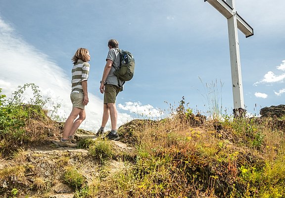
From the castle, go back to Gymnischer Porz, now in the other direction (north). Passing a former guesthouse, you reach the White Cross, an approximately four-meter-high oak wooden cross on a rock below the Altenahrer Eck. The reasons for its erection and the history of the cross are unclear, and several myths and legends surround it. The White Cross marks a popular viewpoint and is a well-known hiking and excursion destination. Here, you are invited to enjoy the view. At the site of the former guesthouse once stood Burg Ecka, which was destroyed in 1249 by order of Archbishop Konrad von Hochstaden, as it was allegedly a threat to the neighboring Burg Are.
Next to the cross, some rock steps lead a short way up the hill along the vineyards and end at Altenahrer Eck. This viewpoint was chosen in 2012 by the German Wine Institute as the most beautiful wine view of the Ahr and invites you to a longer rest. From here, you have a fantastic view of the vineyards towards Burg Are and the Ahr loop behind in the Langfigtal, which is crossed later.
The wider path leads downhill from the viewpoint and ends at the road Rossberg. On the other side of the street, it continues uphill into Am Lützenbohr street to the end of a new development area. Here the street turns right and crosses the federal road B 257 over a yellow bridge. At this point, the Entelnburg is said to have stood. The probable castle site, indicated by several field names, lies 500 meters northwest of Altenahr’s town center on the Rattenberg. The last mention of Entelnburg is found in 1795 in the Altenahr church book.
At the end of the meadows, the path turns left and leads gently uphill through an enchanting forest area where sunlight filters through the thick leafy canopy. Again and again, there are wonderful views of the Ahr valley. At an intersection, turn right steeply up the hill. This section should be attempted only after enjoying the view on a small bench. High above Altenahr, there is an impressive view over the Ahr to the Altenburg district. In the middle of the village rises the castle hill of Altenburg, where, according to legend, the oldest ancestral castle of the Counts of Are once stood. The flattened top of the rock may have carried the keep. Possibly, this is also the "Riefenesburch," mentioned in a property exchange by Prüm Abbey with Sigebod between 948 and 970.
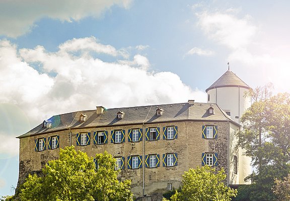
Past the former cable car station, go left over the 351-meter-high Ditschhardtberg towards the Kreuzberg district. The path leads down the hill in serpentine turns until a large meadow is reached in the Vischeltal. Here, the path follows a small stream downhill towards the town entrance and the Ahr. At In Dangeln street, turn right and at the next intersection left to cross the L76 country road. The Burg Kreuzberg is always visible, sitting on a small rock cone above the Altenahr district of Kreuzberg. The castle is located on a triangular rock plateau, which drops steeply to the Ahr on one side and thus belongs to the type of hill castles. Since 1820, the castle has been the residence of the von Boeselager family and is the only inhabited castle in the Ahr valley. Via Burgstraße, you reach the center of Kreuzberg and then cross the Ahr bridge towards Altenburg.
After crossing the railway tracks, which are currently being rebuilt, the path goes up a narrow steep serpentined path. It ends at a wider driveway in an open area, which you follow uphill to the right. After about 200 meters, the path turns left back into the forest and leads downhill.
Arriving at the sports field of the Ahrtal School, a last steep ascent awaits. At the top, the path forks. Take the steps down to the Ahr, where the Langfigtal begins. The valley, crossed by the Ahr and surrounded by distinctive ridges below Altenahr, is one of the few river sections accessible exclusively to hikers and cyclists. Since 1983, the Langfigtal has been designated a nature reserve and is considered a genuine natural paradise. Here are 475 butterfly species, of which 91 are protected and 47 are on the Red List. 20 butterfly species have their northernmost distribution point in the Langfigtal. Ornithologists have counted 83 bird species here, including grey herons, kingfishers, black woodpeckers, and dippers.
The path leads past the youth hostel and crosses the Ahr via a ford. From there, it continues uphill along the Ahr until reaching Altenahr and the church.
The Castle Trail in Altenahr: experience history up close.
POIs
Station 1: Roman Catholic Parish Church of the Annunciation: The castle trail starts at the listed Roman Catholic Parish Church of the Annunciation from the 12th century in Pützgasse. Following the signage, it goes from here over Brückenstraße towards Rossberg to Burg Are.
Station 2: Burg Are: Burg Are is the listed ruin of a hill castle at 240 meters. It was built from 1095 to 1105 by Count Dietrich I of Are. From 1997 to 1999, the ruin was secured and placed under monument protection. A great view awaits the hiker inviting them to enjoy the spectacular panorama. Now it goes back towards the White Cross.
Station 3: White Cross: The approximately four-meter-high White Cross, made of oak wood, is a former station cross on a rock, the Kirchberg, below the "most beautiful wine view" of Altenahrer Eck. From here, it is again time to enjoy. The path leads over the red wine hiking trail towards the former cable car station, then swings to Kreuzberg. Many fantastic views along the route await discovery.
Station 4: Burg Kreuzberg: Burg Kreuzberg stands on a small rock cone above the Altenahr district of Kreuzberg. The complex is located on a triangular rock plateau, which drops steeply to the Ahr on one side and thus belongs to the type of hill castles. Since 1820, the castle has been owned by the von Boeselager family, making it the only inhabited castle in the Ahr valley. From Kreuzberg, it goes briefly steeply uphill again over the Ahr to the remains of the former Reffinesburg high above Altenburg. The panoramic view falls into the Langfigtal nature reserve.
Station 5: Langfigtal: The Langfigtal, crossed by the Ahr and surrounded by distinctive ridges below Altenahr, belongs to the few

- ZG Vielseitig Aktive (L)
- ZG Aktive Naturgenießer (L)
- ZG Kultur- und Landschaftsliebhaber (L)
- ZG Nur Wanderer (L)
- ZG Städte-Genießer (L)
- Round trip
- Hiking trail
- Culture highlight
- Geological highlights
- Refreshment stop
- promising
- Hiking

source
Verbandsgemeinde Altenahr
·
Author:
Eva Flügge