 EN
EN


Wanderweg
Sinzig Heights Trail
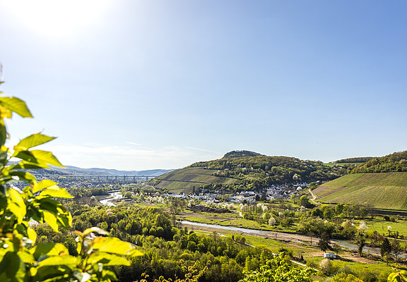
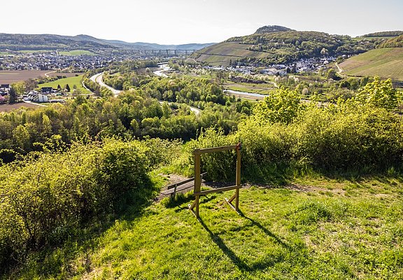
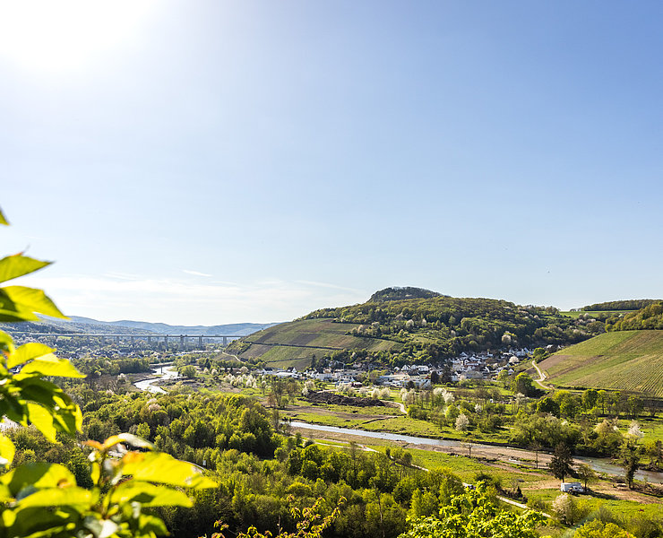
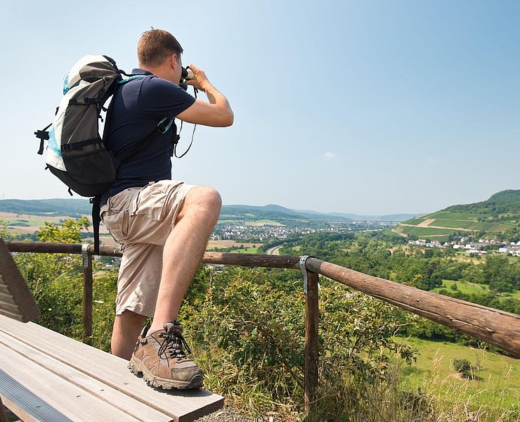
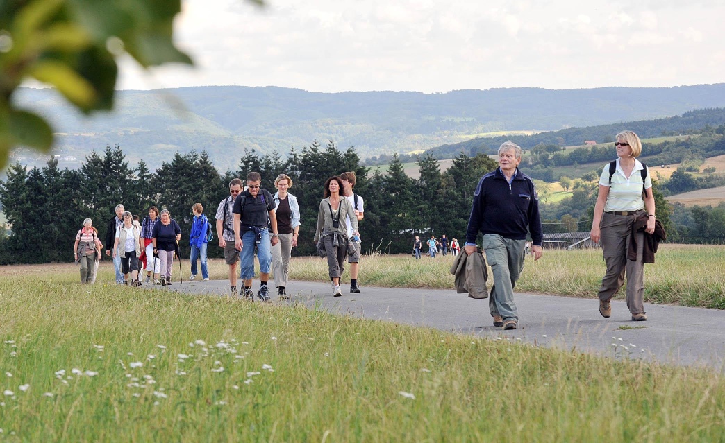
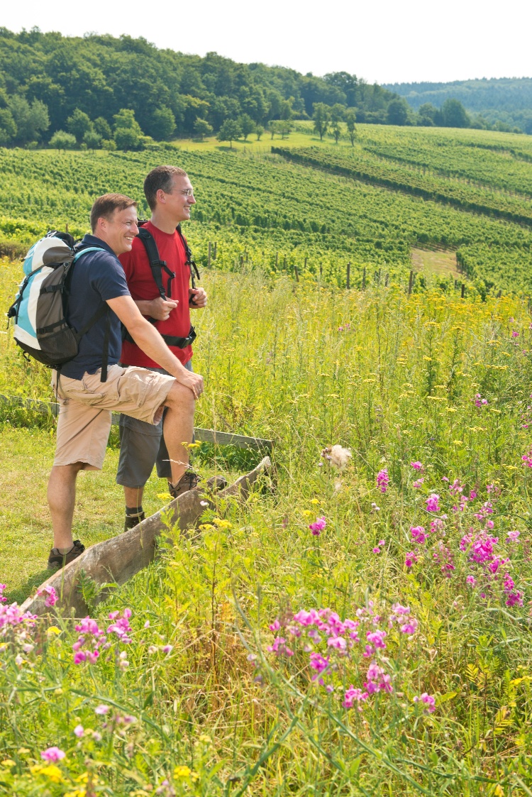
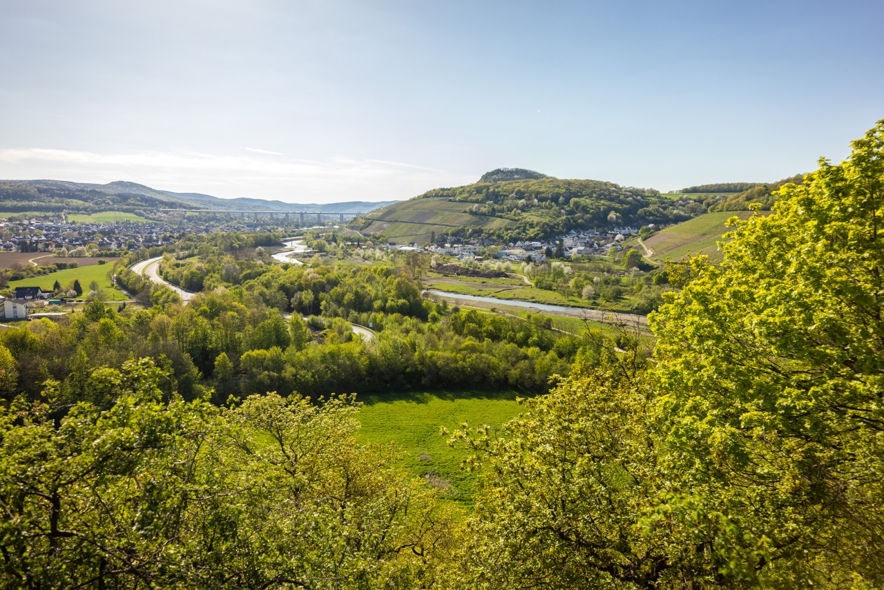
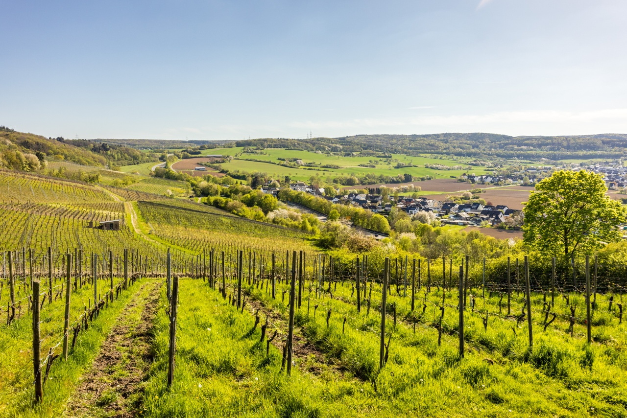
The varied route over the Sinzig Heights offers a variety of landscapes. The route leads over open terrain with impressive panoramic views but also through dense forest and along the river landscape of the Ahr.
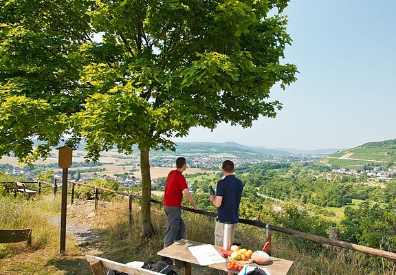
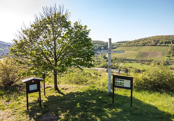
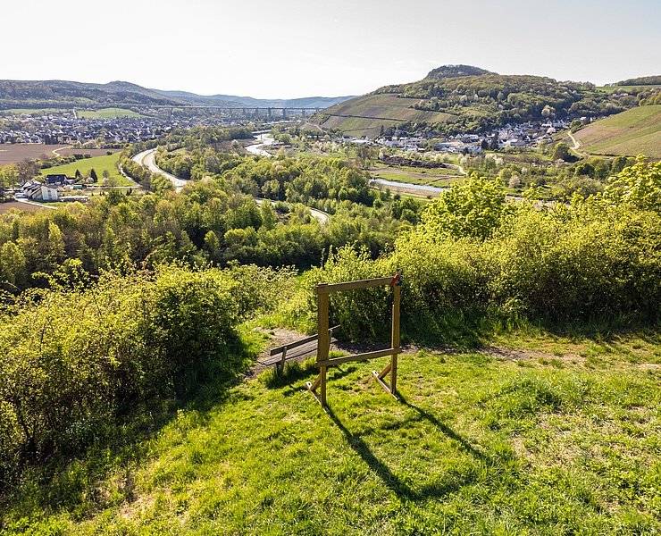
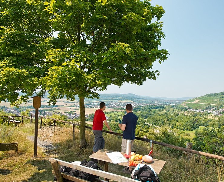
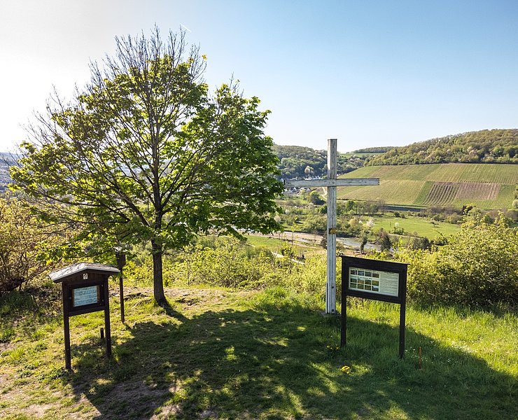
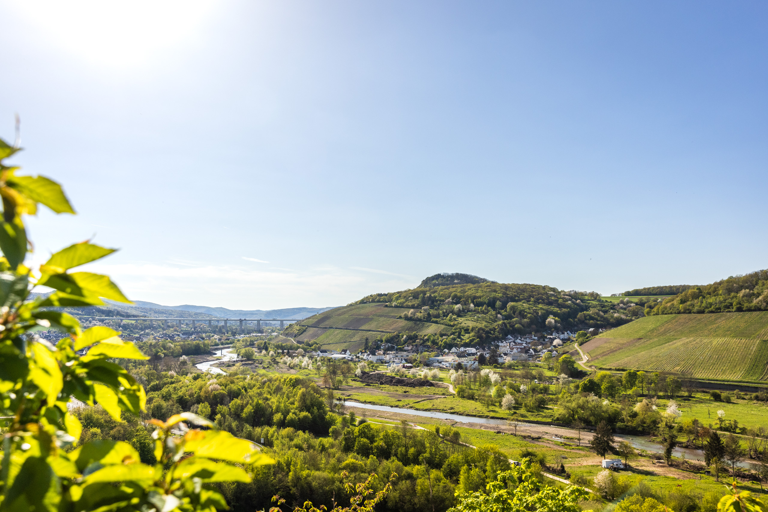
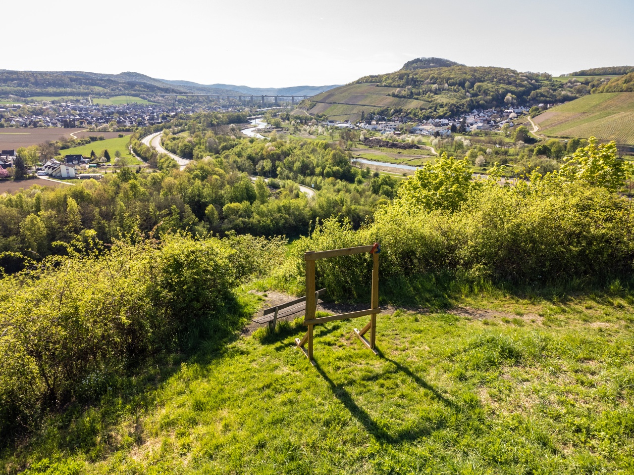
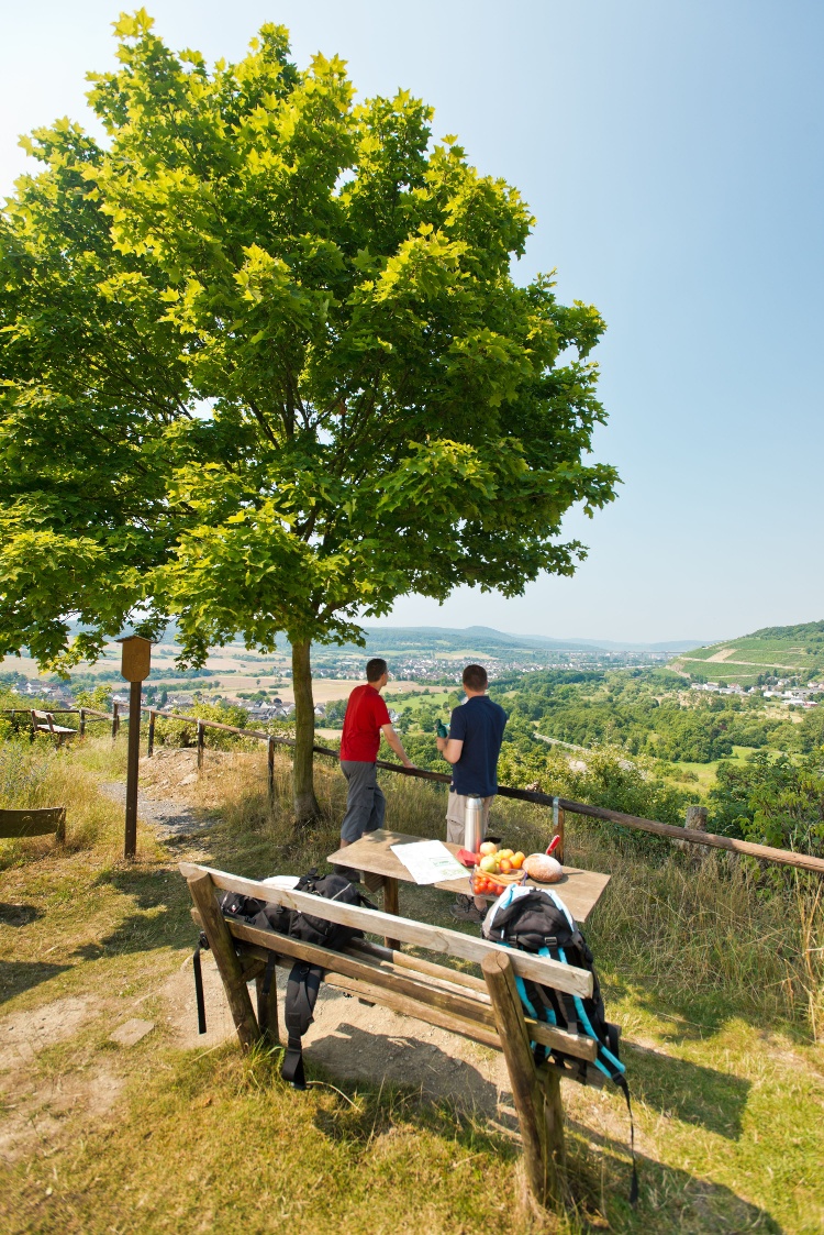
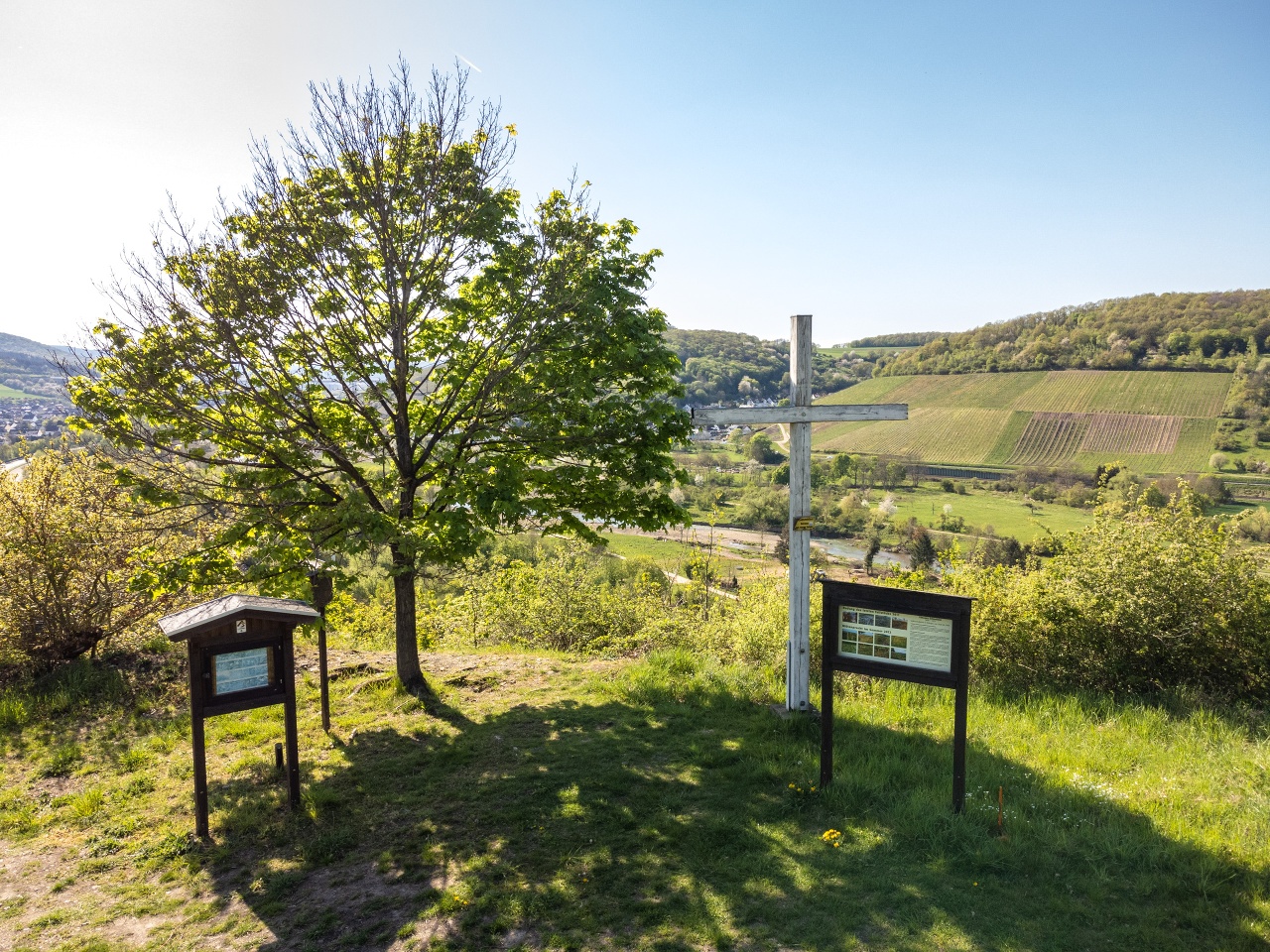
At the beginning the path leads past the town center via a section of the Rhine Castle Trail through forest area up to the "Ziemert" and to the Mönchsheide glider airfield. In the district of Franken, the St. Michael parish church with its magnificent ceiling paintings is worth a visit. Over the vast fields of the Krechelheim wasteland, you reach the rose village of Löhndorf. Over the Mühlenberg you reach the viewpoint Ehlinger Ley, which welcomes hikers with an impressive view of the Landskrone and into the Ahr valley. The return to Sinzig follows the idyllic flow of the Ahr.
The nearby Kirchplatz and the town center of Sinzig invite you to linger after the strenuous hike. Dining options are available at larger intervals along the hiking trail.
Die abwechslungsreiche Tour über die Sinziger Höhen bietet verschiedenste Landschaftsformen. Die Tour führt über offenes Gelände mit eindrucksvollen Fernblicken aber auch durch dichten Wald und entlang der Flusslandschaft der Ahr.
Zu Beginn führt der Weg vorbei an der Innenstadt über einen Abschnitt des Rheinburgenweges durch Waldgebiet hoch auf den "Ziemert" und zum Segelfluggelände Mönchsheide. Im Ortsteil Franken ist die Pfarrkirche St. Michael mit ihren herrlichen Deckenmalereien einen Besuch wert. Über die weiten Felder der Wüstung Krechelheim gelangt man in das Rosendorf Löhndorf. Über den Mühlenberg erreicht man den Aussichtspunkt Ehlinger Ley, der mit einem beeindruckenden Blick auf die Landskrone und in das Ahrtal auf die Wanderer wartet. Der Rückweg nach Sinzig wird vom idyllischen Lauf der Ahr begleitet,
Der nahegelegene Kirchplatz und die Sinziger Innenstadt laden nach der anstrengen Wanderung zum Verweilen ein. Einkehrmöglichkeiten sind in größeren Abständen auch entlang des Wanderwegs gegeben.
The path is not continuously marked. Follow the route on the map or the following description:
Starting point: Sinzig Castle
Initially follow the green Barbarossa loop marking for 8 km to the St. Michael parish church in the Franken district (via Kirchplatz, Lunapark, Helenbergstraße, onto the "Ziemert" to the Mönchsheide estate, glider airfield, Franken).
At St. Michael parish church continue along Frankenstraße and turn right at the first opportunity. Follow the "Old Löhndorf Way" straight ahead for 2 km. Cross the L82 and later the L86.
From the former "Beulerhof" guesthouse take the blue Barbarossa loop marking for 3 km to Löhndorf.
From Löhndorf sports field follow the AhrSteig approach marking to the Mühlenberg. At the panoramic bench turn left onto the AhrSteig. Follow the AS along Schmicklerhütte, Winzerhäuschen and Ehlinger Ley for 2.5 km until just before the B266.
Before the underpass of the federal road turn right and take the path to the Ahr riverside path. Due to the effects of the July 15, 2021 flood disaster, the Ahr riverside path is not passable to Sinzig. Please observe the alternative route on the map.
The path is not continuously marked. Follow the route on the map or the following description:
Starting point: Sinzig Castle
First follow the green Barbarossa loop markings for 8 km to the parish church of St. Michael in the district of Franken (via Kirchplatz, Lunapark, Helenbergstraße, on the "Ziemert" to the Mönchsheide estate, glider airfield, Franken).
At St Michael's parish church, continue along Frankenstraße and turn right at the first opportunity. Continue straight ahead along the "Alter Löhndorfer Weg" for 2 km. Cross the L82 and later the L86.
From the former "Beulerhof" inn, follow the blue Barbarossa loop markings to Löhndorf for 3 km.
From Löhndorf sports ground, follow the AhrSteig access route markings to the Mühlenberg. At the panorama bench, turn left onto the AhrSteig. Follow the AS along Schmicklerhütte, Winzerhäuschen and Ehlinger Ley for 2.5 km until just before the B266.
Turn right before the subway of the main road and take the path to the Ahruferweg. Due to the effects of the flood disaster on 15 July 2021, the Ahruferweg is not accessible as far as Sinzig. Please follow the alternative route on the map.
- Round trip
- Hiking trail
- ZG Vielseitig Aktive (L)
- ZG Aktive Naturgenießer (L)
- ZG Kultur- und Landschaftsliebhaber (L)
- ZG Nur Wanderer (L)
- ZG Städte-Genießer (L)
- Culture highlight
- Botanical highlights
- Refreshment stop
- promising
- Hiking
- Back for you

source
Stadt Sinzig
·
Author:
Maike Gausmann-Vollrath
















