 EN
EN

Tour
Round route Wilderness-Water-Expanse
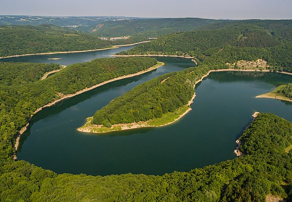
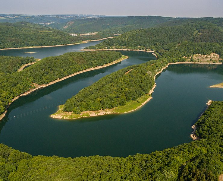
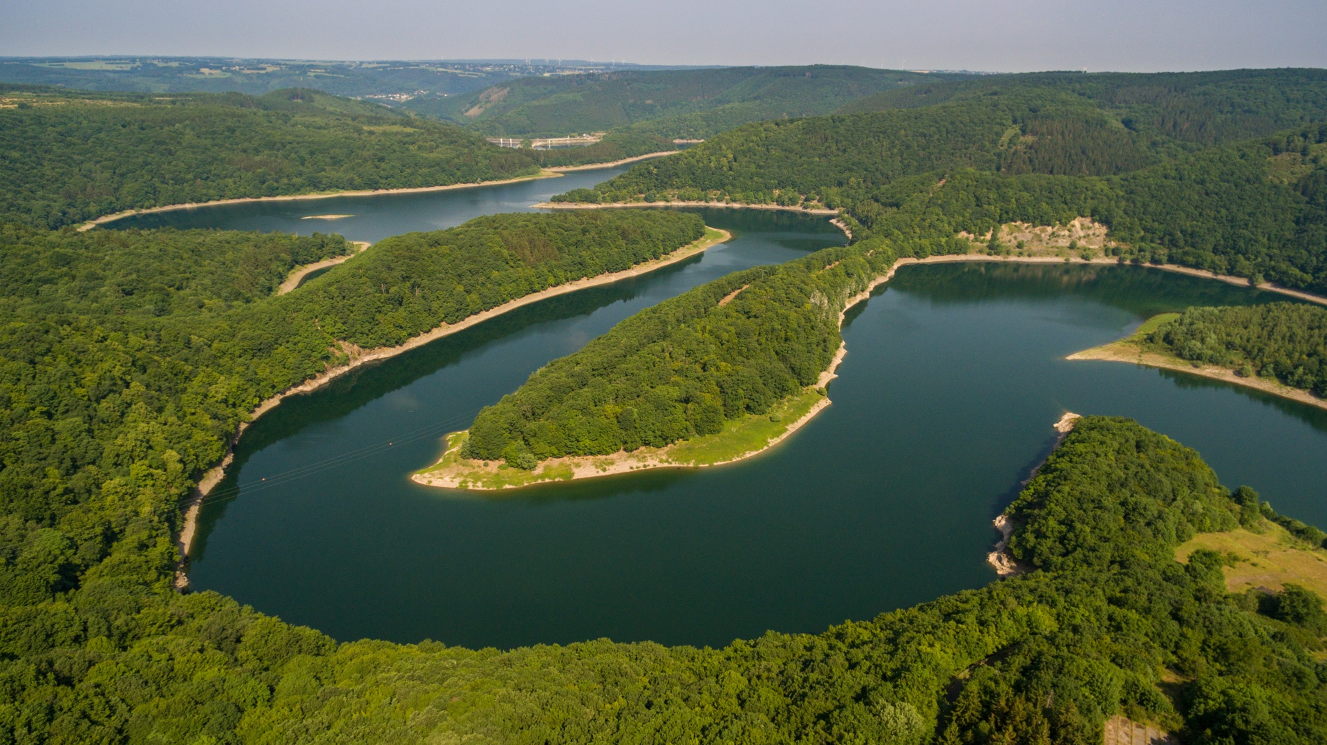
On your round route from Blankenheim to Blankenheim, you will notice how the scent of nature changes at every stage and in every season. Away from traffic and noise, long ridges, gently rolling plateaus, and the cross-border German-Belgian High Fens Nature Park await you – pure nature enjoyment in the Eifel. Experience the exciting process of newly emerging wilderness up close in the Eifel National Park. Take in the impressions of natural beech mixed forests and wild romantic stream valleys with all your senses.
From the Urftsee dam, the route runs directly along the Obersee to Rurberg. From Monschau, the route stretches into Belgium, where you cycle a section on the Vennbahn cycle path. And the High Fens with its wide moor landscapes are worth the trip alone; it is the largest raised bog in Europe.
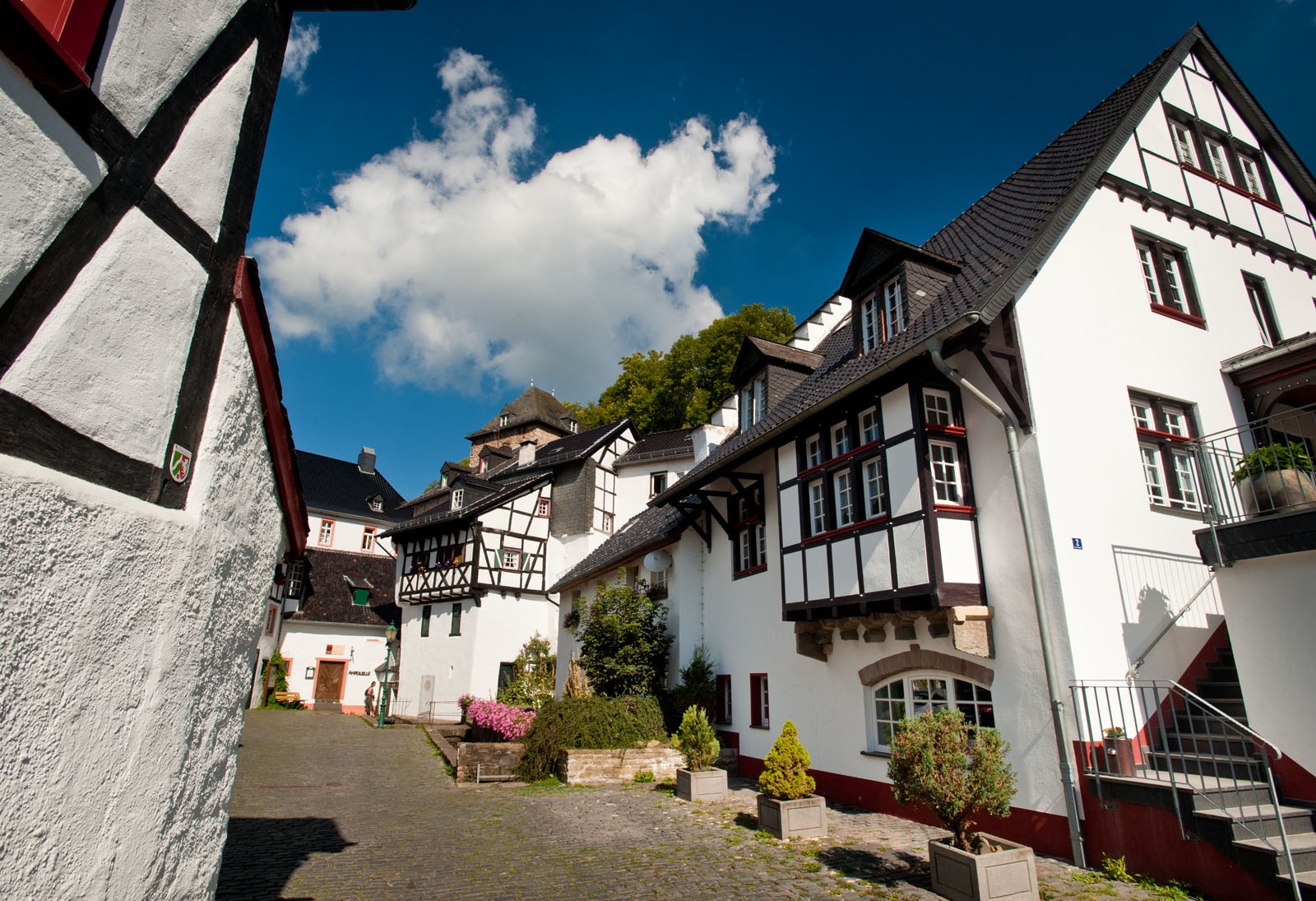
Eifel Heights Route - Characteristics: mainly on bike and service roads, partly smaller roads, mostly gravel surface, flat as well as hilly terrain. Highlights: historic town/city centers Monschau, Blankenheim, nature experience village Nettersheim, Eifel National Park, former Nazi "Ordensburg" Vogelsang.
Vennbahn - Characteristics: one of the longest railway trail cycle paths in Europe, leading through 3 countries, low gradients, mostly asphalted, partly gravel surface. Nature, borderland atmosphere, and Vennbahn stories accompany the route.
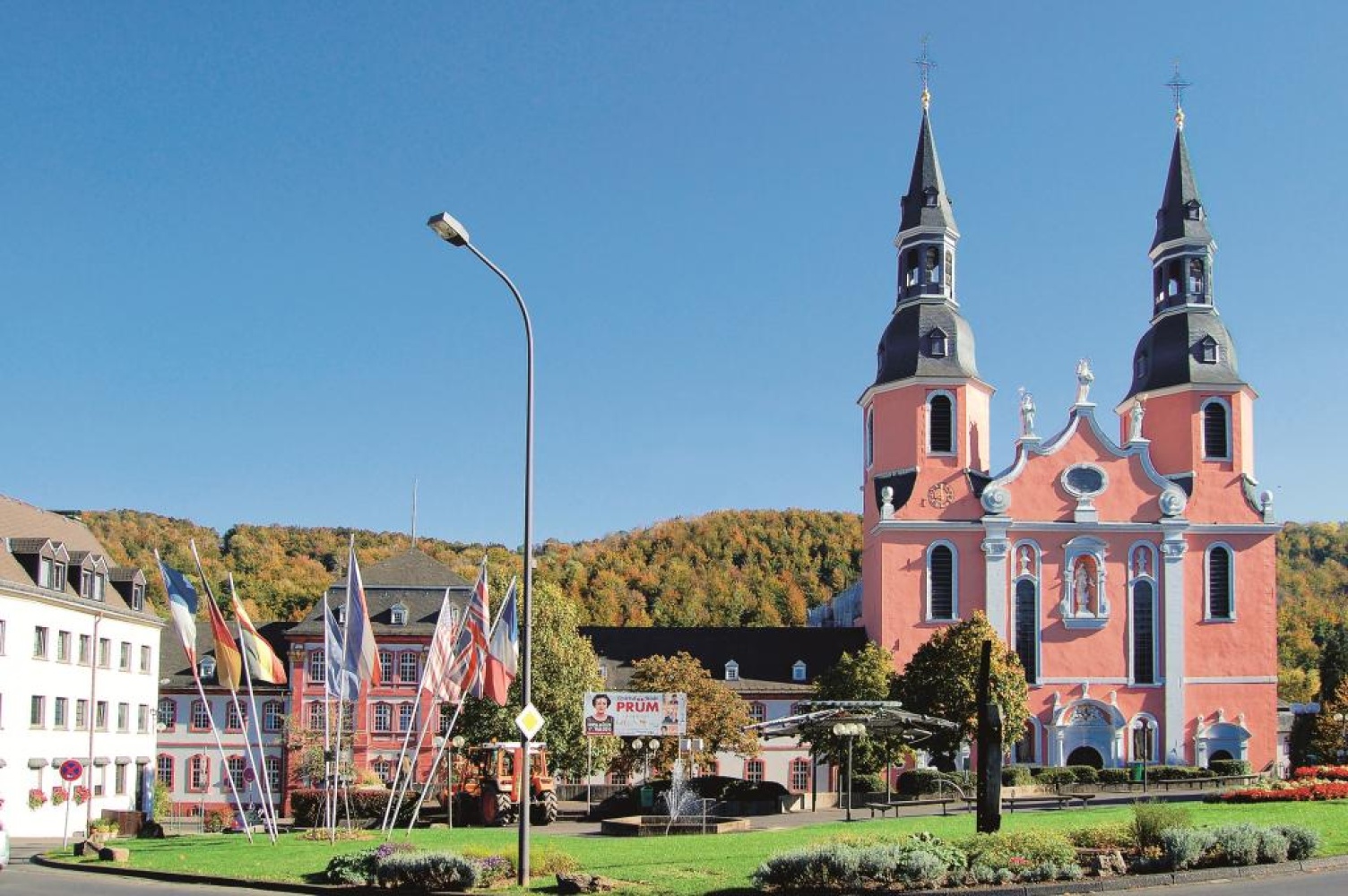
Eifel Ardennes Cycle Path - Characteristics: section St. Vith – Prüm: railway trail cycle path, mostly asphalted route, additionally bike paths/smaller roads, slightly hilly, low gradient route, stronger climb towards the end. Highlights: several bridges and tunnels Prüm – Nürburgring: due to route character only for trained cyclists
Prüm Cycle Path - Characteristics: railway trail cycle path (Prüm-Waxweiler), mostly paved and asphalted paths, additionally via bike/service roads, partly low traffic district roads
Kyll Valley Cycle Path - Characteristics: mainly asphalted, flat to slightly hilly route, Kyllburg-Erdorf: stronger ascent over 110 meters elevation (possibly bridge with train), Jünkerath-Losheim: on a former railway line, mostly on low-traffic paths, additionally through towns, on low-traffic state/district roads
- Round trip
- Cycle path
- Cycling

source
Eifel Tourismus GmbH
·
Author:
Esther Juli
















