 EN
EN







Wanderweg
Hiking paradise Sahrbachtal | adventure route from/to Binzenbach
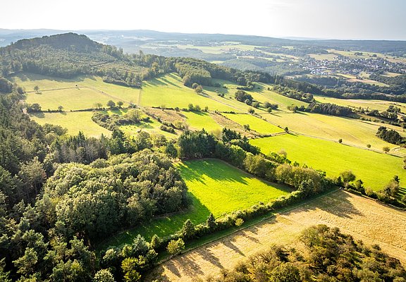
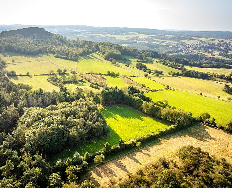
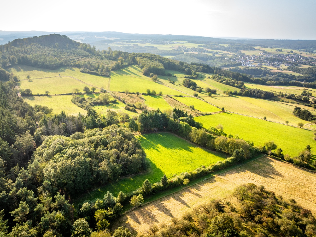
The route leads along unspoilt paths, quiet forest trails, past the babbling brook and over the heights back down into the valley. "On the way to the stars" information boards explain the universe, the encounter with the "marvel of technology" is unique. After a rest on the "colourful bench", the trail leads from the heights via a partly rocky path back into the Sahrbach valley.
The route leads over natural paths, quiet forest trails, past the babbling brook and over the heights back into the valley. "On the way to the stars," information boards explain the universe, the encounter with the "technical wonder" is unique. After a rest on the "colorful bench," the path leads from the heights via a partly rocky path back into the Sahrbachtal.
The hike starts at the hikers' car park in Binzenbach.
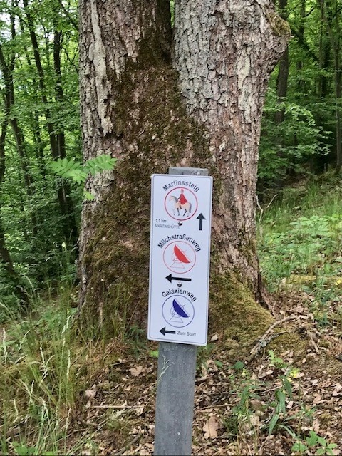
On the way along the Milky Way (red telescope logo), the "space hikers" dive into the universe.
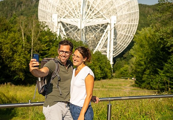
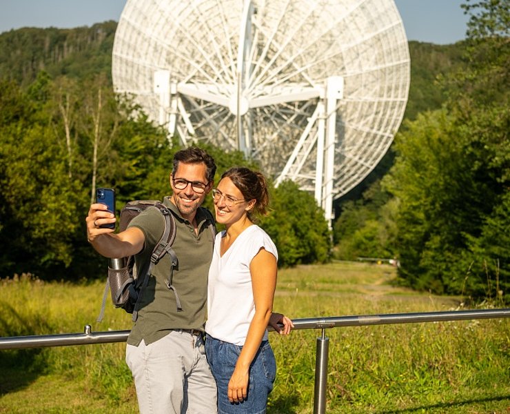
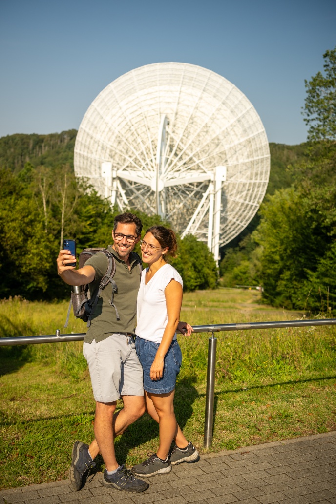
Directly along the path, a marvel of technology presents itself: the radio telescope of Effelsberg.
Following the Galaxienweg (blue telescope logo), first along the Holzemer Bach stream, there is a short, crisp climb (300 metres). At the side of the path you can discover former gravel pits.
On the hill you reach the chapel "Auf Seligen". Past the "colourful bench" at the Martinshütte, the path leads back to the starting point of the hike in Binzenbach via the Martinssteig.




- Round trip
- Hiking trail
- ZG Vielseitig Aktive (L)
- ZG Aktive Naturgenießer (L)
- ZG Kultur- und Landschaftsliebhaber (L)
- ZG Nur Wanderer (L)
- ZG Städte-Genießer (L)
- Family friendly
- Culture highlight
- Botanical highlights
- Geological highlights
- promising
- Back for you
- Hiking

source
Verbandsgemeinde Altenahr
·
Author:
Ulla Dismon
















