 EN
EN

Wanderweg
Bat Way Hönningen
Around Hönningen
Past the bats' winter quarters, over narrow paths through the village, the path leads to the edge of the forest of Hönningen. On the ascent, there are wonderful views of Hönningen and the surrounding towns. Over forest paths and garden paths, the historic village center and the start of the hike are reached.
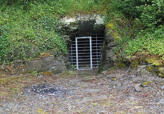
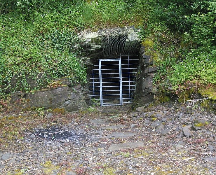
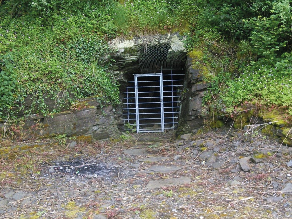
The route runs below the village center, which was built on a steep rock, along the millstream to two bunkers hewn into the rock. These served as protection during air raids in wartime. Today, bats have made their winter quarters there. Over narrow paths and developed trails, the path winds uphill to the edge of town. On a meadow path, a bench invites you to enjoy the splendid view of Hönningen and the yellow-lit Katharinenkapelle in Ahrbrück. Along bright forest trails, with views of Hönningen and the surrounding towns, the path leisurely passes the Hubertushütte going downhill back to the starting point.
Directions
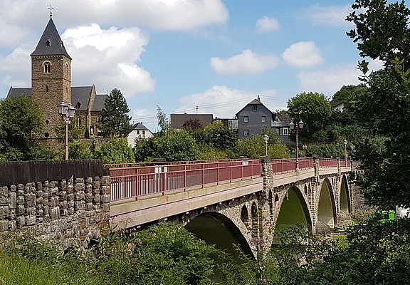
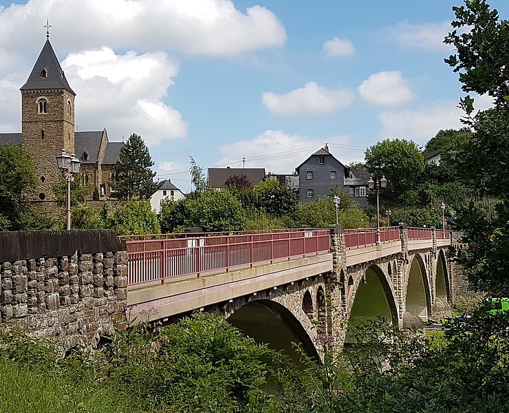
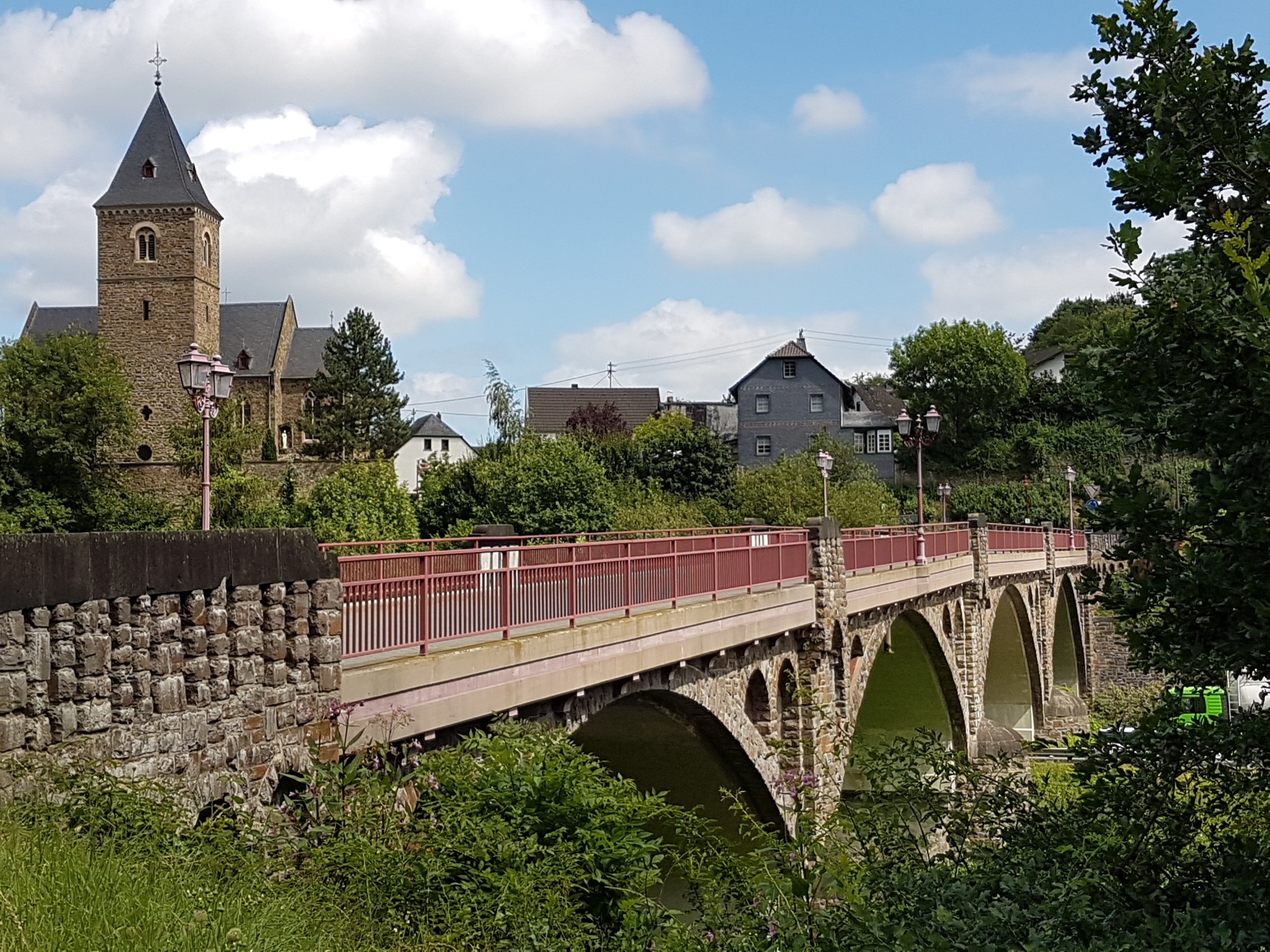
The short hike around the center of Hönningen starts at the historic Ahr bridge.
The Ahr bridge in Hönningen is the largest bridge over the Ahr. With 5 pillars and 4 round arches, it spans 104.5 meters across the Ahr, the federal highway 257, and the former millstream. The Ahr bridge in Hönningen is one of the few bridges in the Ahr valley that survived the flood on 14.06.2021.
Across the Ahr bridge at the roundabout, the Bat Way turns left under the wall into Schulstraße. Follow Schulstraße, past the multi-generational playground and through a small underpass to reach the first two bunkers, which lie to the right of the path. Immediately after the bunkers, a path branches off to the right and leads uphill to Bahnhofstraße. There, briefly turn left downhill and then immediately follow the path up to the bus stop. Here the main street is crossed. About 100 m downhill to the left on the main street is the 3rd bunker. Above the bunker, a path leads up to Blumenstraße. Follow Blumenstraße to the left, which ends in a field path. Follow the field path to the next turn right uphill over a meadow path. Follow the meadow path to the edge of the forest and then turn right onto the forest path. At the next intersection, continue straight for about 600 m to a fork. Here turn right downhill, through the gate, and further downstream into the locality of Hönningen. Here continue straight down the Teufelsleyweg. About 50 m before the large lime tree, turn left into a garden path. At the next opportunity, turn right into a narrow alley that leads downhill. This path leads to the historic center of Hönningen. The route passes the old school, a stone building now used as the community center. Right next to the community center is the old village well in a half-timbered building. In the war years, the upper floor served as a short-term detention. Today, the ground floor houses a small fire brigade exhibition. Through the peaceful village street, the Catholic Church of St. Kunibert is reached. The church was built in the 13th century. An extension created a mix of late Gothic and late Romanesque architecture. Worth seeing are the wonderful frescoes on the central and side pillars.
The hike ends at the Ahr bridge, the starting point of the circular route.
- Round trip
- Hiking trail
- ZG Vielseitig Aktive (L)
- ZG Aktive Naturgenießer (L)
- ZG Kultur- und Landschaftsliebhaber (L)
- ZG Nur Wanderer (L)
- ZG Städte-Genießer (L)
- Culture highlight
- Refreshment stop
- promising
- Hiking

source
Verbandsgemeinde Altenahr
·
Author:
Ulla Dismon
















