 EN
EN

Tour
In the Footsteps of Princess Margaretha (Aremberg – Wershofen – Eichenbach – Antweiler – Aremberg)
The hiking route can be flexibly divided into shorter loop trails using the two short routes between Aremberg and Eichenbach, as well as between Wershofen and Eichenbach.
>> Short Route 1 (9.3 km)
>> Short Route 2 (14 km)
>> Short Route 3 (20.7 km)
Highlights along the way:
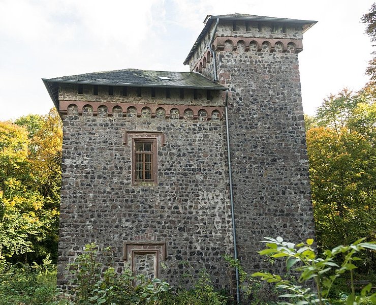
- Arenberg Castle and Palace Ruins (approx. 800 m off the route)
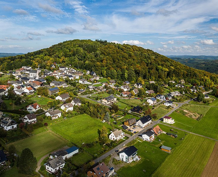
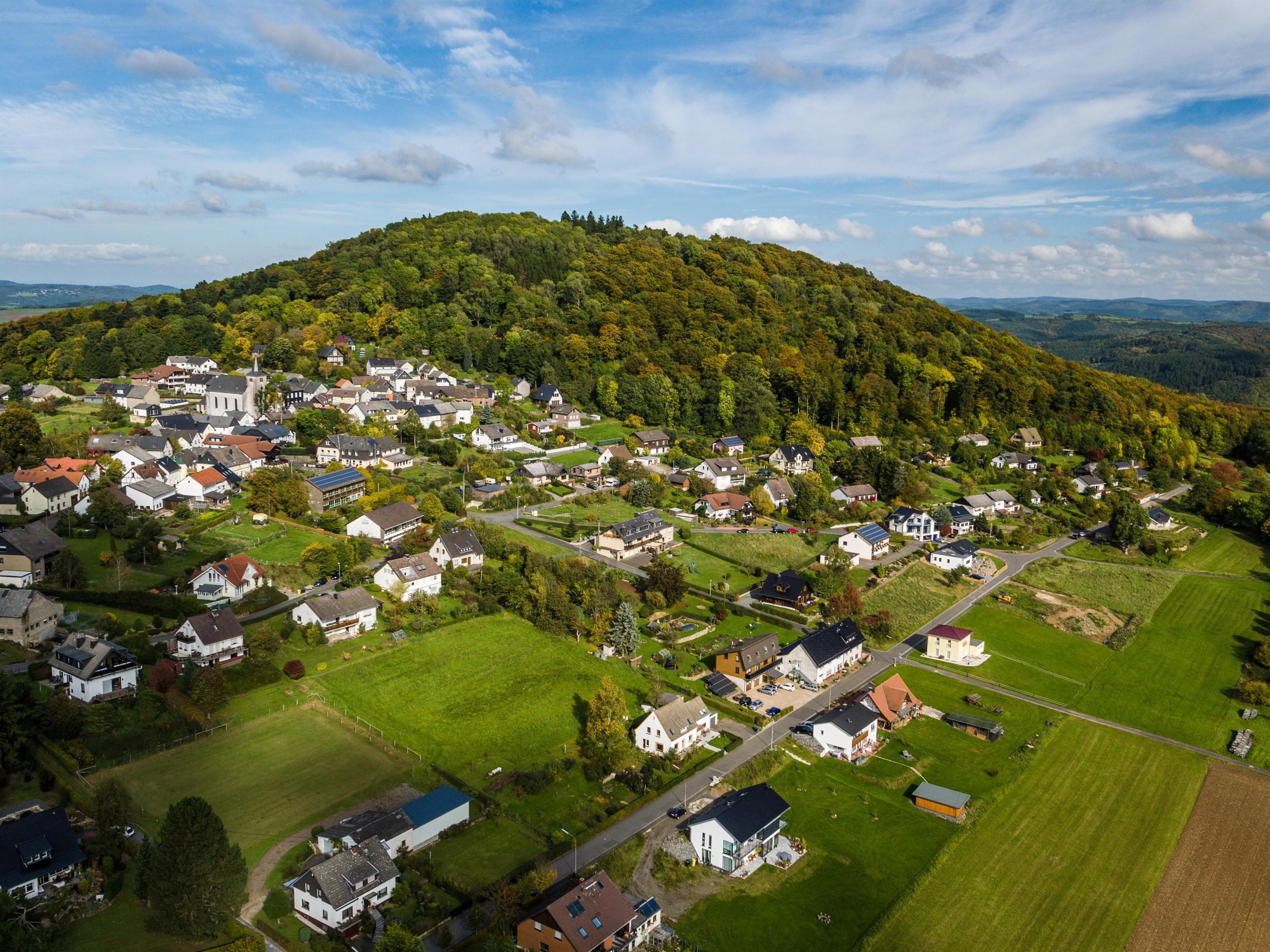
- St. Nicholas Parish Church, Aremberg
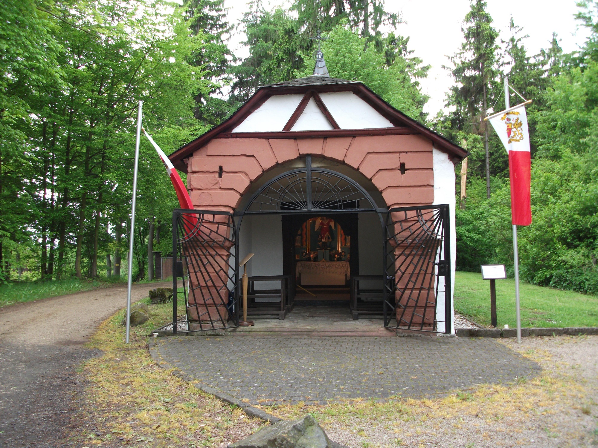
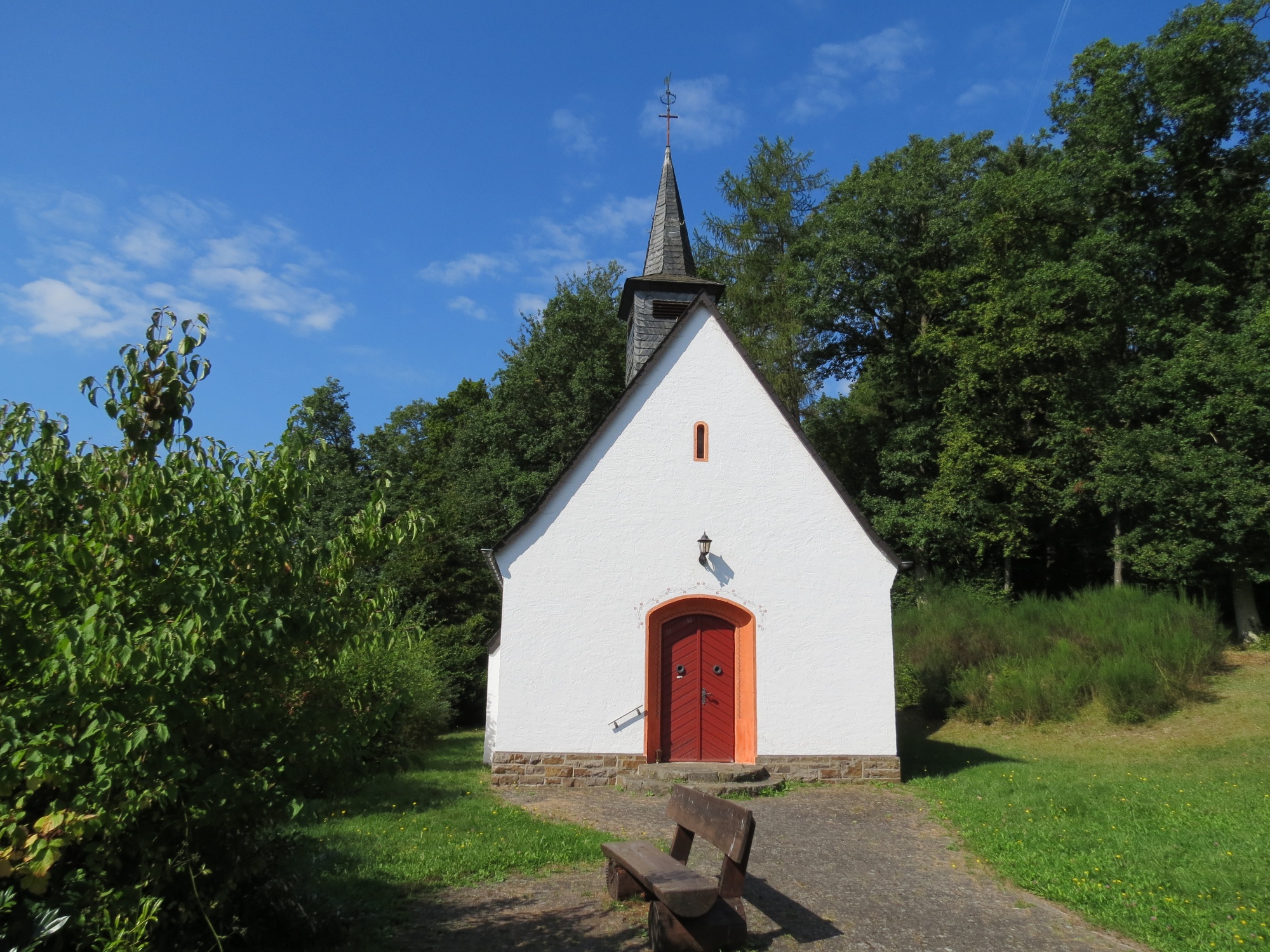
- Guardian Angel Chapel, Aremberg
- St. Pitte Rest Area, Wershofen
- Wildlife Enclosure at Hotel Kastenholz, Wershofen
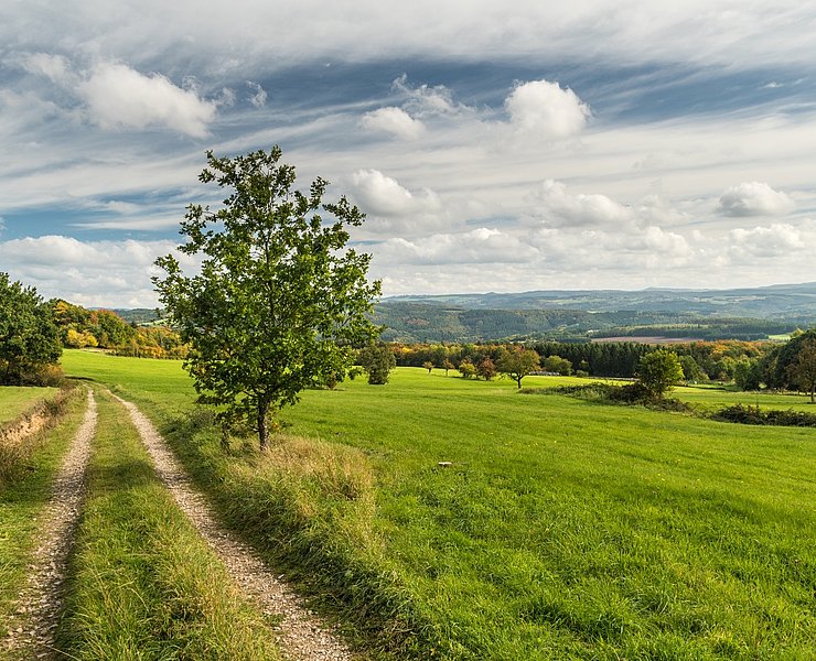
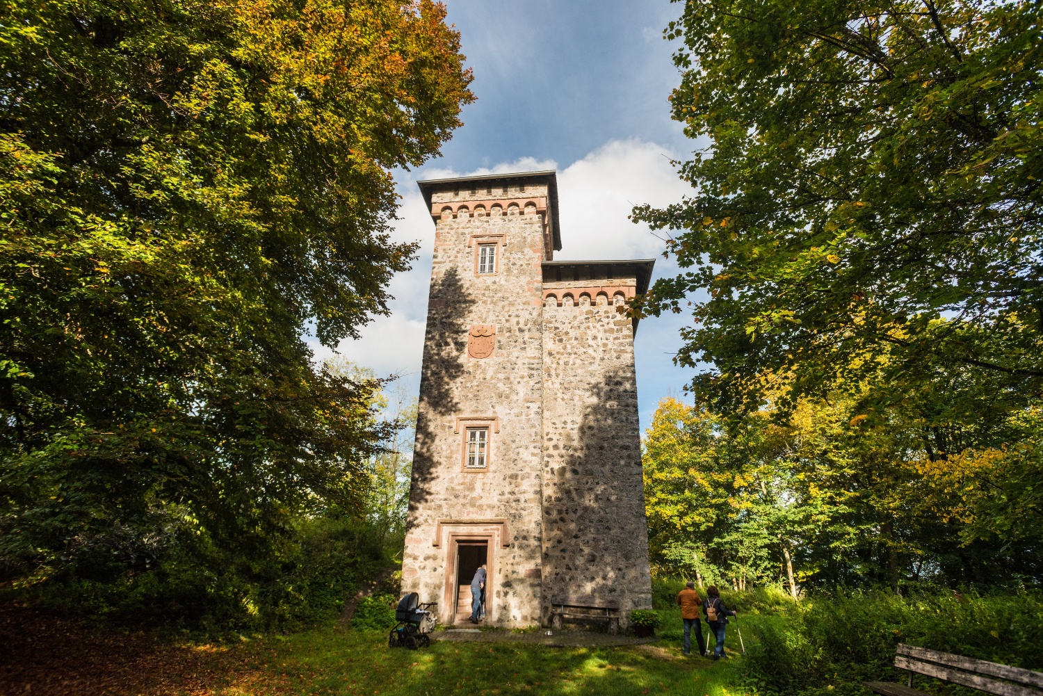
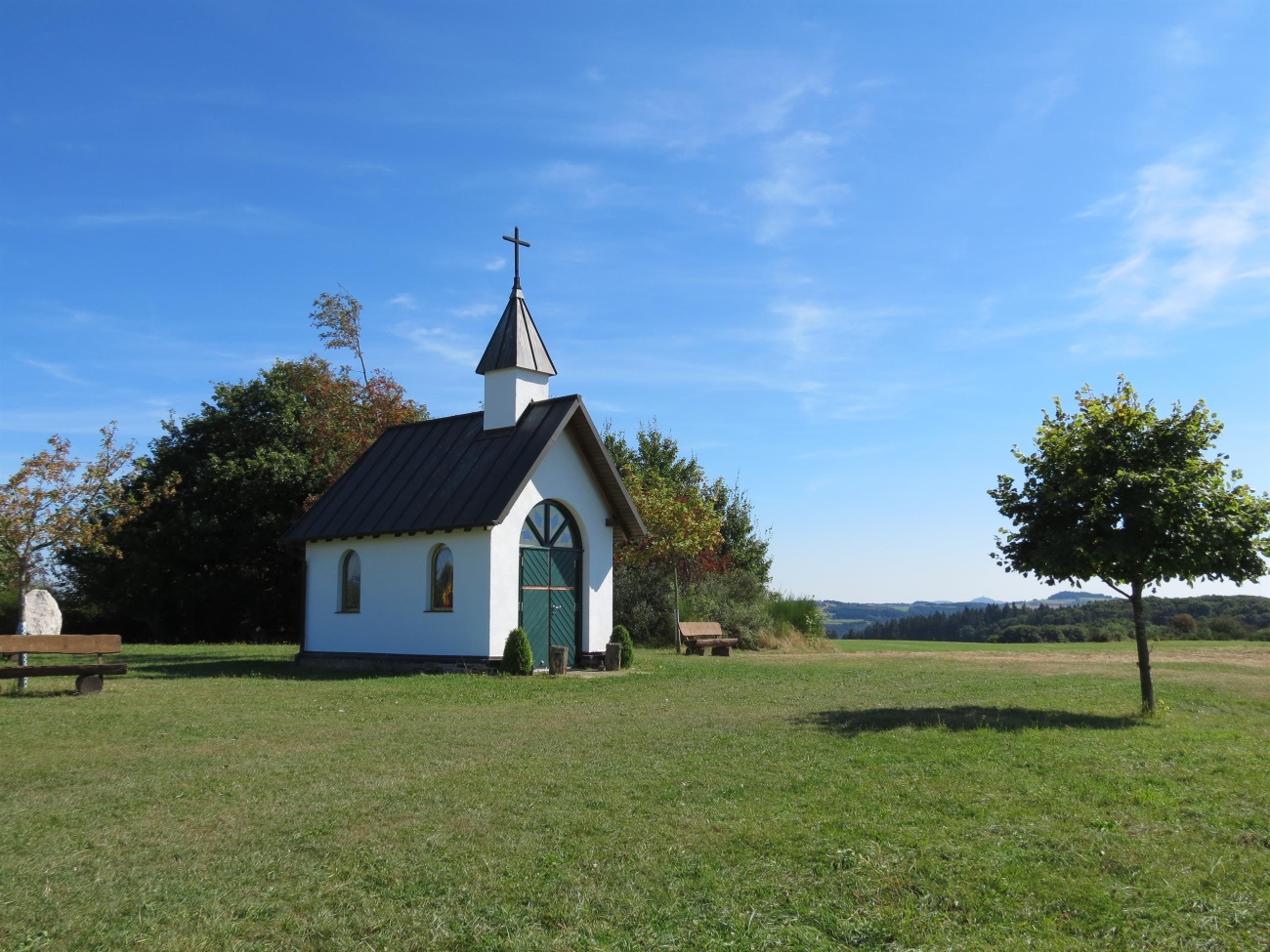
- Hocheifel View: Kottenborner Cross with Kottenborner Chapel
- St. Maximin Church, Antweiler
Plan a pleasant break and treat yourself to the culinary delights in Aremberg, Wershofen, Eichenbach, and Antweiler .
you’
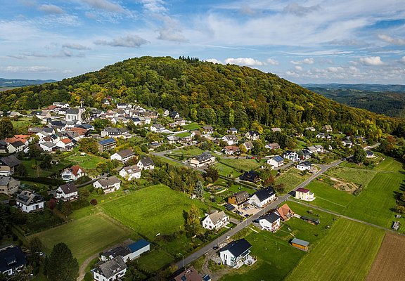
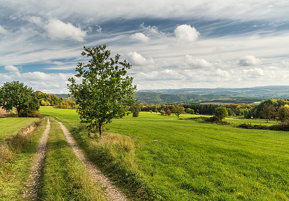
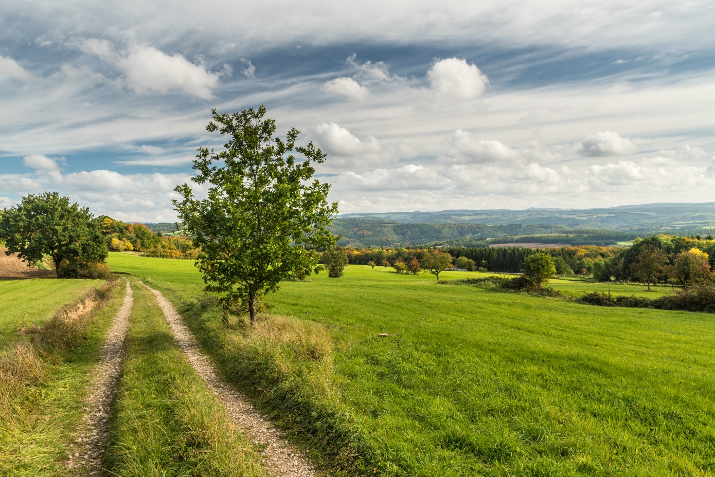
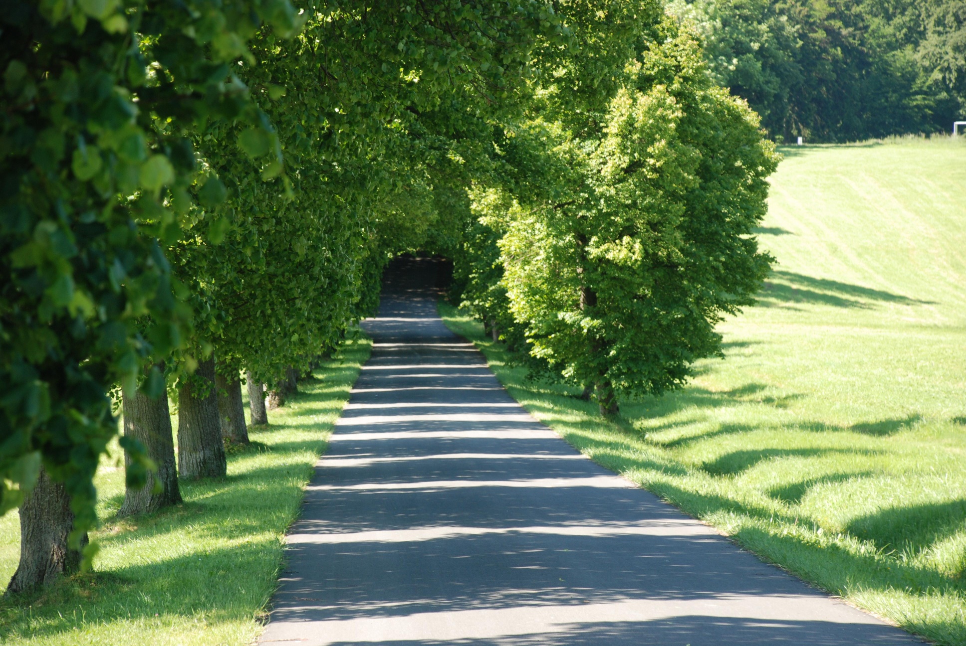
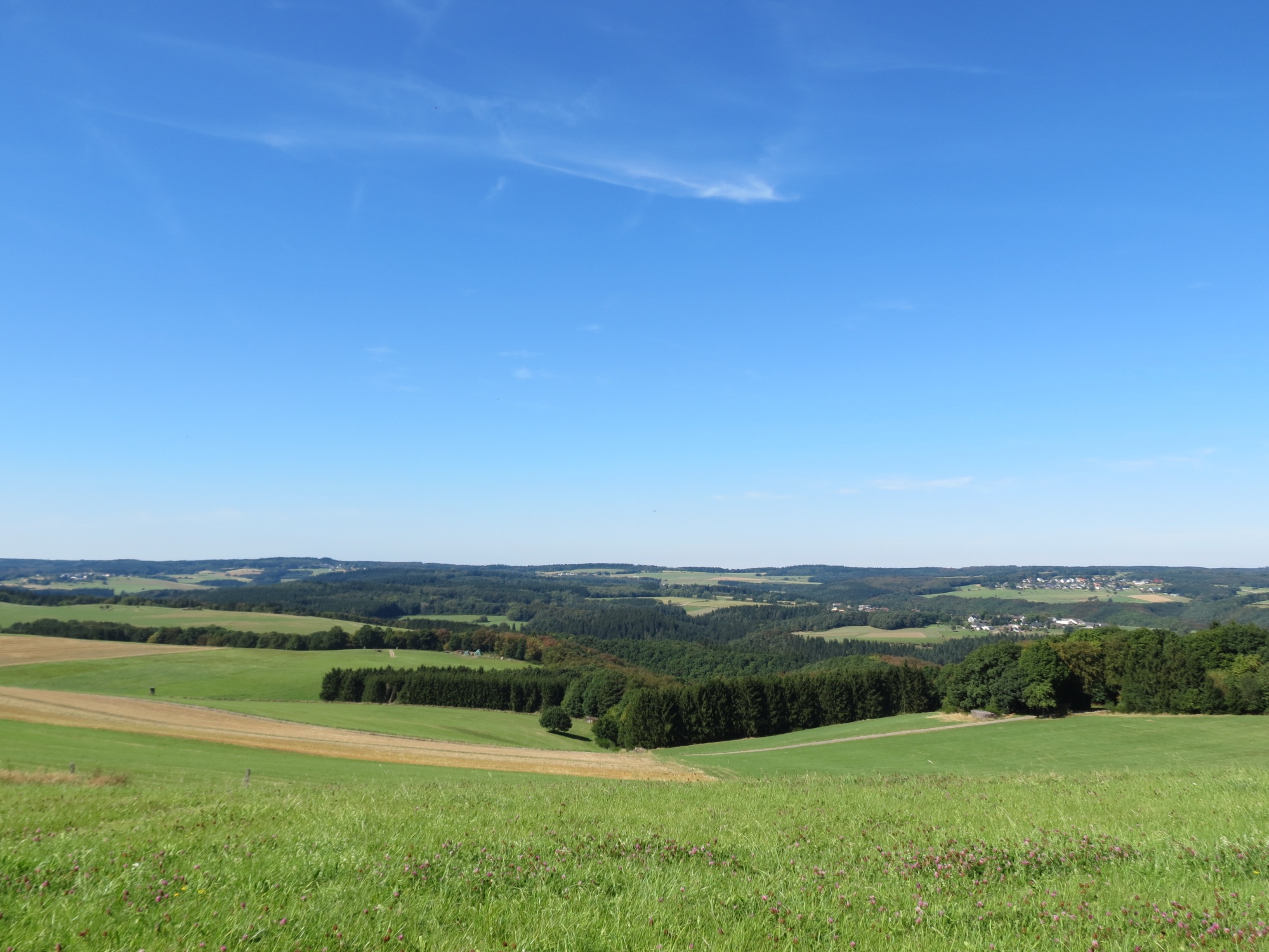
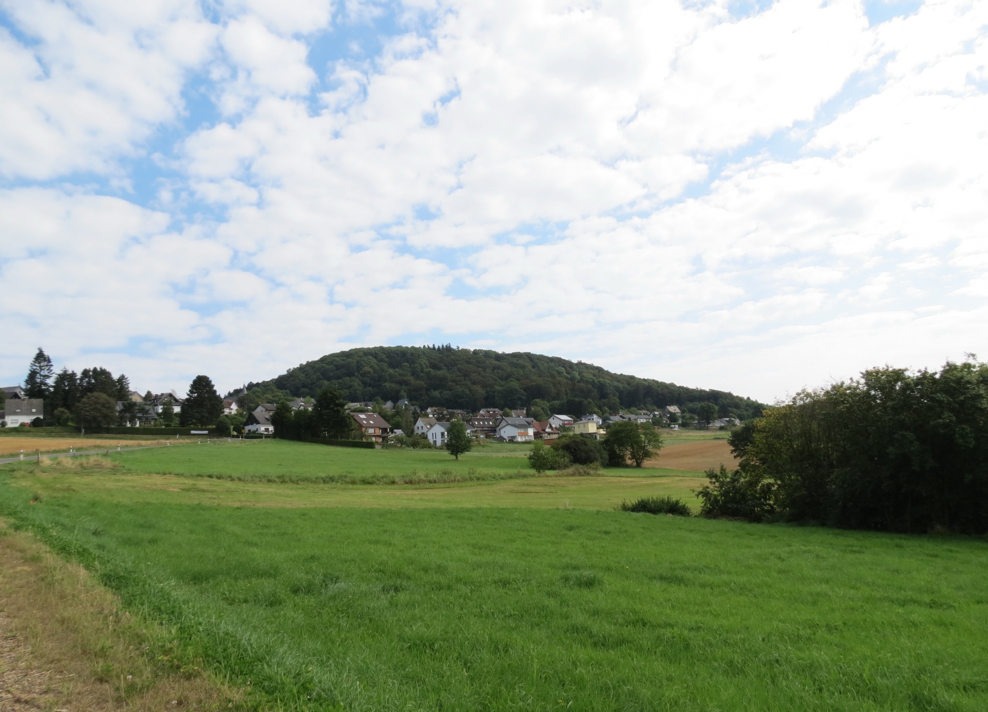
ll find the Landgasthaus Pfahl about 200 m further along themain road. Back on Südstraße, follow the route along the main road to the Hotel Kastenholz, where you can visit a large game preserve. Here, the trail crosses the L74 again. Head toward Kottenbornerstraße until you reach the Kottenborner Chapel. From here, you’ll have a fantastic view of the striking Aremberg. There’s also a seating area here perfect for a picnic. The trail leads past the chapel, across meadows and through the forest, downhill toward Laufenbacher Hof. Once at the bottom, the trail crosses the L73 and the Dreisbach stream until just before the tunnel. From here, the trail heads uphill to the right; to the left, you can see the village of Fuchshofen. The trail continues to the meadows of Eichenbach. To the right, you can see Wershofen and Ohlenhard; after a few hundred meters, there’s a lovely open hiking shelter on the left. There are information boards there showing the native animals of the region. After about 400 m, you’ll come to a chapel; from here, you can already see Eichenbach. There is no cell phone reception in the village, regardless of the network. If you’re looking for peace and quiet, this is the place for you. Passing the restaurant “Zum Wiesengrund,” the trail turns left onto Meisenweg toward Antweiler. Halfway up the trail, you can see Reifferscheid and Winnerath to the left. The trail continues downhill through the beech tree-lined avenue toward Antweiler, passing the Fürstin-Margaretha-Schule. After 100 m, the trail turns right and heads uphill to the starting point in Aremberg. Halfway up, there’s another beautiful view; continue uphill to the left, past a chapel, all the way to Aremberg, where the Burgschänke once again invites you to linger and relax.
Aremberg – 11 km Wershofen – 11.2 km Eichenbach – 3.9 km Antweiler – 2.5 km Aremberg
The route is marked throughout with the trail logo.
- Round trip
- ZG Vielseitig Aktive (L)
- ZG Aktive Naturgenießer (L)
- ZG Kultur- und Landschaftsliebhaber (L)
- ZG Nur Wanderer (L)
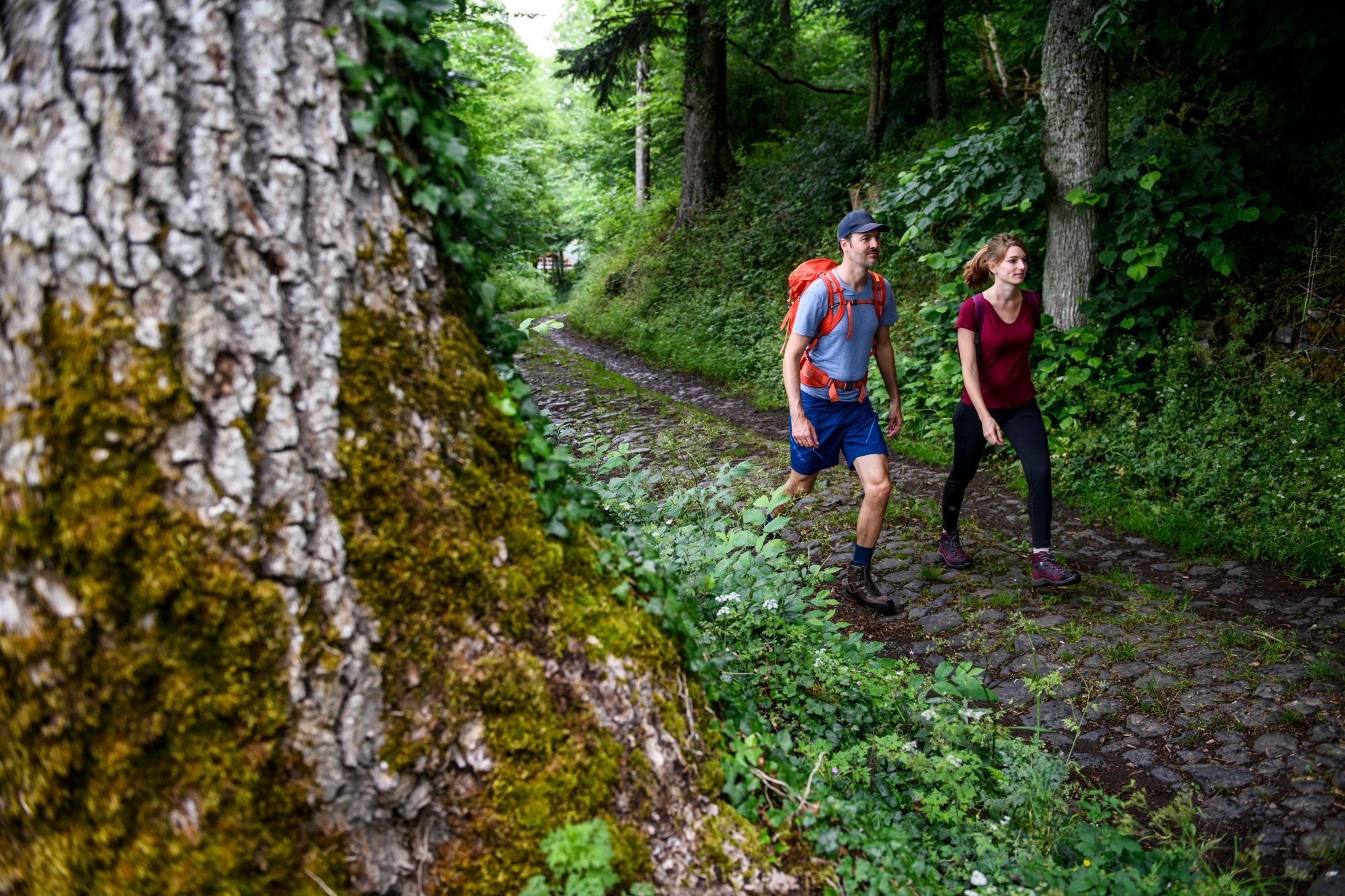
- Hiking

source
tourist-information-hocheifel-nuerburgring
·
Author:
Daniela Schmitz / Tourist-Information Hocheifel-Nürburgring
















