 EN
EN

Fernwanderweg
AhrSteig Stage 3: Aremberg to Insul (19.4 km)
Aremberg - Arenberg castle and palace ruins - Eichenbach - Bläke Fritz - Streitenau - Schornkapelle - open-air theatre - Schuld - Insul
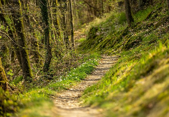
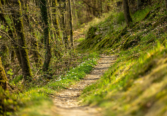
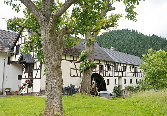
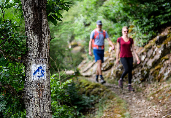
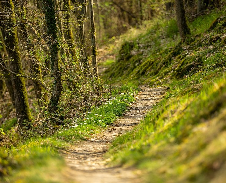
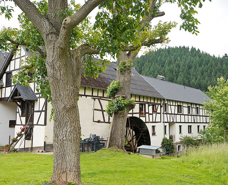
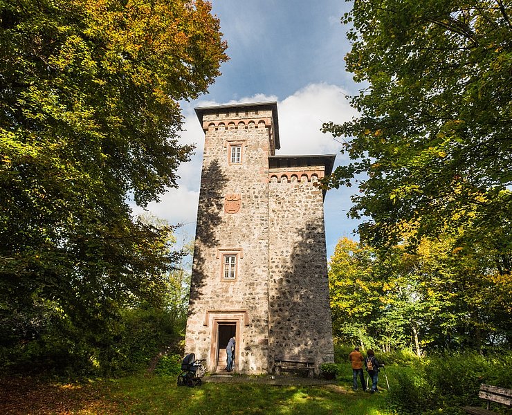
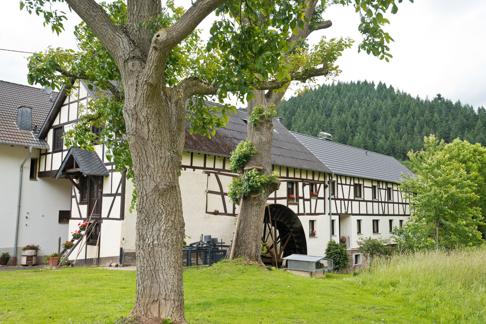
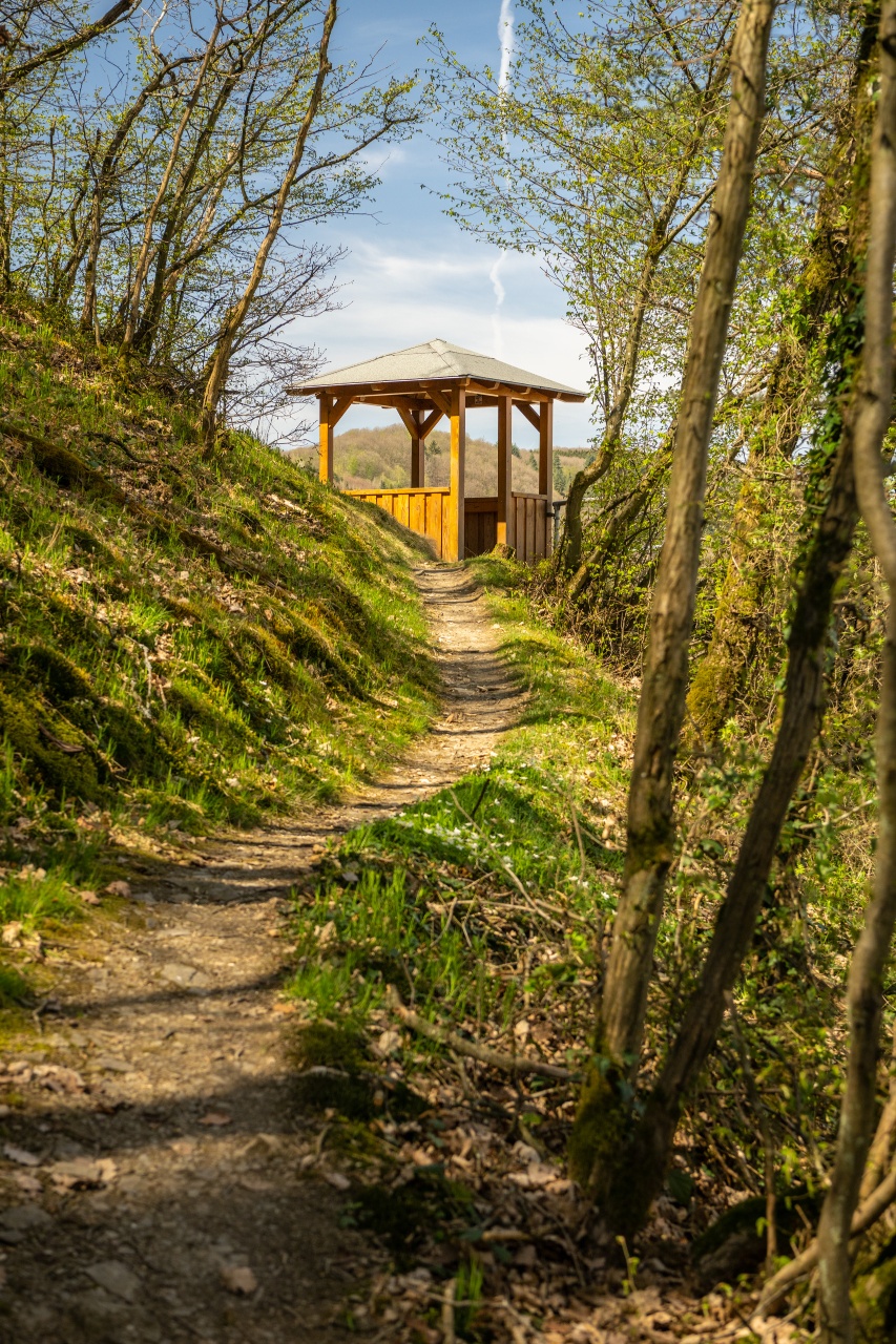
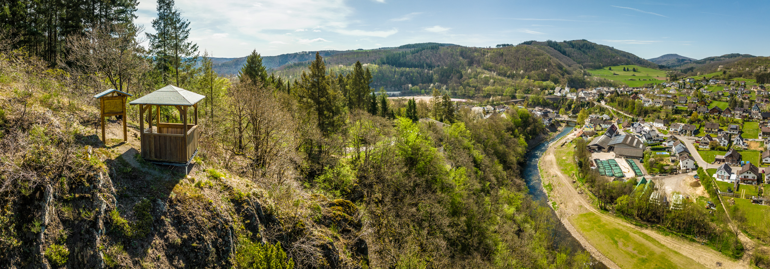
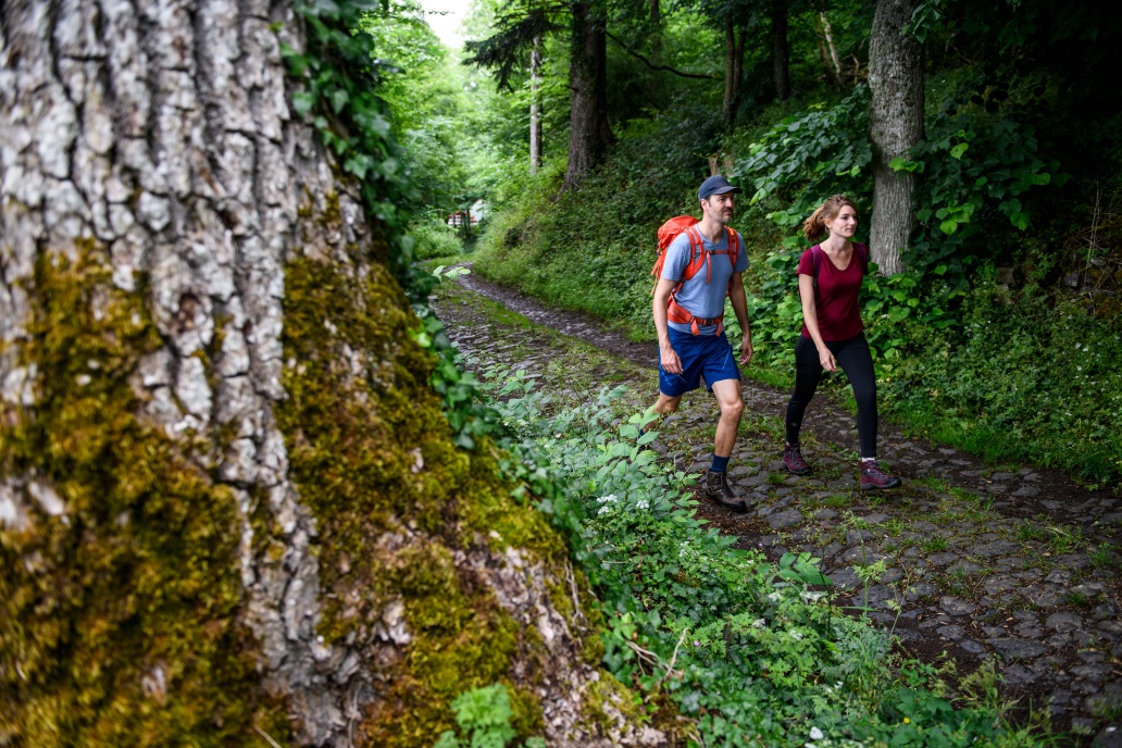
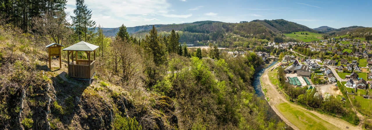
The route climbs steeply to the Ruins of Arenberg Castle - at 623 metres, the highest point of the entire AhrSteig. You reach Eichenbach via steep forest paths. Through the Eichenbacher Forst forest and after crossing the Ahr, a crisp ascent follows along hidden paths to spectacular rocky passages and along rugged sandstone walls to Schuld. A detour to the Schornkapelle chapel and the open-air theatre is well worthwhile. Continuing along forest paths, up to the impressive rock massif of the Spicher Ley with impressive views of the Ahr valley, the route leads over the last stage ascent through forests and meadows down to Insul with the natural monument Prümer Tor and the Hahnensteiner Mühle mill.
.Return to the starting point with the RadWanderBus Oberes Ahrtal line 899 (29 March - 1 November): Blankenheim - Antweiler - Schuld - Insul - Altenahr - Ahrweiler or all year round with the Bus line 861 Blankenheim - Freilinger See - Antweiler - Schuld - Insul - Ahrbrück. In addition, a change to bus route 882 back to Aremberg is required in Schuld or Antweiler.
Aremberg - Arenberg Castle and Palace Ruins - Eichenbach - Bläke Fritz - Streitenau - Schorn Chapel - Open Air Stage - Schuld - Insul
It goes steeply uphill to the Arenberg Castle and Palace Ruins – at 623 meters the highest point of the entire AhrSteig. Over steep forest paths, you reach Eichenbach. Through the Eichenbach forest and after crossing the Ahr, a brisk ascent follows over hidden paths to spectacular rock passages and along rugged sandstone walls to Schuld. A detour to the Schorn chapel and to the open-air stage is worthwhile. Further along forest paths, up to the impressive rock massif of the Spicher Ley with impressive views of the Ahr valley, the route leads over the last stage ascent through forests and meadows downhill to Insul with the natural monument Prümer Tor and the Hahnenstein mill.
Back to the starting point goes with the RadWanderBus Upper Ahr Valley line 899 (29.03. - 01.11.): Blankenheim – Antweiler - Schuld - Insul - Altenahr - Ahrweiler or all year round with the Bus line 861 Blankenheim - Freilinger Lake - Antweiler - Schuld - Insul - Ahrbrück. Additionally, in Schuld or Antweiler, a transfer to bus line 882 back to Aremberg is necessary.
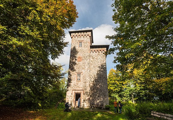
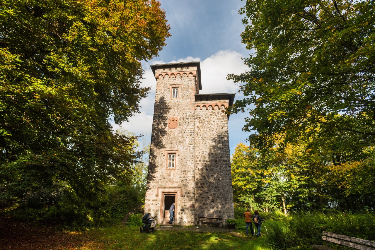
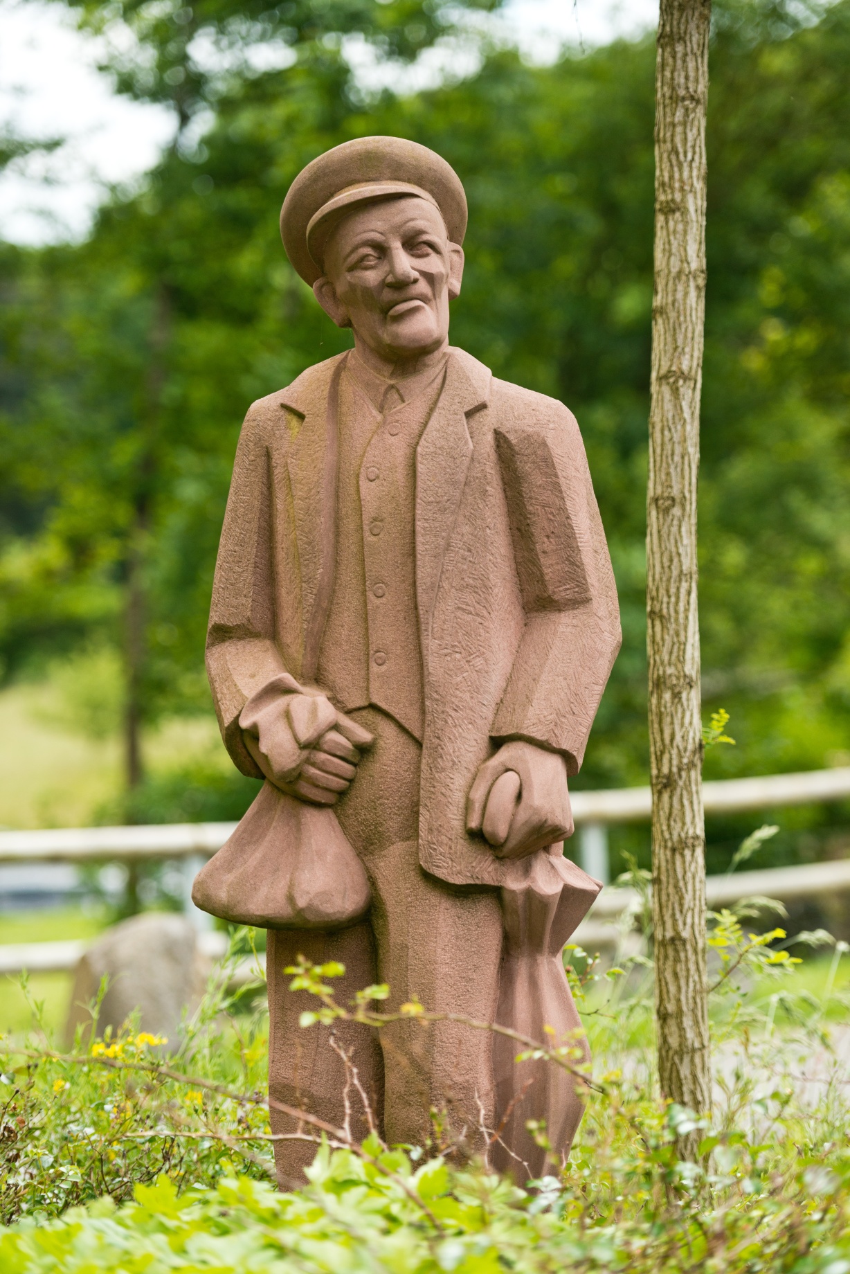
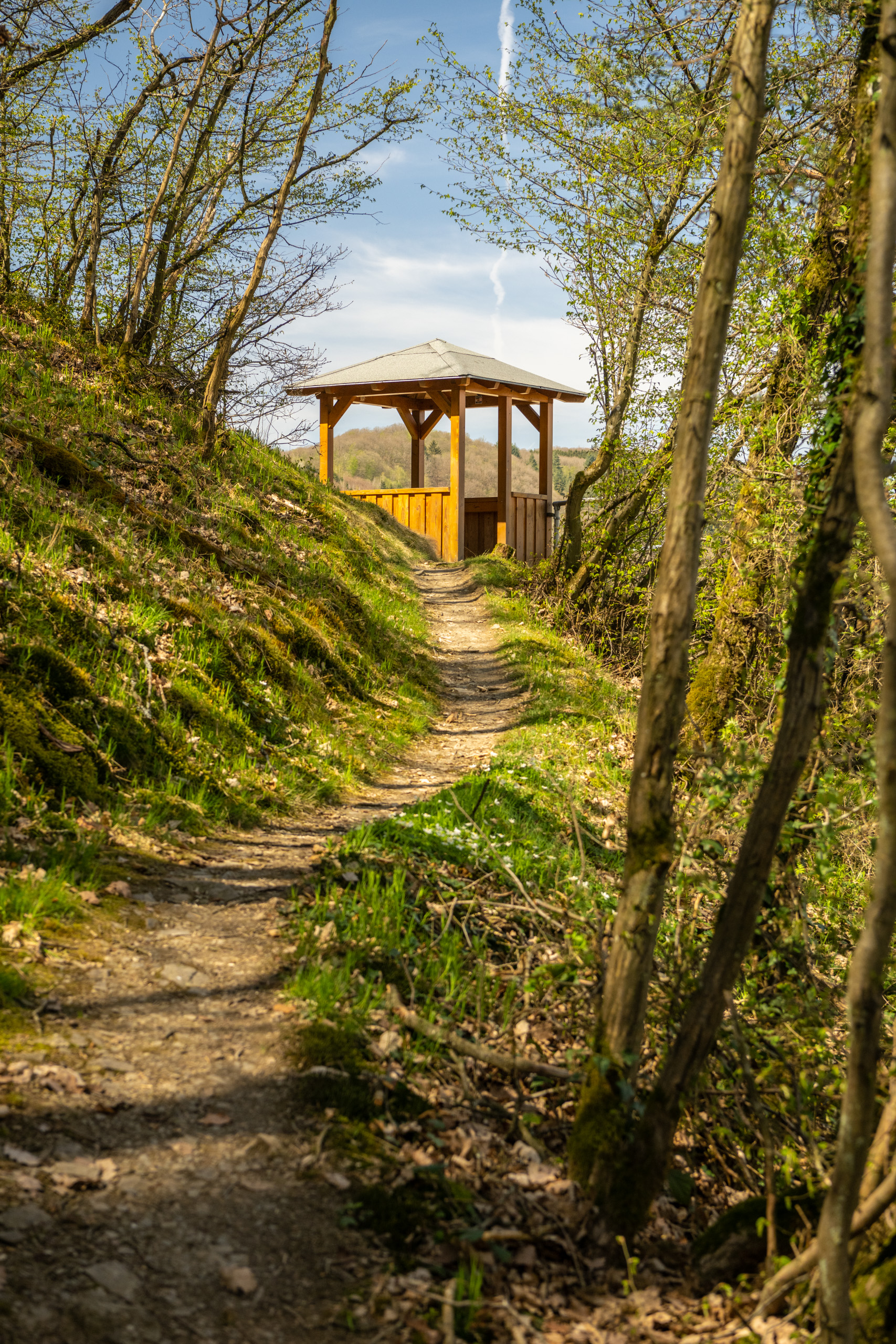
At the very beginning, the promising ascent to the plateau of the Aremberg, one of the highest extinct volcanoes in the Eifel, awaits us. Only the overgrown remains of walls, ditches and a mysterious avenue hint that a mighty castle complex once sat enthroned on the hilltop. The observation tower - which is usually locked - dates from a later period. The key is available in the village. Very close to the tower, we leave the plateau on a narrow path. We can feel the old stone of the former castle walls beneath our feet. As soon as we come to a forest path, the route now descends steadily to Eichenbach. In this small, picturesque village, we visit the sandstone sculpture of Bläke Fritz. The quick-wittedness of this tinker, known throughout the Ahr valley for his humour, has been preserved in a number of anecdotes. We take a short detour from the main route at the Landgasthaus zum Wiesengrund and follow the Ahr valley road downhill for about 500 metres. Passing the chapel of the 14 emergency helpers, the route now climbs up to the Mertesnück plateau. On the left, the wooded hills above the Dreisbach valley are a feast for the eyes. And then we plunge into the forest again. In wide hairpin bends, we make the descent down into the Ahr valley, which we cross at the small hamlet of Streitenau. This is where one of the most beautiful and adventurous sections of the AhrSteig begins. After a steep climb in the Schulder Hardt, our path winds along the sometimes steep slope over slightly exposed rocky cliffs and along vertical sandstone walls. We reach the idyllic village of Schuld in the valley basin. Off the path, the open-air theatre and the chapel beckon. Now it's time to stop off at one of the friendly pubs. After a break, we walk along the banks of the Ahr out onto a path from which we have a beautiful view of the wide Ahr loop that surrounds the old town centre. Enough adventure? Not by a long shot. Once again we climb uphill through the beech forest until we reach the adventurous rocky area of the Spicher Ley. From here, our gaze falls westwards onto the green of the surrounding meadows. The Aremberg, from where we started in the morning, greets us in the background. We touch the outskirts of Schuld one last time, then head back into the forest landscape until we descend to the banks of the Ahr shortly before Insul, which also greets us here with mighty sandstone cliffs on the opposite bank. We reach the village with the strange-sounding name on the bank of the otherwise largely unspoilt Ahr. It is presumably derived from island, as the village is said to have once been surrounded by a tributary of the Ahr.
Note: Diversions in the Eichenbach and Insul area and construction work in the village of Schuld (since 22/04/2022)
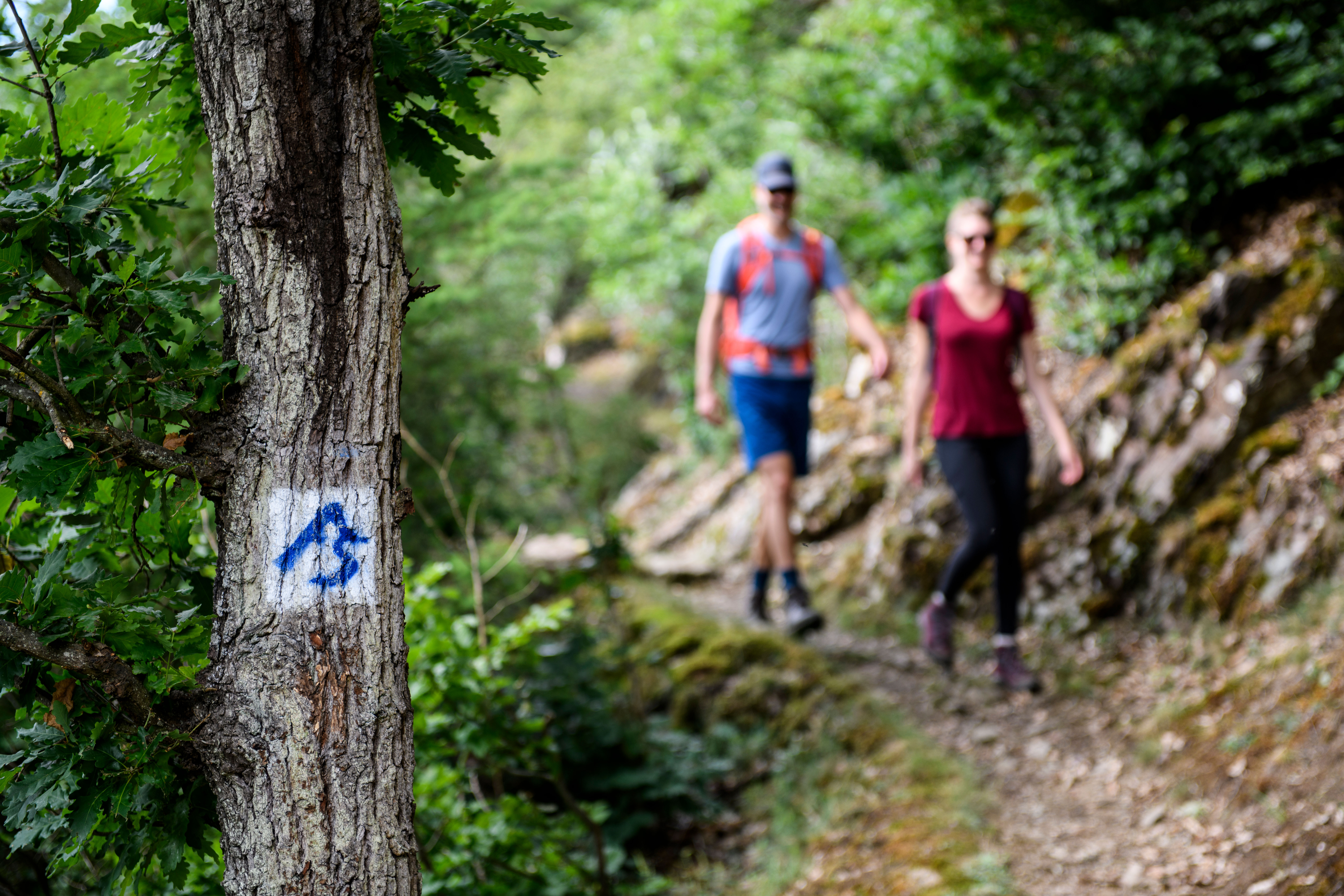
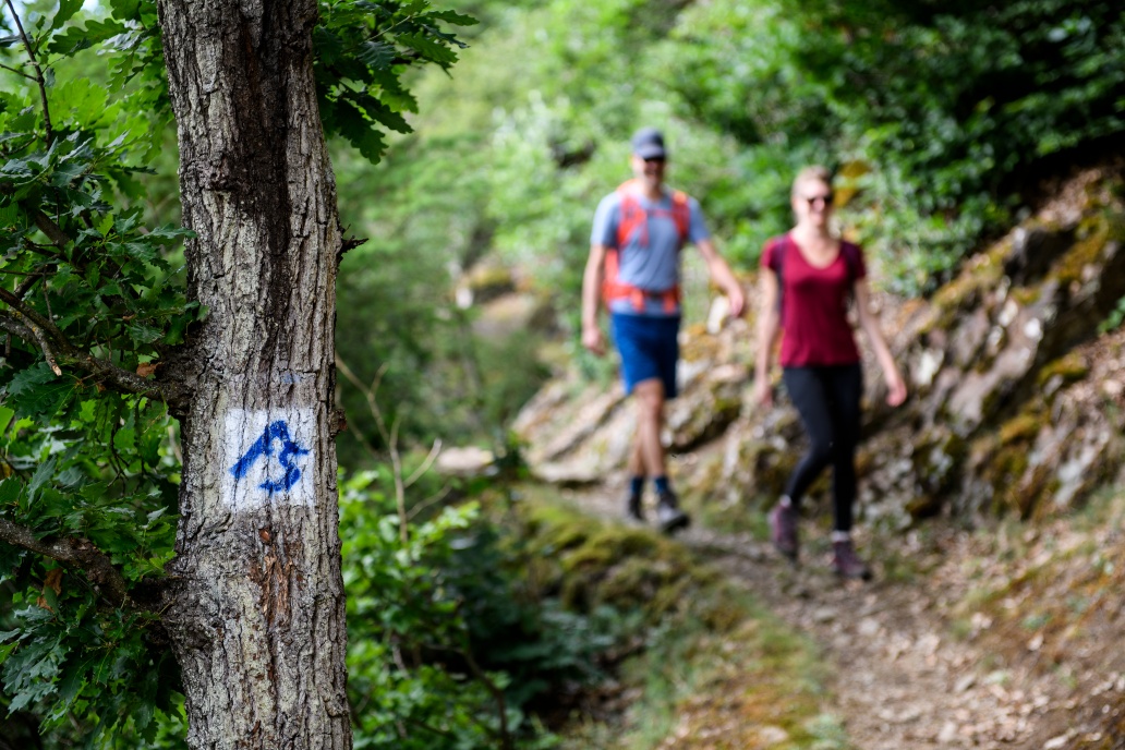
Due to a damaged bridge, the section of road through Eichenbach must be diverted. Follow the "Detour" signs here. The construction work to repair the flood damage in the village of Schuld means that the AhrSteig cannot always be clearly marked. The riverside path near Insul is closed due to damage caused by the flood disaster. Please use the signposted diversion via the Ahr cycle path.
Right at the beginning, we are greeted by the promising ascent to the plateau of the Aremberg, one of the highest extinct volcanoes in the Eifel. Only overgrown wall remains, ditches, and a mysterious avenue suggest that once a mighty castle complex crowned the summit of the mountain. The – mostly locked – observation tower dates from a later period. The key can be obtained in the village. Very close to the tower, we leave the plateau on a narrow path. Under our feet, we feel the ancient stone of former castle walls. As soon as we encounter a forest trail, it goes steadily downhill to Eichenbach. In the small picturesque village, we visit the sandstone sculpture of Bläke Fritz. The quick-wittedness of this tinsmith, known throughout the entire Ahr valley for his humor, is preserved in numerous anecdotes. For this, we follow a short detour from the main route at the guesthouse zum Wiesengrund on Ahrtalstraße about 500 meters downhill. Passing the chapel of the 14 Helpers, we now go up to the high plateau of the Mertesnück. To the left, the eye enjoys the wooded hills above the Dreisbachtal. And soon we dive back into the forest. With wide hairpin bends, we make the descent down into the valley of the Ahr, which we cross at the small hamlet of Streitenau. Here begins one of the most beautiful, because most adventurous sections of the AhrSteig. After a brisk climb in the Schulder Hardt, our path winds along partly steep slopes over slightly exposed rocky cliffs and along vertical sandstone walls. We reach the idyllic village of Schuld, located in the basin of the valley. Off the path, the open-air theater and the Schorn chapel tempt visitors. Now it is time to stop at one of the friendly local establishments. After the rest break, we stroll along the Ahr riverbank on a path from which we have a beautiful view of the wide Ahr loop surrounding the old town center. Enough adventures? Far from it. Once more, it goes uphill demanding physical fitness through beech forest until we have climbed the adventurous rock area of Spicher Ley. From here, our view falls westward on the green of the surrounding meadows. In the background, the Aremberg greets us, from where we started in the morning. One last time, we touch the outskirts of Schuld, then we go back into the forest landscape until shortly before Insul we descend to the Ahr riverbank, which here also greets us with mighty sandstone cliffs on the opposite shore. On the bank structure of the otherwise largely natural Ahr, we reach the village with the strangely sounding name. It is probably derived from Insel (island) because the place was once supposedly surrounded by a side arm of the Ahr.
Note: Detours in the Eichenbach and Insul areas as well as construction work in the village of Schuld (as of 23.09.2025)
Due to a damaged bridge, the section through Eichenbach must be detoured. Follow the marking "Umleitung" (detour) here. The riverside path at Insul is closed due to damage caused by the flood disaster. Please use the signposted detour via the Ahr cycle path.
- ZG Vielseitig Aktive (L)
- ZG Aktive Naturgenießer (L)
- ZG Kultur- und Landschaftsliebhaber (L)
- ZG Nur Wanderer (L)
- ZG Städte-Genießer (L)
- Long-distance hiking trail
- Culture highlight
- Botanical highlights
- Geological highlights
- Refreshment stop
- promising
- Hiking

source
Ahrtal-Tourismus Bad Neuenahr-Ahrweiler e.V.
·
Author:
Hans-Joachim Schneider















Contact us
Ahrtal-Tourismus Bad Neuenahr-Ahrweiler e.V.
Oberstr. 8
53474 Bad Neuenahr-Ahrweiler
Tel.: 02641 / 9171-0
info@ahrtal.de

