EN
EN

Tour
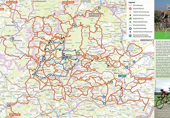
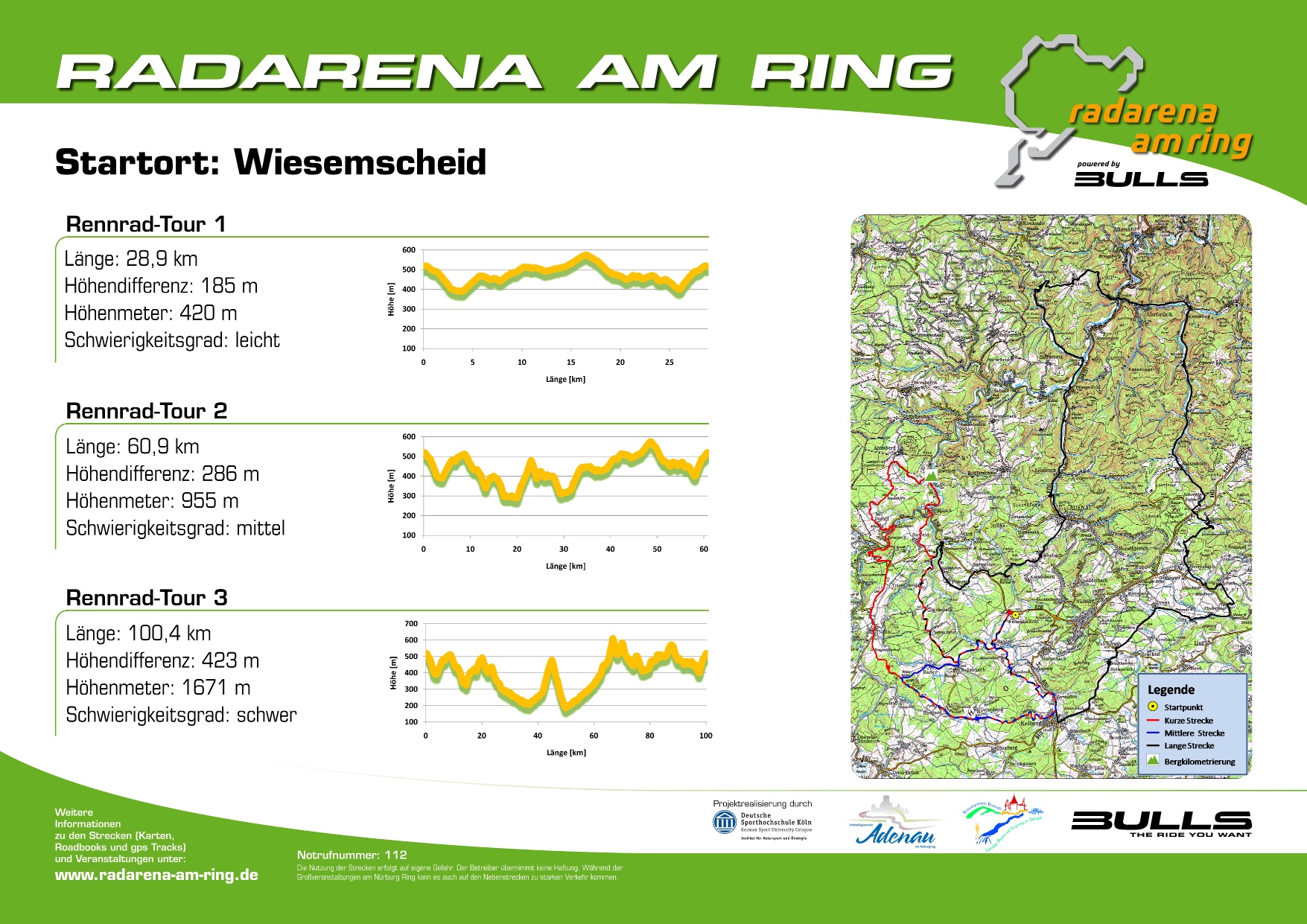
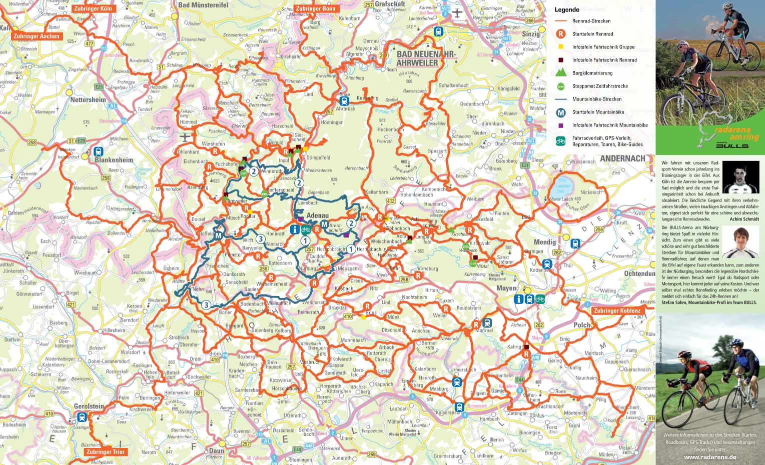
Radarena am Ring: Start in Wiesemscheid, Road bike route 2
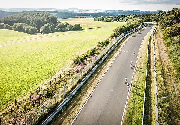
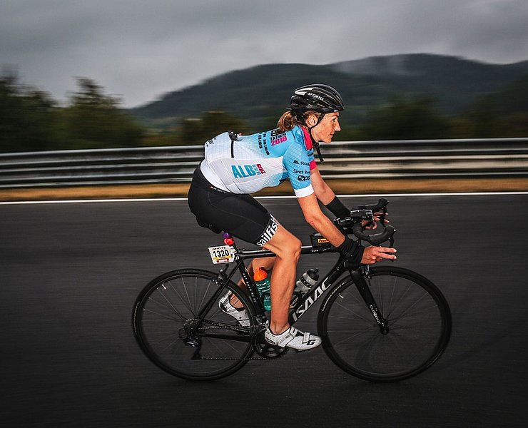
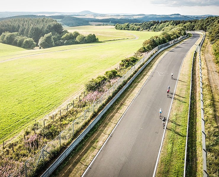
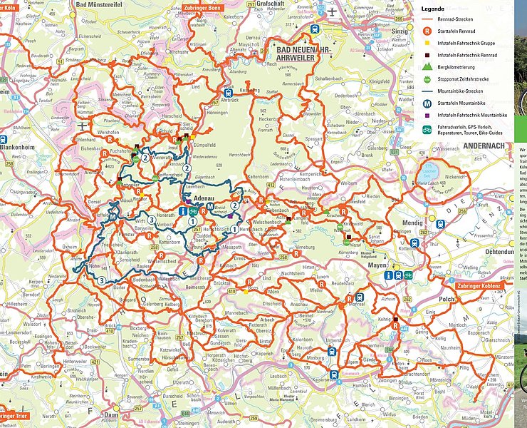
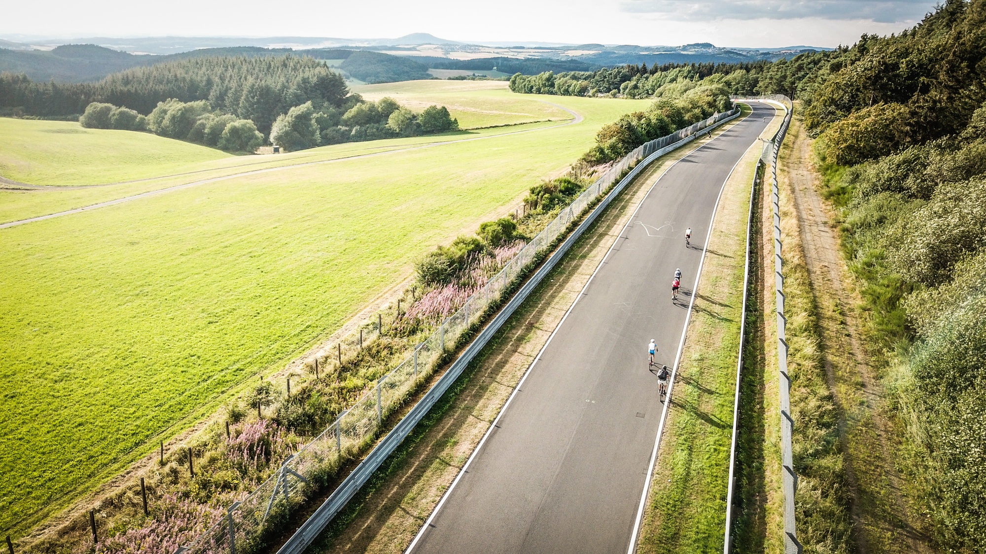
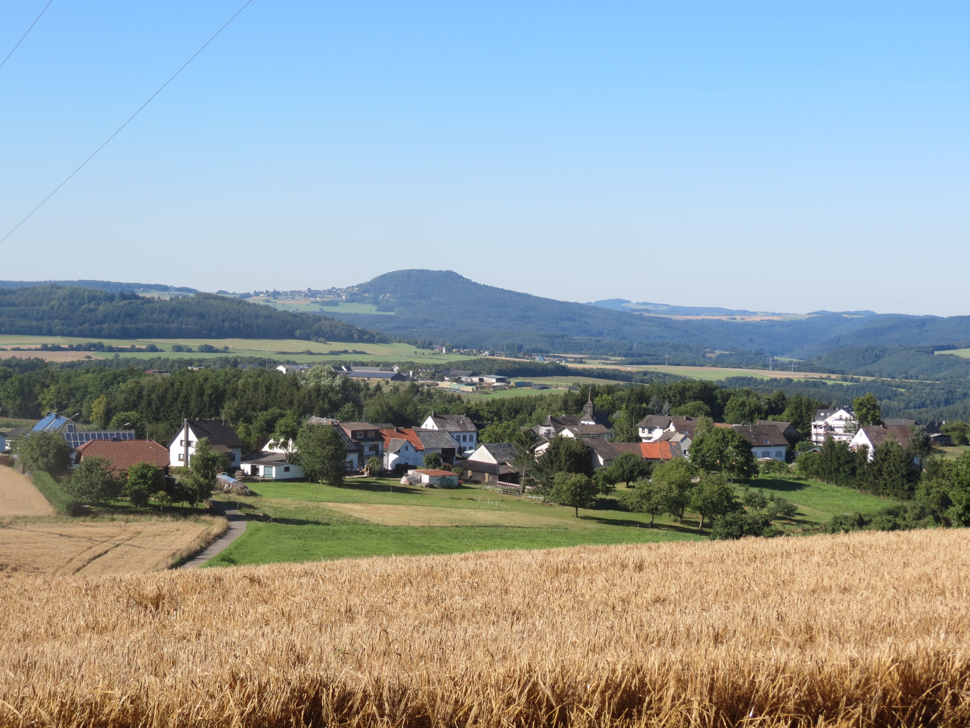
The cycle path network of the Radarena am Ring and many quiet roads in beautiful countryside offer great opportunities for cyclists of all kinds. Flat routes through river valleys and along former railway tracks contrast with the hilly upland landscape. Extreme climbs are offered in the area around the Nürburgring and Hohe Acht.
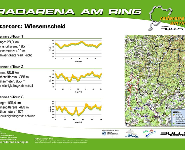
From the start point in Wiesemscheid, it initially goes after a short descent towards Bauler, then continues with a lively up and down through the varied upland landscape of the Hocheifel region.
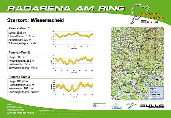
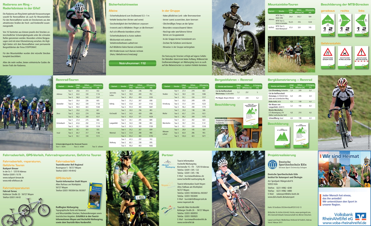
Over a total distance of 60.9 km, 955 metres of altitude are covered. The altitude difference is 286 m, and the route is classified as "medium" difficulty.
Other routes in the Radarena am Ring are possible from the start point Wiesemscheid:
- Road bike route 1: Length 28.9 km / Difficulty: easy
- Road bike route 3: Length 100.4 km / Difficulty: hard
Route: Wiesemscheid – Bauler – Bodenbach – Dankerath – Trierscheid – Hoffeld – Müsch – Antweiler – Dorsel – Nohn – Bongard – Kelberg – Zermüllen – Rothenbach – Bauler – Wiesemscheid
Start (and finish): km 0.0 Wiesemscheid, Hauptstraße 23 straight into Schulstraße towards Bauler, km 0.3 Wiesemscheid town exit left into K2 towards Bauler, km 2.7 Bauler town exit right onto agricultural road towards Bodenbach km 5.8 Bodenbach town entrance right into Hauptstraße/L72 towards Senscheid, km 10.1 junction K1 (Dankerath town exit) right towards Adenau (remain on L72), km 13.6 junction L10 left into L10 towards Nohn, km 14.4 junction L10 straight into K4 towards Hoffeld, km 15.0 Hoffeld town centre straight into Hauptstraße/K4, km 17.4 Müsch town entrance right into Brückenstraße, then straight over B258 into Ahrstraße, km 17.5 Müsch town centre right into Ahrstraße/L73 towards Antweiler, km 19.9 Antweiler (junction Rodderweg/K15 towards Rodder) straight (remain on Ahrtalstraße), km 20.1 Antweiler town centre left into Aremberger Straße/K6 towards Aremberg, km 23 junction Lenzenhof/K5 left into Lenzenhof/K5 towards Dorsel, km 29.1 crossing K5/B258 right until Dorseler Mühle km 30 turn left, just after Ahr bridge turn right onto cycle path towards Ahrdorf, km 31.4 crossing cycle path/country road left into L167 towards Nohn, km 34.4 junction L10 right into L10 towards Nohn km 36.7 junction L10 straight into L70 towards Nohn, km 38.3 Nohn town exit straight into Kelberger Straße/L70 towards Kelberg, km 41.5 junction K86 straight into L70 towards Kelberg, km 44.6 Bongard town exit straight into Blankenheimer Straße/L70 towards Kelberg, km 46.9 crossing L70/L72 straight into L70 towards Kelberg, km 51.4 Kelberg left into Bonner Straße towards Nürburg, km 51.8 Kelberg town exit left into An der B257/B257 towards Nürburg, km 52.8 Zermüllen town centre left into Im Garten towards Rothenbach, km 53.4 junction cycle path right into cycle path towards Rothenbach, km 54.3 junction cycle path left into cycle path towards Rothenbach, km 56.4 Rothenbach town entrance left into Talstraße, km 56.6 Rothenbach town centre right into Alte Poststraße towards K87, km 56.7 Rothenbach town exit left into K87 towards Bauler, km 57.2 Meisenthal remain on K87, km 60.7 Wiesemscheid right into Schulstraße towards town centre, km 60.9 End of route: Wiesemscheid, Hauptstraße 23
- Racing bike
- Cycling

source
Eifel Tourismus GmbH
·
Author:
Daniela Schmitz / Tourist-Information Hocheifel-Nürburgring