EN
EN

Tour
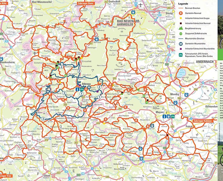
Radarena am Ring: Start in Insul, Road bike route 3
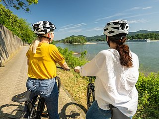
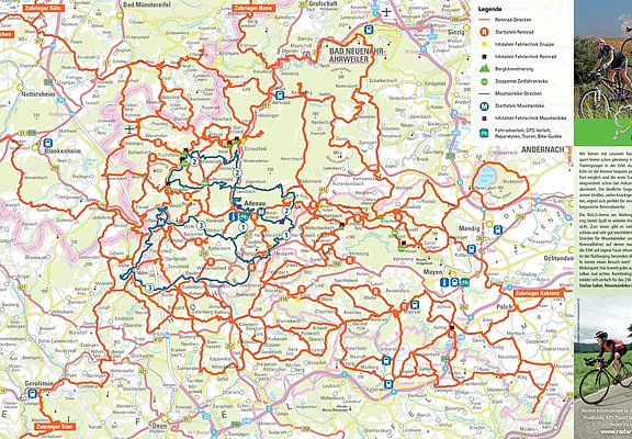
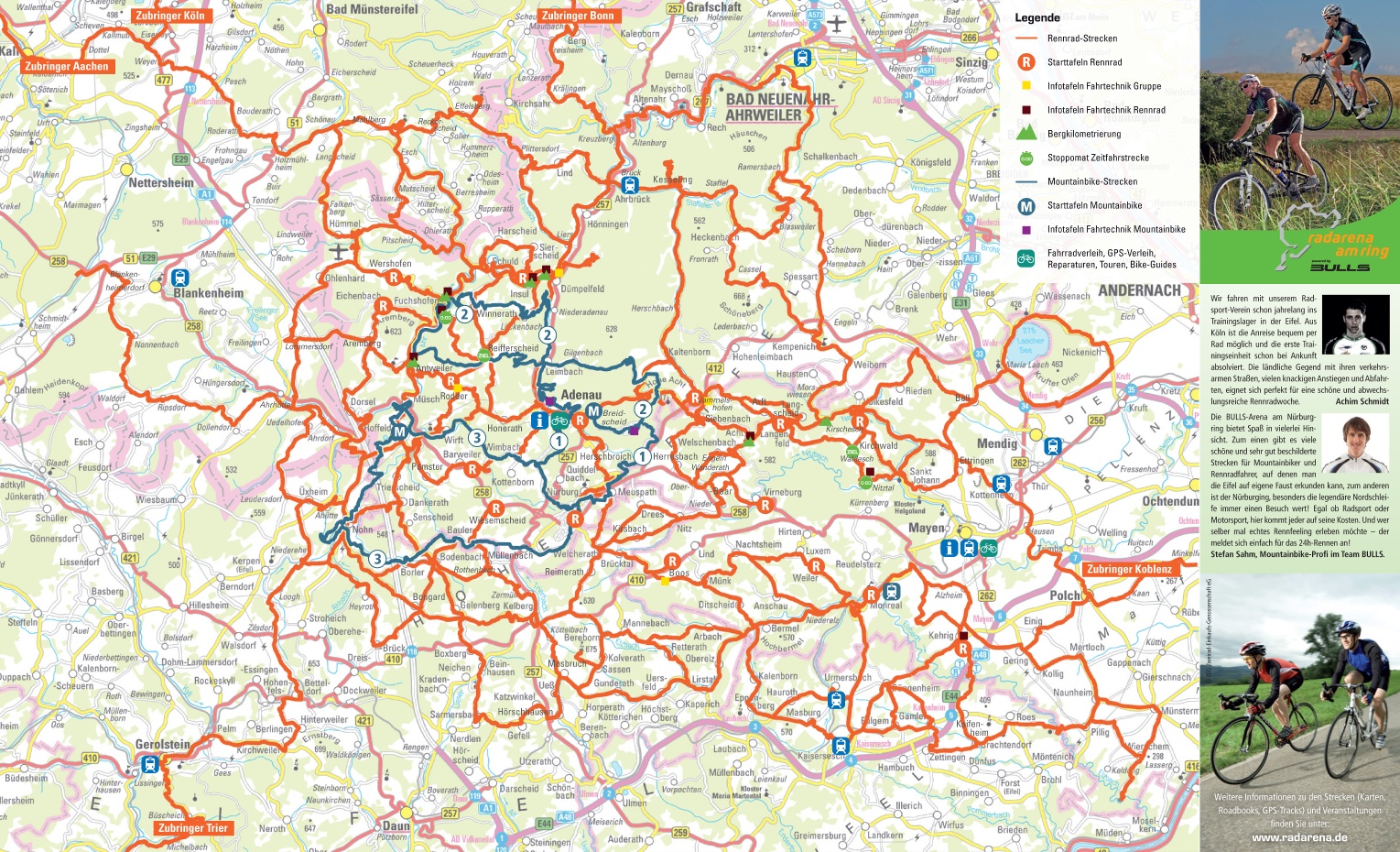
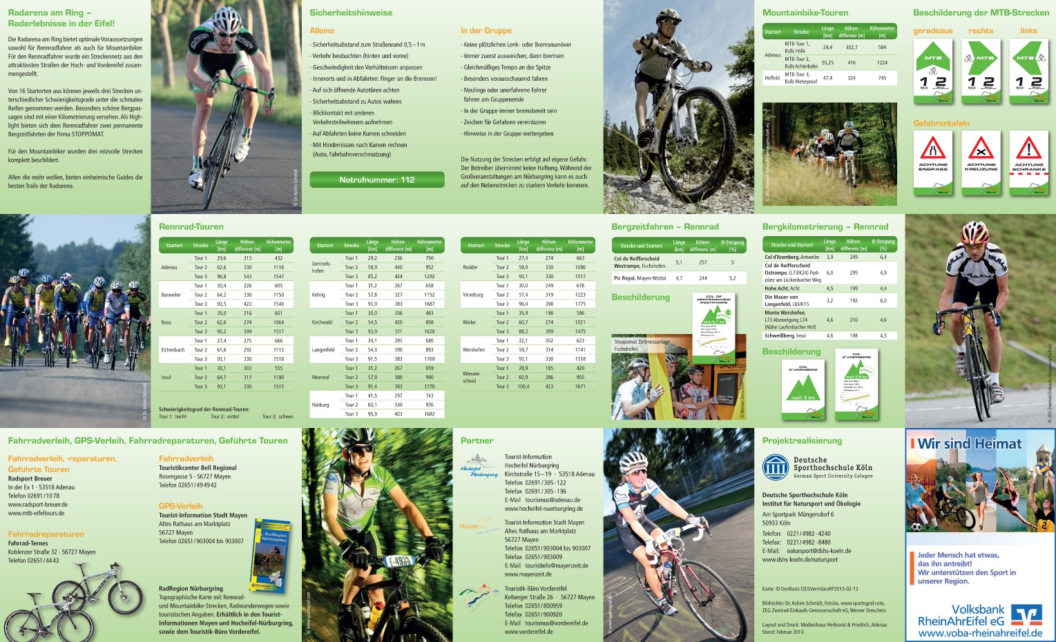
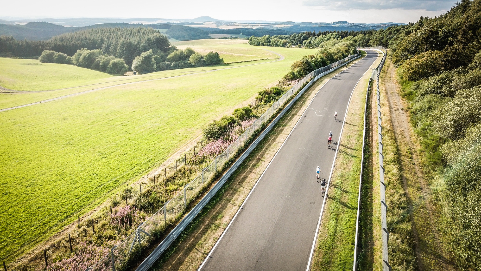
The cycle path network of the Radarena am Ring and many quiet roads in beautiful scenery offer cyclists of all kinds great opportunities. Flat routes through river valleys and on former railway tracks contrast with the hilly low mountain landscape. Extreme climbs are offered around the Nürburgring and the Hohe Acht.
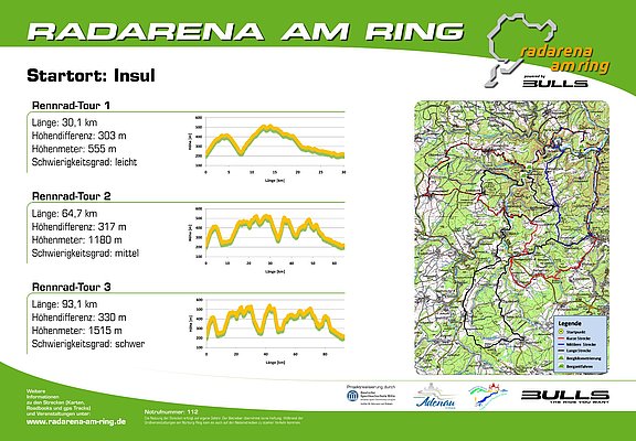
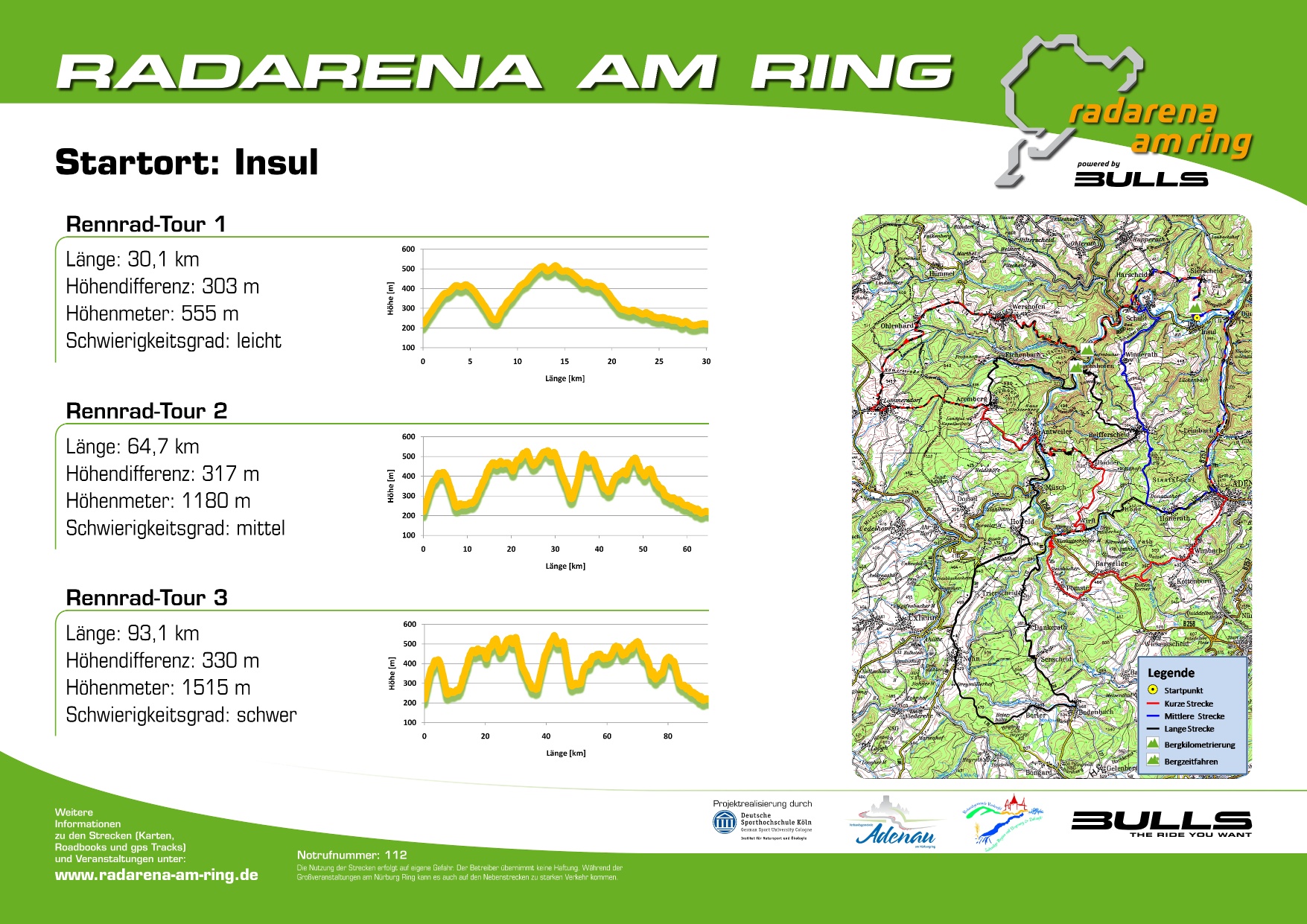
From the starting point in Insul, it initially goes steeply uphill to the high-altitude town of Sierscheid. The Schweissberg lives up to its name in a length of 4.56 km. The route impresses with the special charm of the Ahr river valley and the heights of the Ahr hills with fantastic distant views.
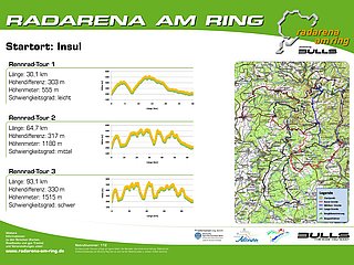
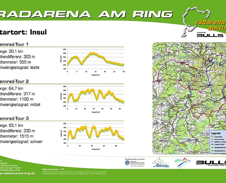
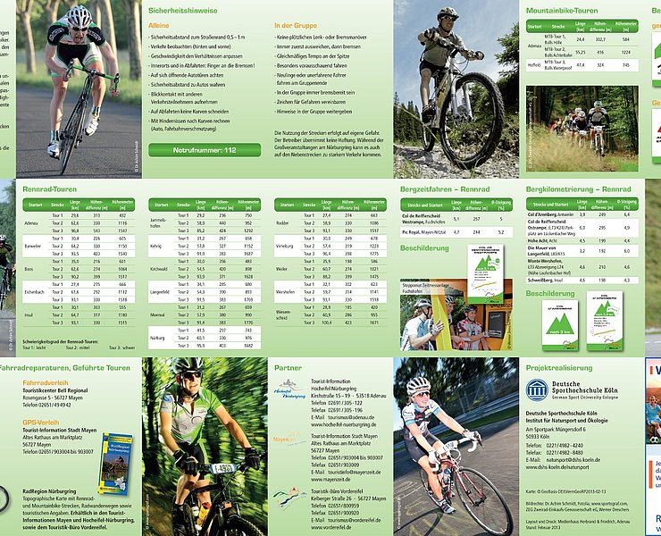
Over a total route length of 93.1 km, a remarkable 1515 m of altitude is covered. The height difference is 330 m. The route is rated as "difficult".
Further routes are possible in the Radarena am Ring from the starting point Insul:
- Road bike route 1: Length 30.1 km, difficulty level easy
- Road bike route 2: Length 64.7 km, difficulty level medium
Route: Insul – Sierscheid – Harscheid – Schuld – Wershofen – Ohlenhard – Lommersdorf – Aremberg – Eichenbach – Fuchshofen – Reifferscheid – Rodder – Antweiler – Müsch – Hoffeld – Nohn – Borler – Bodenbach – Dankerath – Trierscheid – Wirft – Honerath – Adenau – Leimbach – Niederadenau – Dümpelfeld – Insul
km 0.0 Start (and finish): Insul, Brückenstraße 10 straight on Brückenstraße/K25 direction Sierscheid km 2.6 Sierscheid town center turn left onto Harscheider Straße/K25 direction Harscheid km 4.6 Harscheid town entrance turn left onto Talstraße/K26 direction Schuld km 7.5 Schuld turn right onto Hauptstraße/L73 direction Fuchshofen km 8.1 Junction Münstereifeler Straße/L75 turn left direction Fuchshofen (stay on L73) km 11.2 Junction L74 turn right onto L74 direction Wershofen km 17.9 Junction L74 straight on K9 direction Ohlenhard km 23.0 Junction K8 straight into agricultural path direction Lommersdorf km 24.5 Lommersdorf town entrance turn right into Nippes km 24.9 Lommersdorf town entrance turn left into Freilinger Straße km 25.5 Lommersdorf town center turn left into Neuhofer Straße km 25.6 Lommersdorf town center turn right into Aremberger Straße/K7 direction Aremberg km 29.7 Aremberg town entrance turn left into Burgstraße/K5 direction Eichenbach km 30.0 Aremberg turn left into Eichenbacher Straße/K5 direction Eichenbach km 32.2 Eichenbach remain on K5 km 35.3 Junction L73 turn left onto L73 direction Schuld km 37.0 Fuchshofen town entrance turn right onto Hauptstraße/K17 direction Reifferscheid km 43.0 Reifferscheid town center turn right onto Rodderweg/K16 direction Rodder km 45.2 Rodder town center turn right onto Rosenstraße/K15 direction Antweiler km 48.5 Antweiler turn left onto Ahrtalstraße/L73 direction Müsch km 51.0 Müsch town entrance turn left into Ahrstraße km 51.2 Intersection B258 straight across B258, then left into K4 direction Hoffeld km 53.4 Hoffeld town center straight onto Hauptstraße/K4 km 54.1 Junction L10 turn right onto L10 direction Nohn km 56.2 Junction L167 straight on L10 direction Nohn km 58.8 Junction L10 straight onto L70 direction Nohn km 60.4 Nohn town exit straight onto Kelberger Straße/L70 direction Kelberg km 63.5 Junction K86 turn left onto K86 direction Borler km 66.9 Bodenbach town center turn left onto Hauptstraße/L72 direction Senscheid km 71.4 Junction K1 (Dankerath town exit) turn right direction Adenau (stay on L72) km 75.0 Junction L10 turn right onto L10 direction Adenau km 75.7 Intersection Kirmutscheid (L10/B258) straight onto L10 direction Adenau km 79.7 Junction K15 turn right direction Adenau (stay on L10) km 80.3 Junction K17 straight direction Adenau (stay on L10) km 83.8 Adenau town entrance (DRK Adenau) turn left onto Hauptstraße/B257, then right (DRK) and immediately left into Am Alten Wehr (parallel to the federal road) km 84.9 End of Adenau industrial area turn left onto cycle path (behind turning circle) km 85.0 Cycle path turn right onto cycle path direction Leimbach km 86.4 Leimbach town center straight across B257 onto cycle path direction Dümpelfeld km 89.4 Niederadenau town entrance turn left onto Wiesenweg/cycle path km 91.2 Dümpelfeld town center turn right onto Hauptstraße, then left onto Ahrstraße/cycle path km 91.4 Dümpelfeld town exit turn left onto cycle path, then left direction Insul km 93.1
End of route: Insul, Brückenstraße 10
>>Current detour Lommersdorf: Lommersdorf town entrance turn left into Nippes, 2nd right into Neuhofer Straße, then left onto Aremberger Straße/K7 towards Aremberg


- Racing bike
- Cycling

source
Eifel Tourismus GmbH
·
Author:
Daniela Schmitz / Tourist-Information Hocheifel-Nürburgring