EN
EN



Wanderweg
On forest paths and observation towers in Bad Neuenahr
The hike includes some moderate ascents/descents (see altitude profile)
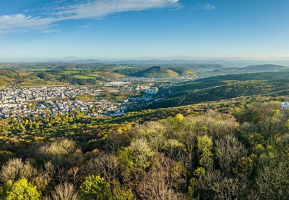
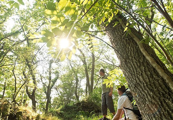
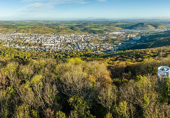
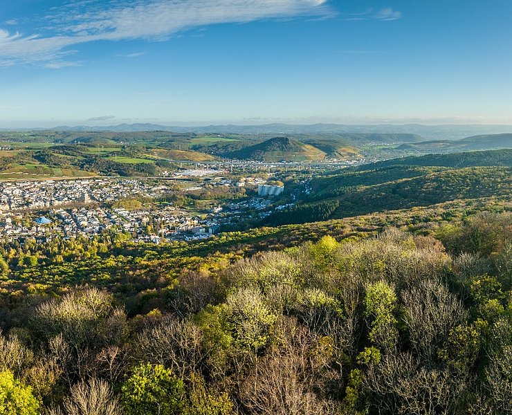
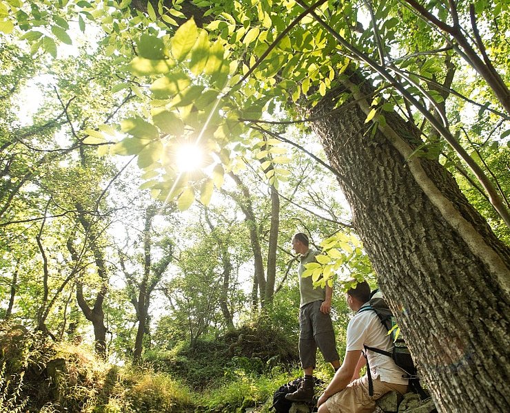
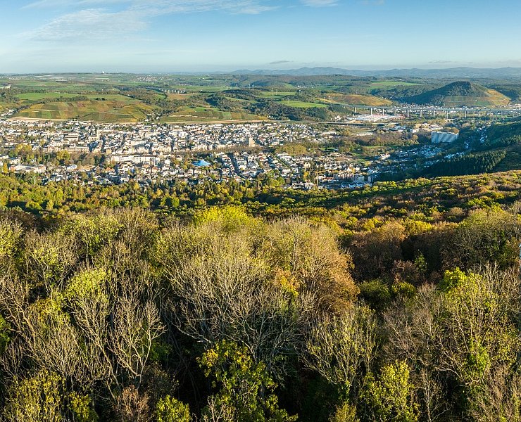
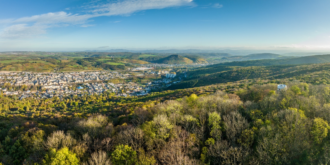
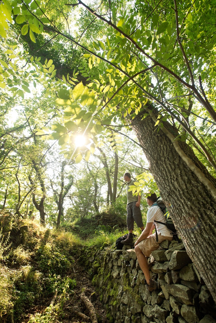
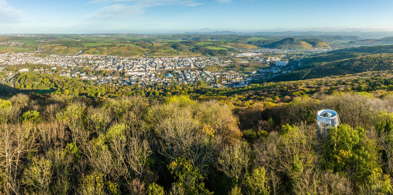
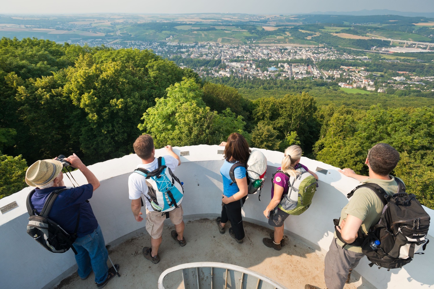
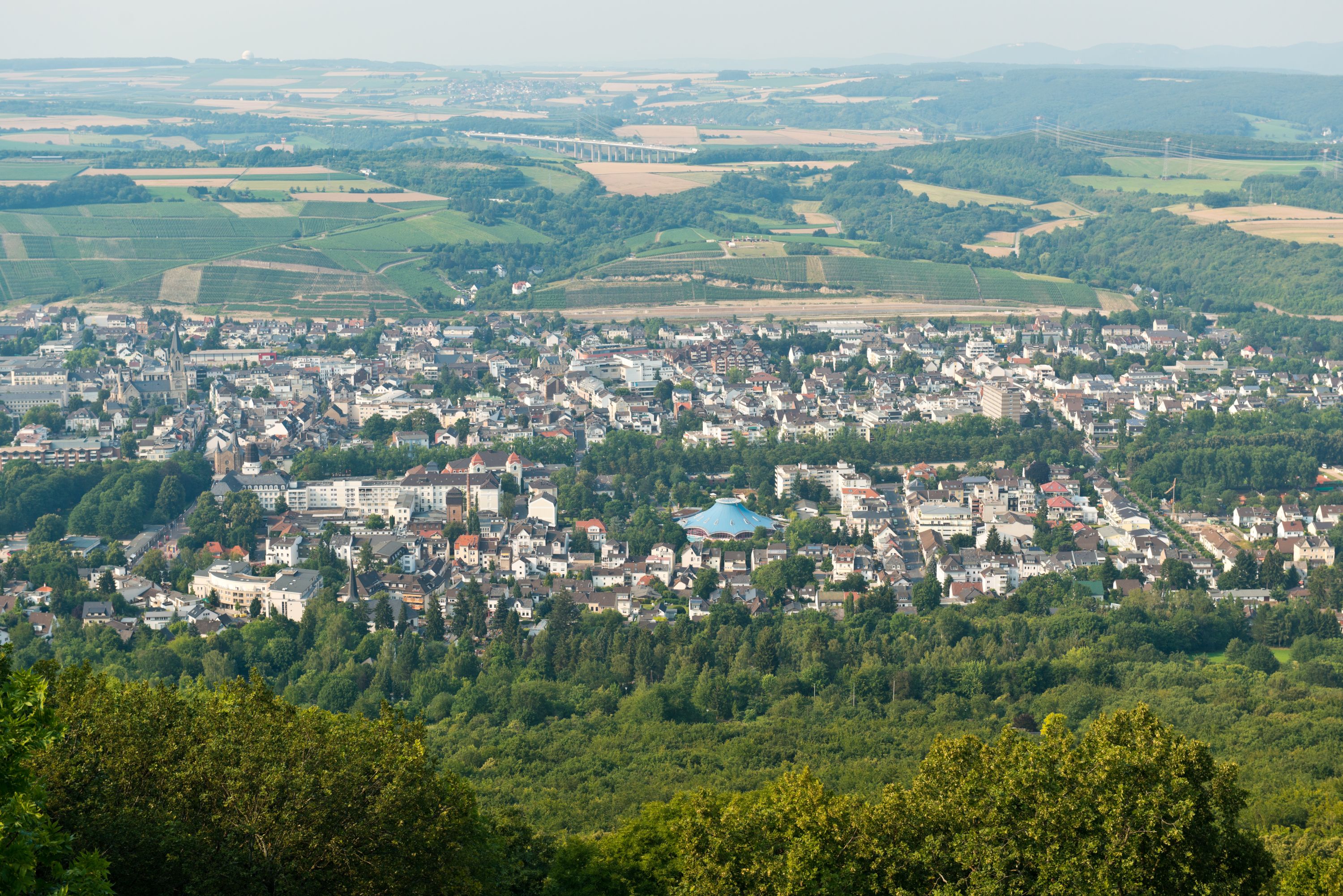
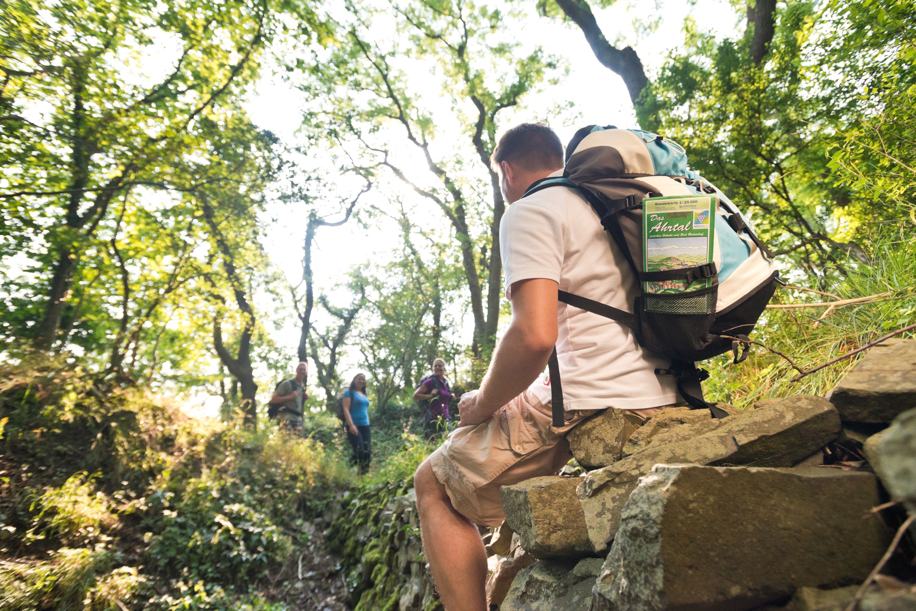
The hike runs through open mixed forest on varied paths over the heights in the south of the spa town. The observation towers on the way at Steckenberg (371 m) and Neuenahrer Berg (340 m) offer a beautiful panoramic view of the Ahr valley, the Grafschaft, and the Rhine heights.
The hike includes some moderate climbs and descents (see elevation profile).
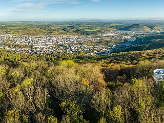
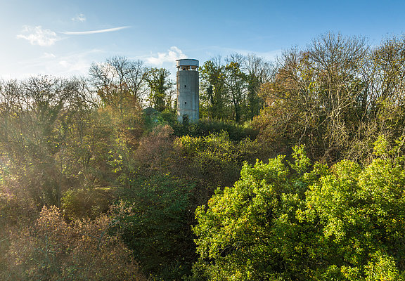
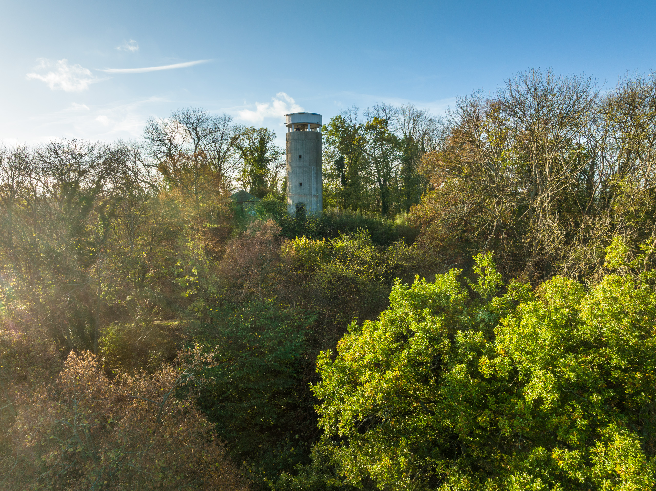
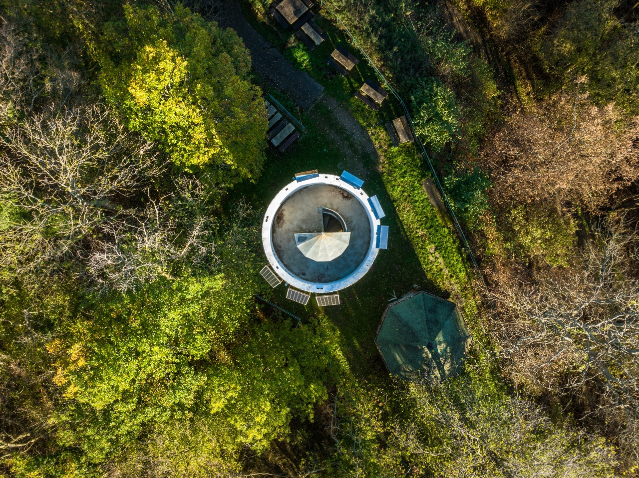
From Willibrordusstraße, walk opposite the church on the right along a narrow bitumen path ("Bischofsweg") past the cemetery uphill to the L83 road. Opposite, continue right next to the bench on the Bischofsweg uphill towards Steckenberg. Past the car park for hikers, follow the sign Kletterpark slightly uphill to the shelter at the Paradieswiese and the entrance to the forest climbing park (220 m, 1.2 km). Here you meet the AhrSteig, which you now follow straight ahead for a short distance: first along the meadow, then uphill to the right on the bitumen path. Where the AhrSteig branches off to the left uphill, the hiking trail continues straight ahead and after a short distance you reach the Osteifelweg of the Eifelverein (290 m, 1.9 km), which you now follow to the right to the Steckenberg (371 m, 3.5 km). The short ascent to the viewing tower is rewarded with a beautiful view of Bad Neuenahr and across to the county and the Rhine heights.
From the tower, follow the Osteifelweg straight ahead. After 200 metres, a path leads off to the left to the climate station, the former air therapy station of the spa. (Opportunity to stop for refreshments at the weekend).
Following the path, you soon reach a wide crossroads (opposite the Bloser Hütte), where you continue half-left and reach the Landstraße L83 after 1 km (4.9 km). Follow this road to the right and after 100 metres turn right onto the forest path. At the next fork in the path, leave the Osteifelweg and continue along the narrow path on the left, parallel to the road. This path, lined with holly bushes, joins the Ahr-Venn-Weg ( < , 11 ) of the Eifelverein, which you now follow to the left. After crossing the L 83 country road, continue straight ahead and soon there is a small group of benches at a wayside shrine where you can take a break (360 m, 6.2 km). It is quite entertaining to "browse" through the hiking books housed there.
After another 1.8 km, turn off the Ahr-Venn-Weg ( < , 11) half-left onto the wide forest path (A4). After a short distance you reach a 4-way junction (300 m, 8.3 km). Immediately before this, you will see the Georgius (Schreiber) cross on the right, a basalt cross dating from 1747. Here, turn half-left off the A4 path onto an unmarked forest path (sign Zum Idienbachtal, Schossgraben)..At the next fork, turn right downhill and the path soon runs above the deeply incised Schossgraben; it ends at the road in the Idienbach valley, where it continues to the right on path R1. Shortly after passing fish ponds and a house, you come to the AhrSteig (120 m, 10.2 km), which you now follow to the left across the stream. This AhrSteig trail marker leads steadily uphill to the Neuenahrer Berg (340 m, 12.8 km).
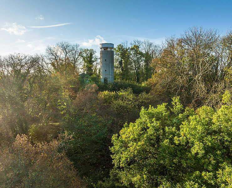
Remains of the moat of the former Neuenahr Castle are visible just before the summit. It was a hilltop castle built around 1225 by Count Otto von Are-Nürburg. It was destroyed in 1372 by order of the Archbishop of Electoral Cologne by the citizen archers of Ahrweiler. At the top of the plateau, benches invite you to take a break and from the observation tower Langer Köbes there is a magnificent distant view of the Ahr valley, Landskrone, the heights on the right bank of the Rhine with the Siebengebirge (the striking light-coloured hotel building). On a clear day, you can see Cologne Cathedral.
For the last section of the trail, follow the Osteifelweg again, which quickly descends along the volcanic cone on a narrow path in several bends before the tower. It crosses the road to Neuenahrer Berg and the L 83 and soon reaches Willibrordusstraße and the starting point at the church.
From Willibrordusstraße, walk right opposite the church on a narrow bitumen path („Bischofsweg“) along the cemetery uphill to the L83 main road. Opposite, turn right next to the bench and continue uphill on the Bischofsweg towards Steckenberg. Past the parking area, follow the sign Kletterpark slightly uphill to the shelter at the Paradieswiese and the entrance to the forest climbing park (220 m, 1.2 km). Here you meet the AhrSteig, which you follow straight ahead for a short distance: first along the meadow, then right uphill on the bitumen path. Where the AhrSteig branches left uphill, the hiking trail continues straight and after a short distance reaches the Osteifelweg of the Eifelverein (290 m, 1.9 km), which you now follow right to Steckenberg (371 m, 3.5 km). The short climb to the observation tower is rewarded with a beautiful view of Bad Neuenahr, the Grafschaft, and the Rhine Heights.
From the tower, continue straight on the Osteifelweg. After 200 m, a path leads left to the Klimastation, the former open-air sanatorium of the spa. (Possibility to stop for refreshments on weekends).
On the further path, you soon reach a wide crossing (opposite the Bloser Hütte), where you continue half-left and after 1 km reach the Landstraße L83 (4.9 km). Follow this road to the right and after 100 m turn right onto the forest path. At the next fork, leave the Osteifelweg and continue on the narrow left path parallel to the road. This path, bordered by holly bushes, leads into the Ahr-Venn-Weg ( <, 11) of the Eifelverein, which you now follow left. After crossing the L83 road, continue straight and soon a small group of benches at a wayside shrine offers a rest (360 m, 6.2 km). Browsing the hiking books housed there is quite entertaining.
After another 1.8 km, turn half-left from the Ahr-Venn-Weg (<, 11) onto the wide forest path (A4). After a short distance, you reach a 4-way junction (300 m, 8.3 km). Just before this, on the right, is the Georgius (Schreiber)-Kreuz, a basalt cross from 1747. Here you turn half-left from the A4 path onto an unmarked forest path (sign Zum Idienbachtal, Schossgraben).
At the next fork, turn right downhill and soon the path runs along the top of the deeply incised Schossgraben; it ends at the driveway in the Idienbachtal, where you turn right onto path R1. Past fish ponds and a house, shortly after you meet the AhrSteig (120 m, 10.2 km), which you now follow left over the stream. The AhrSteig marking steadily climbs to the Neuenahrer Berg (340 m, 12.8 km).
Shortly before the summit, remains of the moat of the former Burg Neuenahr are visible. This was a hill castle built around 1225 by Count Otto von Are-Nürburg. It was destroyed in 1372 by order of the Archbishop of Cologne by the citizen marksmen of Ahrweiler. Benches on the plateau invite you to rest, and from the observation tower Langer Köbes there is a wonderful view over the Ahr valley, Landskrone, the right-Rhine heights with the Siebengebirge (the distinctive light-colored hotel building). On clear days, the Kölner Dom can be seen.
For the final section, follow the Osteifelweg again, which leads downhill quickly on a narrow path with several bends along the volcanic cone before the tower. The driveway to Neuenahrer Berg and the L 83 road are crossed, and soon you reach the Willibrordusstraße and the starting point at the church.
- Round trip
- Hiking trail
- ZG Vielseitig Aktive (L)
- ZG Aktive Naturgenießer (L)
- ZG Kultur- und Landschaftsliebhaber (L)
- ZG Nur Wanderer (L)
- ZG Städte-Genießer (L)
- Family friendly
- promising
- Hiking
- Back for you

source
Ahrtal-Tourismus Bad Neuenahr-Ahrweiler e.V.
·
Author:
Eifelverein Ahrweiler, Heinz Ahrendt