EN
EN

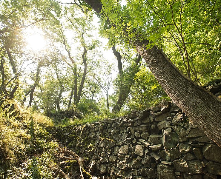
Wanderweg
Medical spa trail MK III - blue
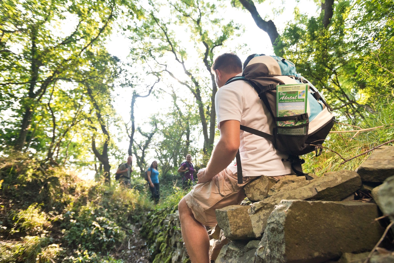
These are often referred to as terrain hiking trails and are ideal for health-oriented hiking.
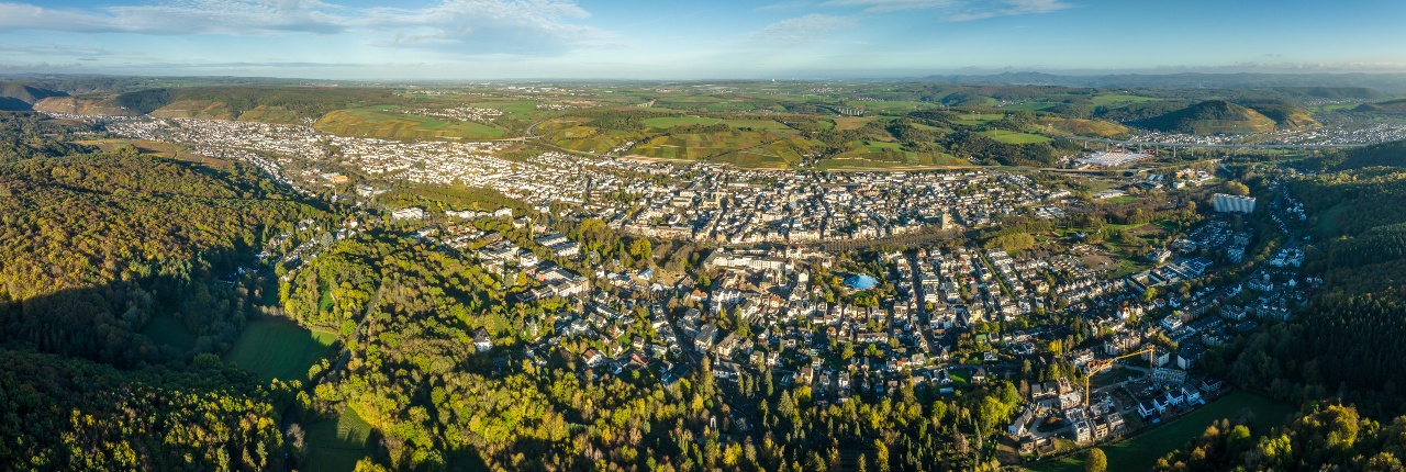
The differentiation of the levels of exertion is color-coded and corresponds to the exertions listed below. All trails start at the Bad Neuenahr spa gardens.
Yellow routes
easy, up to 50 W for 15 min
Through Bad Neuenahr parks (MK I)
To the Josefsbrücke bridge in Walporzheim (MK II) (not yet accessible due to flooding)
Along the Ahr to Heimersheim (MK III) (not yet accessible due to flooding)
Blue routes
medium, 50 to 100 W for 20 min
To the Lourdes Chapel and through Bachem vineyards (MK I)
Around the Maibach farm in Ahrweiler (MK II)
Over the Steckender to the climate station (MK III)
Red routes
difficult, over 100 W for at least 15 min
Over the Neuenahrer Berg (MK I)
To the Landskrone castle ruins (MK II)
To the Bunte Kuh viewing pavilion (MK III) (not yet accessible due to flooding)
To the Katzley viewing pavilion (MK IV) (not yet accessible due to flooding)
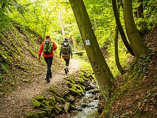
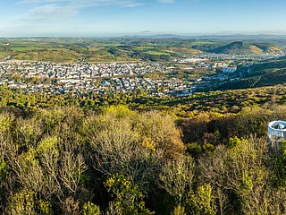
OVER THE STECKENBERG TO CLIMASTATION MK 3 Blau
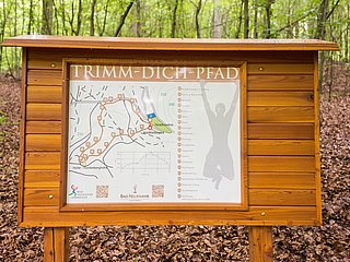
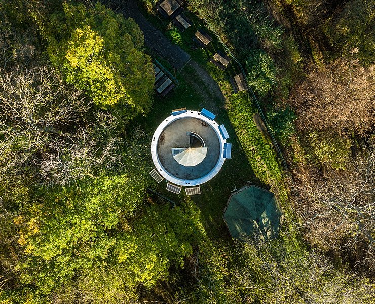
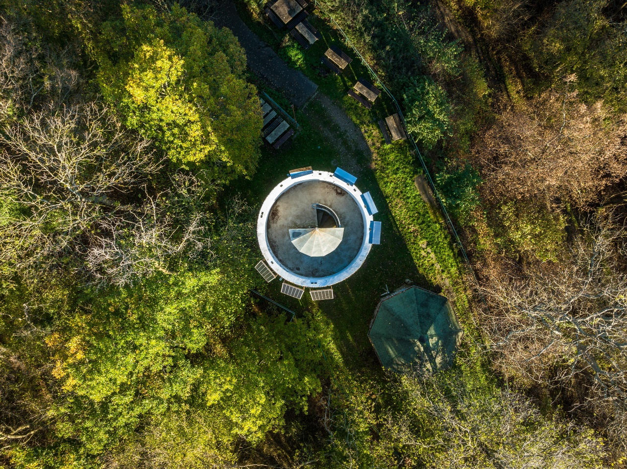
Kurpark - Historic Thermal Bathhouse - City Library - Hochstraße - Burgweg - Hohlweg - Bischofsweg - Paradieswiese - Alte Königsfelder Straße - Kreuzrasthütte - Jakobsweg - Steckenberg tower - Klimastation hiking hut - forest climbing park - fitness trail - Paradieswiese - Kurpark
- Round trip
- Hiking trail
- ZG Vielseitig Aktive (L)
- ZG Aktive Naturgenießer (L)
- ZG Kultur- und Landschaftsliebhaber (L)
- ZG Nur Wanderer (L)
- ZG Städte-Genießer (L)
- Family friendly
- Refreshment stop
- Back for you
- Hiking

source
Ahrtal-Tourismus Bad Neuenahr-Ahrweiler e.V.
·
Author:
Michelle Harrichhausen