EN
EN





Tour
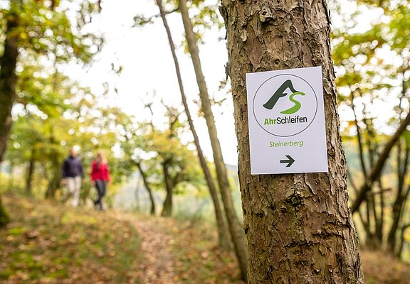
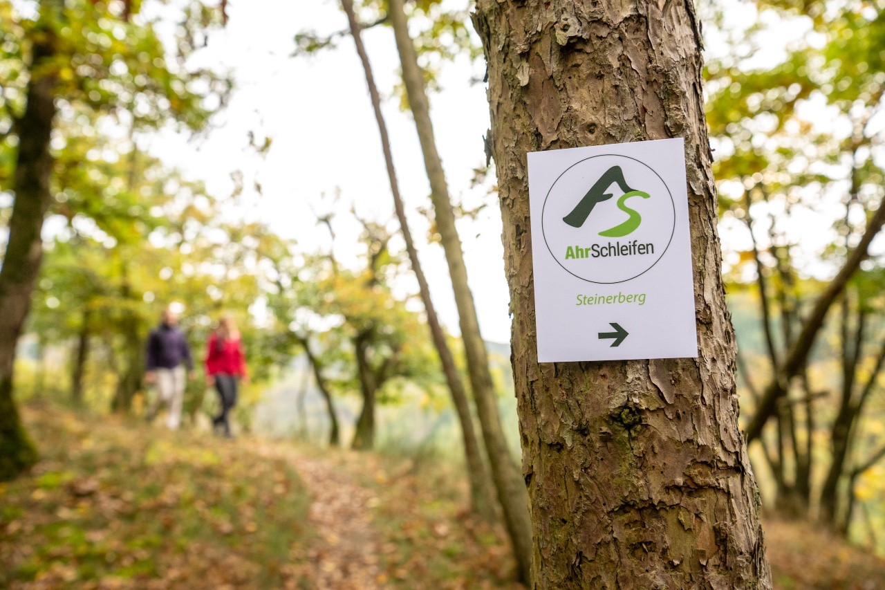
AhrSchleife Steinerberg - Summit happiness on the Middle Ahr
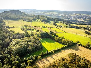
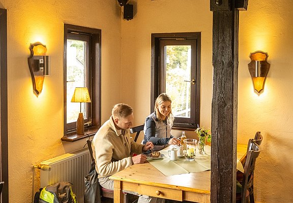
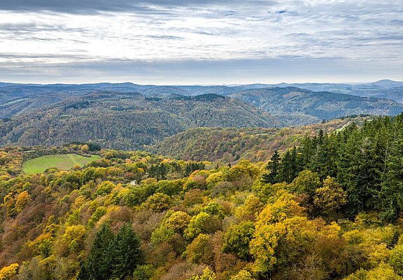
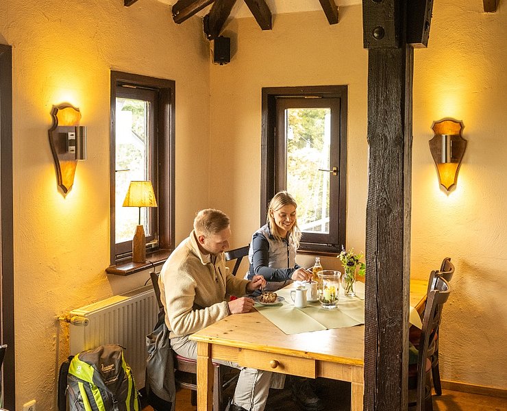
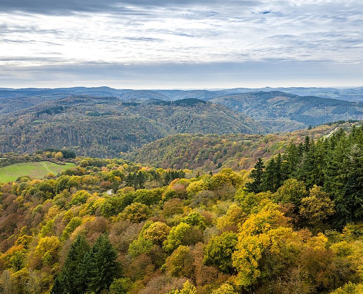
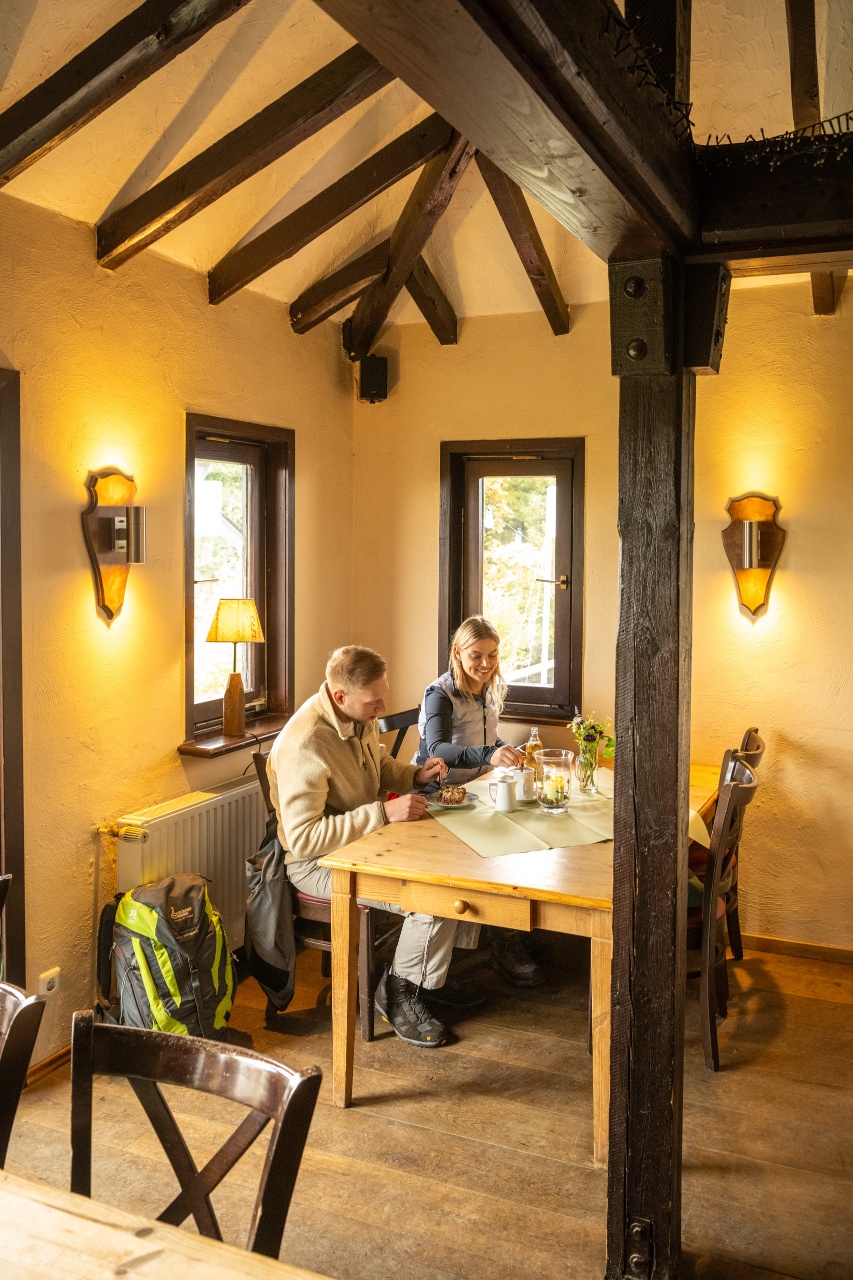
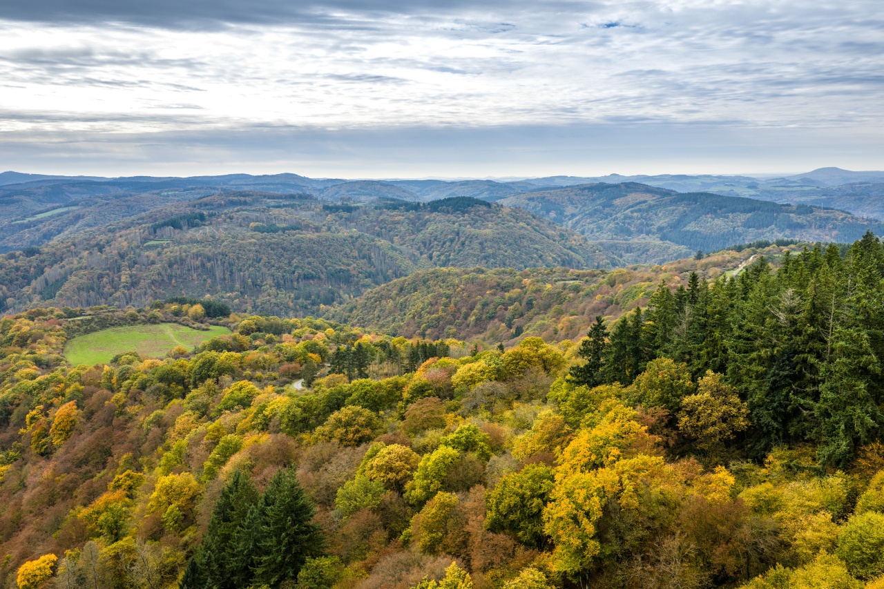
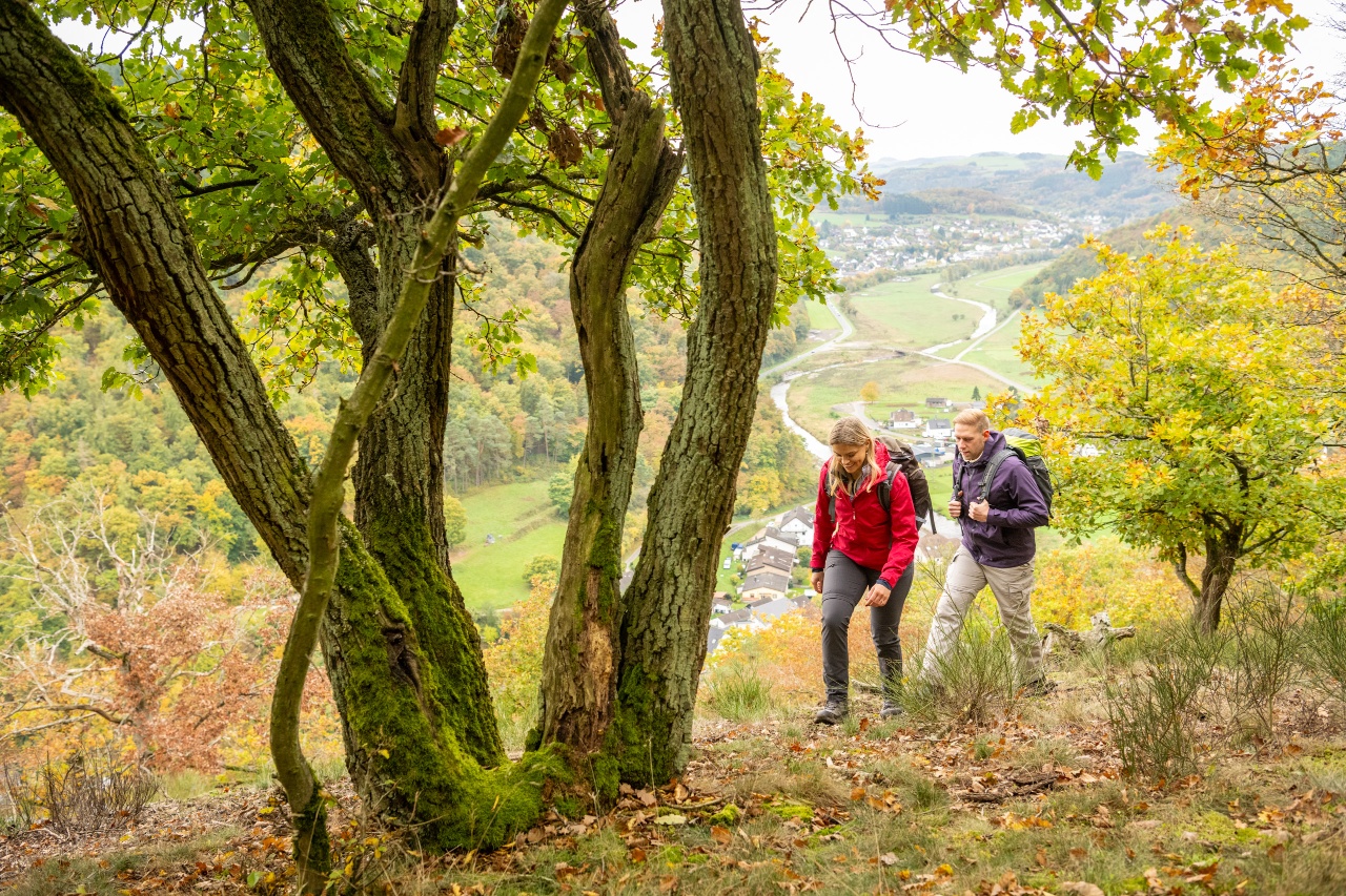
The long ascent to the summit is rewarded with magnificent views over the Ahrgebirge. Right at the summit, the Steinerberghaus beckons - a piece of alpine hut feeling on the Ahr heights with hearty specialties.
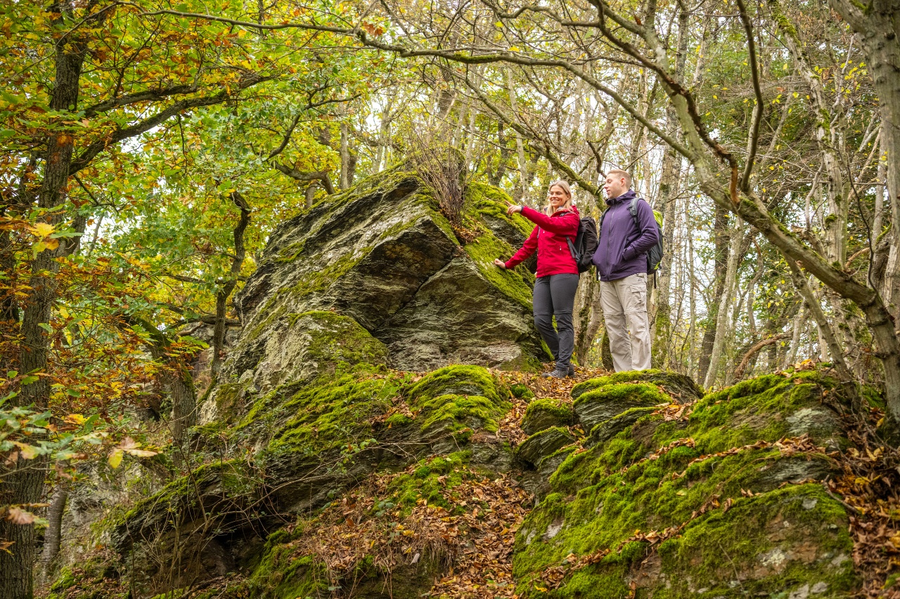
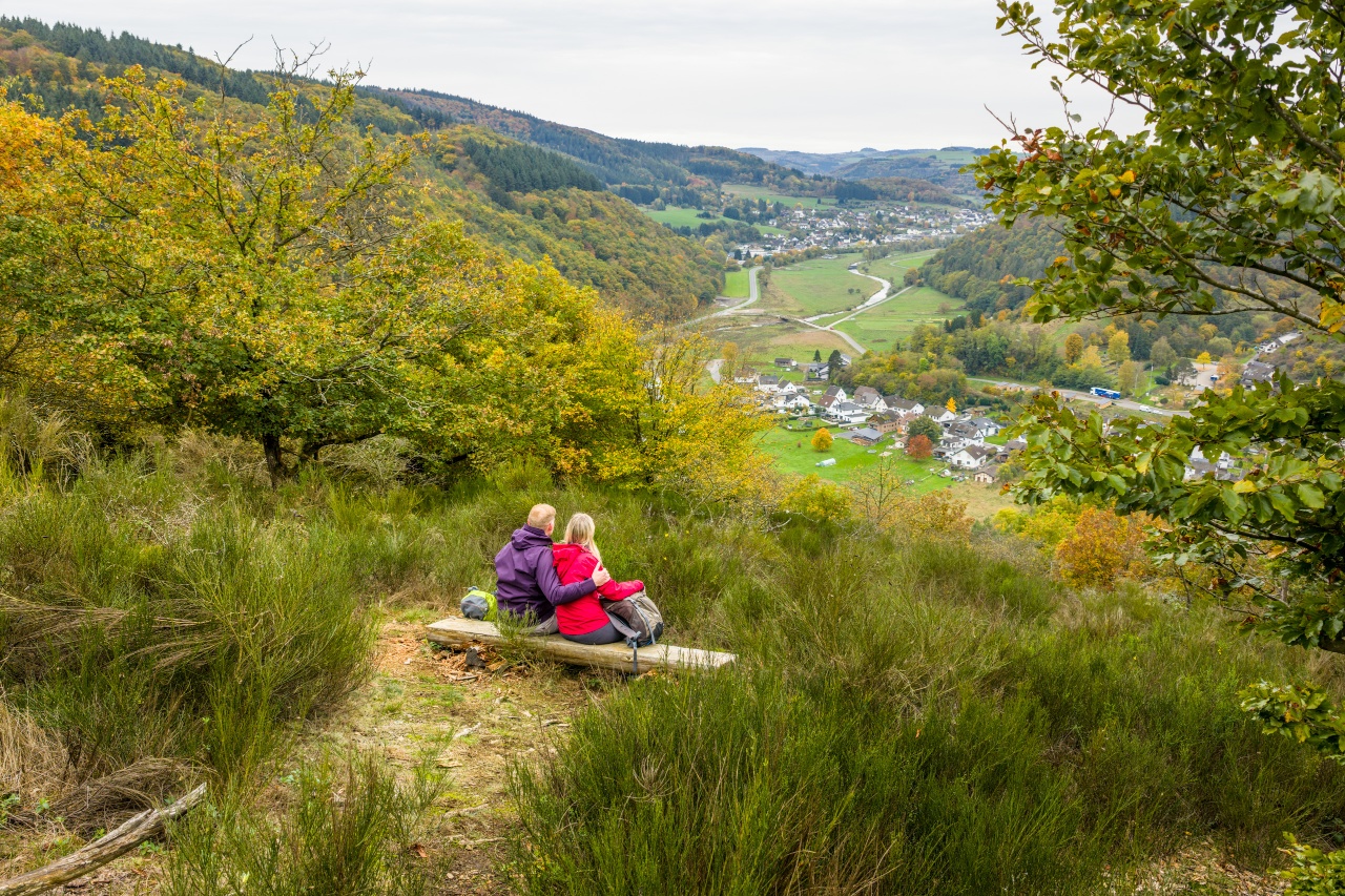
The descent to Kesseling leads past juniper heaths and repeatedly opens up wide views of the valley. On the idyllic path along the Kesselinger stream, the landscape shows its gentle side before a short, crisp ascent to the Silvesterhütte near Ahrbrück. The atmospheric finale is the narrow rocky path with its panoramic ridge passage over the Mühlenberg - a worthy finale to a varied hike.
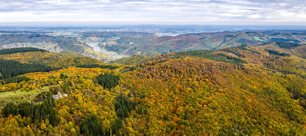
Idyllic forest paths offer repeated views of the valley, the Pützfeld chapel and Kreuzberg Castle. After a hairpin bend, a moderately ascending section follows through fragrant pine and deciduous forests.
At a crossroads, the wide forest path turns into a narrow path. From the north side, a large, open meadow leads directly to the summit of the Steinerberg (531 m) with the Steinerberghaus. From here, there are wide panoramic views over the East and High Eifel as far as the Kesselinger Valley.
After a well-earned rest, the varied descent into the Kesselinger Tal begins. The trail leads through mixed forest, past open meadows and juniper heaths to the idyllically situated Hubertus Chapel in Kesseling.
The imposing parish church of Kesseling greets you from afar. After crossing the country road, the trail leads into the town center, past the "Old Monastery" and the historic rectory. The ascent to the parish church begins at the confluence of the Weidenbach and Kesselinger Bach streams and continues along the new church path back to the stream.
Along the Kesselinger Bach stream, the route climbs gently past a small waterfall that gushes over a rock. The path alternates between sections directly along the stream and a narrow mountain path above the water, past steep slopes, back to Ahrbrück.
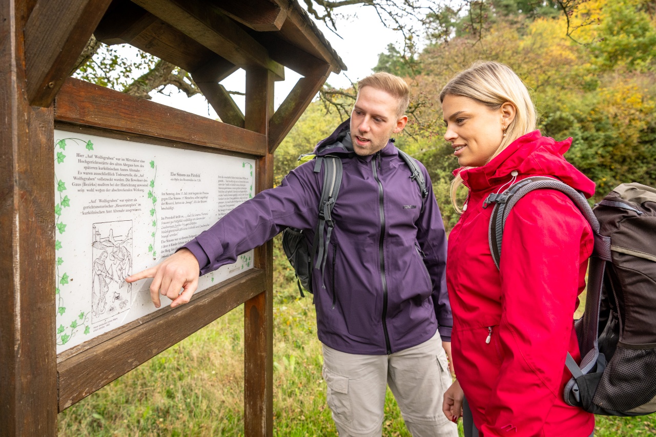
Opposite the Ahrbrück school, the crisp ascent begins via a narrow path to the Silvesterhütte near Pützfeld. On the forecourt of the hut, the so-called "Hexentanzplatz", an information board and a memorial stone commemorate the former medieval place of justice.
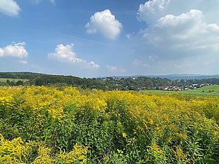
A ridge walk over the Mühlenberg follows via a winding rocky path, with impressive views of the Ahr valley, Hönningen and the hilltop village of Reifferscheid.
The descent to St. Catherine's Chapel in Ahrbrück is via a narrow, steep path. After 300 meters, the starting point is reached at Ahrbrück railroad station.




- ZG Vielseitig Aktive (L)
- ZG Aktive Naturgenießer (L)
- ZG Kultur- und Landschaftsliebhaber (L)
- ZG Nur Wanderer (L)
- Round trip
- Hiking trail
- Refreshment stop
- promising
- Hiker friendly
- Hiking

source
Verbandsgemeinde Altenahr
·
Author:
Ulla Dismon