EN
EN


Ahr Cycle Route
Discover the Ahr Valley on two wheels
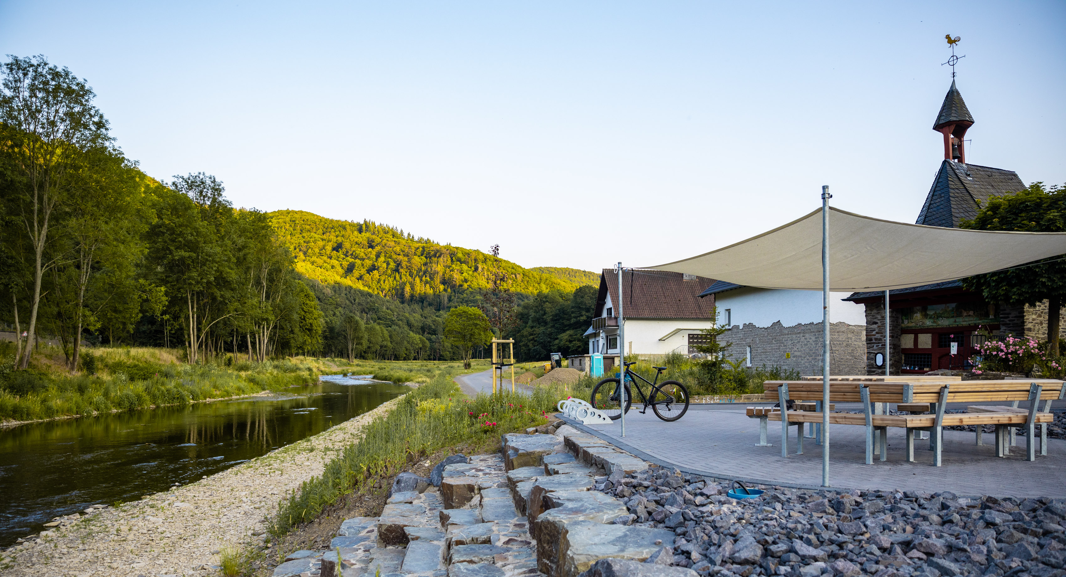
The Ahr Cycle Route winds its way for just under 80 kilometres through the varied landscape of the Ahr Valley, almost always following the river.
Thanks to ongoing reconstruction work, large sections of the route are already open to cyclists again. On certain stretches, signposted alternative routes bypass the remaining construction sections.
There are still gaps in the Ahr Cycle Route on the Fuchshofen–Schuld, Ahrbrück–Pützfeld and Altenahr–Laach sections. Here, the route follows regional or main roads. Public transport links are available along the route to bridge these gaps and to ensure a stress-free journey to and from the cycle path.
Map showing the accessibility of the Ahr Cycle Route
Milestone achieved in the reconstruction:
Since 19 June 2026, the Ahr Cycle Route has once again been fully accessible from Walporzheim to Mayschoß.


Tip:
Convenient travel to the start and back by public transport
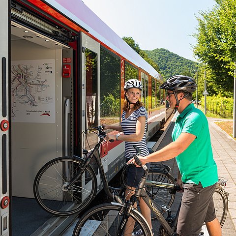
The Ahrtalbahn (RB30) runs hourly alongside the Ahr Cycle Route on the Ahrbrück–Remagen route and continues on to Bonn. From April to the end of October, the RadWanderbus (route 899) complements this service: it runs between Blankenheim and Ahrbrück and takes you stress-free to the starting point of your tour.
Current status of the sections of the Ahr Cycle Route
Section from Blankenheim to Ahrbrück:
Between Fuchshofen and Schuld, cyclists share the road on the county road. Along the L73, planning for the construction of a cycle path running alongside the road – which had already begun before the floods – is continuing. In the centre of Schuld, there is currently a large construction site where cyclists must dismount.
Ahrbrück to Altenahr section:
Between Ahrbrück and Pützfeld, there is a closure in the ‘Im Mühlenauel’ area, which is expected to last until December 2026. As no alternative route has been designated, we recommend using the Ahrtalbahn trains to cover this section.
The section between Pützfeld and Altenahr is generally accessible via alternative routes. We advise particular caution on the stretch between Altenburg and Altenahr, as the alternative route runs partly along the busy main road and across narrower temporary bridges.
Altenahr to Mayschoß-Laach section:
At present, no safe route through the Ahr Valley can be recommended for the stretch between Altenahr and Laach . Due to heavy traffic, cyclists are advised not to use the B267 as an alternative route. It is possible to take bicycles on the Ahr Valley Railway to cover this section.
Reconstruction of the Ahr Cycle Path in this area is being planned, but no completion date can be given at present.
Section from Mayschoß-Laach to Sinzig:
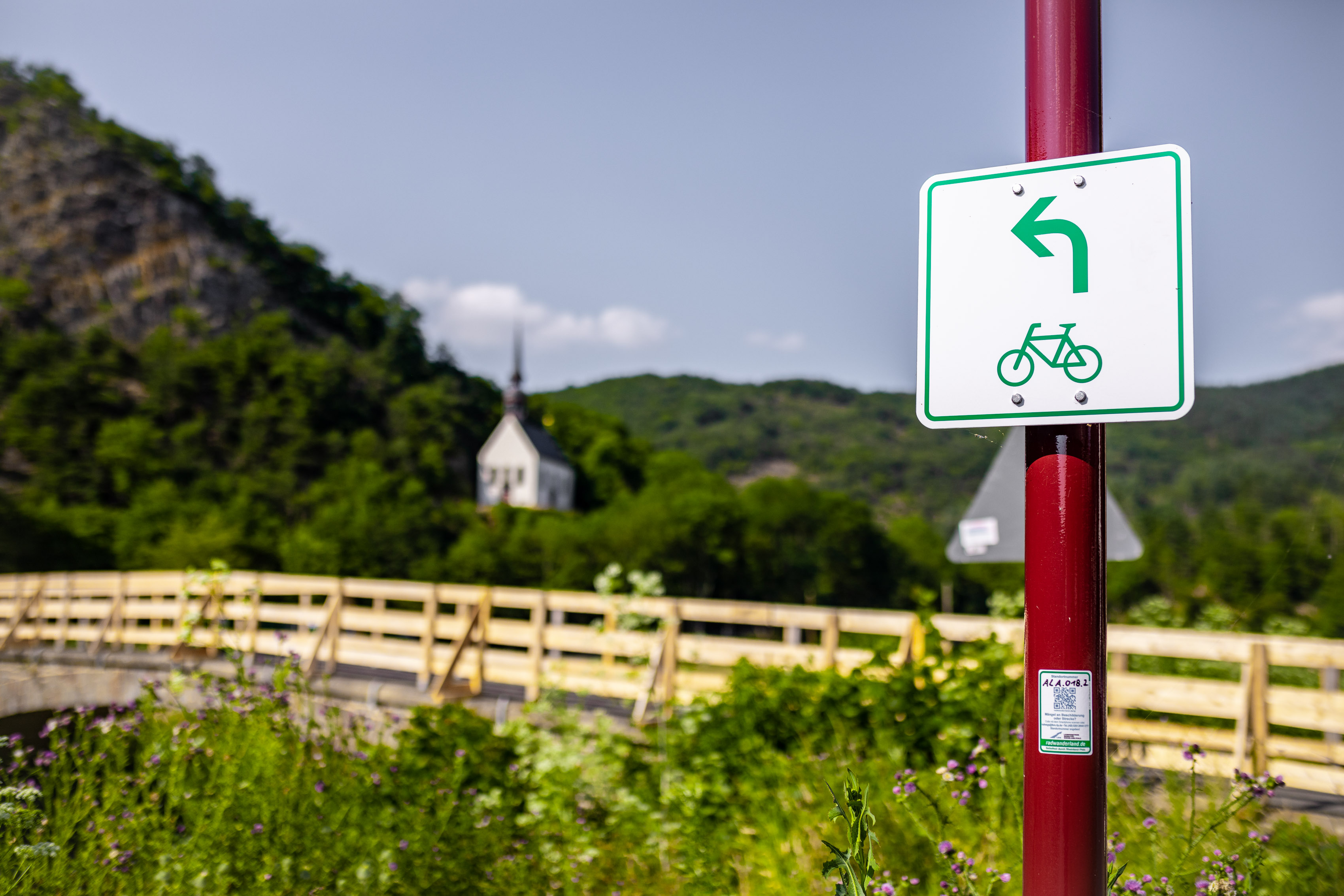
Between Laach and Sinzig, the route is accessible via diversions. In some sections, the Ahr Cycle Route runs along temporary arrangements and alternative routes through the built-up areas of Bad Neuenahr-Ahrweiler. Please follow the signposting for the alternative Ahr Cycle Route.
Download PDF: Dernau alternative route
Download PDF: Sinzig–Mayschoß diversion
Download PDF: Mayschoß–Sinzig diversion
Please note that caution and care are advised when cycling on the Ahr Cycle Route, as short-notice closures, diversions or construction work may occur from time to time.