EN
EN





Tour
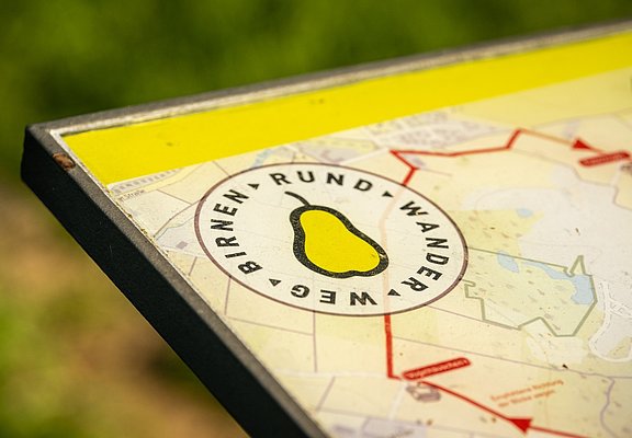
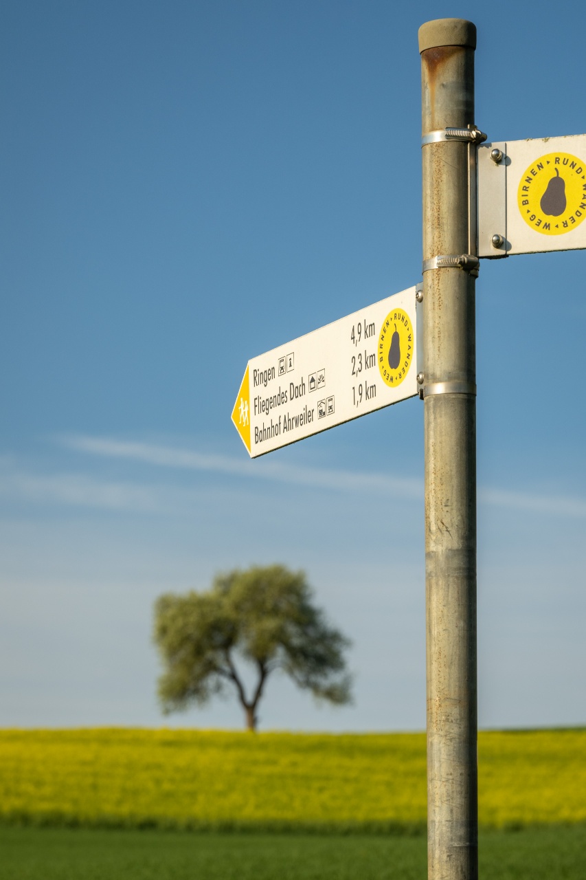
Lantershofen pear circular trail
The circular hiking trail begins east of Lantershofen at the parking lot south of the L 83 on the red wine hiking trail. It continues westwards through the historic "Schwallhüll" hollow path into the village of Lantershofen; here it first passes through Rheinstraße, then joins SchmittstraßeThe route follows this road until it turns off into Gartenstraße; it continues through Gartenstraße and, on reaching the street "Im Wickchen", turns NE into Graf-Blankard-Straße. Follow Graf-Blankard-Straße initially to the east, then via the church forecourt ("Am Frumech") to Brennerstraße and follow this to the north to the junction of Brennerstraße/Karweiler Straße/Dorfgraben/Winzerstraße (Platz "op de Pomp"). The hiking and information trail then leads through Winzerstraße, past the historic buildings of the Lantershofen winegrowers' association. At the newly designed village entrance square, turn NW into Hemmessener Straße (parallel to the L 83) and then cross the Pechweingarten. At the end of this street, the route heads north along Karweiler Straße to the St. Josef chapel.
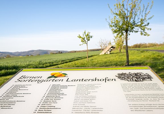
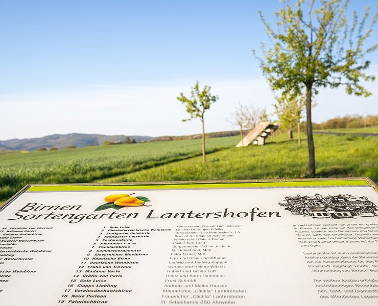
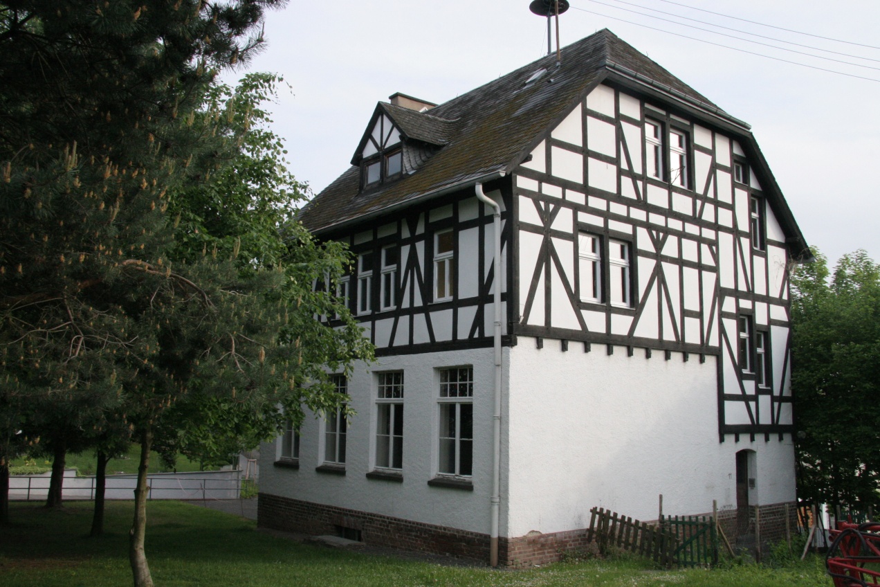
As you make your way through the historic village of Lantershofen, you will pass listed buildings, a former aristocratic residence/now an inter-diocesan seminary of the Catholic Church (St. Lambert), the Lantershofen hall church (built in 1966/1967), various distilleries/distilleries, a mill and much more.From the St. Josef chapel, you walk in a north-westerly direction along a developed/asphalted pedestrian path (parallel to the L83) and after 300 m you reach the Lantershofen pear orchard.
The circular pear trail then continues on the pedestrian path parallel to the L83 in the direction of Ringen. Ringen is bypassed to the south; through 1 km of open terrain. In a south-westerly direction, the hiking trail finally leads to the Assbacher Hof, before turning south-east and crossing the Fuchsbach stream after a further 500 m. The trail continues south and runs parallel to the former railroad embankment, a strategic railroad line that was never completed due to the First World War. After another 400 m in a southerly direction, you reach the red wine hiking trail.
(Visitors who have parked their car at the parking lot at the starting point can reach it again immediately on foot through the village or Lantershofen to the south).
The circular hiking trail begins east of Lantershofen at the car park south of the L 83 on the red wine hiking trail. It continues westwards through the historic "Schwallhüll" hollow path into the village of Lantershofen; here it first leads through Rheinstraße, then joins Schmittstraße and follows it until it turns off into Gartenstraße; through Gartenstraße and on reaching the street "Im Wickchen", it continues to the NE into Graf-Blankard-Straße. Follow Graf-Blankard-Straße initially to the east, via the church forecourt ("Am Frumech") you then reach Brennerstraße and follow this to the north to the junction of Brennerstraße/Karweiler Straße/Dorfgraben/Winzerstraße (Platz "op de Pomp"). The hiking and information trail then leads through Winzerstraße, past the historic buildings of the Lantershofen winegrowers' association. At the newly designed village entrance square, turn NW into Hemmessener Straße (parallel to the L 83) and then cross the Pechweingarten. At the end of this street, the route heads north along Karweiler Straße to the St. Josef chapel.
In the course of this route through the historic village of Lantershofen, you will pass listed buildings, a former aristocratic residence/now an interdiocesan seminary of the Catholic Church (St. Lambert's House of Studies), the Lantershofen church, the Lantershofen church and the St. Lambert's church. Lambert), the Lantershofen hall church (built in 1966/1967), various distilleries/distilleries, a mill and much more.
From the St. Josef chapel, you walk in a north-westerly direction along a developed/asphalted pedestrian path (parallel to the L83) and reach the Lantershofen pear orchard after 300 metres.
The circular pear trail then continues along the pedestrian path parallel to the L83 towards Ringen. Ringen is bypassed to the south; through 1 km of open terrain. The hiking trail finally leads in a south-westerly direction to Assbacher Hof, before turning south-east and crossing the Fuchsbach stream after a further 500 metres. The path continues southwards and runs parallel to the former railway embankment, a strategic railway line that was never completed as a result of the First World War. After another 400 metres in a southerly direction, you reach the red wine hiking trail.
(Visitors who have parked their car at the car park at the starting point can reach it again immediately on foot through the village or Lantershofen to the south)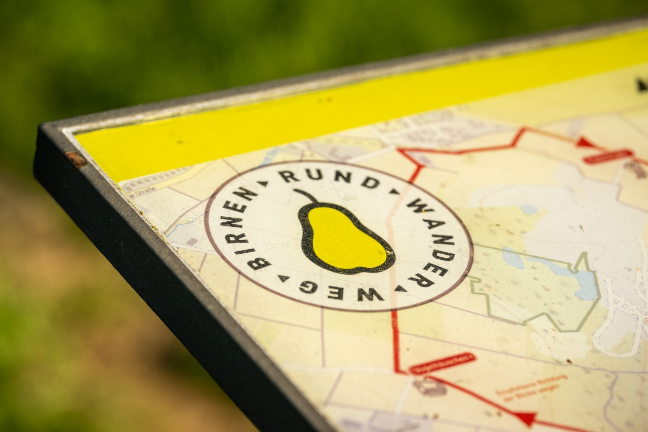

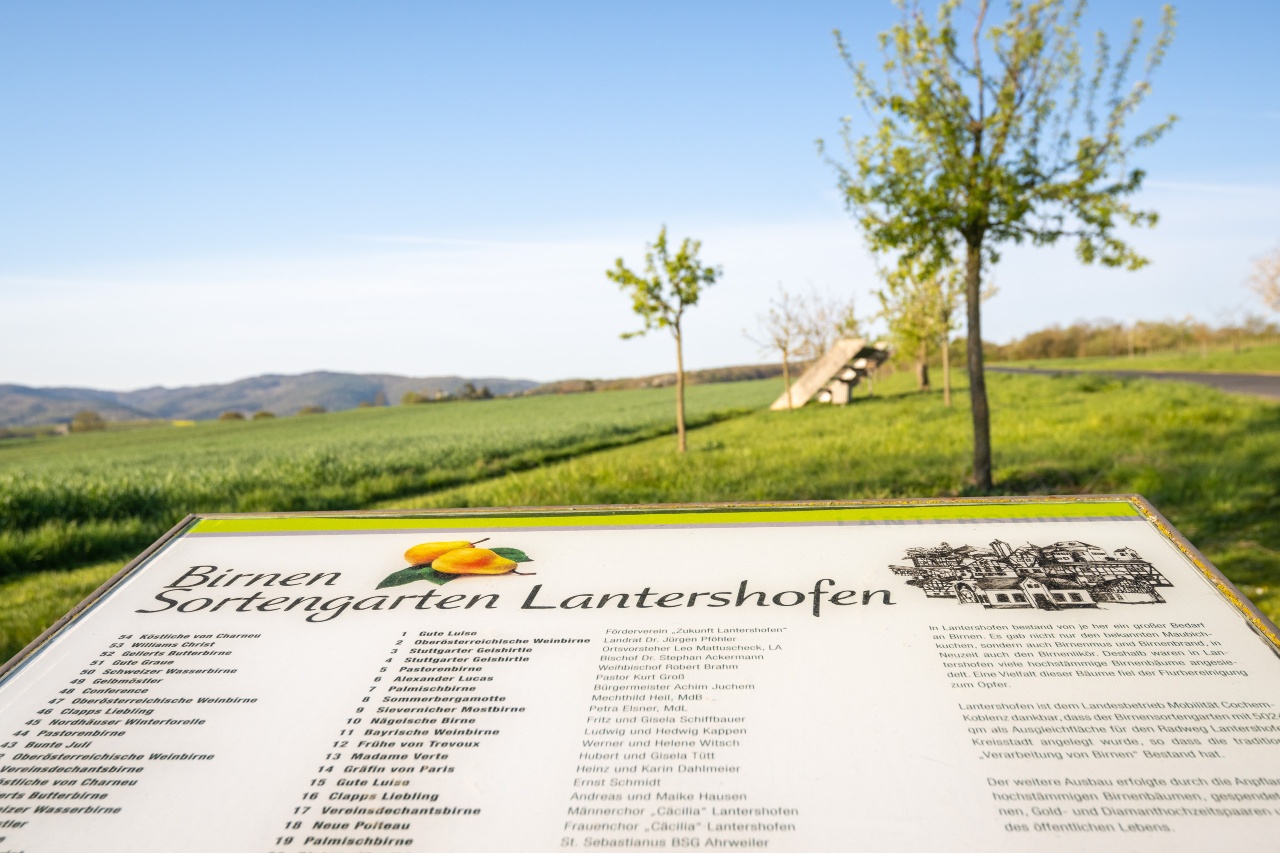


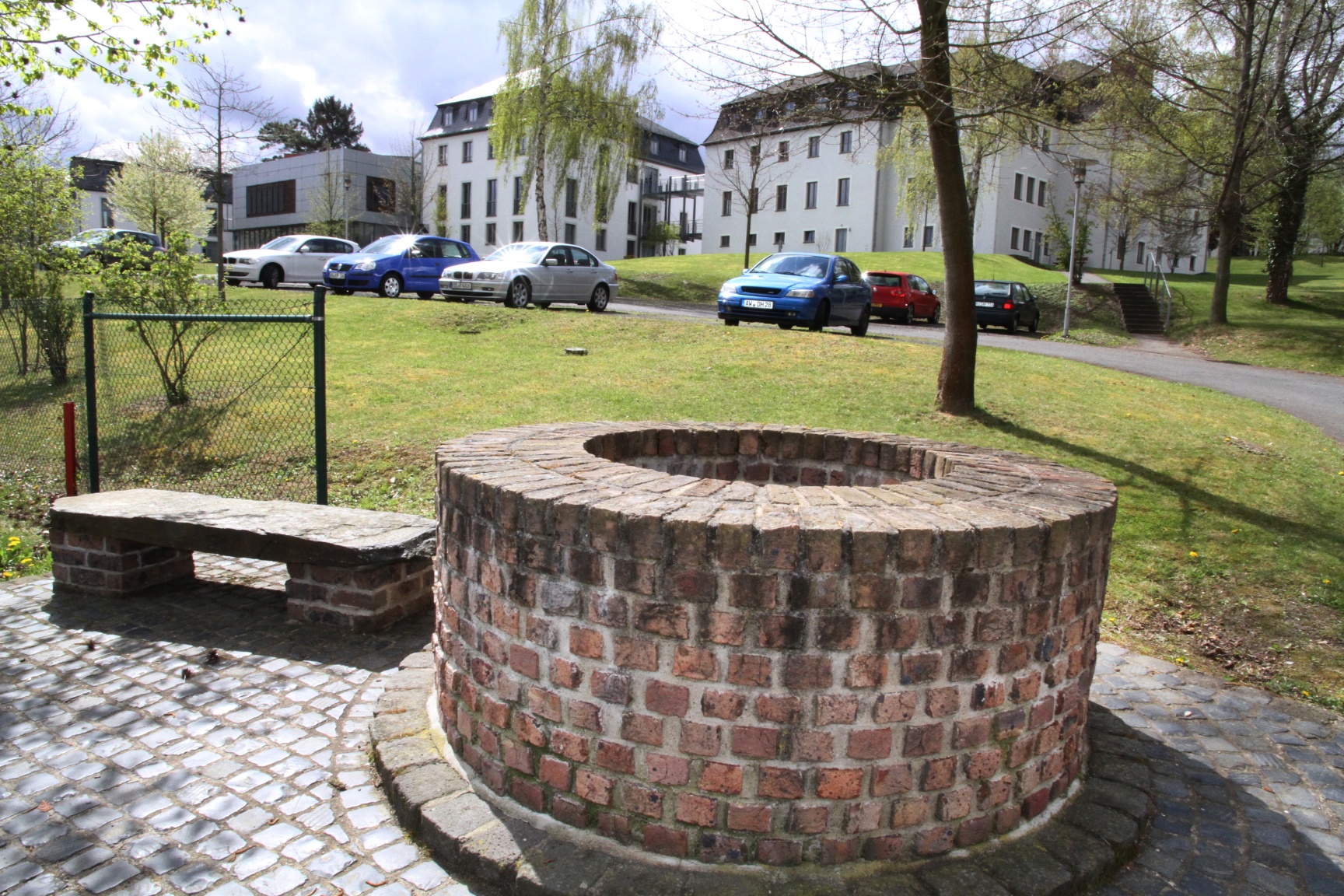

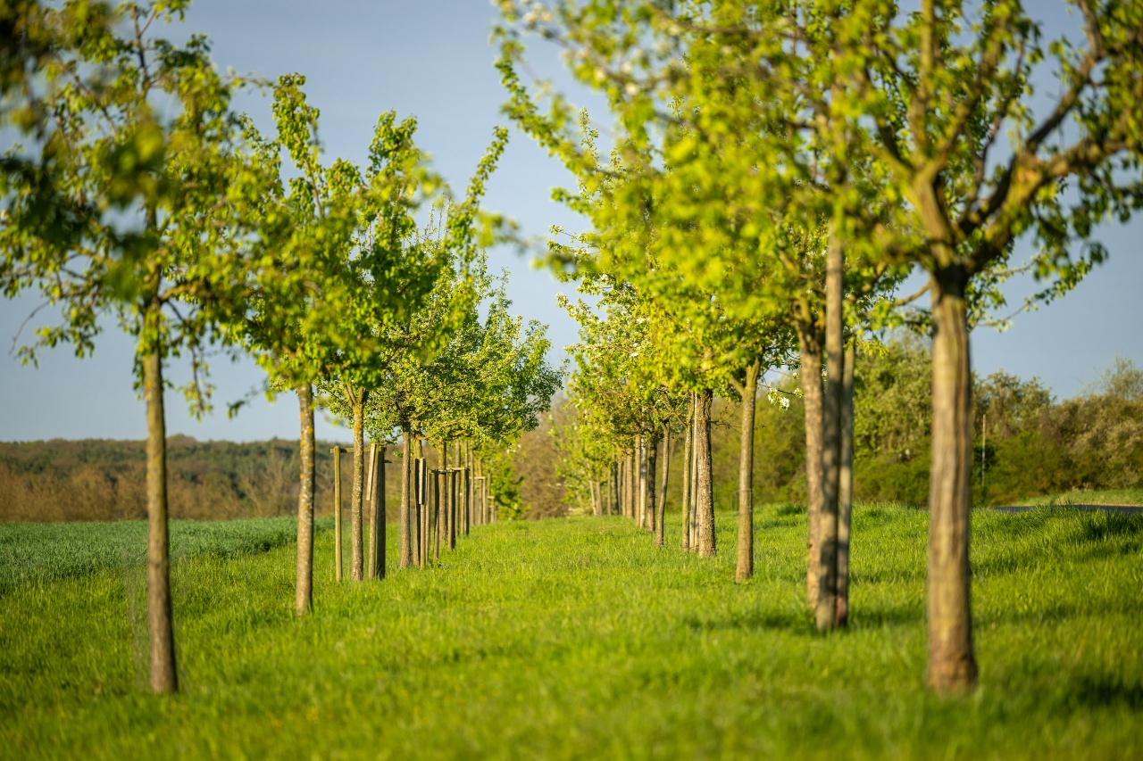
- ZG Vielseitig Aktive (L)
- ZG Aktive Naturgenießer (L)
- ZG Kultur- und Landschaftsliebhaber (L)
- ZG Nur Wanderer (L)
- ZG Städte-Genießer (L)
- Round trip
- Family friendly
- Culture highlight
- promising
- Hiking
- Back for you

source
Gemeinde Grafschaft
·
Author:
Michelle Harrichhausen