EN

Rundwanderweg A5 "Panoramaweg"
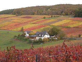
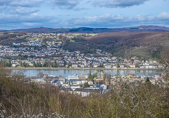
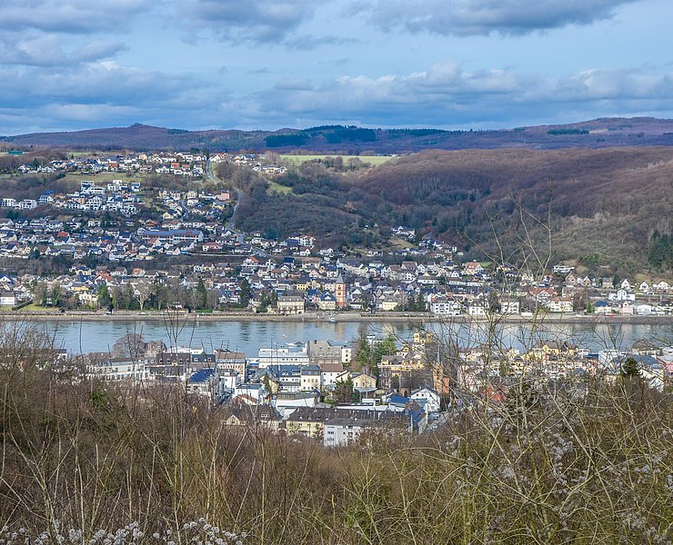
Start at the "Monte Klamotte" hikers' car park. The hiking trail A 5 is well signposted both clockwise and anticlockwise. This description is counter-clockwise. Immediately at the 2nd oak tree you will find the continuous signposting of the circular hiking trail A 5 with corresponding directional arrows. On the left, mixed deciduous/coniferous forest, on the right, the fields of the resettlement farms, you pass a drinking water tank and head straight into the forest. Part of the path is identical to the forest nature trail. Past a Jewish cemetery, the level path leads us to the Reisberg (192.2 m above sea level) through mixed deciduous/coniferous forest to a resting bench. Here we follow the signs to the left. After a few hundred metres, the trail goes slightly downhill. The wide forest path narrows to a narrow path. From here on, we hike through pure mixed deciduous forest. Halfway up, there is a visual axis with a view of Sinzig and, further on, of the Rhine valley as far as the Andernach Gate. We now leave the forest with its robinia trees at the edge of the forest and continue downhill past meadows for a short distance until we follow the signs to the left and continue slightly uphill. From the first slight hill in the field, a wonderful panoramic view becomes available. With a sweep, starting upstream, we see Sinzig, then the Andernacher Pforte, further to the left Linz, Bruchhausen, the Siebengebirge from the Löwenburg to the Drachenfels and behind us the Reisberg. We continue along grassy paths to another hilltop, from where the view to the north into the Rhine valley becomes clear. From here you can also see the Rolandsbogen and the Rhine island of Nonnenwerth. Following the signs on an asphalt path, we come to just before Haus Hohenlinden. Along the slope, the path leads us uphill again until we reach our starting point again on the heights.